Netherlands
4 cities available
The Netherlands' cities are engineering marvels — built on reclaimed land, organized around canals, and planned with a precision that reflects centuries of water management expertise. Amsterdam's famous concentric canal ring creates one of the most iconic and instantly recognizable city maps in the world. Rotterdam's post-war modernist grid, rebuilt from scratch after 1940, offers a striking counterpoint.
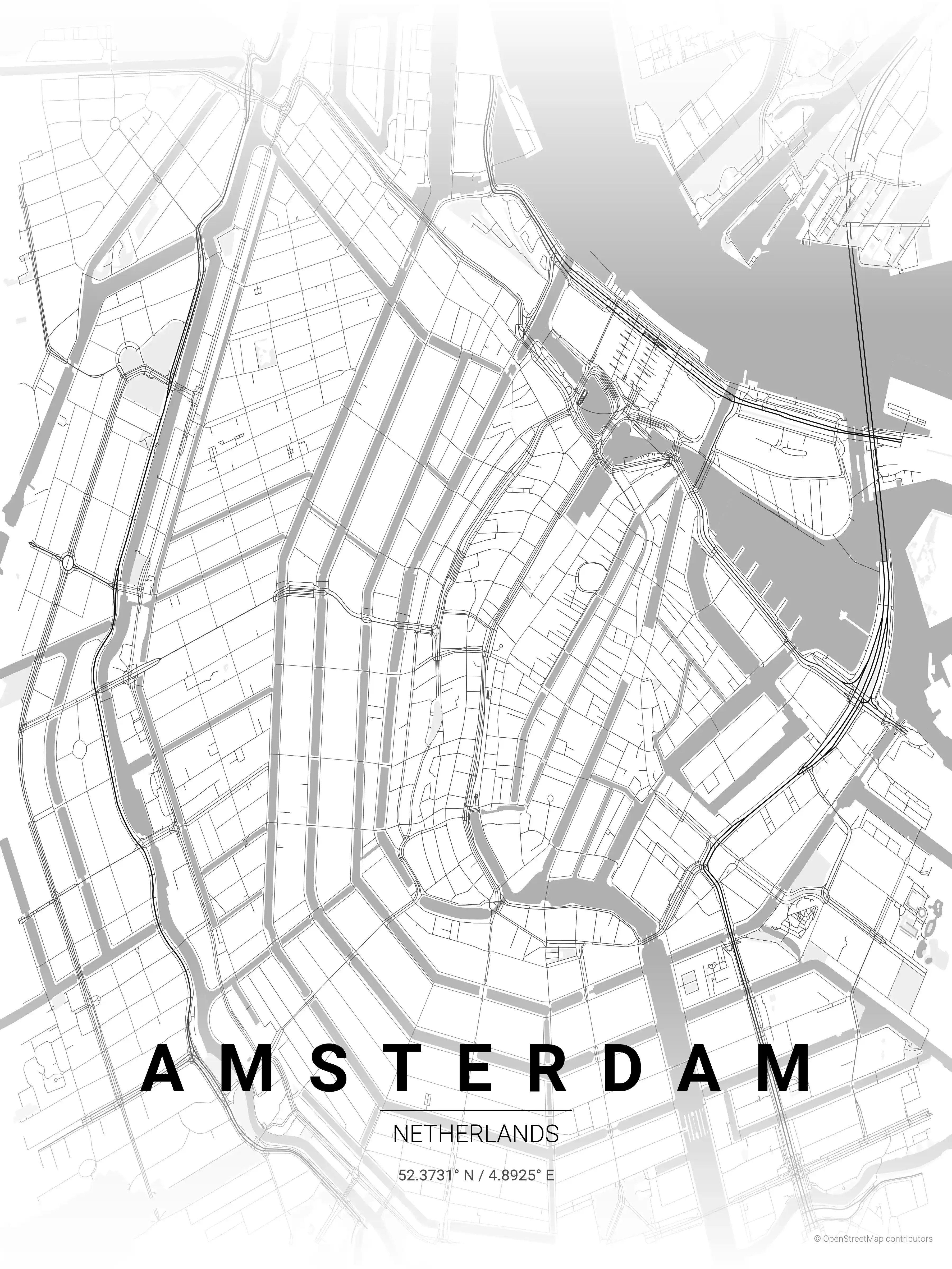
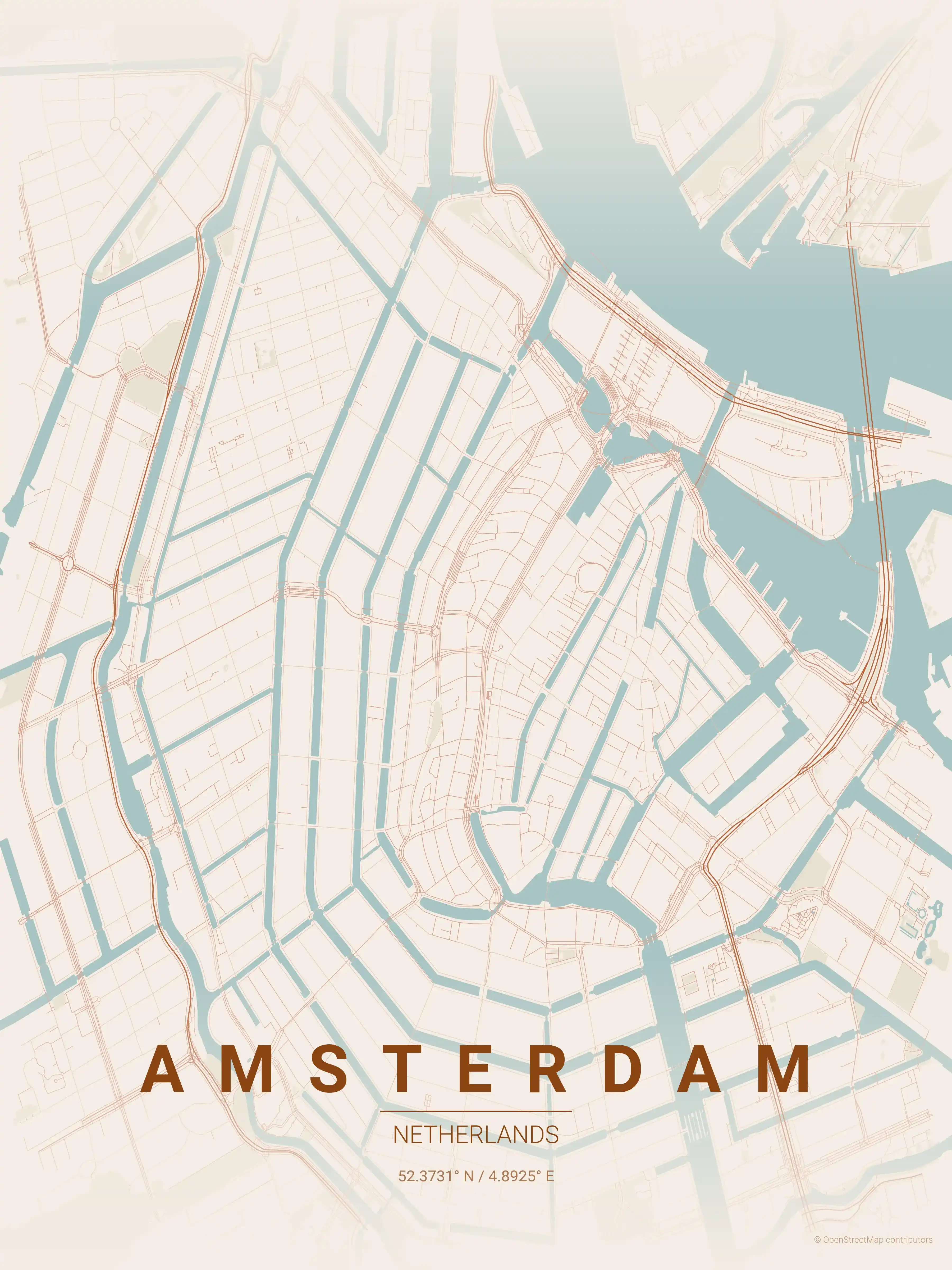
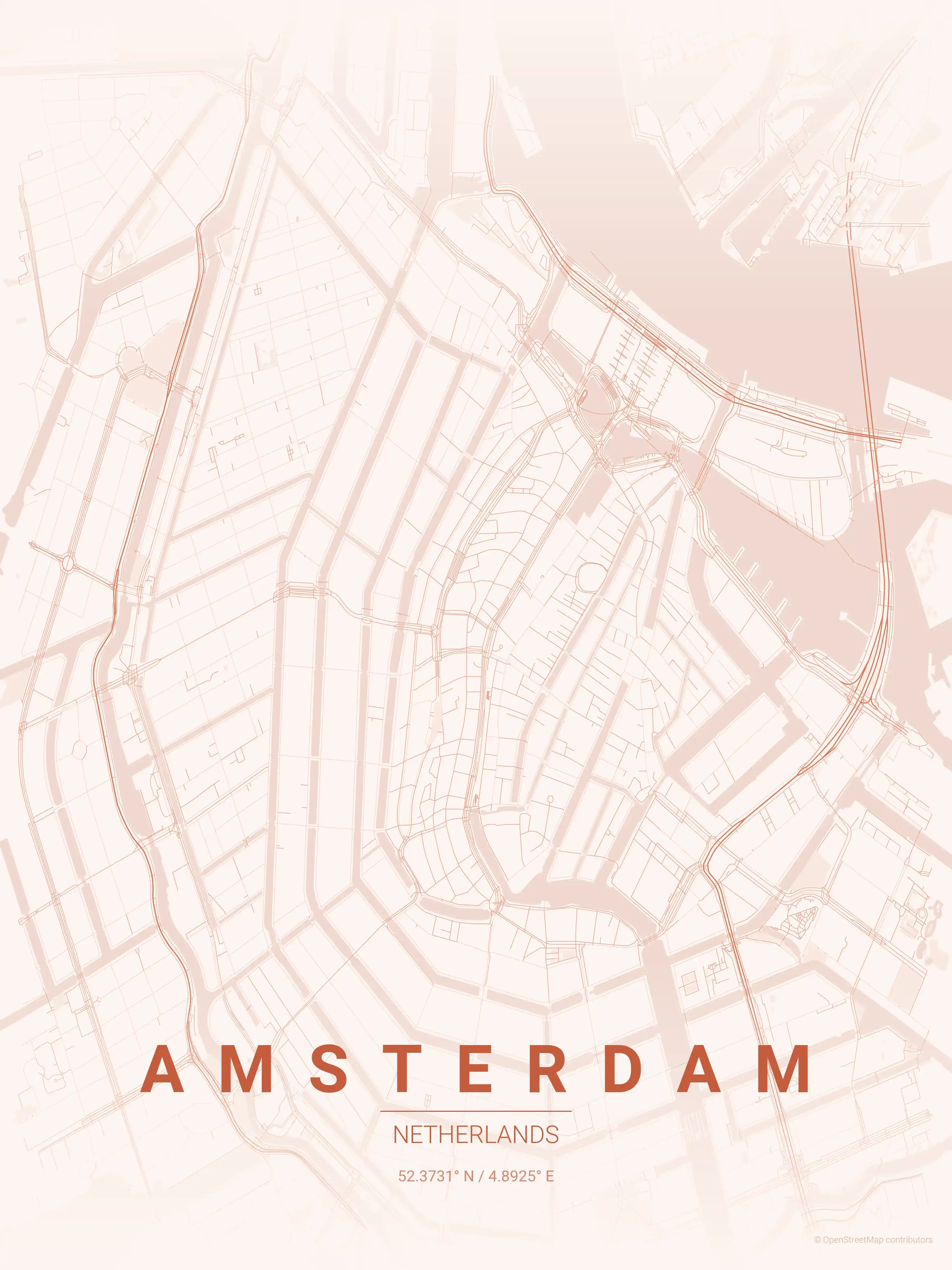
Amsterdam
Adorn your space with our minimalist Amsterdam map poster, featuring the city's famed canals and unique street network. Ideal for urban art lovers and modern interiors.
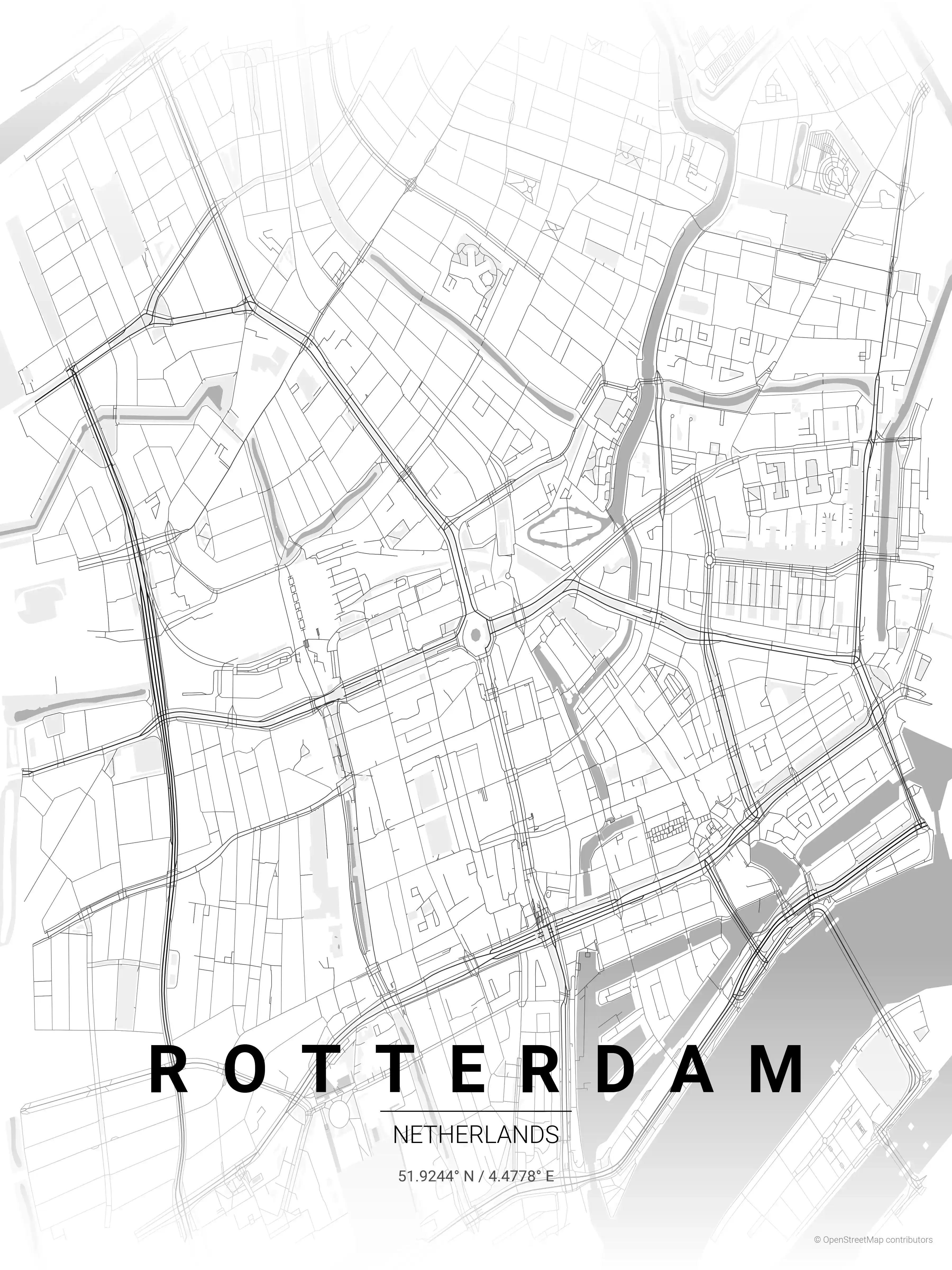
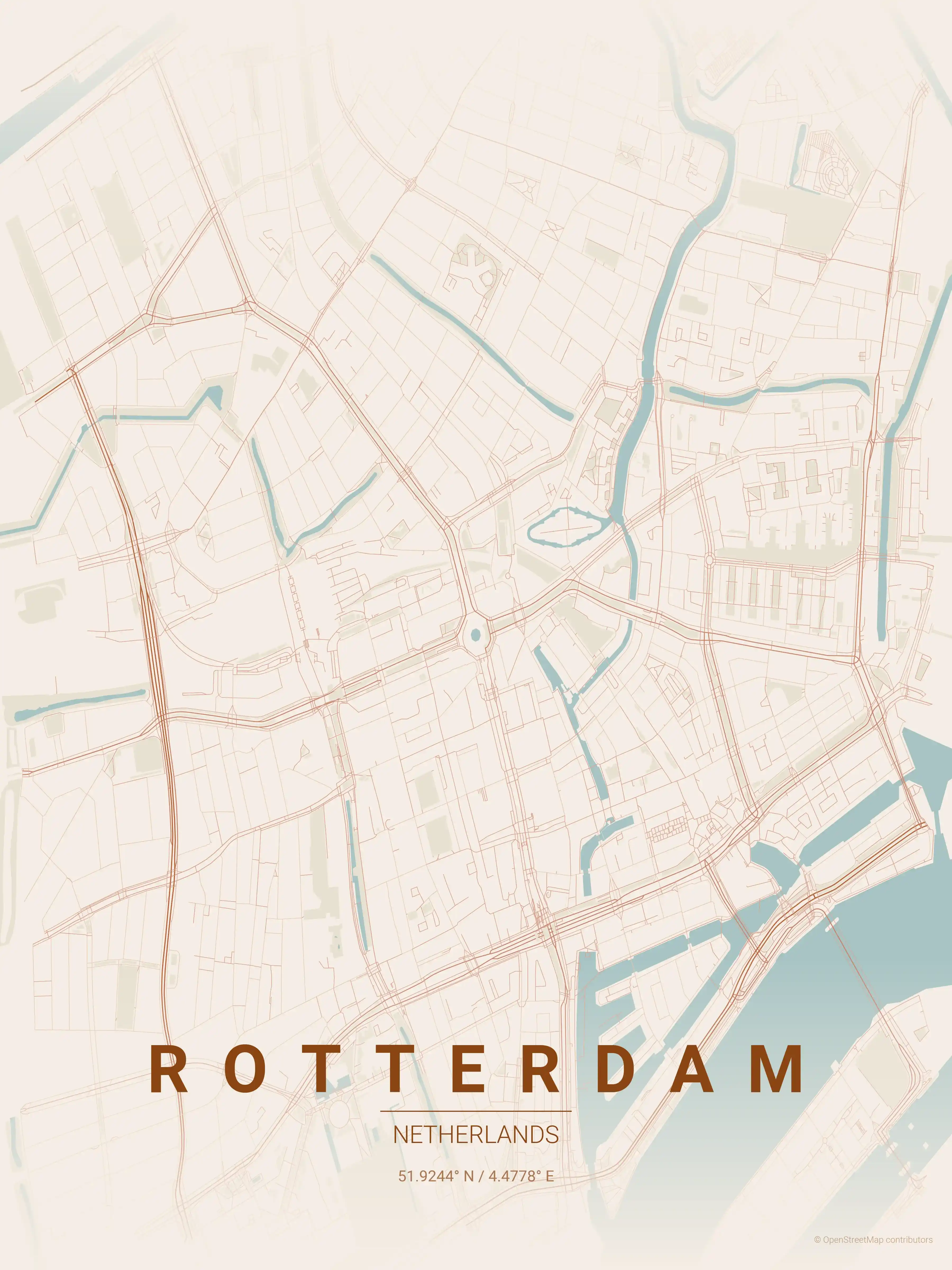
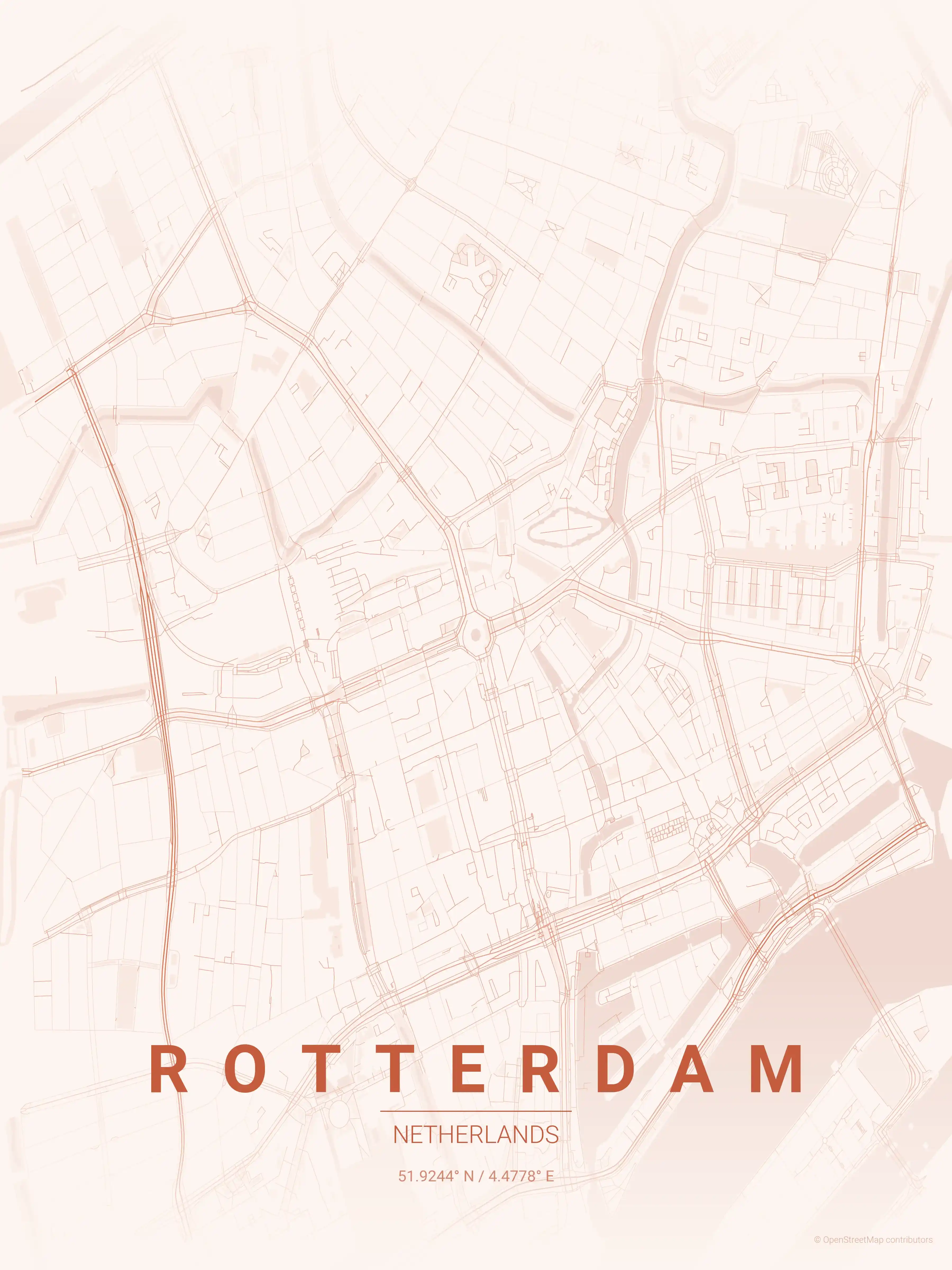
Rotterdam
Adorn your wall with our Rotterdam map poster, showcasing the city's iconic waterways and Erasmus Bridge. Perfect for urban art lovers and modern interiors.
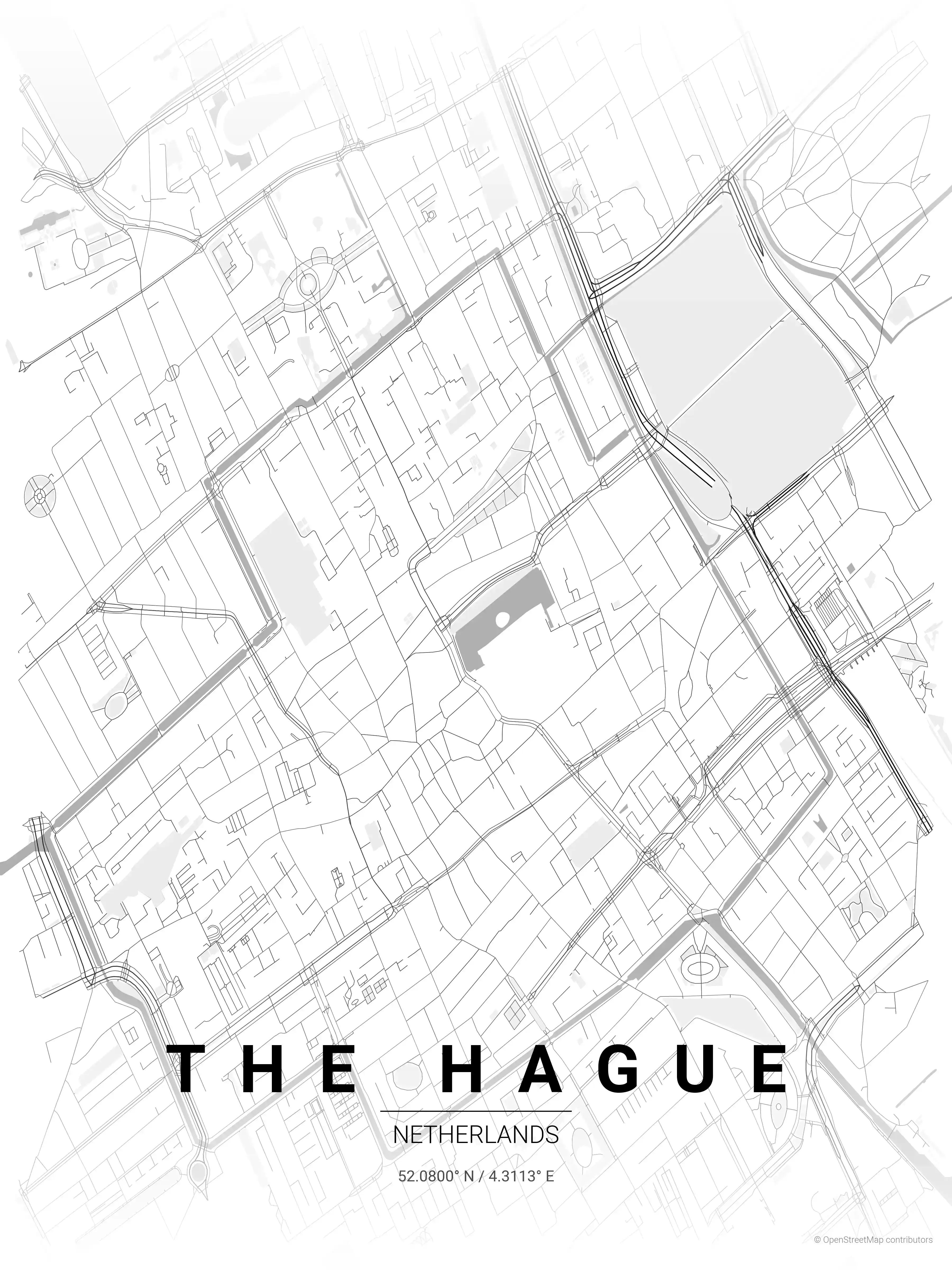
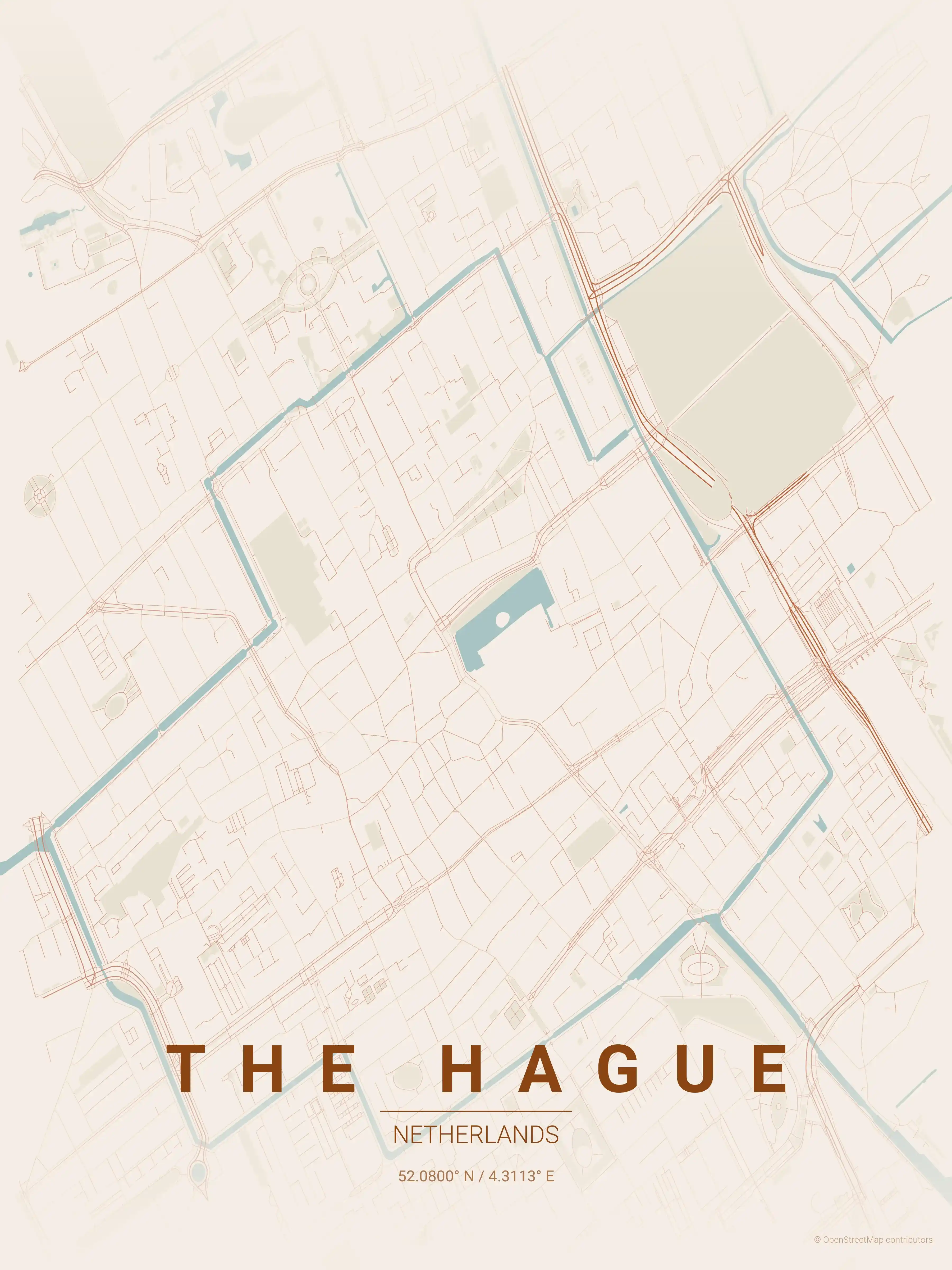
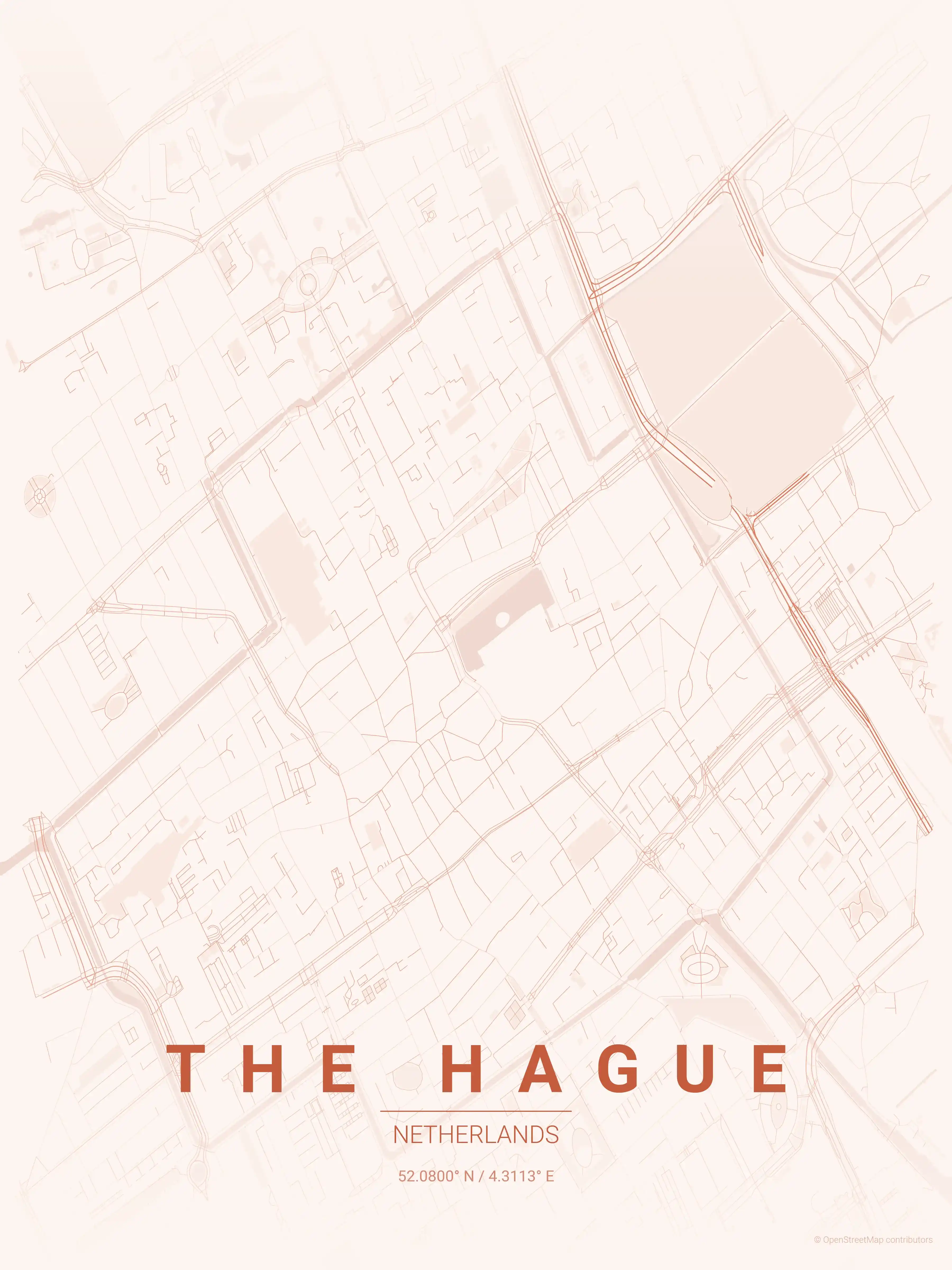
The Hague
Admire The Hague's iconic landmarks with our minimalist street map poster. Perfect for modern interiors and urban art lovers, it captures the city's unique aesthetic.
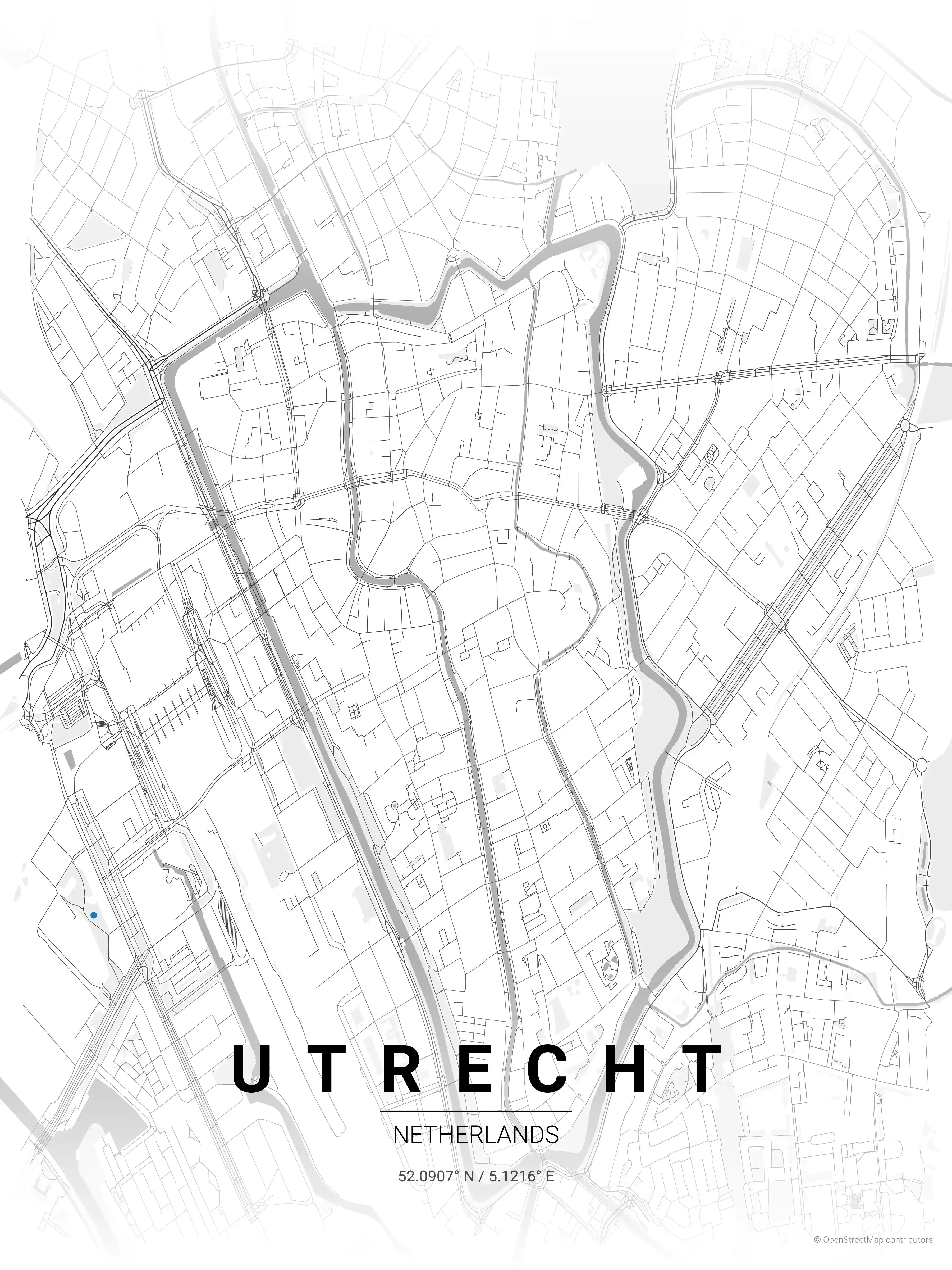
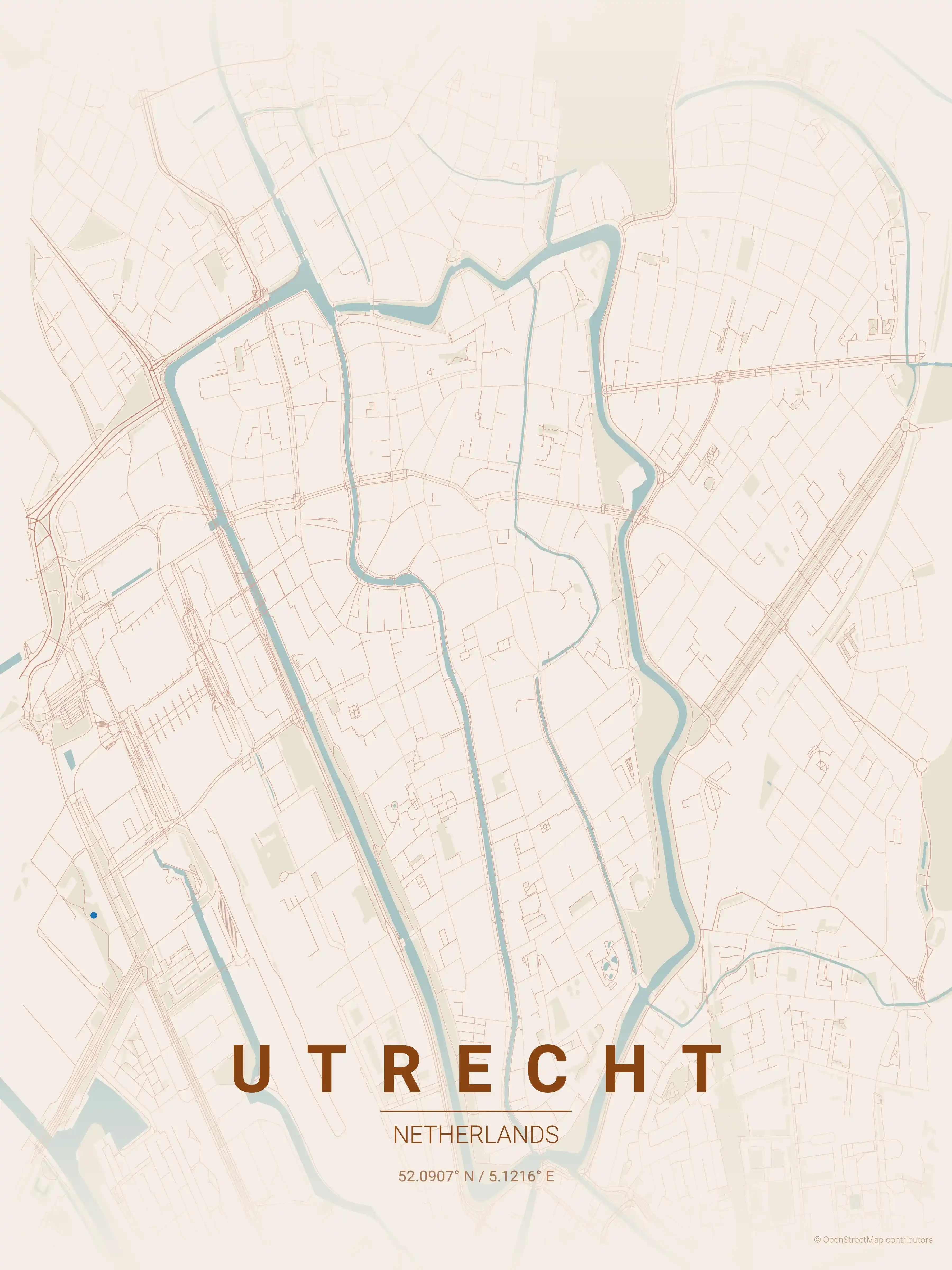
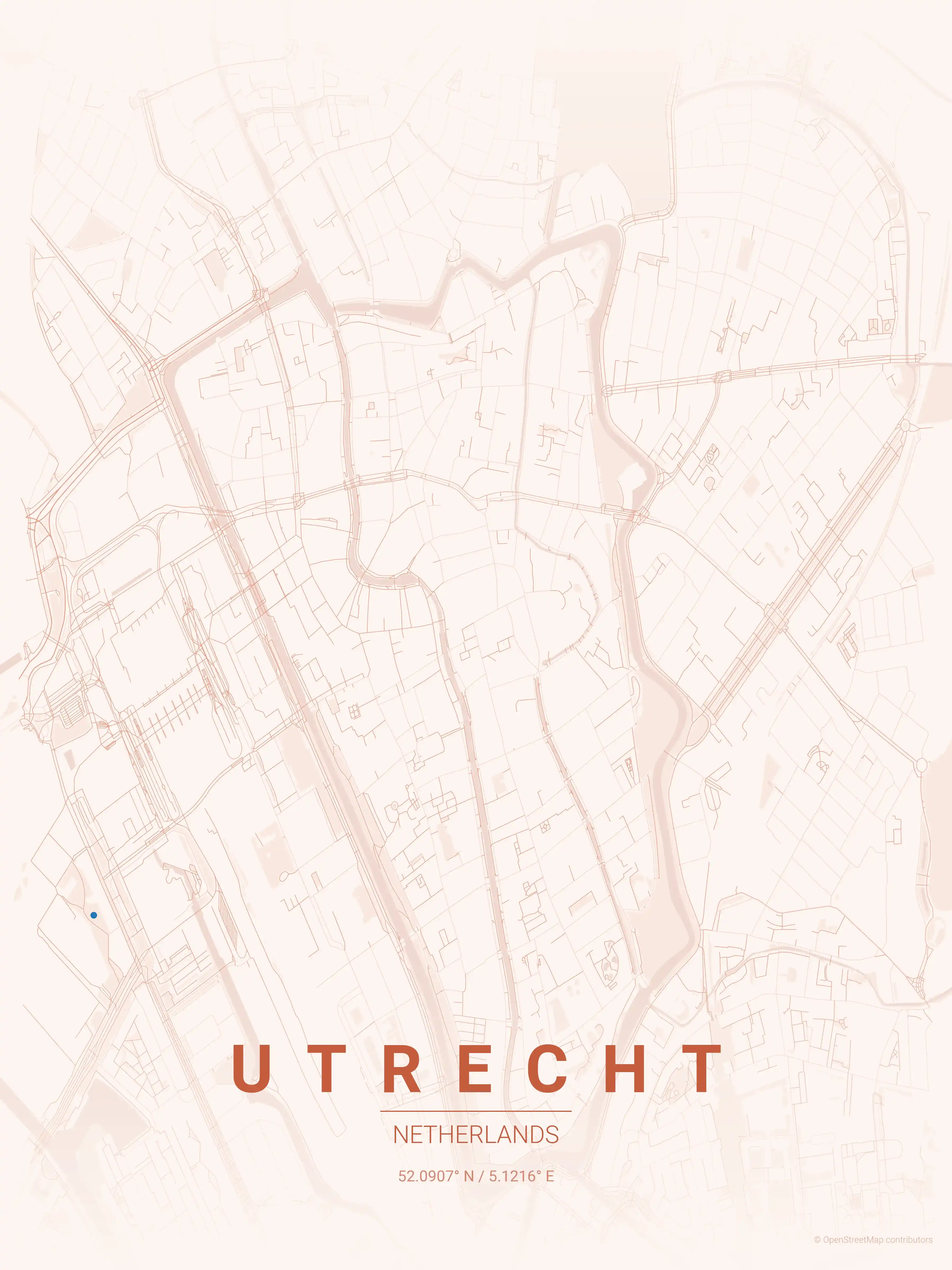
Utrecht
Adorn your space with our minimalist Utrecht, Netherlands street map poster, capturing the city's iconic canals and Dom Tower. Ideal for modern interiors and urban art lovers, this piece transforms a complex network of streets into a stylish aesthetic.
About Netherlands City Maps
Our Dutch city map collection showcases the unique character of cities built in dialogue with water. Canal networks, polder grids, and harbor districts give Dutch city maps a distinctive linear quality. Every bridge, waterway, and carefully planned block is visible in the street network.
Every Dutch city comes in 9 artistic themes. The blueprint palette suits the engineering heritage, while the midnight blue theme captures the atmosphere of Amsterdam's canal-side evenings. All downloads are free and high-resolution.
Explore More Cities
Discover map posters from cities across Europe in our complete collection.