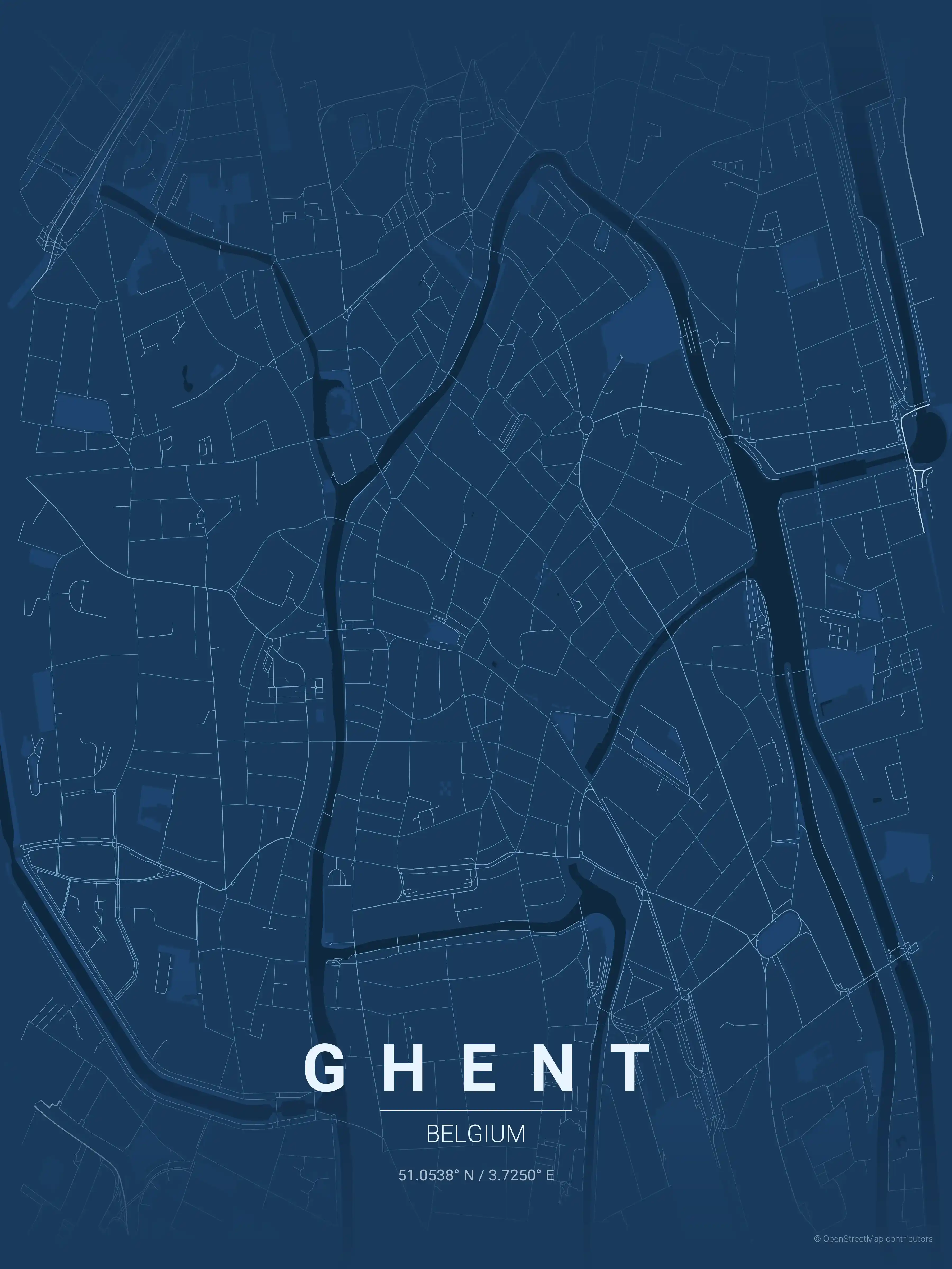
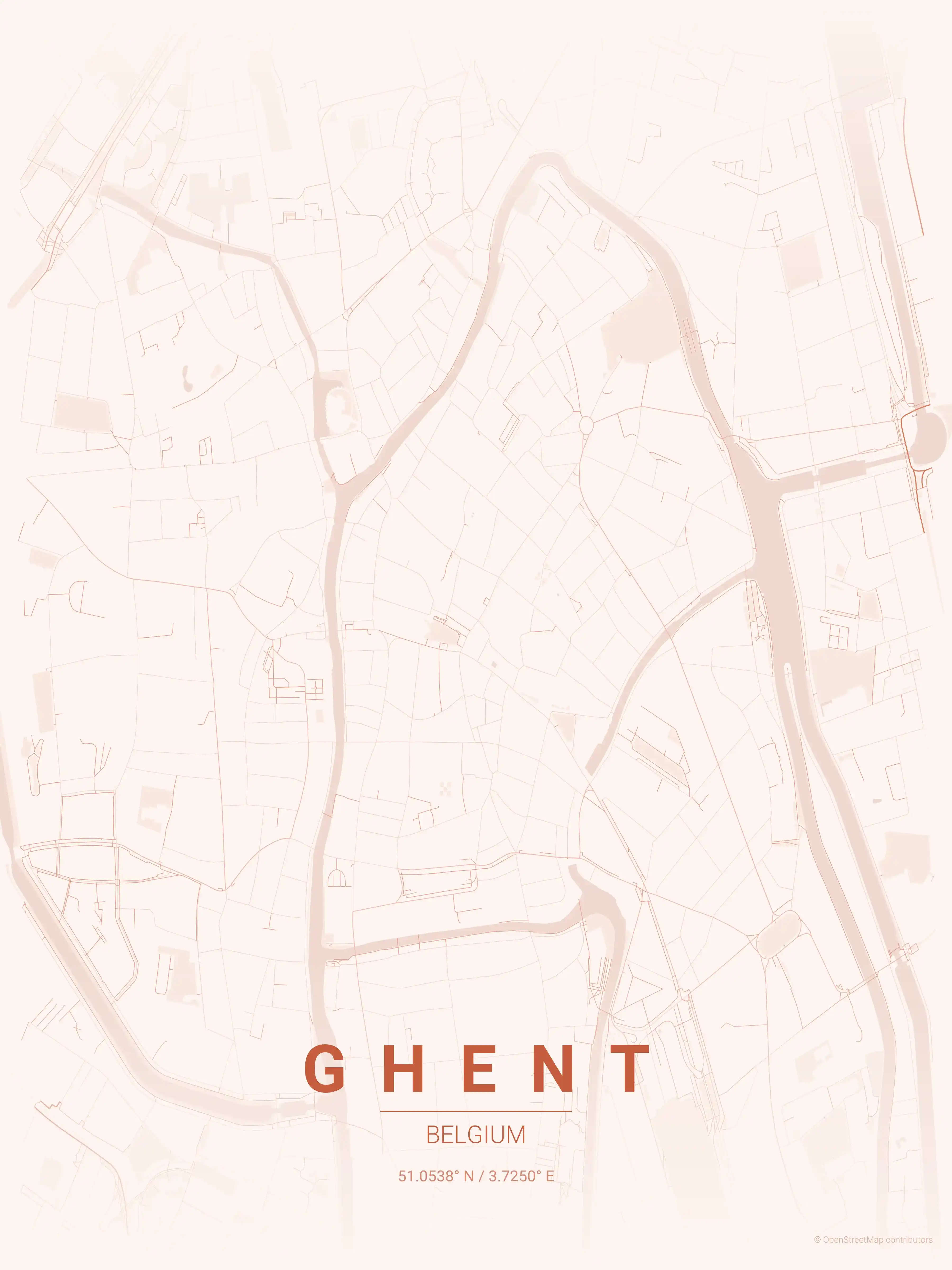
Ghent Street Map Poster
Free printable Belgium city map & outline — contrast zones theme
Free high-resolution downloads. Print anywhere you like.
Digital Download
Free
High-resolution digital file
What You Get
- High-resolution WebP file
- Optimized for any print size
- Multiple artistic themes
- Free for personal use
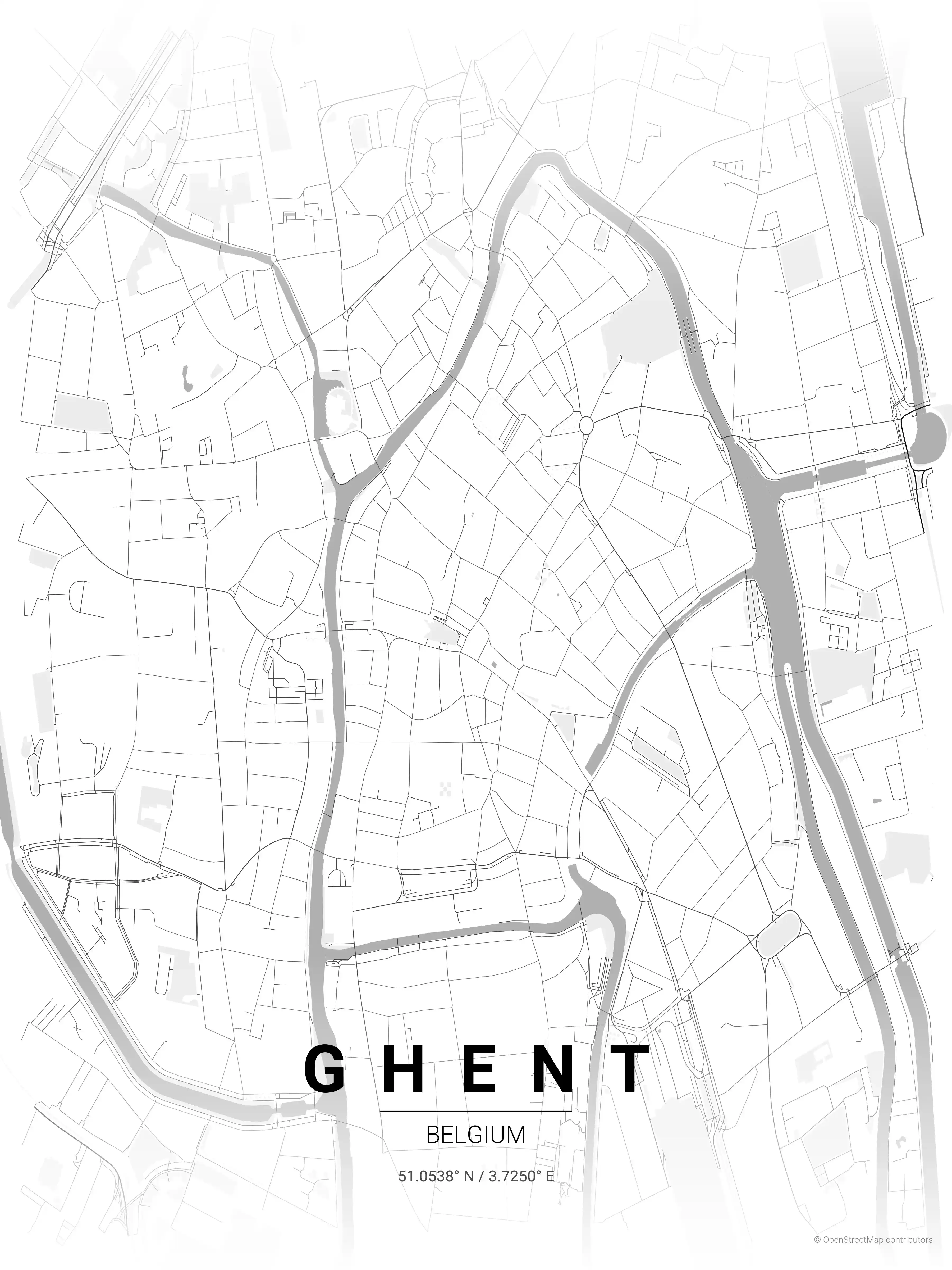
Free Printable Ghent Street Map
This is a detailed, minimalist street map of Ghent, covering the the medieval Patershol quarter in Belgium, with landmarks such as the River Lys (Leie), the Graslei and Korenlei quays, St Bavo's Cathedral. Download it free as a high-resolution, print-ready file — equally at home as framed wall art or a clean reference street map and city outline of Ghent.
About the Ghent Map Poster
Water is what gives this Ghent street map its shape. The River Lys winds through the centre and meets the Scheldt here, and along its banks the famous Graslei and Korenlei quays line up their stepped guild-house facades. A few blocks east stand the three towers the city is known for: St Bavo’s Cathedral, the Belfry, and St Nicholas’ Church, with the moated Gravensteen castle holding the western flank of the old core.
The medieval Patershol quarter packs its lanes into the tightest part of the printable plan, just north of the castle, while the broad Vrijdagmarkt square and the green sweep of Citadelpark to the south give the city map its open counterpoints. Canals and side-channels thread the whole layout, a reminder that Ghent grew as an inland port at the confluence of two rivers.
Quietly romantic as wall art for any lover of this Flemish city. Explore the other Belgium city maps, or set it next to the Brussels map poster.
How to Print Your Ghent Map
Download the high-resolution file and print it at home, through an online print service (Printful, Printify, Shutterfly, Vistaprint), or at a local print shop. The Ghent street map prints crisp at sizes up to roughly A1 (24×36 in / 60×90 cm).
- · Popular frame sizes: A3, A2, 18×24 in, 50×70 cm
- · Portrait 3:4 aspect ratio — fits standard poster frames
- · No watermark · no attribution required for personal use
File Information
What's Included
- High-resolution file optimized for professional printing
- Instant download – no registration or account needed
- Print as many times as you like for personal use
- Clean design with no watermarks or attribution required
Theme Collection
Explore all available aesthetic variations
contrast zones
Click to preview
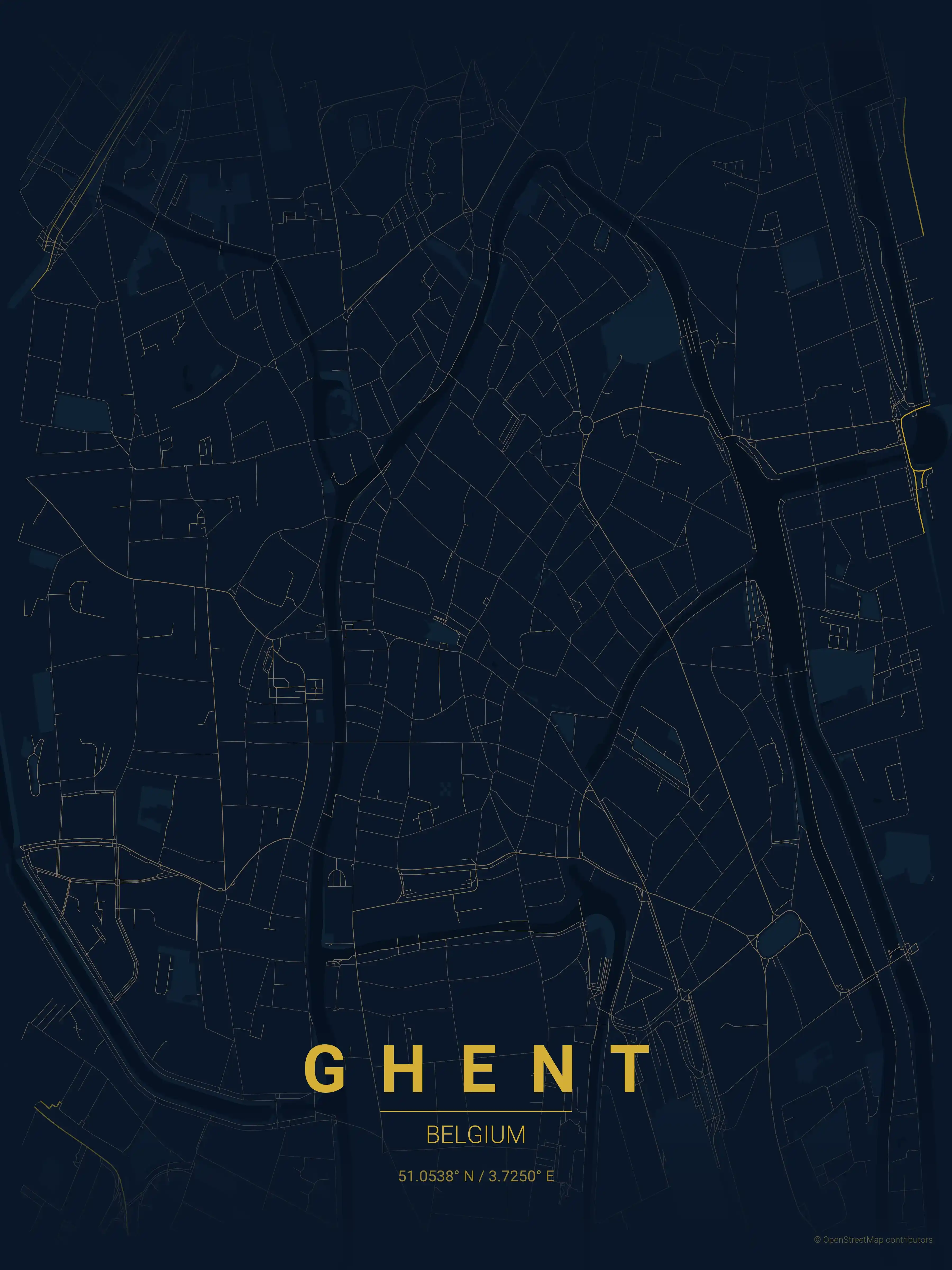
midnight blue
Click to preview
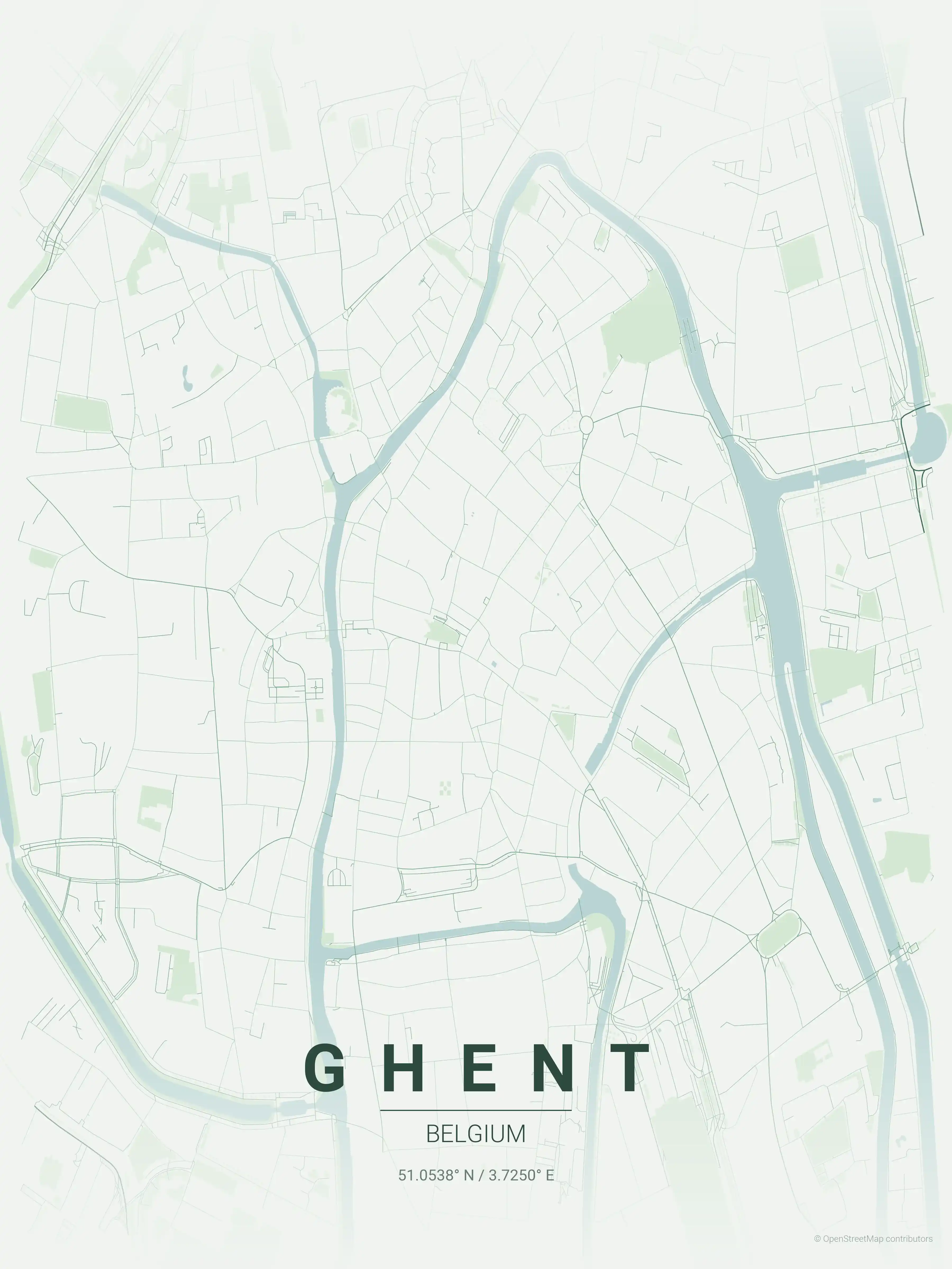
forest
Click to preview

neon cyberpunk
Click to preview
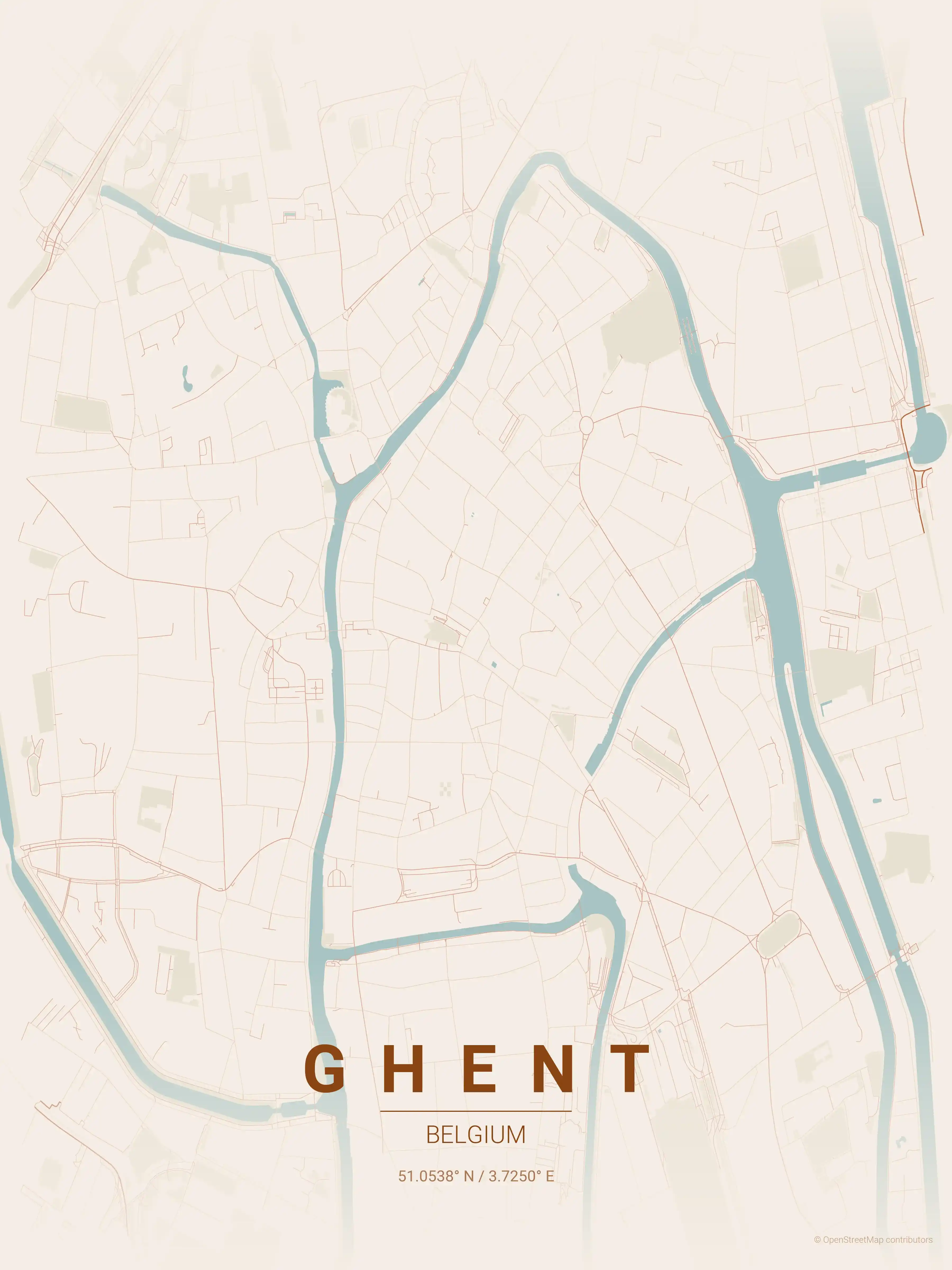
terracotta
Click to preview

japanese ink
Click to preview
blueprint
Click to preview
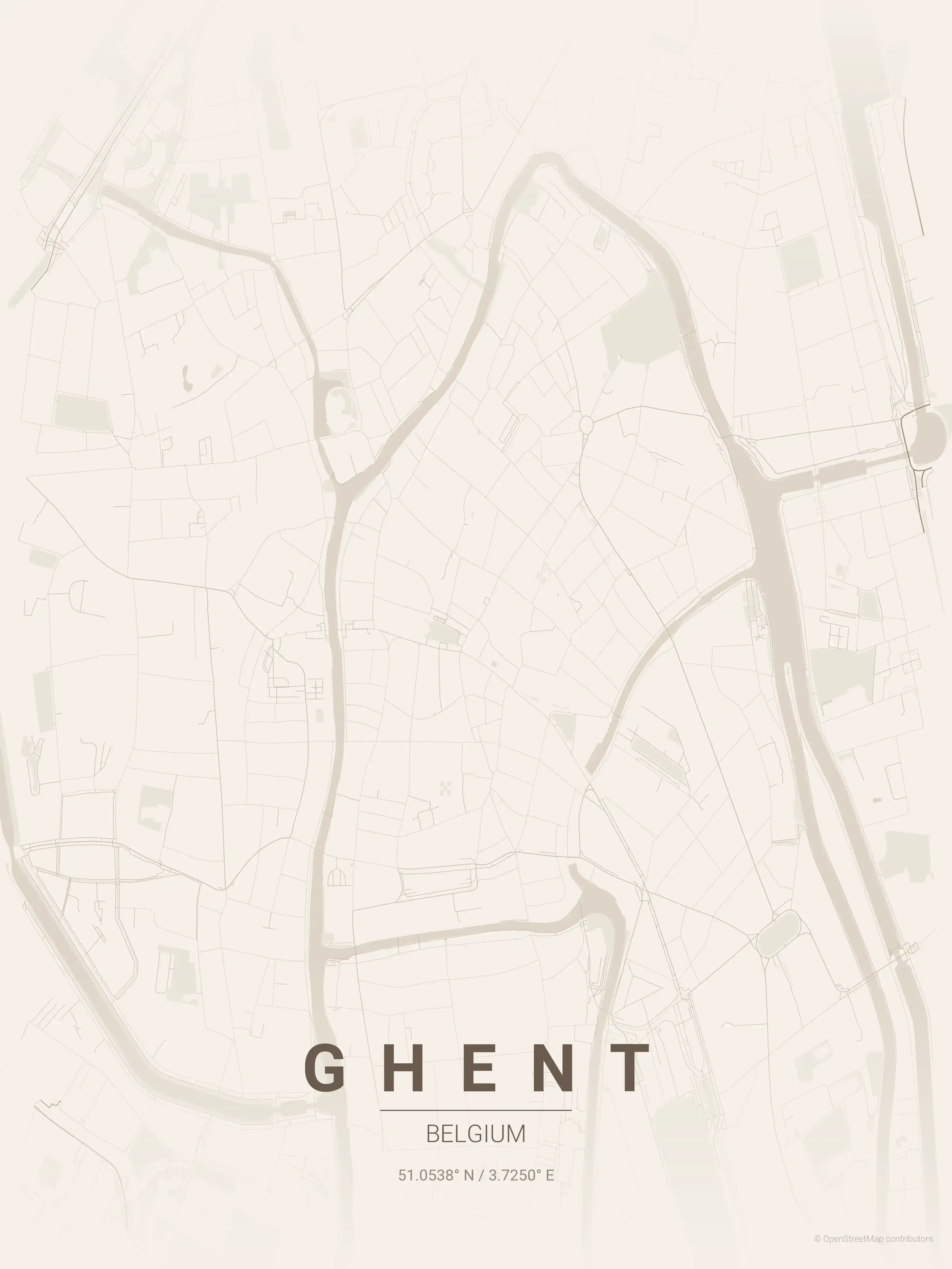
warm beige
Click to preview
sunset
Click to preview
Ghent Map — FAQ
Common questions about the free Ghent street map poster
Is the Ghent map poster free to download?
Yes. Every Ghent, Belgium street map poster is 100% free to download for personal use — no signup, no email, and no watermark. Download as many themes as you like.
What does the Ghent map show?
It's a minimalist street map of Ghent — a clean outline of the city's real street network, including the the medieval Patershol quarter and landmarks such as the River Lys (Leie), the Graslei and Korenlei quays, St Bavo's Cathedral. It works as both decorative wall art and a stylised reference map of Ghent.
What size can I print the Ghent map at?
The file is high-resolution and prints crisp at sizes up to roughly A1 (24×36 in / 60×90 cm). Popular frame sizes are A3, A2, 18×24 in and 50×70 cm.
How many themes are available for Ghent?
Ghent is available in 9 artistic themes, including contrast zones, midnight blue, forest and more — same street layout, different colour palettes.
More Maps from Belgium
Discover other cities in our collection
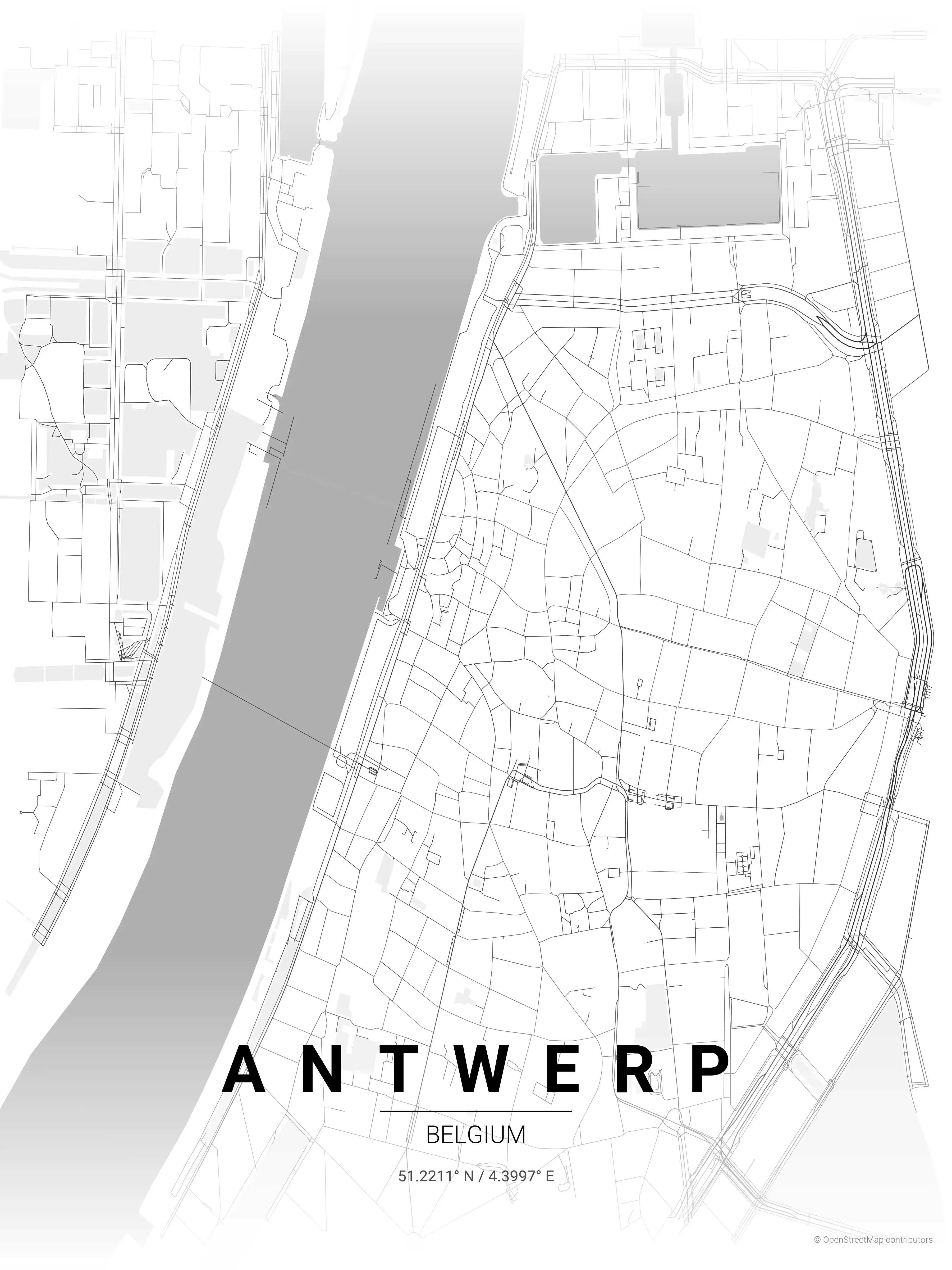
Antwerp Map Poster
Adorn your space with an intricate, minimalist map poster of Antwerp, Belgium. A stylish homage to the city's iconic streets and landmarks, perfect for modern interiors and urban art lovers.
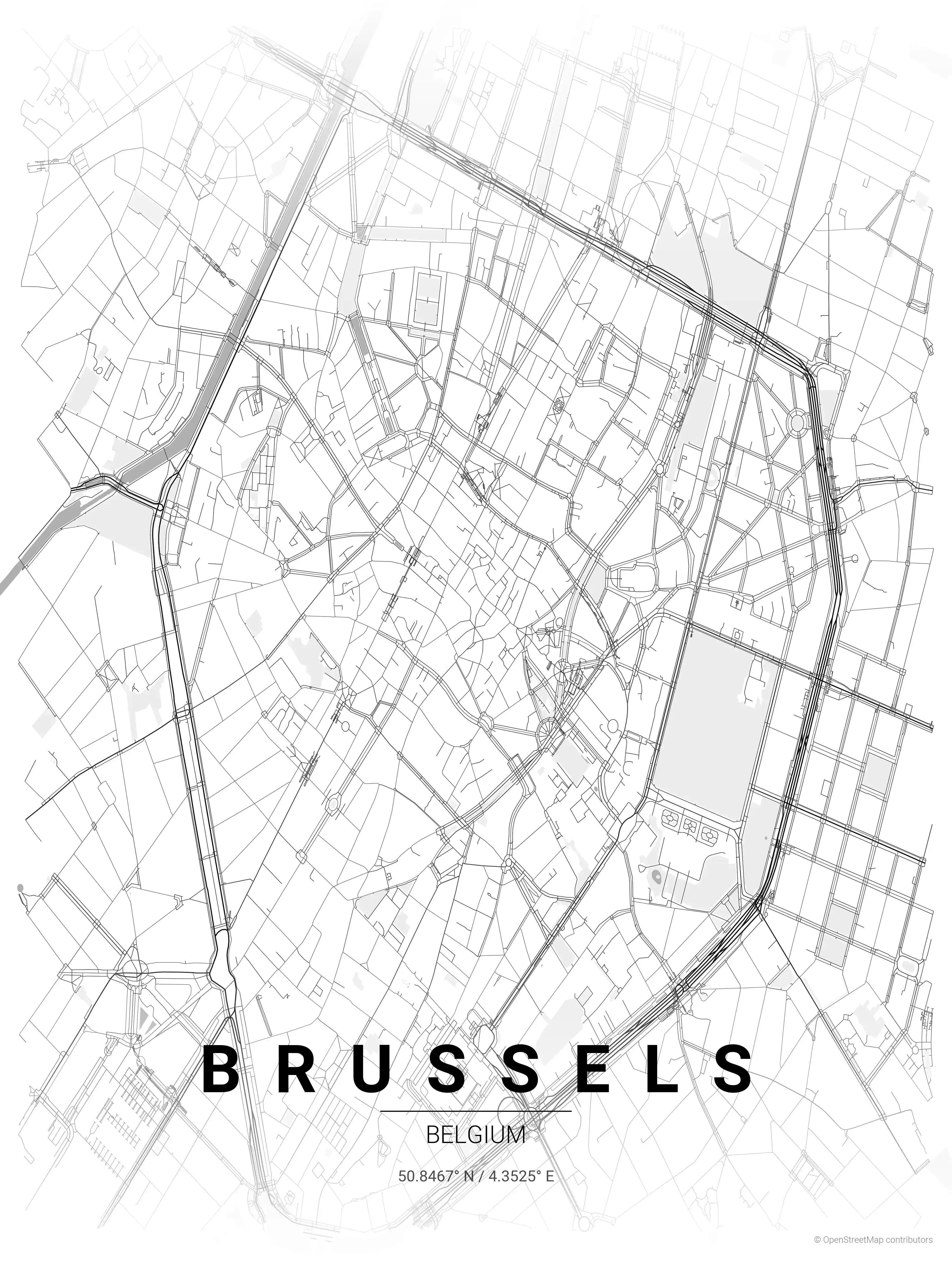
Brussels Map Poster
Adorn your space with our minimalist street map poster of Brussels, Belgium, highlighting the iconic Grand Place and Atomium. Perfect for modern interiors and urban art enthusiasts, this piece captures the city's aesthetic appeal through its detailed street network.