Belgium City Map
Free street map posters of 3 cities
A minimalist map of Belgium and its cities. Explore free, printable street map posters of Antwerp, Brussels, Ghent — each city mapped in 9 artistic themes and available as a high-resolution download.
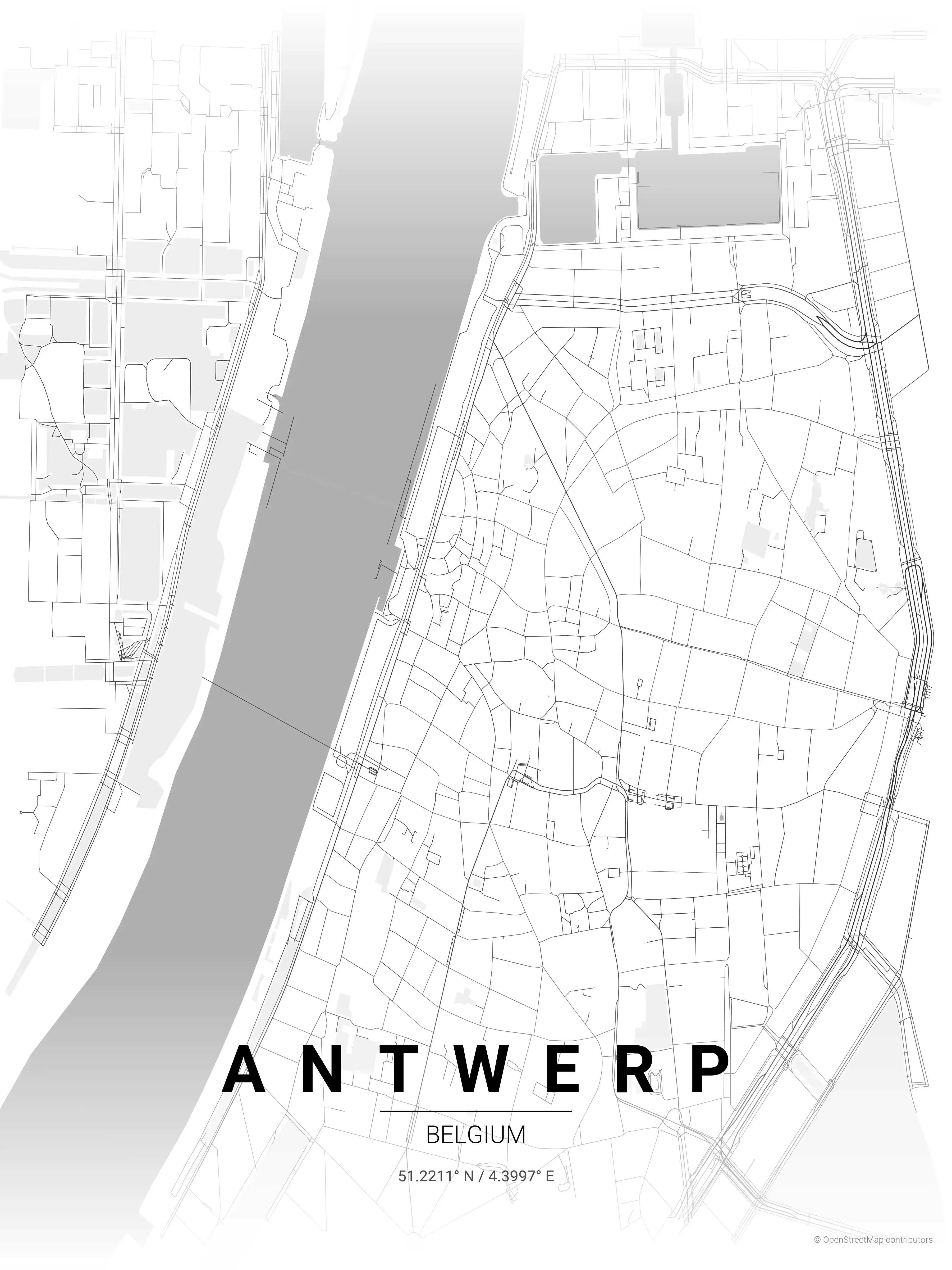
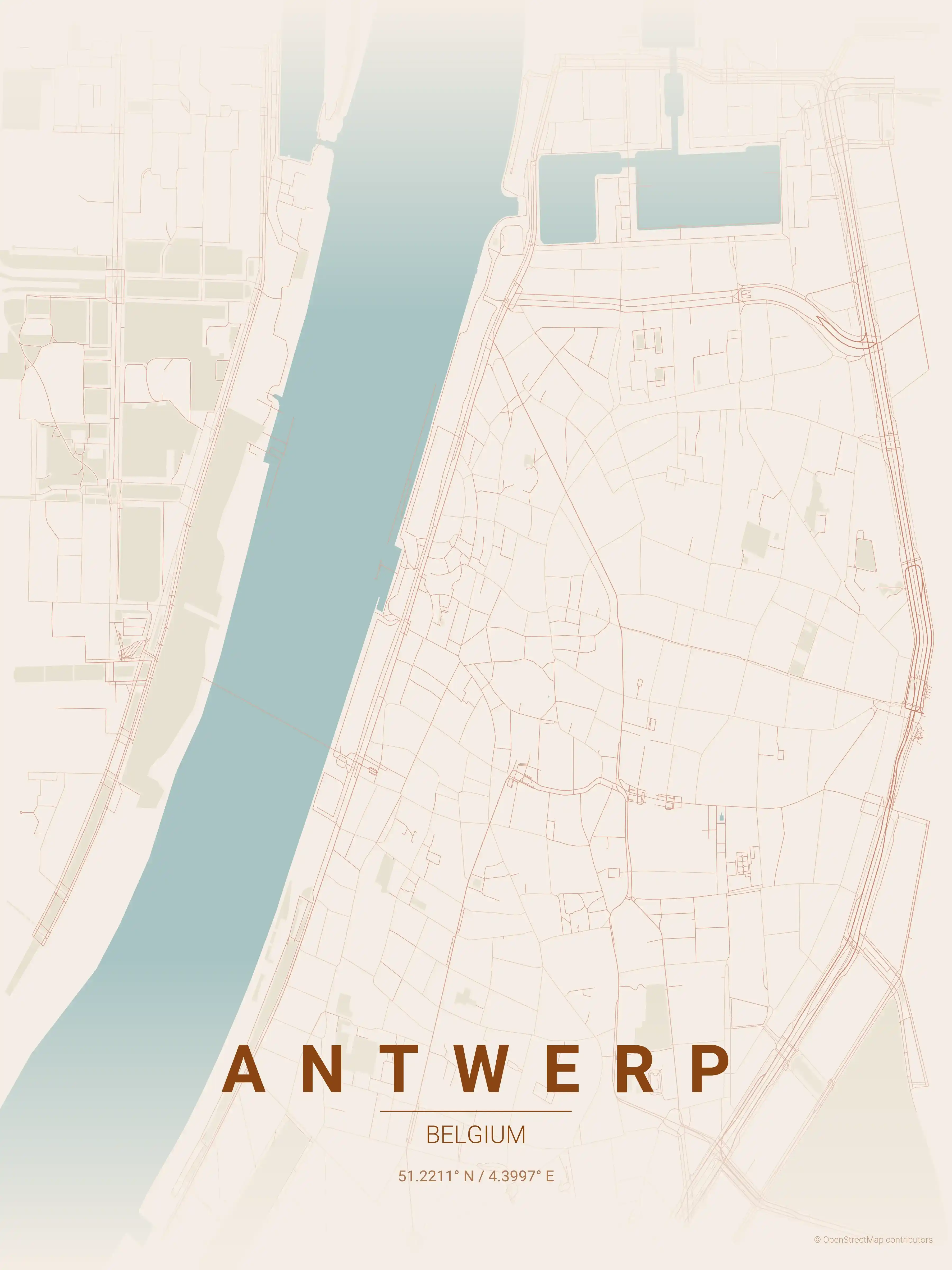
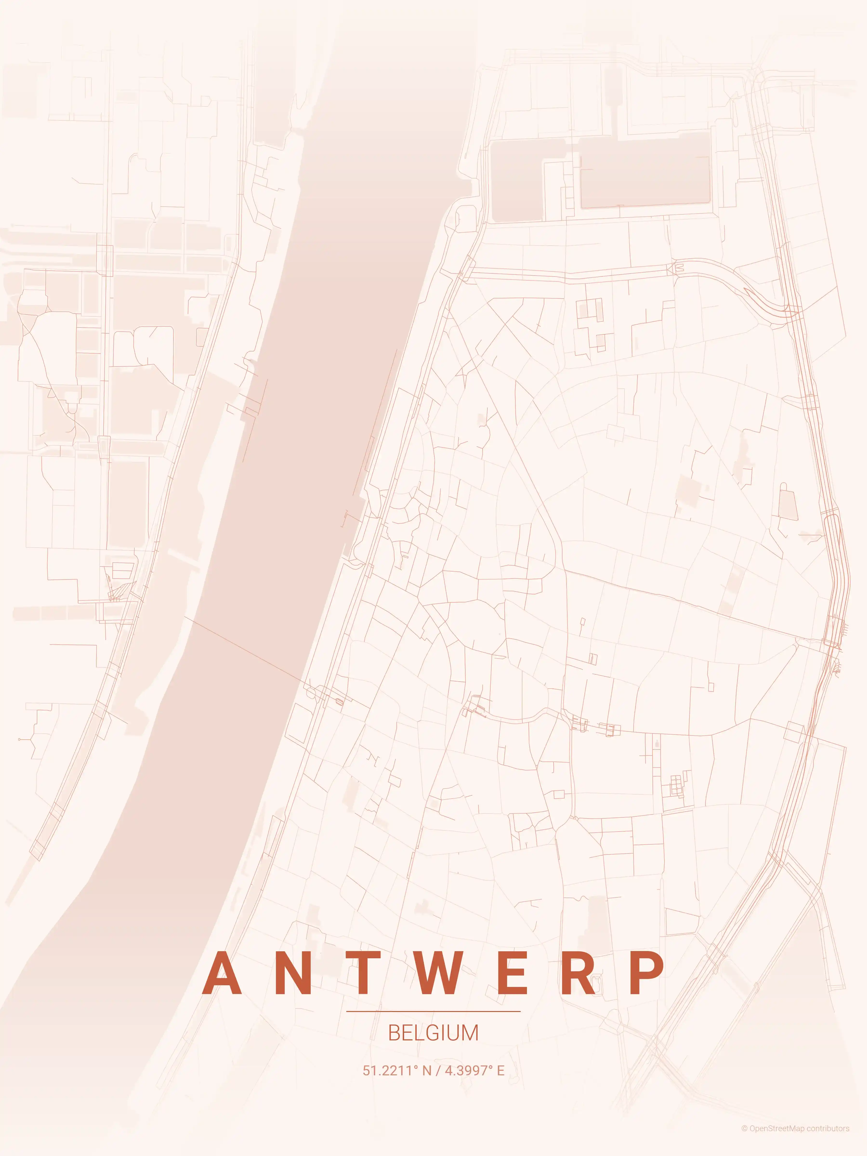
Antwerp Map Poster
Adorn your space with an intricate, minimalist map poster of Antwerp, Belgium. A stylish homage to the city's iconic streets and landmarks, perfect for modern interiors and urban art lovers.
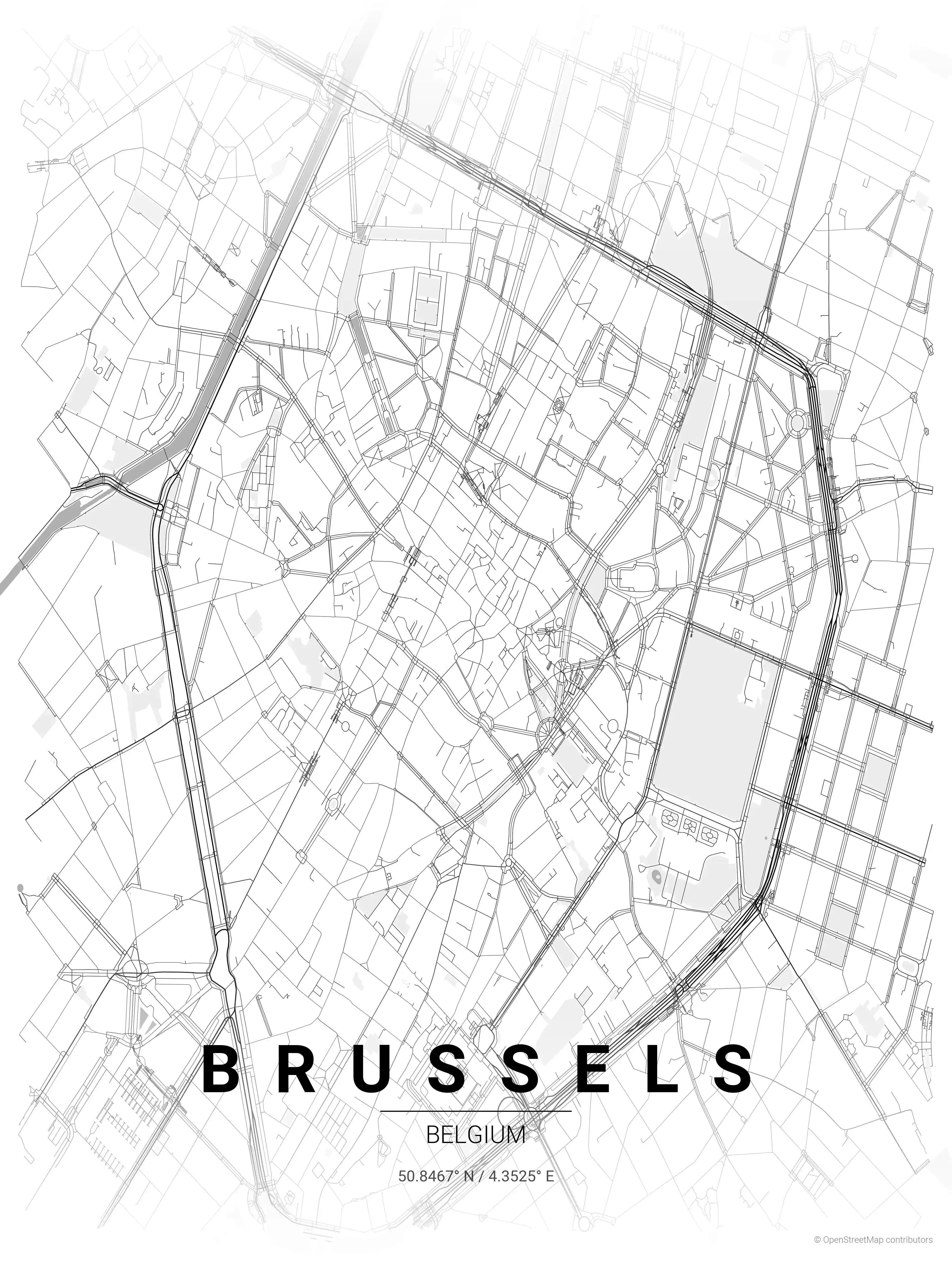
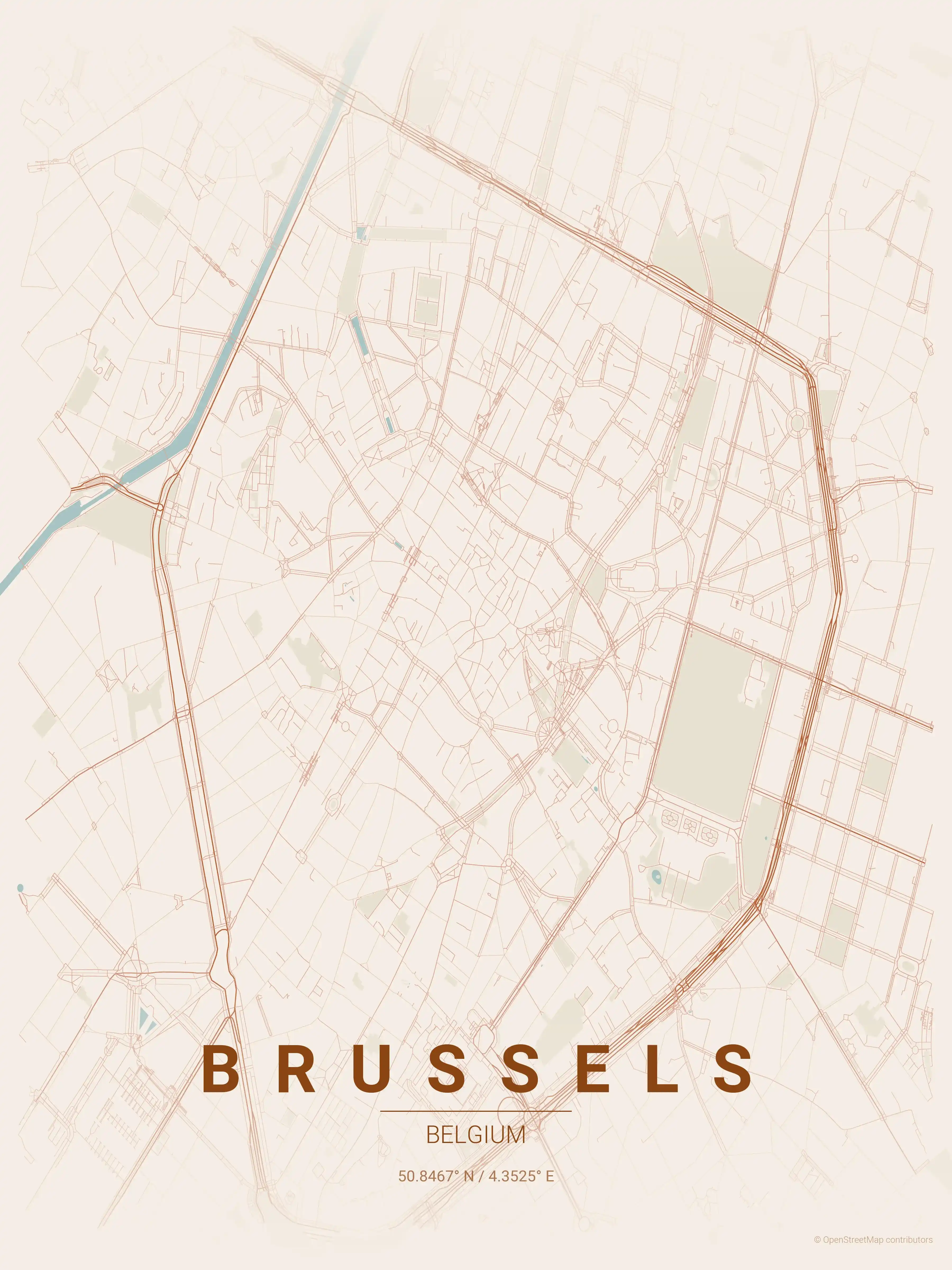
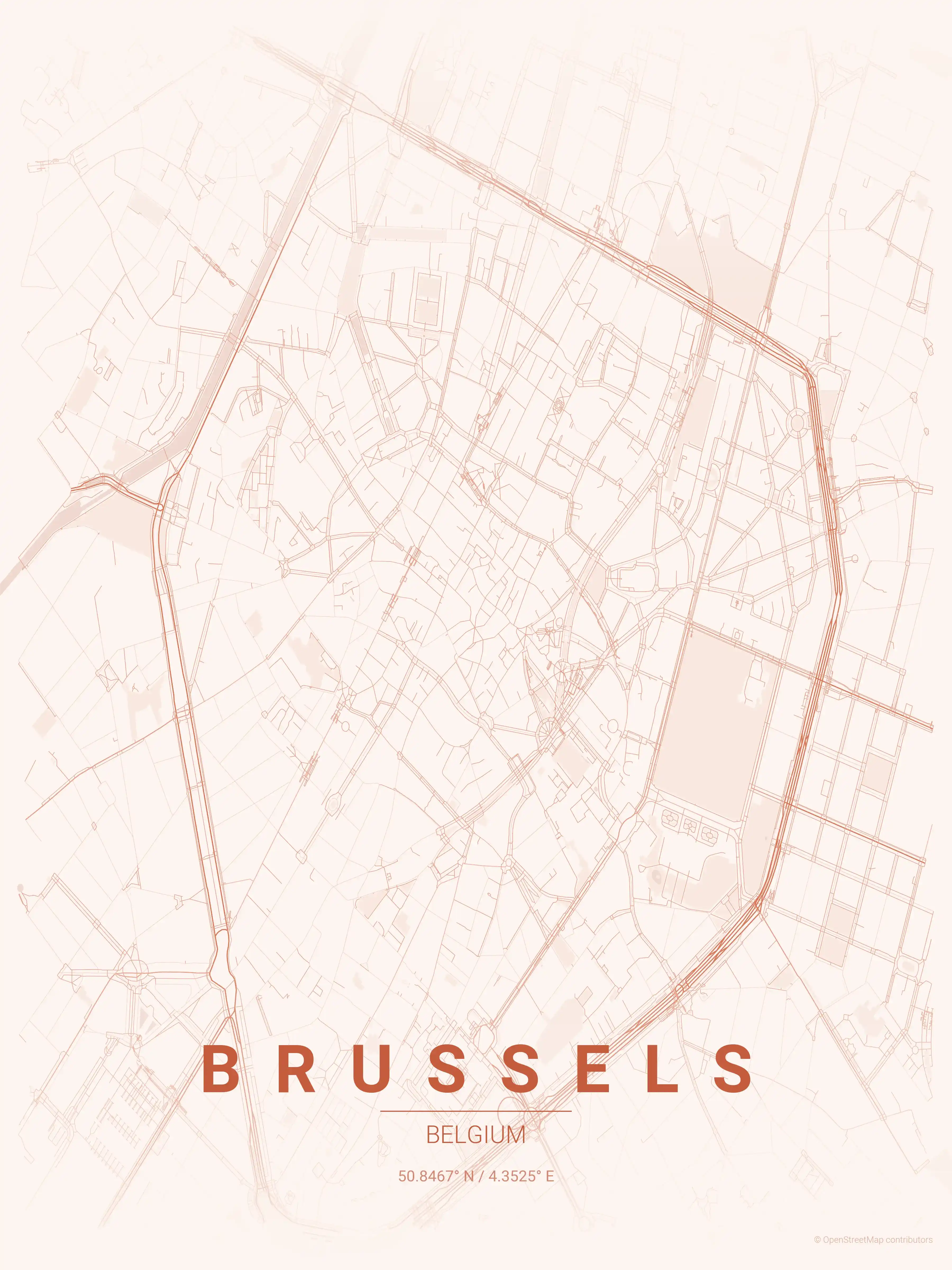
Brussels Map Poster
Adorn your space with our minimalist street map poster of Brussels, Belgium, highlighting the iconic Grand Place and Atomium. Perfect for modern interiors and urban art enthusiasts, this piece captures the city's aesthetic appeal through its detailed street network.
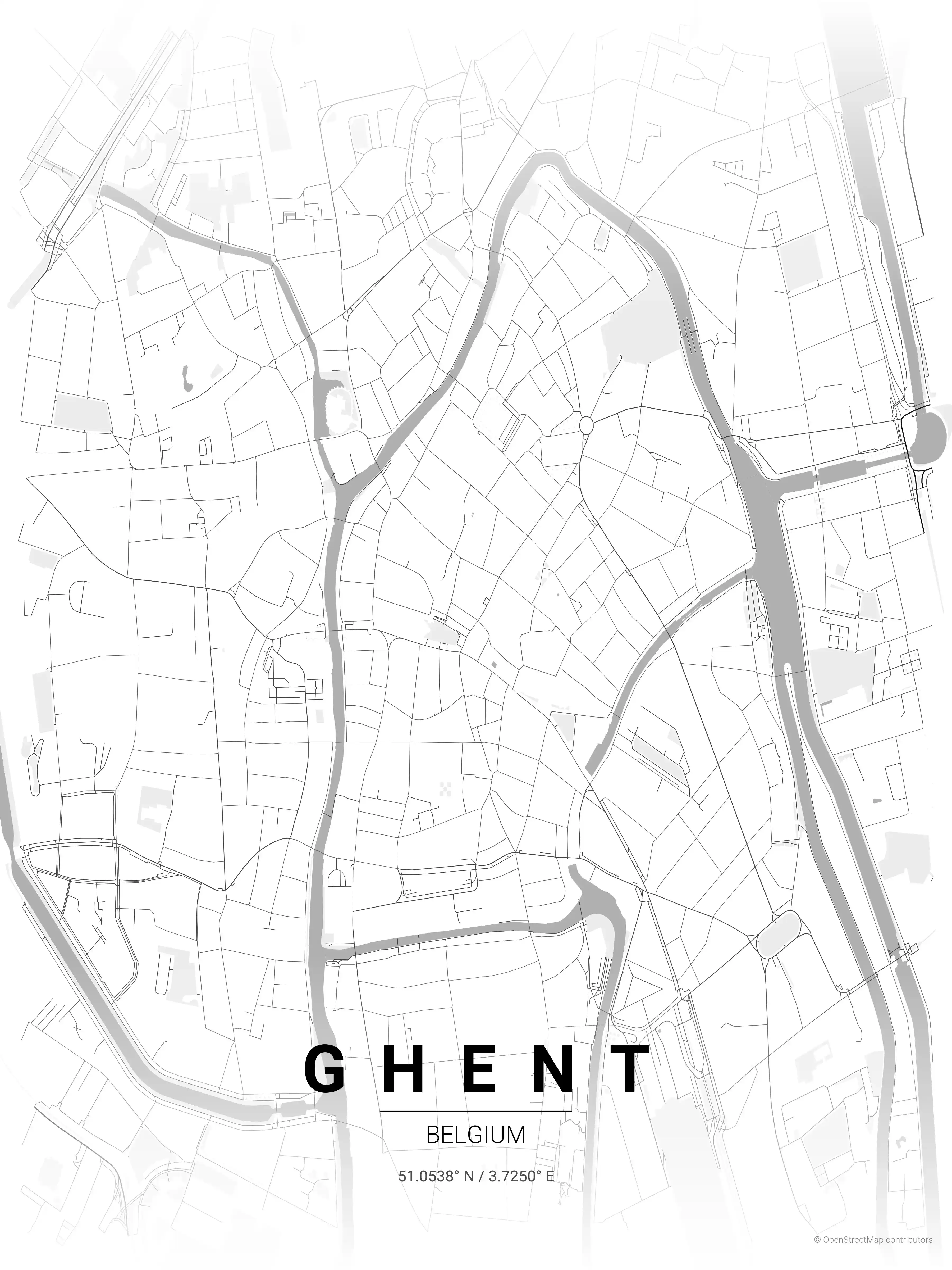
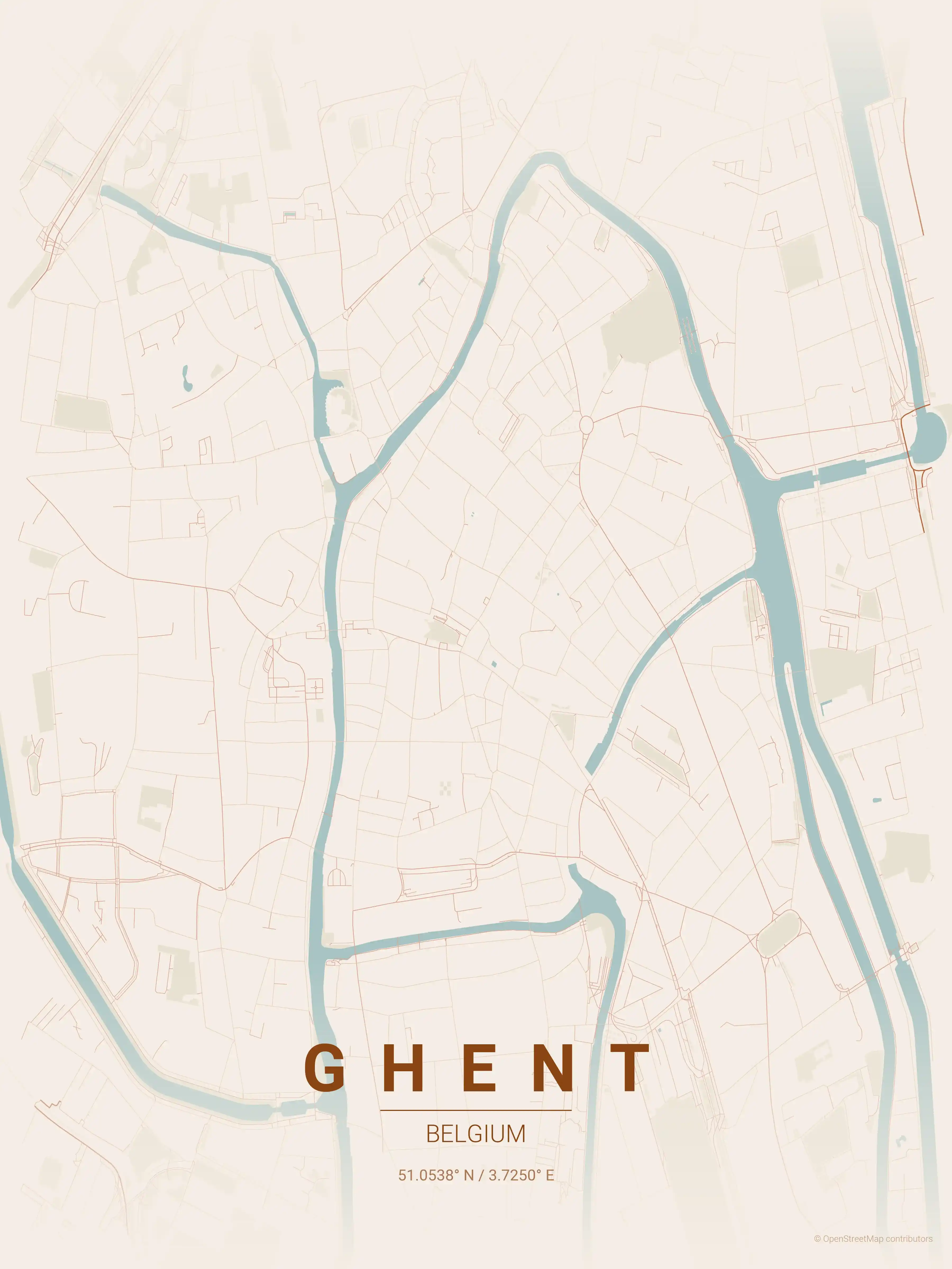
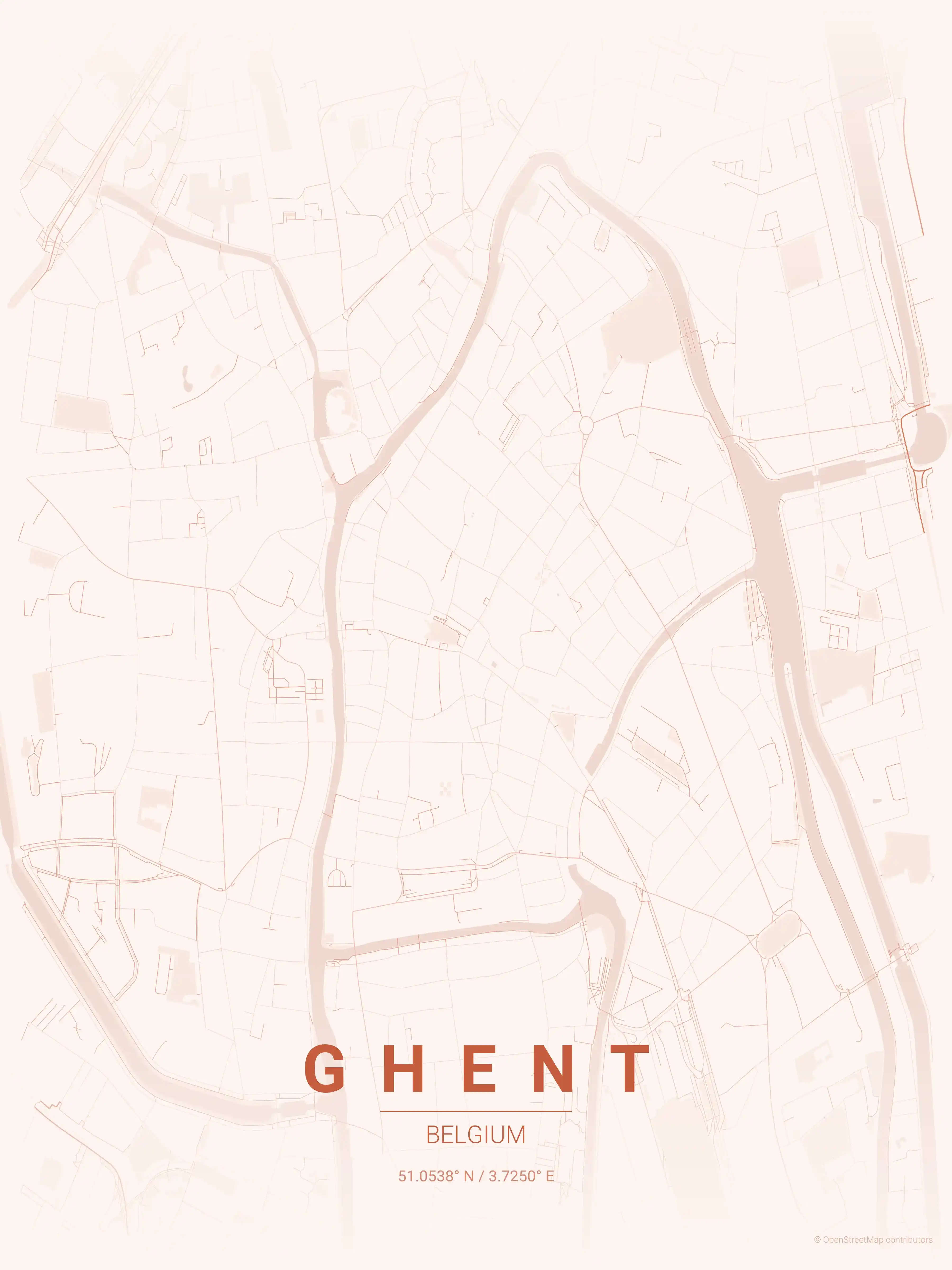
Ghent Map Poster
Discover Ghent's iconic landmarks with this minimalist street map poster. Perfect for urban art enthusiasts and modern interiors, it beautifully captures Ghent's unique urban charm.
About Belgium City Maps
Looking for a Belgium city map to print and frame? This is the place to start. Each poster is a minimalist street map of a Belgian city, drawn from real road and waterway data and offered as a free, high-resolution download ready for the wall.
Belgium packs an extraordinary density of urban character into a small footprint. Brussels’ pentagon of boulevards spirals out from the gilded Grand Place; Antwerp grew inland from the broad sweep of the River Scheldt; and Ghent threads its medieval core around the River Lys. Set side by side, the three plans show how differently a capital, a port, and a canal city organise their streets.
Browse free street maps of three Belgium cities: Brussels, Antwerp and Ghent. Every city map comes in 9 artistic themes, from clean blueprint linework to warm terracotta tones, so you can match a poster to any room.
The street networks reward a closer look. Grand places ringed by radiating avenues, organic waterway-defined blocks, and the dense knot of a preserved old town all read clearly at a glance, which is what makes these printable maps work as graphic wall art rather than just navigation.
All files are free to download at high resolution and built for crisp printing at large sizes. If you are mapping the wider region, the neighbouring Netherlands city maps and France city maps round out a Low Countries gallery for any Europhile or homesick expat.
More Europe City Maps
Explore More Cities
Discover map posters from cities across Europe in our complete collection.