United Kingdom City Map
Free street map posters of 5 cities
A minimalist map of United Kingdom and its cities. Explore free, printable street map posters of Birmingham, Edinburgh, Glasgow, London and more — each city mapped in 9 artistic themes and available as a high-resolution download.
Cities of United Kingdom on the map: Birmingham, Edinburgh, Glasgow, London, Manchester.
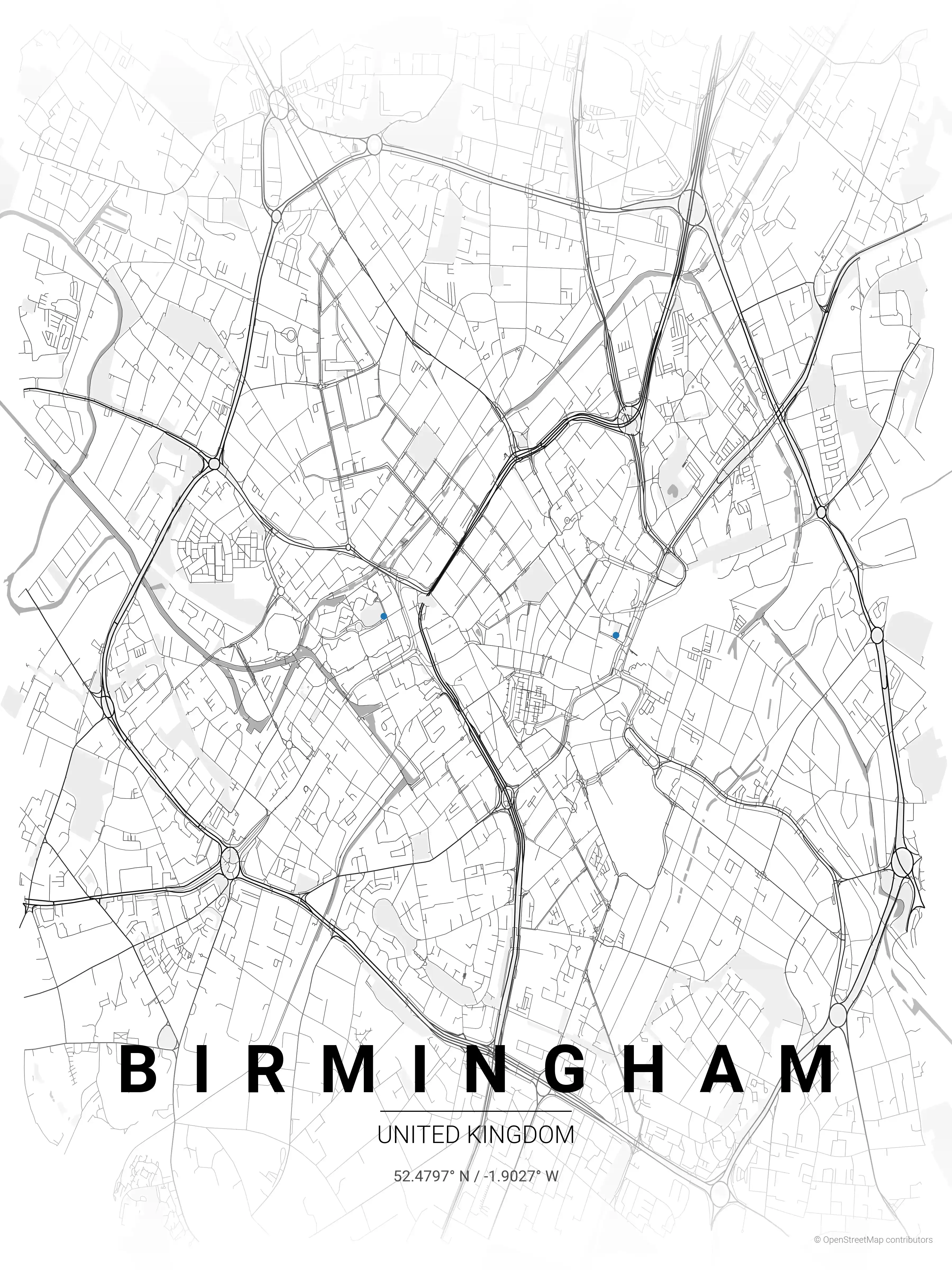
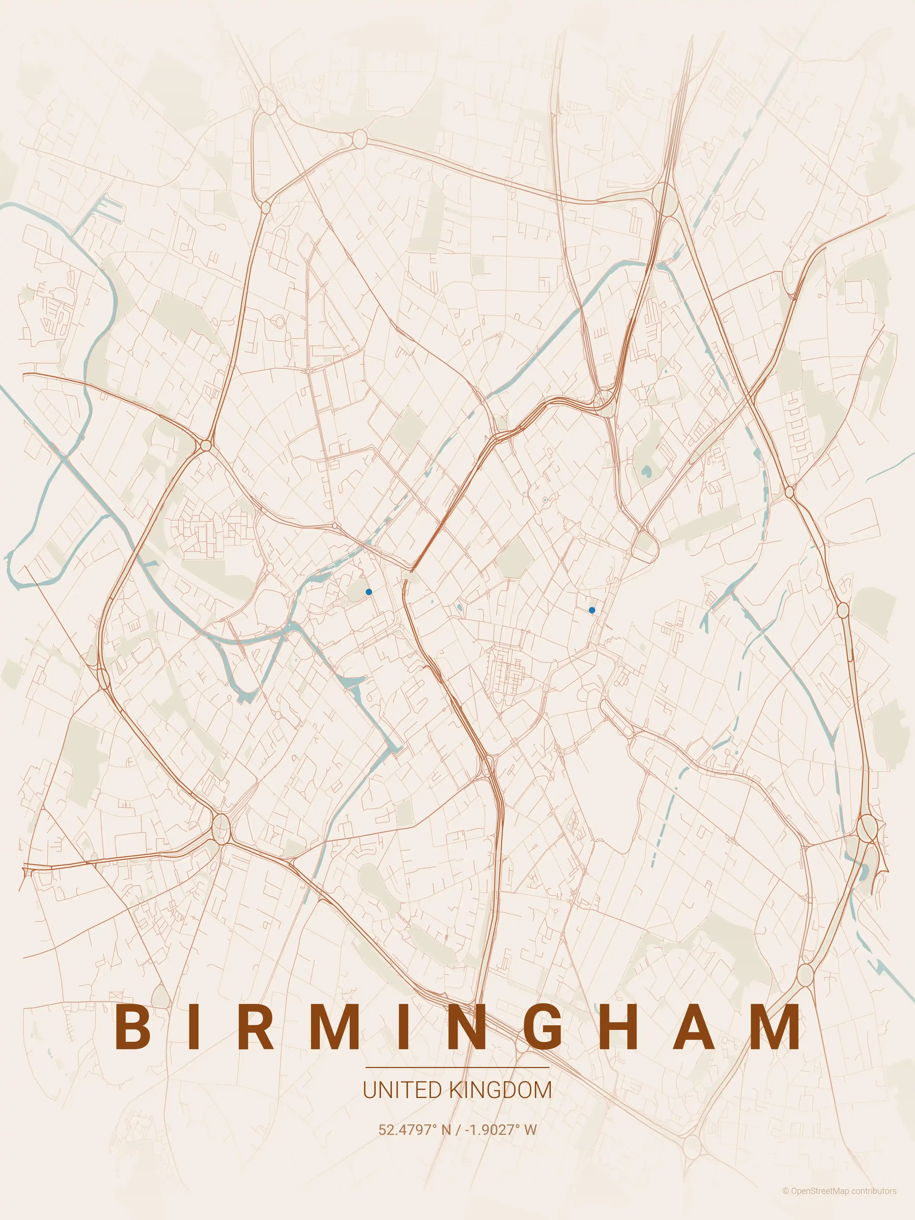
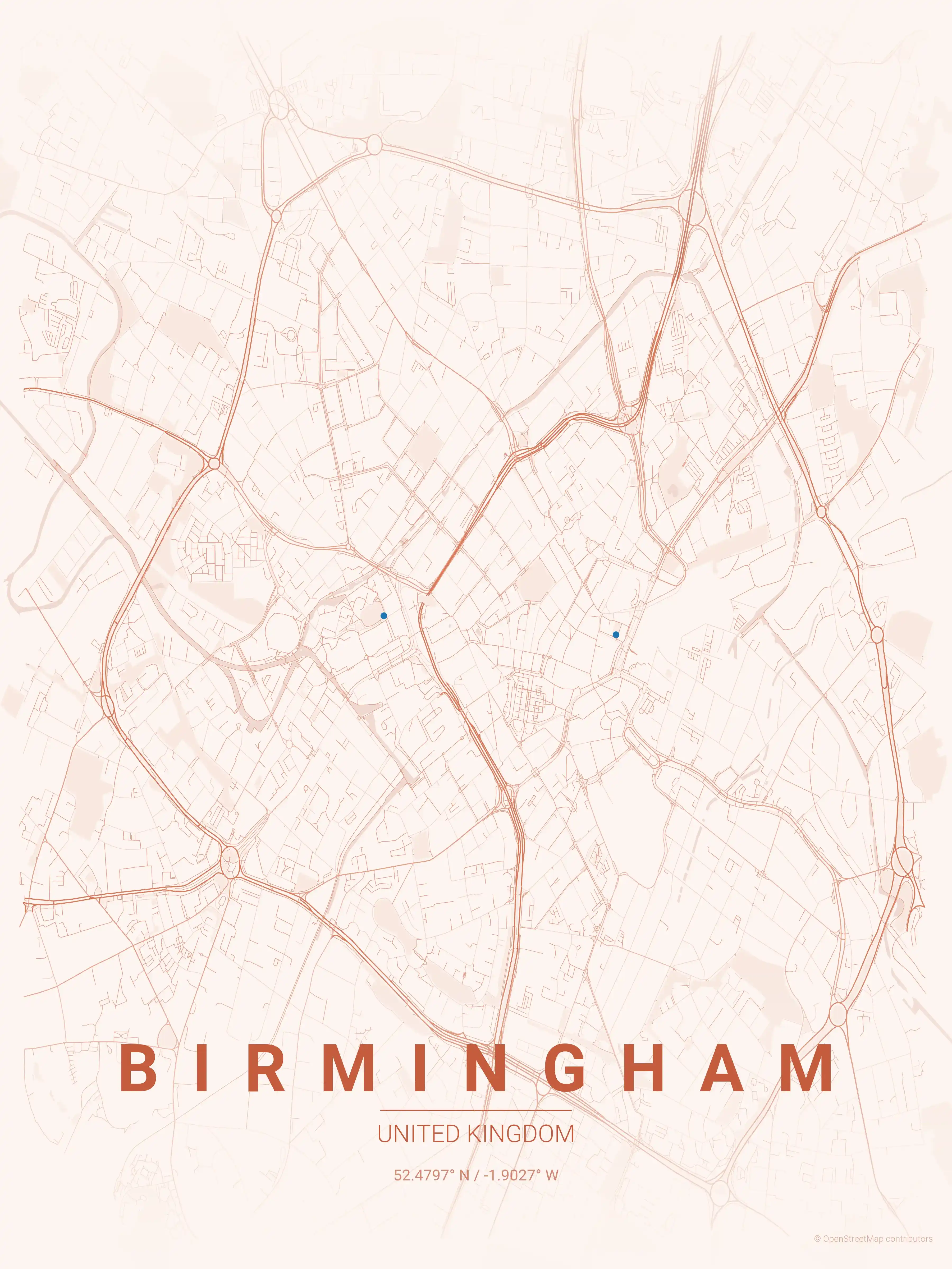
Birmingham Map Poster
Free printable Birmingham street map poster (United Kingdom). High-resolution minimalist city map of the canals, the Jewellery Quarter and Digbeth. Instant download, no signup.
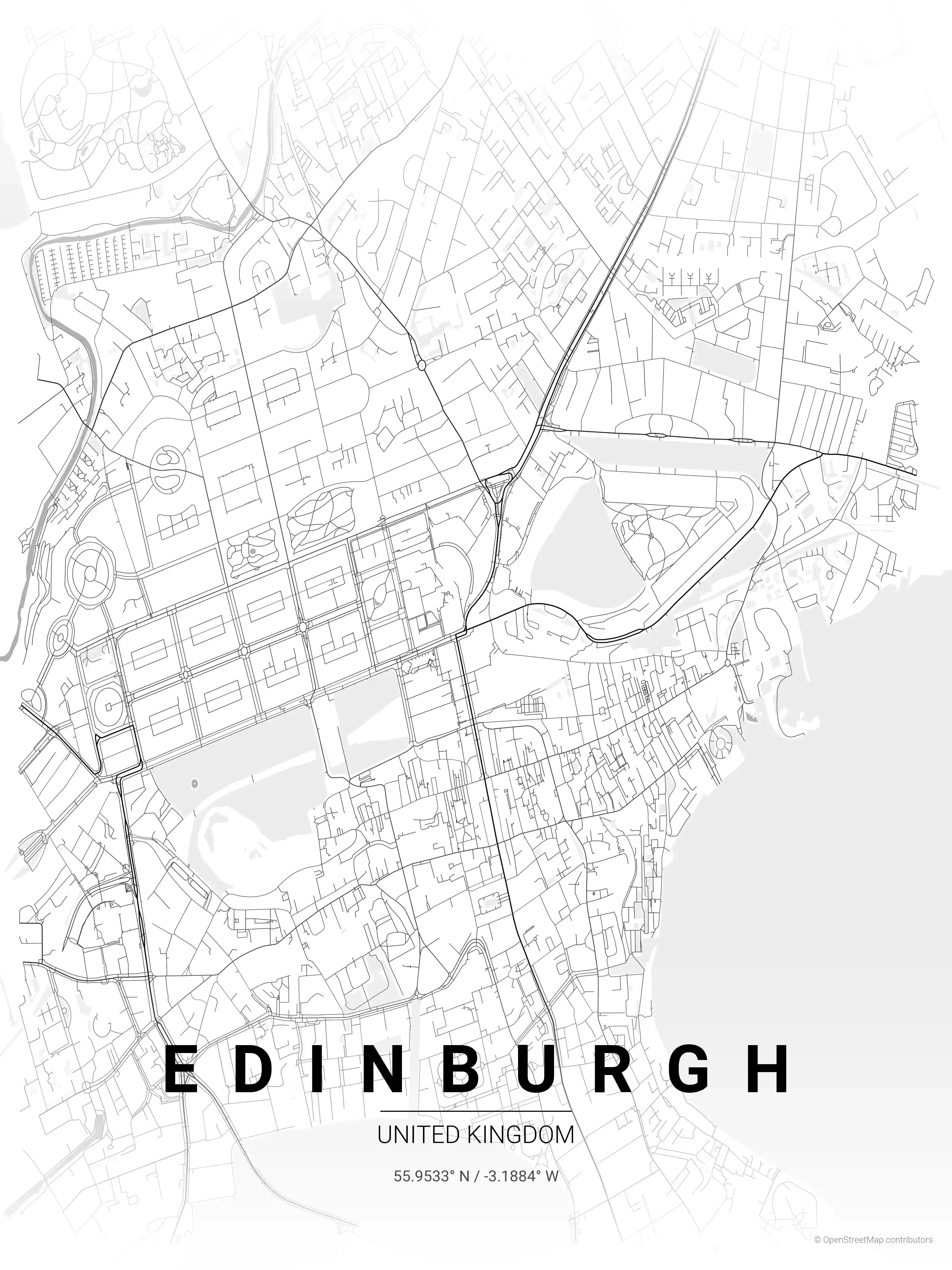
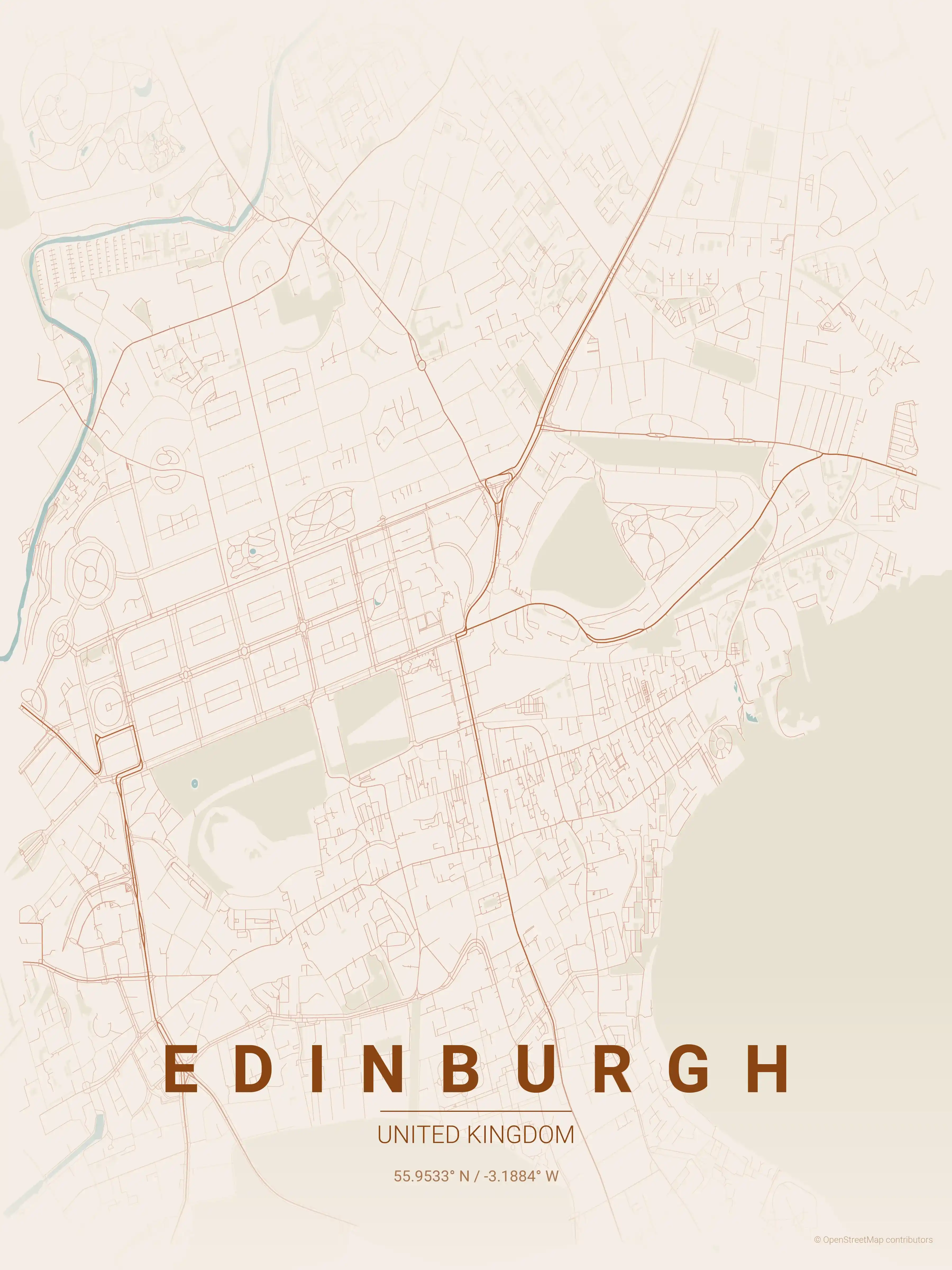
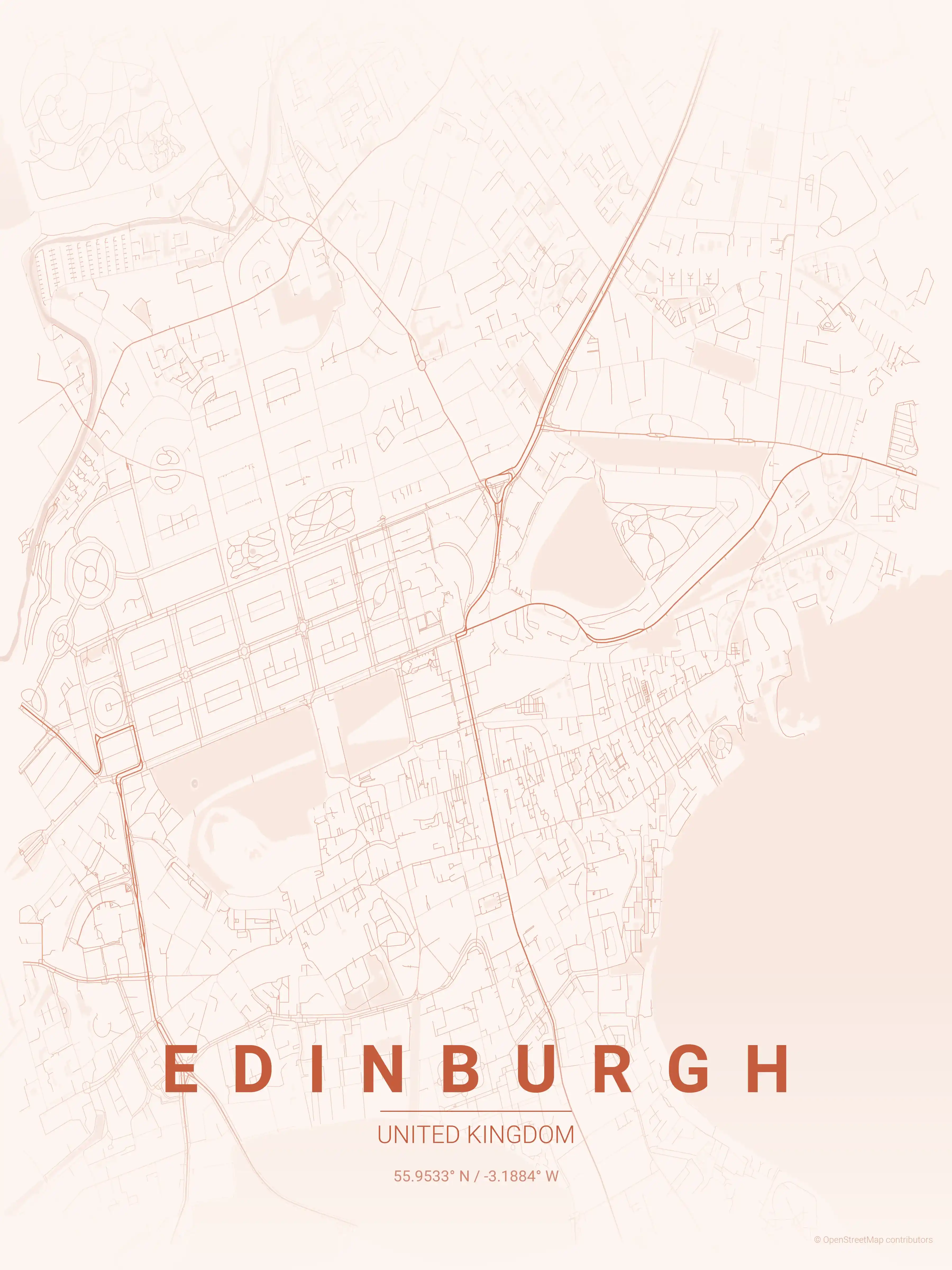
Edinburgh Map Poster
Free printable Edinburgh street map poster (United Kingdom). High-resolution minimalist city map of the Old Town, the New Town and the Royal Mile. Instant download, no signup.
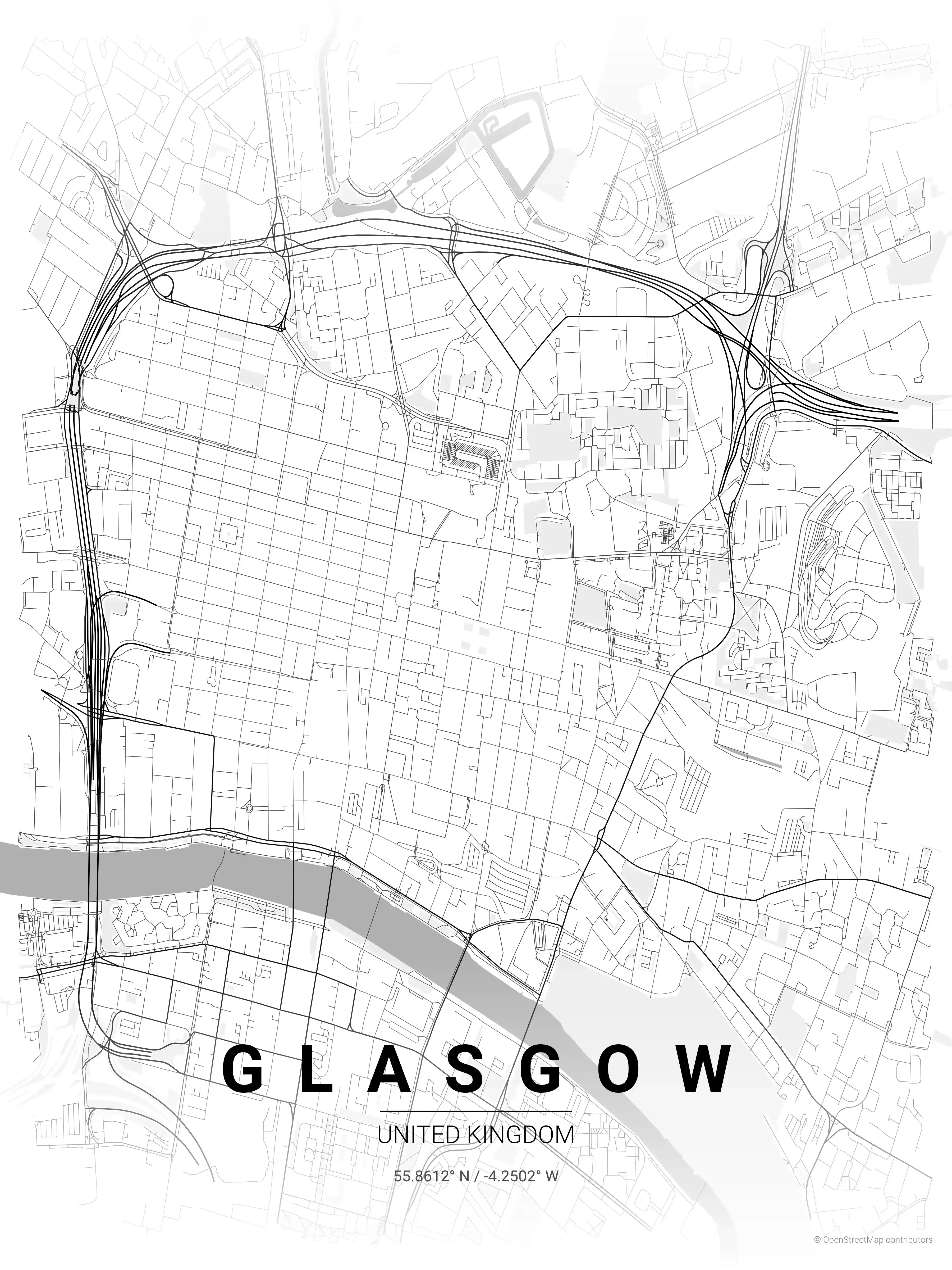
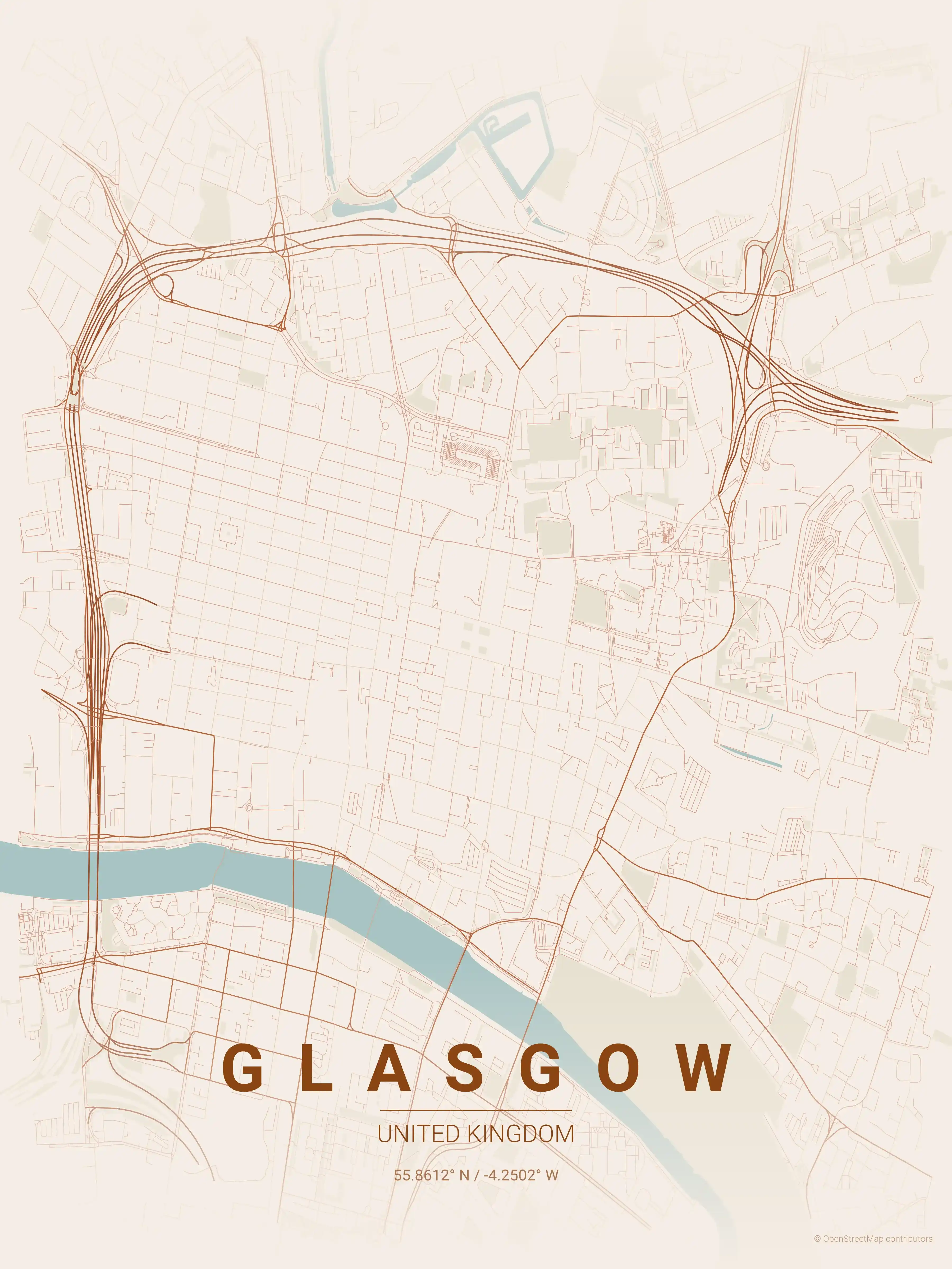
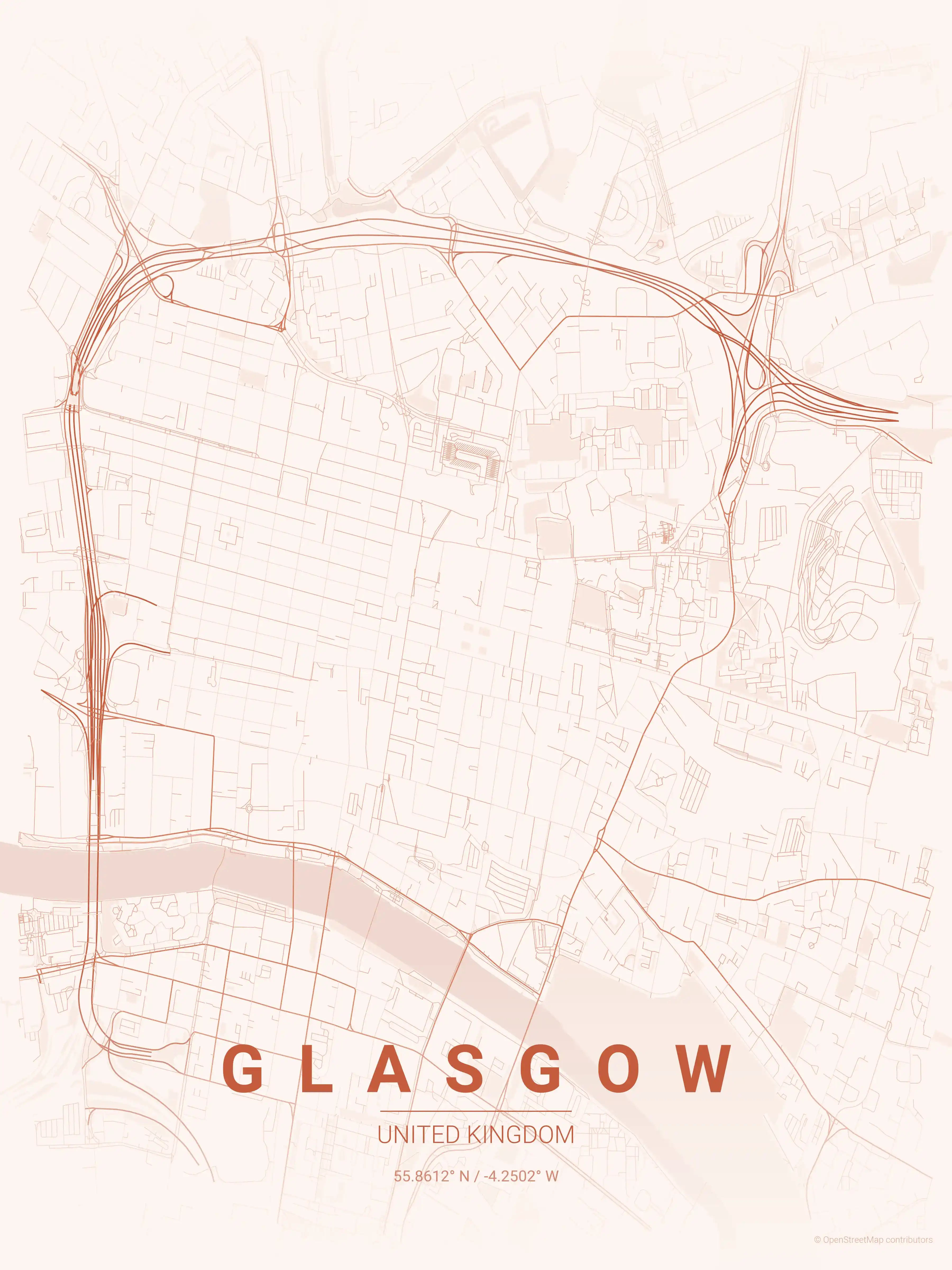
Glasgow Map Poster
Free printable Glasgow street map poster (United Kingdom). High-resolution minimalist city map of the Merchant City, the West End and the River Clyde. Instant download, no signup.
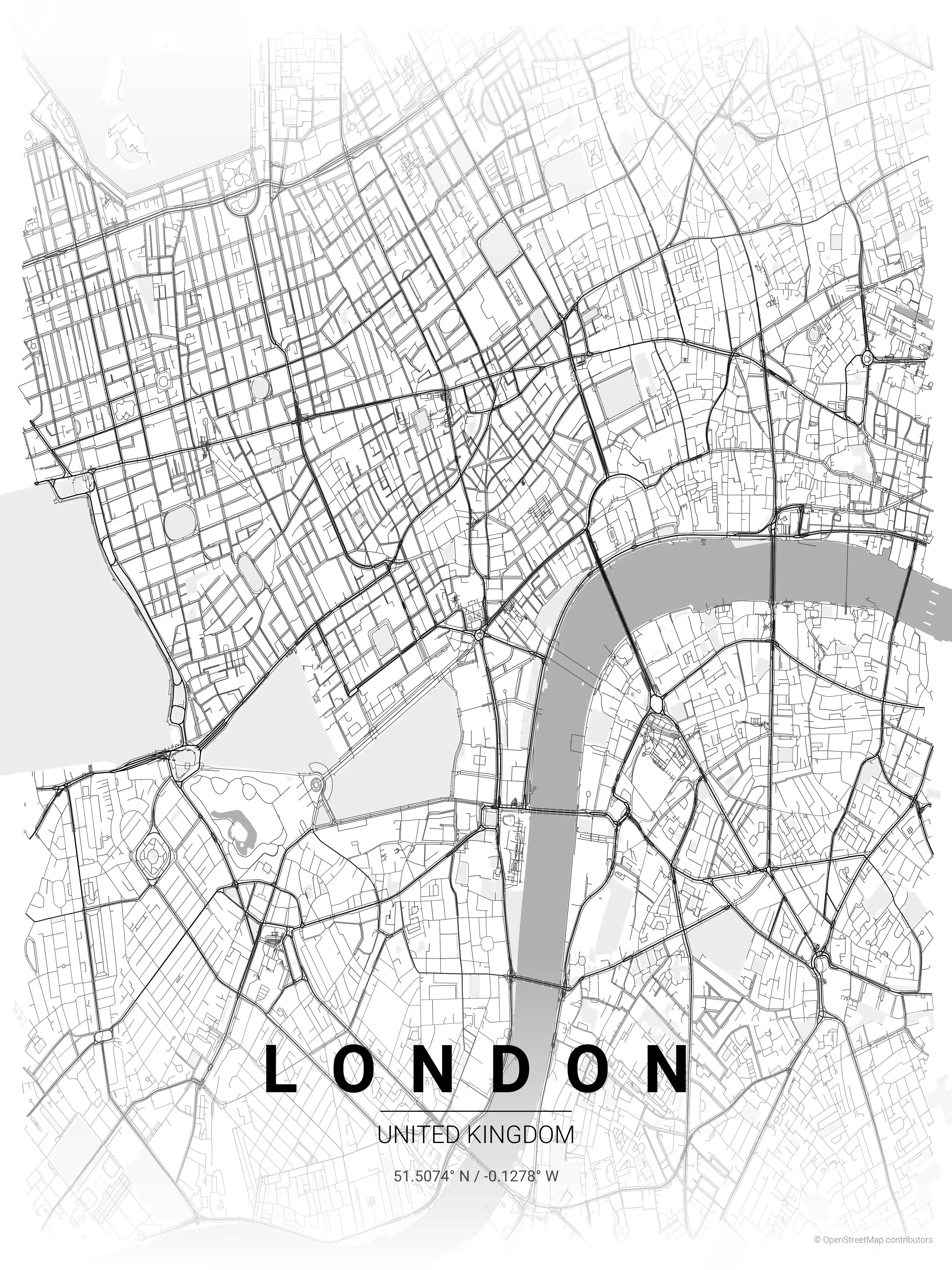
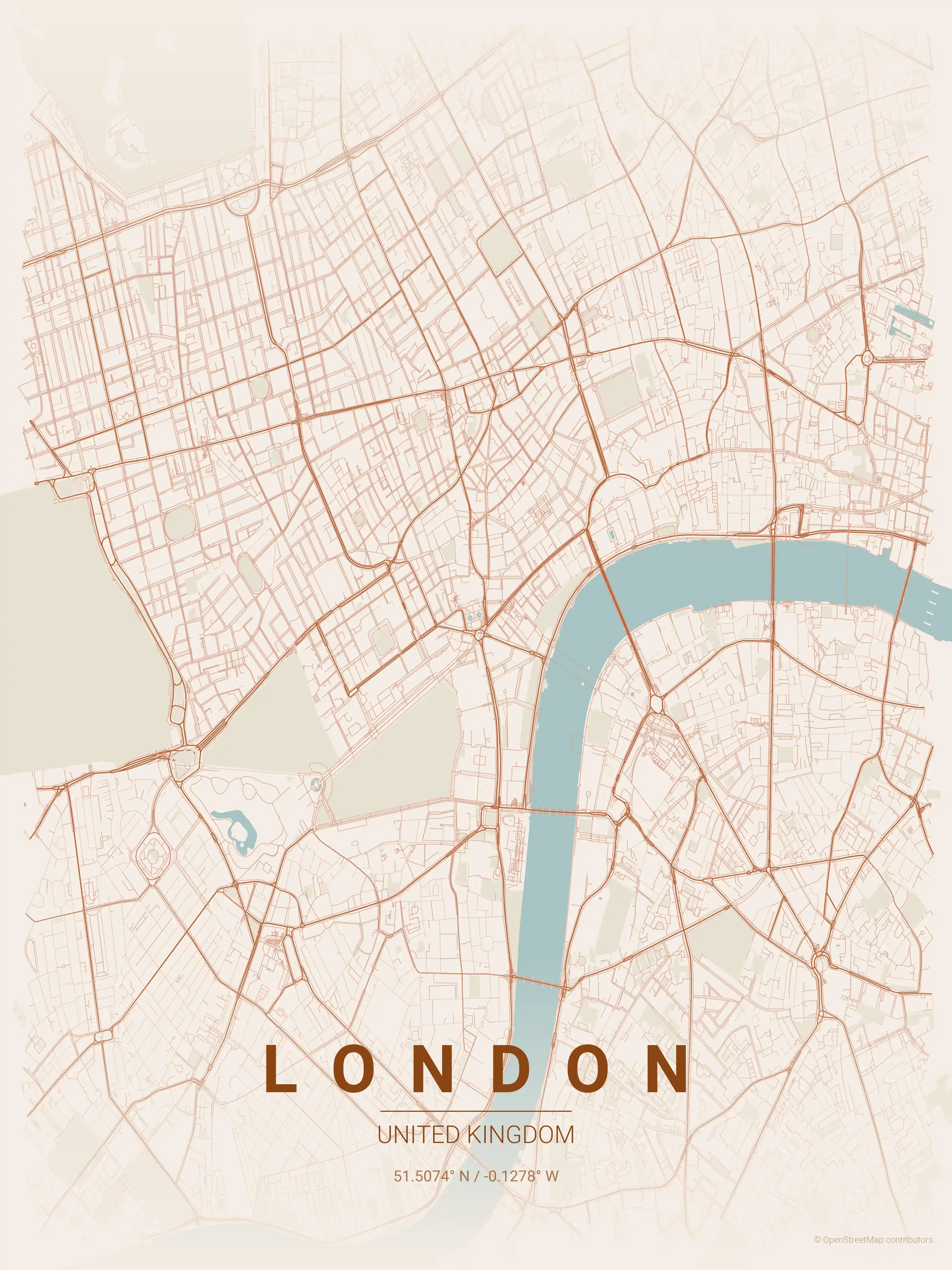
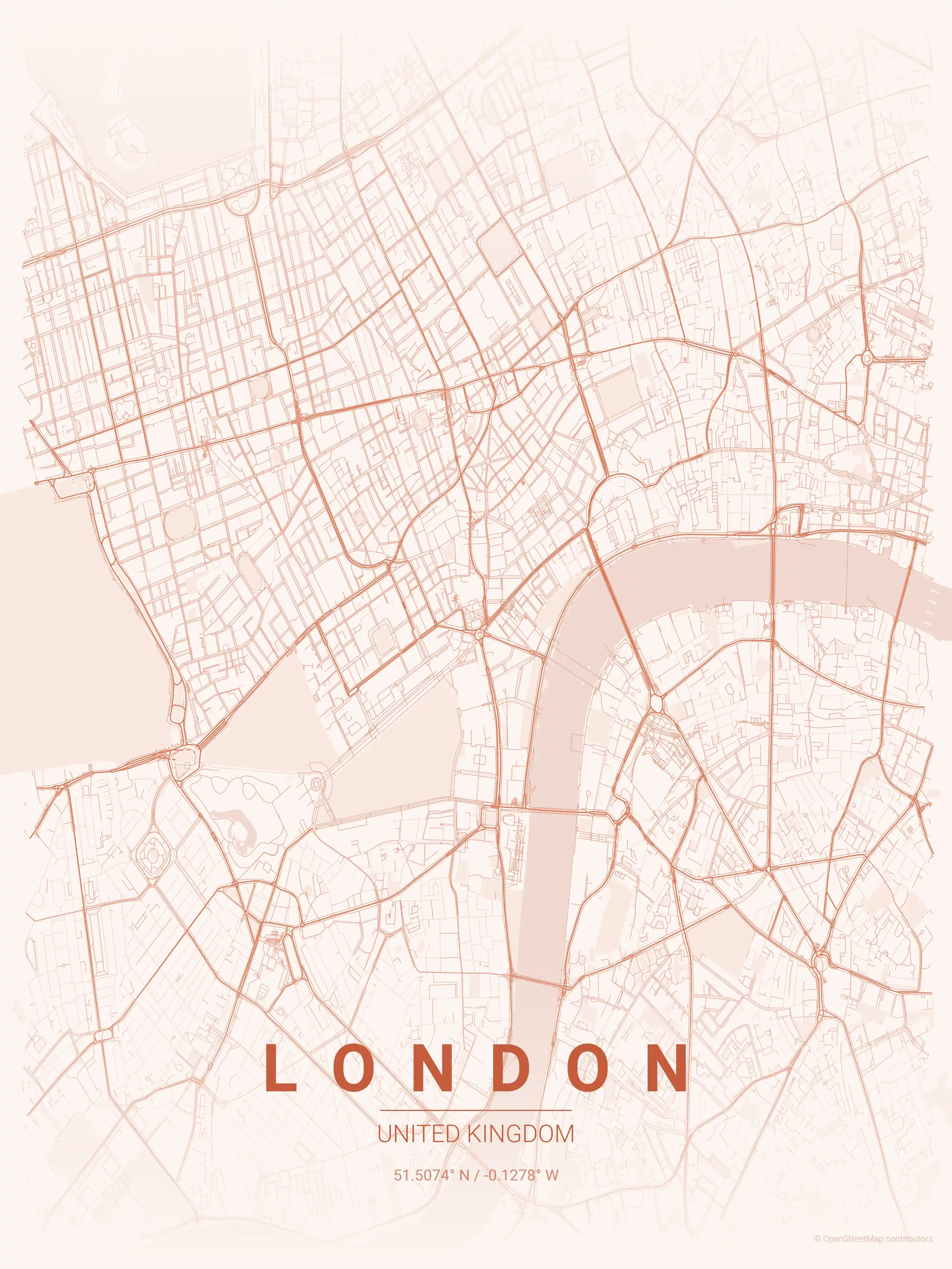
London Map Poster
Free printable London street map poster (United Kingdom). High-resolution minimalist city map showing the Thames, the City and the West End. Instant download, no signup.
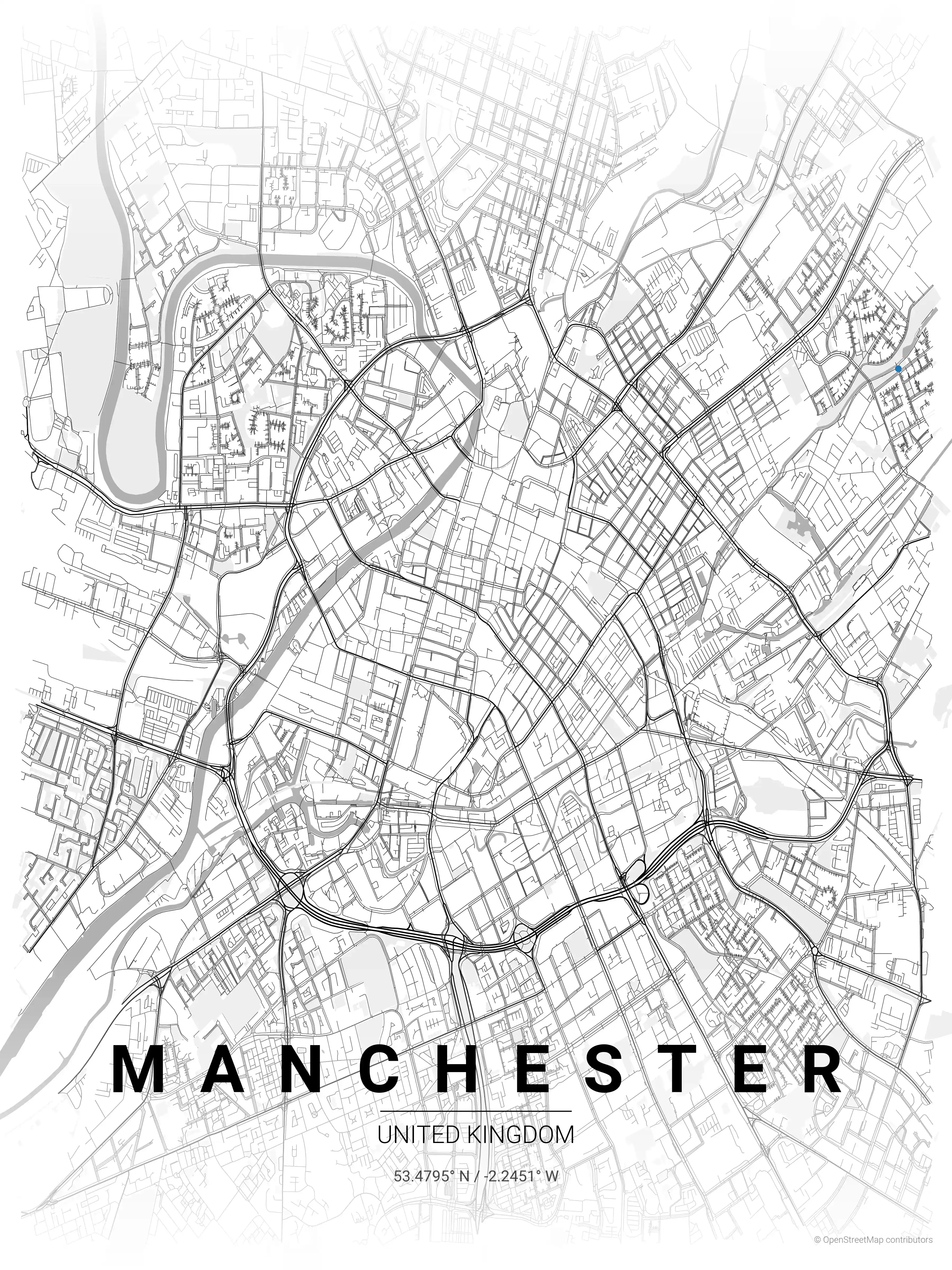
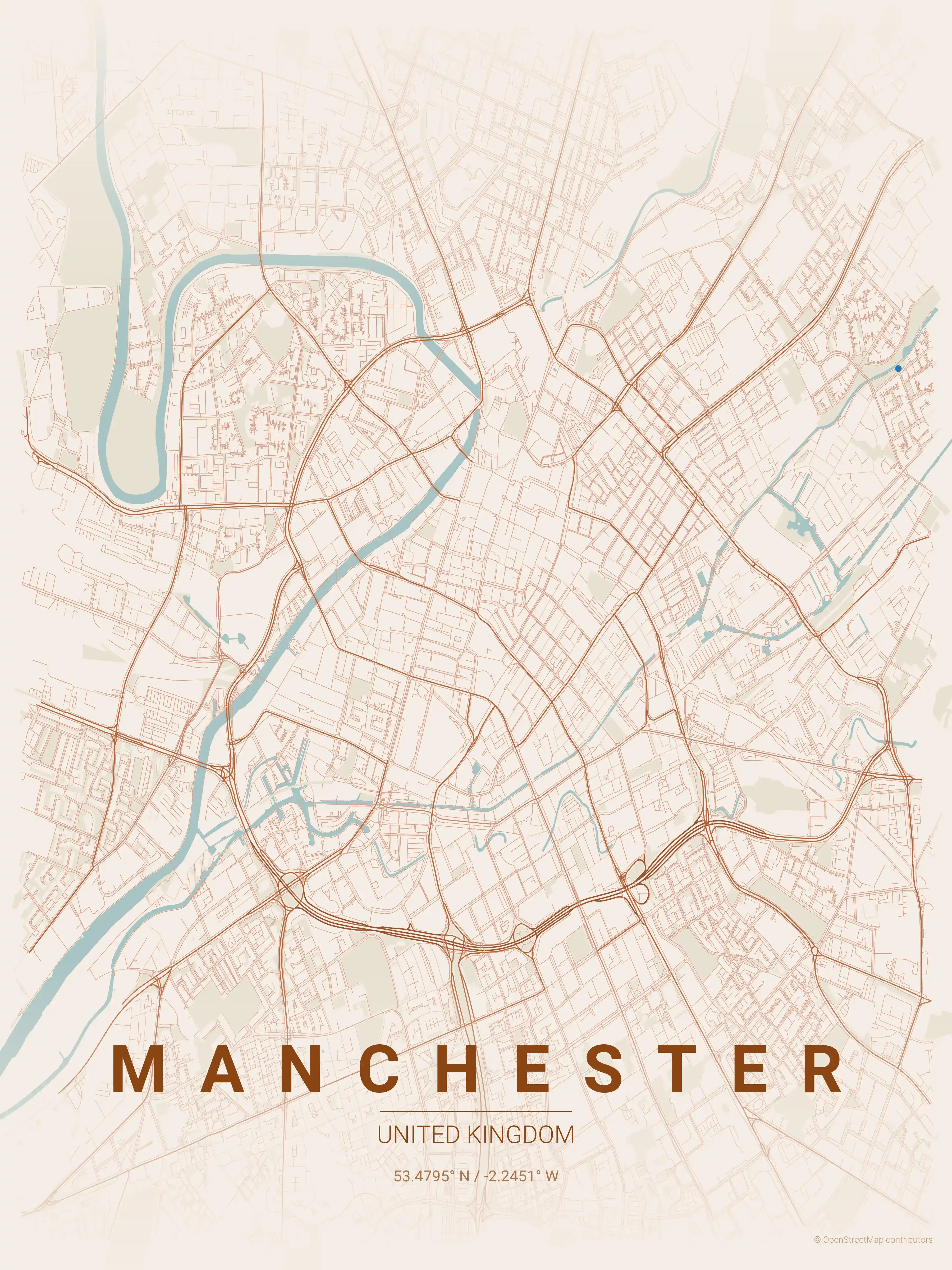
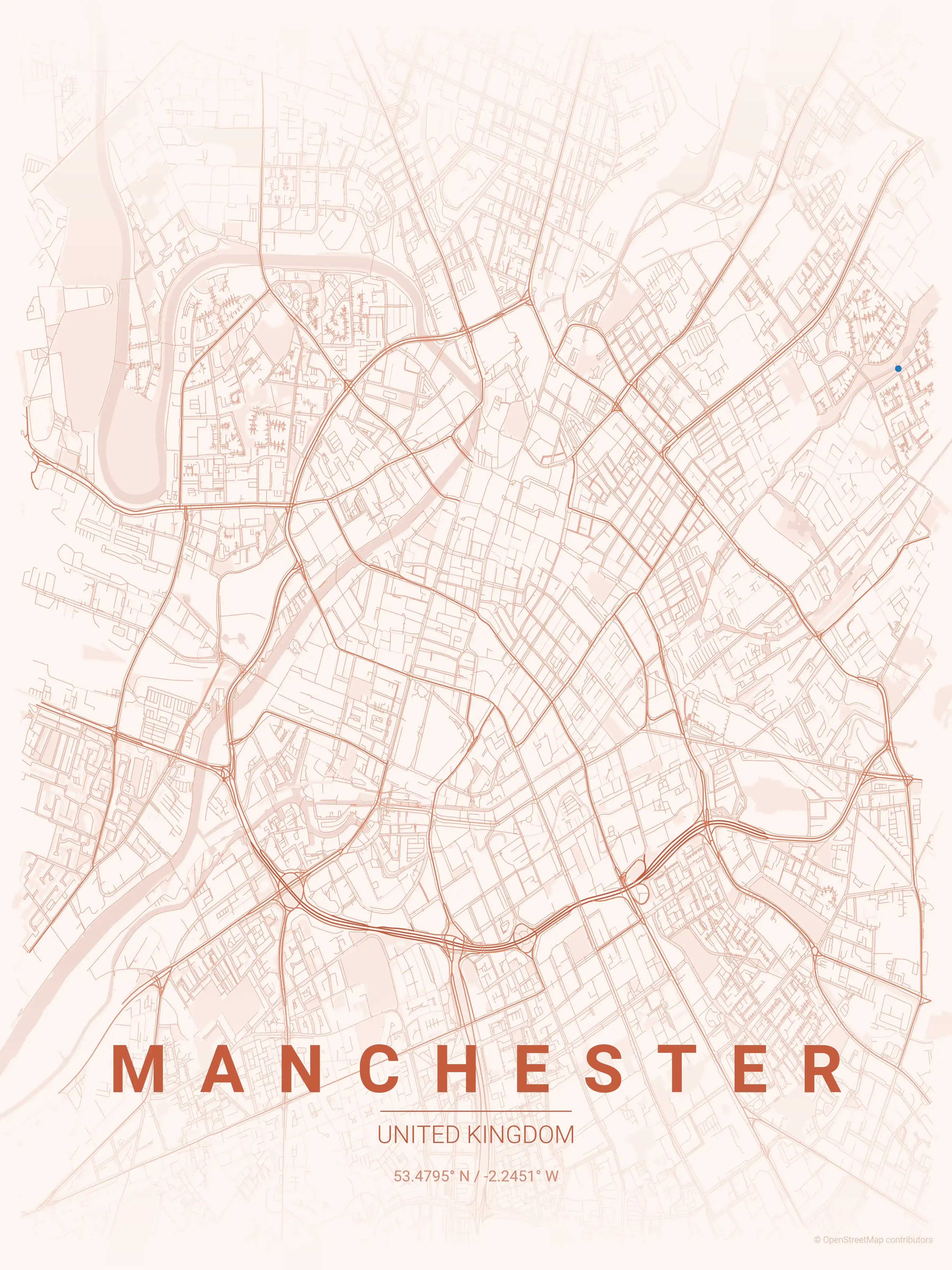
Manchester Map Poster
Free printable Manchester street map poster (United Kingdom). High-resolution minimalist city map of the Northern Quarter, Castlefield and the canals. Instant download, no signup.
About United Kingdom City Maps
Looking for a United Kingdom city map to print and frame? This collection gathers free, high-resolution street map posters of the country’s most distinctive cities, each rendered as clean minimalist line art. British cities trace nearly two thousand years of continuous building, so every street map reads like a record of how the place actually grew rather than a planner’s neat grid.
Browse free printable street maps of 5 United Kingdom cities: London, Edinburgh, Glasgow, Manchester and Birmingham. London’s map layers Roman walls, medieval lanes around the City, Georgian squares and Victorian terraces, all wrapped around the curving Thames. Edinburgh contrasts the cramped medieval closes of the Old Town with the rational Georgian grid of the New Town, split by the green ribbon of Princes Street Gardens.
The northern and Midlands cities tell the industrial story. Glasgow’s tight Victorian grid and the River Clyde dominate its city map, while Manchester radiates from its compact centre along the canals and the Northern Quarter. Birmingham’s canal network and ring roads make for one of the busiest, most tangled street maps in the country.
Each poster is a free download at print resolution, available in several colour themes so it can sit comfortably as wall art in a hallway, study or living room. Lead with the map and the decor follows.
Exploring the rest of Europe? See our Ireland city maps and France city maps for more printable street map posters in the same minimalist style.
More Europe City Maps
Explore More Cities
Discover map posters from cities across Europe in our complete collection.