Ireland City Map
Free street map posters of 2 cities
A minimalist map of Ireland and its cities. Explore free, printable street map posters of Cork, Dublin — each city mapped in 9 artistic themes and available as a high-resolution download.
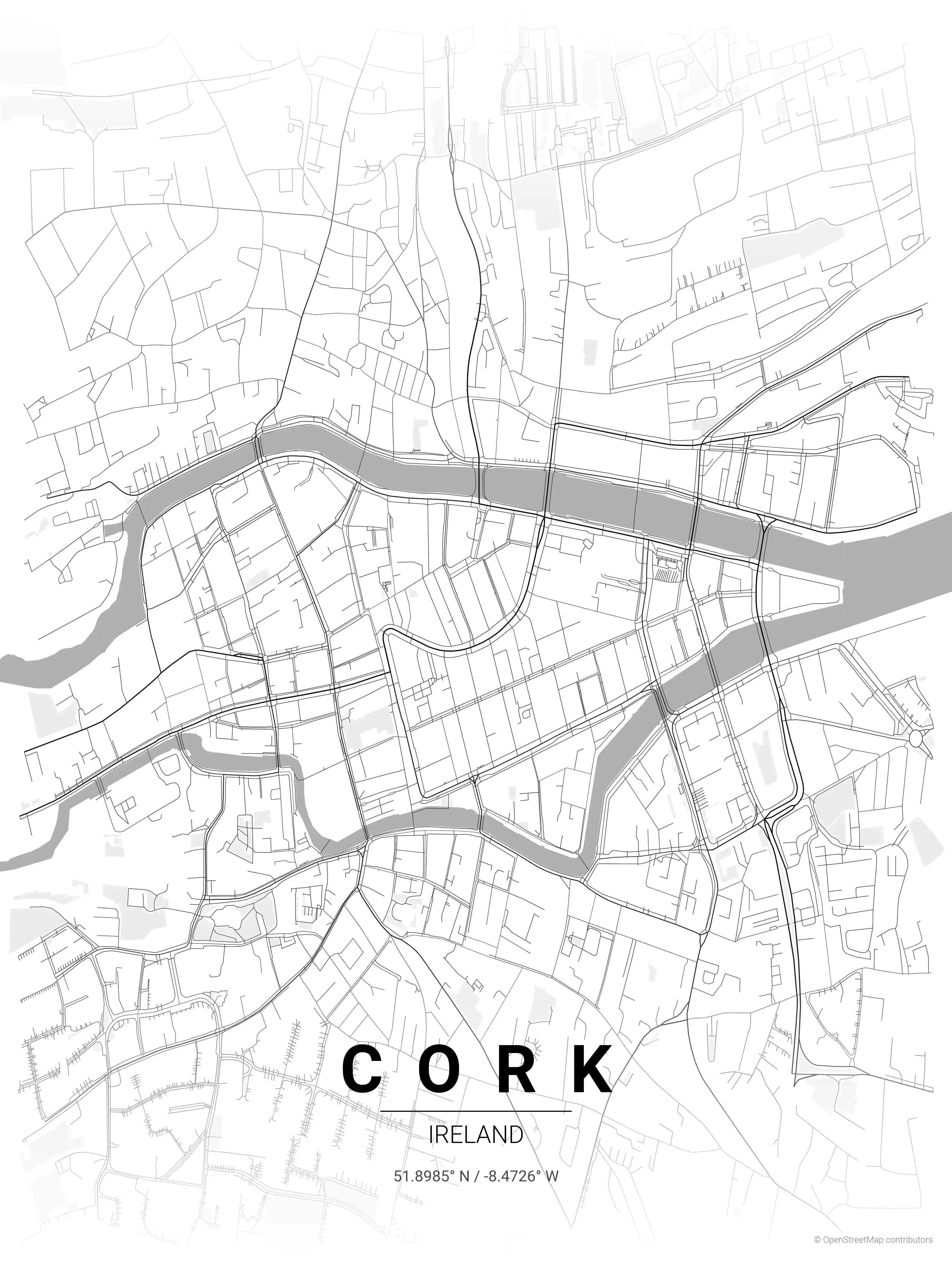
Cork Map Poster
Adorn your space with a minimalist street map poster of Cork, Ireland, capturing its iconic urban layout. Perfect for modern interiors and urban art enthusiasts, this piece elevates any room with its aesthetic appeal.
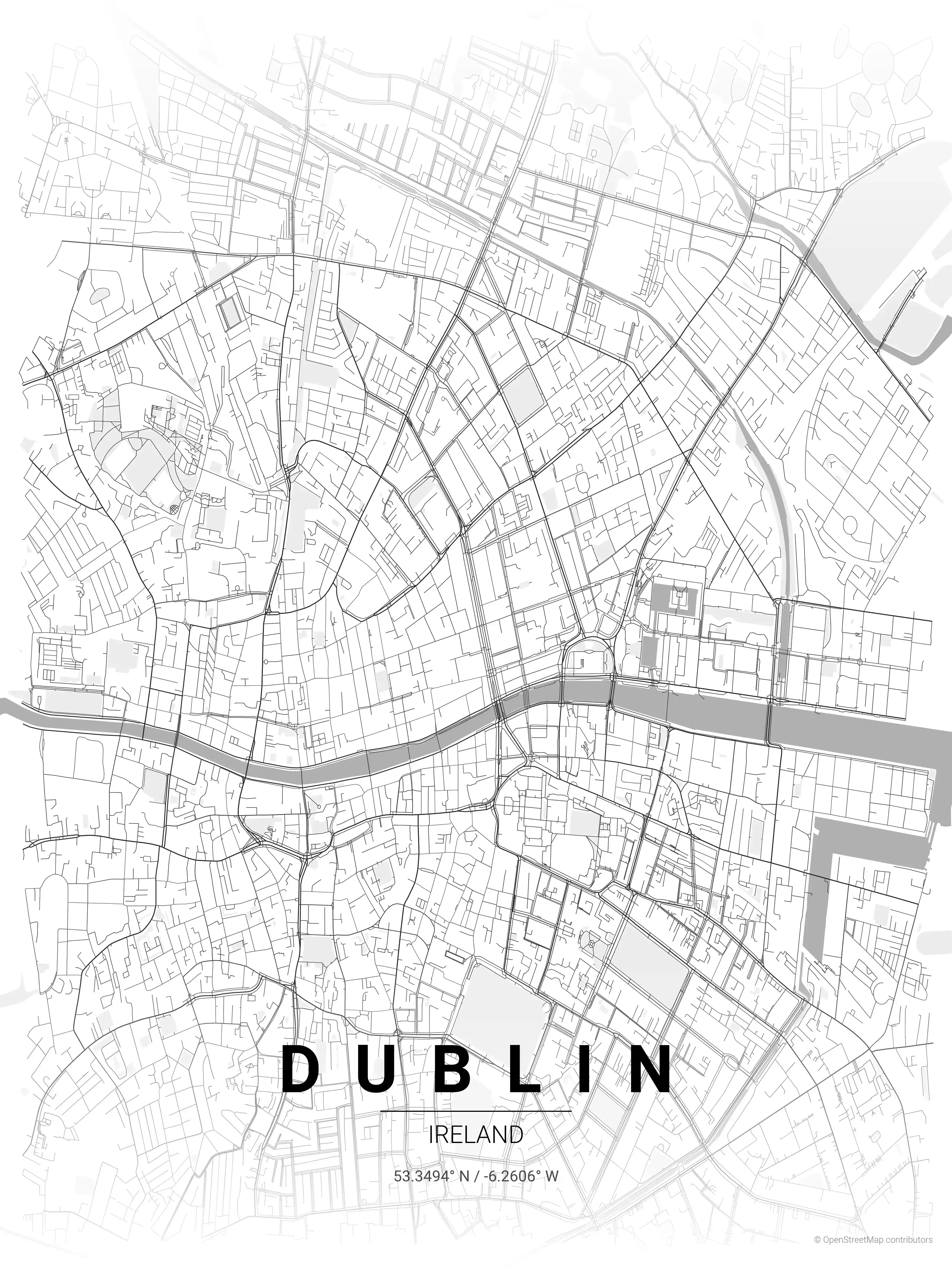
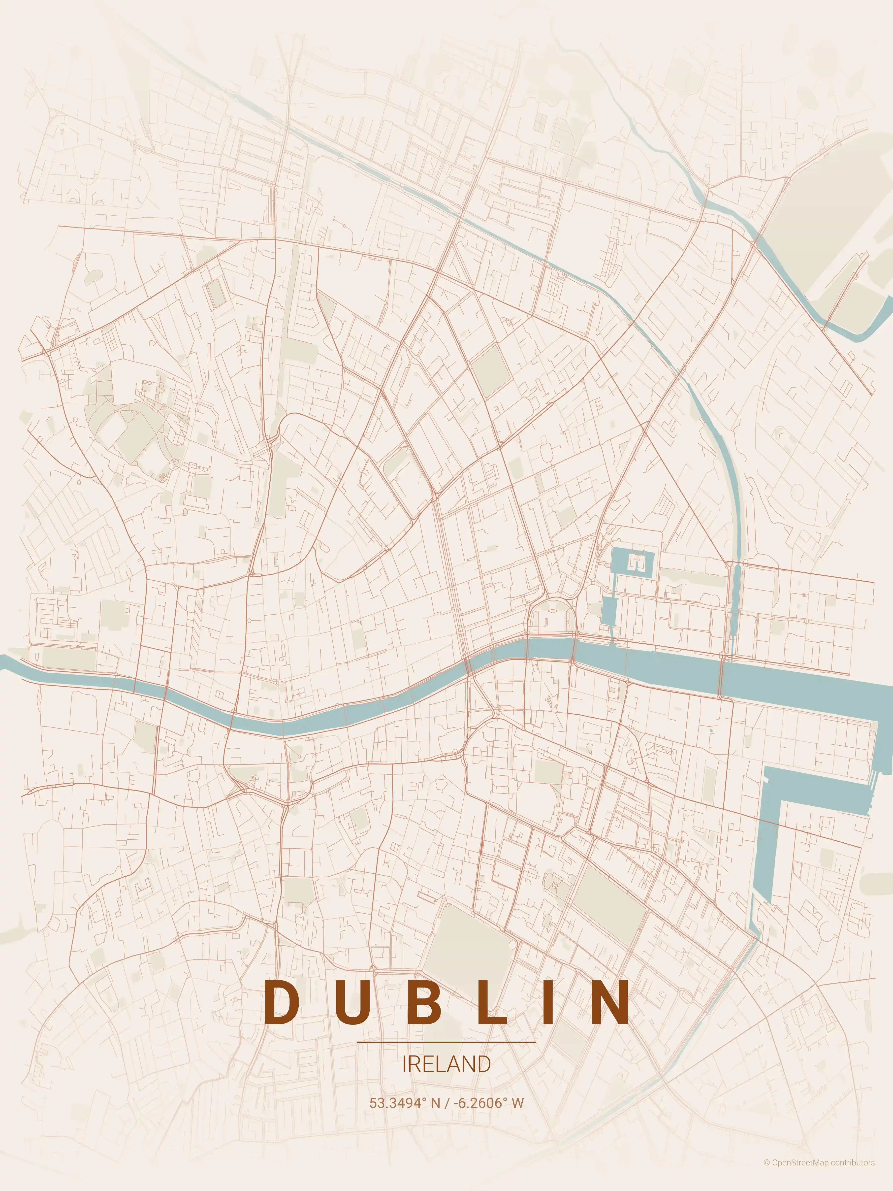
Dublin Map Poster
Adorn your space with a minimalist Dublin map poster, showcasing iconic landmarks & intricate street networks. Perfect for urban art enthusiasts & modern interiors.
About Ireland City Maps
Looking for an Ireland city map to print and frame? This is the place to start. We make free, minimalist street map posters of the country’s cities, drawn in a clean line style and offered as high-resolution downloads with no signup. Each city map leads with what the streets, rivers, and squares actually look like from above, then doubles as understated wall art.
Browse free street maps of 2 Ireland cities: Dublin and Cork. Dublin’s map is defined by the River Liffey cutting east to west, the Georgian grid of squares around Trinity College and St Stephen’s Green, and the ring formed by the Grand and Royal Canals. Cork’s is unmistakable too — a city centre set on an island where the River Lee splits in two, laced with bridges and the curving line of St Patrick’s Street.
Irish cities grew around rivers, harbours, and hills rather than imperial grids, so their street maps carry a warmth and irregularity that translates beautifully into a poster. Layers of Viking, Norman, and Georgian planning sit side by side, and a printable map captures that history in a single frame.
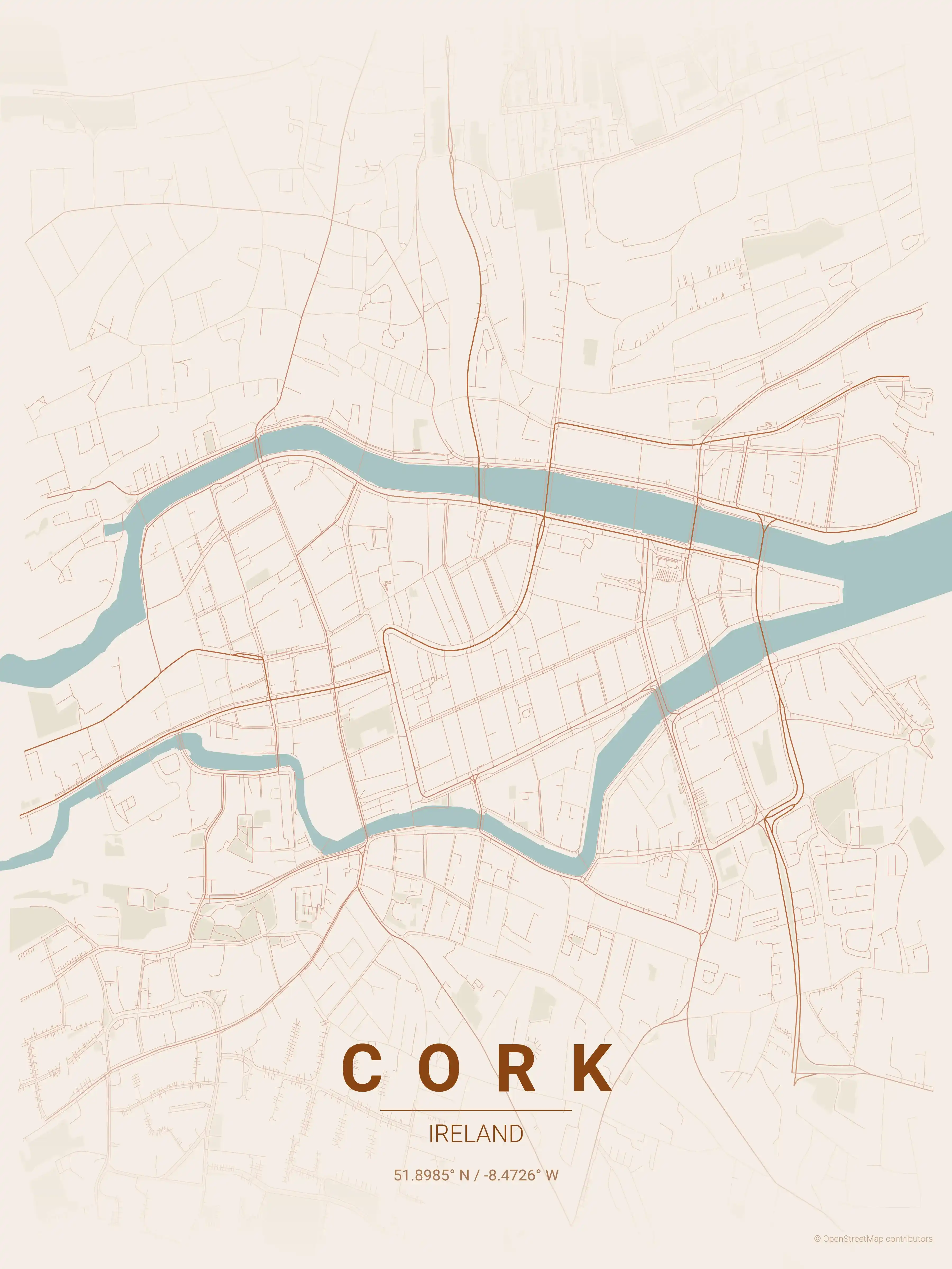
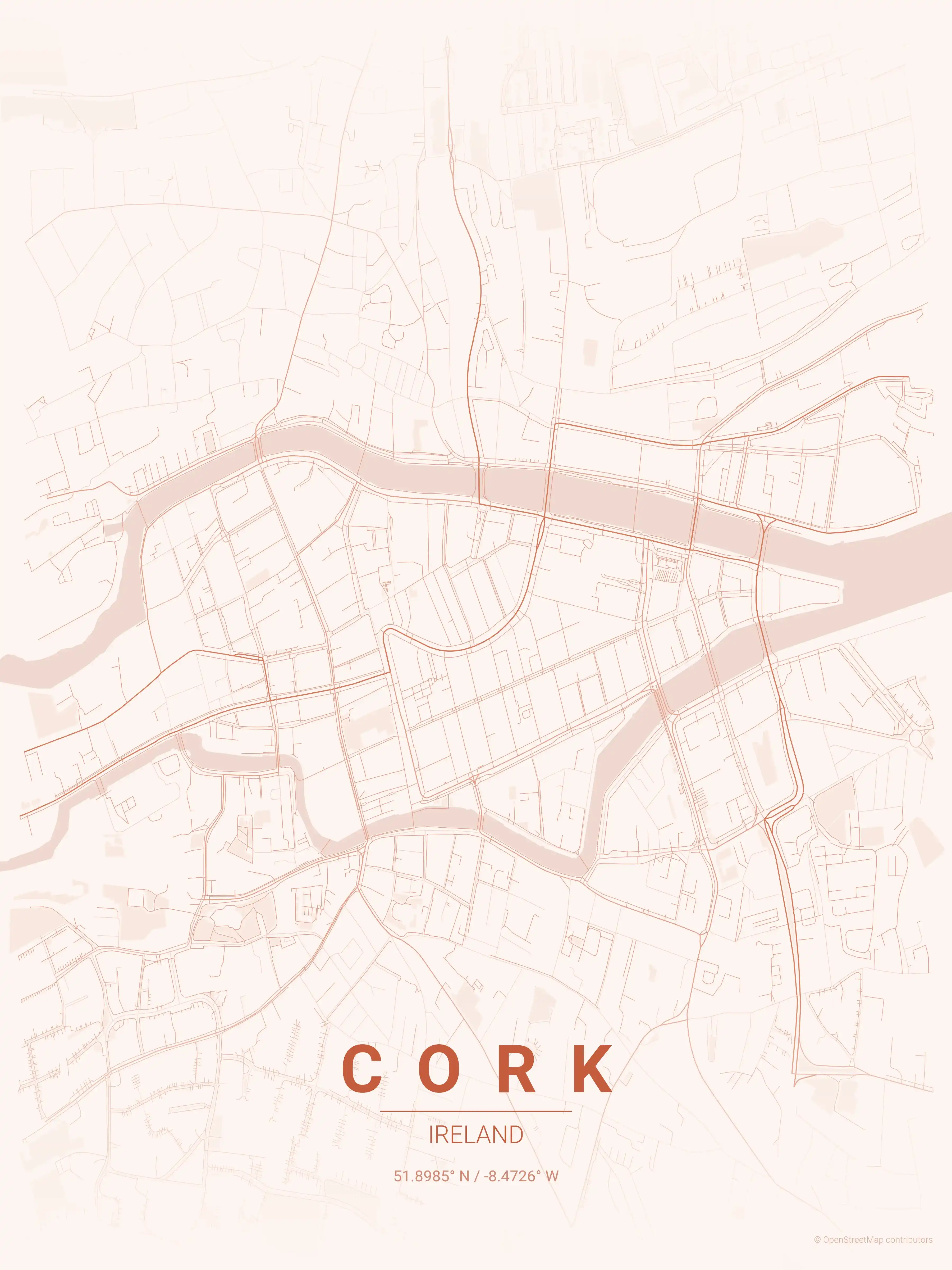
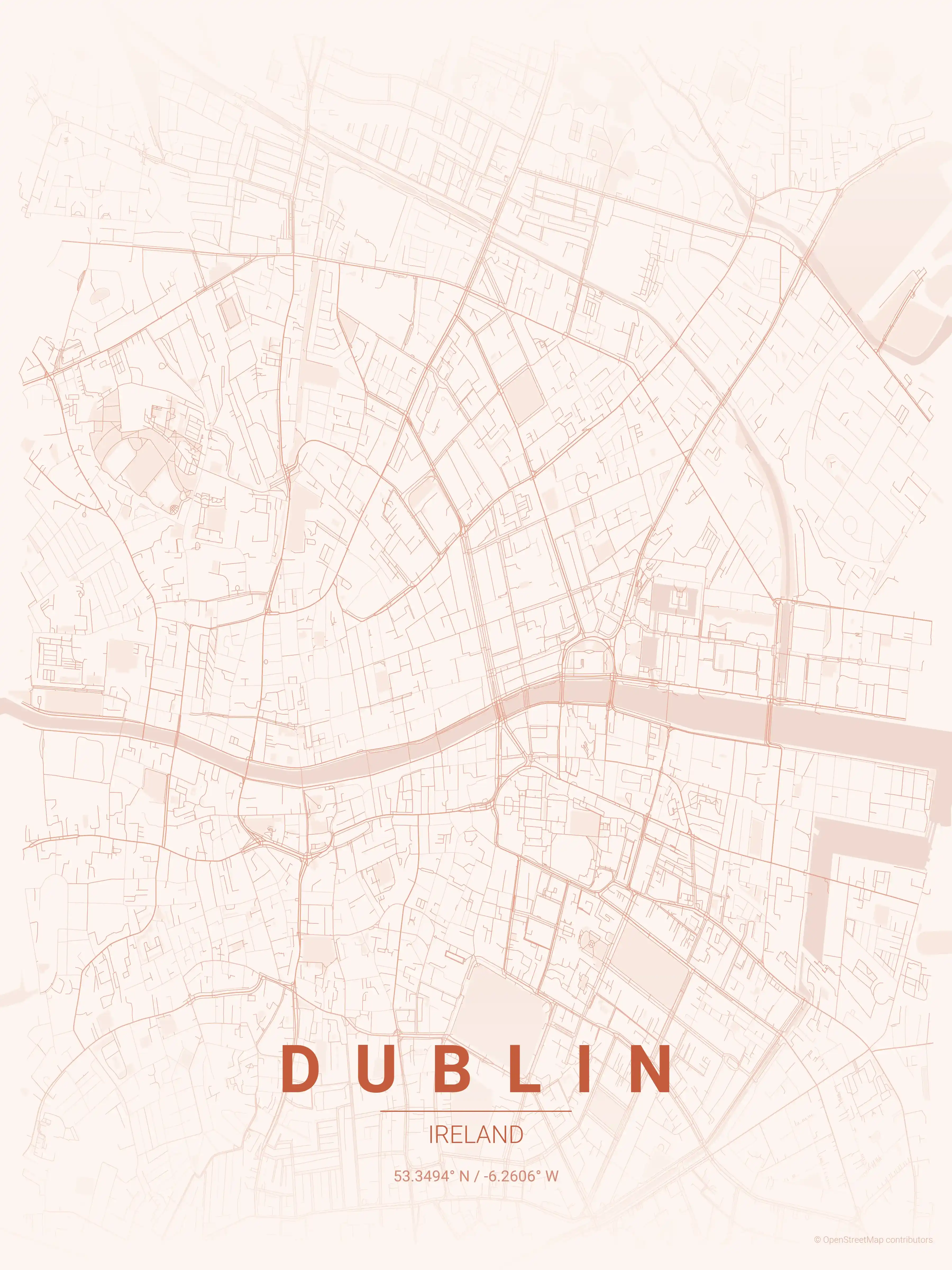
Every Ireland city map comes in nine artistic themes, from a fitting forest green to a moody midnight blue, all free to download at print resolution — ideal for the Irish diaspora or anyone charmed by a visit.
Travelling the neighbouring isles too? Compare with our United Kingdom city maps, or look further afield at our France city maps and Spain city maps.
More Europe City Maps
Explore More Cities
Discover map posters from cities across Europe in our complete collection.