Dublin Street Map Poster
Free printable Ireland city map & outline — contrast zones theme
Free high-resolution downloads. Print anywhere you like.
Digital Download
Free
High-resolution digital file
What You Get
- High-resolution WebP file
- Optimized for any print size
- Multiple artistic themes
- Free for personal use
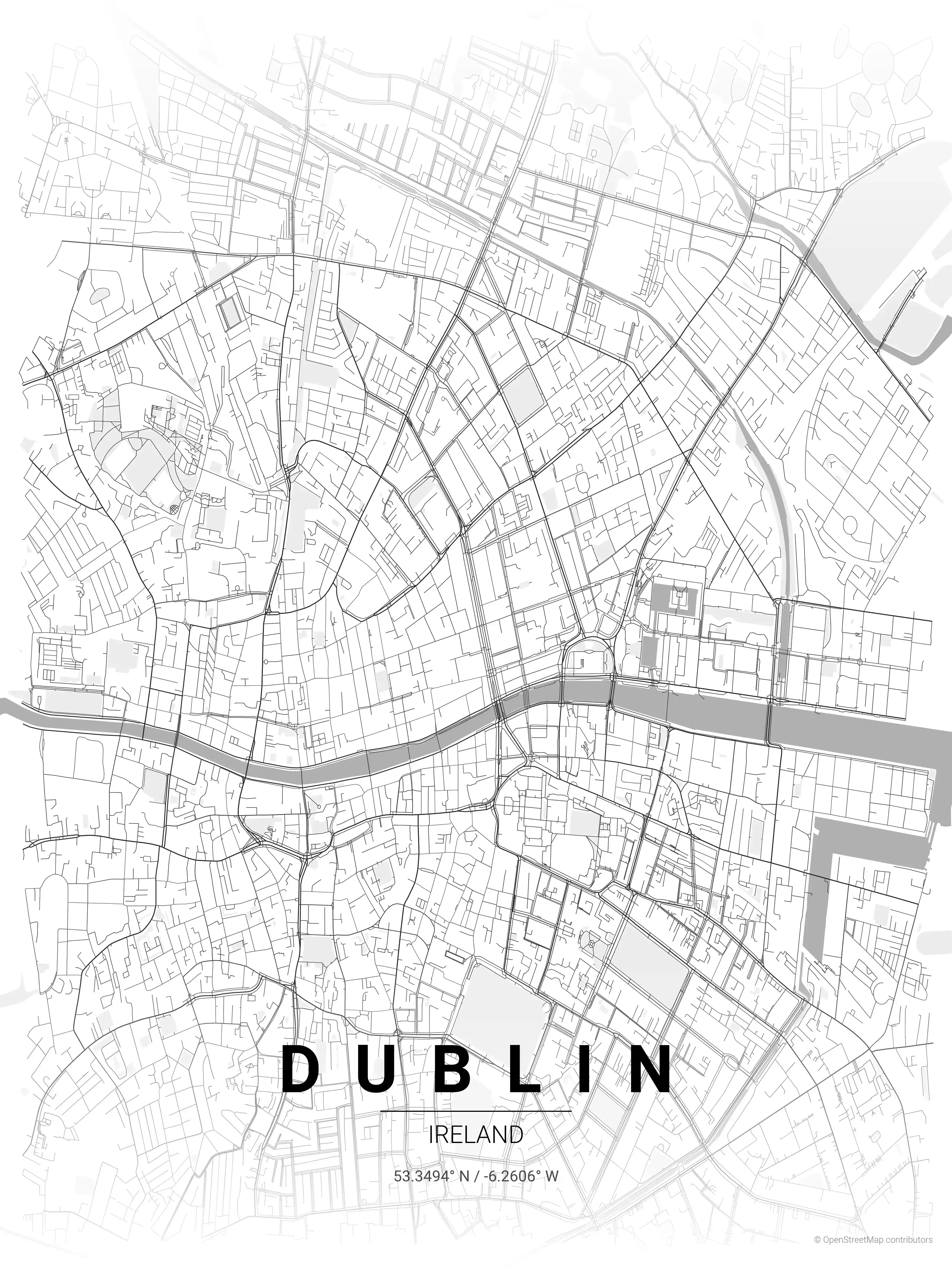
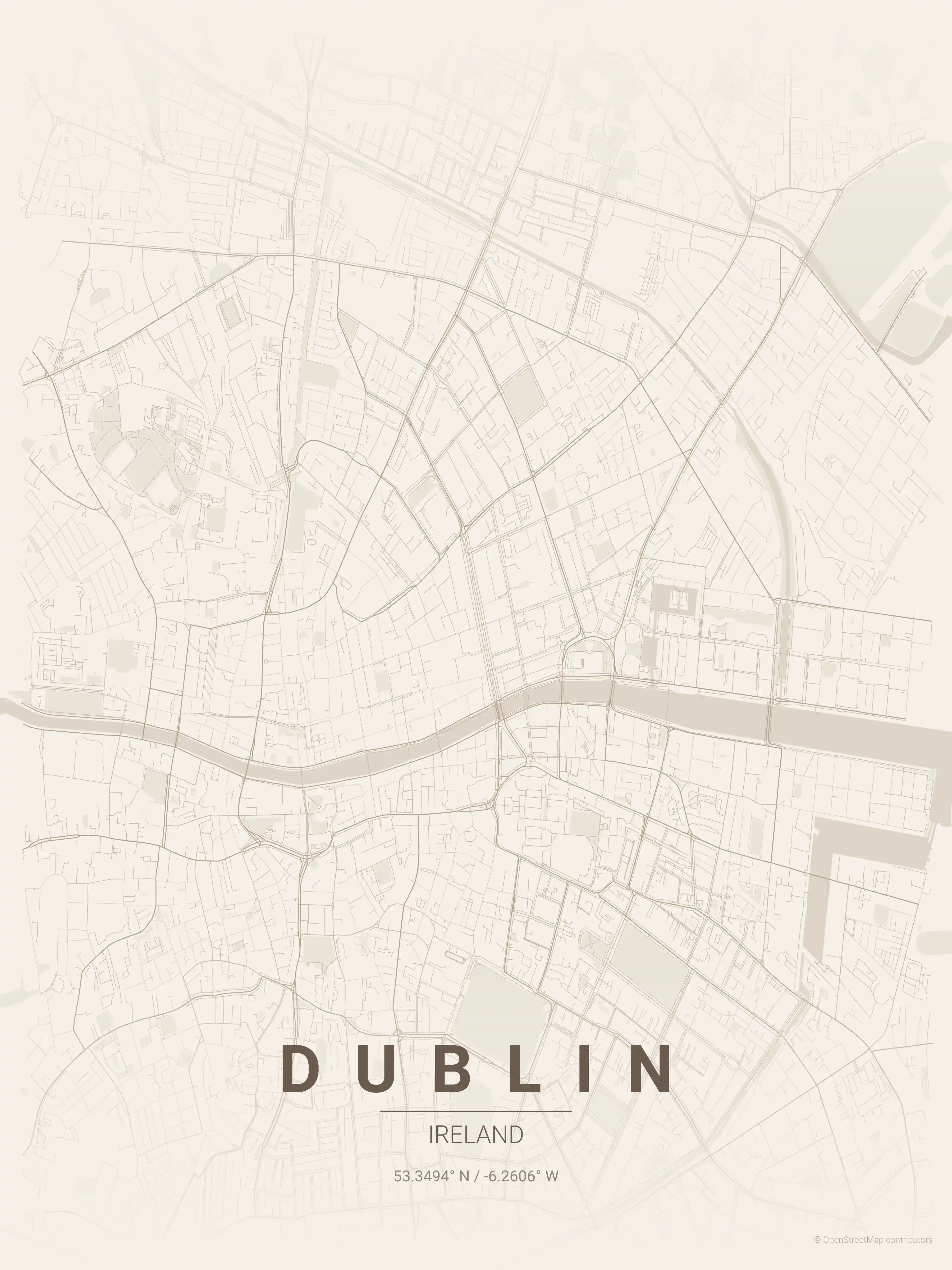
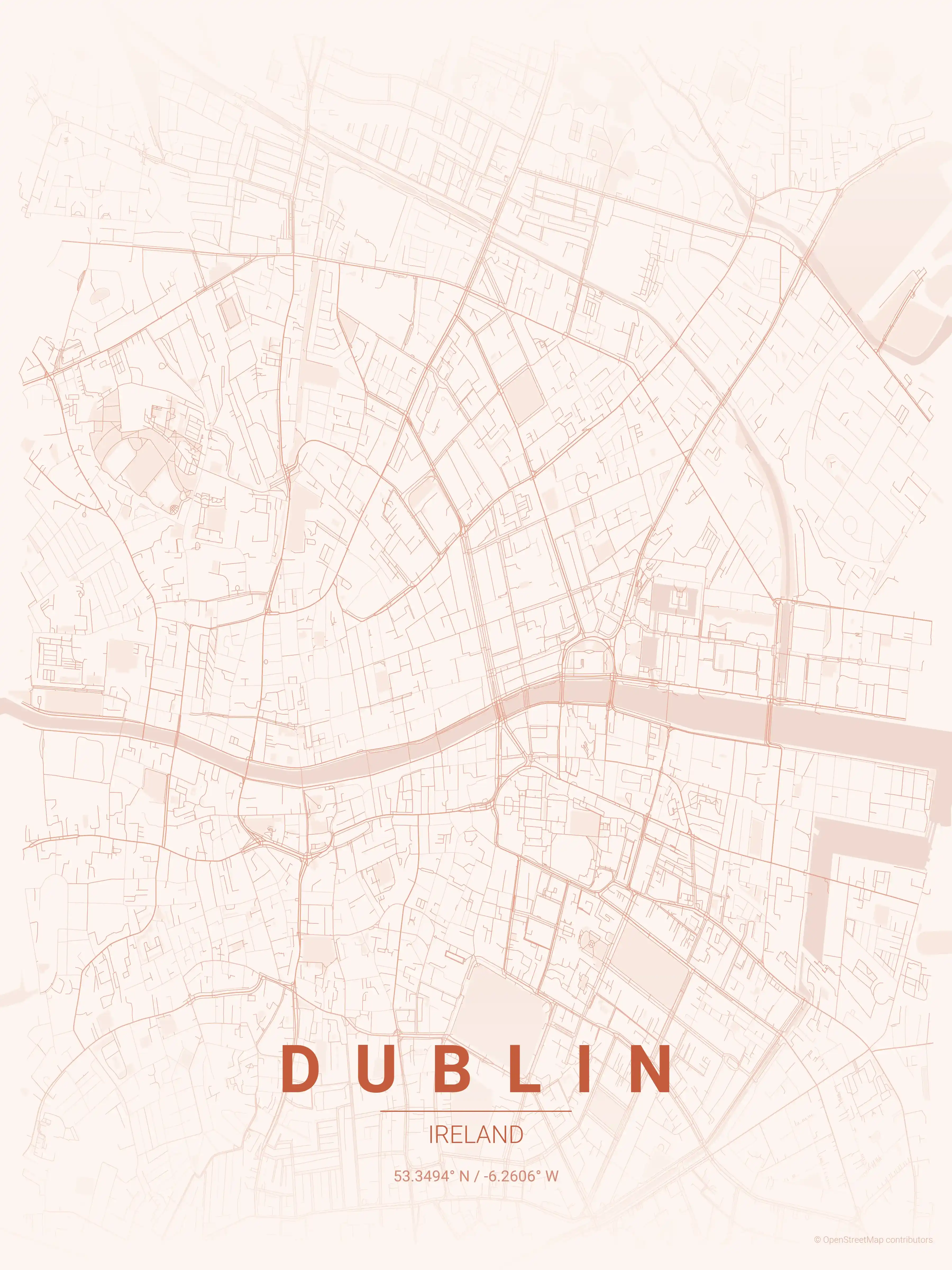
Free Printable Dublin Street Map
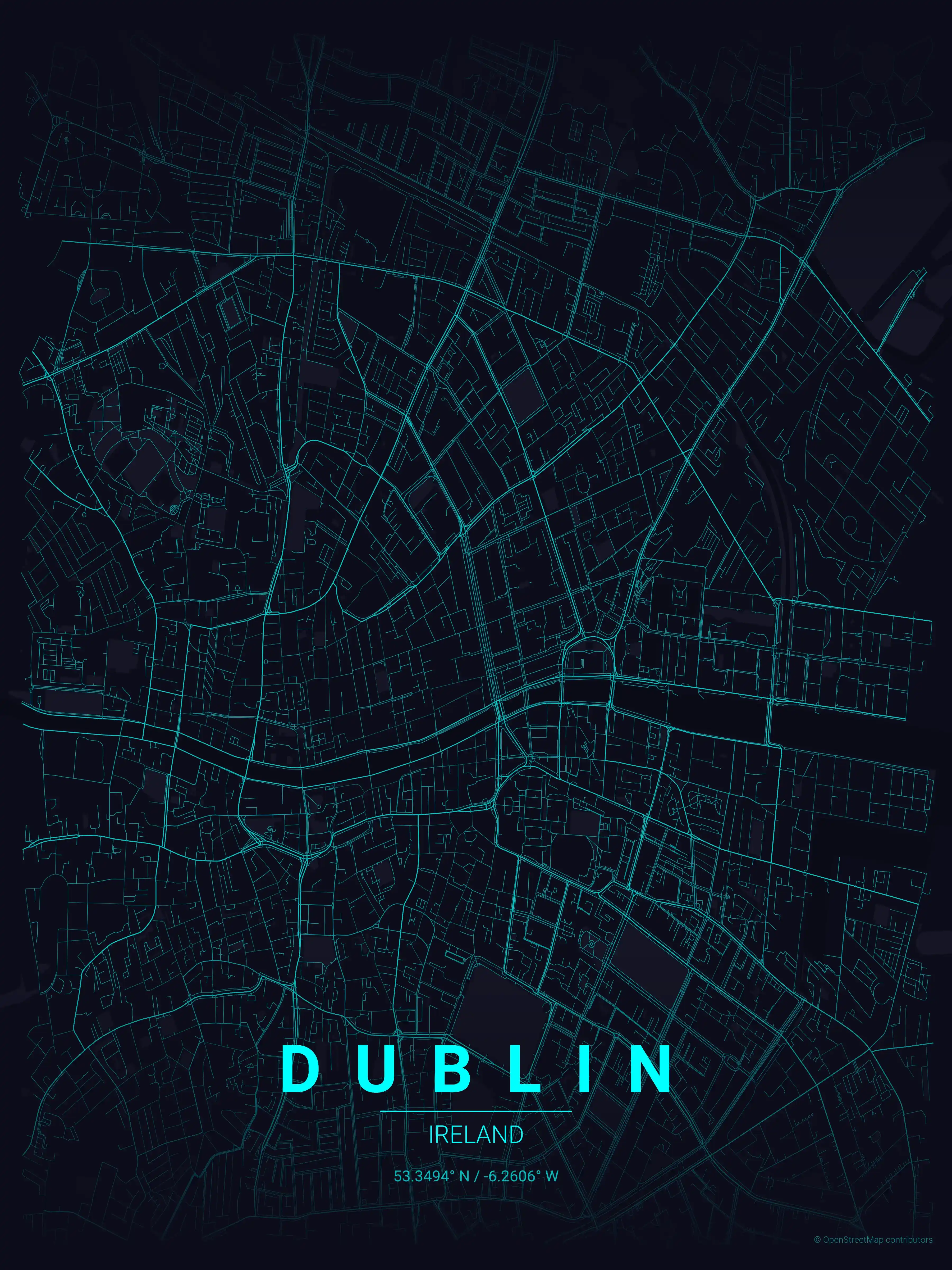
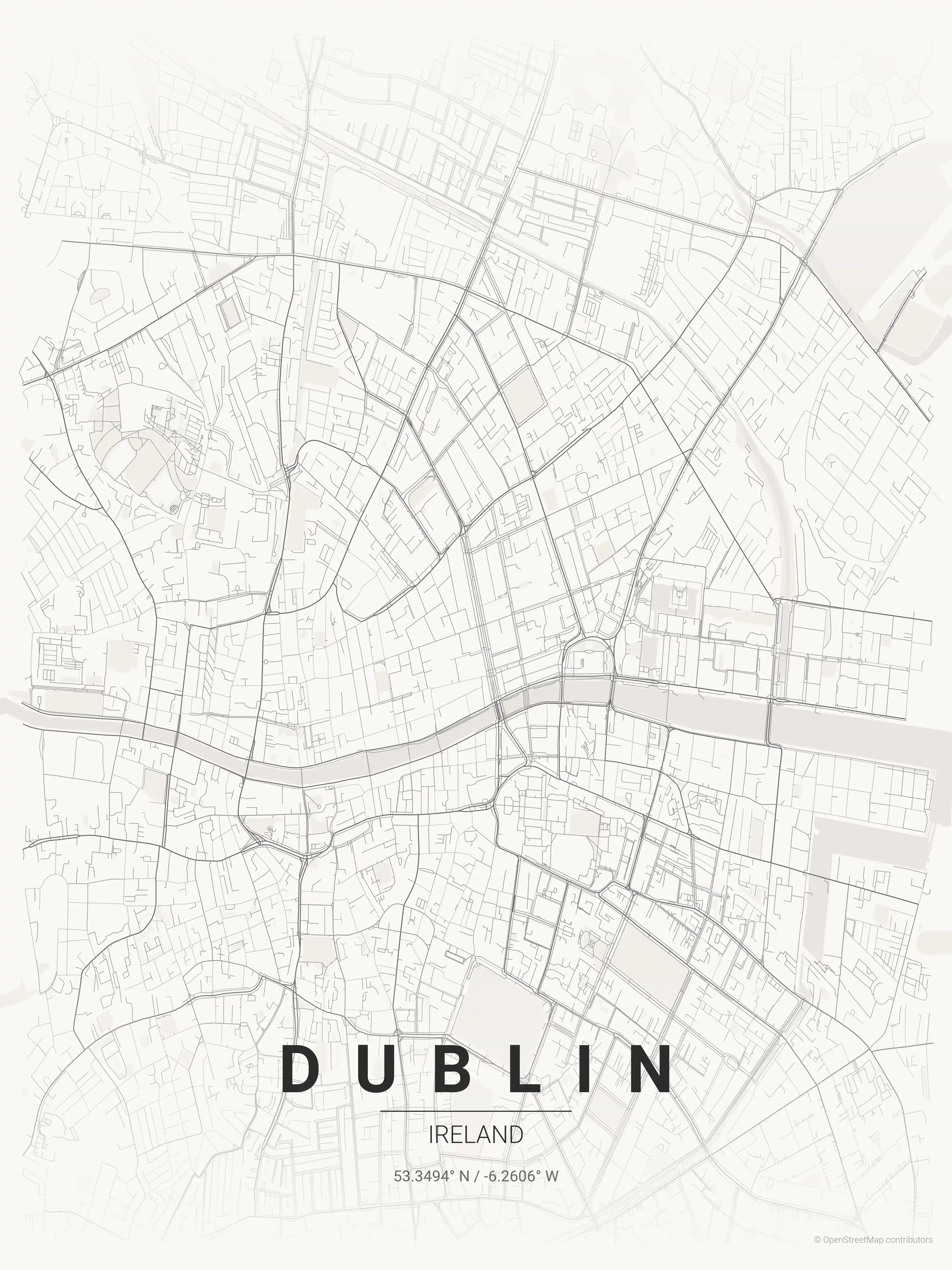
This is a detailed, minimalist street map of Dublin, covering the the medieval quarter around Christ Church and Dublin Castle in Ireland, with landmarks such as the River Liffey, O'Connell Street, St Stephen's Green. Download it free as a high-resolution, print-ready file — equally at home as framed wall art or a clean reference street map and city outline of Dublin.
About the Dublin Map Poster
The River Liffey splits Dublin in two, and this street map traces every bridge that stitches the city back together — from the cast-iron Ha’penny Bridge to the broad span of O’Connell Bridge at the foot of O’Connell Street, the capital’s grand central thoroughfare. North of the river the printable city map picks up Henry Street and the bustle around the General Post Office; south of it you can follow the cobbled lanes of Temple Bar, the quadrangles of Trinity College, and the formal greenery of St Stephen’s Green and Merrion Square.
Dublin’s character comes from its layers. The medieval quarter around Christ Church Cathedral and Dublin Castle marks the old town and the original Viking and Norman settlement, while the Georgian grid of elegant terraces and the green sweep of Phoenix Park show how the city expanded outward. The encircling Grand Canal and Royal Canal give the map its distinctive ring.
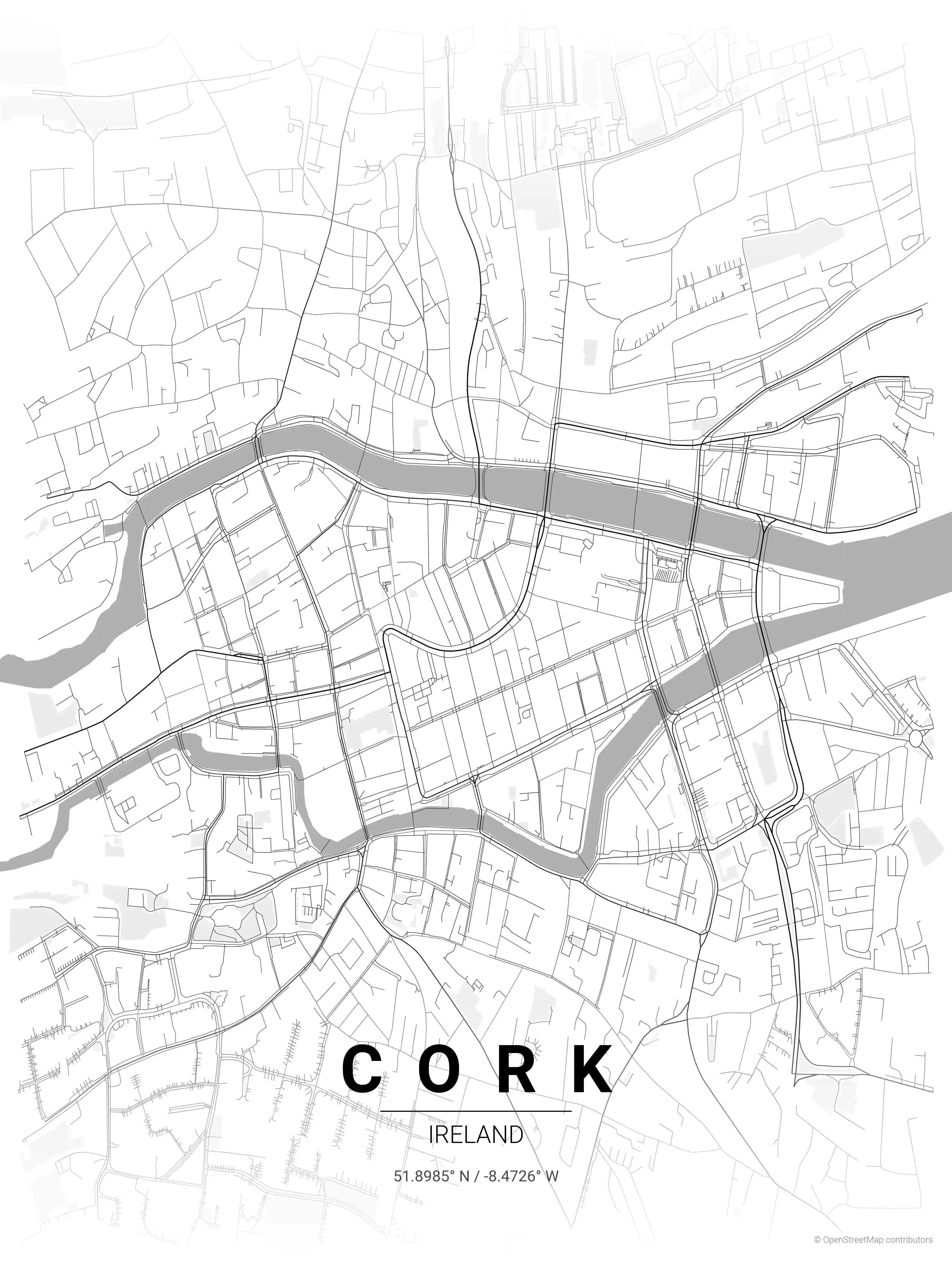
Printed as wall art for an Irish home or for anyone with roots in the capital, this Dublin map poster reads as cleanly as it informs. Explore other Ireland city maps or pair it with our Cork map poster for a two-city display drawn from the same minimalist series.
How to Print Your Dublin Map
Download the high-resolution file and print it at home, through an online print service (Printful, Printify, Shutterfly, Vistaprint), or at a local print shop. The Dublin street map prints crisp at sizes up to roughly A1 (24×36 in / 60×90 cm).
- · Popular frame sizes: A3, A2, 18×24 in, 50×70 cm
- · Portrait 3:4 aspect ratio — fits standard poster frames
- · No watermark · no attribution required for personal use
File Information
What's Included
- High-resolution file optimized for professional printing
- Instant download – no registration or account needed
- Print as many times as you like for personal use
- Clean design with no watermarks or attribution required
Theme Collection
Explore all available aesthetic variations
contrast zones
Click to preview
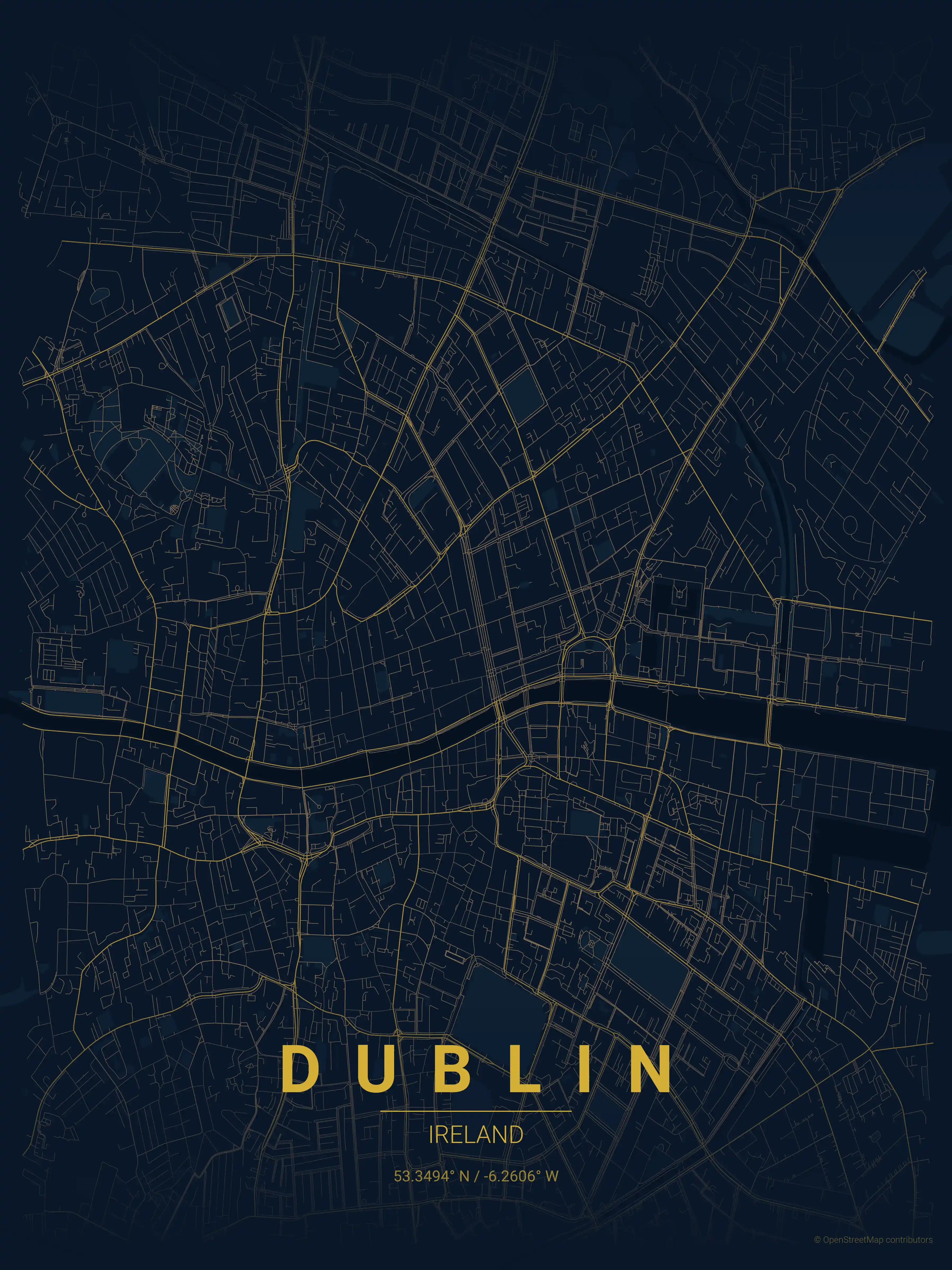
midnight blue
Click to preview
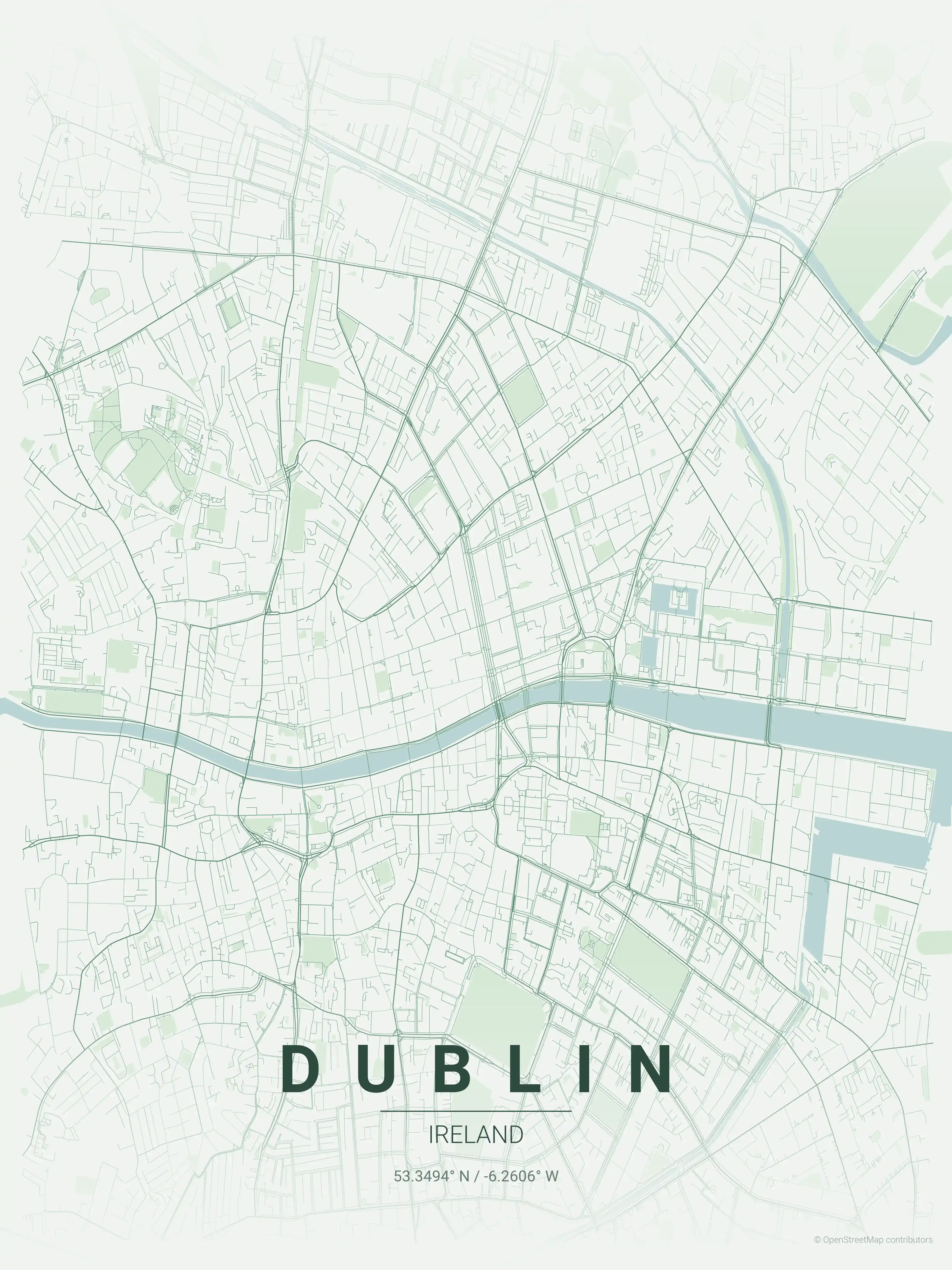
forest
Click to preview
neon cyberpunk
Click to preview
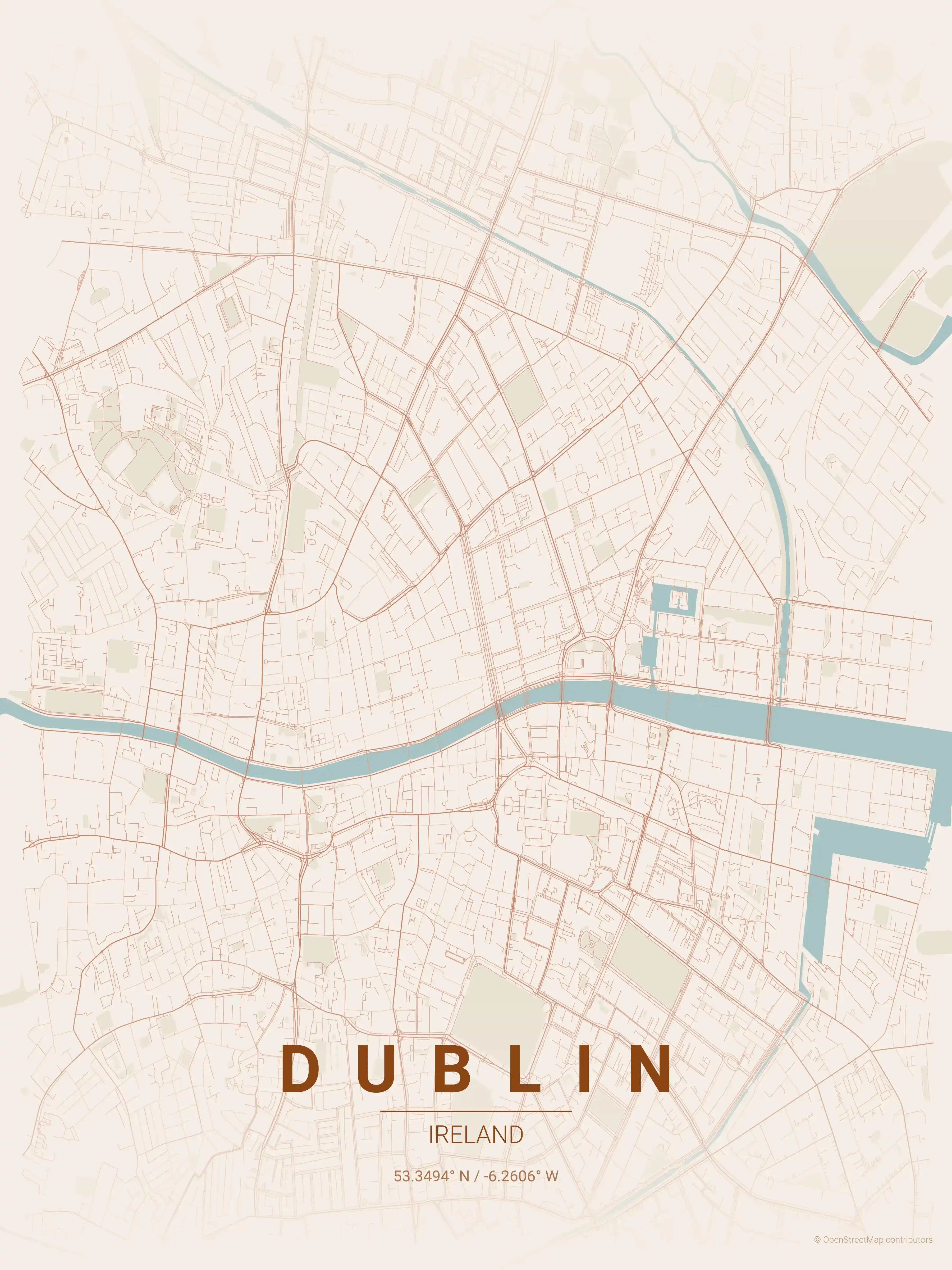
terracotta
Click to preview
japanese ink
Click to preview
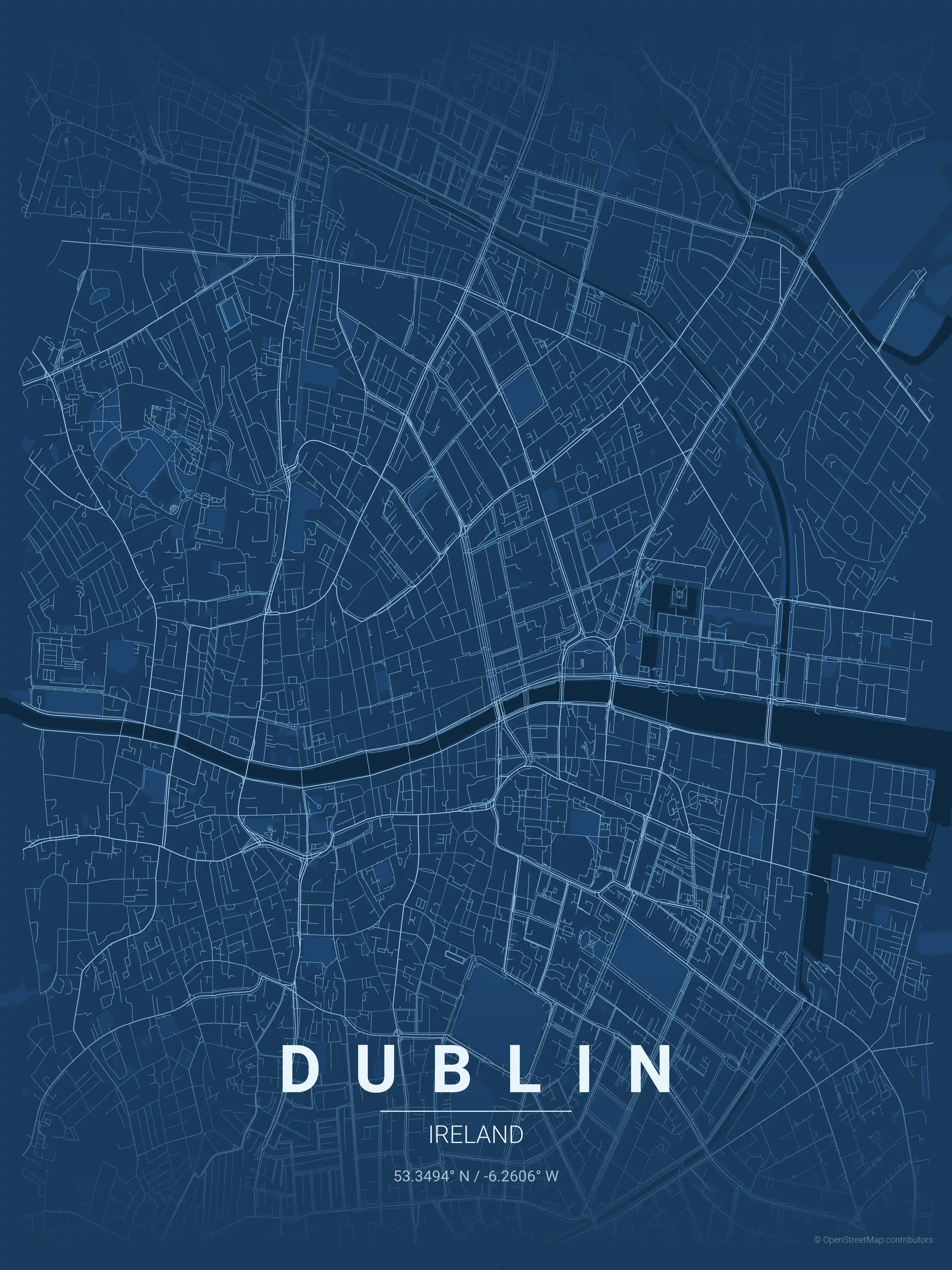
blueprint
Click to preview
warm beige
Click to preview
sunset
Click to preview
Dublin Map — FAQ
Common questions about the free Dublin street map poster
Is the Dublin map poster free to download?
Yes. Every Dublin, Ireland street map poster is 100% free to download for personal use — no signup, no email, and no watermark. Download as many themes as you like.
What does the Dublin map show?
It's a minimalist street map of Dublin — a clean outline of the city's real street network, including the the medieval quarter around Christ Church and Dublin Castle and landmarks such as the River Liffey, O'Connell Street, St Stephen's Green. It works as both decorative wall art and a stylised reference map of Dublin.
What size can I print the Dublin map at?
The file is high-resolution and prints crisp at sizes up to roughly A1 (24×36 in / 60×90 cm). Popular frame sizes are A3, A2, 18×24 in and 50×70 cm.
How many themes are available for Dublin?
Dublin is available in 9 artistic themes, including contrast zones, midnight blue, forest and more — same street layout, different colour palettes.
More Maps from Ireland
Discover other cities in our collection