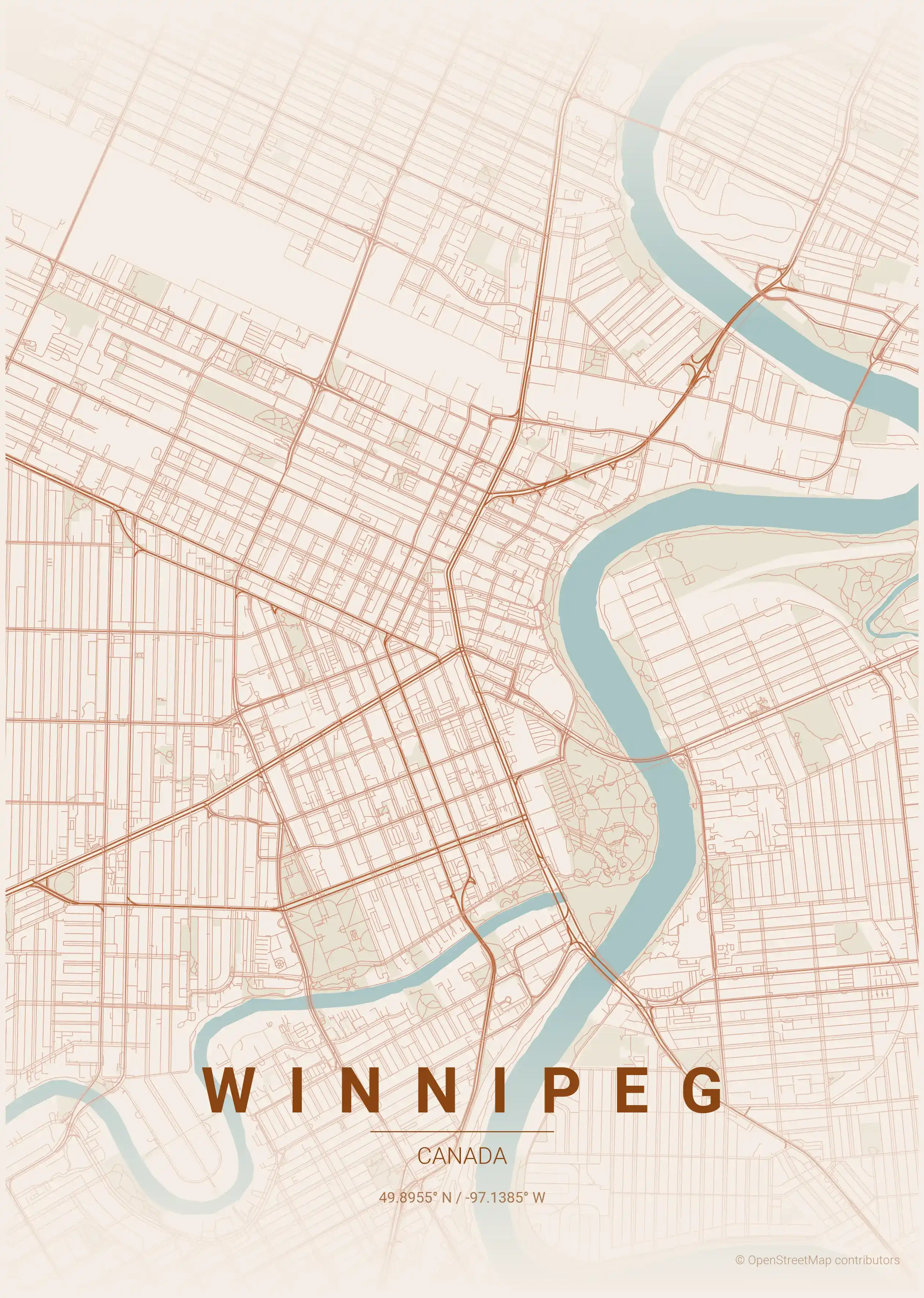
Winnipeg Street Map Poster
Free printable Canada city map & outline — contrast zones theme
Free high-resolution downloads. Print anywhere you like.
Digital Download
Free
High-resolution digital file
What You Get
- High-resolution WebP file
- Optimized for any print size
- Multiple artistic themes
- Free for personal use
Free Printable Winnipeg Street Map
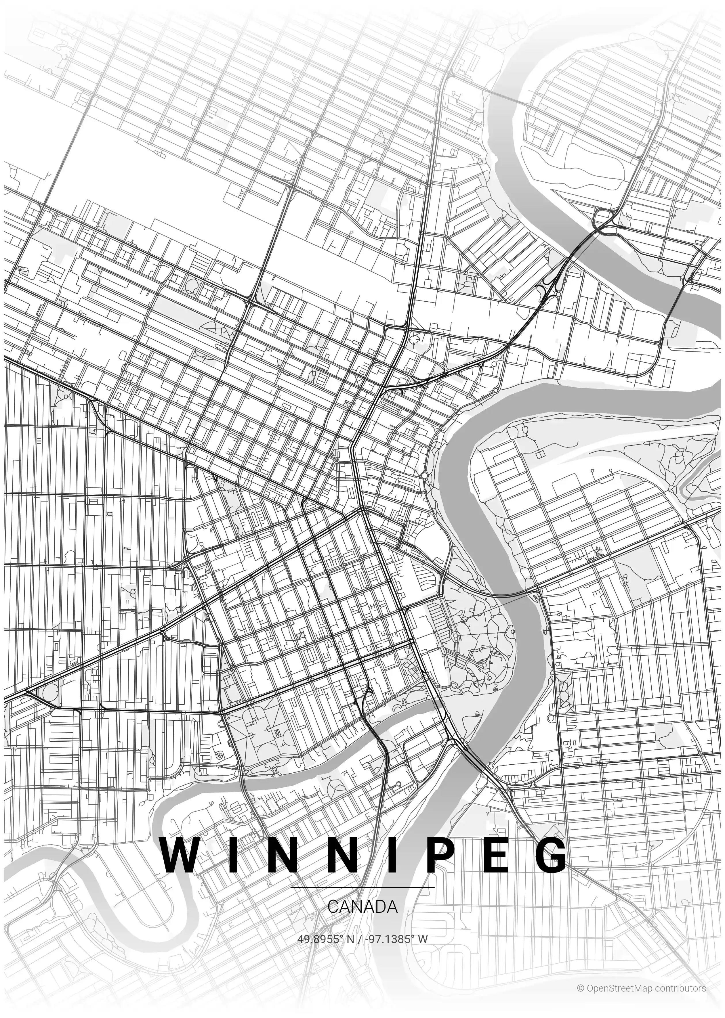
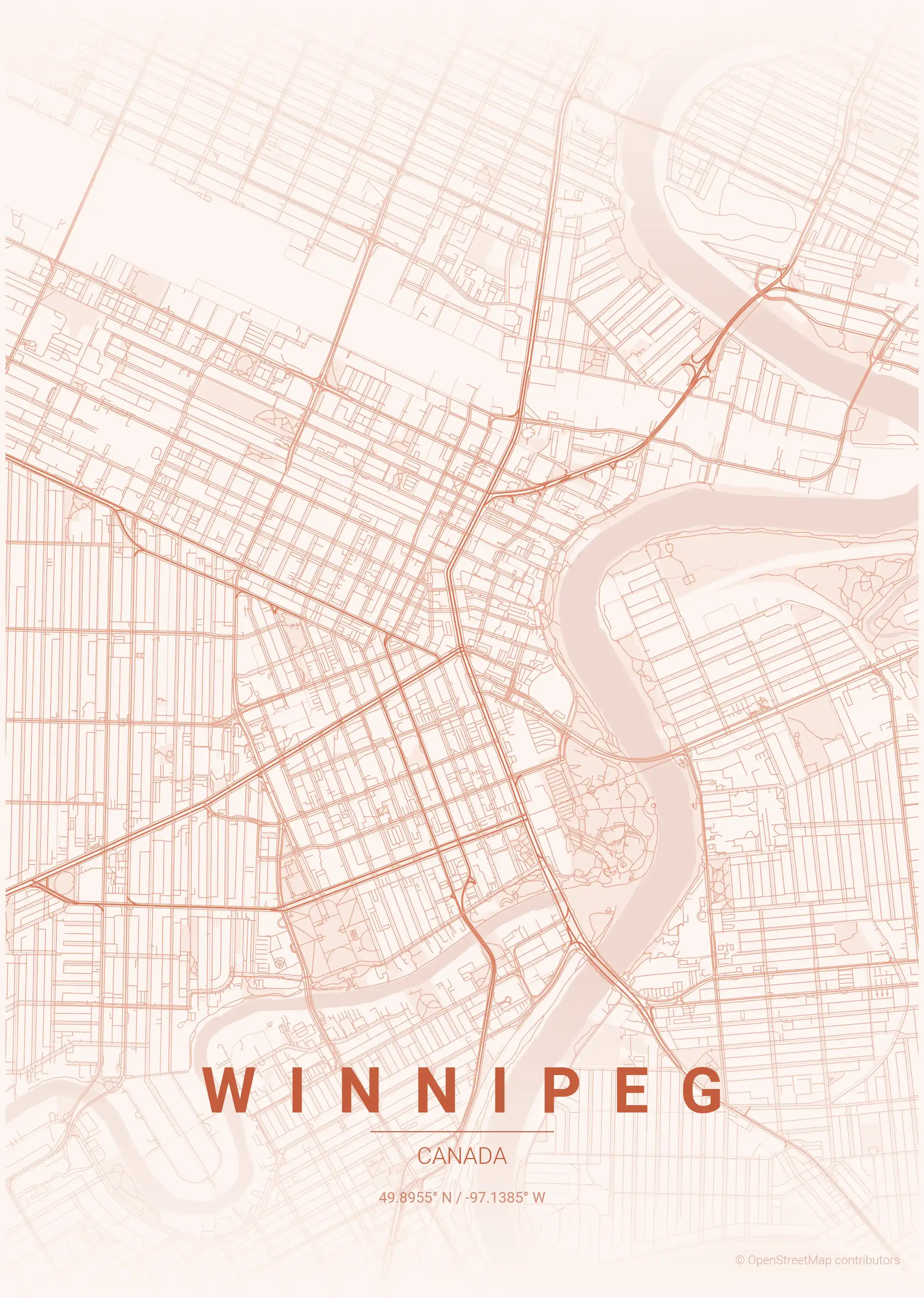
This is a detailed, minimalist street map of Winnipeg, covering the the Exchange District in Canada, with landmarks such as the Red River, the Assiniboine River, The Forks. Download it free as a high-resolution, print-ready file — equally at home as framed wall art or a clean reference street map and city outline of Winnipeg.
About the Winnipeg Map Poster
Winnipeg grew up where two rivers cross. This printable street map poster centres on the meeting of the Red River and the Assiniboine River at The Forks, a confluence that has been a gathering place for thousands of years and still organises the modern city’s streets. From there the grid spreads across the flat prairie, broken by the slow meanders of both rivers tracing wide loops through the neighbourhoods.
At the historic heart sits the Exchange District, the old warehouse quarter whose dense blocks of early-twentieth-century buildings cluster just north of the famous Portage and Main intersection. A Winnipeg city map makes the contrast plain: the tight old town against the long, straight prairie avenues and the green river corridors curving past districts like Osborne Village. It is an honest, legible street map of a city at the geographic centre of Canada.
As minimalist wall art, it turns that crossroads geography into a clean graphic. Browse other Canada city maps, or pair it with the Calgary map poster for a two-city tour of the prairies.
How to Print Your Winnipeg Map
Download the high-resolution file and print it at home, through an online print service (Printful, Printify, Shutterfly, Vistaprint), or at a local print shop. The Winnipeg street map prints crisp at sizes up to roughly A1 (24×36 in / 60×90 cm).
- · Popular frame sizes: A3, A2, 18×24 in, 50×70 cm
- · Portrait 3:4 aspect ratio — fits standard poster frames
- · No watermark · no attribution required for personal use
File Information
What's Included
- High-resolution file optimized for professional printing
- Instant download – no registration or account needed
- Print as many times as you like for personal use
- Clean design with no watermarks or attribution required
Theme Collection
Explore all available aesthetic variations
contrast zones
Click to preview
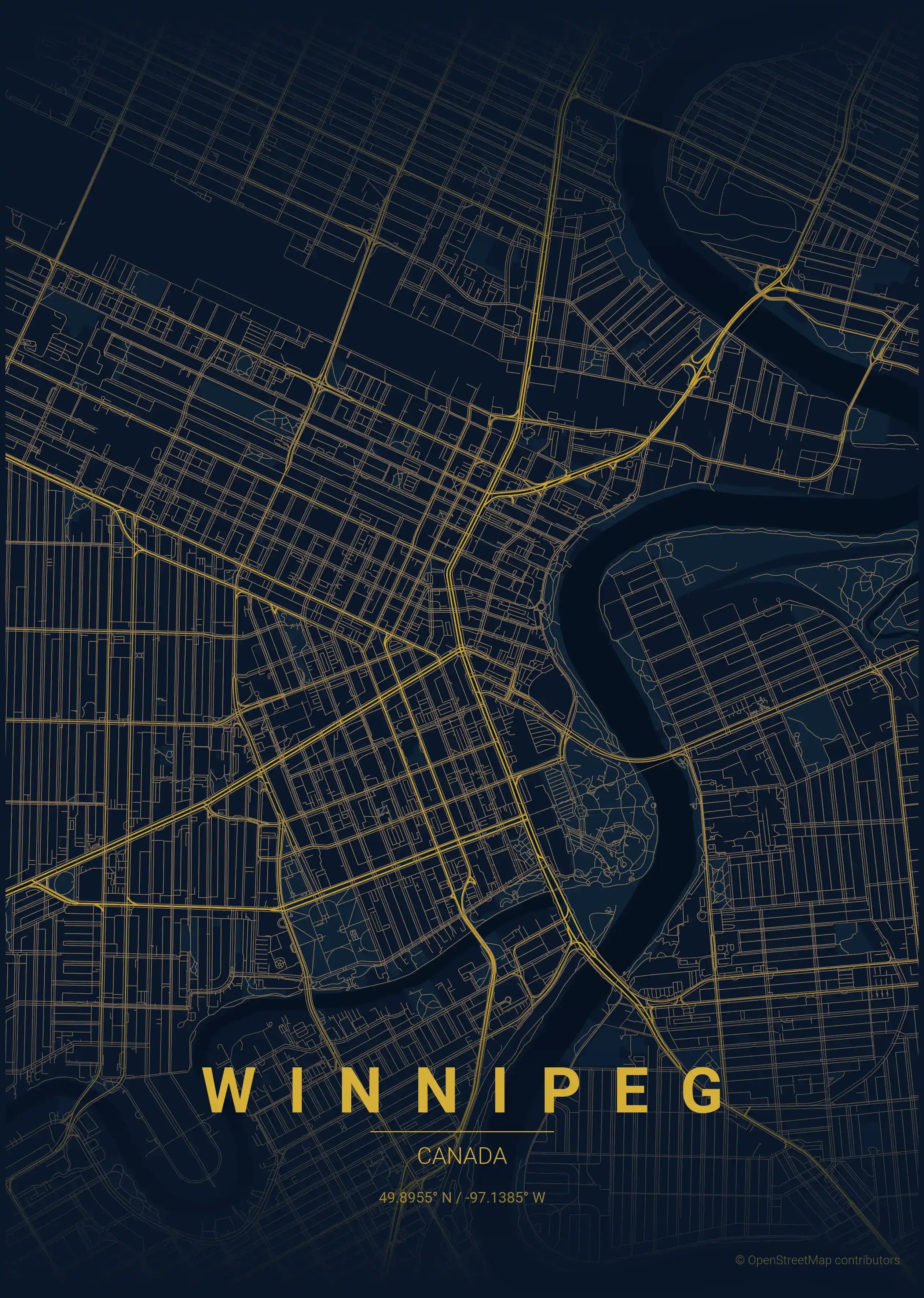
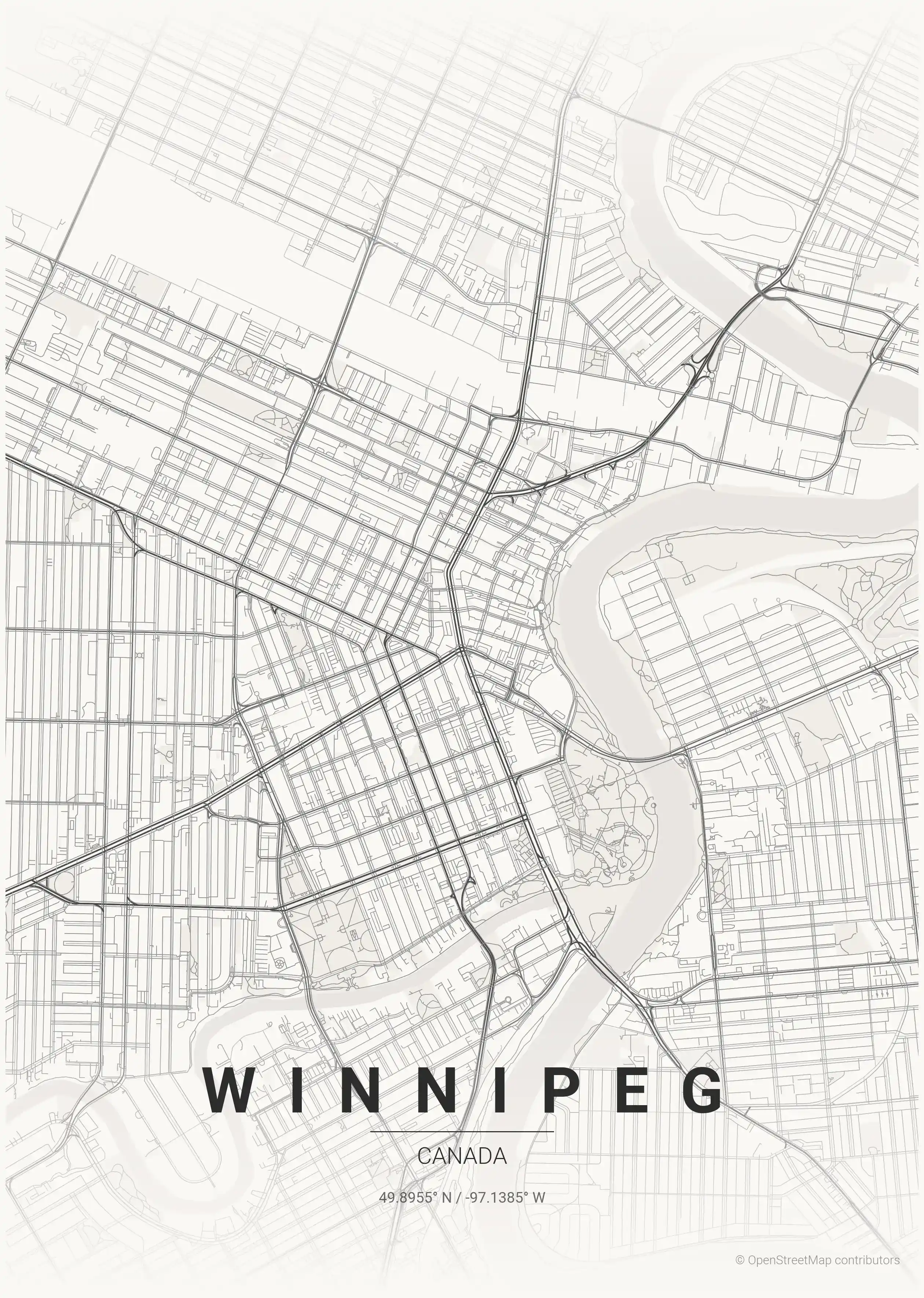
midnight blue
Click to preview
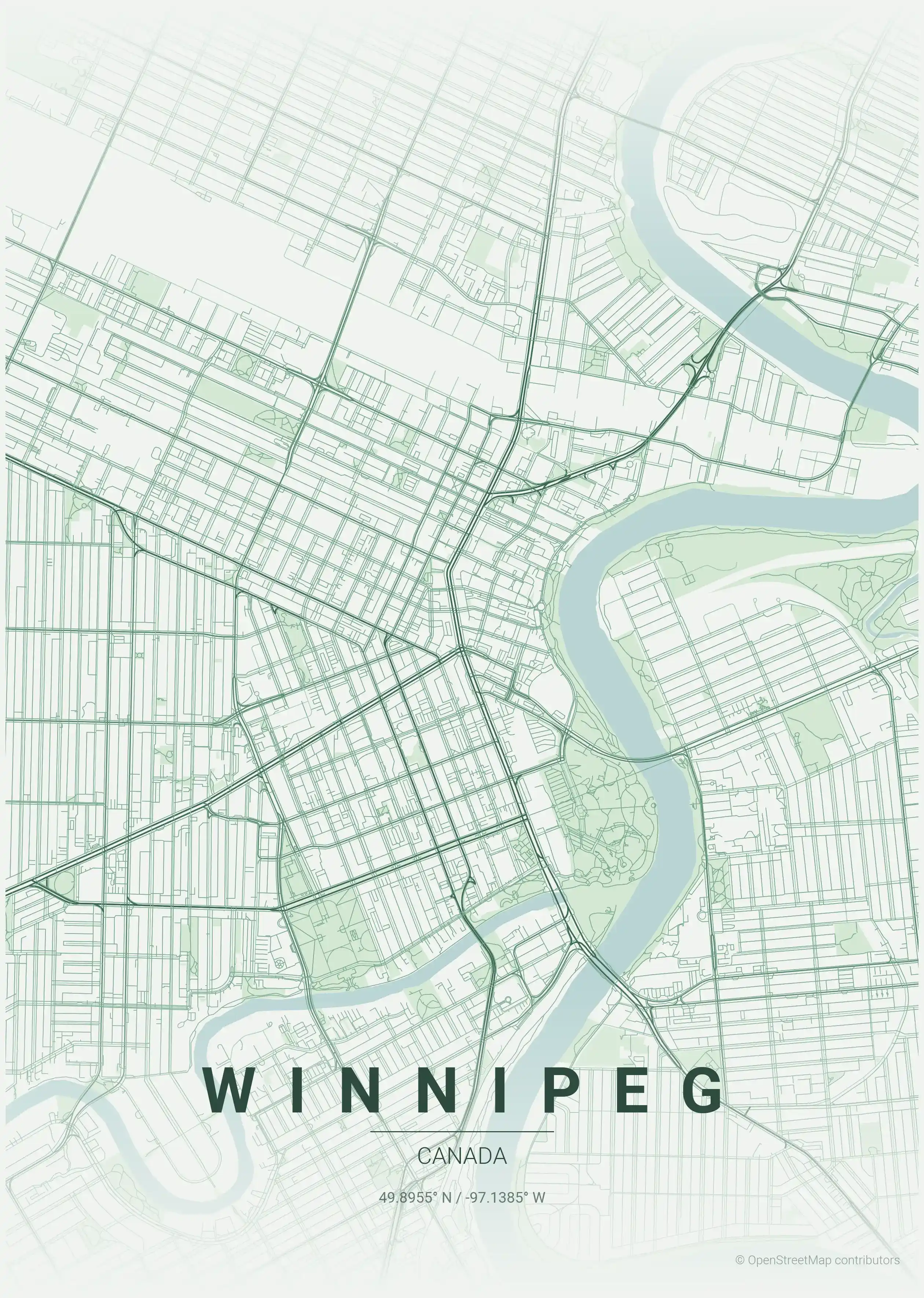
forest
Click to preview
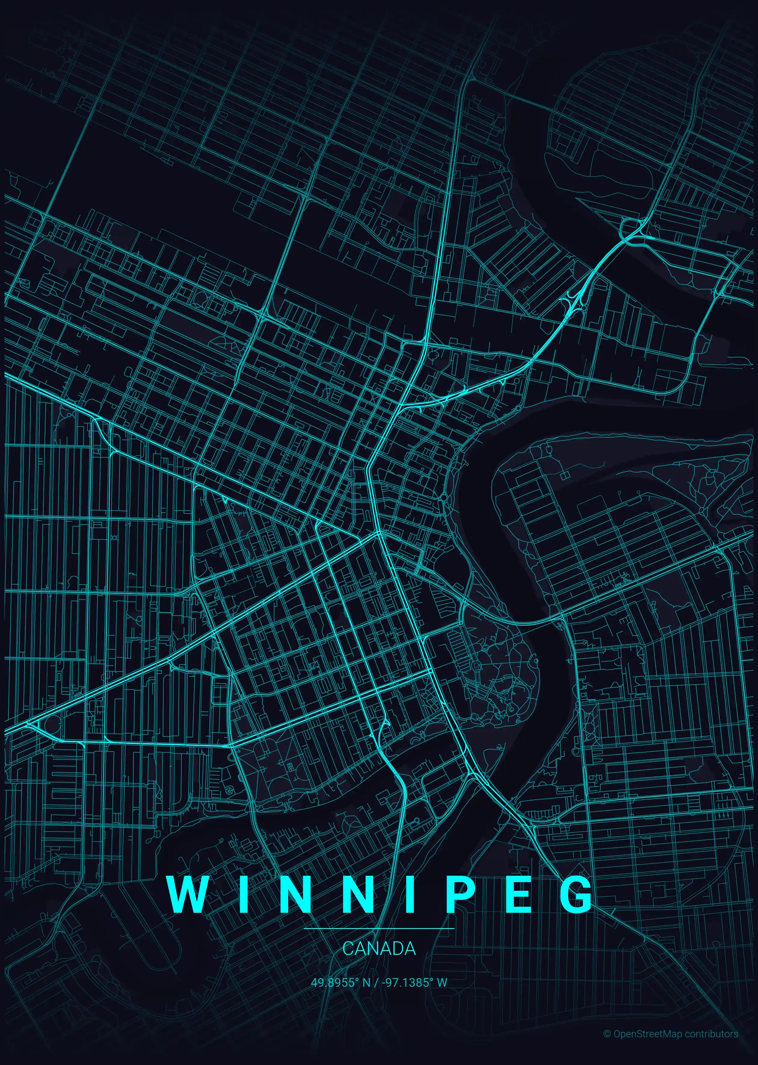
neon cyberpunk
Click to preview
terracotta
Click to preview
japanese ink
Click to preview
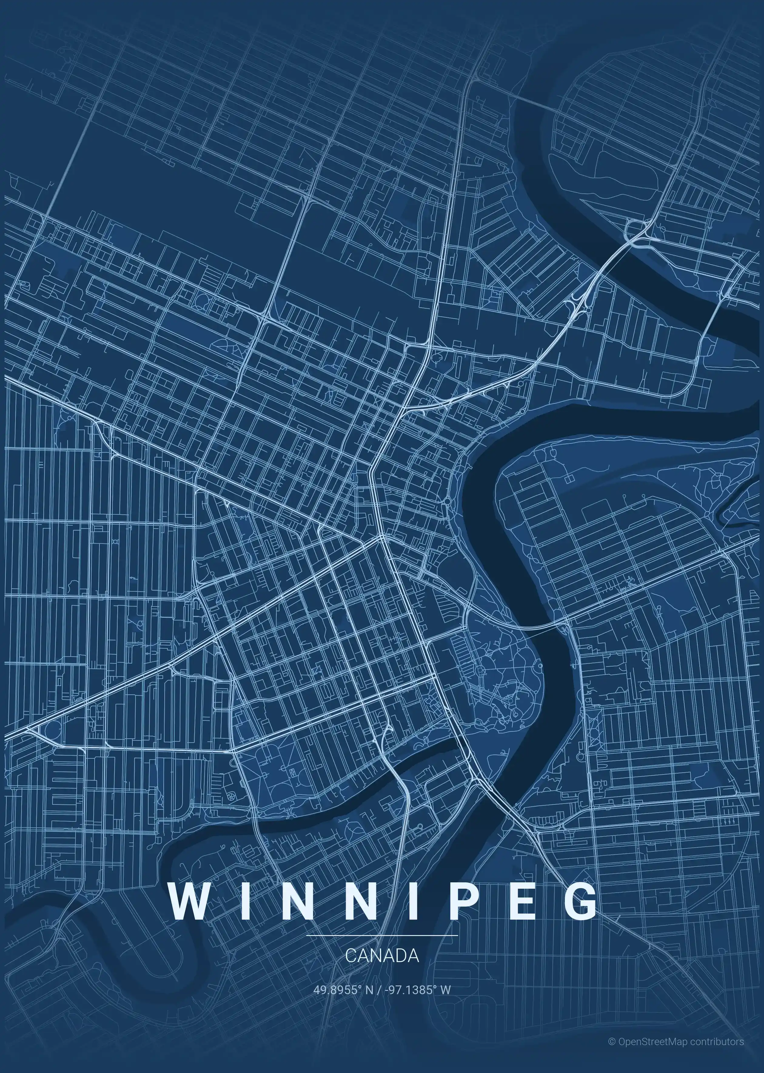
blueprint
Click to preview
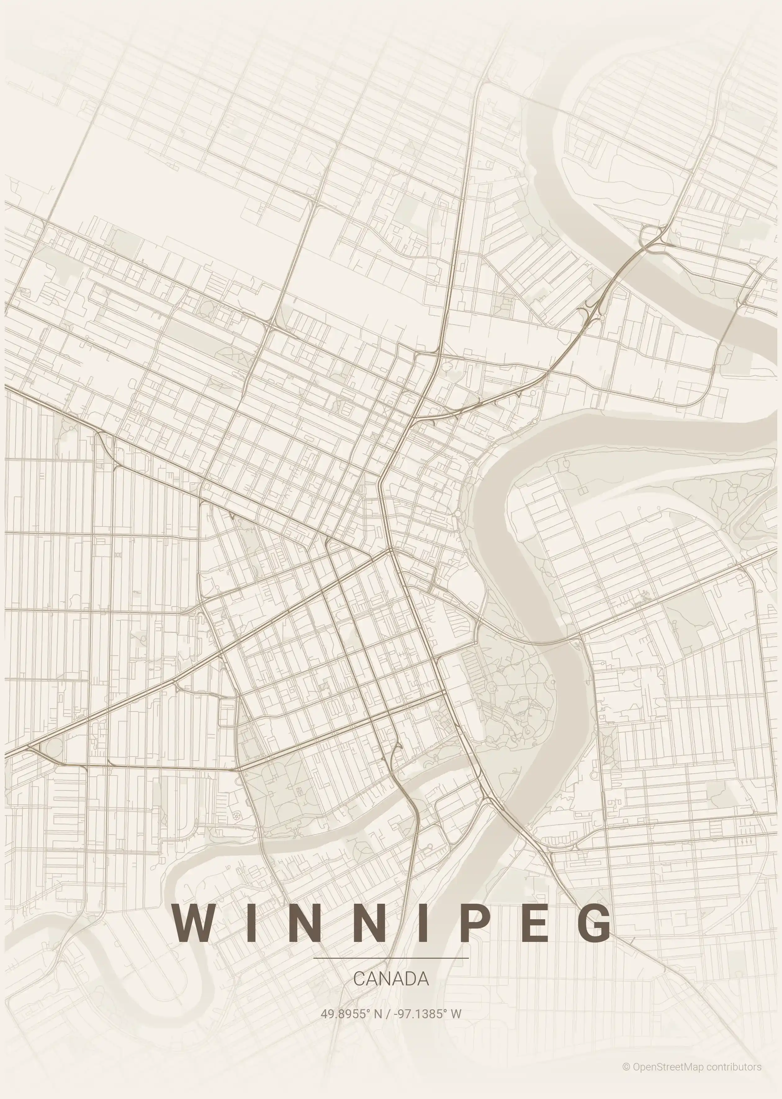
warm beige
Click to preview
sunset
Click to preview
Winnipeg Map — FAQ
Common questions about the free Winnipeg street map poster
Is the Winnipeg map poster free to download?
Yes. Every Winnipeg, Canada street map poster is 100% free to download for personal use — no signup, no email, and no watermark. Download as many themes as you like.
What does the Winnipeg map show?
It's a minimalist street map of Winnipeg — a clean outline of the city's real street network, including the the Exchange District and landmarks such as the Red River, the Assiniboine River, The Forks. It works as both decorative wall art and a stylised reference map of Winnipeg.
What size can I print the Winnipeg map at?
The file is high-resolution and prints crisp at sizes up to roughly A1 (24×36 in / 60×90 cm). Popular frame sizes are A3, A2, 18×24 in and 50×70 cm.
How many themes are available for Winnipeg?
Winnipeg is available in 9 artistic themes, including contrast zones, midnight blue, forest and more — same street layout, different colour palettes.
More Maps from Canada
Discover other cities in our collection
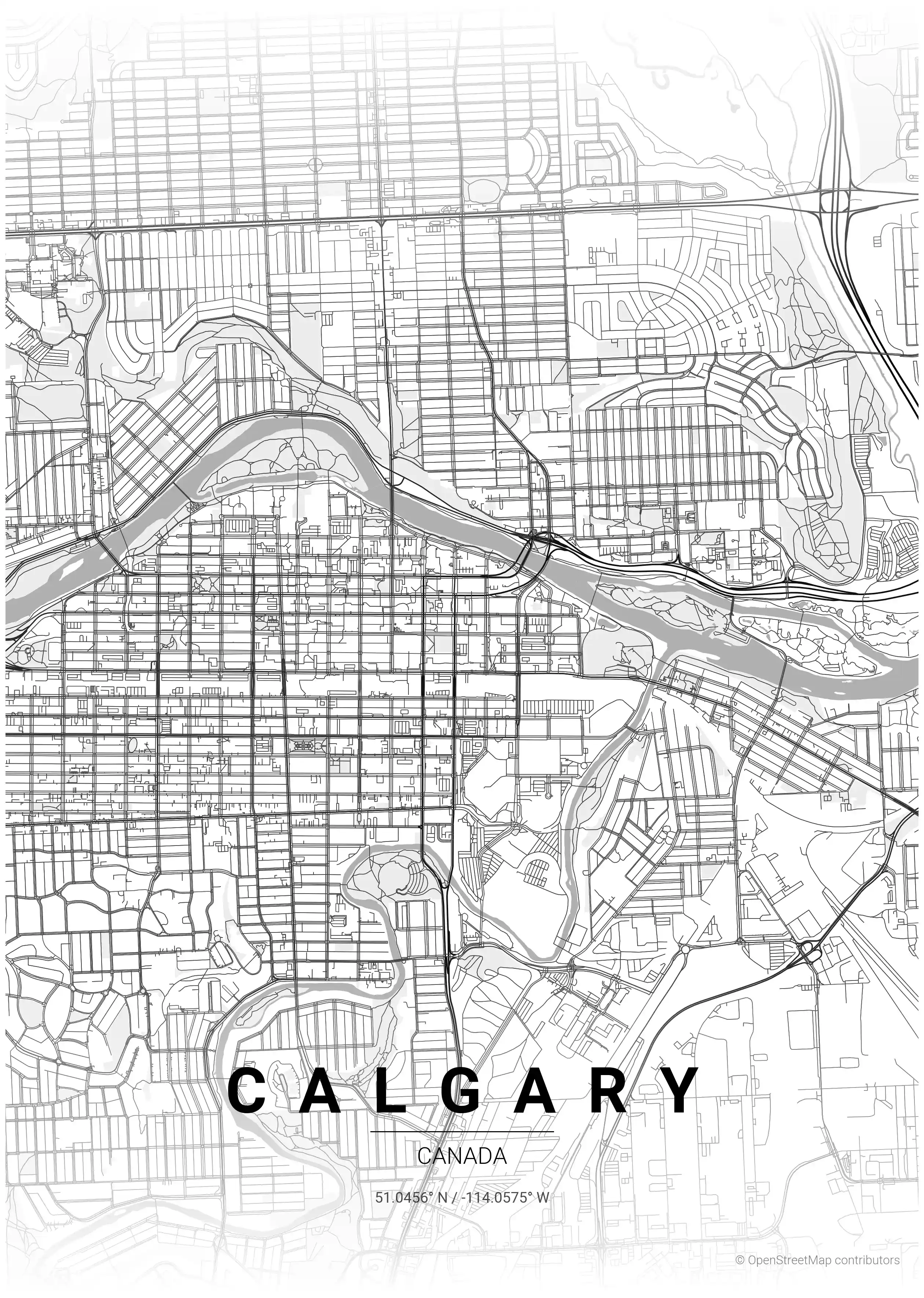
Calgary Map Poster
Discover Calgary's essence with this minimalist street map poster, showcasing its iconic skyline and urban layout. Perfect for modern interiors and urban art lovers!
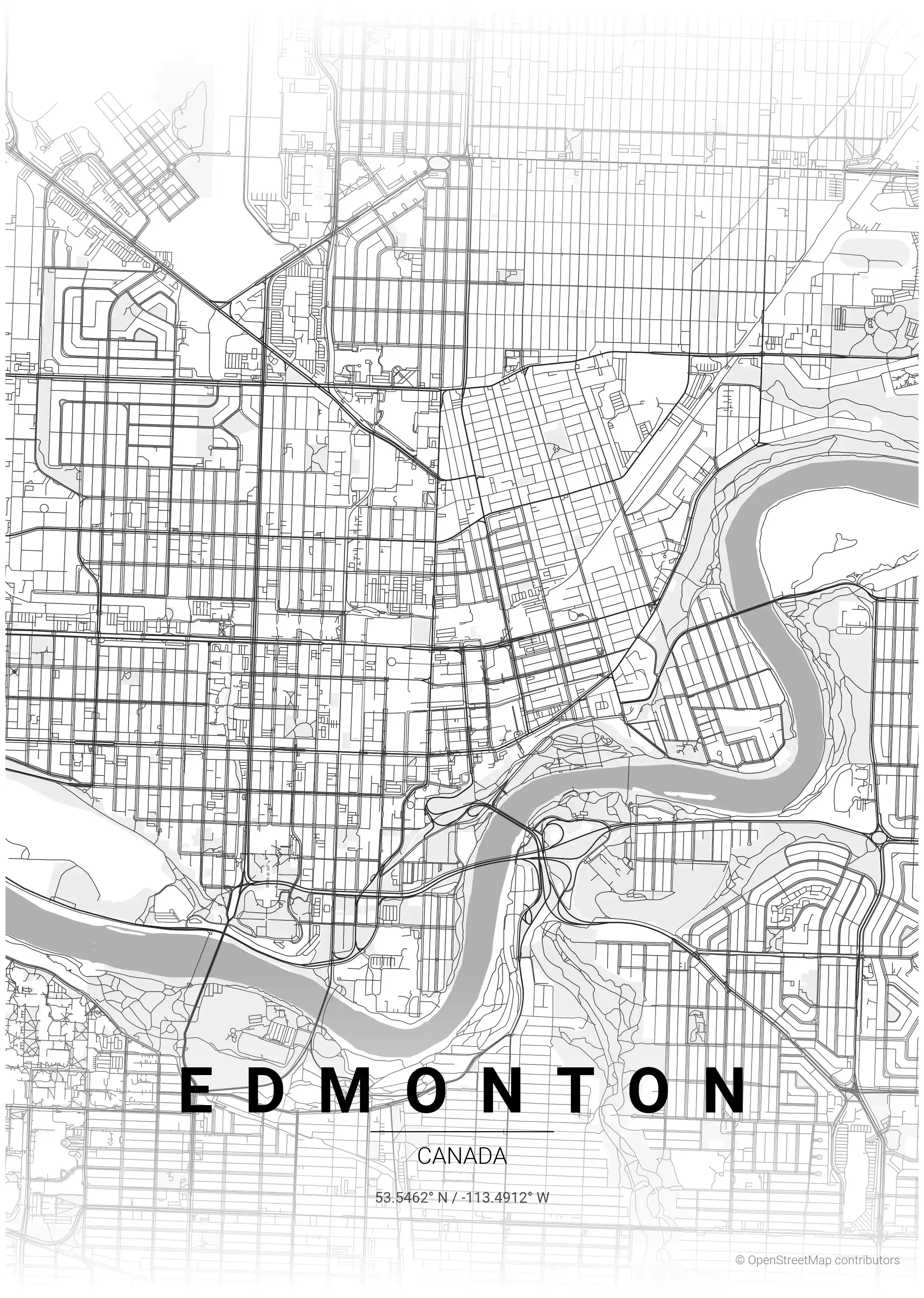
Edmonton Map Poster
Discover Edmonton's sleek street map poster, showcasing its iconic landmarks and urban layout. Perfect for modern interiors and urban art lovers, it brings stylish sophistication to any space.
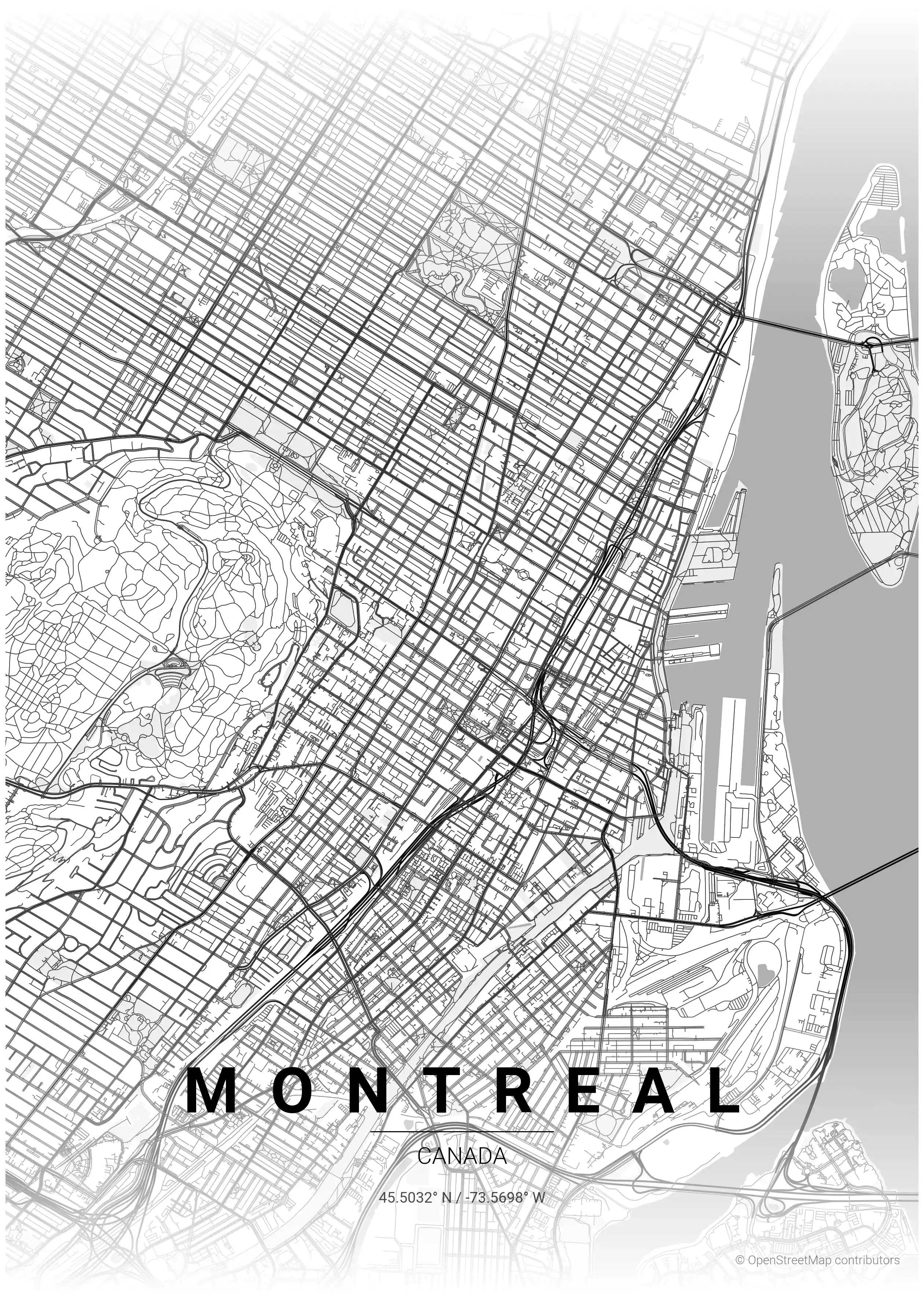
Montreal Map Poster
Discover Montreal's unique charm with this minimalist street map poster, showcasing its iconic landmarks and vibrant urban layout—perfect for modern interiors and urban art enthusiasts.
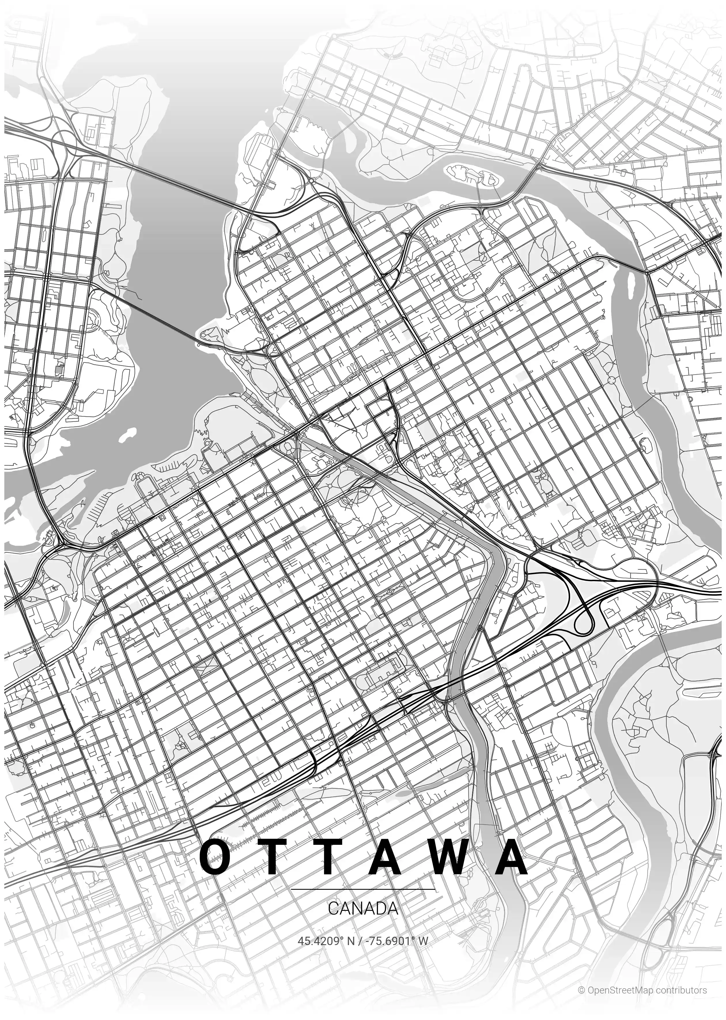
Ottawa Map Poster
Elevate your space with this minimalist street map poster of Ottawa, showcasing its iconic landmarks and urban charm. Perfect for modern interiors and art lovers!
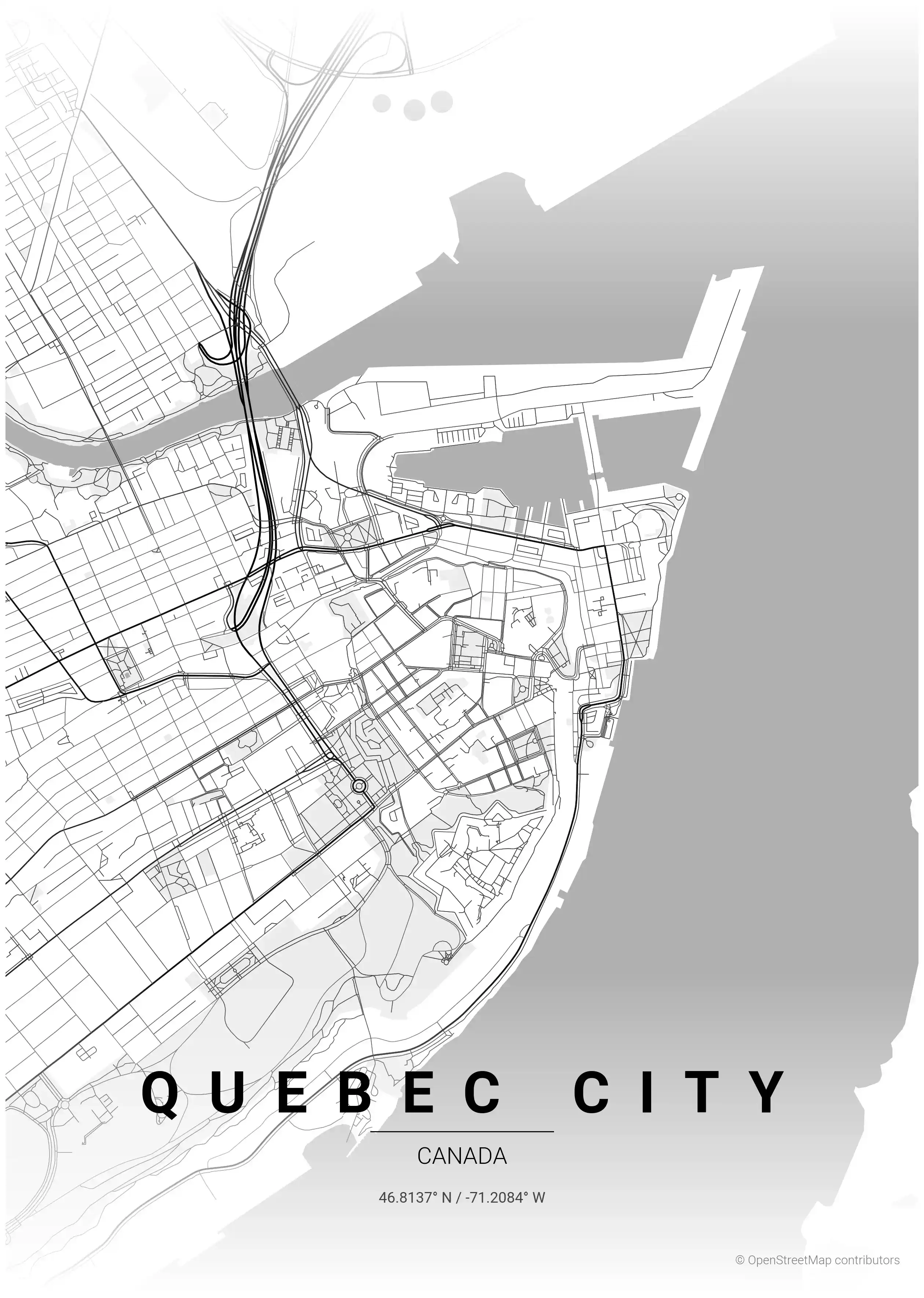
Quebec City Map Poster
Discover the beauty of Quebec City with our minimalist street map poster, showcasing iconic landmarks and a stunning street network—perfect for modern interiors and urban art lovers.
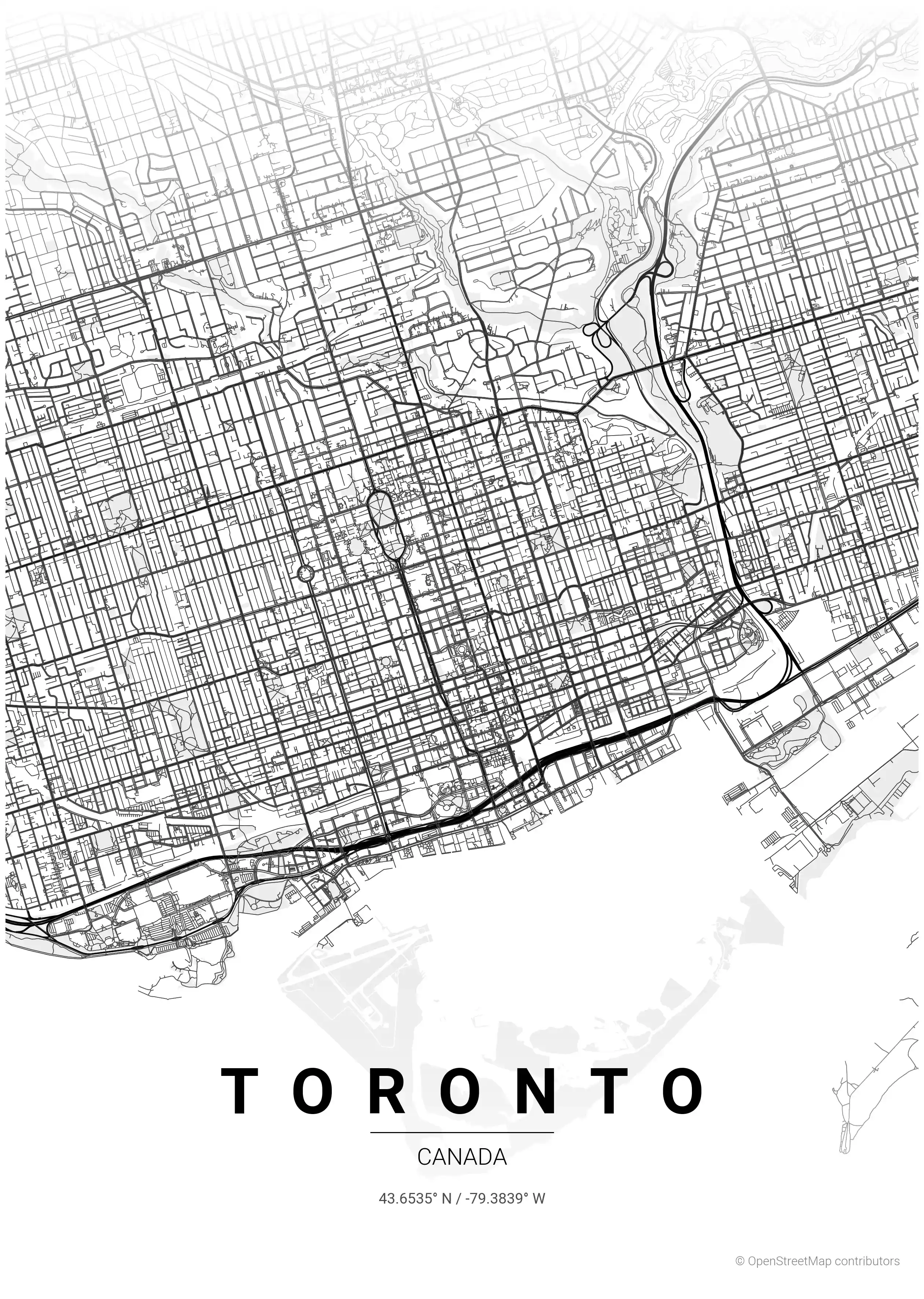
Toronto Map Poster
Discover the beauty of Toronto with our minimalist street map poster, showcasing its iconic skyline and vibrant neighborhoods. Perfect for modern interiors and urban art lovers!