Copenhagen Street Map Poster
Free printable Denmark city map & outline — contrast zones theme
Free high-resolution downloads. Print anywhere you like.
Digital Download
Free
High-resolution digital file
What You Get
- High-resolution WebP file
- Optimized for any print size
- Multiple artistic themes
- Free for personal use
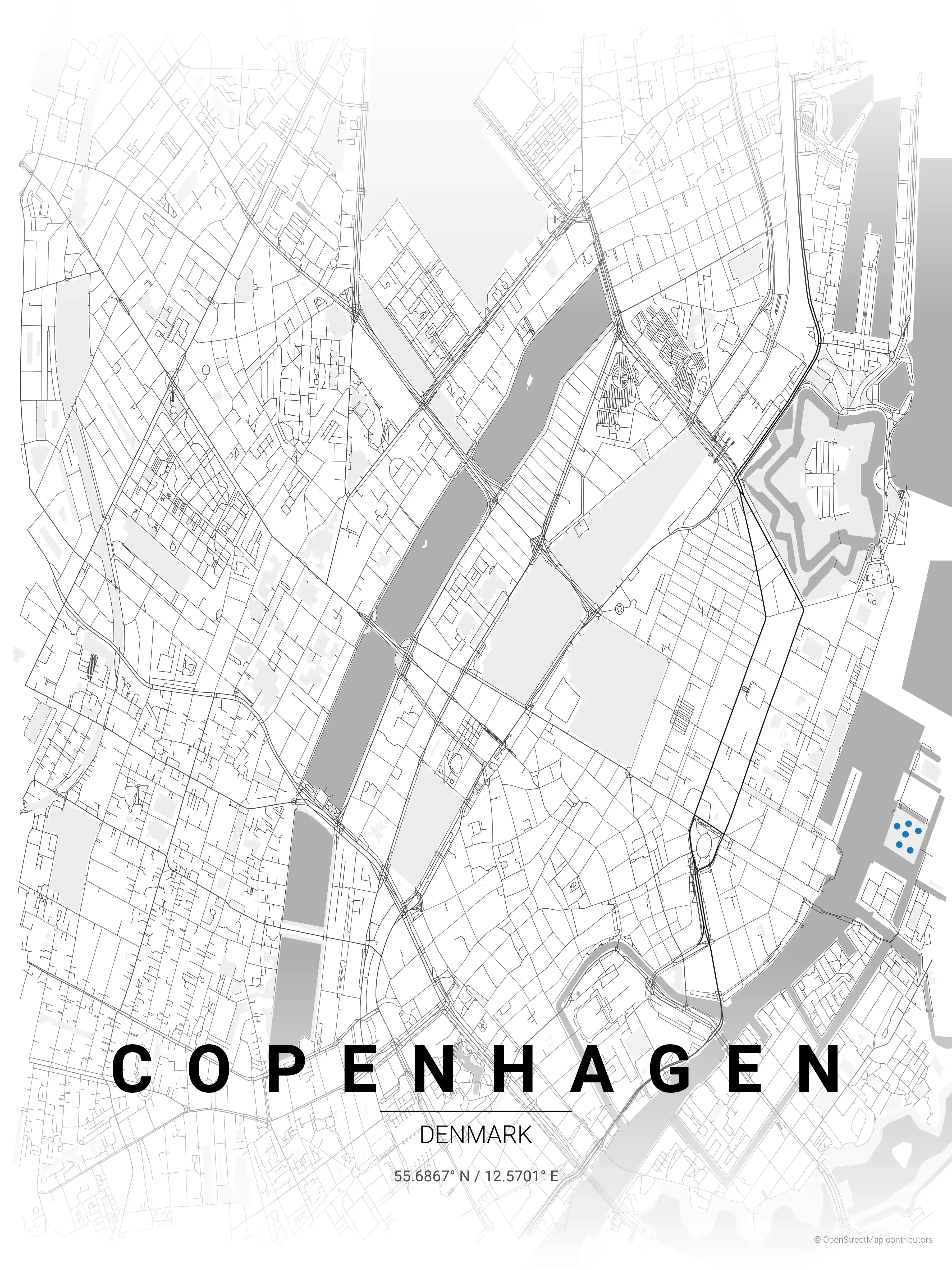
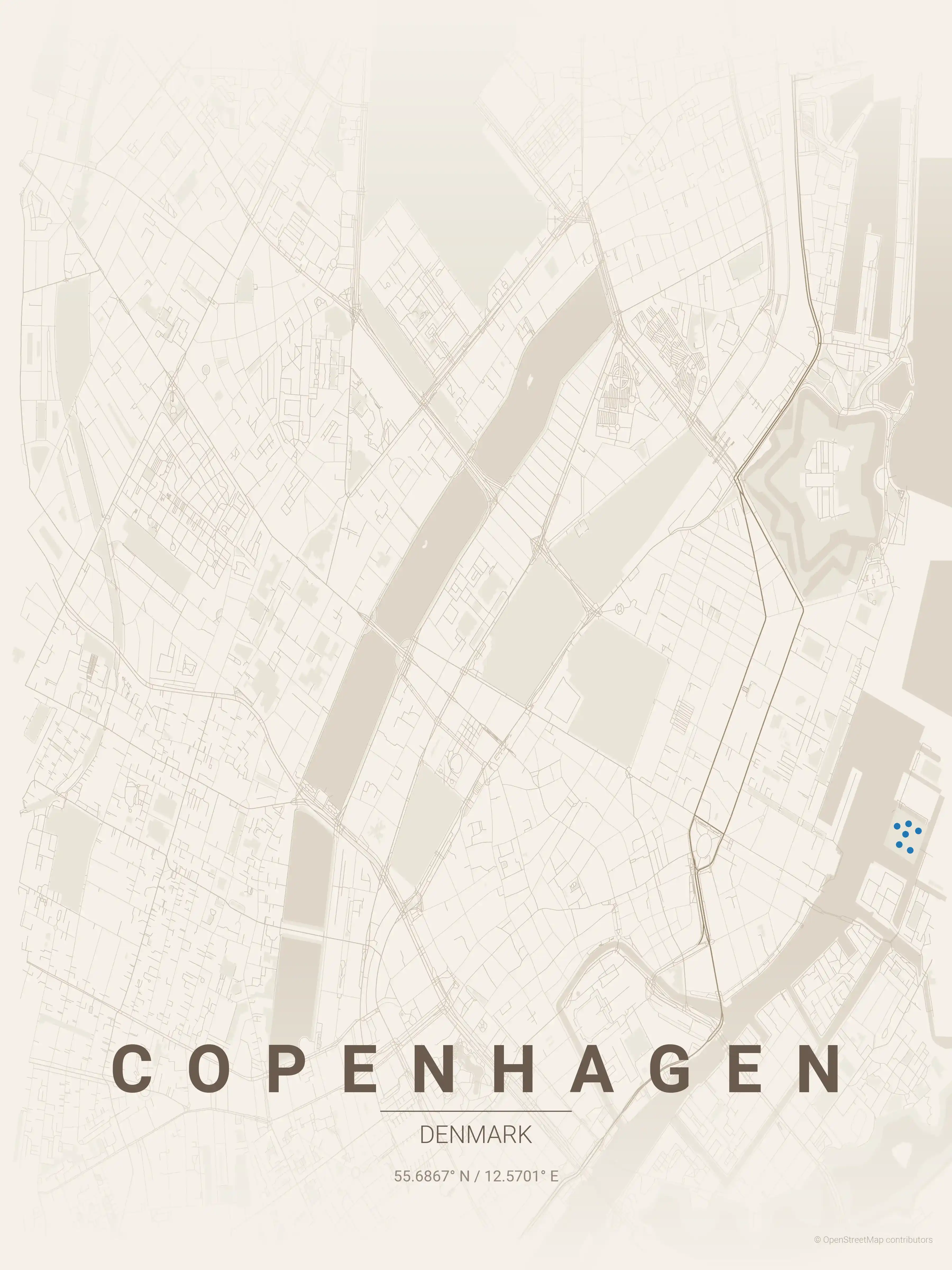
Free Printable Copenhagen Street Map
This is a detailed, minimalist street map of Copenhagen, covering the Indre By medieval centre in Denmark, with landmarks such as Nyhavn, Strøget, the harbour. Download it free as a high-resolution, print-ready file — equally at home as framed wall art or a clean reference street map and city outline of Copenhagen.
Also known as: kort over København · Stadtplan Kopenhagen · Stadtplan Kopenhagen zum Ausdrucken
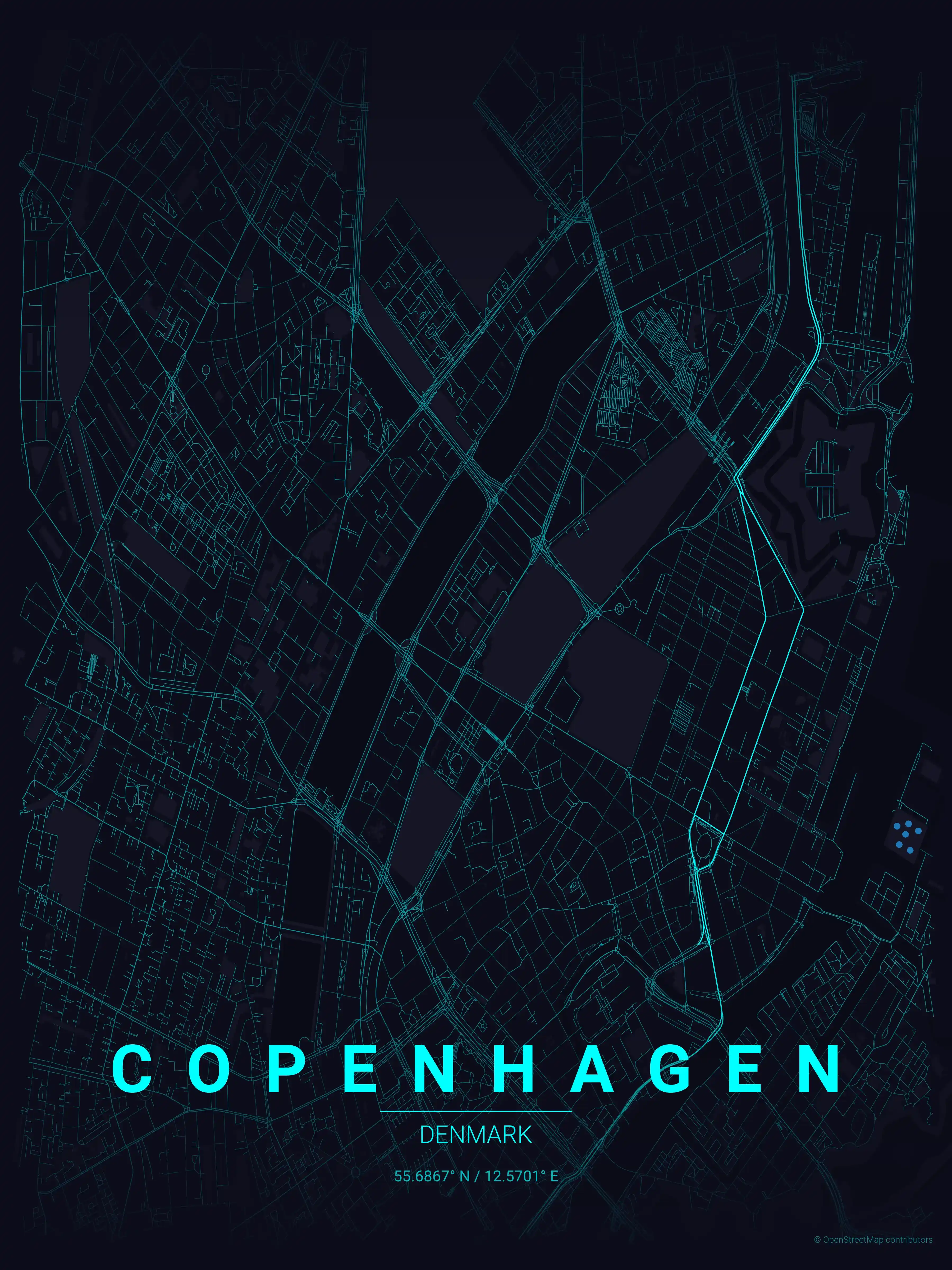
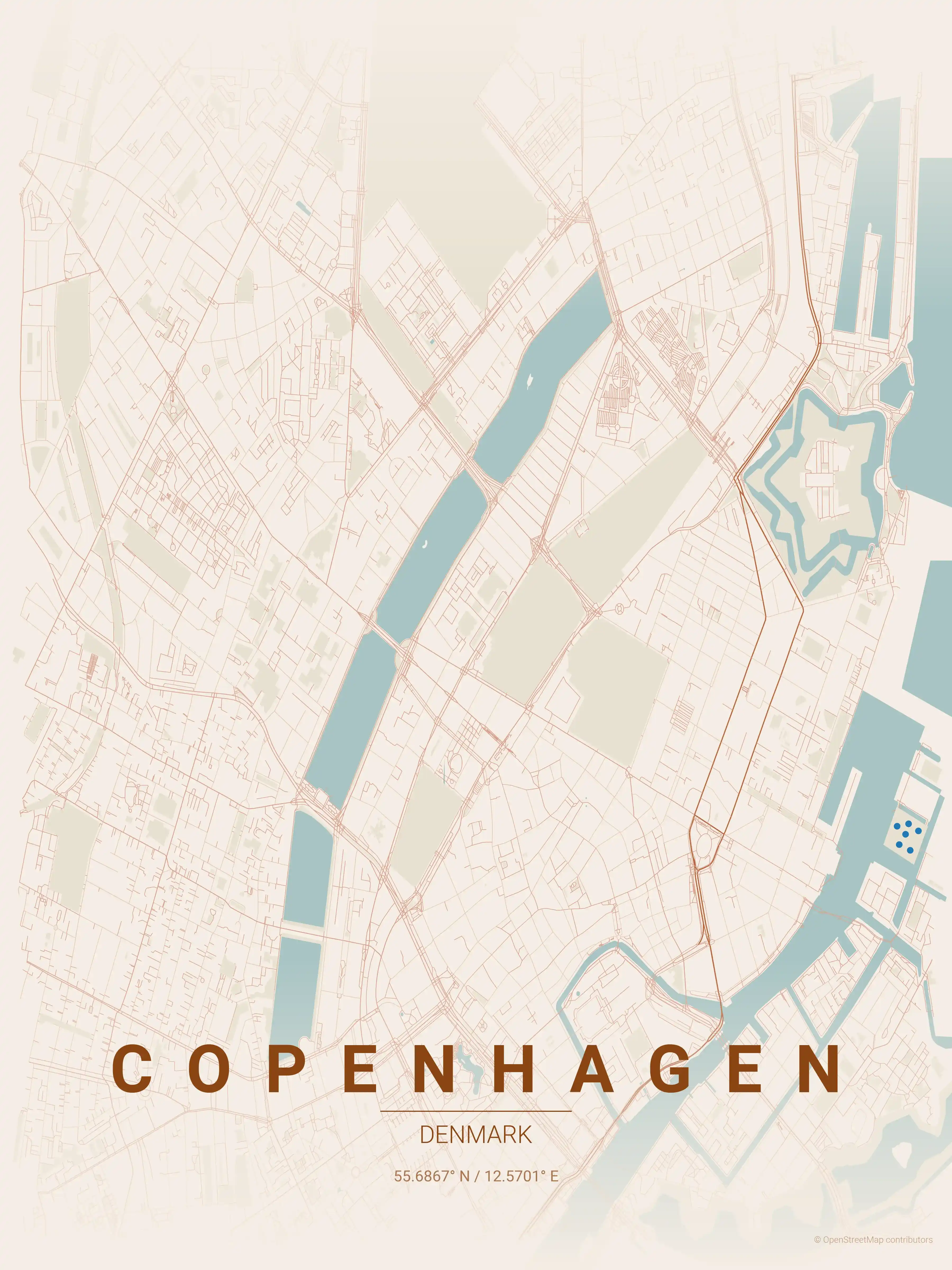
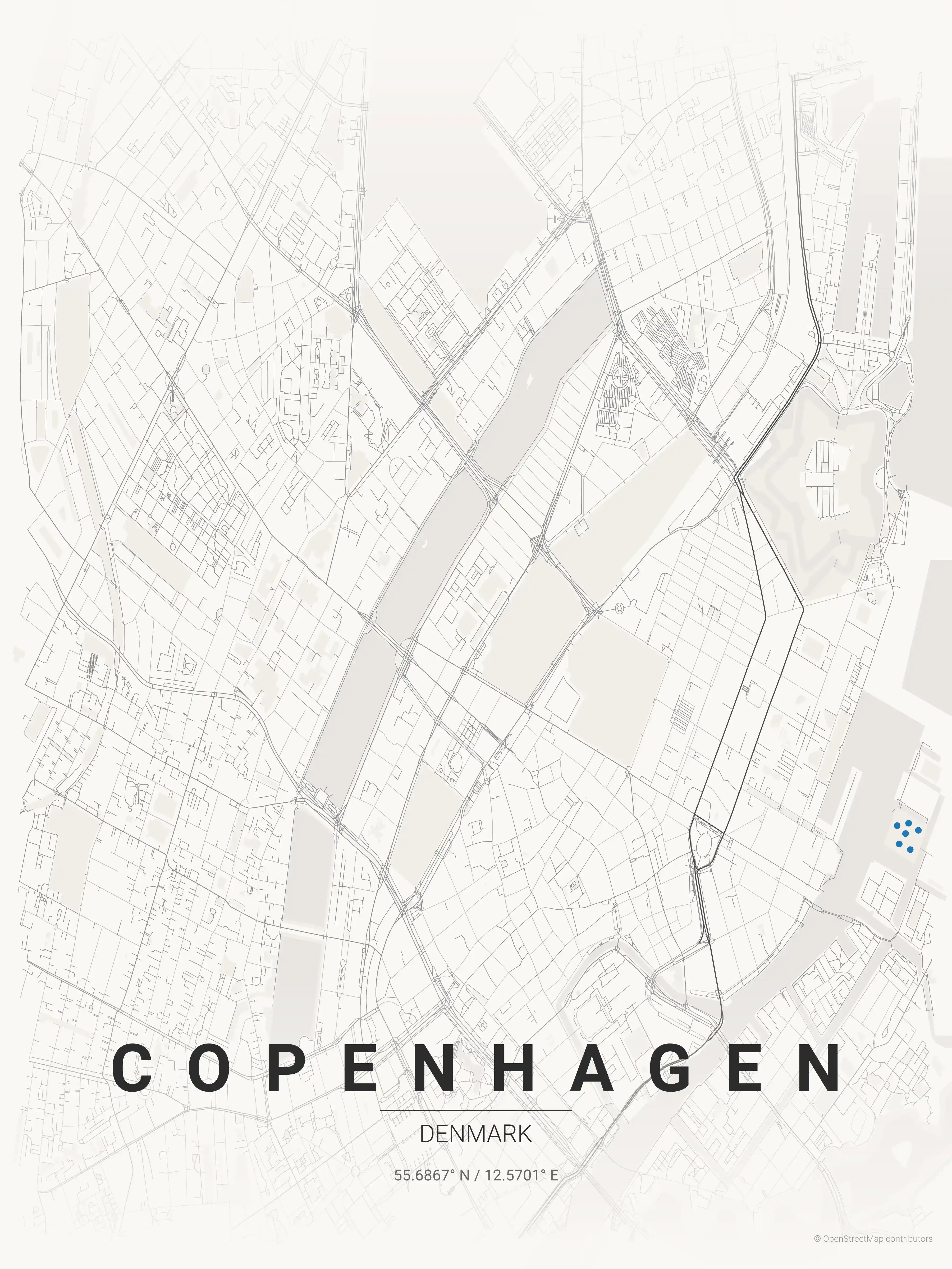
About the Copenhagen Map Poster
Trace the Danish capital line by line and Copenhagen’s geography comes alive: the curving harbour, the colour-fronted quay of Nyhavn, and the long pedestrian spine of Strøget cutting through the centre. This street map poster also picks out the three connected Lakes — Sankt Jørgens, Peblinge and Sortedams Sø — that arc around the old city like a green moat, with Rosenborg Castle and its gardens just inside them.
At the heart of the map sits the Indre By medieval centre, a tangle of narrow lanes radiating from squares such as Kongens Nytorv. Around it the wedge-shaped districts of the Finger Plan spread outward, while the former barracks of Christiania and the bar-lined streets of Vesterbro give the city map its distinctive, irregular texture. The waterway separating Copenhagen from the island of Amager reads clearly too.
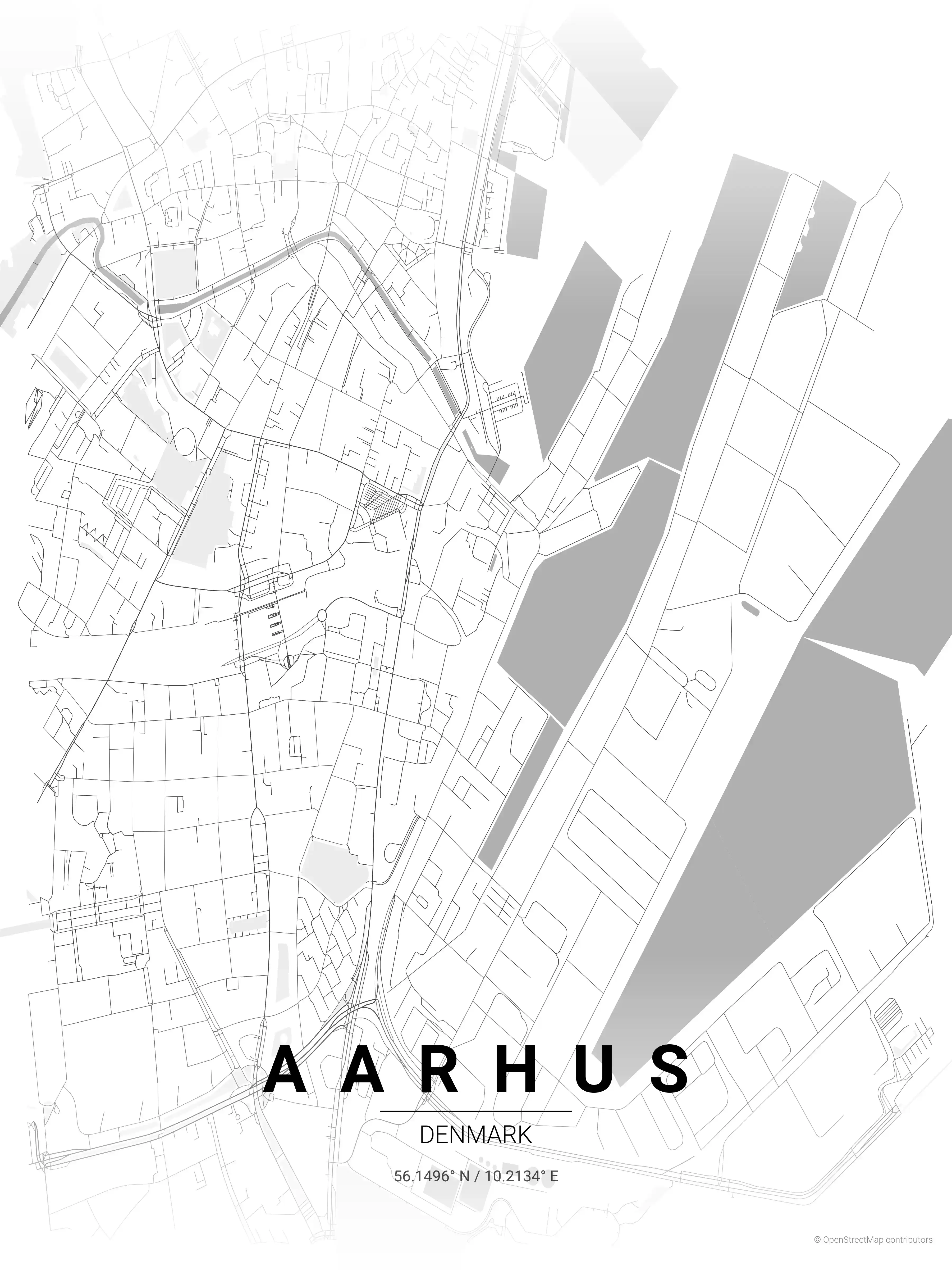
Printed large, this city map turns Copenhagen’s bicycle boulevards and canal grids into quiet graphic wall art. For a contrasting Jutland layout see our Aarhus map poster, or browse other Denmark city maps for more printable street map posters in the same minimalist style.
How to Print Your Copenhagen Map
Download the high-resolution file and print it at home, through an online print service (Printful, Printify, Shutterfly, Vistaprint), or at a local print shop. The Copenhagen street map prints crisp at sizes up to roughly A1 (24×36 in / 60×90 cm).
- · Popular frame sizes: A3, A2, 18×24 in, 50×70 cm
- · Portrait 3:4 aspect ratio — fits standard poster frames
- · No watermark · no attribution required for personal use
File Information
What's Included
- High-resolution file optimized for professional printing
- Instant download – no registration or account needed
- Print as many times as you like for personal use
- Clean design with no watermarks or attribution required
Theme Collection
Explore all available aesthetic variations
contrast zones
Click to preview
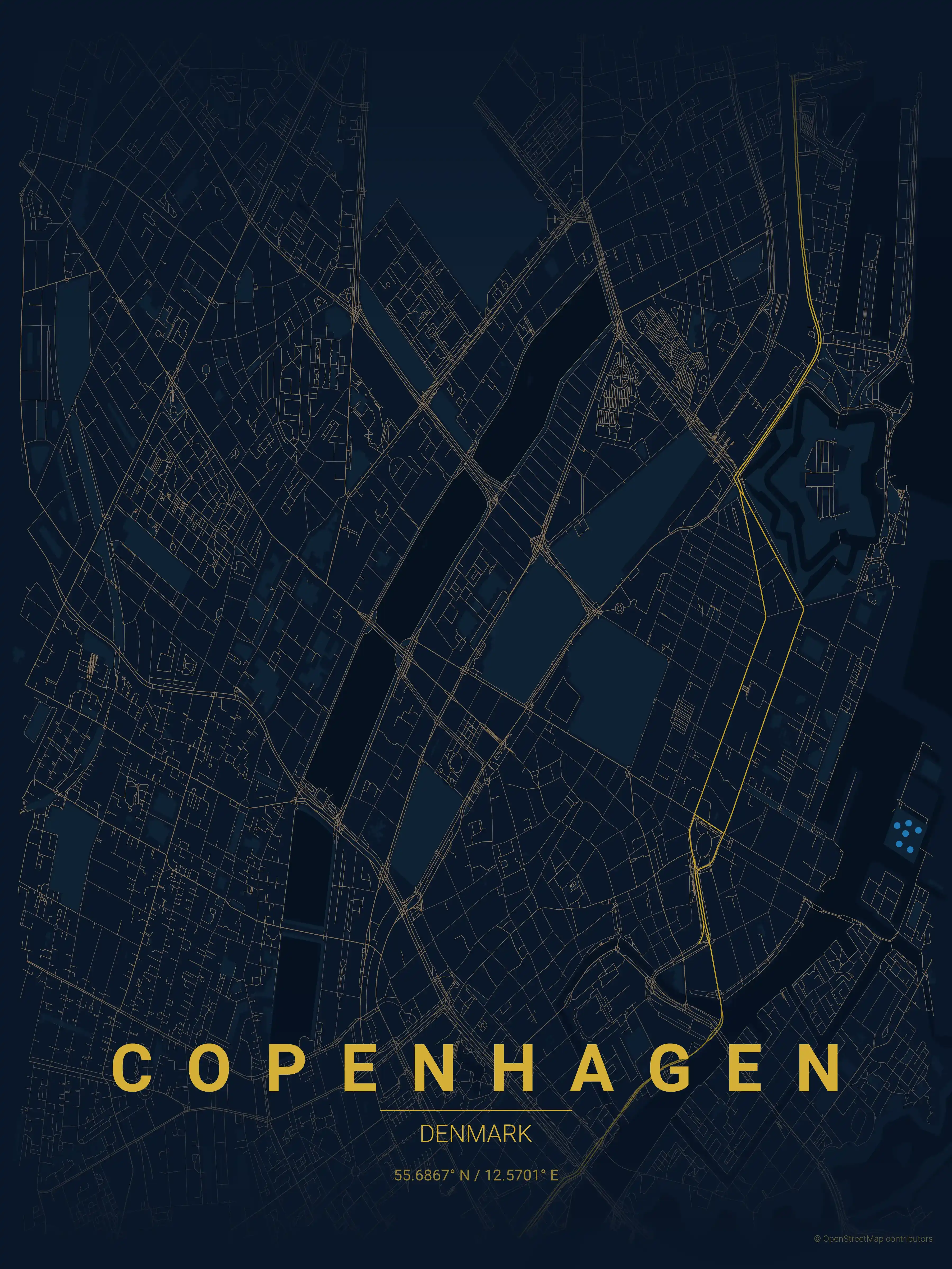
midnight blue
Click to preview
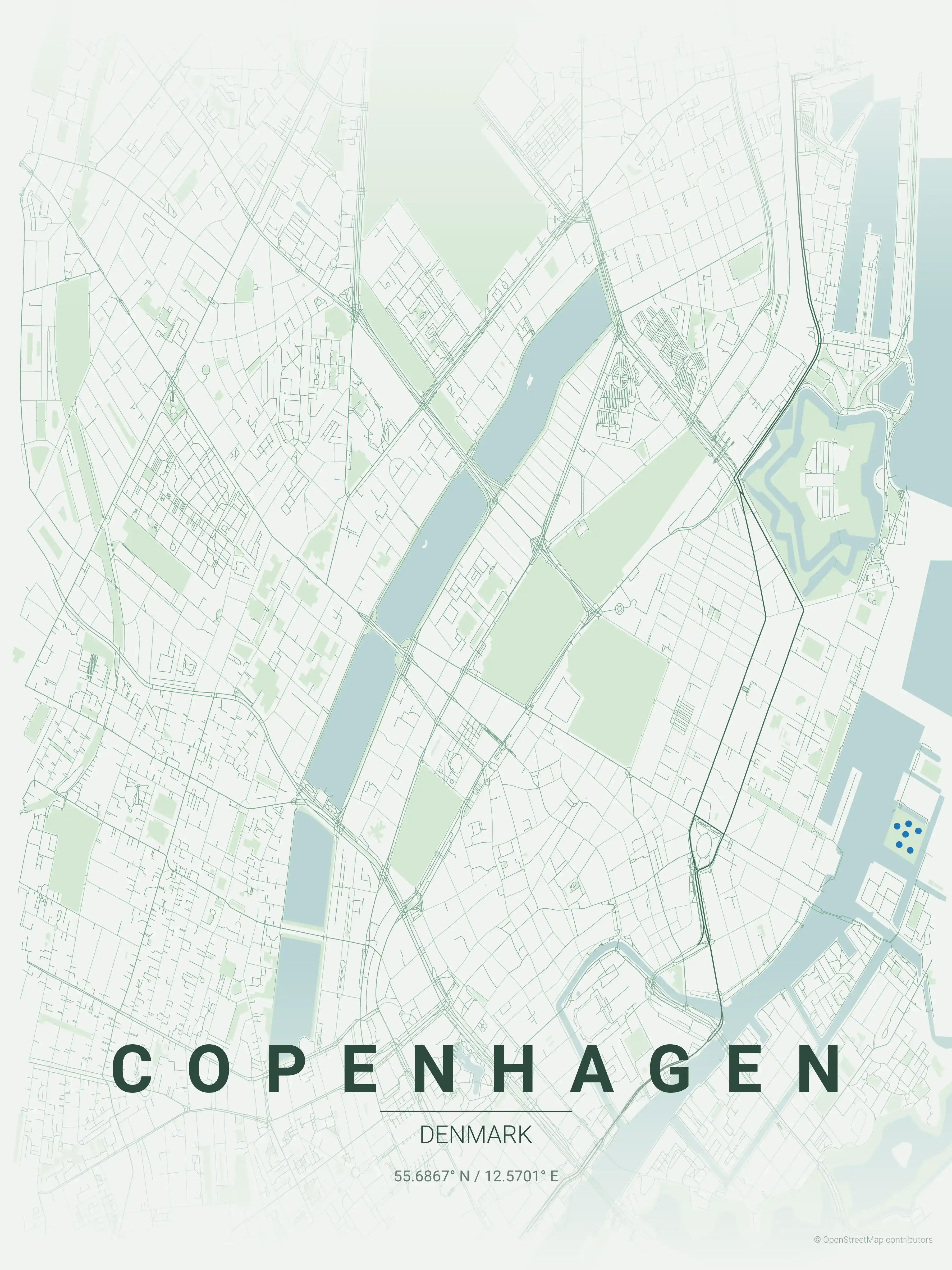
forest
Click to preview
neon cyberpunk
Click to preview
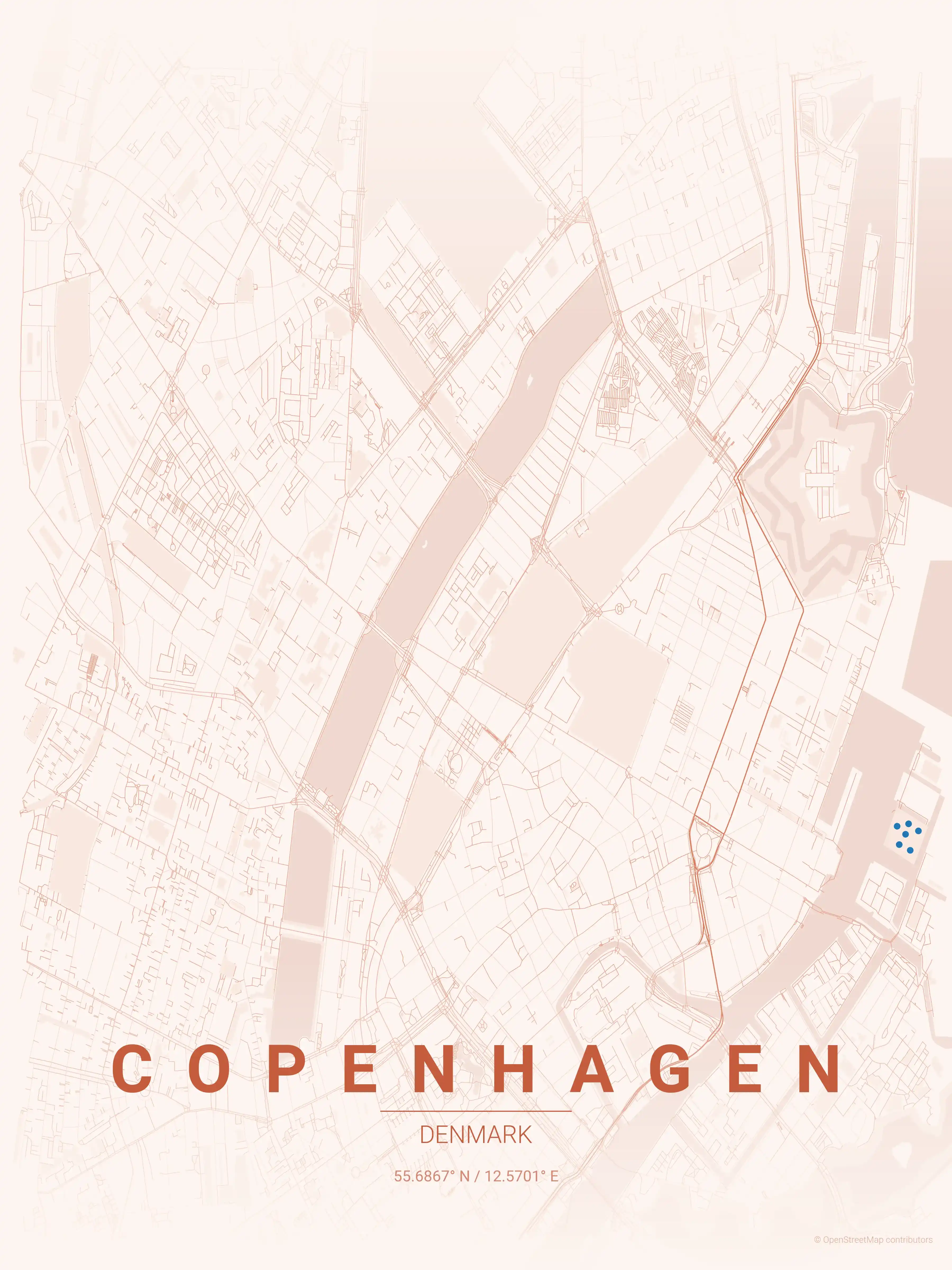
terracotta
Click to preview
japanese ink
Click to preview
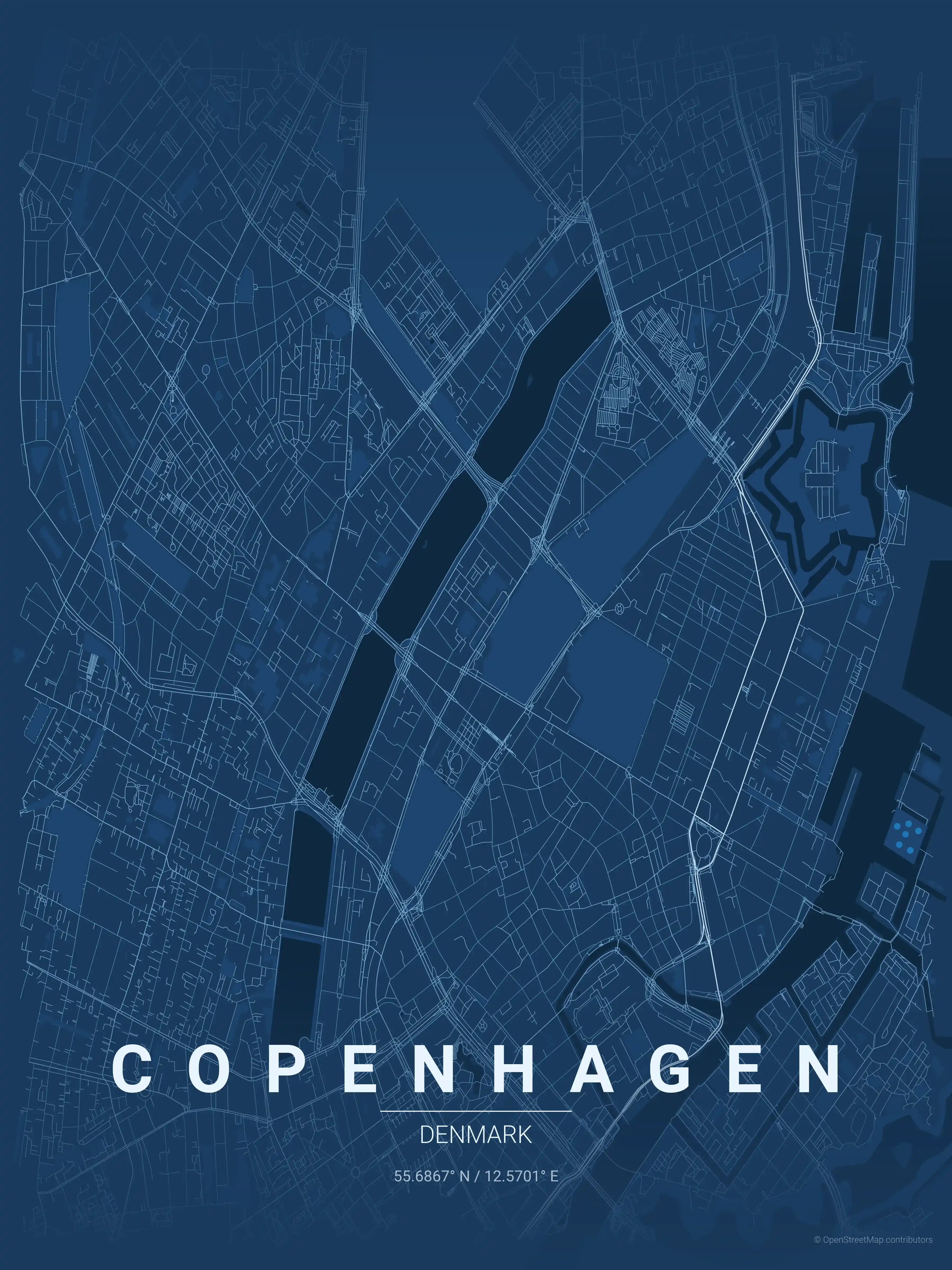
blueprint
Click to preview
warm beige
Click to preview
sunset
Click to preview
Copenhagen Map — FAQ
Common questions about the free Copenhagen street map poster
Is the Copenhagen map poster free to download?
Yes. Every Copenhagen, Denmark street map poster is 100% free to download for personal use — no signup, no email, and no watermark. Download as many themes as you like.
What does the Copenhagen map show?
It's a minimalist street map of Copenhagen — a clean outline of the city's real street network, including the Indre By medieval centre and landmarks such as Nyhavn, Strøget, the harbour. It works as both decorative wall art and a stylised reference map of Copenhagen.
What size can I print the Copenhagen map at?
The file is high-resolution and prints crisp at sizes up to roughly A1 (24×36 in / 60×90 cm). Popular frame sizes are A3, A2, 18×24 in and 50×70 cm.
How many themes are available for Copenhagen?
Copenhagen is available in 9 artistic themes, including contrast zones, midnight blue, forest and more — same street layout, different colour palettes.
More Maps from Denmark
Discover other cities in our collection