Tallinn Street Map Poster
Free printable Estonia city map & outline — contrast zones theme
Free high-resolution downloads. Print anywhere you like.
Digital Download
Free
High-resolution digital file
What You Get
- High-resolution WebP file
- Optimized for any print size
- Multiple artistic themes
- Free for personal use
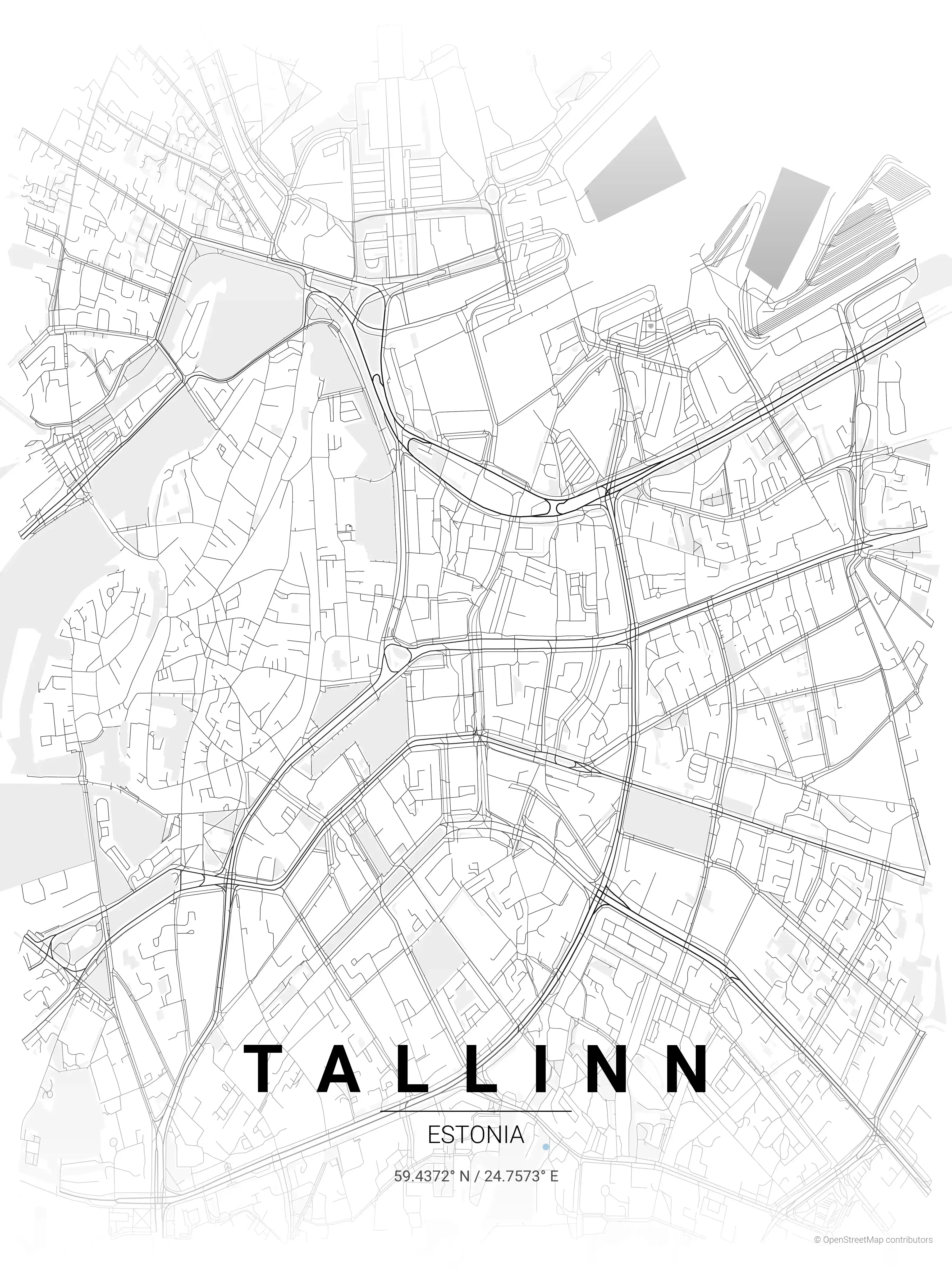
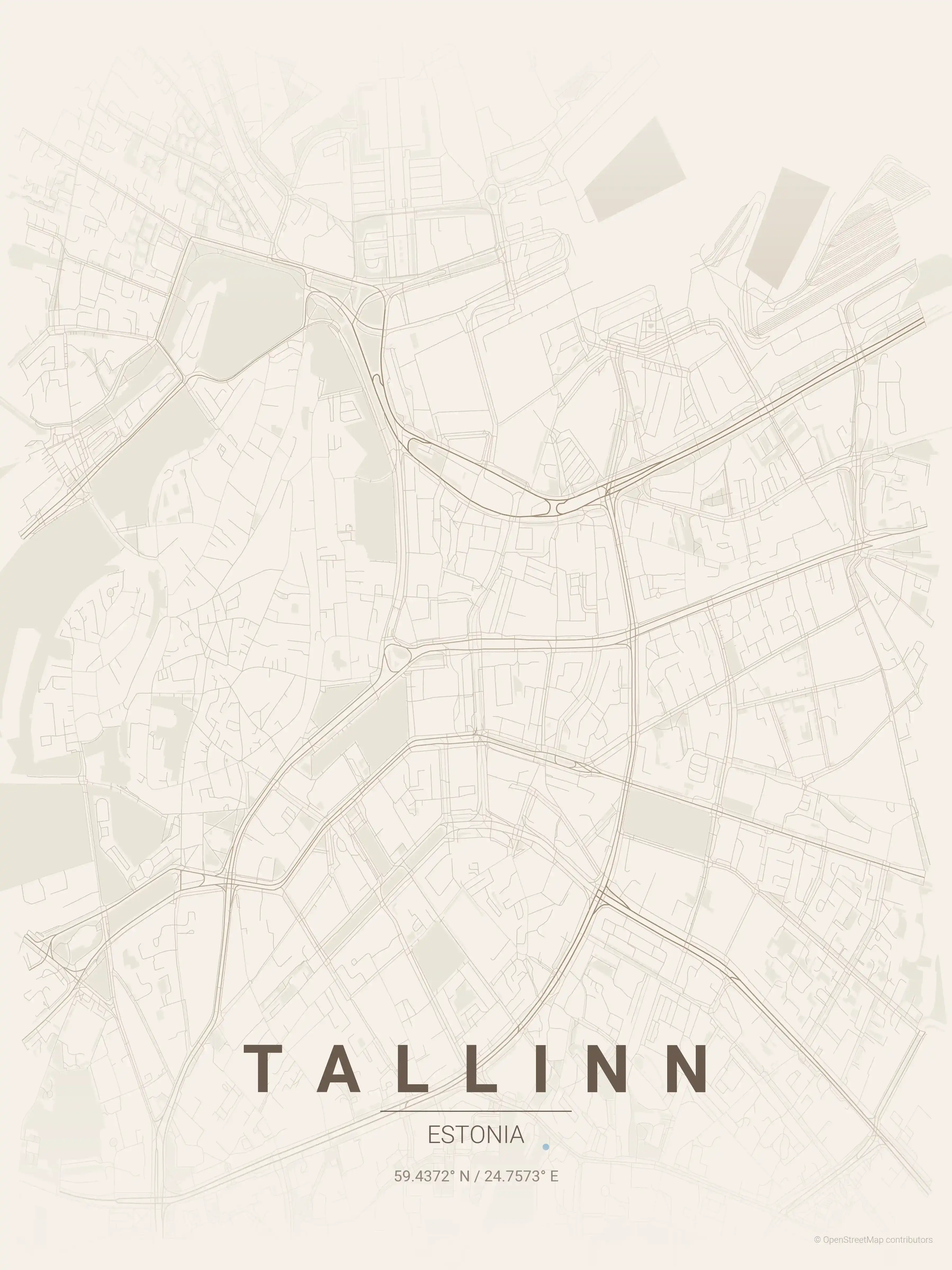
Free Printable Tallinn Street Map
This is a detailed, minimalist street map of Tallinn, covering the Vanalinn old town in Estonia, with landmarks such as the Old Town (Vanalinn), Toompea Castle, Town Hall Square (Raekoja plats). Download it free as a high-resolution, print-ready file — equally at home as framed wall art or a clean reference street map and city outline of Tallinn.
Also known as: Tallinna kaart · Tallinna linnakaart · Tallinna kaart väljaprintimiseks
About the Tallinn Map Poster
Few European capitals read as clearly on a map as Tallinn. At the centre sits the UNESCO-listed Vanalinn old town, where the medieval lanes converge on Town Hall Square (Raekoja plats) and climb the limestone bluff of Toompea, crowned by the onion domes of Alexander Nevsky Cathedral and Toompea Castle. This street map traces the ring of surviving city walls and towers, then follows ancient Pikk street as it runs down toward the harbour on the Gulf of Finland.
Beyond the walls, the city map opens onto wider districts: the wooden houses and converted factories of bohemian Kalamaja, the busy avenues of the modern centre, and the green sweep toward Kadriorg park. Rendered as a minimalist poster, those contrasting eras — medieval core, Soviet-era blocks, new tech quarters — stack into a single layered design.
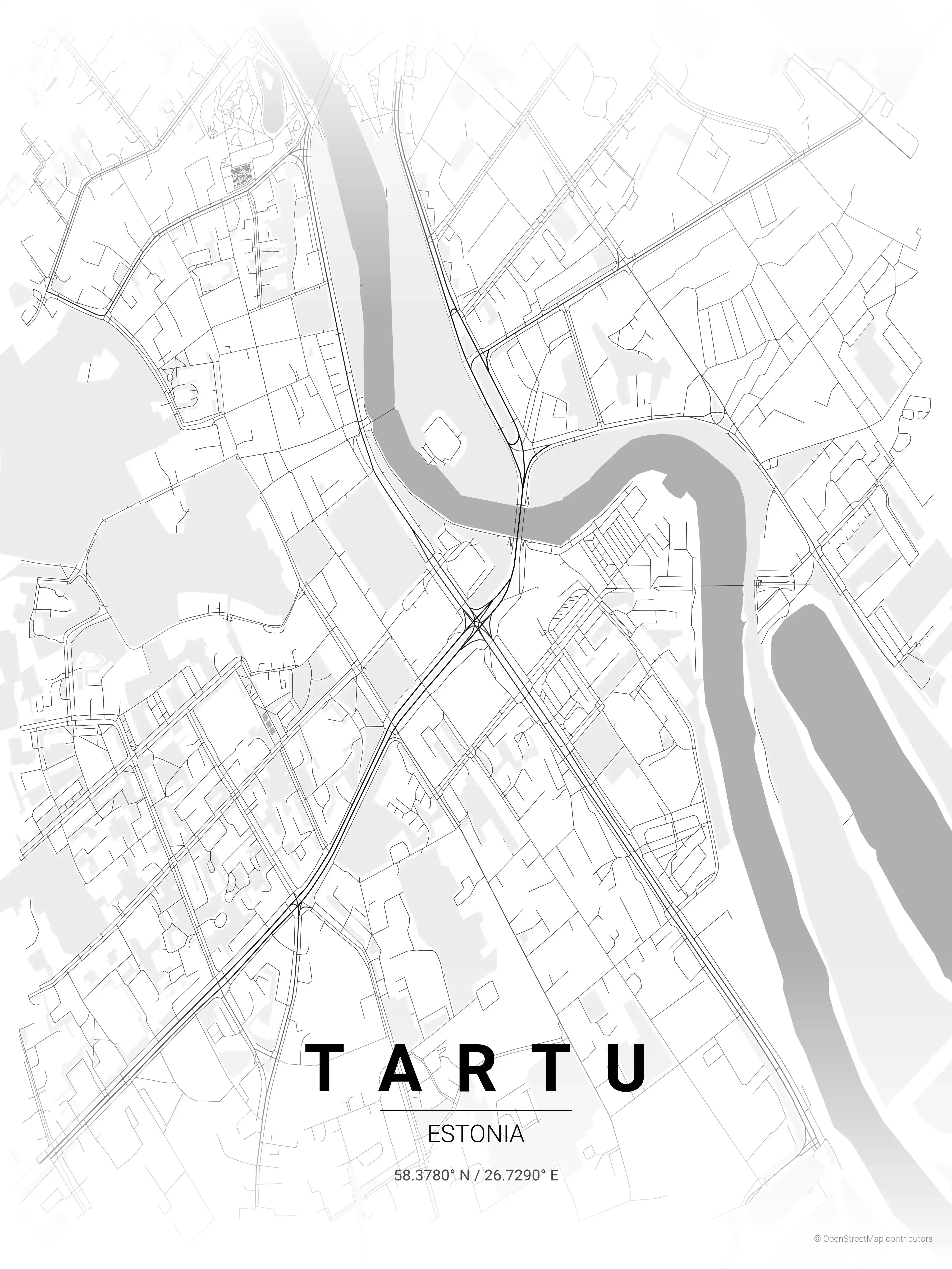
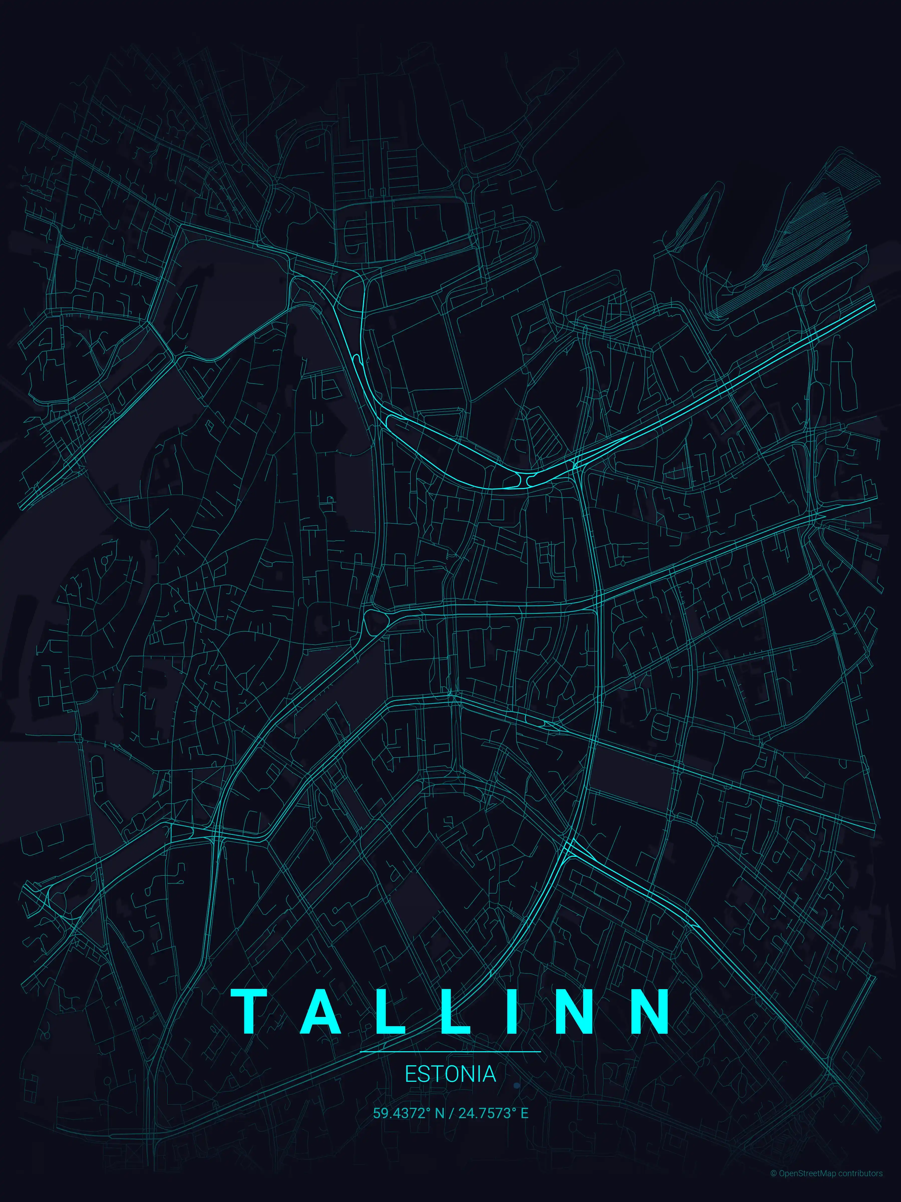
This printable Estonia poster is a clean piece of wall art for anyone with a Tallinn connection. Download it in nine themes, with the midnight blue palette especially suited to the city’s northern light. Explore other Estonia city maps or pair it with our Tartu map poster.
How to Print Your Tallinn Map
Download the high-resolution file and print it at home, through an online print service (Printful, Printify, Shutterfly, Vistaprint), or at a local print shop. The Tallinn street map prints crisp at sizes up to roughly A1 (24×36 in / 60×90 cm).
- · Popular frame sizes: A3, A2, 18×24 in, 50×70 cm
- · Portrait 3:4 aspect ratio — fits standard poster frames
- · No watermark · no attribution required for personal use
File Information
What's Included
- High-resolution file optimized for professional printing
- Instant download – no registration or account needed
- Print as many times as you like for personal use
- Clean design with no watermarks or attribution required
Theme Collection
Explore all available aesthetic variations
contrast zones
Click to preview
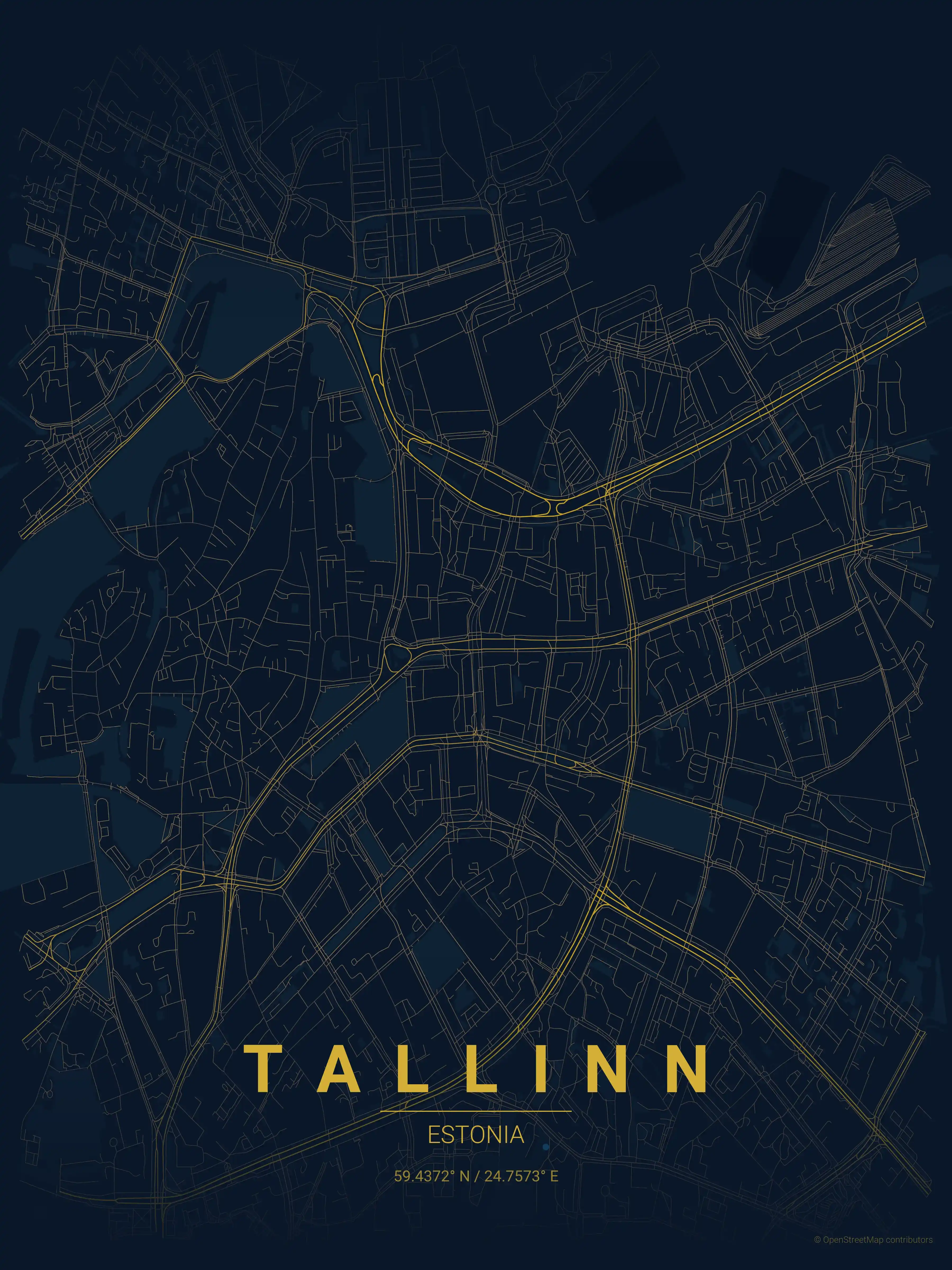
midnight blue
Click to preview
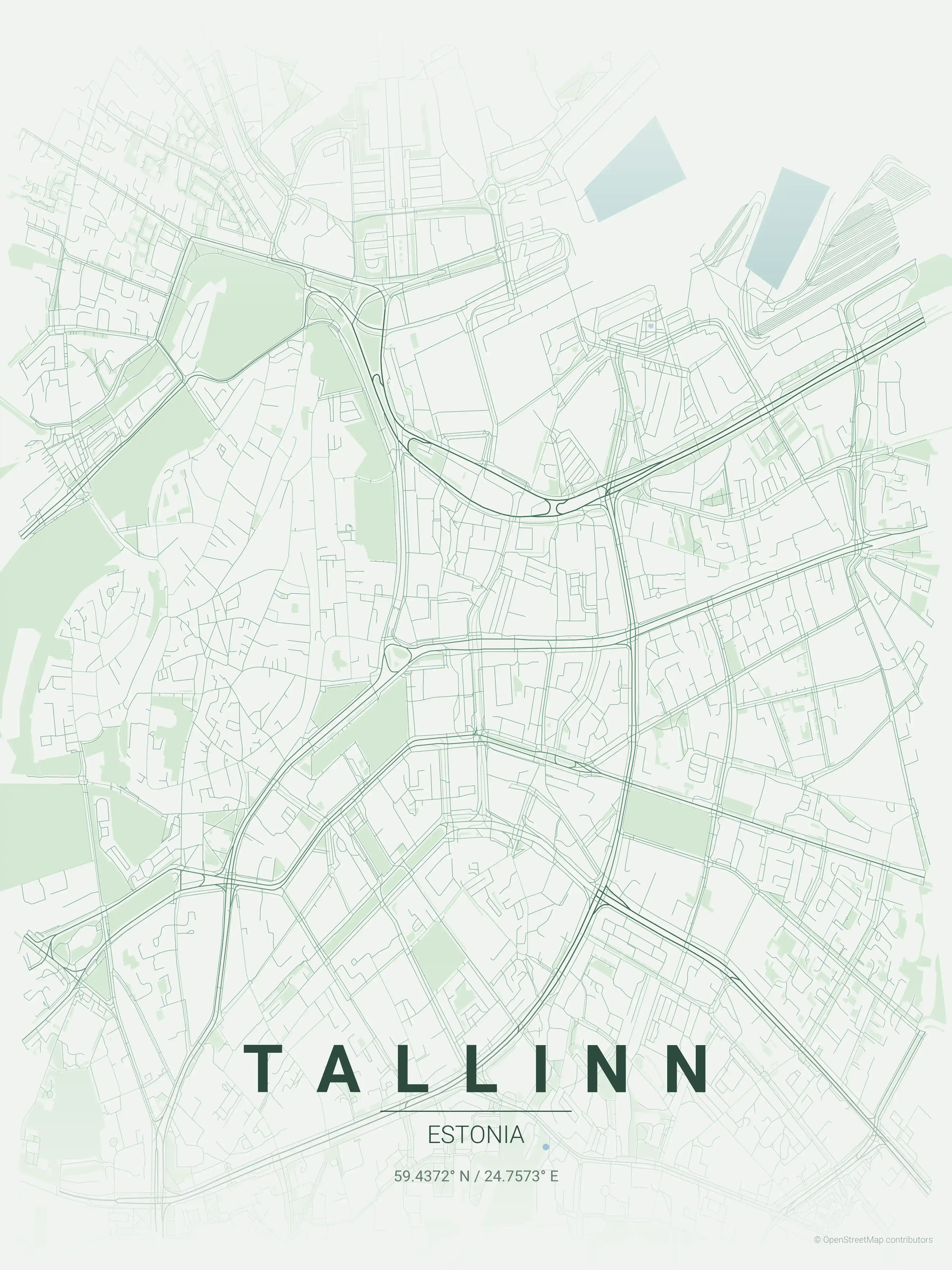
forest
Click to preview
neon cyberpunk
Click to preview
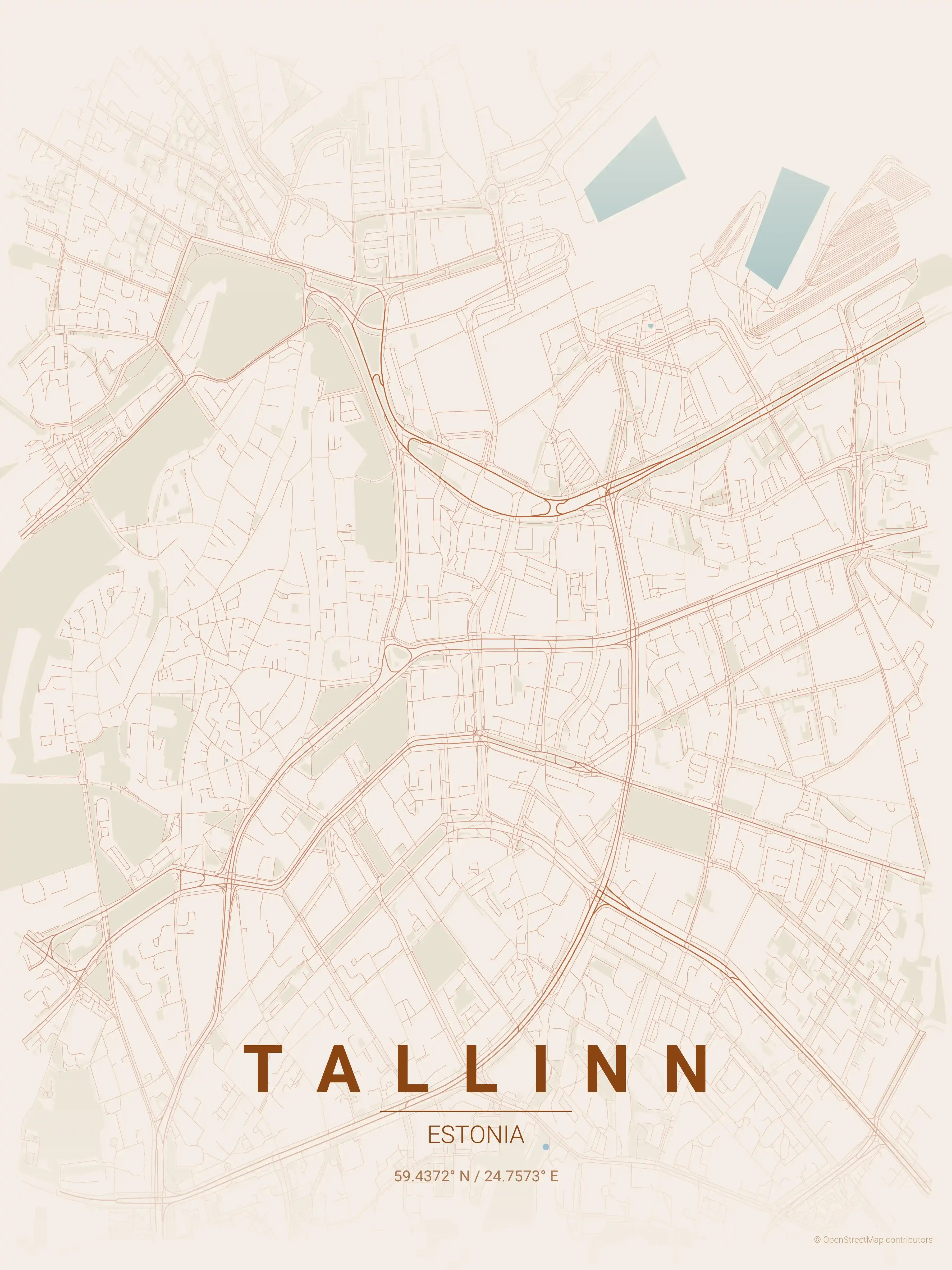
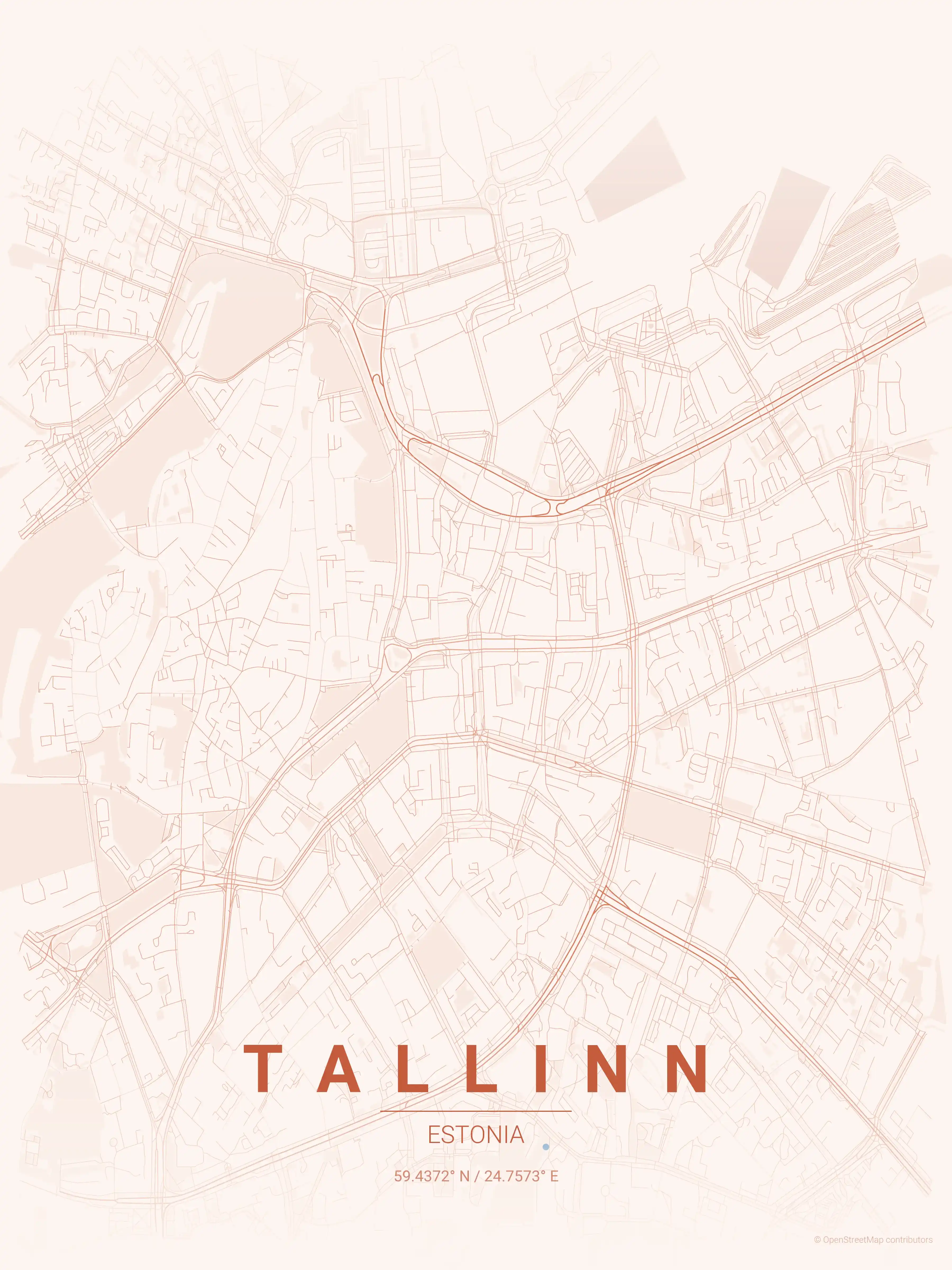
terracotta
Click to preview
japanese ink
Click to preview
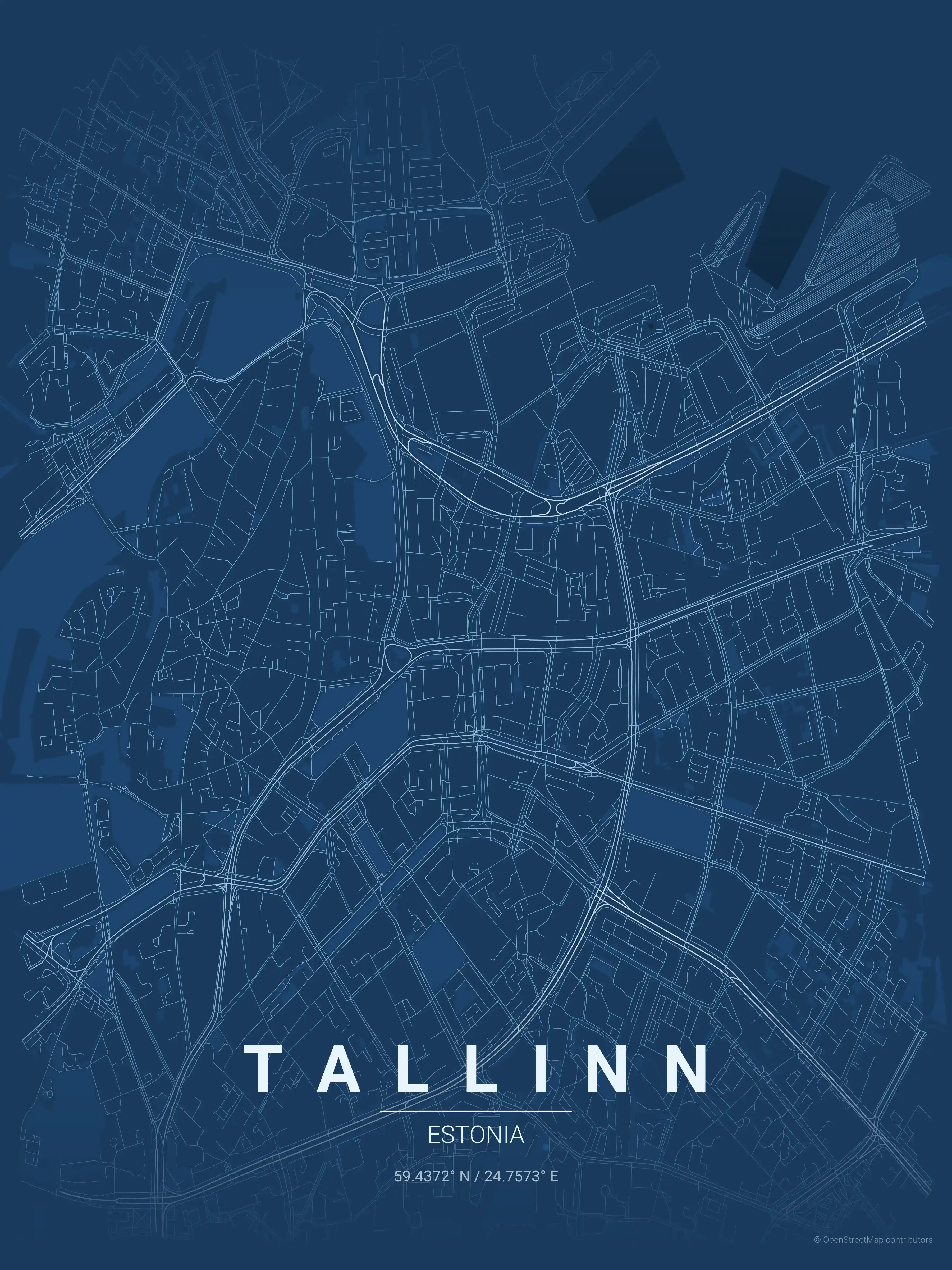
blueprint
Click to preview
warm beige
Click to preview
sunset
Click to preview
Tallinn Map — FAQ
Common questions about the free Tallinn street map poster
Is the Tallinn map poster free to download?
Yes. Every Tallinn, Estonia street map poster is 100% free to download for personal use — no signup, no email, and no watermark. Download as many themes as you like.
What does the Tallinn map show?
It's a minimalist street map of Tallinn — a clean outline of the city's real street network, including the Vanalinn old town and landmarks such as the Old Town (Vanalinn), Toompea Castle, Town Hall Square (Raekoja plats). It works as both decorative wall art and a stylised reference map of Tallinn.
What size can I print the Tallinn map at?
The file is high-resolution and prints crisp at sizes up to roughly A1 (24×36 in / 60×90 cm). Popular frame sizes are A3, A2, 18×24 in and 50×70 cm.
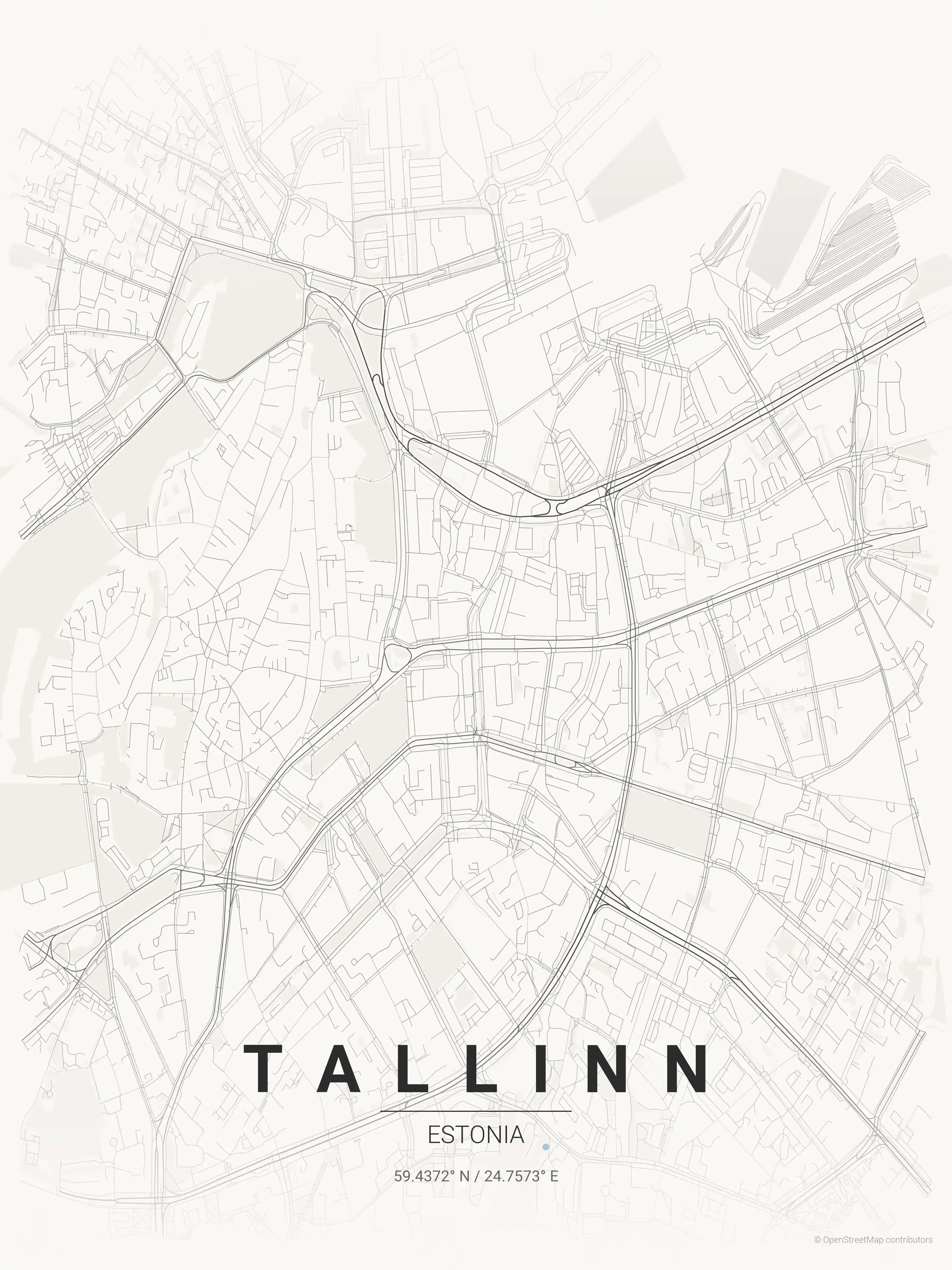
How many themes are available for Tallinn?
Tallinn is available in 9 artistic themes, including contrast zones, midnight blue, forest and more — same street layout, different colour palettes.
More Maps from Estonia
Discover other cities in our collection