Toulouse Street Map Poster
Free printable France city map & outline — contrast zones theme
Free high-resolution downloads. Print anywhere you like.
Digital Download
Free
High-resolution digital file
What You Get
- High-resolution WebP file
- Optimized for any print size
- Multiple artistic themes
- Free for personal use
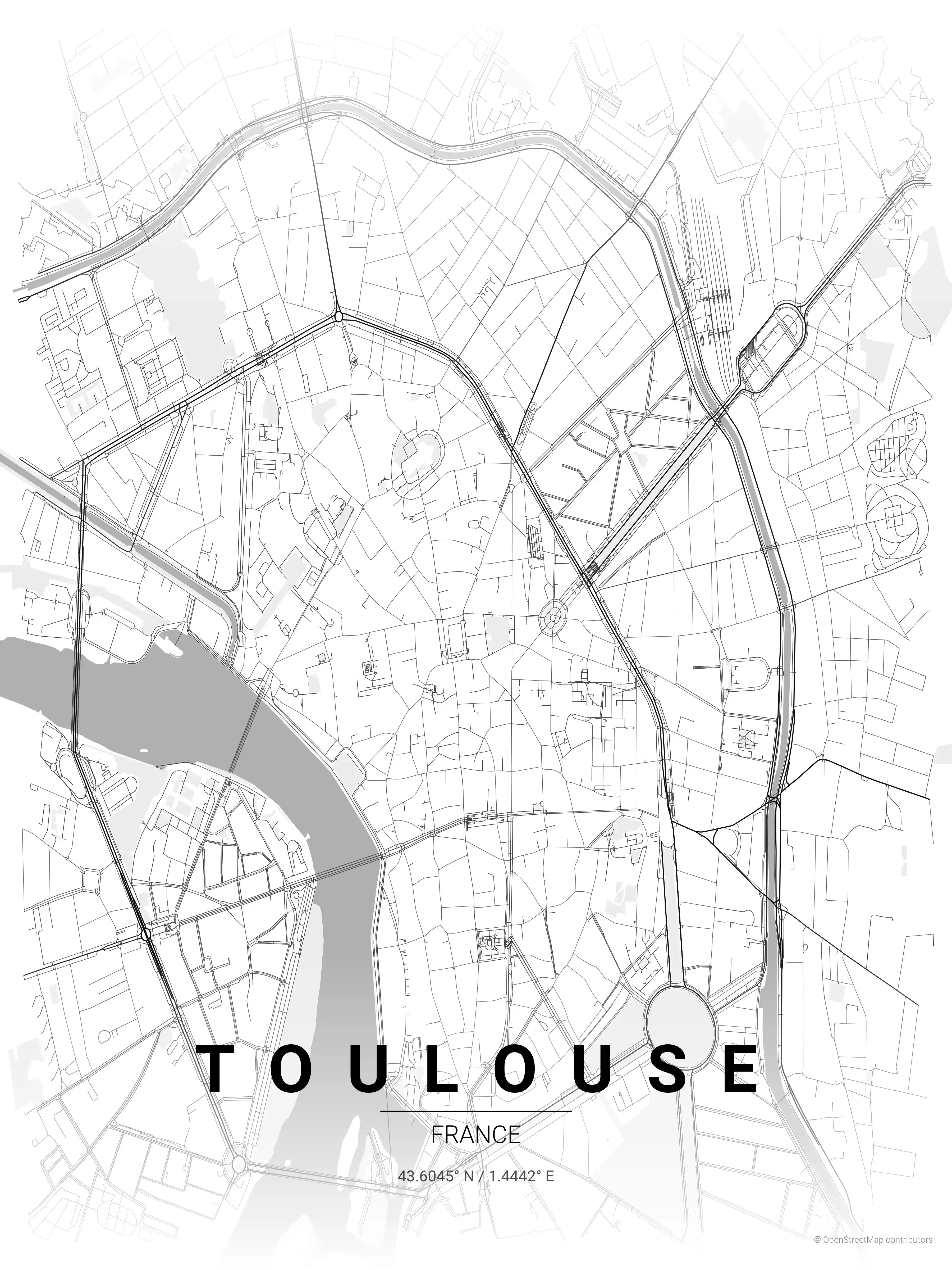
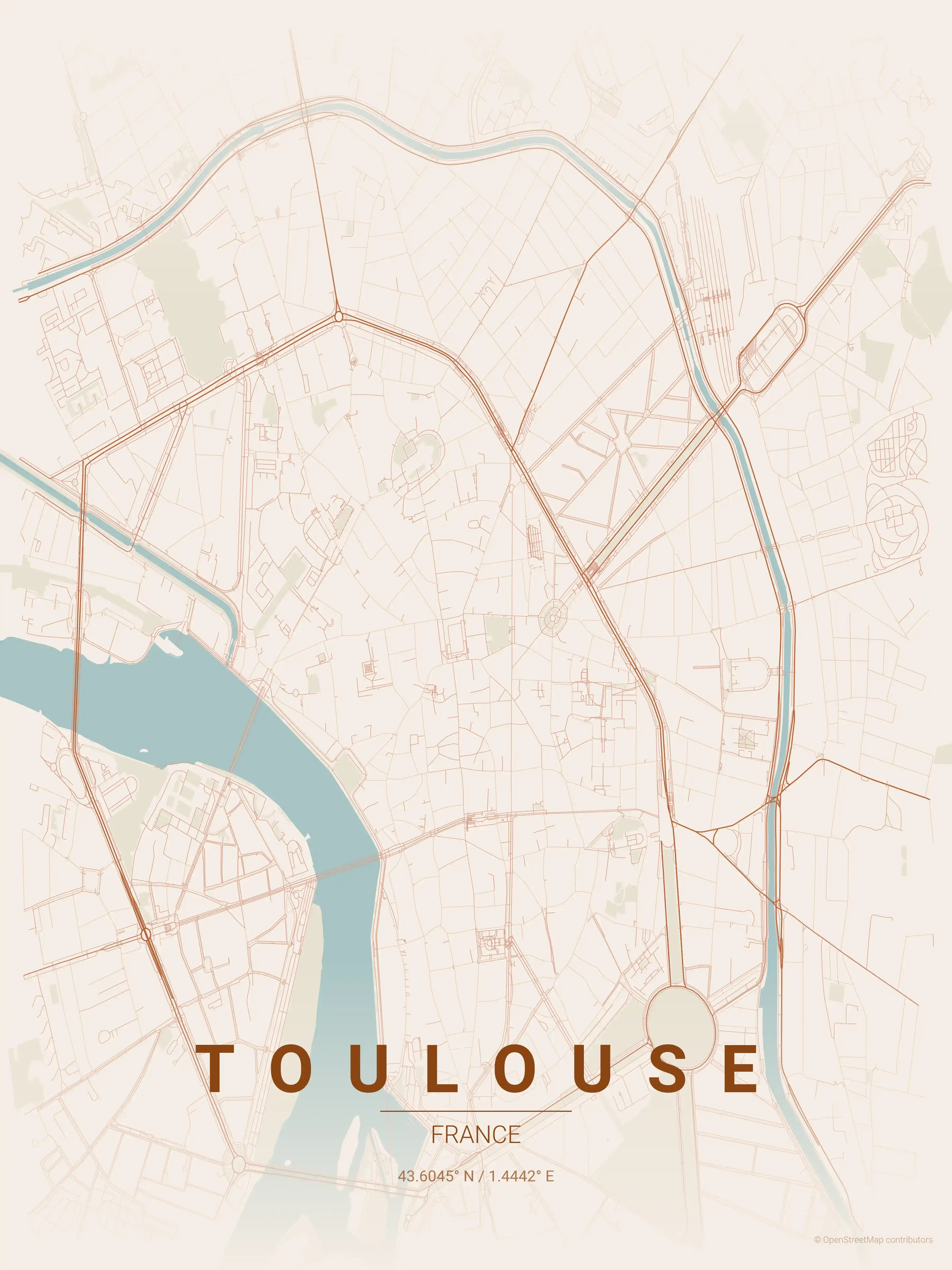
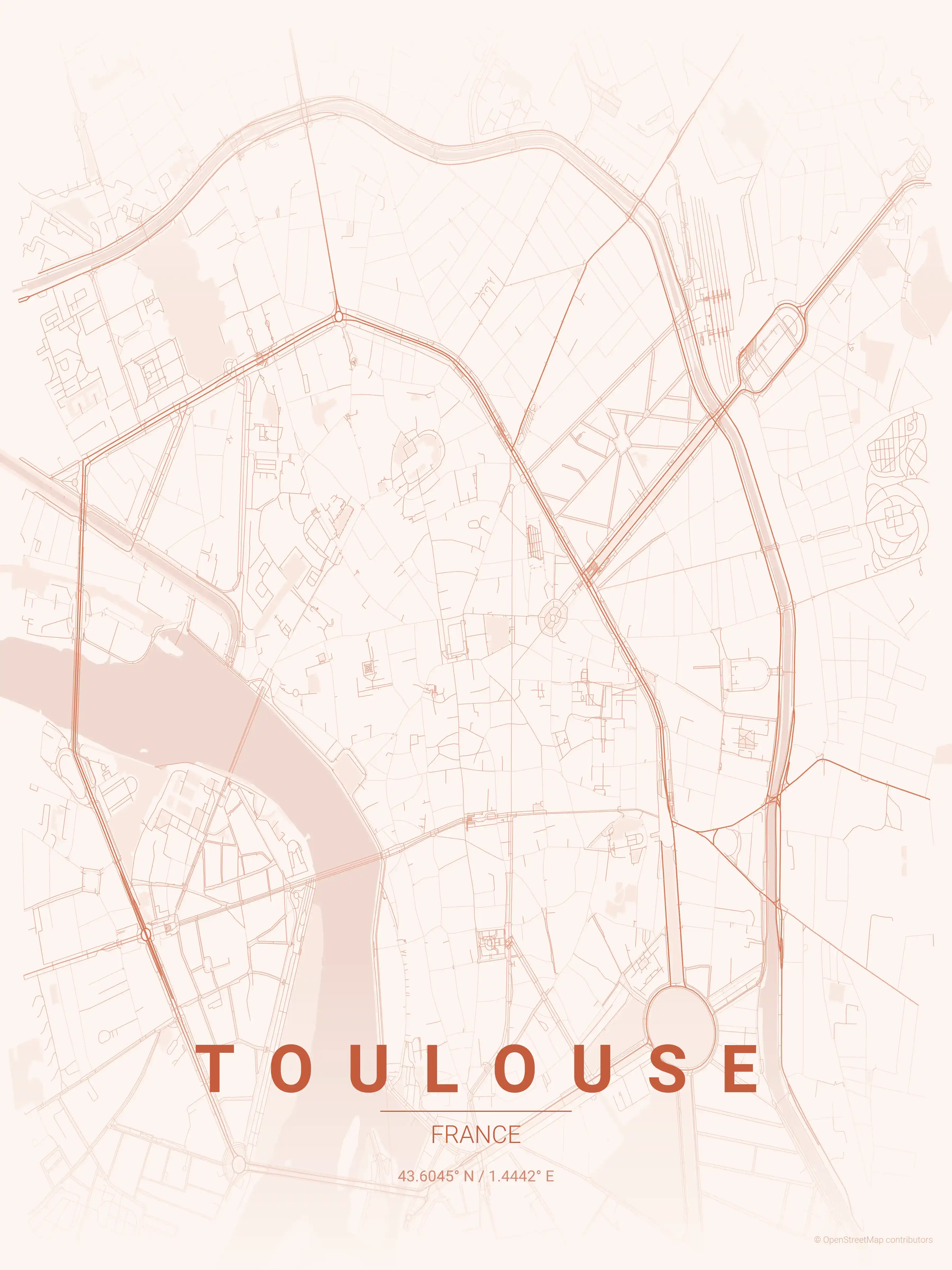
Free Printable Toulouse Street Map
This is a detailed, minimalist street map of Toulouse in France, with landmarks such as the Garonne, the Canal du Midi, Place du Capitole. Download it free as a high-resolution, print-ready file — equally at home as framed wall art or a clean reference street map and city outline of Toulouse.
Also known as: plan de Toulouse · plan de Toulouse à imprimer · carte de Toulouse
About the Toulouse Map Poster
Two waterways shape the Toulouse street map. The Garonne carves a broad curve through the centre, crossed by the brick arches of the Pont Neuf, while the Canal du Midi loops around the eastern and southern edges of the old core — a UNESCO-listed waterway you can follow as a clean band across the poster. Between them sits the dense historic grid of La Ville Rose, the Pink City named for its warm terracotta brick.
At the heart of the map lies the great rectangle of Place du Capitole, with the radial medieval streets of the Carmes quarter spilling out around it and the Basilique Saint-Sernin marking the northern edge of the old town. Across the river, the Saint-Cyprien district shows a looser, lower-rise grain. Each landmark sits exactly where the lines say it should, which is what makes this printable city map satisfying to read.
Rendered as minimalist wall art, the poster celebrates Toulouse’s geometry rather than its monuments. Pair it with a Nice map poster for a southern set, and explore other France city maps for more printable street map posters.
How to Print Your Toulouse Map
Download the high-resolution file and print it at home, through an online print service (Printful, Printify, Shutterfly, Vistaprint), or at a local print shop. The Toulouse street map prints crisp at sizes up to roughly A1 (24×36 in / 60×90 cm).
- · Popular frame sizes: A3, A2, 18×24 in, 50×70 cm
- · Portrait 3:4 aspect ratio — fits standard poster frames
- · No watermark · no attribution required for personal use
File Information
What's Included
- High-resolution file optimized for professional printing
- Instant download – no registration or account needed
- Print as many times as you like for personal use
- Clean design with no watermarks or attribution required
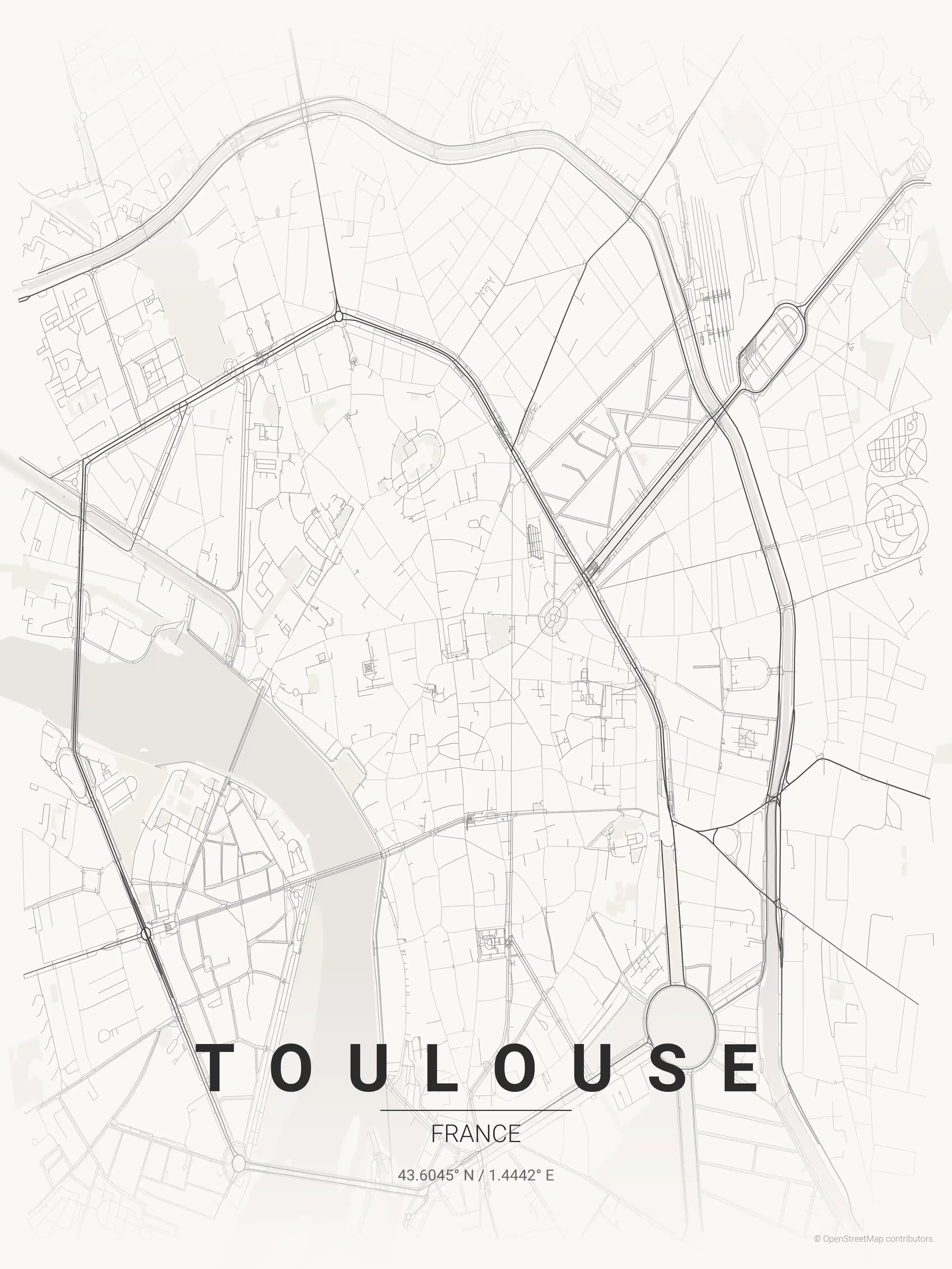
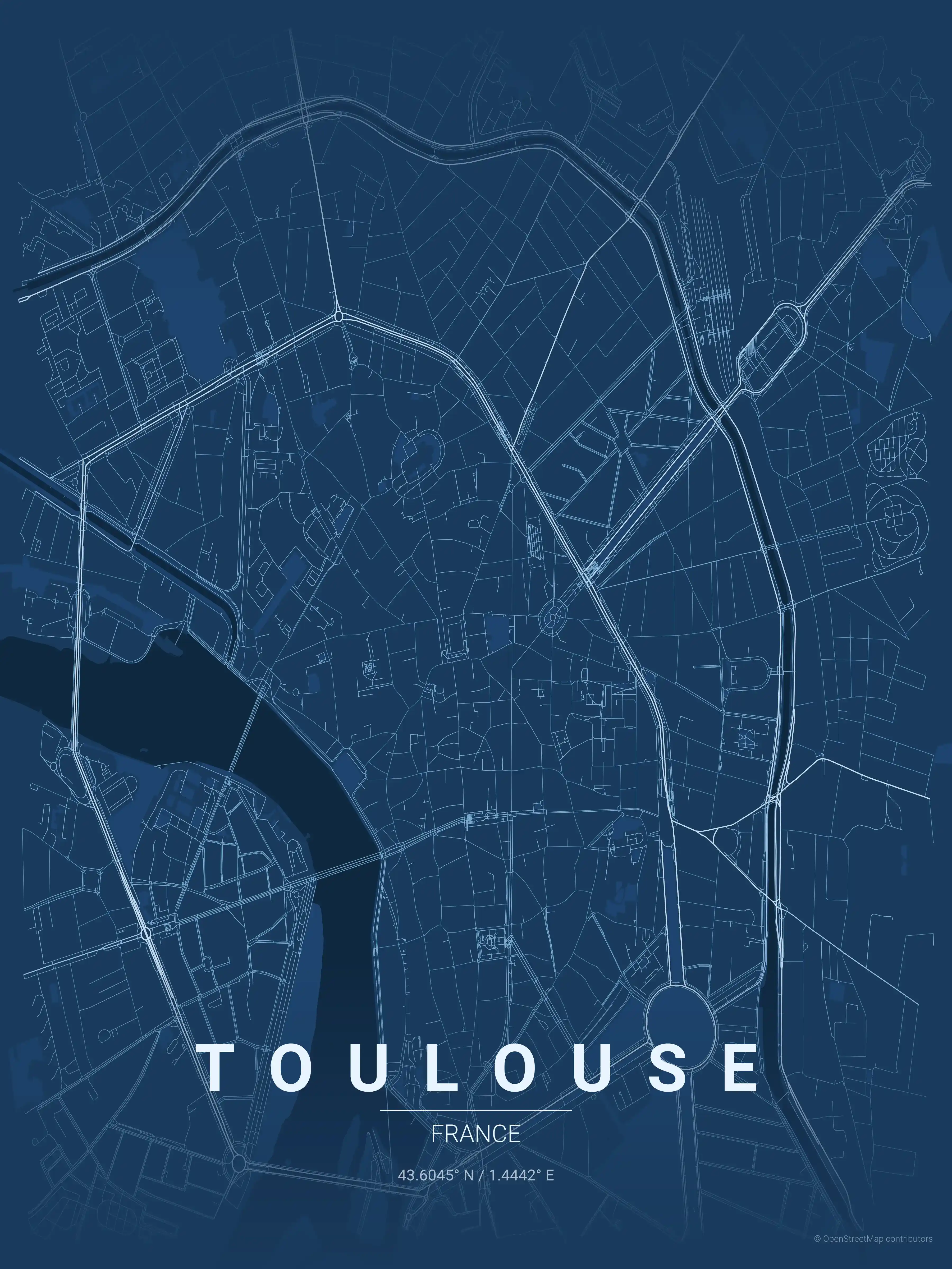
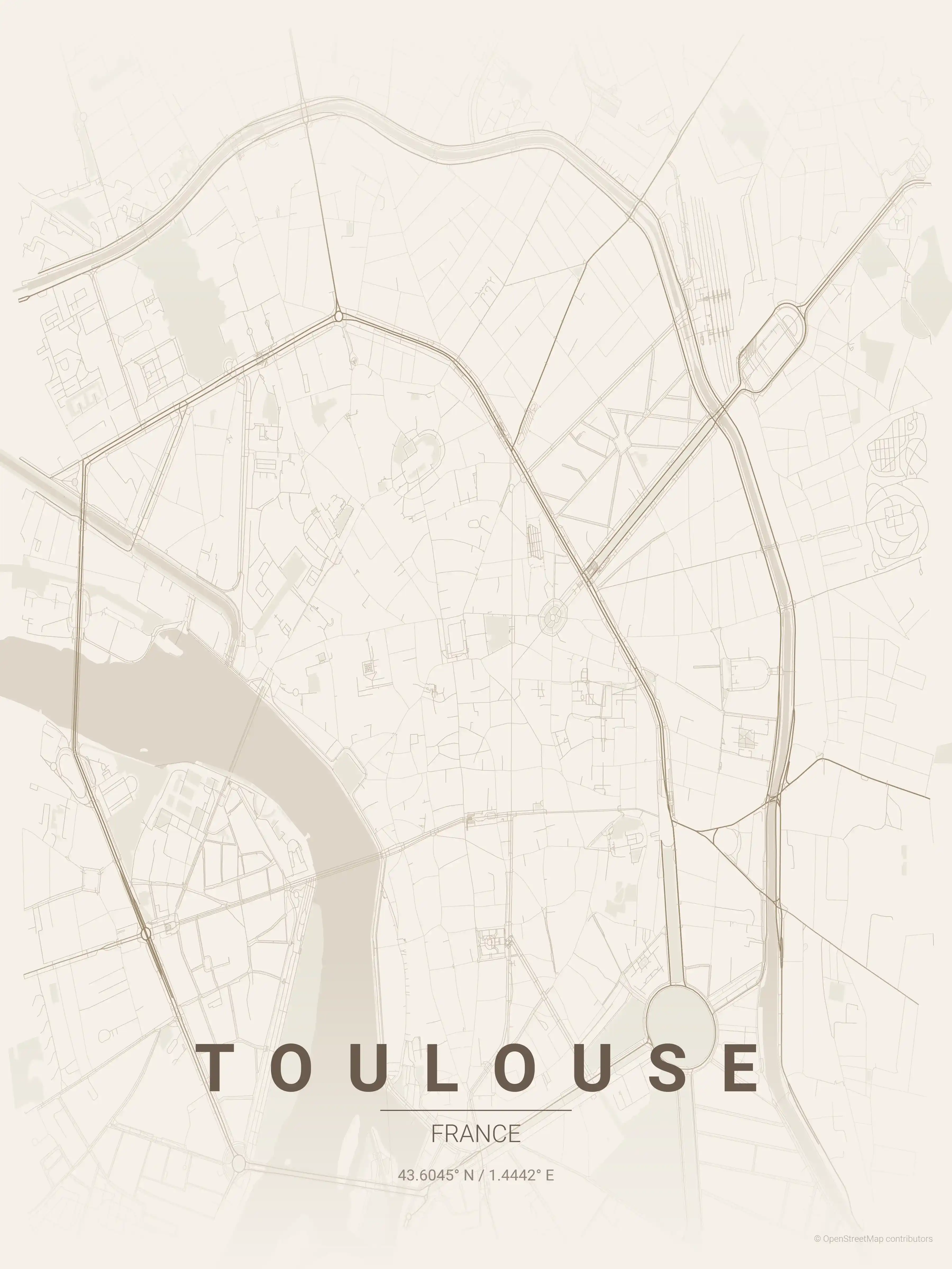
Theme Collection
Explore all available aesthetic variations
contrast zones
Click to preview
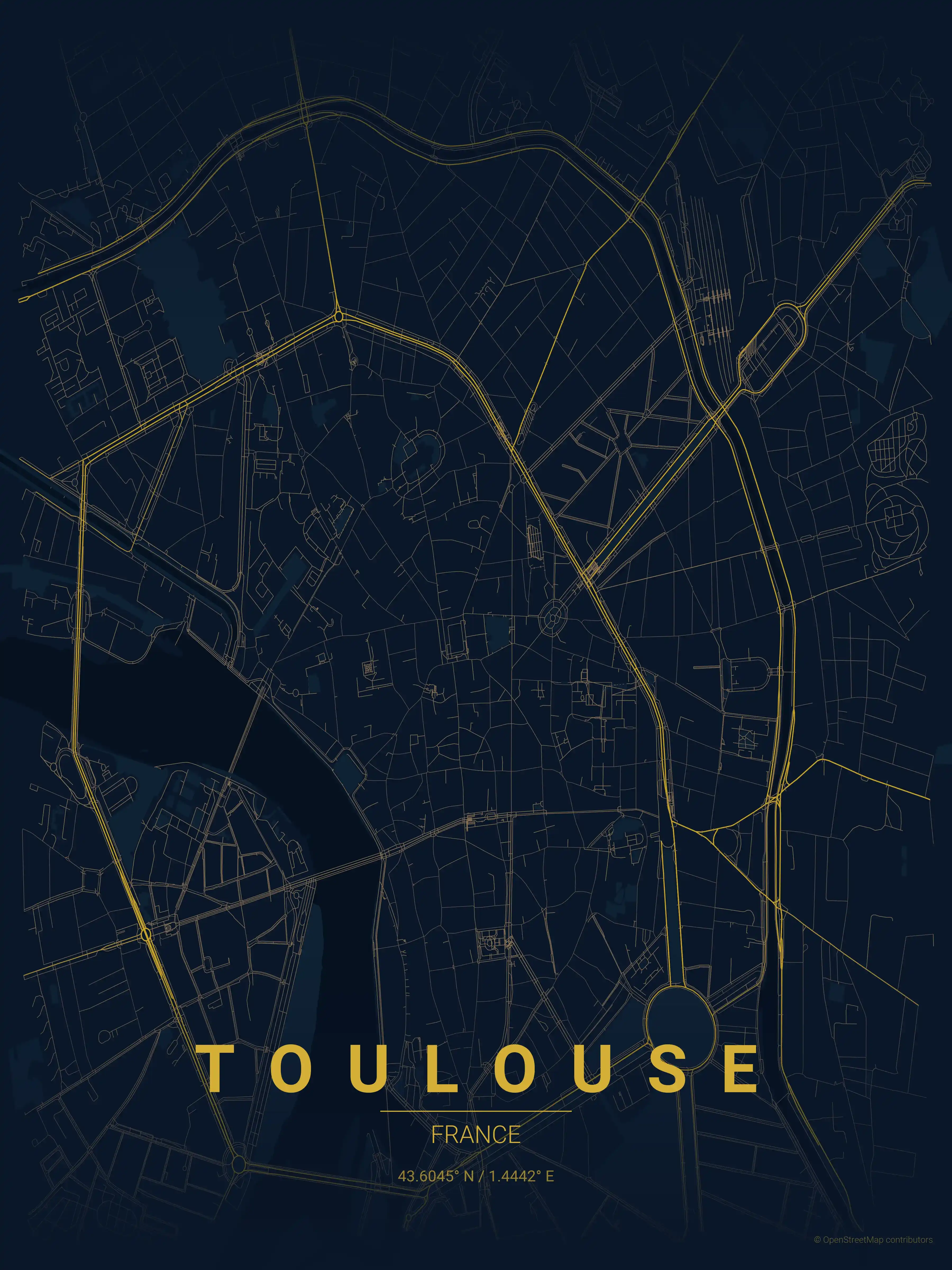
midnight blue
Click to preview
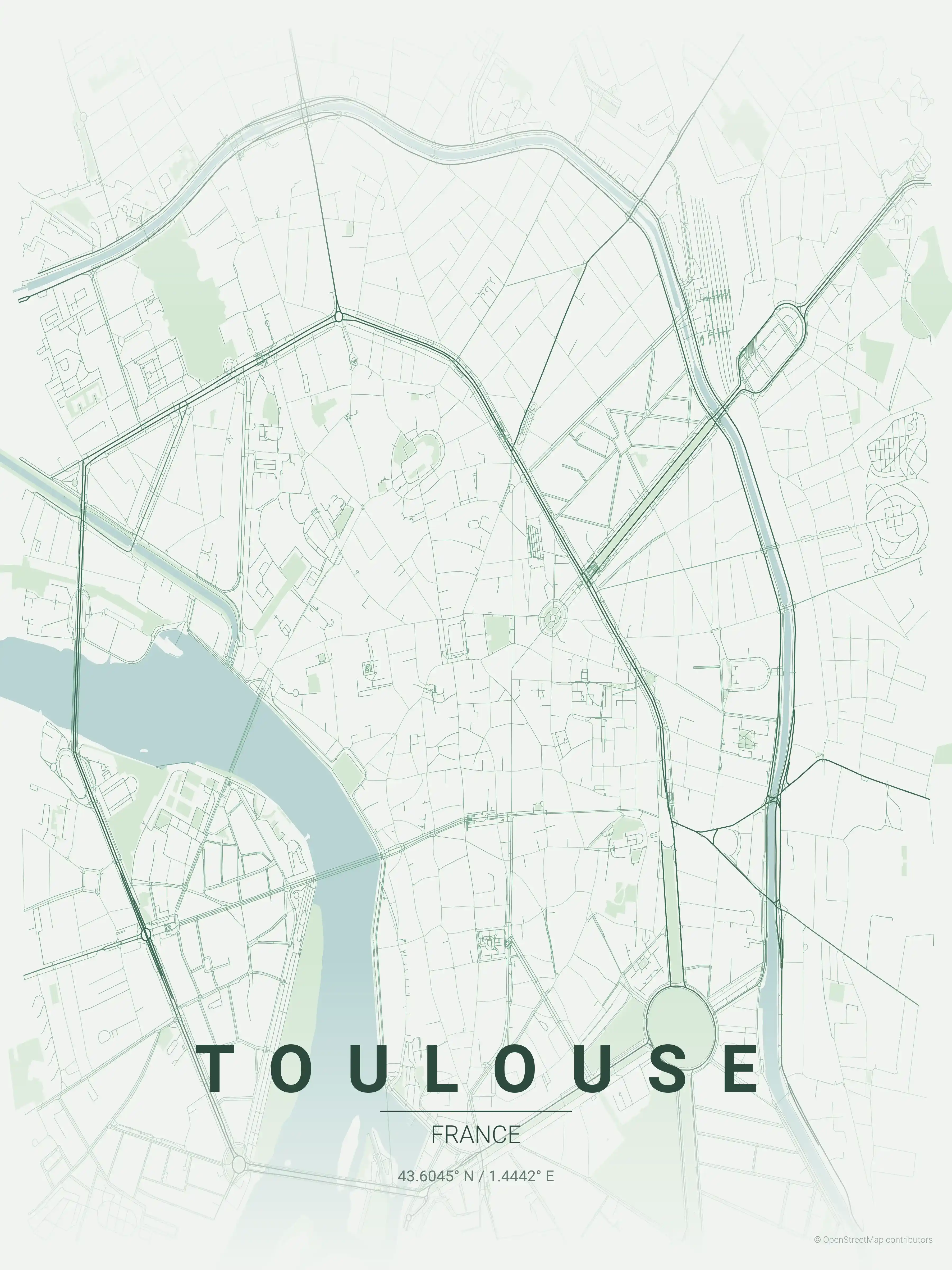
forest
Click to preview
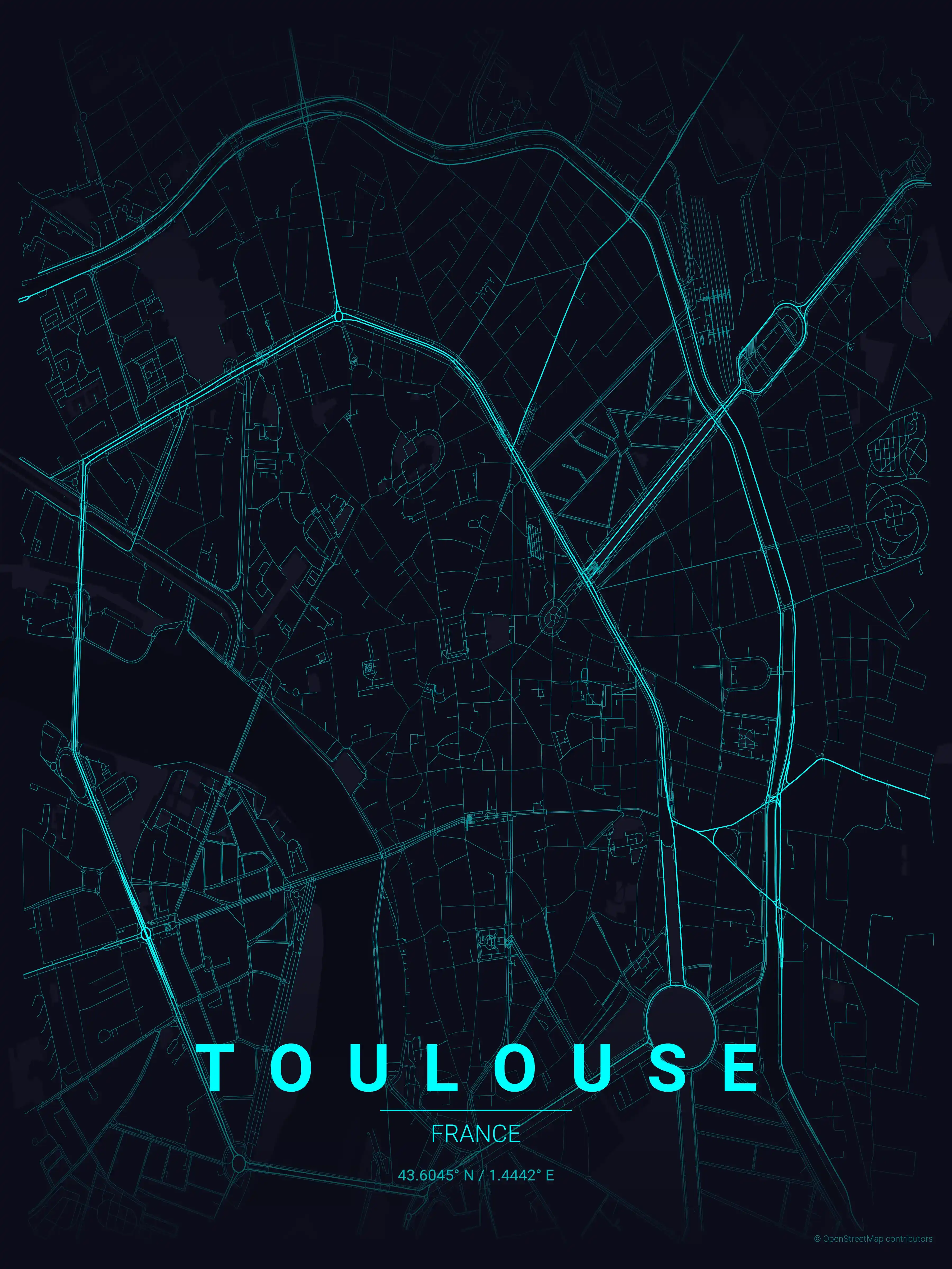
neon cyberpunk
Click to preview
terracotta
Click to preview
japanese ink
Click to preview
blueprint
Click to preview
warm beige
Click to preview
sunset
Click to preview
Toulouse Map — FAQ
Common questions about the free Toulouse street map poster
Is the Toulouse map poster free to download?
Yes. Every Toulouse, France street map poster is 100% free to download for personal use — no signup, no email, and no watermark. Download as many themes as you like.
What does the Toulouse map show?
It's a minimalist street map of Toulouse — a clean outline of the city's real street network and landmarks such as the Garonne, the Canal du Midi, Place du Capitole. It works as both decorative wall art and a stylised reference map of Toulouse.
What size can I print the Toulouse map at?
The file is high-resolution and prints crisp at sizes up to roughly A1 (24×36 in / 60×90 cm). Popular frame sizes are A3, A2, 18×24 in and 50×70 cm.
How many themes are available for Toulouse?
Toulouse is available in 9 artistic themes, including contrast zones, midnight blue, forest and more — same street layout, different colour palettes.
More Maps from France
Discover other cities in our collection
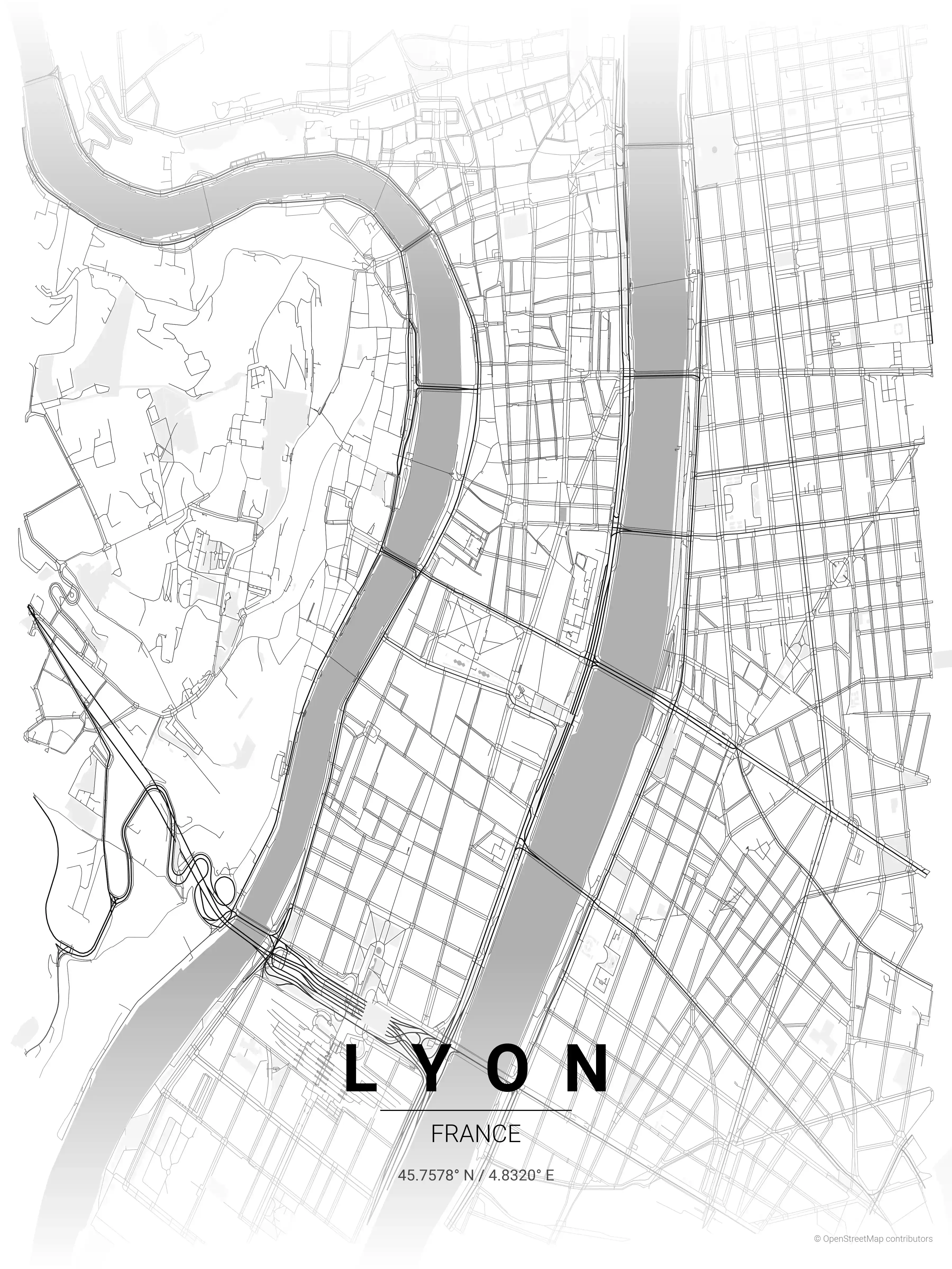
Lyon Map Poster
Adorn your space with a minimalist street map poster of Lyon, France, showcasing its iconic landmarks and intricate street network. Perfect for modern interiors and urban art lovers.
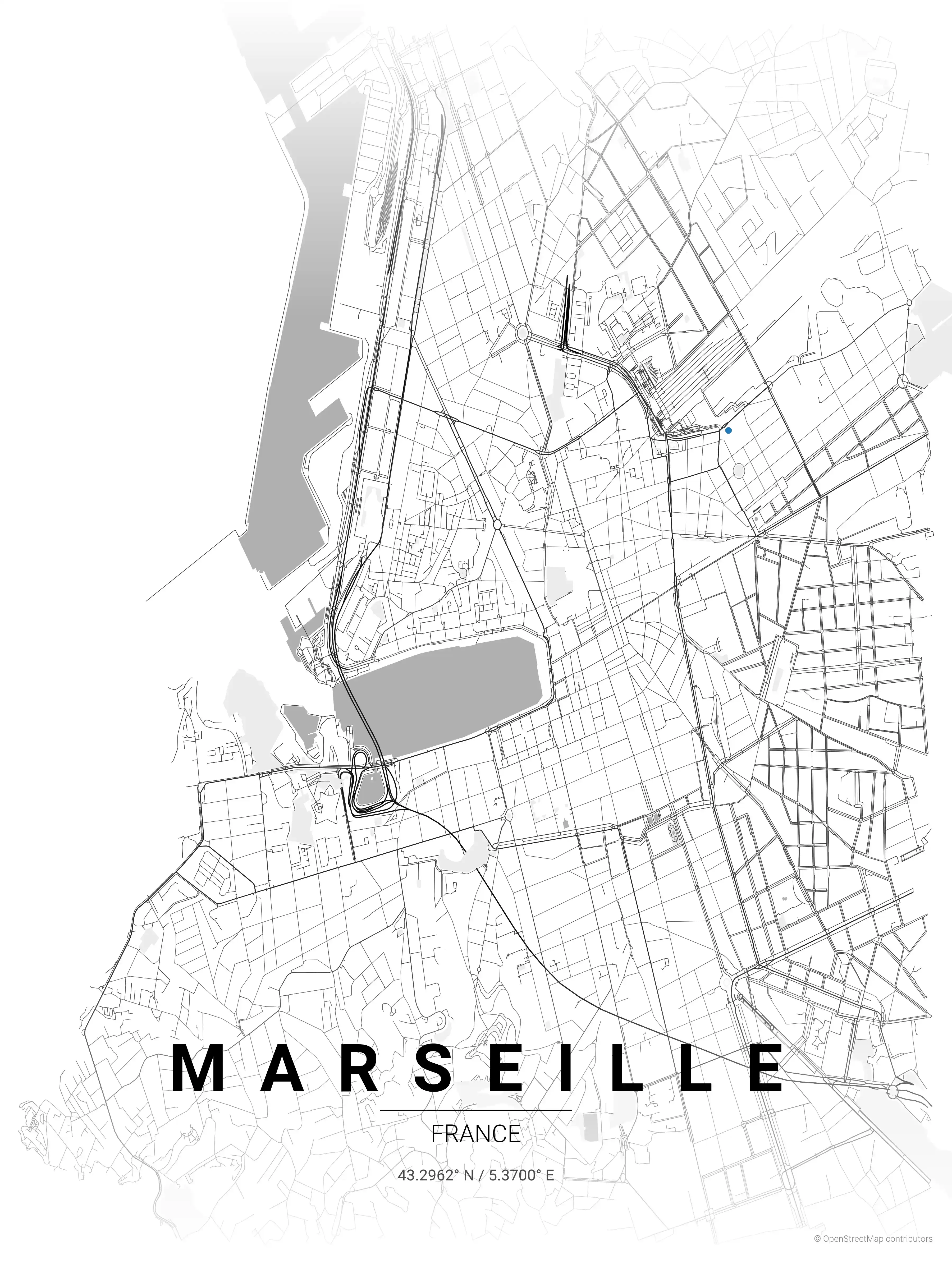
Marseille Map Poster
Adorn your space with this minimalist Marseille street map poster, showcasing iconic landmarks in a modern style. Ideal for urban art lovers and adding a chic touch to any interior.
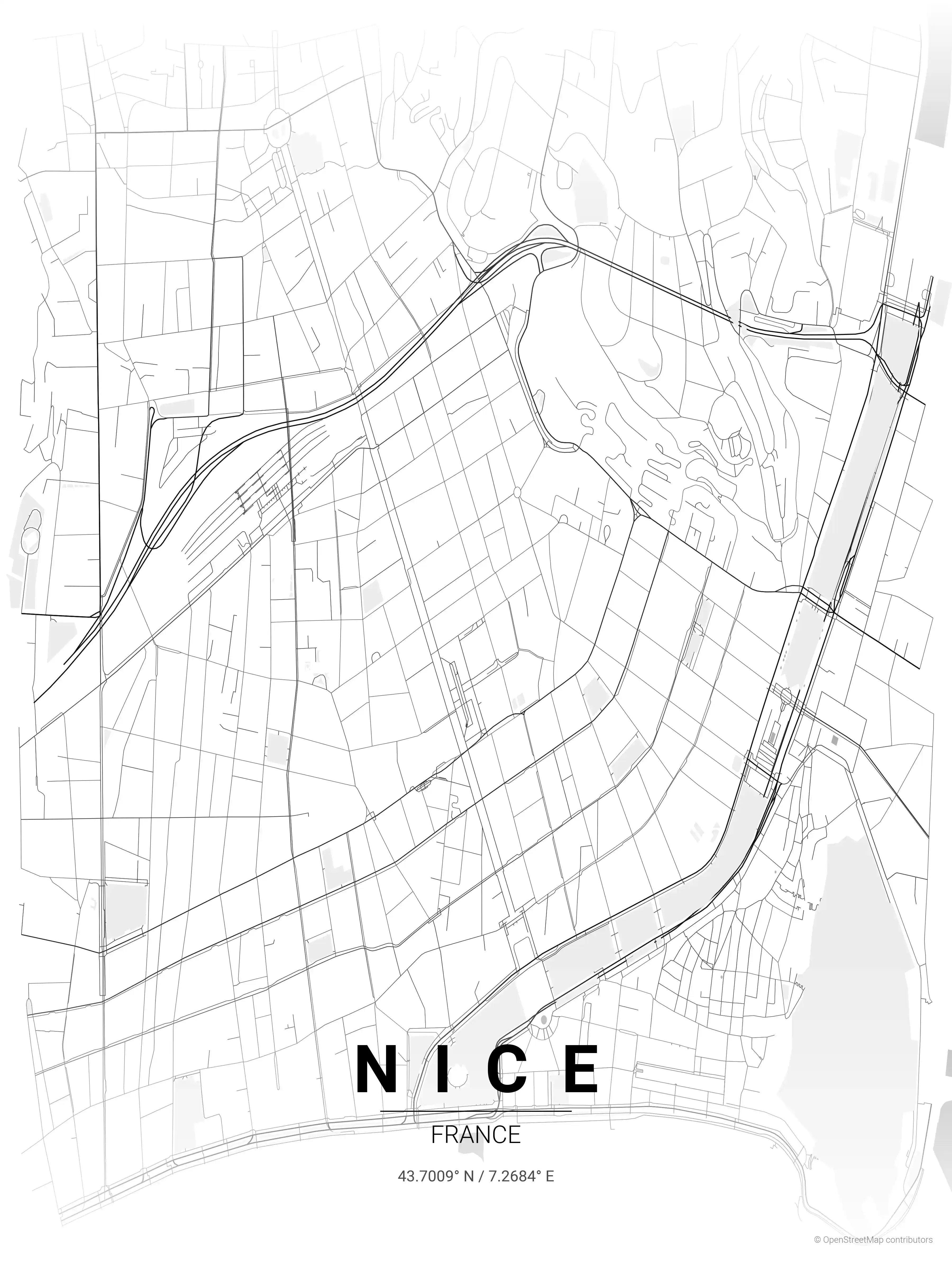
Nice Map Poster
Showcase your love for urban art with this minimalist street map poster of Nice, France. It strategically highlights iconic landmarks, making it an aesthetic addition to all modern interiors.
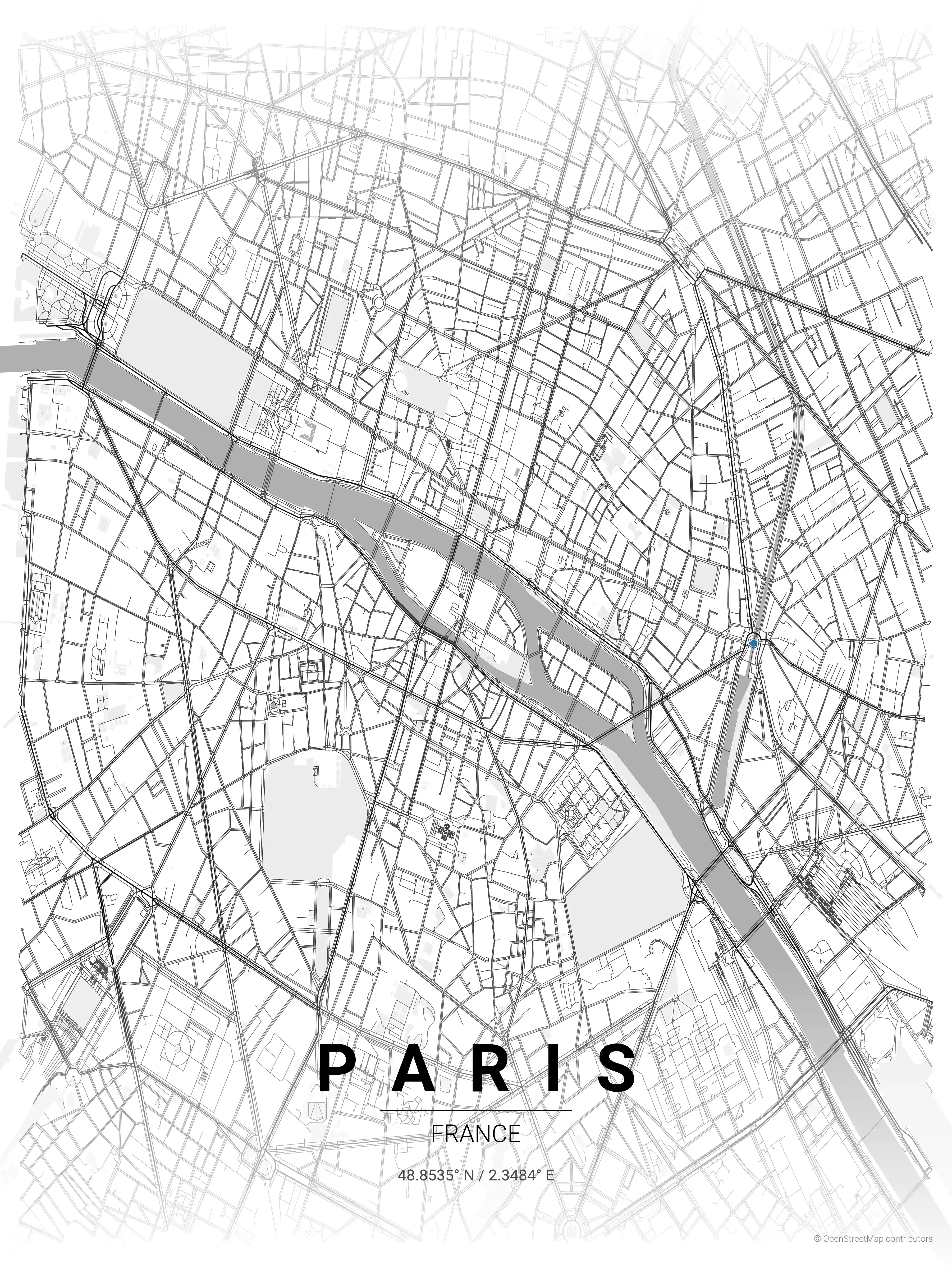
Paris Map Poster
Elevate your space with our minimalist Paris Street Map poster, featuring iconic landmarks & intricate urban layout. Ideal for modern interiors & city art lovers.