Guatemala
1 city available
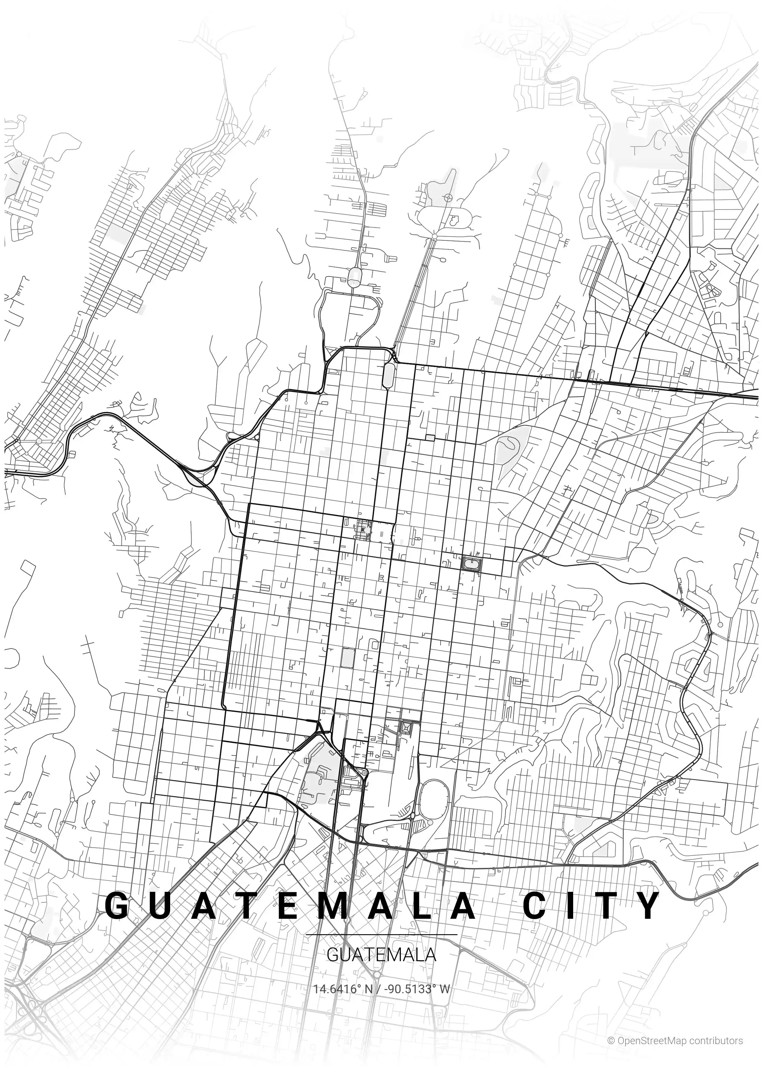
Guatemala City sprawls across a highland plateau cut by deep ravines, and its street map reflects this dramatic topography. The central grid follows Spanish colonial conventions, but the city's growth has been shaped by volcanic terrain — streets stop at barranca edges, bridges connect neighborhoods across gorges, and the overall pattern is unlike any other Central American capital.
About Guatemala City Maps
Our Guatemala collection captures this interplay between colonial planning and volcanic geography. The resulting maps have a raw, organic quality that distinguishes them from the more regular grids of neighboring capitals.
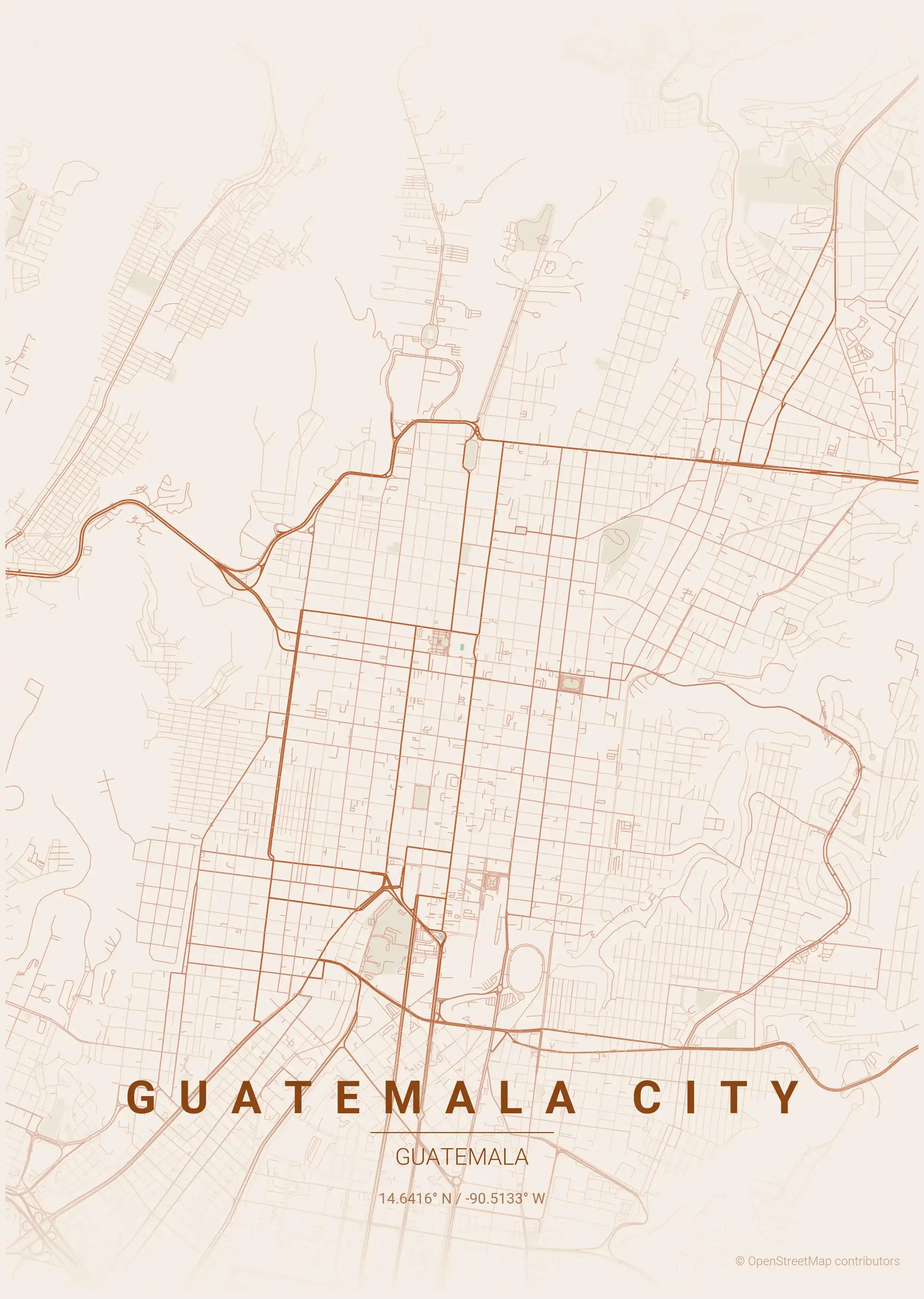
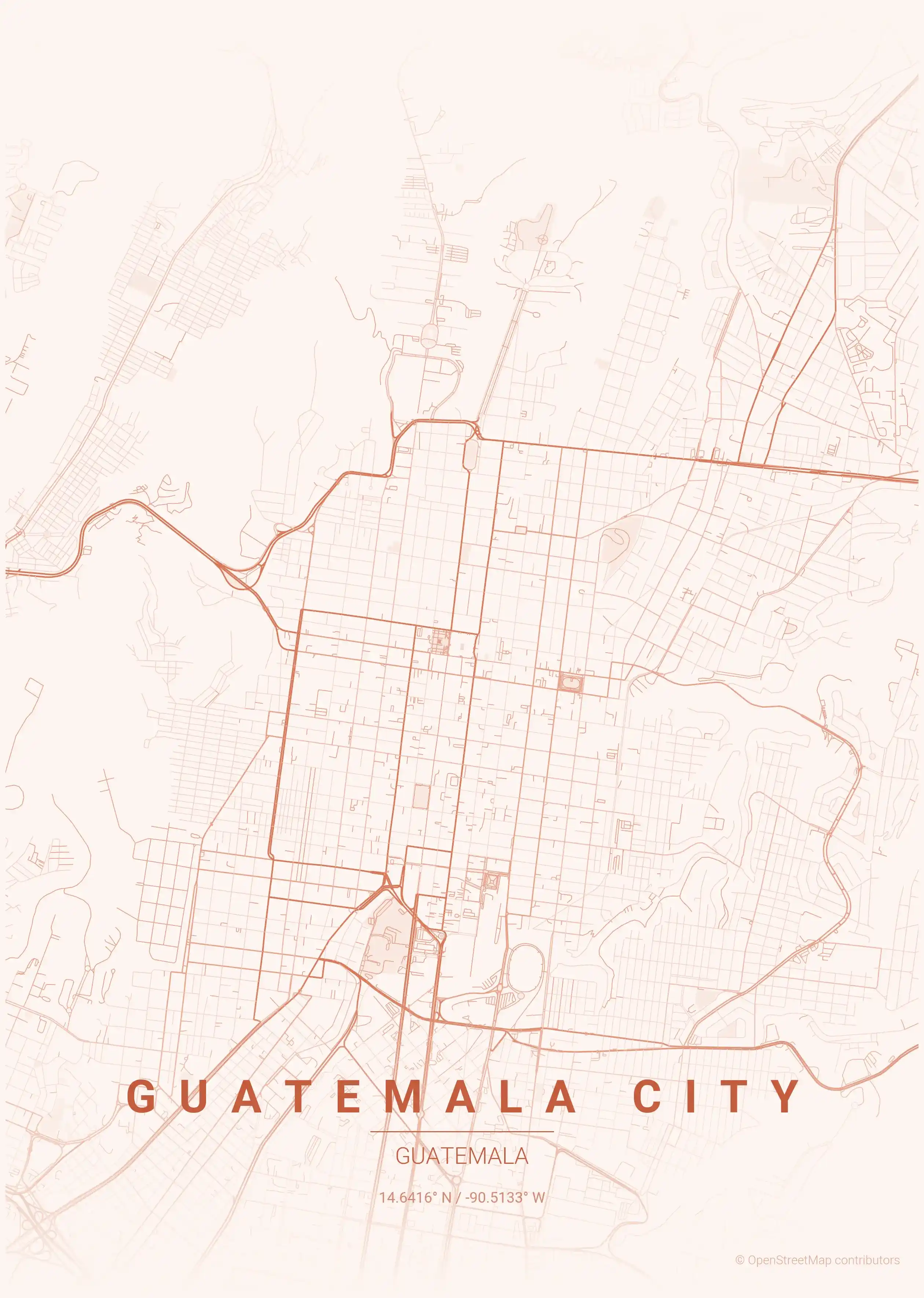
Each map is available in 9 artistic themes. The forest green palette connects to Guatemala's lush highland vegetation, while the terracotta theme echoes the warm earth tones of the region. All downloads are free and print-ready.
Explore More Cities
Discover map posters from cities across North America in our complete collection.