Guatemala City Street Map Poster
Free printable Guatemala city map & outline — contrast zones theme
Free high-resolution downloads. Print anywhere you like.
Digital Download
Free
High-resolution digital file
What You Get
- High-resolution WebP file
- Optimized for any print size
- Multiple artistic themes
- Free for personal use
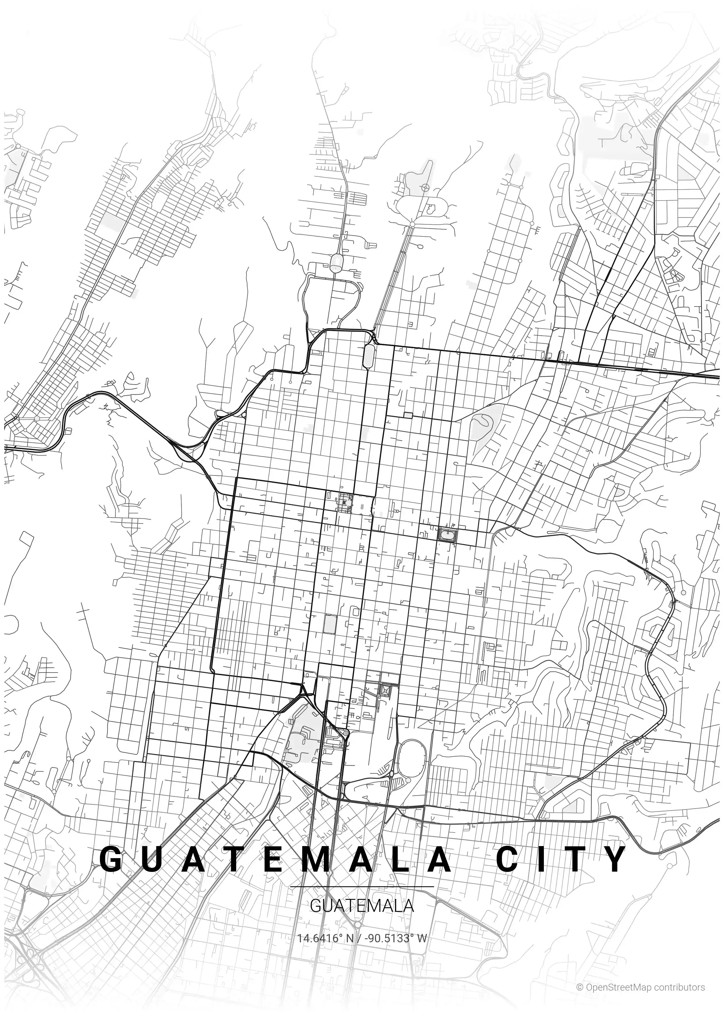
Free Printable Guatemala City Street Map
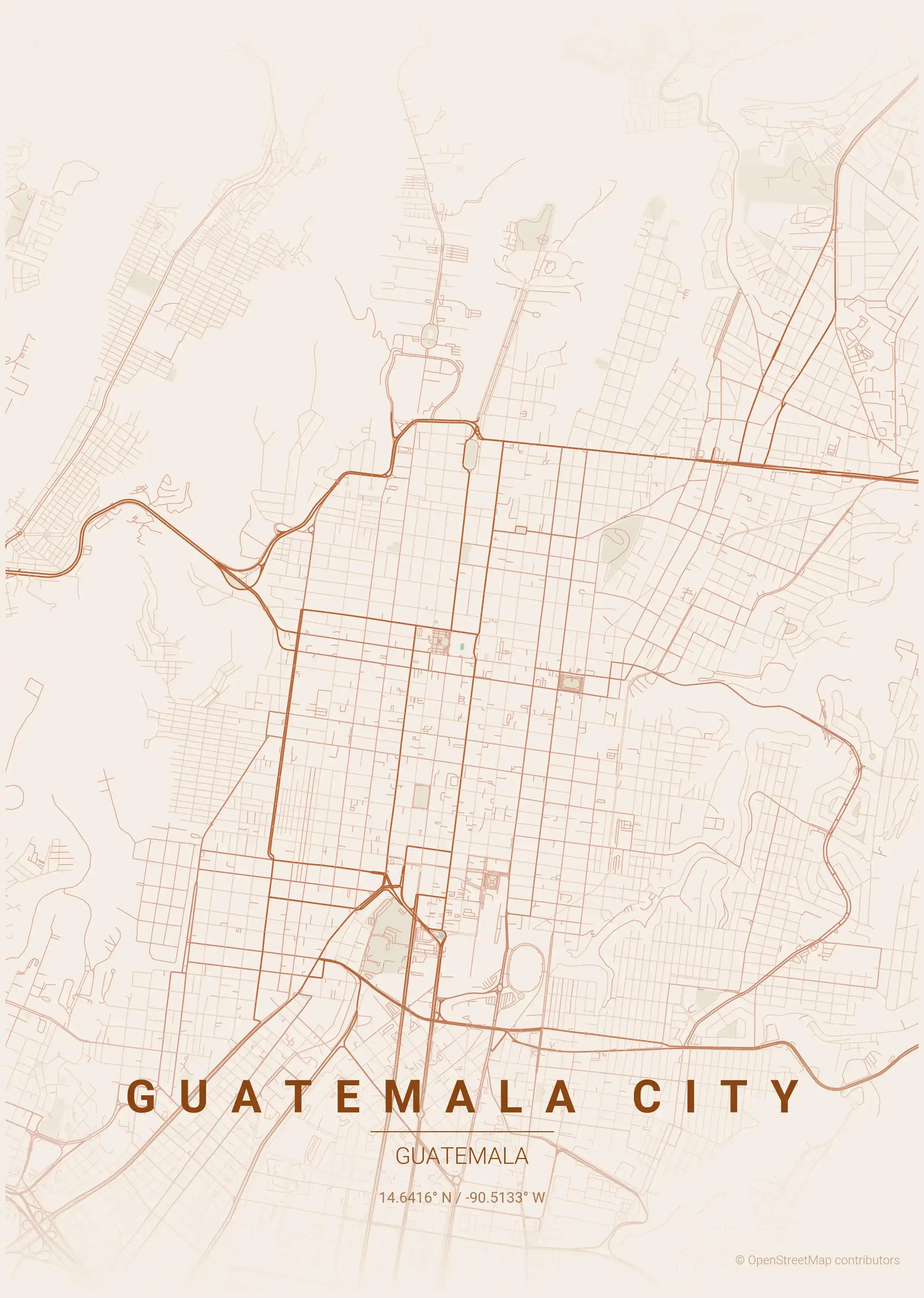
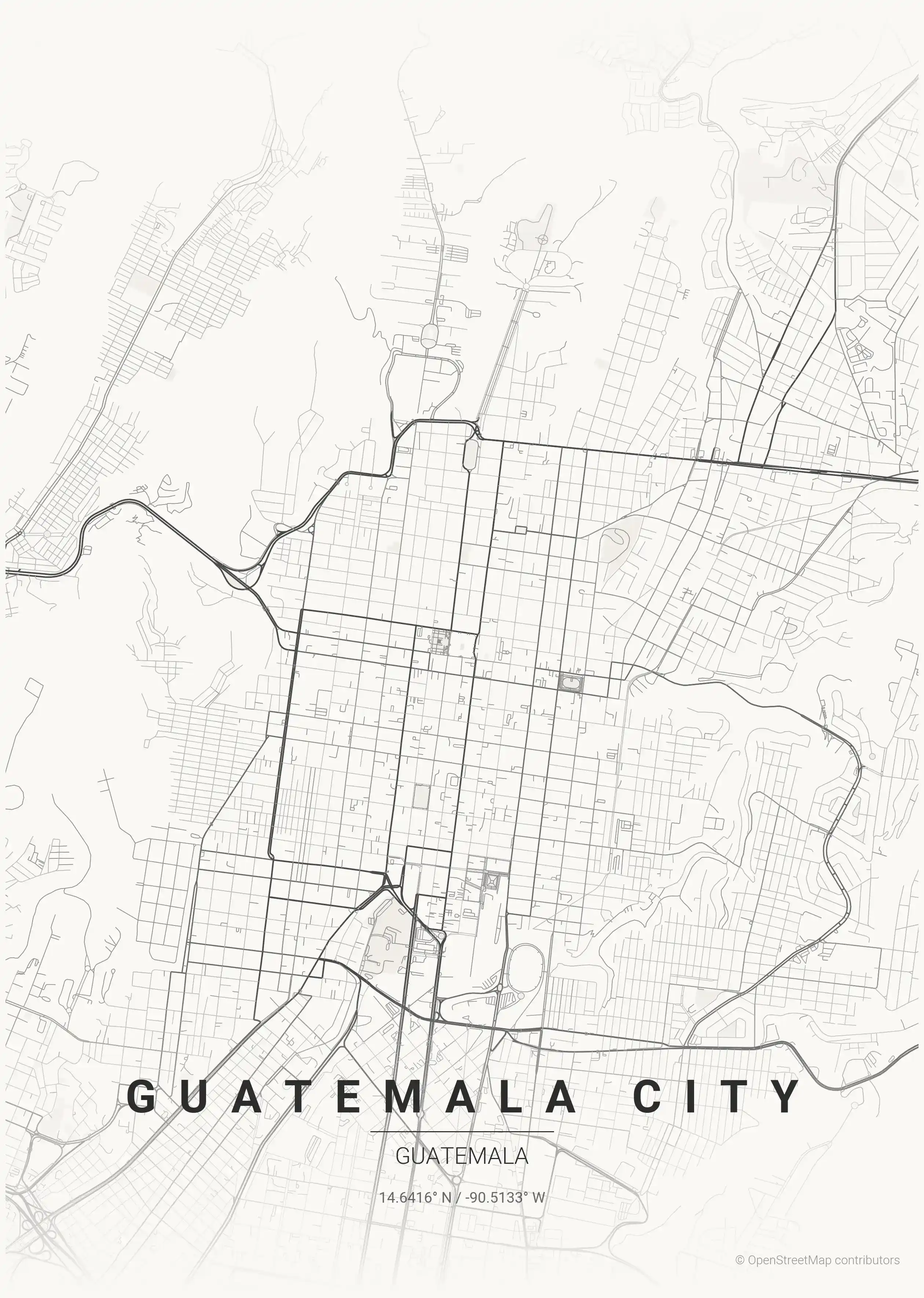
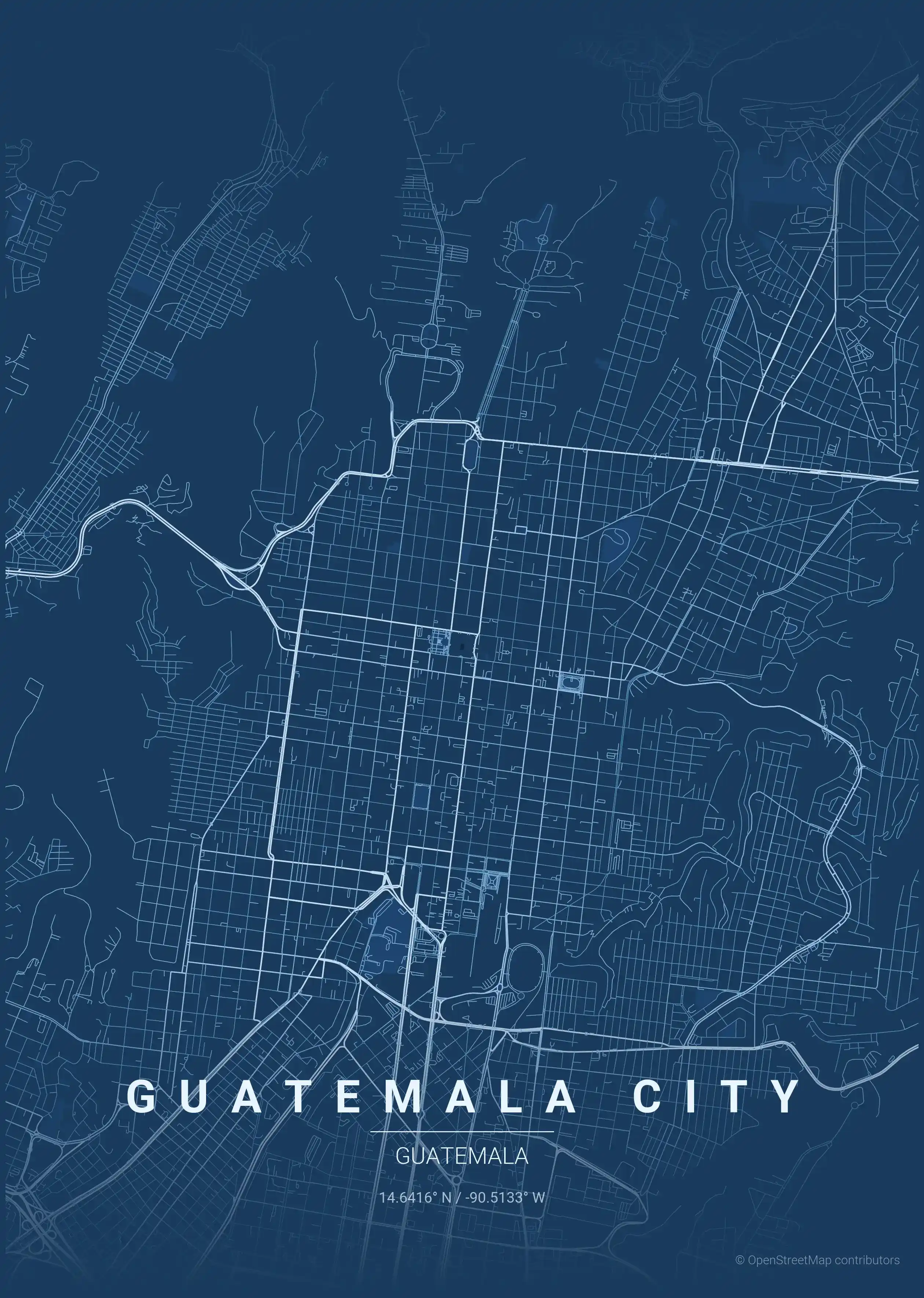
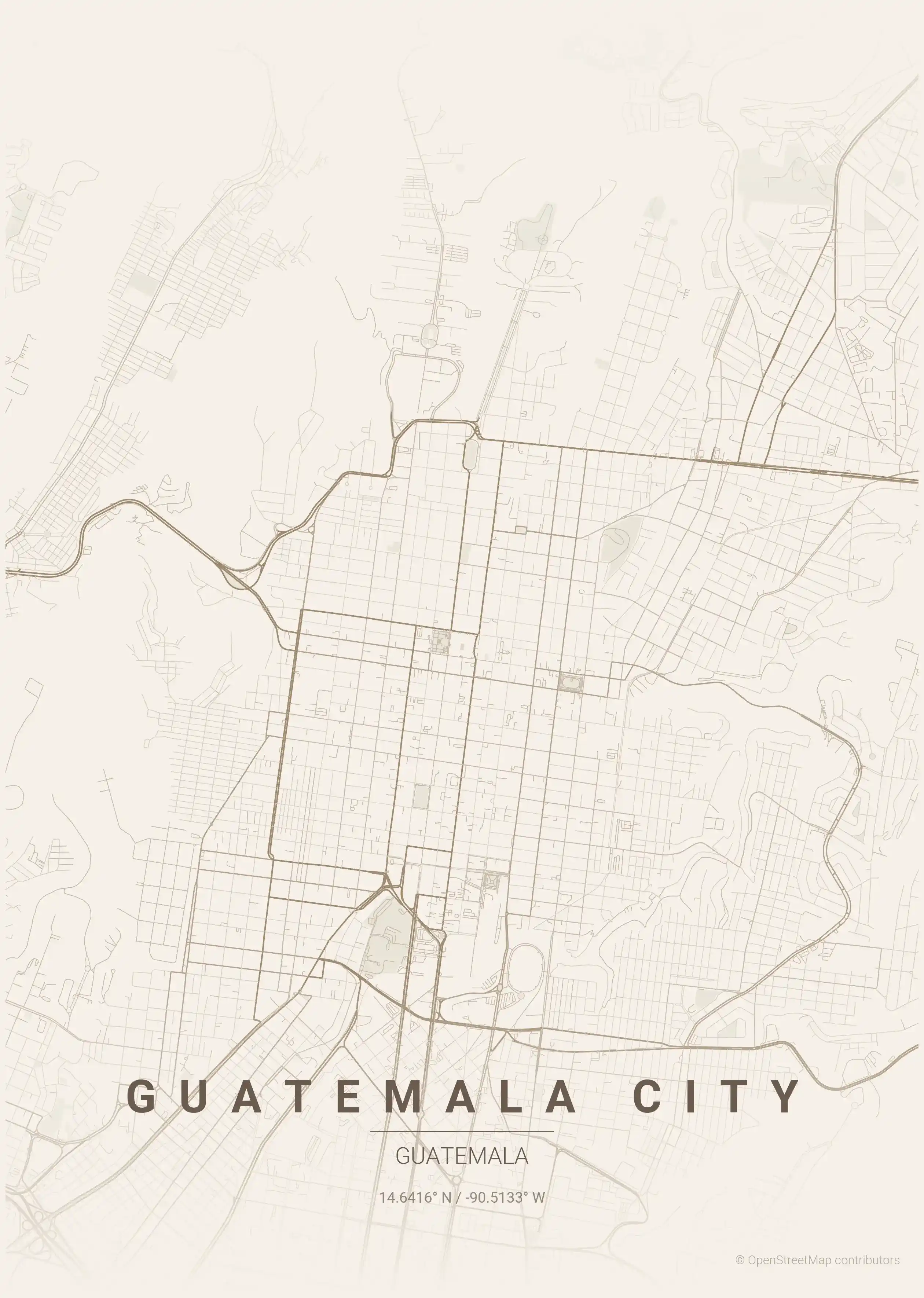
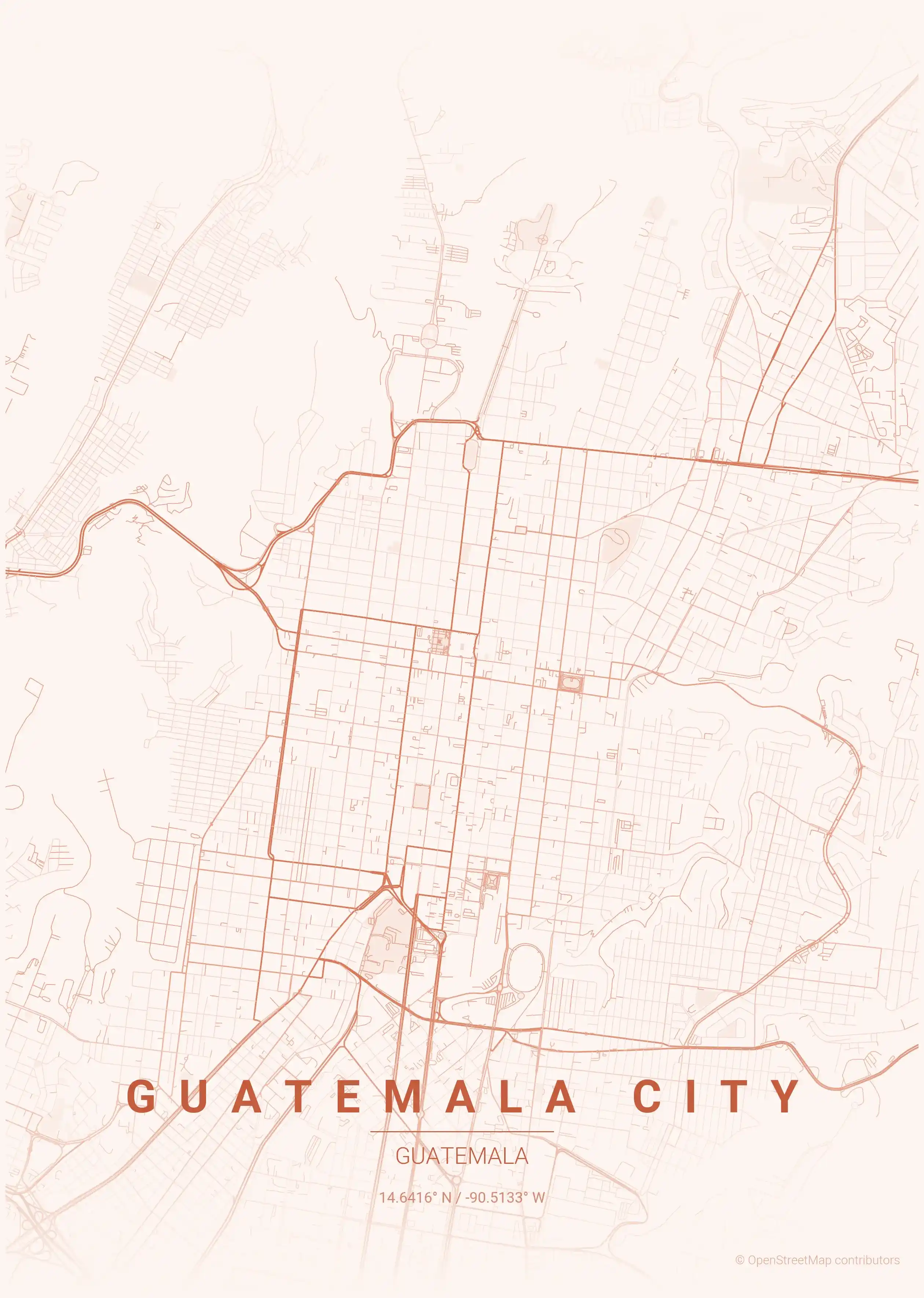
This is a detailed, minimalist street map of Guatemala City, covering the Centro Histórico (Zona 1) in Guatemala, with landmarks such as Plaza de la Constitución, Avenida la Reforma, Sexta Avenida. Download it free as a high-resolution, print-ready file — equally at home as framed wall art or a clean reference street map and city outline of Guatemala City.
Also known as: mapa de Ciudad de Guatemala · plano de Ciudad de Guatemala · mapa de Ciudad de Guatemala por calles
About the Guatemala City Map Poster
Laid out across a highland plateau and split by deep ravines, Guatemala City has a street map unlike any other Central American capital. The historic core in Zona 1 follows the Spanish colonial grid, radiating from the Plaza de la Constitución, where the Metropolitan Cathedral and National Palace anchor the old town, the Centro Histórico. The pedestrianised Sexta Avenida runs through this district as its commercial spine, while the tree-lined Avenida la Reforma sweeps south toward the modern, café-filled Zona Viva. Trace the layout closely and you can read the topography itself: streets break off at the edges of barrancas and bridges leap across the gorges that fracture the city into zonas.
This printable street map turns that distinctive geography into wall art. The numbered zonas, the long diagonal avenidas, and the abrupt ravine edges give the city map a raw, organic character that the regular grids of other capitals lack. Printed large, it reads as a quiet portrait of a city shaped equally by colonial planning and volcanic terrain.
Explore other Guatemala city maps on the country hub, or browse nearby Mexico city maps for more of Central America and beyond.
How to Print Your Guatemala City Map
Download the high-resolution file and print it at home, through an online print service (Printful, Printify, Shutterfly, Vistaprint), or at a local print shop. The Guatemala City street map prints crisp at sizes up to roughly A1 (24×36 in / 60×90 cm).
- · Popular frame sizes: A3, A2, 18×24 in, 50×70 cm
- · Portrait 3:4 aspect ratio — fits standard poster frames
- · No watermark · no attribution required for personal use
File Information
What's Included
- High-resolution file optimized for professional printing
- Instant download – no registration or account needed
- Print as many times as you like for personal use
- Clean design with no watermarks or attribution required
Theme Collection
Explore all available aesthetic variations
contrast zones
Click to preview
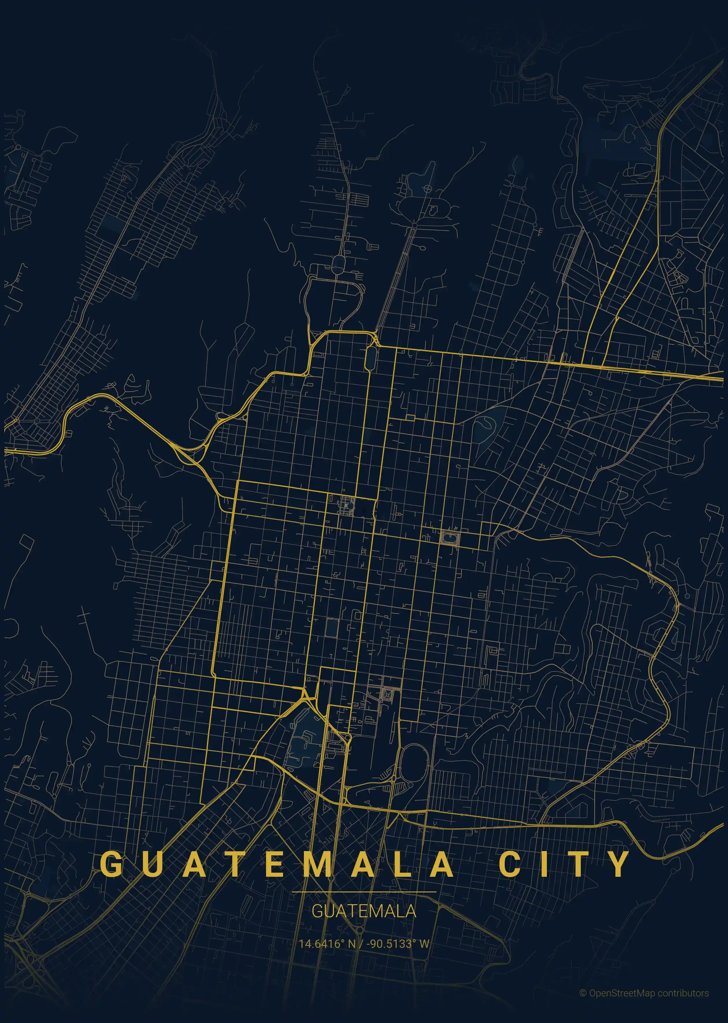
midnight blue
Click to preview
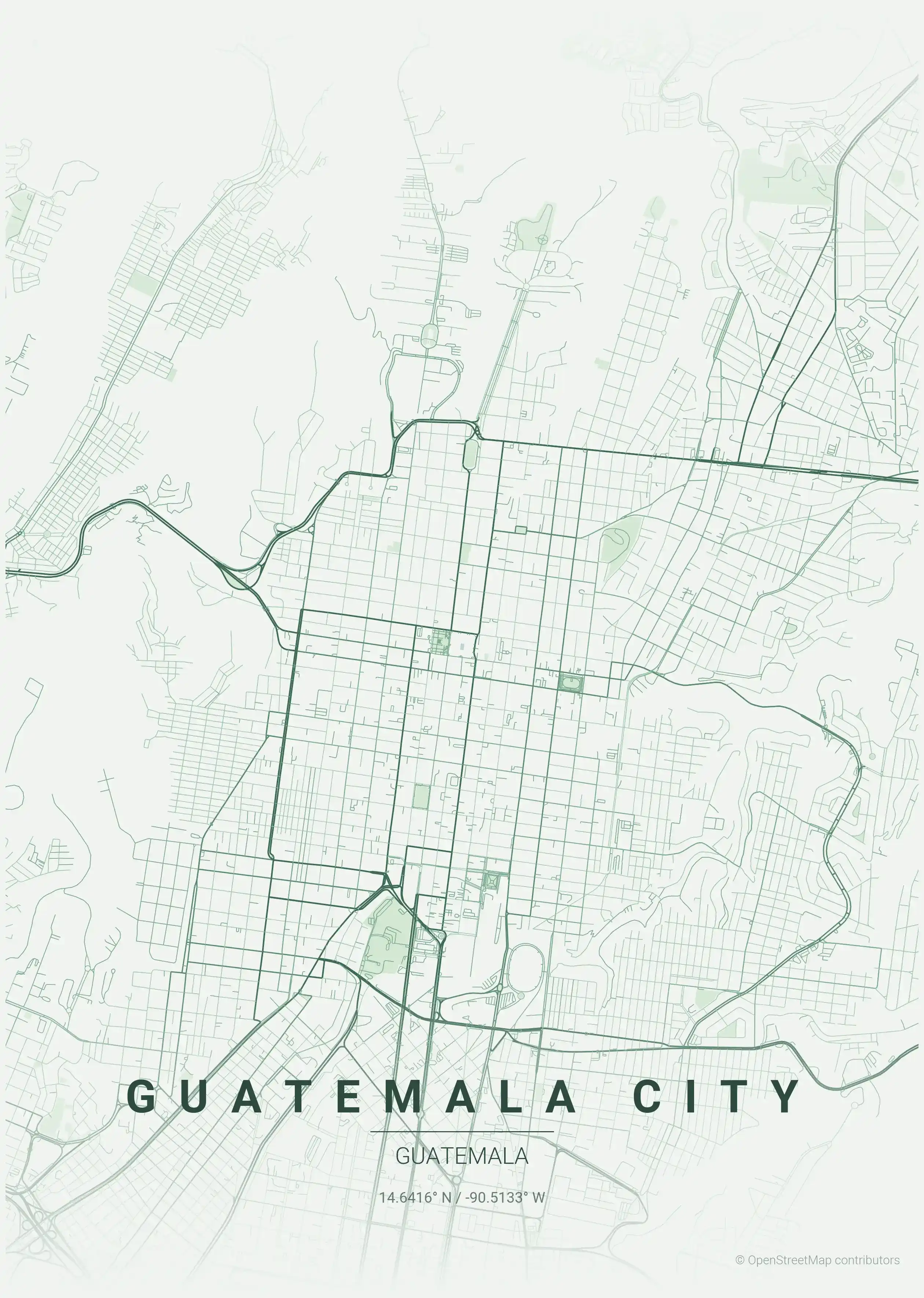
forest
Click to preview
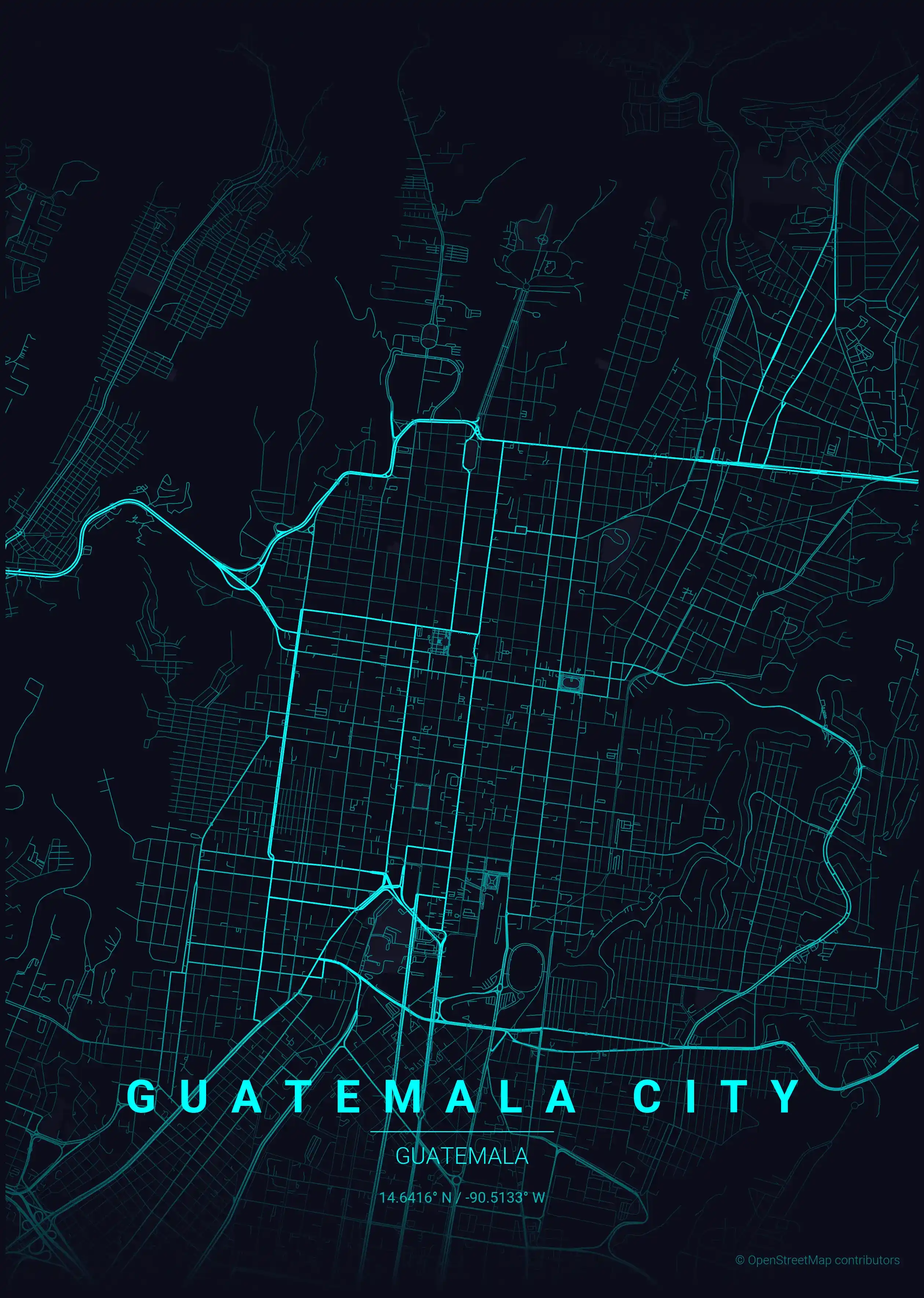
neon cyberpunk
Click to preview
terracotta
Click to preview
japanese ink
Click to preview
blueprint
Click to preview
warm beige
Click to preview
sunset
Click to preview
Guatemala City Map — FAQ
Common questions about the free Guatemala City street map poster
Is the Guatemala City map poster free to download?
Yes. Every Guatemala City, Guatemala street map poster is 100% free to download for personal use — no signup, no email, and no watermark. Download as many themes as you like.
What does the Guatemala City map show?
It's a minimalist street map of Guatemala City — a clean outline of the city's real street network, including the Centro Histórico (Zona 1) and landmarks such as Plaza de la Constitución, Avenida la Reforma, Sexta Avenida. It works as both decorative wall art and a stylised reference map of Guatemala City.
What size can I print the Guatemala City map at?
The file is high-resolution and prints crisp at sizes up to roughly A1 (24×36 in / 60×90 cm). Popular frame sizes are A3, A2, 18×24 in and 50×70 cm.
How many themes are available for Guatemala City?
Guatemala City is available in 9 artistic themes, including contrast zones, midnight blue, forest and more — same street layout, different colour palettes.