Guatemala City Map
Free street map posters of 1 city
A minimalist map of Guatemala and its cities. Explore free, printable street map posters of Guatemala City — each city mapped in 9 artistic themes and available as a high-resolution download.
Cities of Guatemala on the map: Guatemala City.
About Guatemala City Maps
Looking for a Guatemala city map you can print and frame? This hub gathers free, minimalist street map posters of the country’s cities, each drawn from real street, avenue, and ravine data and offered as a high-resolution, print-ready download. If you have searched for a Guatemala city map or the cities of Guatemala as wall art, you are in the right place.
Guatemala’s urban character is shaped by its highland geography. Settlements sit among volcanoes, ravines, and mountain valleys, and that terrain gives each city map a distinctive shape — colonial grids interrupted by barrancas, diagonal avenues, and gorge-spanning bridges that you will not find in flatter capitals.
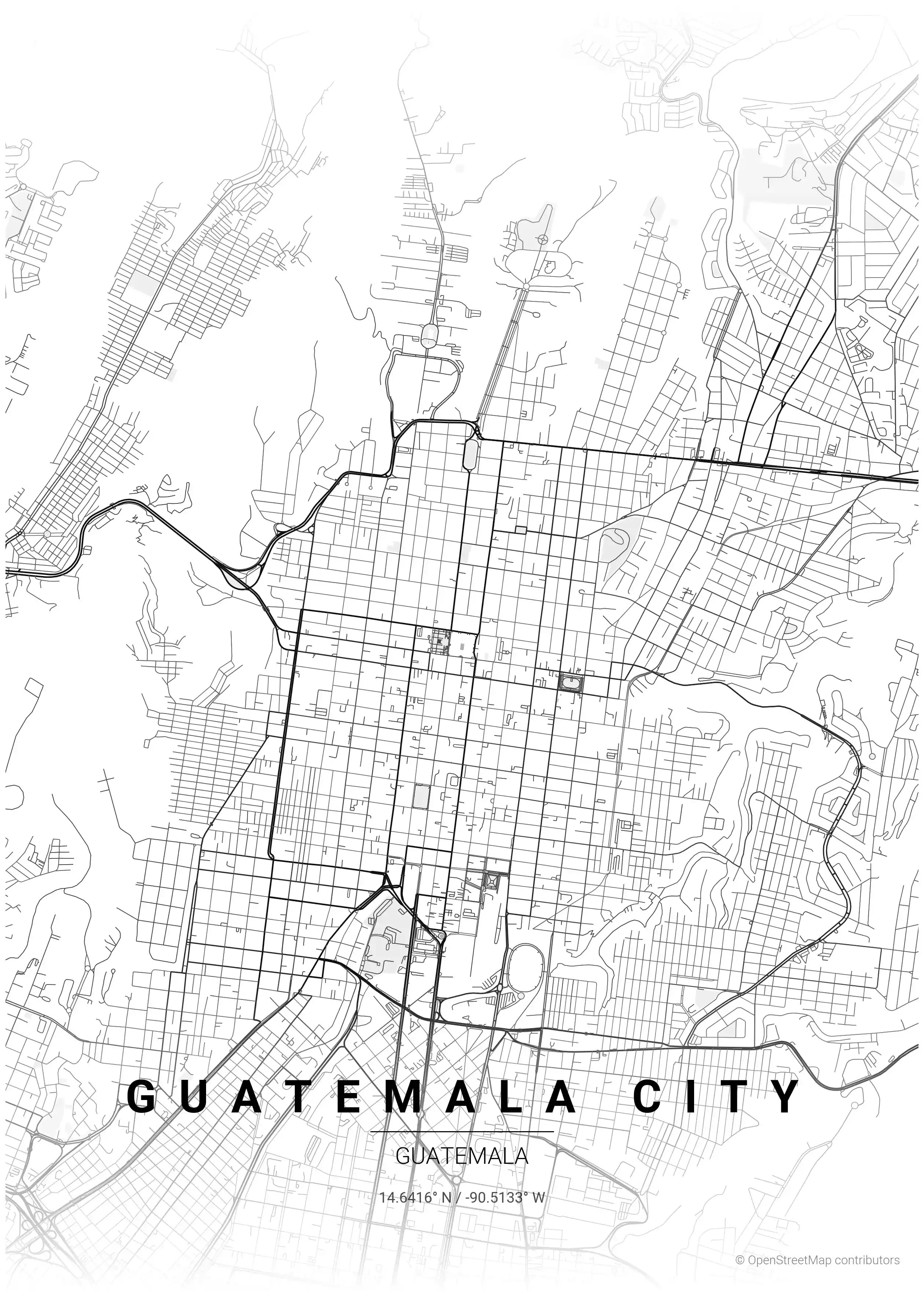
Browse the free street map of Guatemala’s featured city: Guatemala City, the highland capital whose plateau, deep ravines, and numbered zonas make for one of the most unusual layouts in Central America.
Continuing the regional collection, you can also explore neighbouring Mexico city maps and Honduras city maps for more of the area’s distinctive urban layouts.
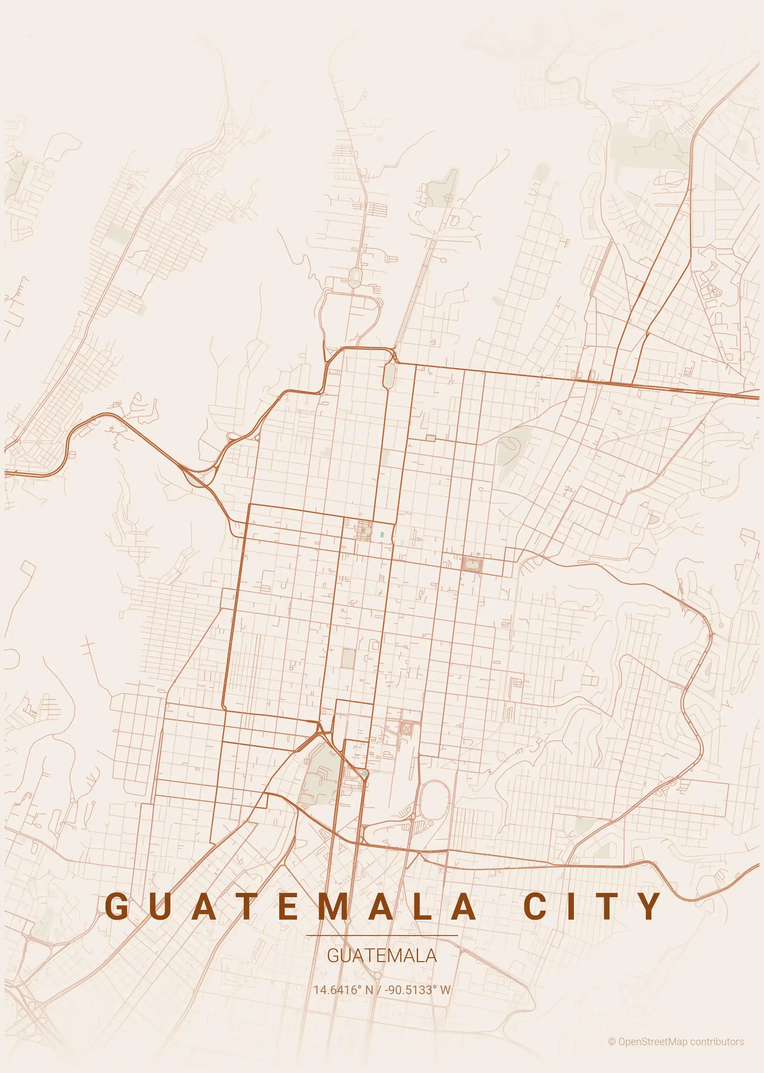
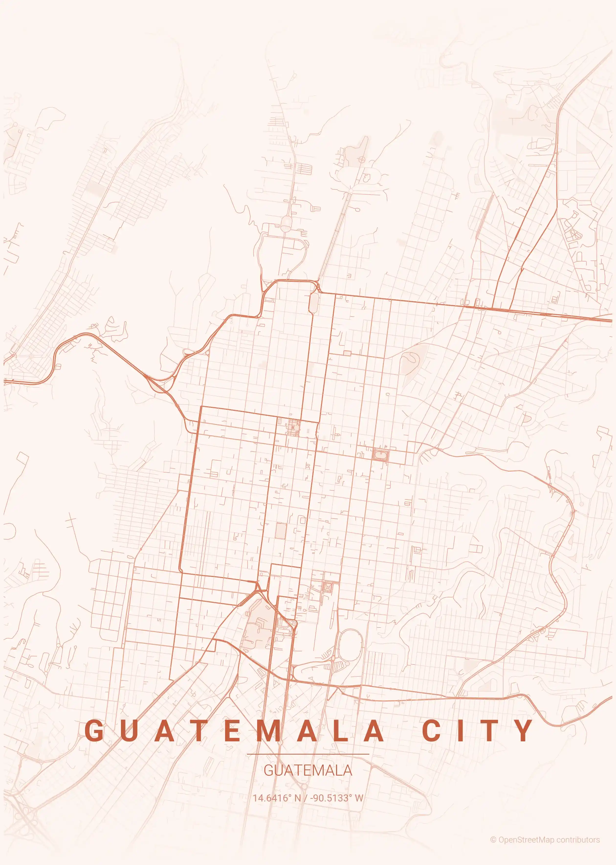
Every city map is available in 9 artistic themes. The forest green palette nods to Guatemala’s lush highland vegetation, while the terracotta theme echoes the warm earth tones of the region. All posters are free to download, printable at home or by a print shop, and ready to hang.
More North America City Maps
Explore More Cities
Discover map posters from cities across North America in our complete collection.