Honduras City Map
Free street map posters of 1 city
A minimalist map of Honduras and its cities. Explore free, printable street map posters of Tegucigalpa — each city mapped in 9 artistic themes and available as a high-resolution download.
Cities of Honduras on the map: Tegucigalpa.
About Honduras City Maps
Looking for a Honduras city map? This collection gathers free, printable street map posters of the country’s urban centres, drawn in a clean minimalist style that turns each tangle of roads, rivers, and ridgelines into framable wall art. Every street map is offered as a high-resolution file you can download for free and print at home or through a local shop.
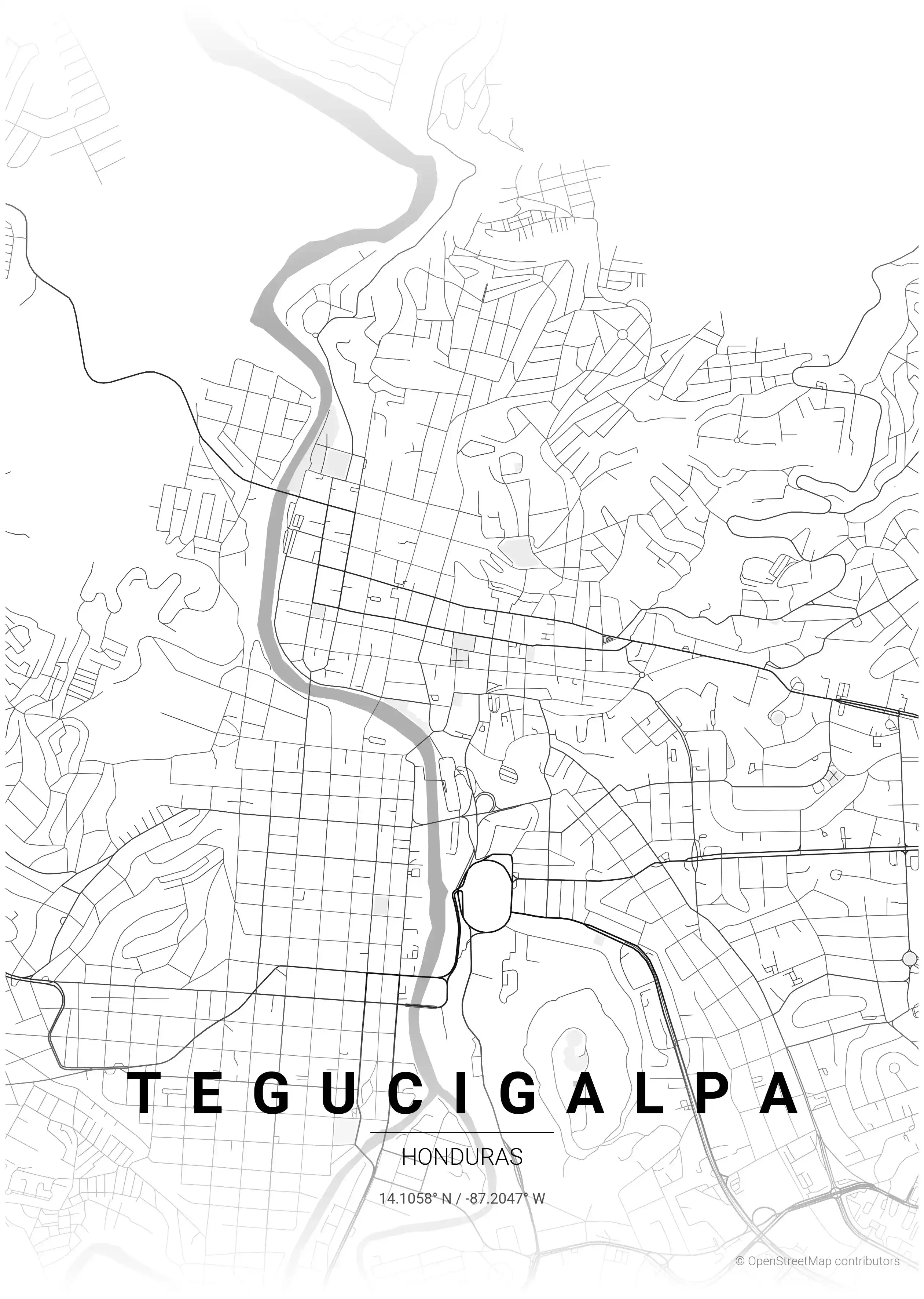
Honduran cities have a distinctive look on the map. Rather than the strict colonial grids common across Latin America, places like the capital negotiate steep, mountainous terrain — streets fold around valleys, switch back up hillsides, and trace the rivers that thread through their basins. The result is an organic, dramatic layout that reads beautifully as a poster.
Browse free street maps of Honduras cities: Tegucigalpa, the mountain-set capital where the Choluteca River divides the city from Comayagüela and the colonial centre gathers around Parque Central. More Honduran cities will join the collection over time.
Exploring the rest of Central America? Pair your print with neighbouring hubs such as Guatemala city maps and Nicaragua city maps, each rendered in the same minimalist style for a consistent gallery wall.
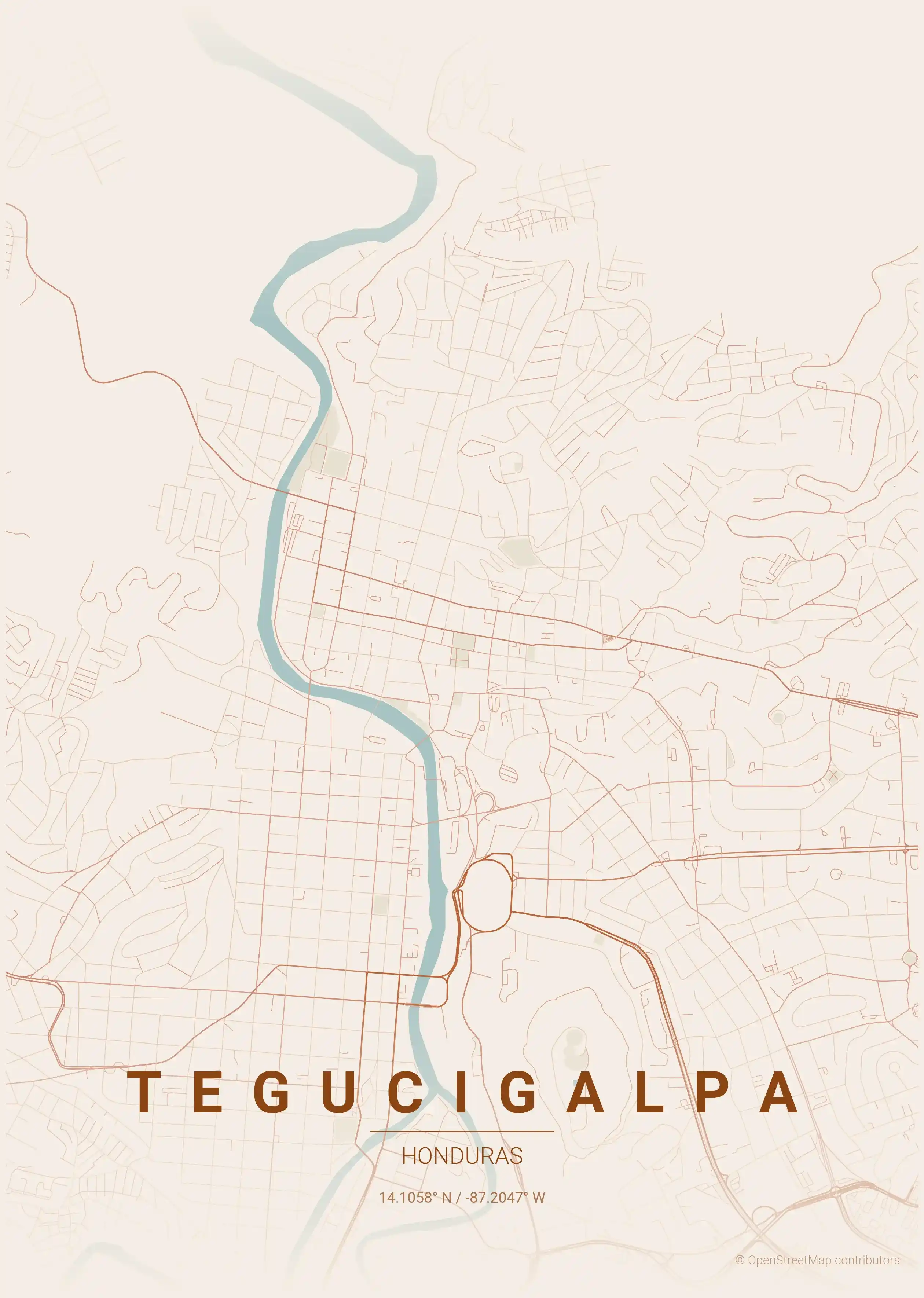
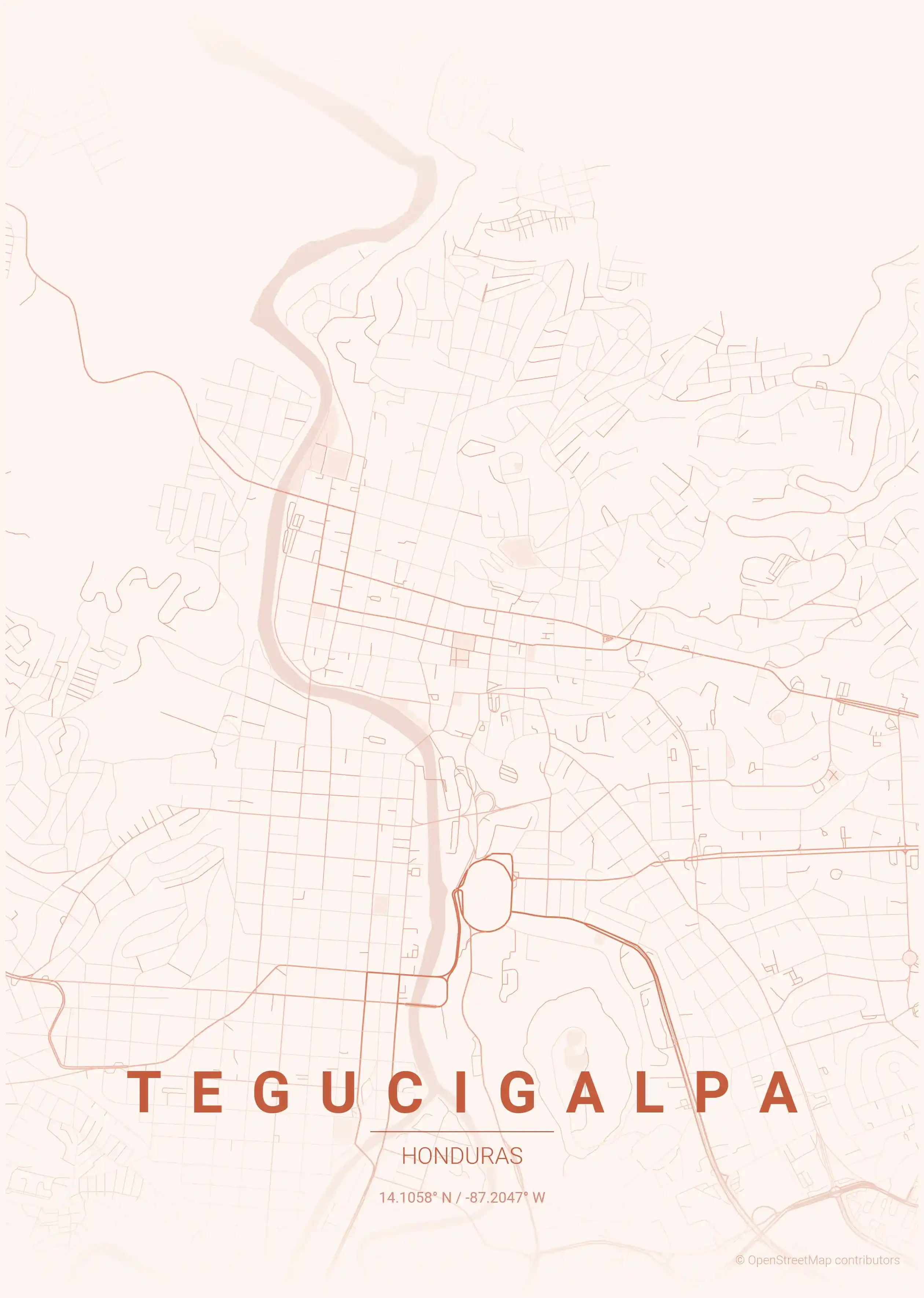
Each city map comes in nine artistic themes, from a forest palette that echoes Honduras’ pine-covered highlands to crisp blueprint and warm terracotta tones. All files are free to download at high resolution — choose a city, pick a theme, and print a piece of Honduras for your wall.
More North America City Maps
Explore More Cities
Discover map posters from cities across North America in our complete collection.