Belize City Map
Free street map posters of 1 city
A minimalist map of Belize and its cities. Explore free, printable street map posters of Belize City — each city mapped in 9 artistic themes and available as a high-resolution download.
Cities of Belize on the map: Belize City.
About Belize City Maps
Looking for a Belize city map you can print and hang? This is the place to start. We offer free, high-resolution street map posters of cities in Belize, rendered in a clean minimalist style that turns a real urban layout into wall art. Every file is print-ready and free to download.
Belize sits on the Caribbean coast of Central America, and its English-speaking, Creole-flavoured towns wear their British colonial past in their street plans. Waterfront grids, river channels and the warm pull of the sea shape the map far more than any rigid master plan, giving Belizean cities an organic character that reads beautifully as line art.
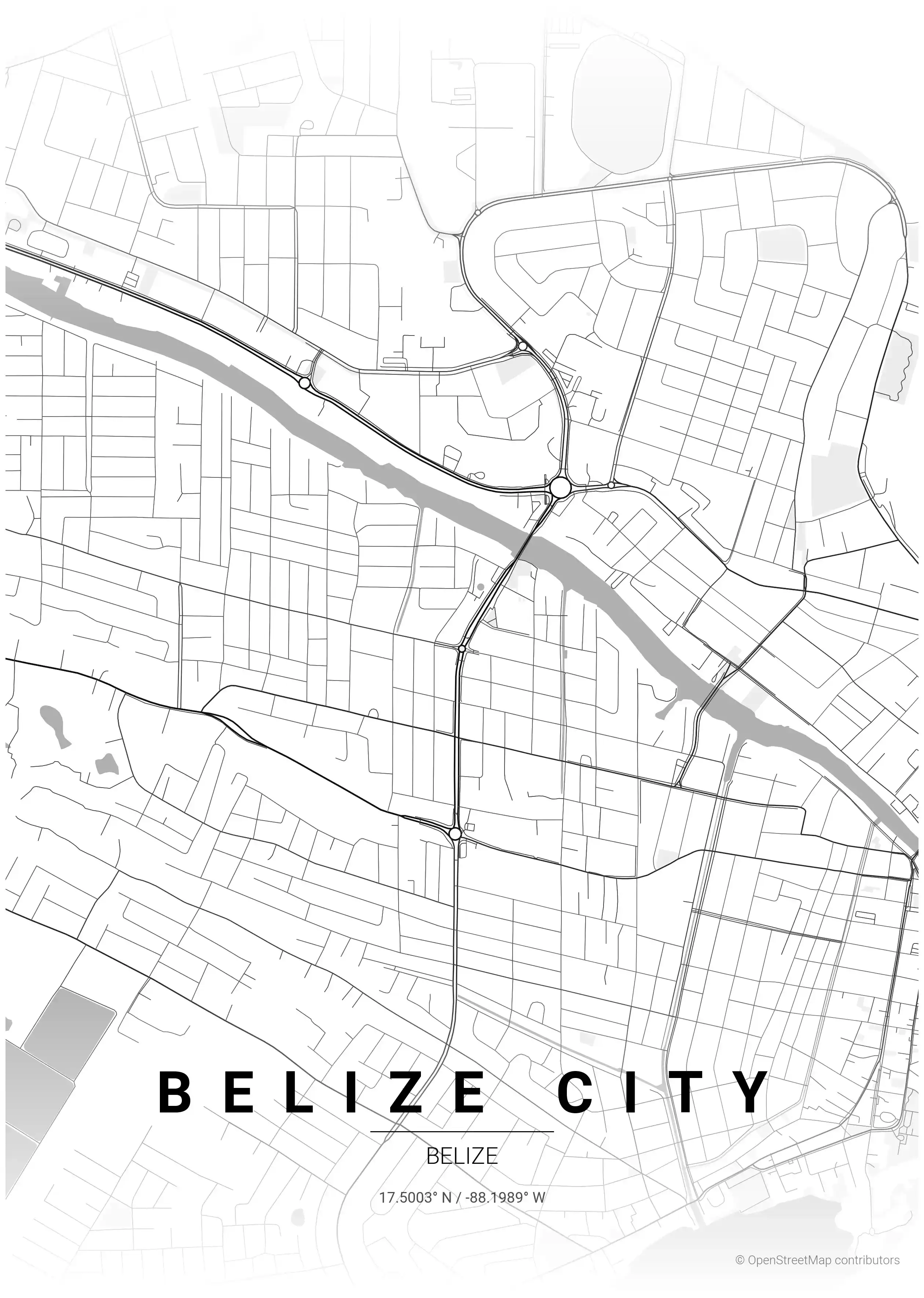
Browse the free street map of Belize’s principal city: Belize City, the historic Caribbean gateway split by Haulover Creek and joined by its landmark Swing Bridge. Its colonial Fort George district, the Baron Bliss Lighthouse and the harbour waterfront all show up clearly on the printable poster.
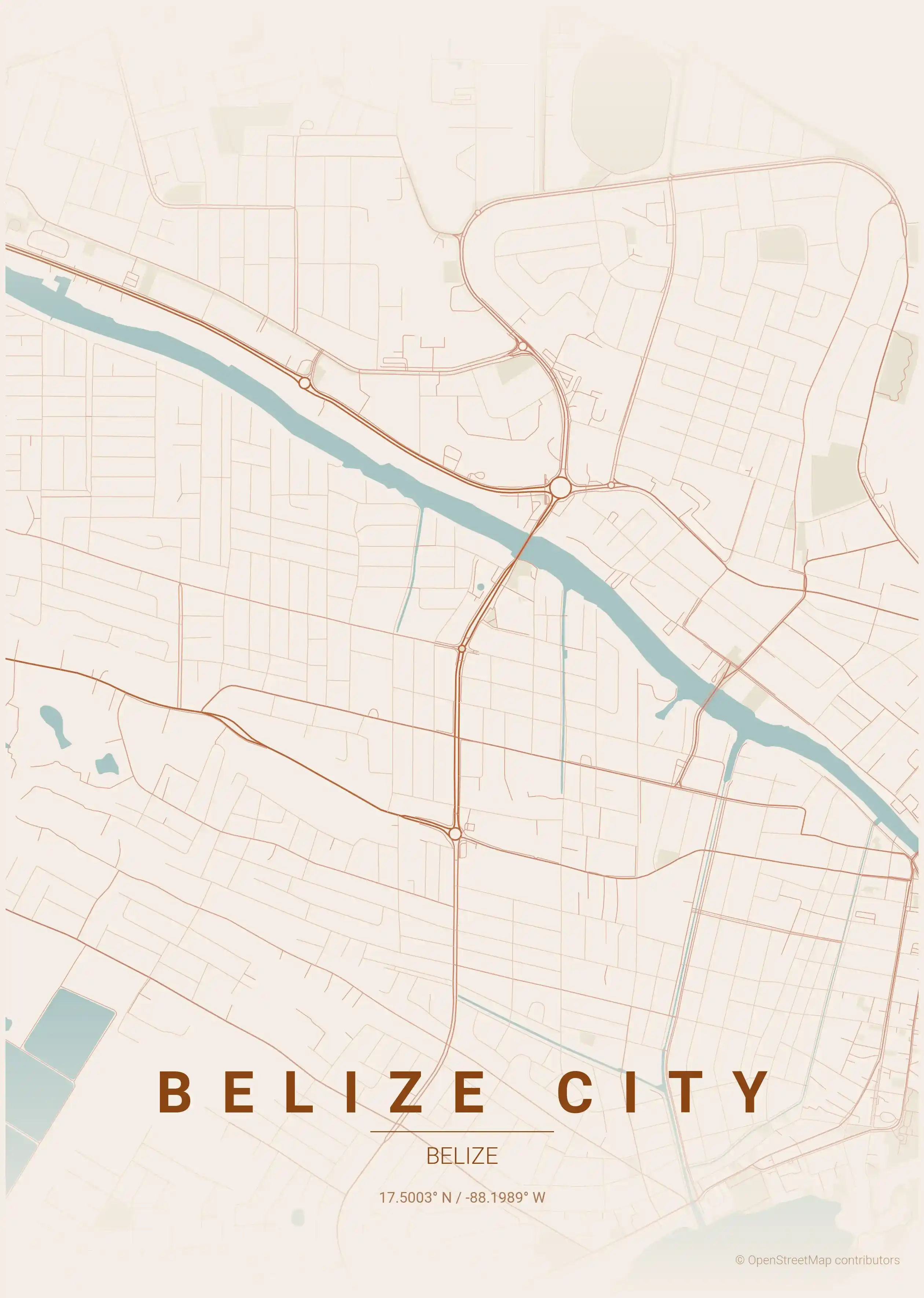
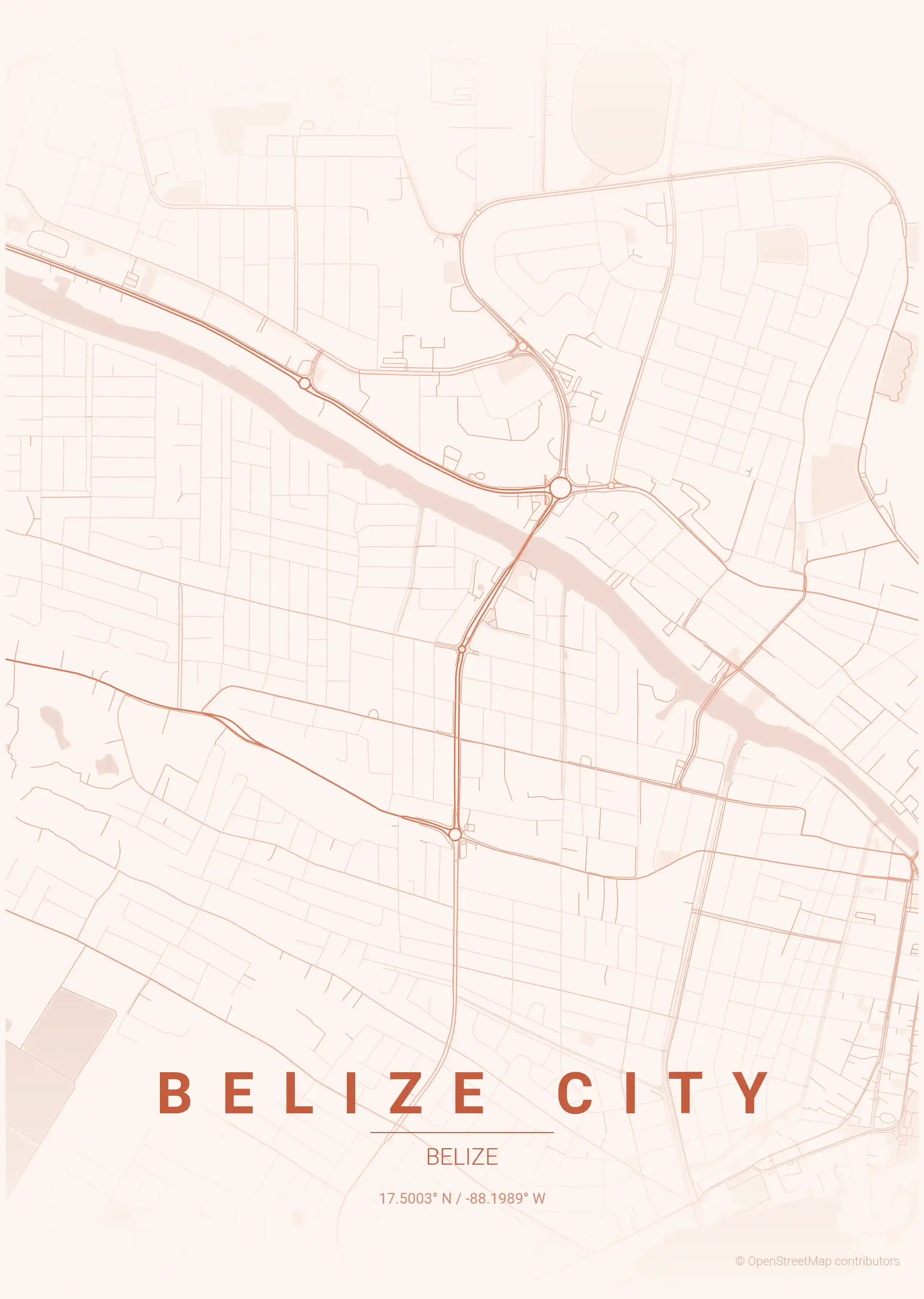
Each city map comes in nine artistic themes, from cool blueprint blues to a warm Caribbean sunset, so you can match the print to your room. Whether it is a keepsake of a Belize trip or a piece of map decor, the download is instant and free.
Travelling the region? Compare the urban layouts of neighbouring countries with our Mexico city maps and Guatemala city maps, or explore more of the Americas from there.
More North America City Maps
Explore More Cities
Discover map posters from cities across North America in our complete collection.