Cuba City Map
Free street map posters of 1 city
A minimalist map of Cuba and its cities. Explore free, printable street map posters of Havana — each city mapped in 9 artistic themes and available as a high-resolution download.
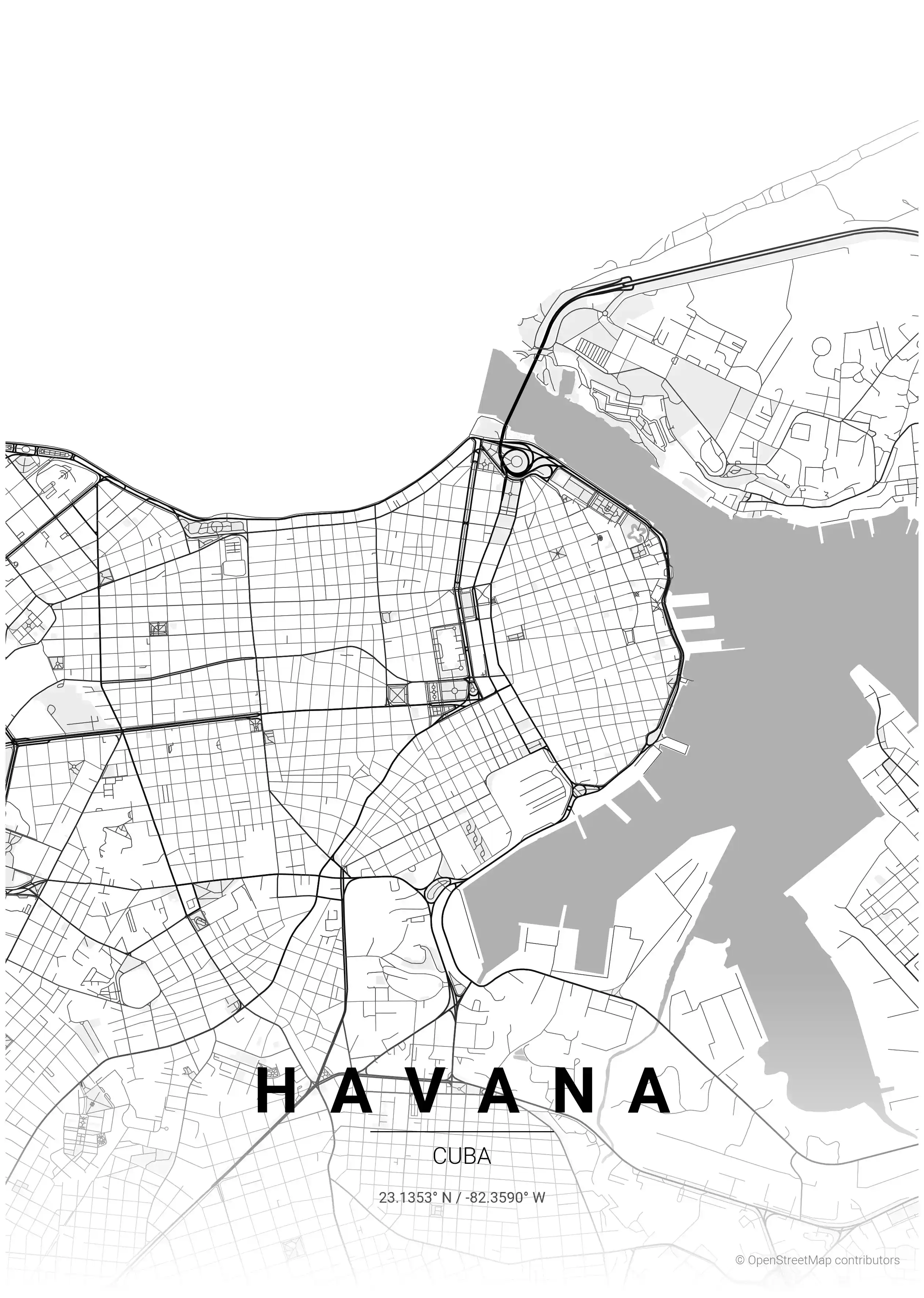
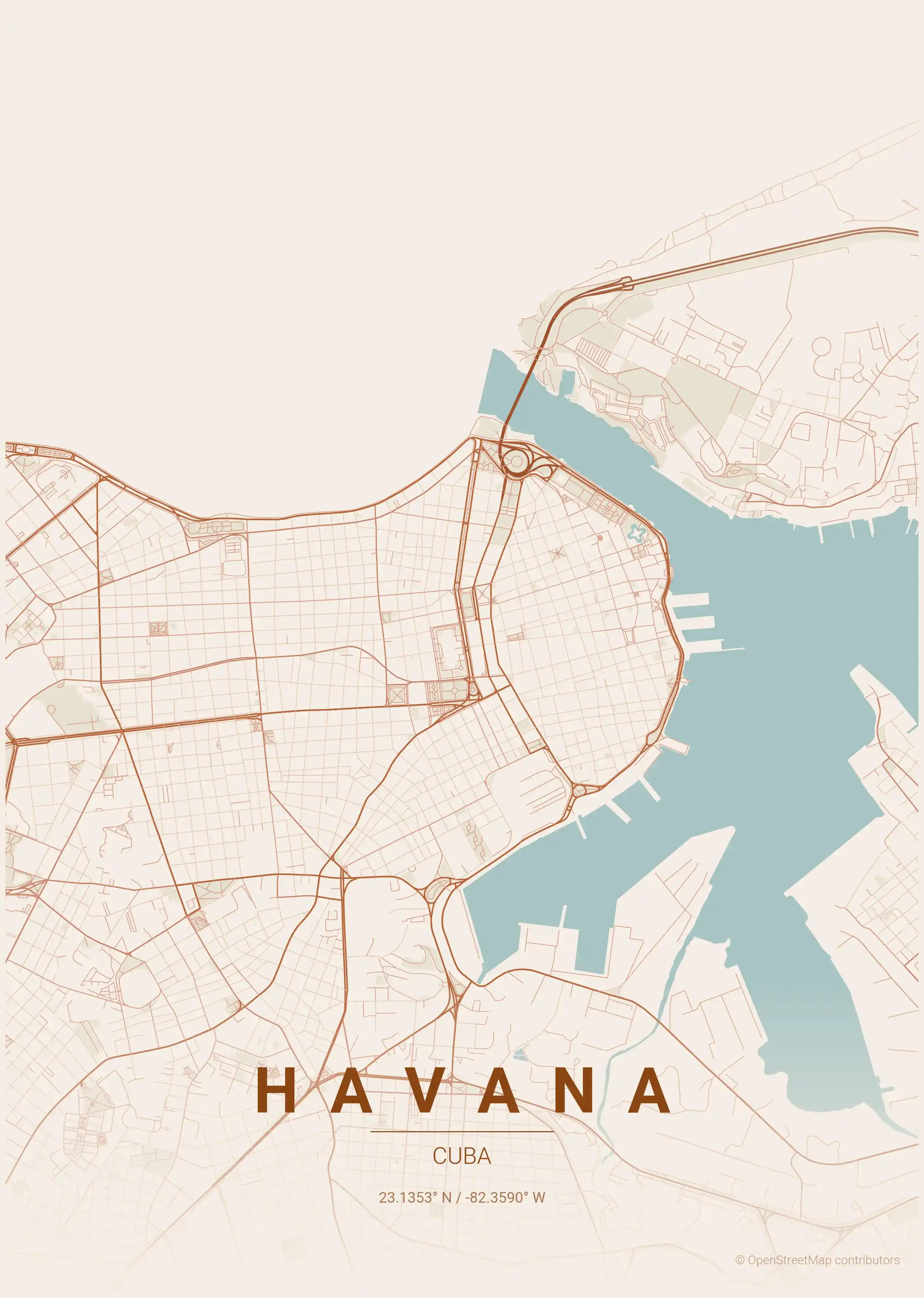
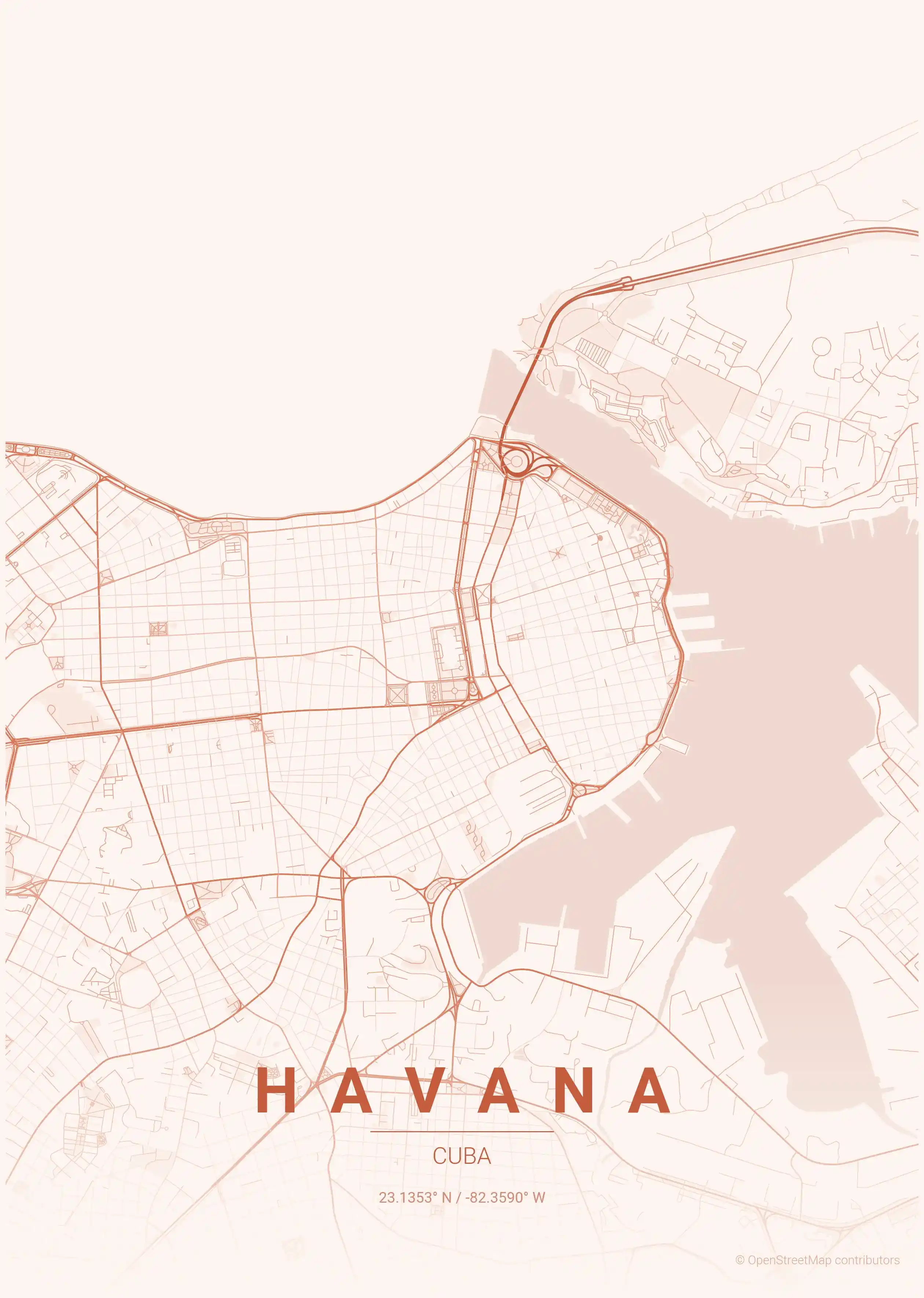
Cities of Cuba on the map: Havana.
About Cuba City Maps
Looking for a Cuba city map? This collection gathers free, printable street map posters of Cuban cities, redrawn as minimalist line art. Each city map traces the real road network — from coastal promenades to the dense colonial grids of the historic centres — so you get an accurate street map that also works as wall art.
Cuba’s urban character was shaped by centuries of Spanish colonial planning. Tight blocks of narrow streets fill the old quarters, while broader avenues and seafront drives open up the newer districts. Because so much of the island stayed frozen in time, those original street patterns survive remarkably intact, which makes for unusually evocative maps.
Browse free street maps of 1 Cuban city: Havana. Each poster is offered in nine artistic themes — including a terracotta palette that echoes Havana’s faded pastel facades and a warm beige tone that mirrors the island’s sun-bleached colonial stone.
Every file is a high-resolution, print-ready download, so you can size a Havana city map for anything from a small frame to a large gallery print at home. All downloads are free, with no signup required.
Exploring the wider Caribbean and the Americas? See our Dominican Republic city maps and Jamaica city maps for more regional street map posters, or head to the Mexico city maps hub on the mainland.
More North America City Maps
Explore More Cities
Discover map posters from cities across North America in our complete collection.