Jamaica City Map
Free street map posters of 1 city
A minimalist map of Jamaica and its cities. Explore free, printable street map posters of Kingston — each city mapped in 9 artistic themes and available as a high-resolution download.
Cities of Jamaica on the map: Kingston.
About Jamaica City Maps
Looking for a Jamaica city map to print and frame? This collection turns the island’s urban layouts into clean, minimalist street map posters that you can download for free in high resolution. Each design strips a city back to its essential lines — roads, coastline, blocks and waterways — so the geography reads as art on your wall.
Jamaican cities have a distinctive shape, defined by the meeting of mountain and sea. Colonial-era grids hug the flat coastal plains while residential streets climb into the surrounding hills in looser, more organic patterns. That contrast between rigid planning and tropical topography is exactly what makes these city maps so striking as decor.
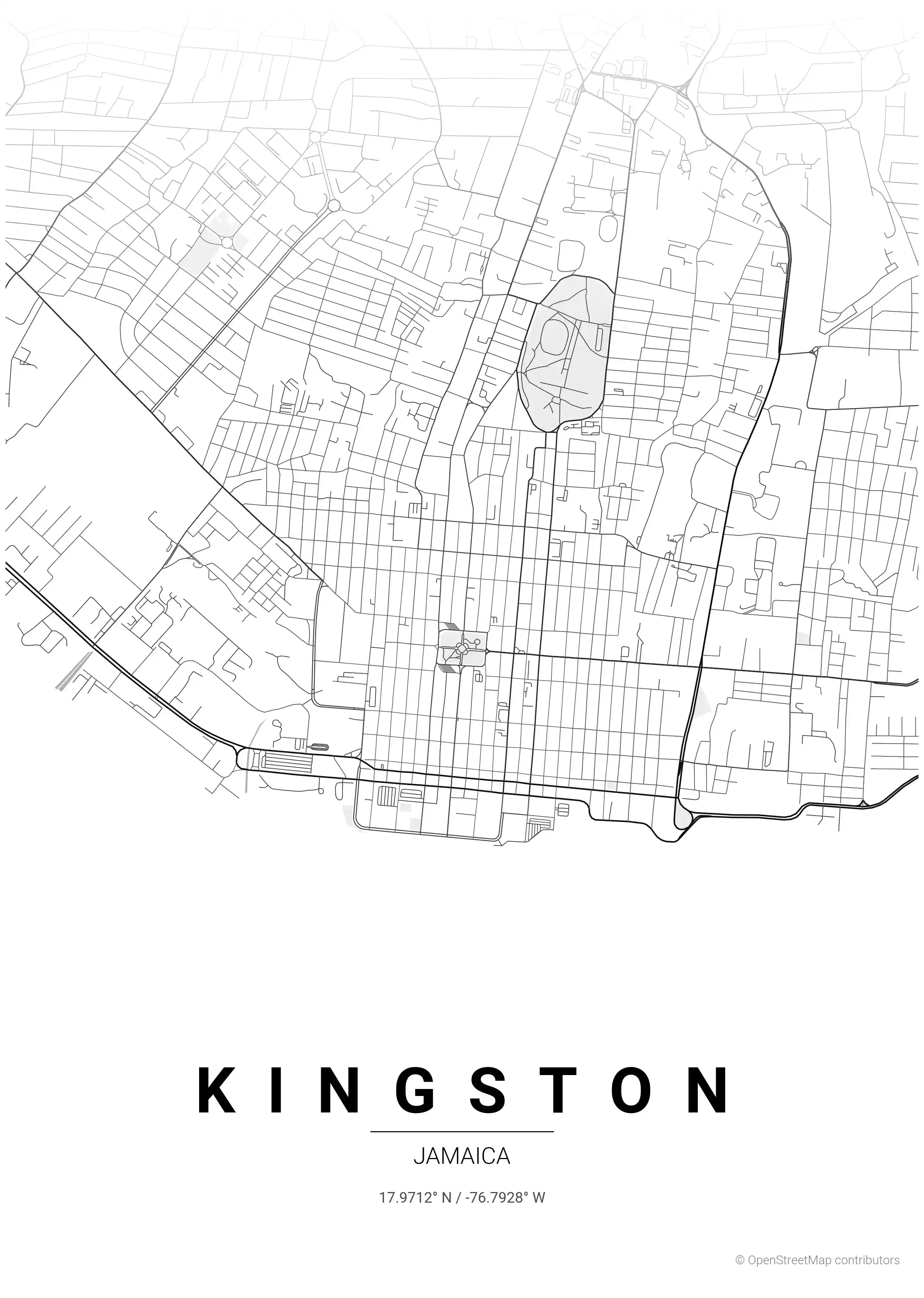
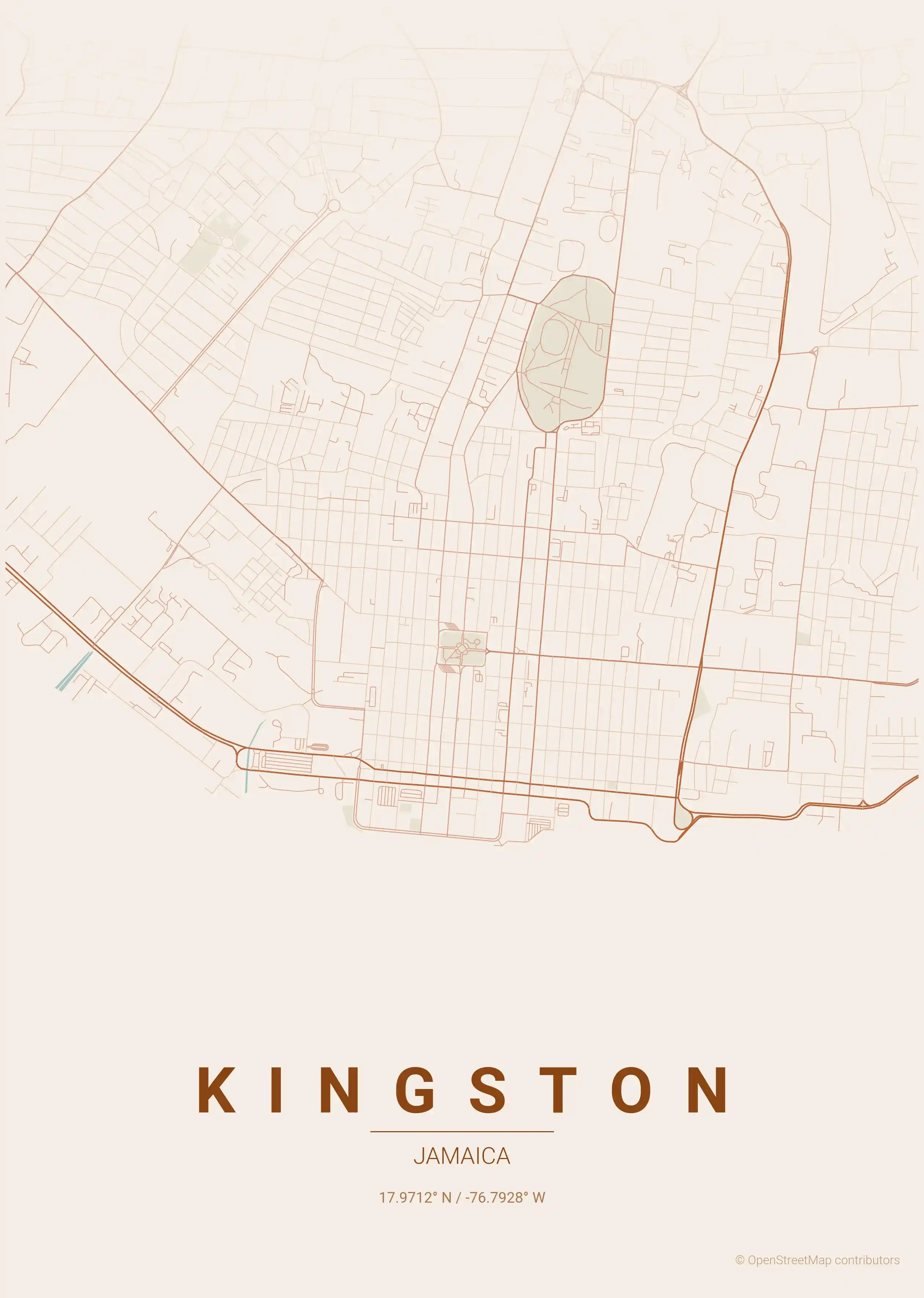
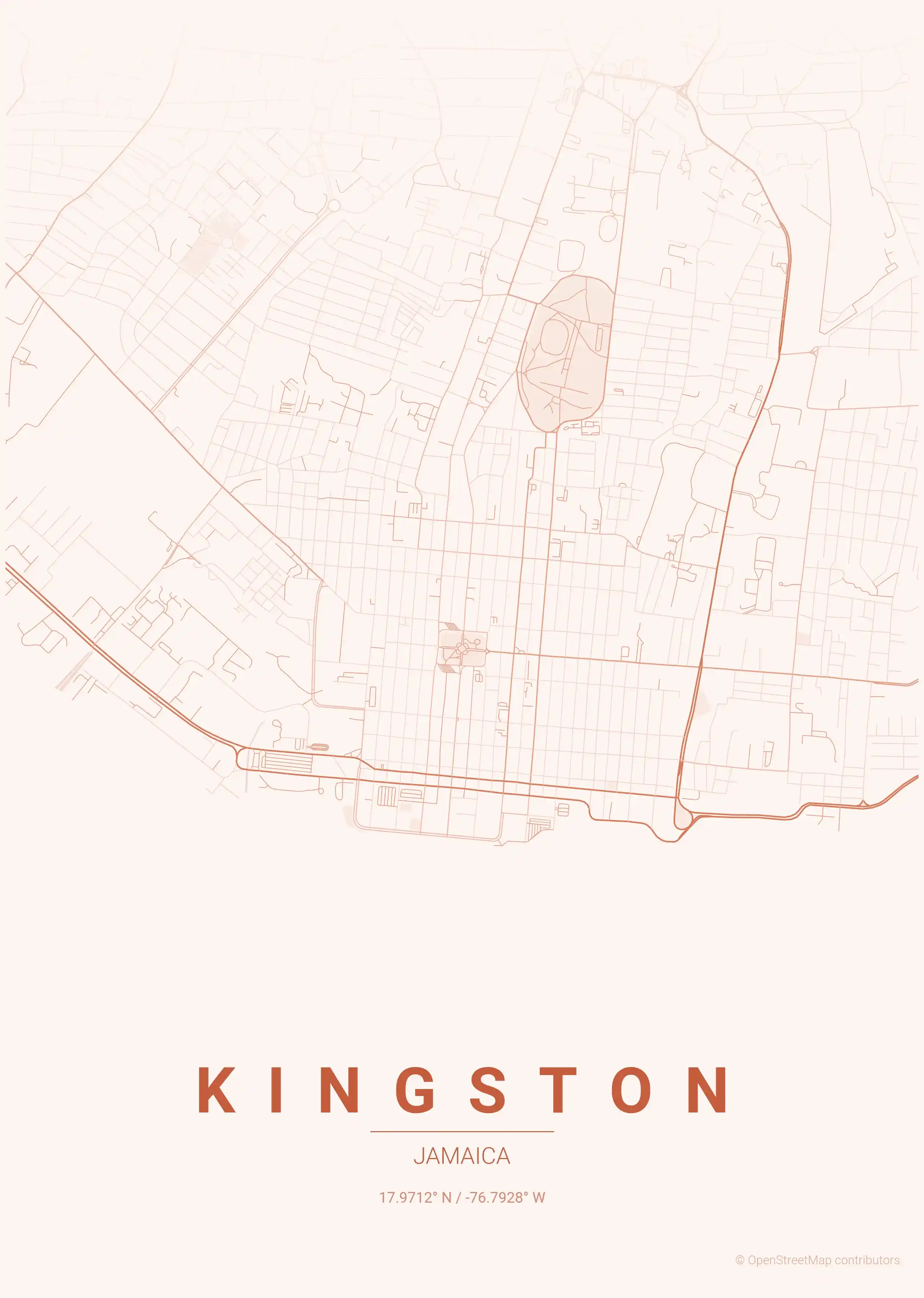
Browse free street maps of 1 Jamaica city: Kingston. The capital sprawls across the Liguanea Plain, framed by one of the world’s largest natural harbours to the south and the Blue Mountains to the north — a layout full of visual scale and variety.
Every printable poster comes in 9 artistic themes, from a warm sunset palette that echoes Jamaica’s golden light to a neon cyberpunk look that nods to Kingston’s music and nightlife. All downloads are free, print-ready and require no signup.
Exploring more of the Caribbean? Take a look at our Cuba city maps and Dominican Republic city maps for more island street map posters in the same minimalist style.
More North America City Maps
Explore More Cities
Discover map posters from cities across North America in our complete collection.