Dominican Republic City Map
Free street map posters of 1 city
A minimalist map of Dominican Republic and its cities. Explore free, printable street map posters of Santo Domingo — each city mapped in 9 artistic themes and available as a high-resolution download.
Cities of Dominican Republic on the map: Santo Domingo.
About Dominican Republic City Maps
Looking for a Dominican Republic city map to print and frame? This collection turns the country’s urban grids into clean, minimalist wall art. Each street map is a free, high-resolution download offered in nine artistic themes, so you can match a poster to any room.
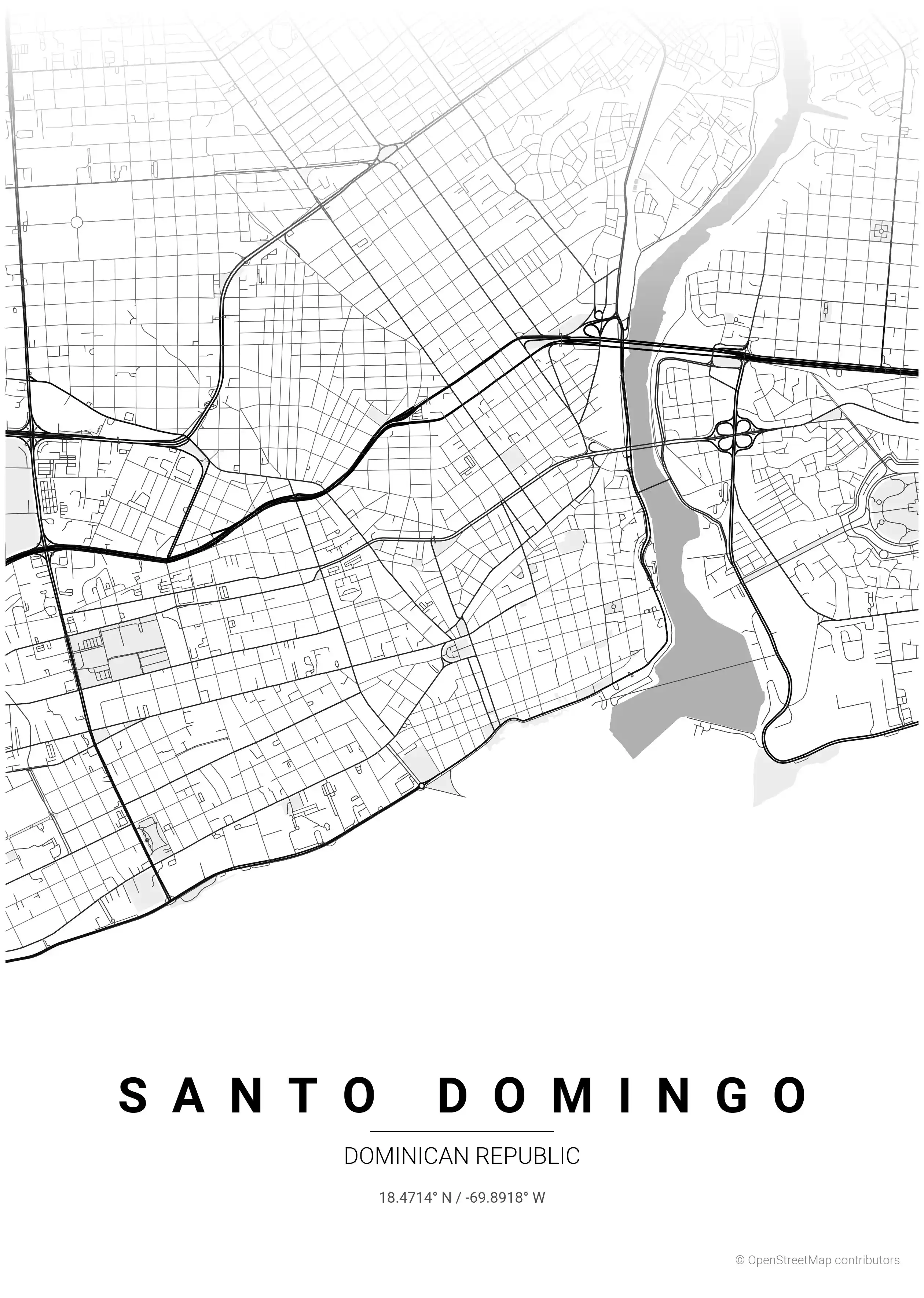
Browse free street maps of Dominican Republic cities: Santo Domingo — the capital and oldest European-established city in the Americas. Its UNESCO-listed Zona Colonial, laid out in the early 1500s along the Ozama River, anchors a sprawling Caribbean metropolis that has grown around its historic core.
The country’s urban character is one of contrast: the tight colonial blocks near the waterfront give way to wide modern avenues and irregular residential patterns. On a printable city map this produces real visual narrative, from the New World’s first planned streets to the busy spine of a contemporary capital.
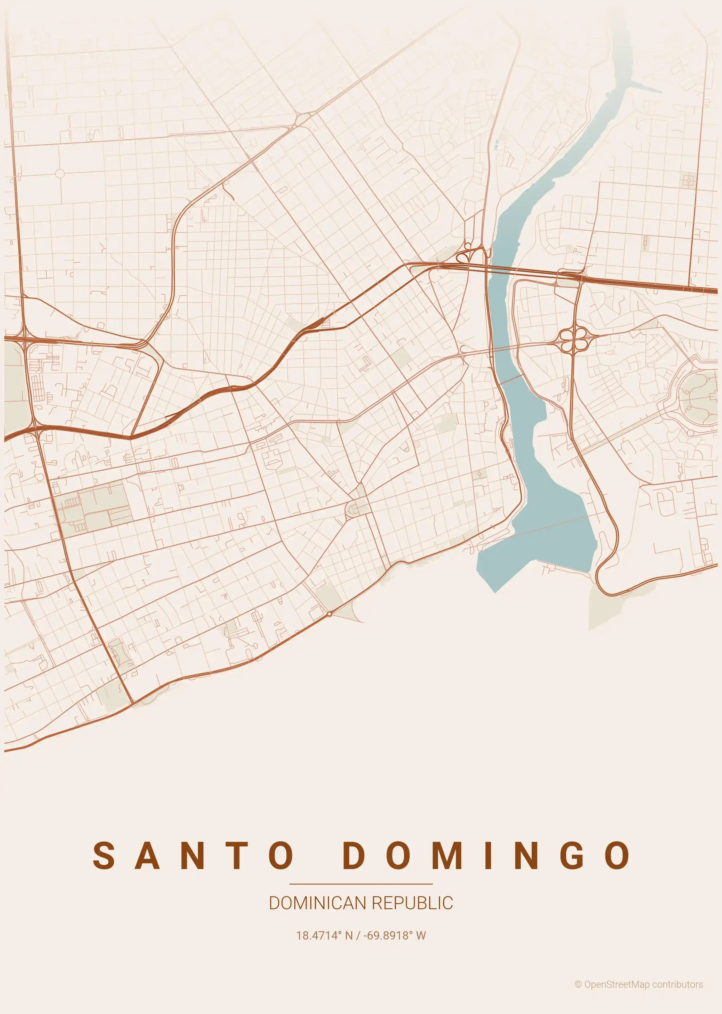
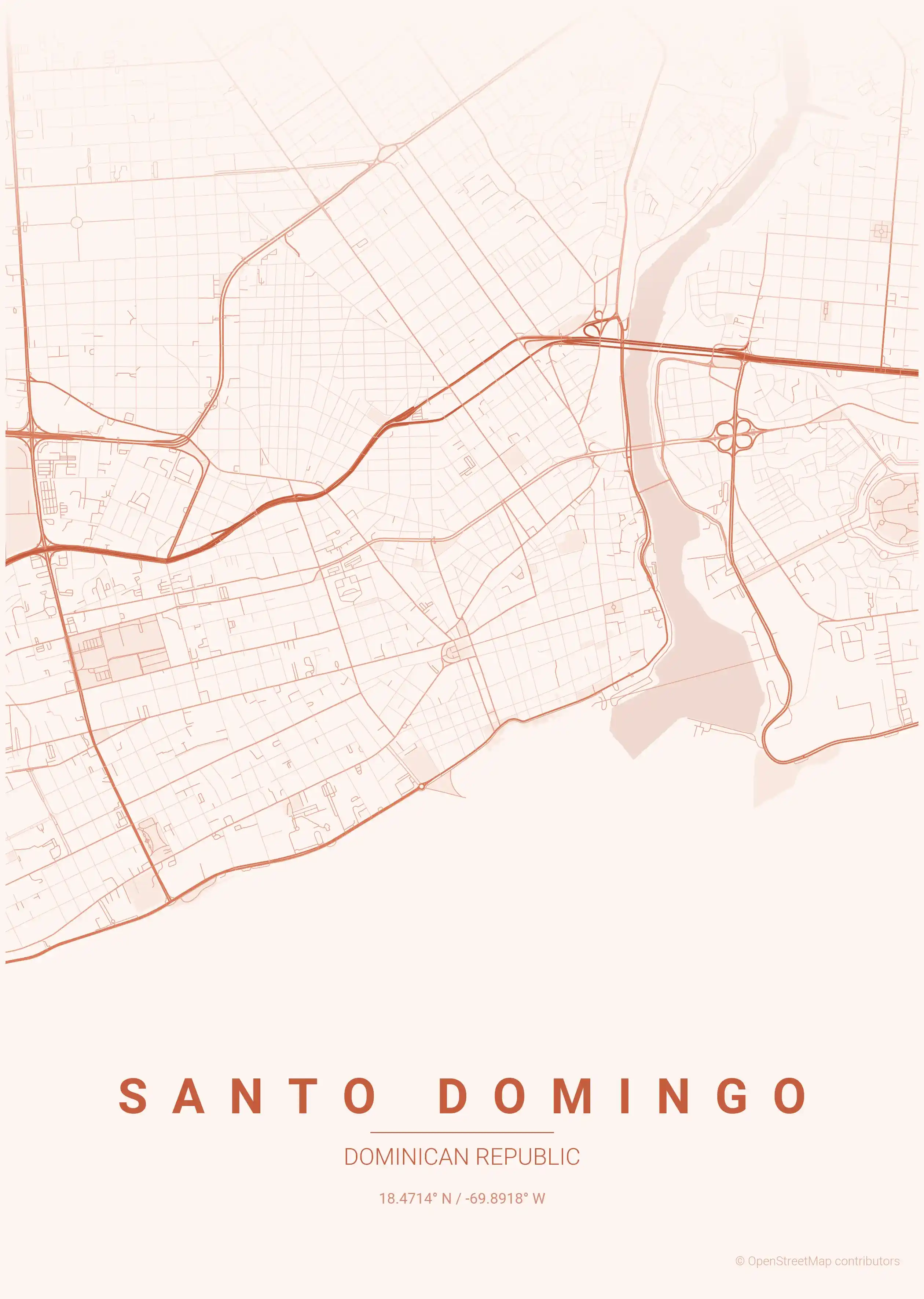
Every map is print-ready and free to download. The sunset palette captures the golden Caribbean light, while the terracotta theme echoes the warm tones of colonial architecture — pick the look that suits your wall.
Exploring the wider Caribbean and Latin America? Compare with Cuba city maps, Puerto Rico city maps and Mexico city maps.
More North America City Maps
Explore More Cities
Discover map posters from cities across North America in our complete collection.