Puerto Rico City Map
Free street map posters of 1 city
A minimalist map of Puerto Rico and its cities. Explore free, printable street map posters of San Juan — each city mapped in 9 artistic themes and available as a high-resolution download.
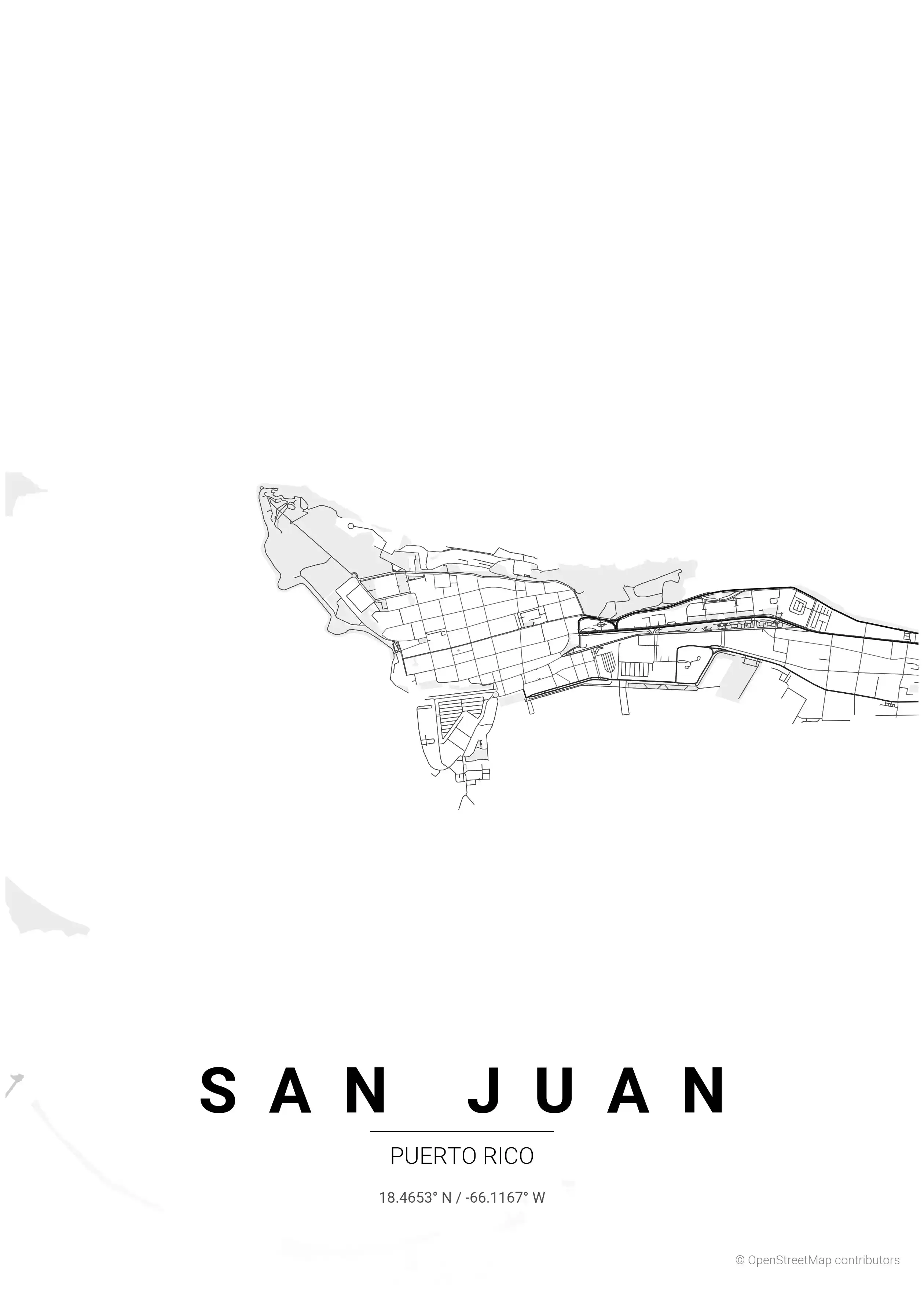
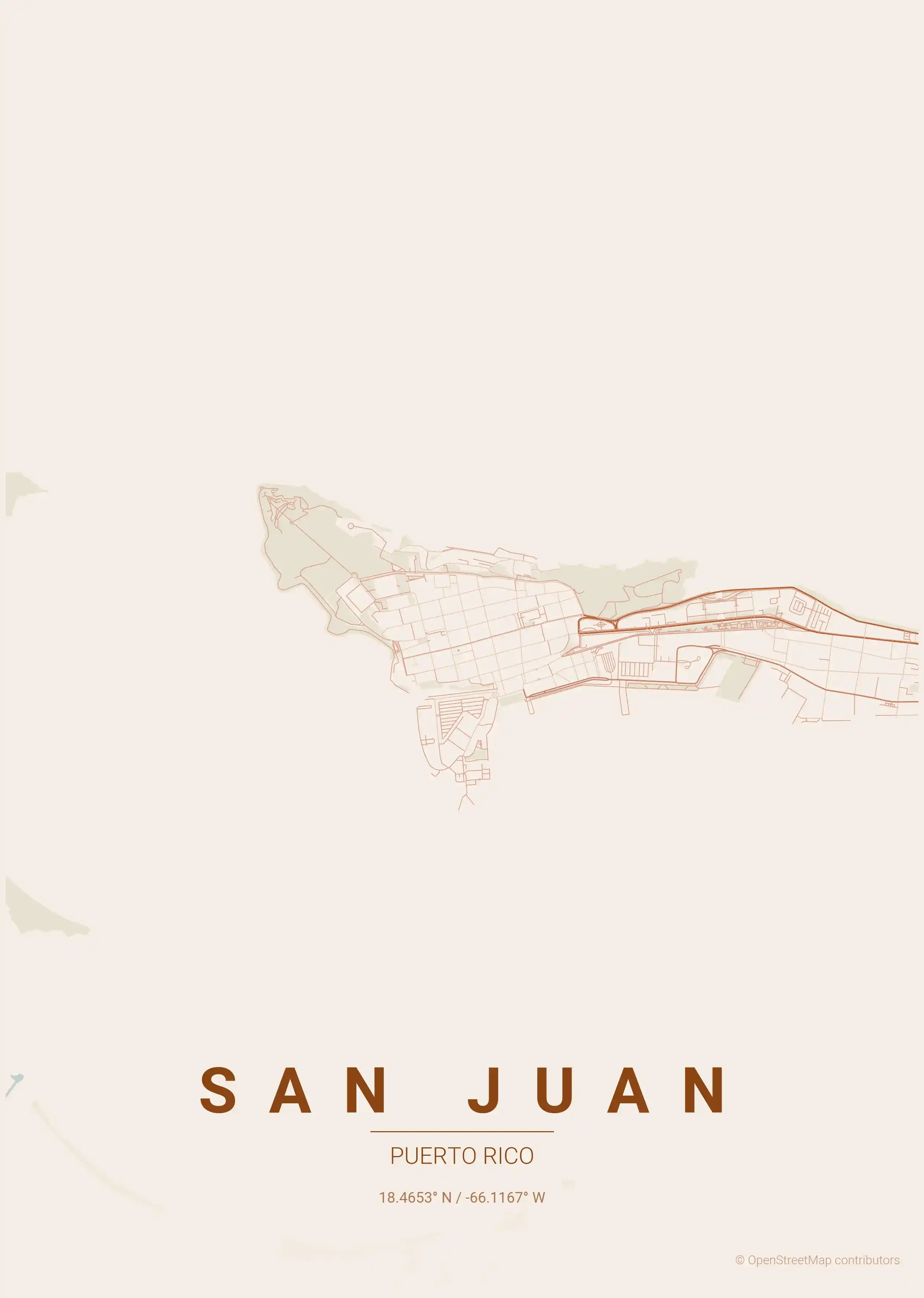
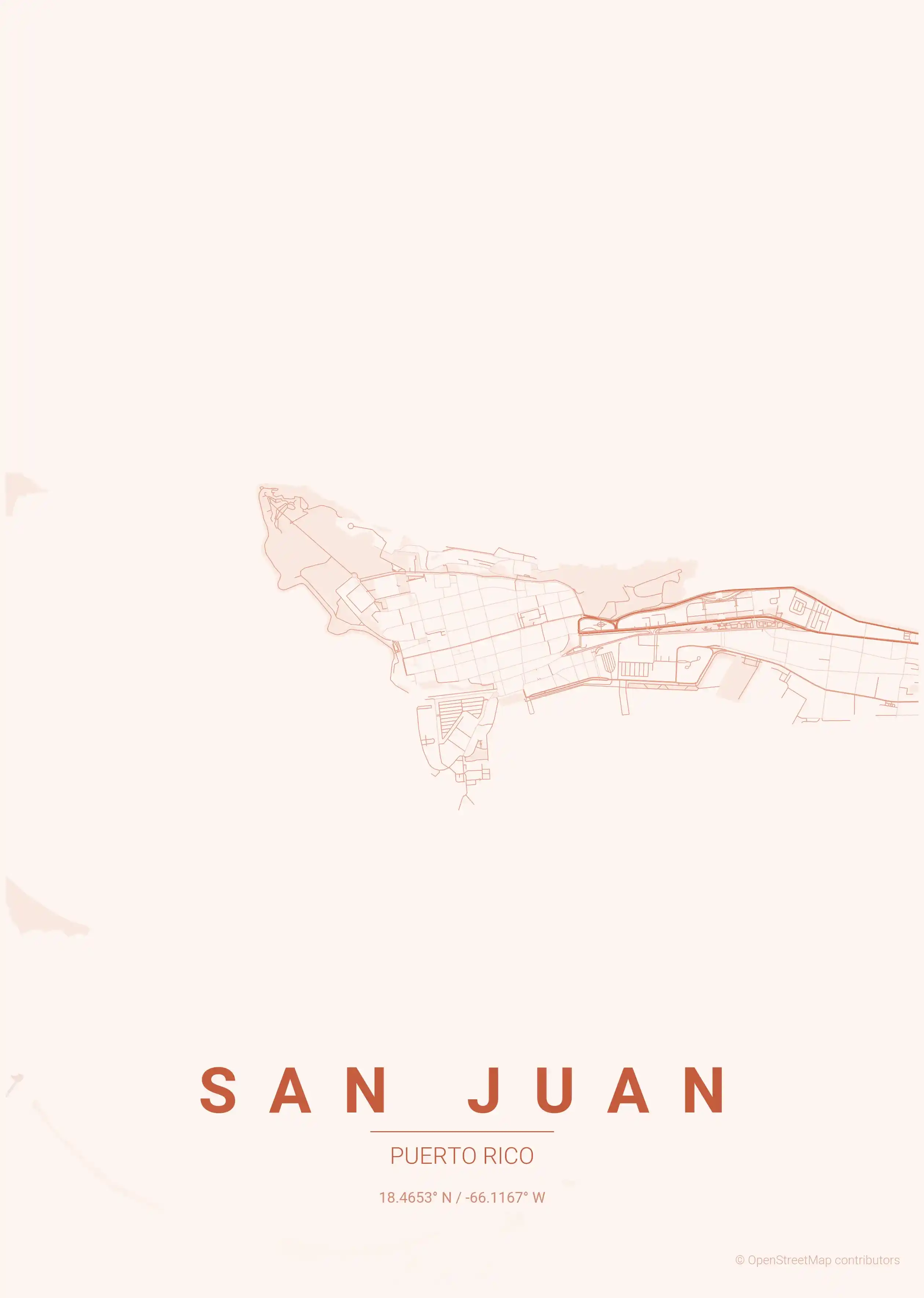
Cities of Puerto Rico on the map: San Juan.
About Puerto Rico City Maps
Looking for a Puerto Rico city map? This collection offers free, printable street map posters of the island’s cities, rendered in a clean minimalist style that turns familiar streets into wall art. Each city map is a high-resolution download, ready to print at home or send to a poster shop.
Browse free street maps of Puerto Rico’s cities: San Juan, the capital and the heart of the island’s only large metropolitan area. San Juan’s map tells two stories at once — the compact, walled grid of Old San Juan laid out by Spanish engineers, and the wide modern avenues of Condado, Santurce and the sprawling districts beyond.
Puerto Rico’s urban character is unmistakably Caribbean and unmistakably layered: five centuries of Spanish colonial planning sit beneath a century of American influence, producing street patterns you rarely see elsewhere. The dense headland of the old town, ringed by fortress walls and the Atlantic, contrasts sharply with the highway-fed expansion inland — a contrast that makes for a striking printable poster.
If you are mapping more of the Caribbean and the Americas, explore our Dominican Republic city maps and our United States city maps for more free, high-resolution street map downloads in the same minimalist style.
Every Puerto Rico street map here is free to download and comes in nine artistic themes, from a terracotta palette that echoes the painted façades of Old San Juan to a Caribbean sunset tone — all print-ready, with no signup required.
More North America City Maps
Explore More Cities
Discover map posters from cities across North America in our complete collection.