Santo Domingo Street Map Poster
Free printable Dominican Republic city map & outline — contrast zones theme
Free high-resolution downloads. Print anywhere you like.
Digital Download
Free
High-resolution digital file
What You Get
- High-resolution WebP file
- Optimized for any print size
- Multiple artistic themes
- Free for personal use
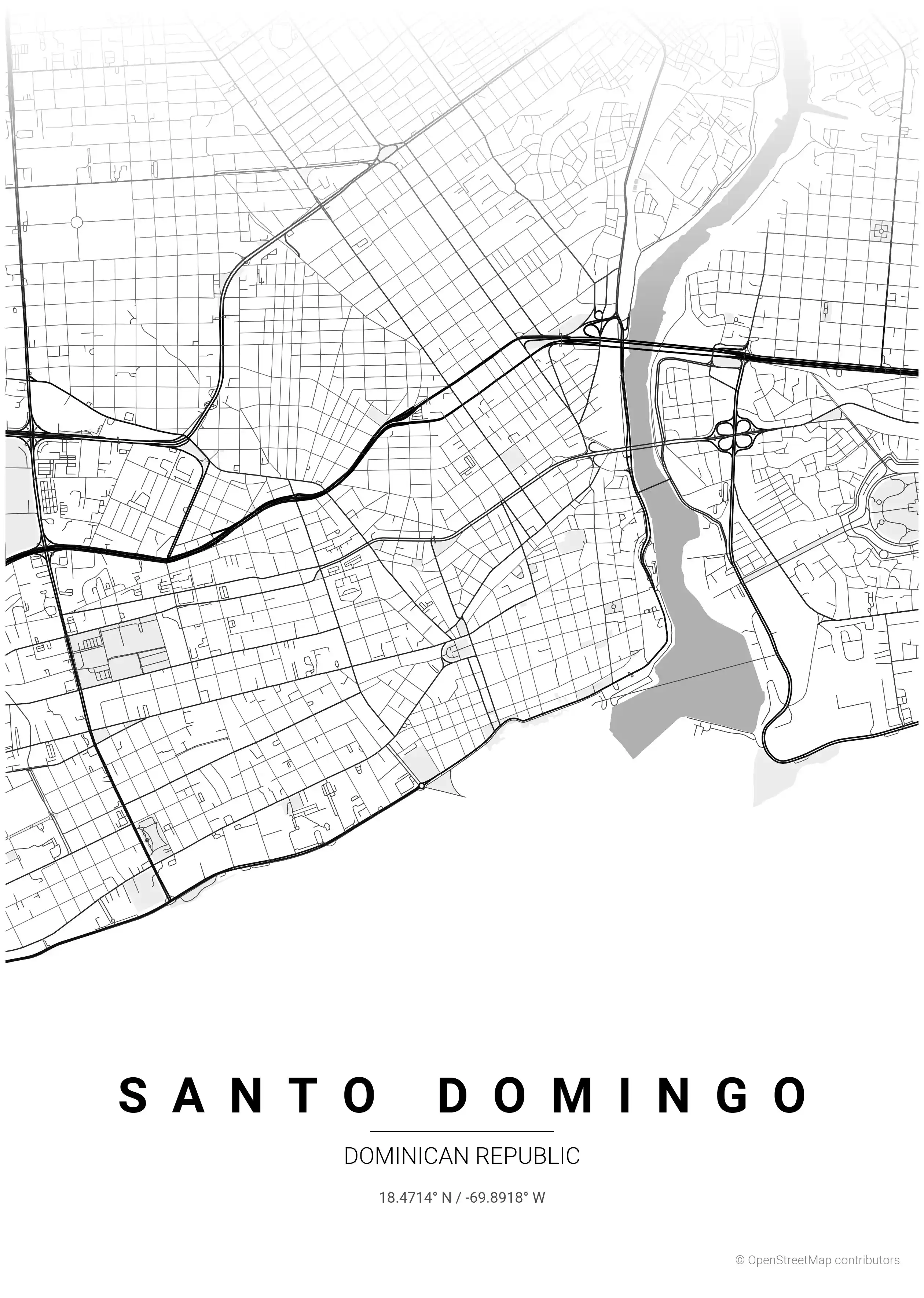
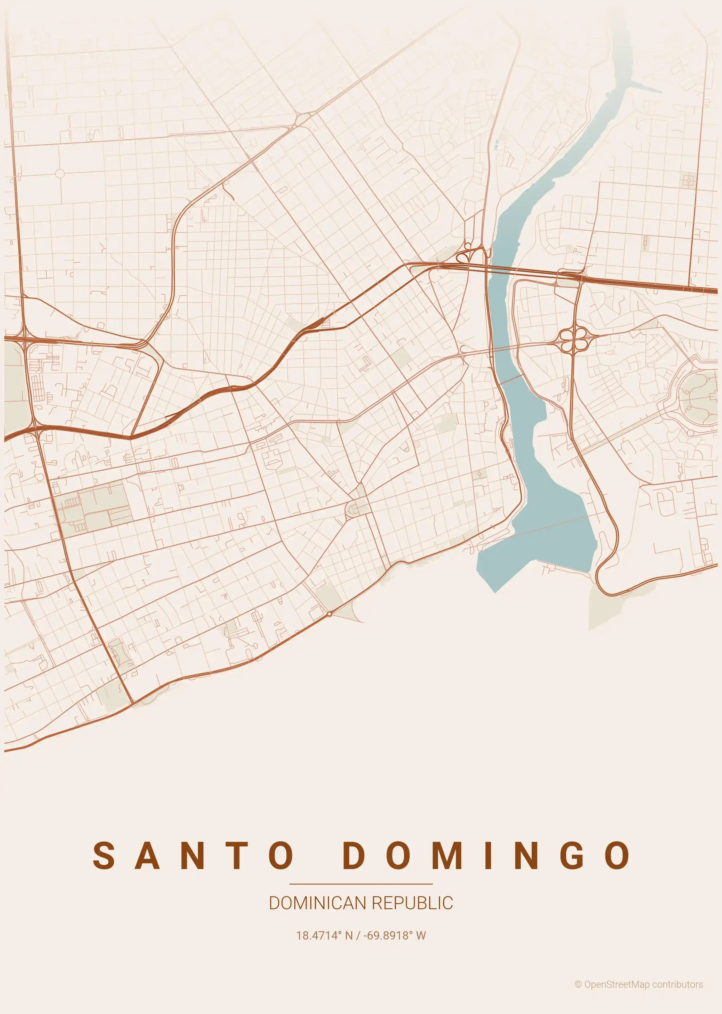
Free Printable Santo Domingo Street Map
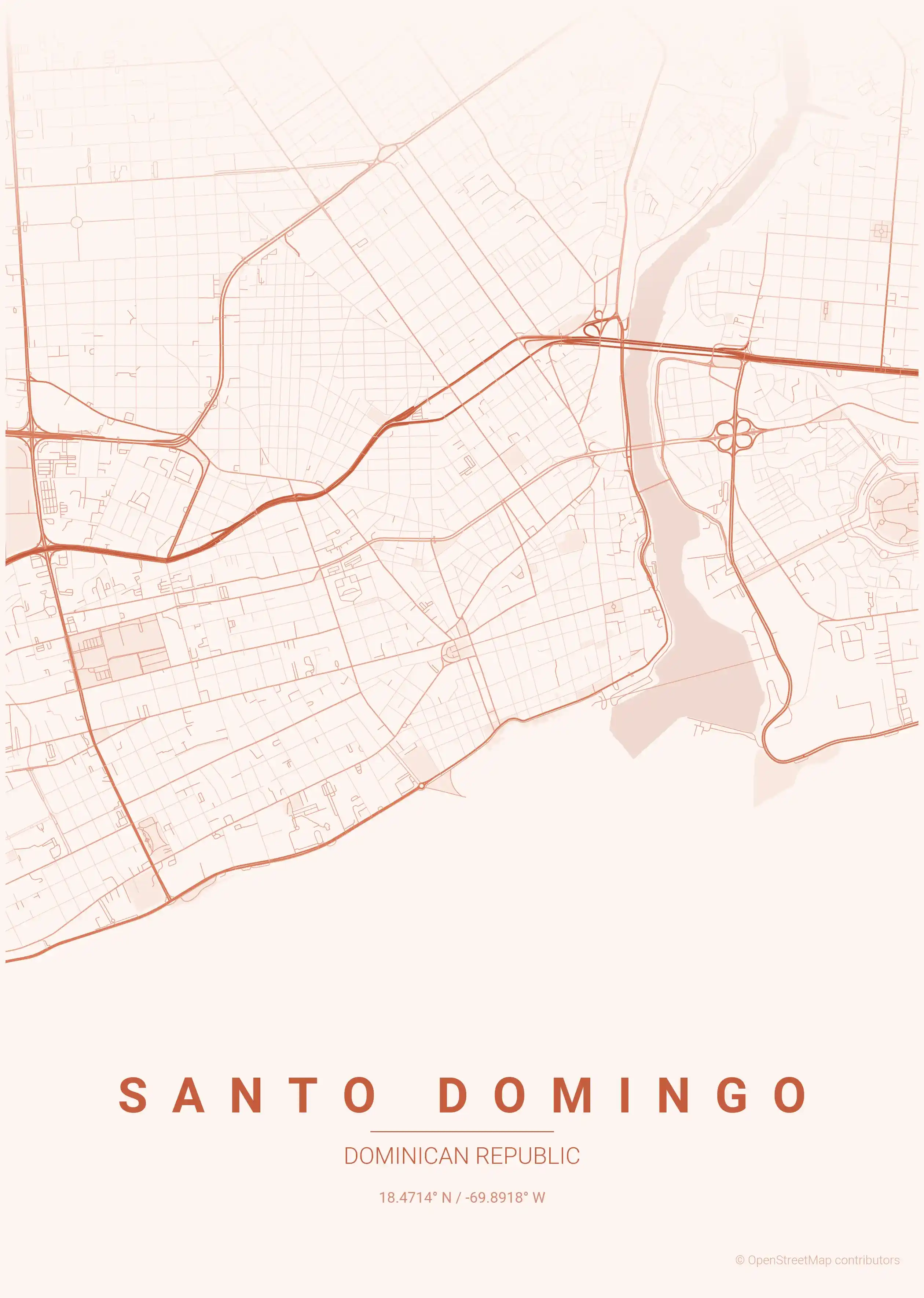
This is a detailed, minimalist street map of Santo Domingo, covering the the Zona Colonial in Dominican Republic, with landmarks such as the Zona Colonial, the Ozama River, the Malecón. Download it free as a high-resolution, print-ready file — equally at home as framed wall art or a clean reference street map and city outline of Santo Domingo.
Also known as: mapa de Santo Domingo · plano de Santo Domingo · mapa de Santo Domingo por calles
About the Santo Domingo Map Poster
Trace the oldest planned streets in the Americas on this minimalist street map poster of Santo Domingo, capital of the Dominican Republic. The tight grid of the Zona Colonial — the UNESCO-listed historic centre laid out in the early 1500s — sits along the western bank of the Ozama River, with Calle Las Damas (the first paved street in the New World), Parque Colón and the surrounding colonial blocks rendered in fine line work. From there the city map opens westward into the wider boulevards of Gazcue and the modern high-rise spine of Avenida Winston Churchill through the Piantini district.
Along the southern edge runs the Malecón, the seafront avenue tracing the Caribbean coast, while bridges over the Ozama tie the colonial core to the busy neighbourhoods on the eastern shore. The contrast between centuries-old waterfront streets and the sprawling avenues of the contemporary metropolis gives this printable poster real visual character.
Whether you grew up here or fell for the city on a Caribbean trip, this clean wall art celebrates a capital where every corner carries history. Explore other Dominican Republic city maps to see the rest of the collection.
How to Print Your Santo Domingo Map
Download the high-resolution file and print it at home, through an online print service (Printful, Printify, Shutterfly, Vistaprint), or at a local print shop. The Santo Domingo street map prints crisp at sizes up to roughly A1 (24×36 in / 60×90 cm).
- · Popular frame sizes: A3, A2, 18×24 in, 50×70 cm
- · Portrait 3:4 aspect ratio — fits standard poster frames
- · No watermark · no attribution required for personal use
File Information
What's Included
- High-resolution file optimized for professional printing
- Instant download – no registration or account needed
- Print as many times as you like for personal use
- Clean design with no watermarks or attribution required
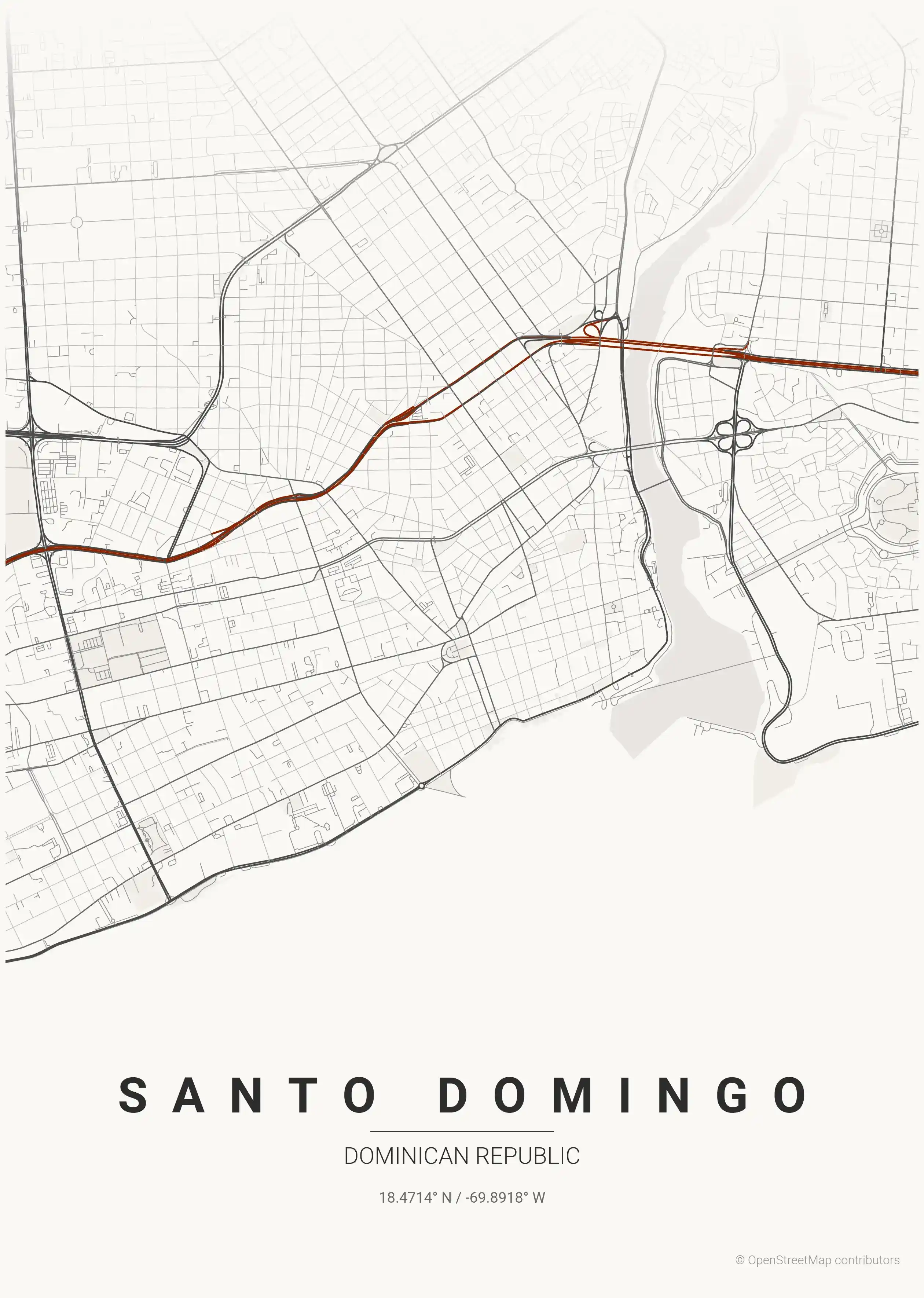
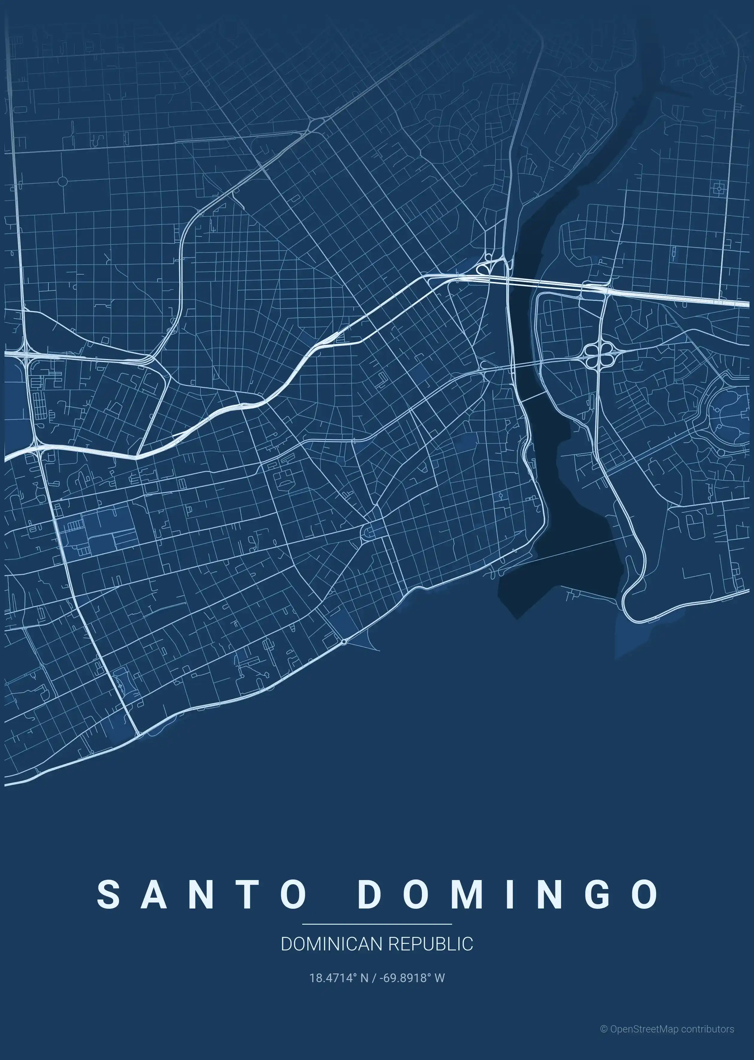
Theme Collection
Explore all available aesthetic variations
contrast zones
Click to preview
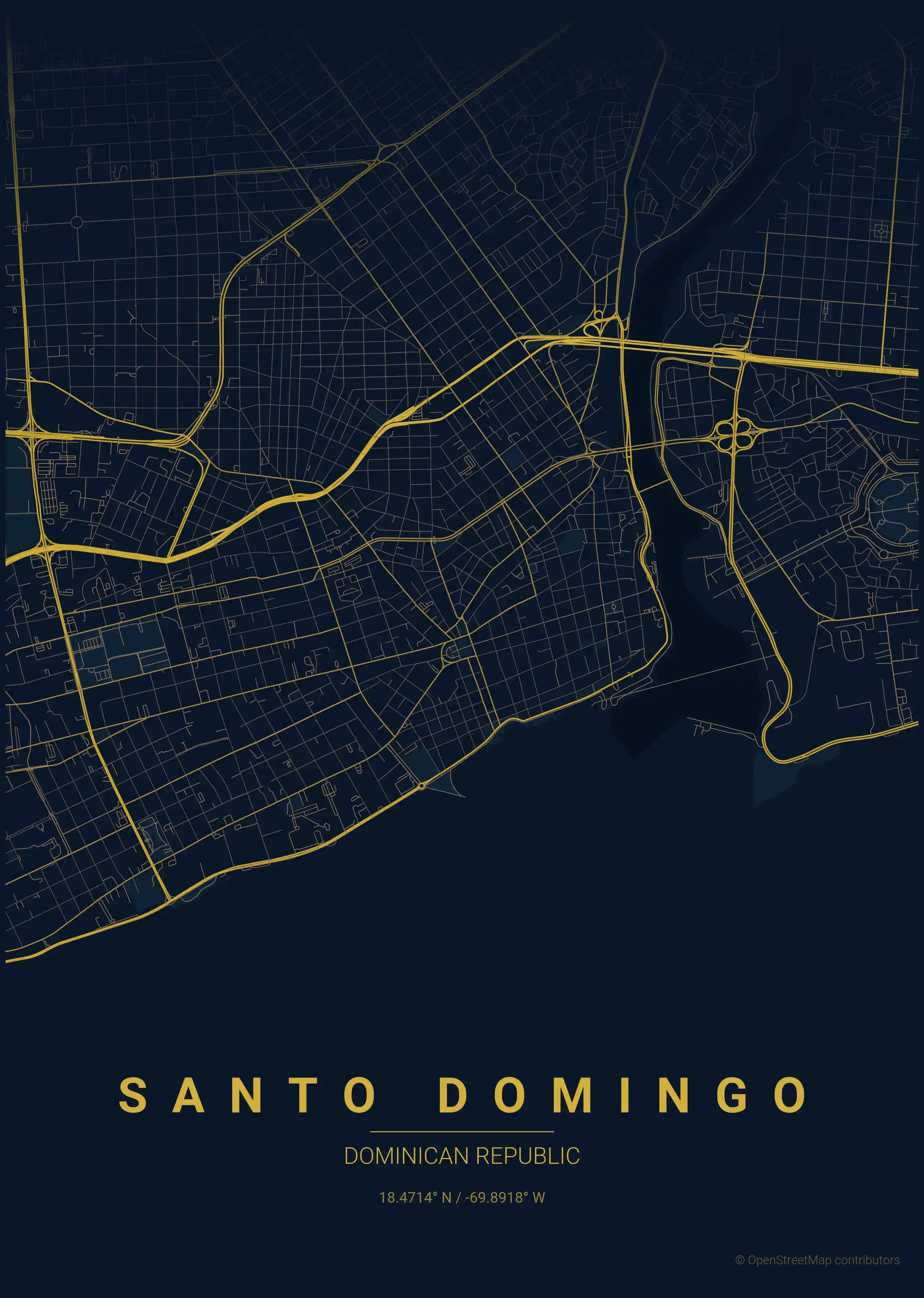
midnight blue
Click to preview
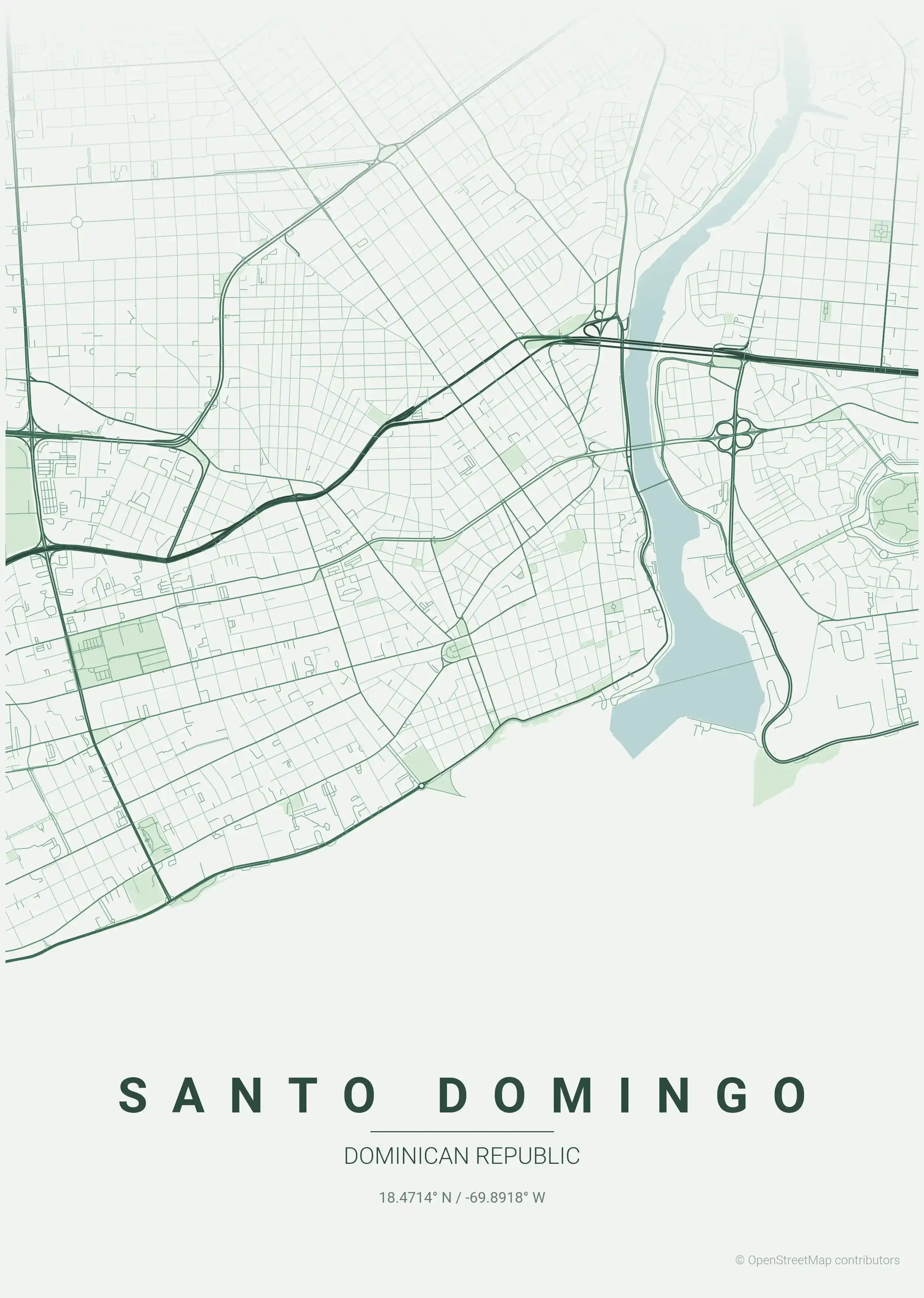
forest
Click to preview
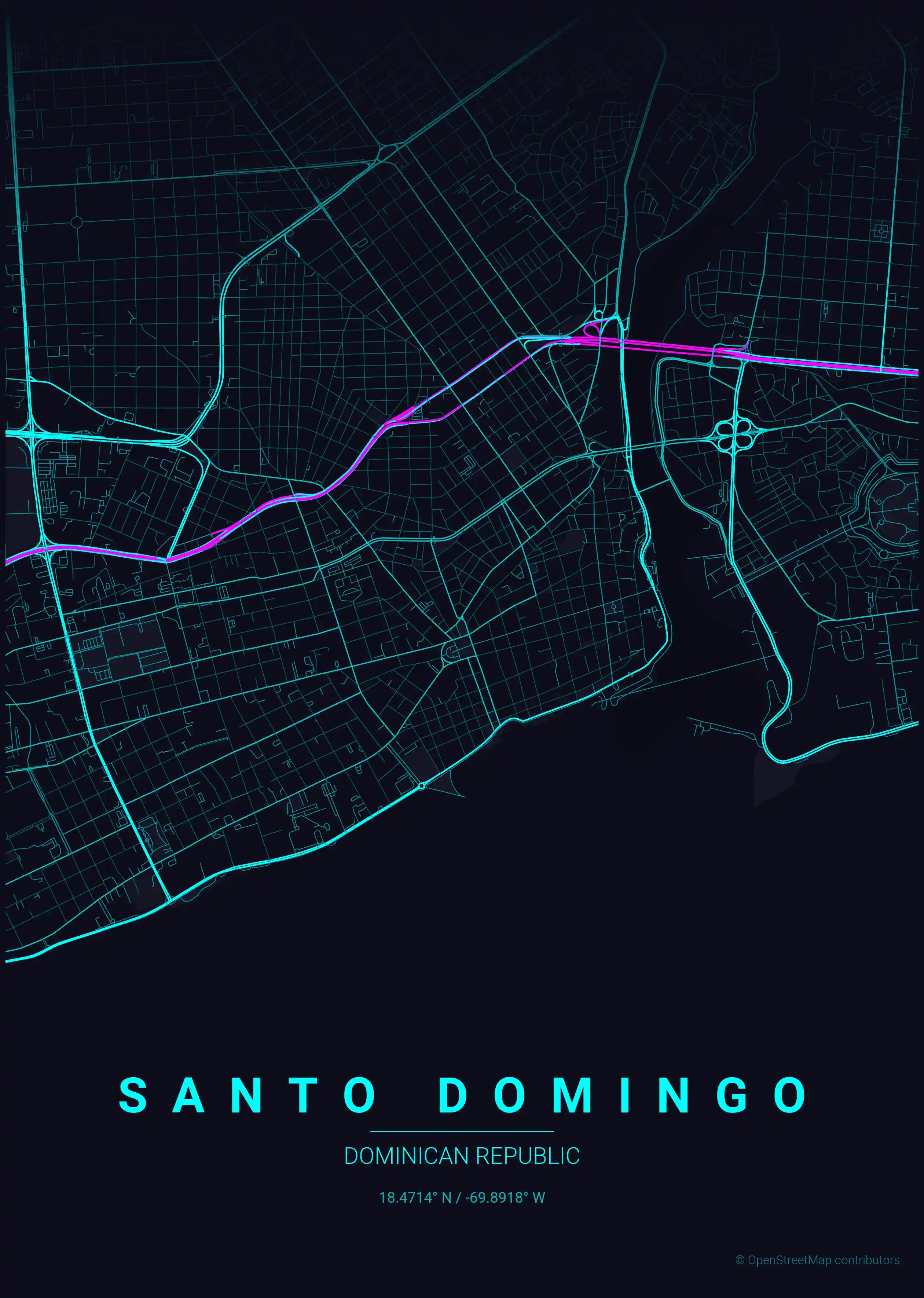
neon cyberpunk
Click to preview
terracotta
Click to preview
japanese ink
Click to preview
blueprint
Click to preview
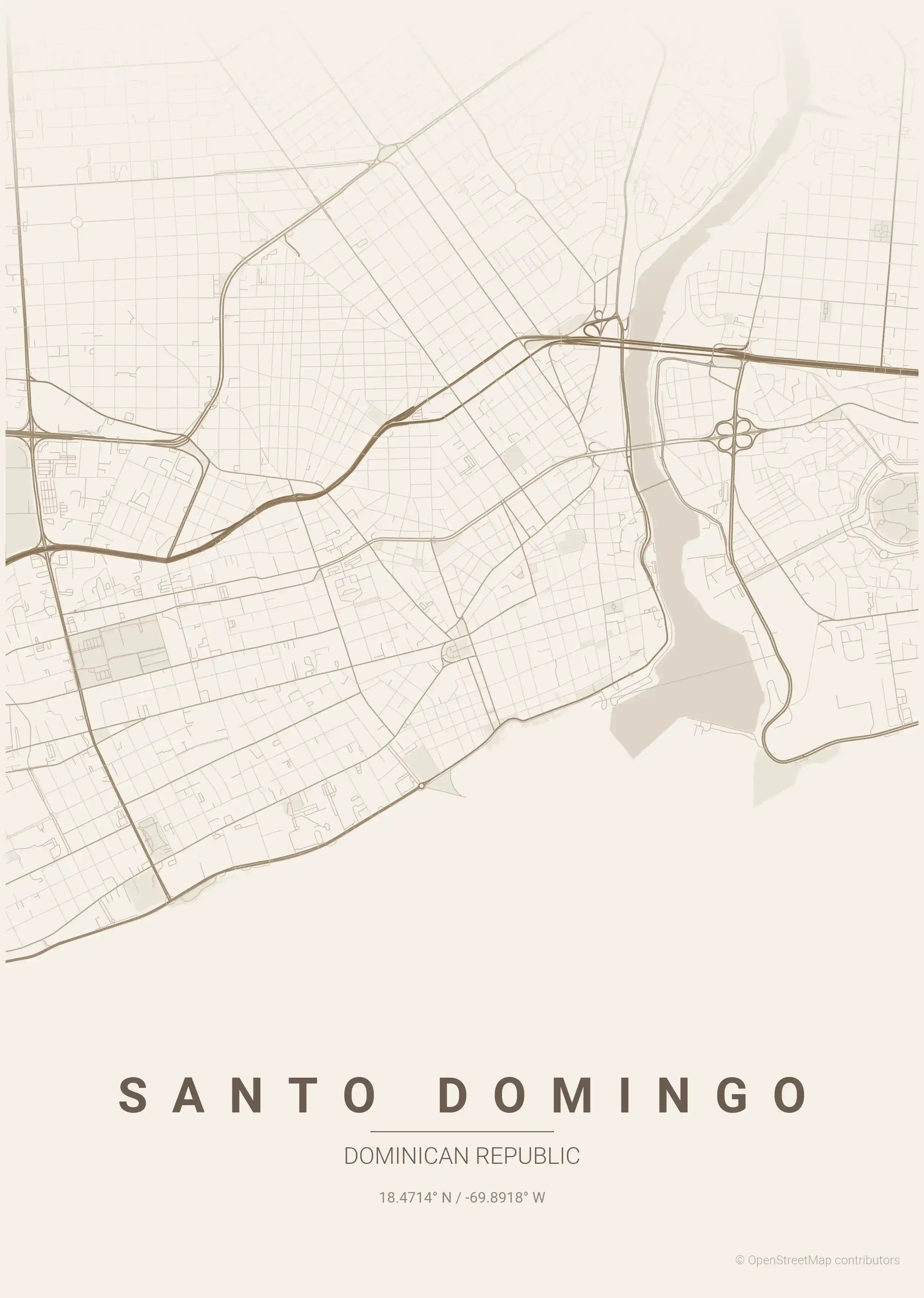
warm beige
Click to preview
sunset
Click to preview
Santo Domingo Map — FAQ
Common questions about the free Santo Domingo street map poster
Is the Santo Domingo map poster free to download?
Yes. Every Santo Domingo, Dominican Republic street map poster is 100% free to download for personal use — no signup, no email, and no watermark. Download as many themes as you like.
What does the Santo Domingo map show?
It's a minimalist street map of Santo Domingo — a clean outline of the city's real street network, including the the Zona Colonial and landmarks such as the Zona Colonial, the Ozama River, the Malecón. It works as both decorative wall art and a stylised reference map of Santo Domingo.
What size can I print the Santo Domingo map at?
The file is high-resolution and prints crisp at sizes up to roughly A1 (24×36 in / 60×90 cm). Popular frame sizes are A3, A2, 18×24 in and 50×70 cm.
How many themes are available for Santo Domingo?
Santo Domingo is available in 9 artistic themes, including contrast zones, midnight blue, forest and more — same street layout, different colour palettes.