Nicaragua City Map
Free street map posters of 1 city
A minimalist map of Nicaragua and its cities. Explore free, printable street map posters of Managua — each city mapped in 9 artistic themes and available as a high-resolution download.
Cities of Nicaragua on the map: Managua.
About Nicaragua City Maps
Looking for a Nicaragua city map? This collection turns the country’s urban layouts into clean, minimalist poster art. Each printable street map is offered as a high-resolution, free download, so you can frame a piece of Central America without the cost of a custom print.
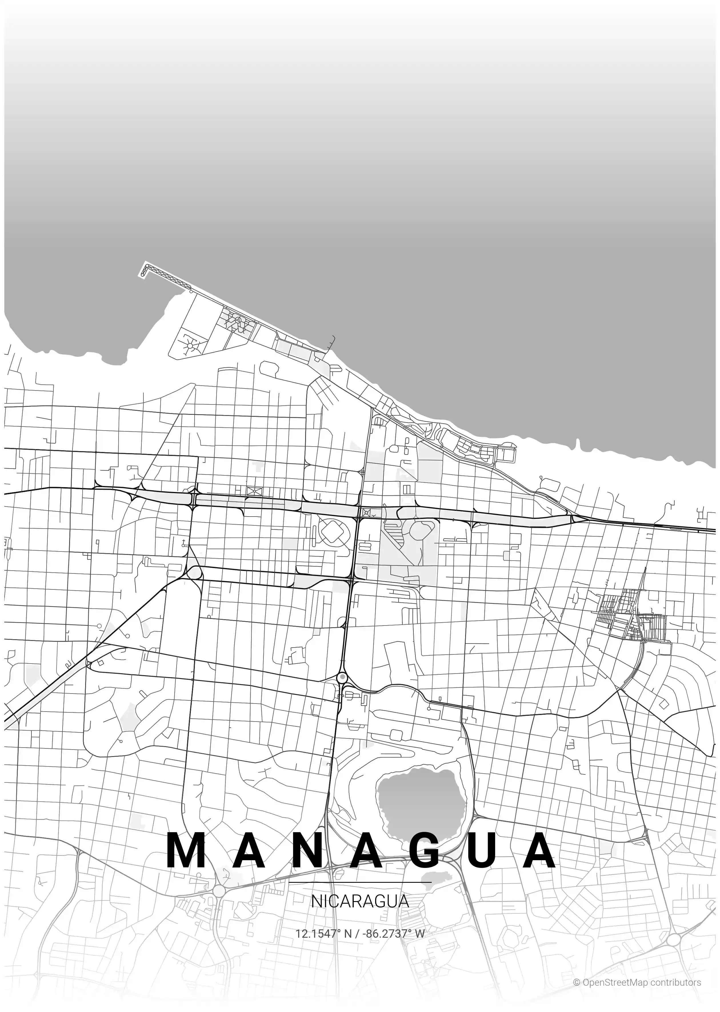
Browse the free street map of Nicaragua’s largest city: Managua, the country’s sprawling capital. More cities will join the collection over time, but Managua alone makes a striking subject — its decentralized form is unlike any other capital in the Americas.
That story is written into the street map itself. A devastating 1972 earthquake destroyed Managua’s downtown, which was never fully rebuilt, leaving a polycentric city of scattered clusters linked by highways and edged by Lake Managua (Xolotlán). The resulting city map reads as open and unconventional, a visual record of how disaster can reshape urban form.
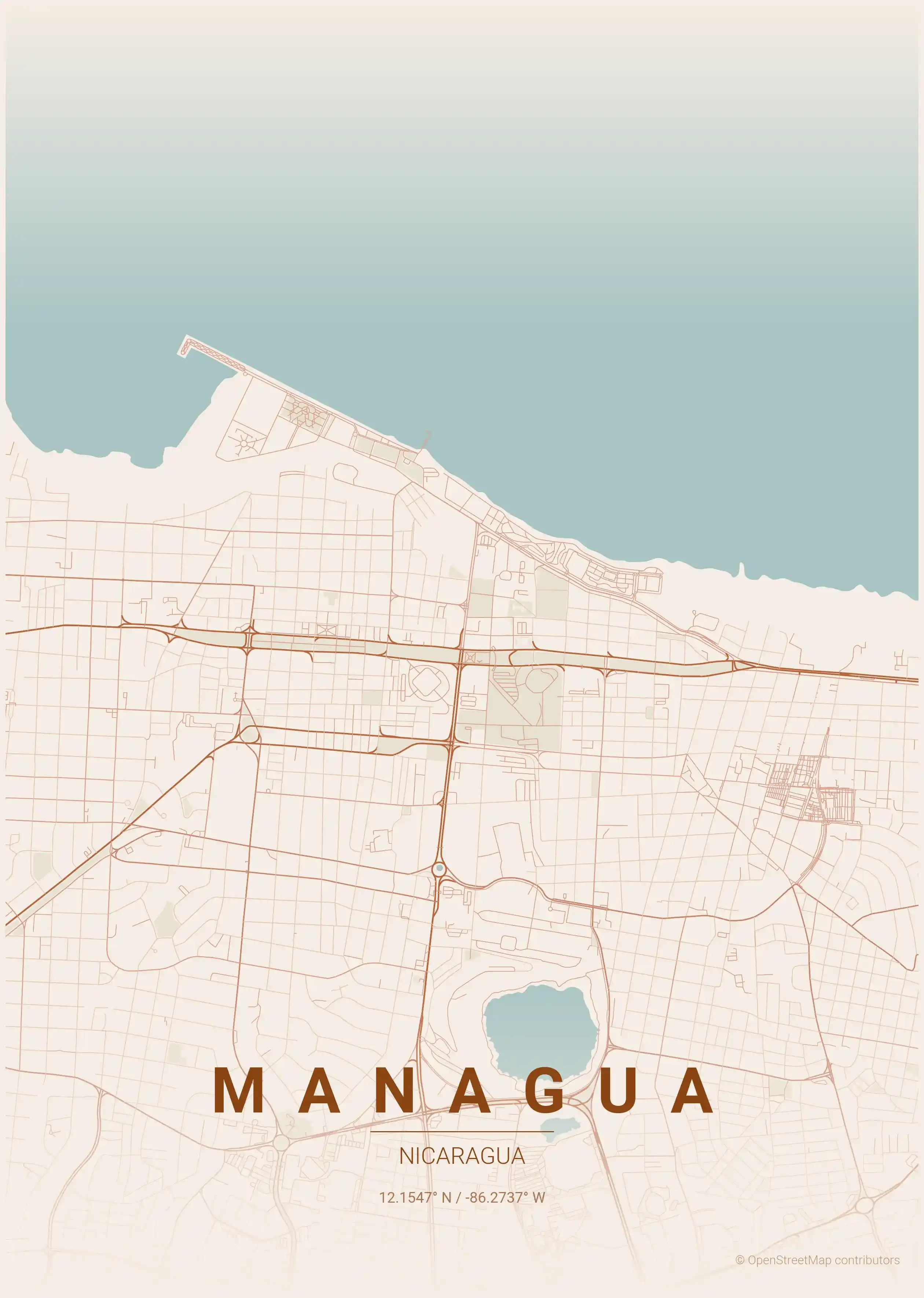
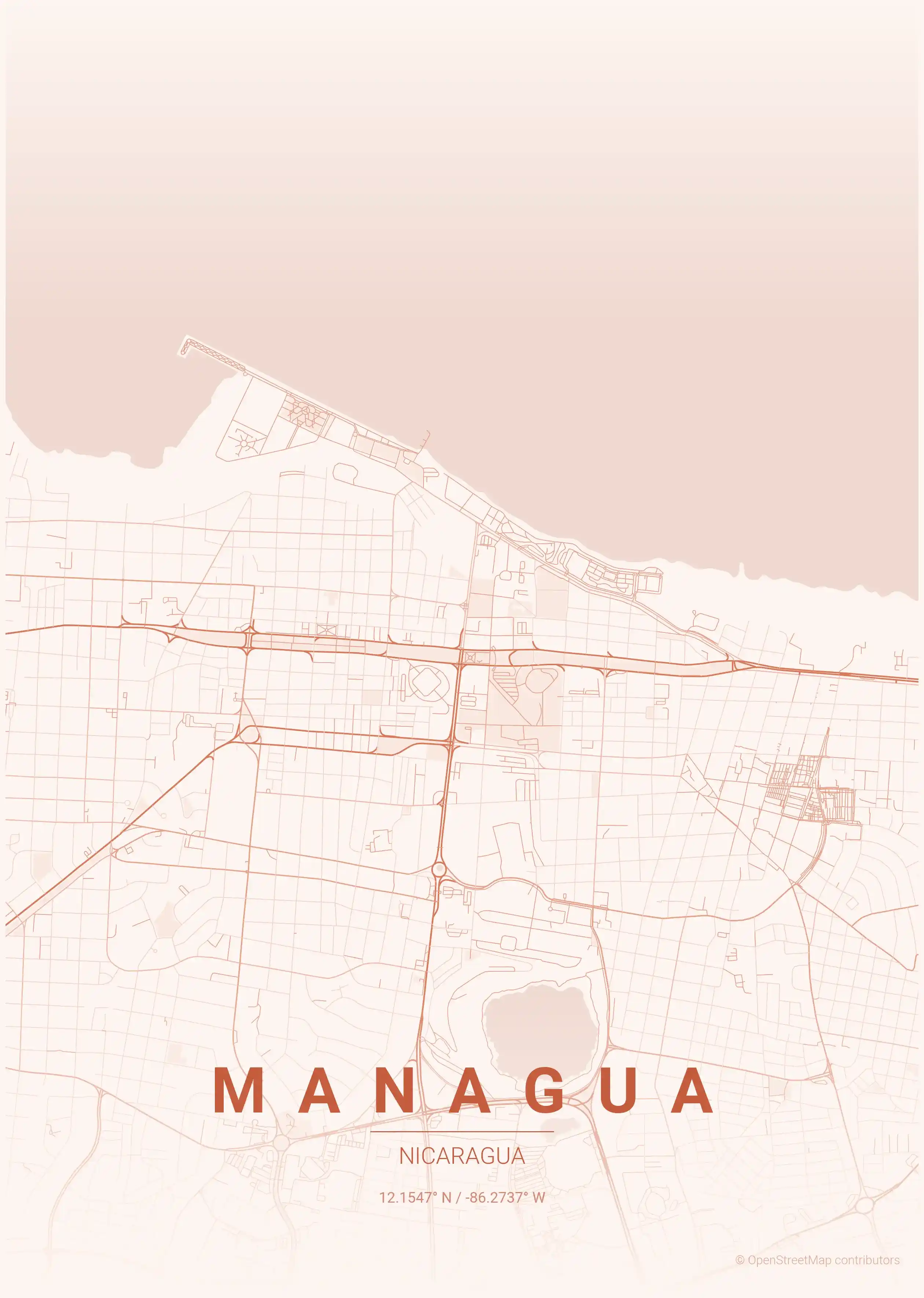
Every Managua poster comes in nine artistic themes. The warm sunset palette echoes Nicaragua’s tropical light, while the forest-green theme nods to the country’s volcanic landscape, and all files are print-ready at no charge.
Heading elsewhere in the region? Explore neighbouring Costa Rica city maps and Honduras city maps for more printable street map posters from Central America.
More North America City Maps
Explore More Cities
Discover map posters from cities across North America in our complete collection.