Luxembourg Street Map Poster
Free printable Luxembourg city map & outline — contrast zones theme
Free high-resolution downloads. Print anywhere you like.
Digital Download
Free
High-resolution digital file
What You Get
- High-resolution WebP file
- Optimized for any print size
- Multiple artistic themes
- Free for personal use
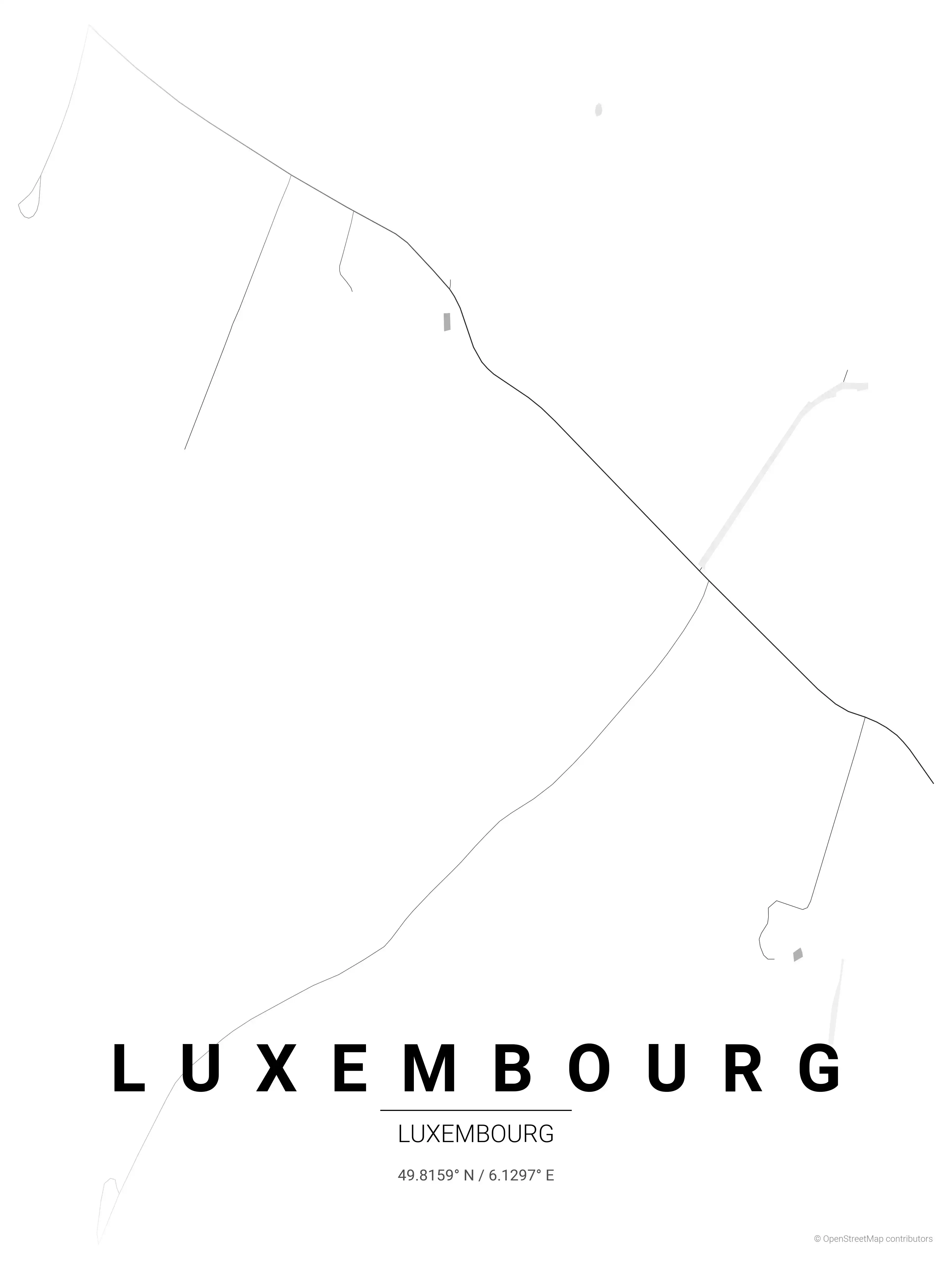
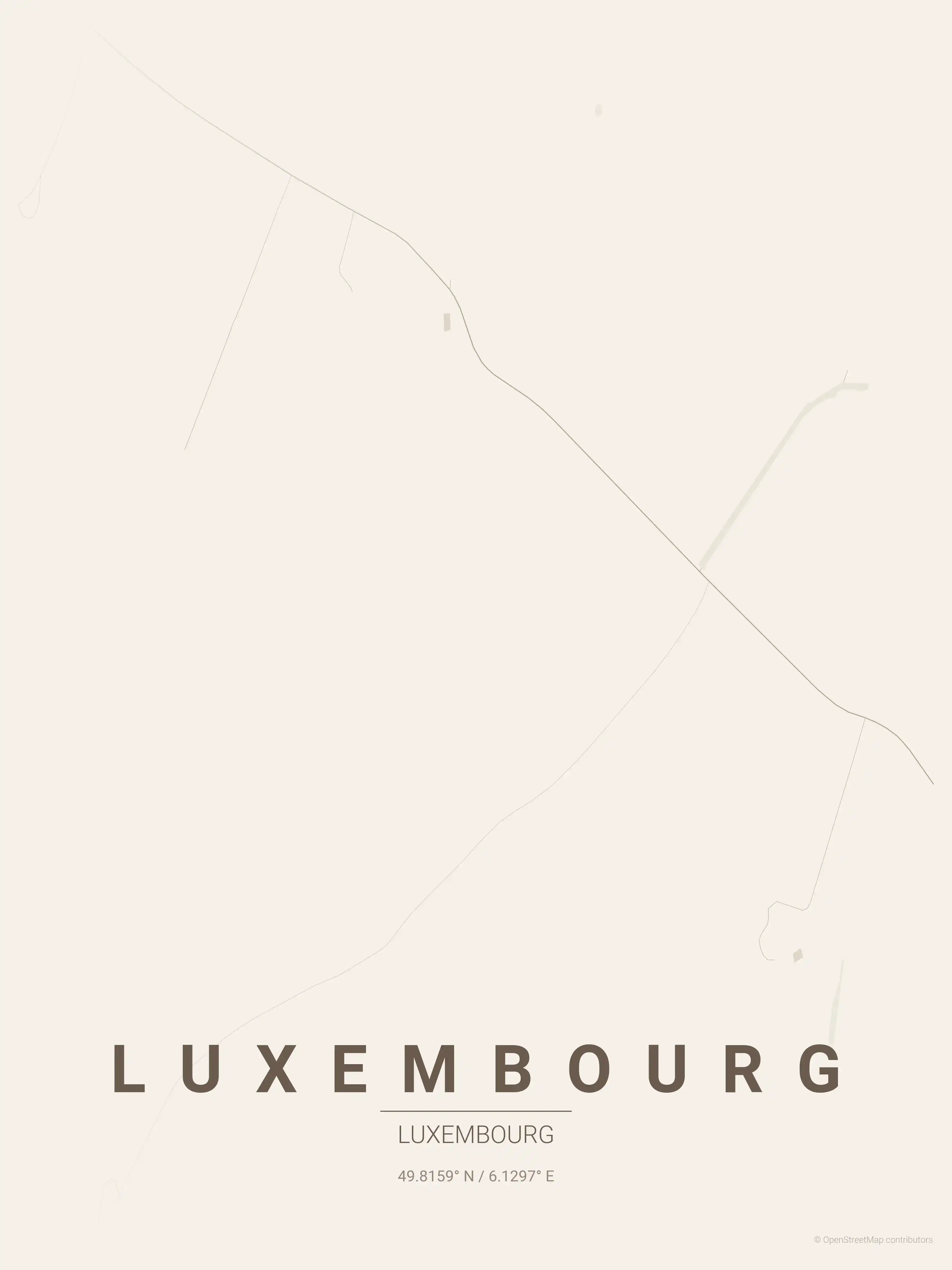
Free Printable Luxembourg Street Map
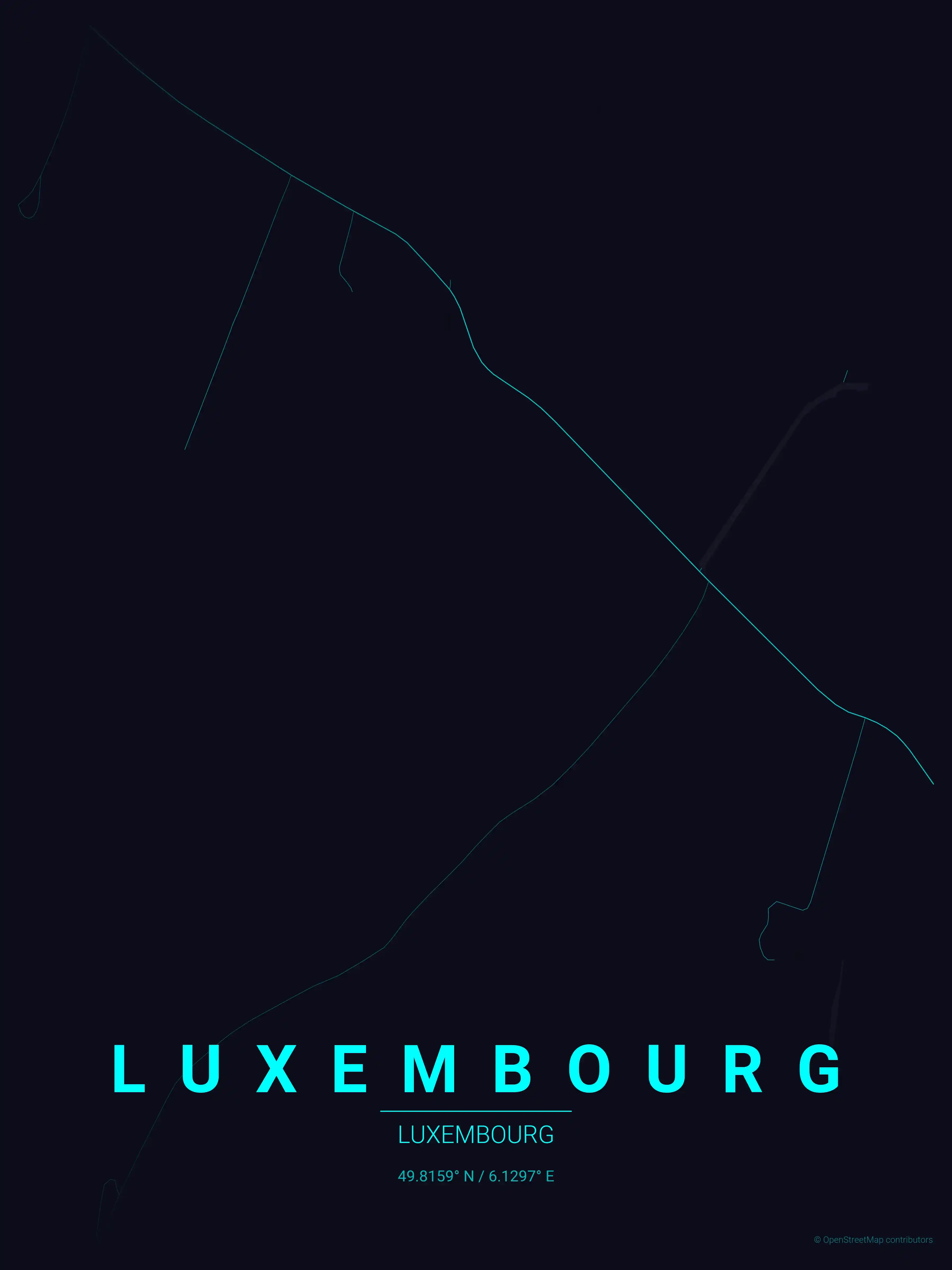
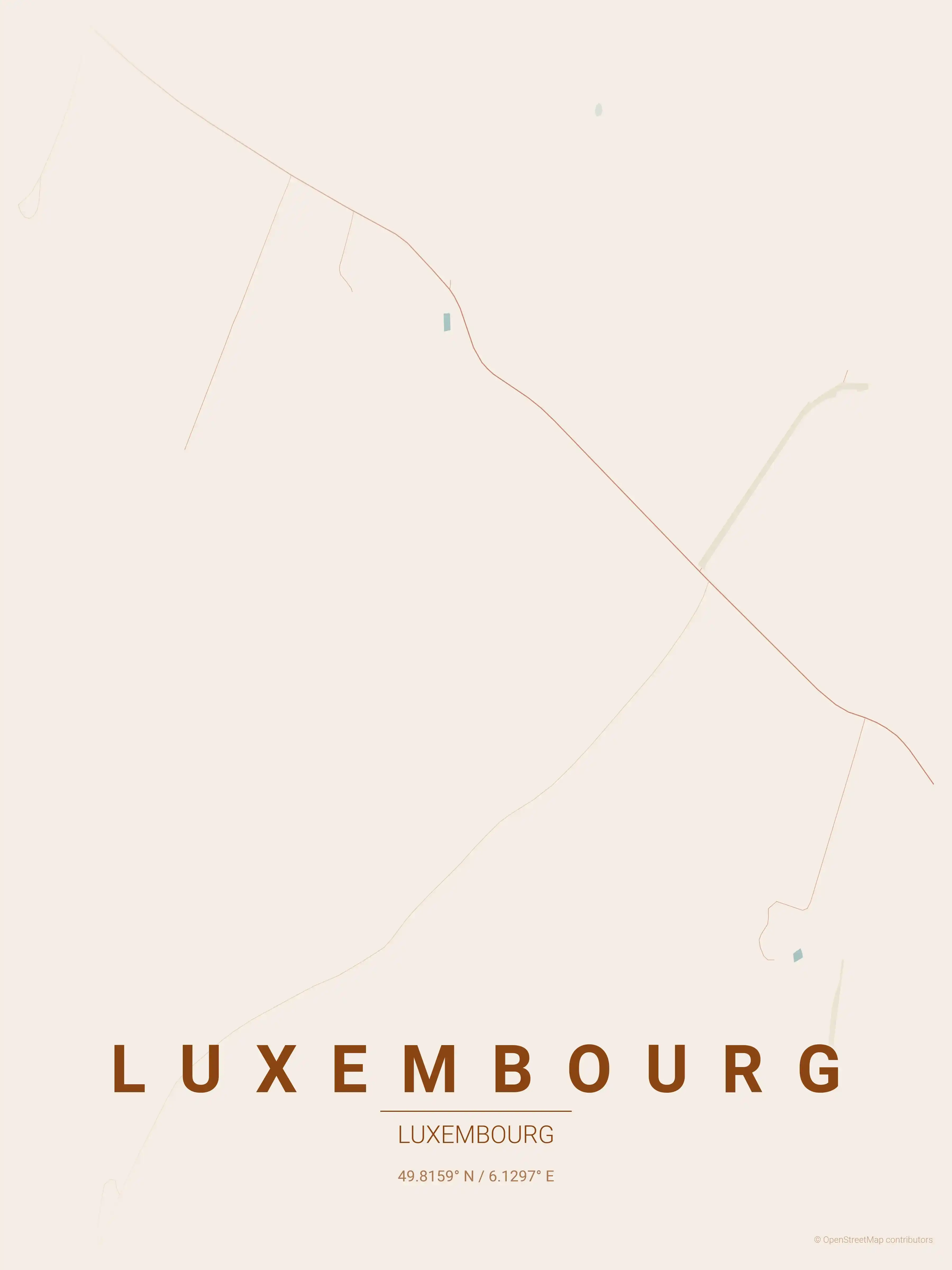
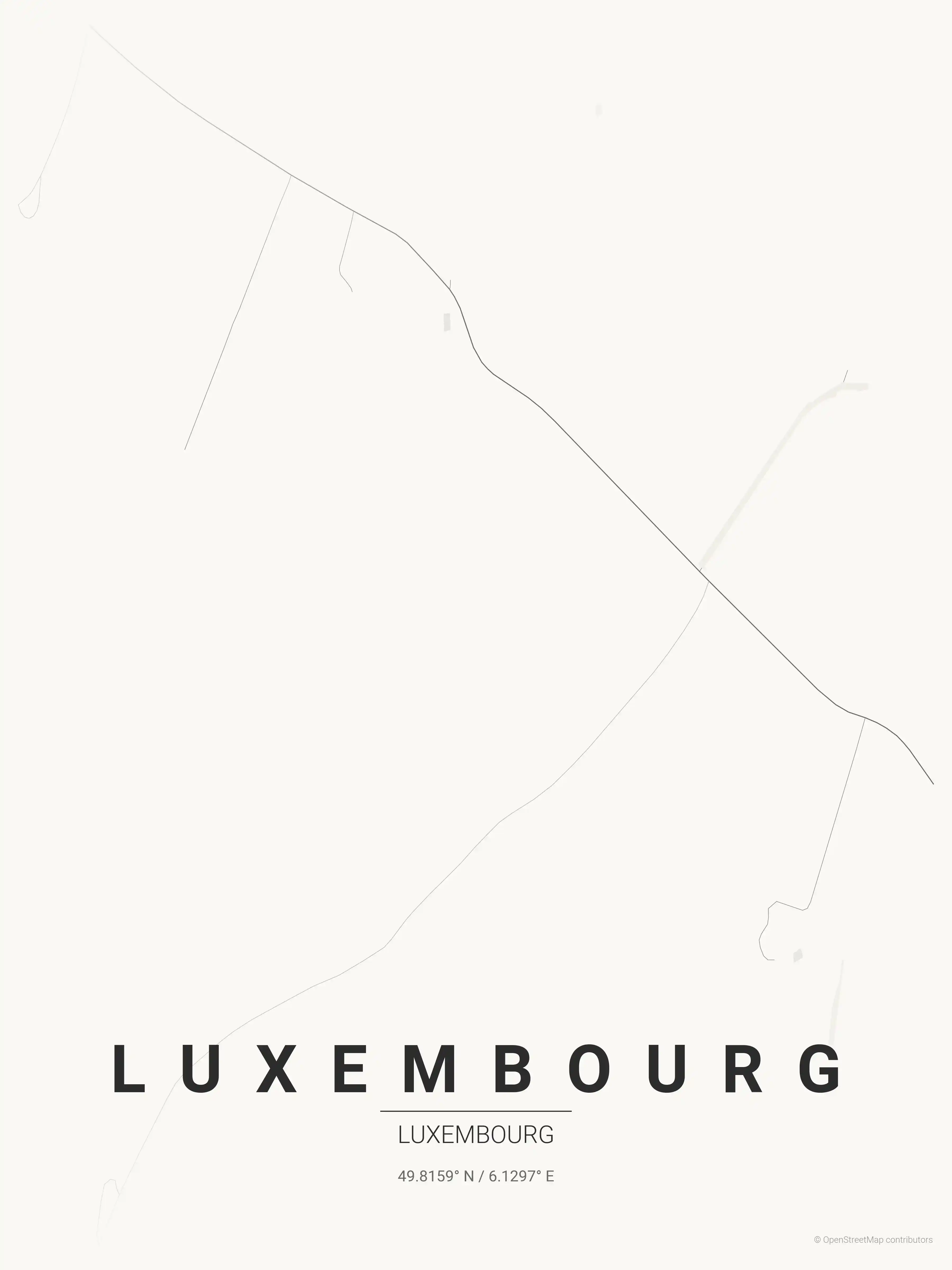
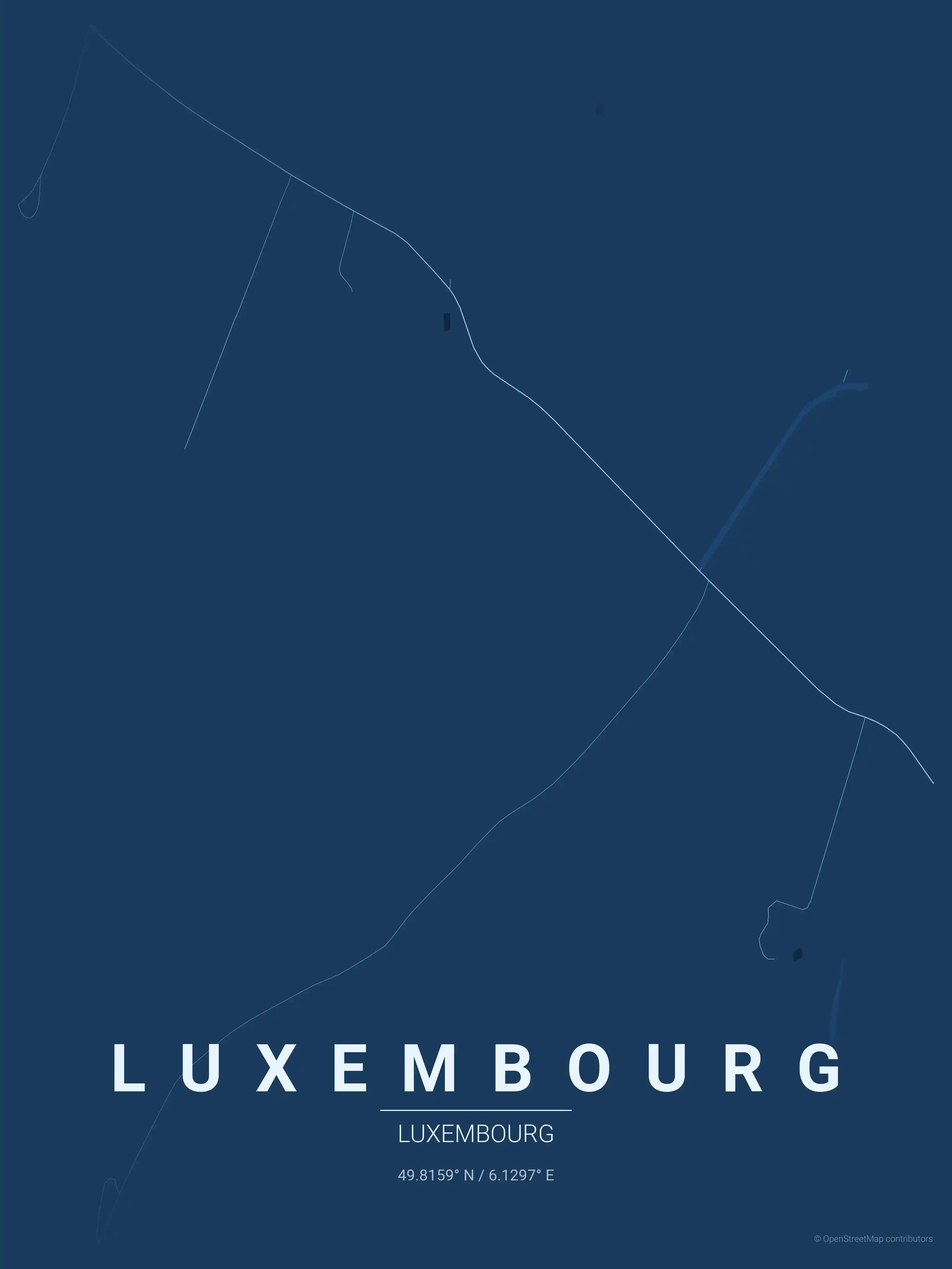
This is a detailed, minimalist street map of Luxembourg, covering the the Ville Haute historic centre in Luxembourg, with landmarks such as the Bock Casemates, the Alzette and Pétrusse valleys, Place Guillaume II. Download it free as a high-resolution, print-ready file — equally at home as framed wall art or a clean reference street map and city outline of Luxembourg.
Also known as: plan de Luxembourg · plan de Luxembourg à imprimer · Stadtplan Luxemburg · Stadtplan Luxemburg zum Ausdrucken
About the Luxembourg Map Poster
Few capitals translate into a street map as dramatically as Luxembourg. The city sits on a rocky promontory split by the Alzette and Pétrusse valleys, so the plan view reveals roads tracing the clifftops while bridges leap across the gorges below. This printable poster captures that vertical geography in clean minimalist lines, with the Bock Casemates marking the spot where the original fortress once guarded the bend in the river.
At the heart of the map is the Ville Haute, the historic centre crowning the plateau, where Place Guillaume II opens up among the old streets and the Grand Duchy’s institutions cluster nearby. Trace the elegant sweep of the Adolphe Bridge as it spans the Pétrusse, then follow the contour lines down into the Grund, the riverside quarter tucked at the foot of the cliffs. North-east, the modern Kirchberg plateau spreads out with its European quarter and banking towers — a striking contrast to the medieval core.
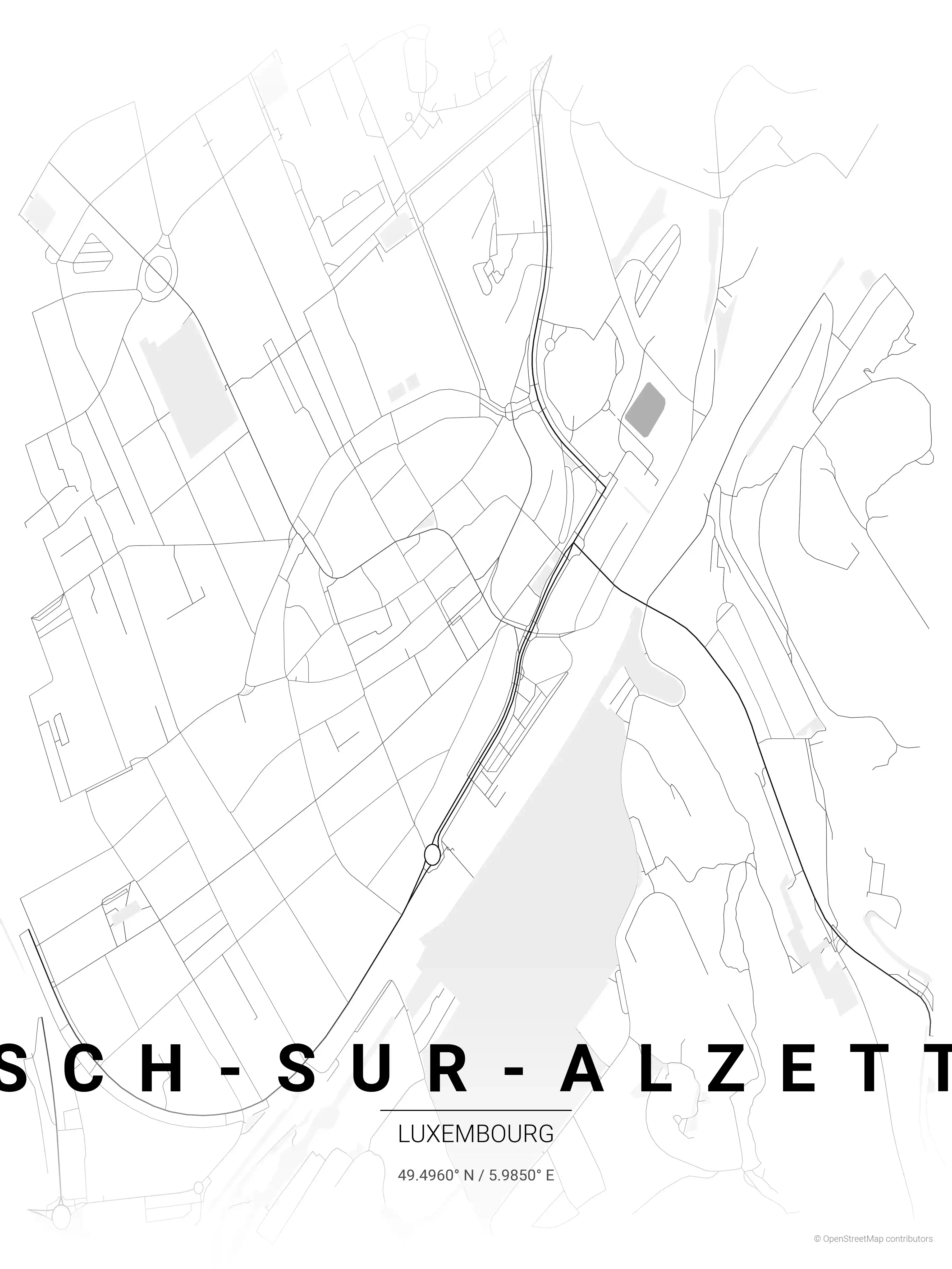
As a city map, it works because the topography does so much of the design work: the compact old town reads almost like an island above the surrounding landscape. Printed and framed, this street map of Luxembourg makes characterful wall art for anyone who knows the Grand Duchy. Explore other Luxembourg city maps or the nearby Esch-sur-Alzette map poster in the same collection.
How to Print Your Luxembourg Map
Download the high-resolution file and print it at home, through an online print service (Printful, Printify, Shutterfly, Vistaprint), or at a local print shop. The Luxembourg street map prints crisp at sizes up to roughly A1 (24×36 in / 60×90 cm).
- · Popular frame sizes: A3, A2, 18×24 in, 50×70 cm
- · Portrait 3:4 aspect ratio — fits standard poster frames
- · No watermark · no attribution required for personal use
File Information
What's Included
- High-resolution file optimized for professional printing
- Instant download – no registration or account needed
- Print as many times as you like for personal use
- Clean design with no watermarks or attribution required
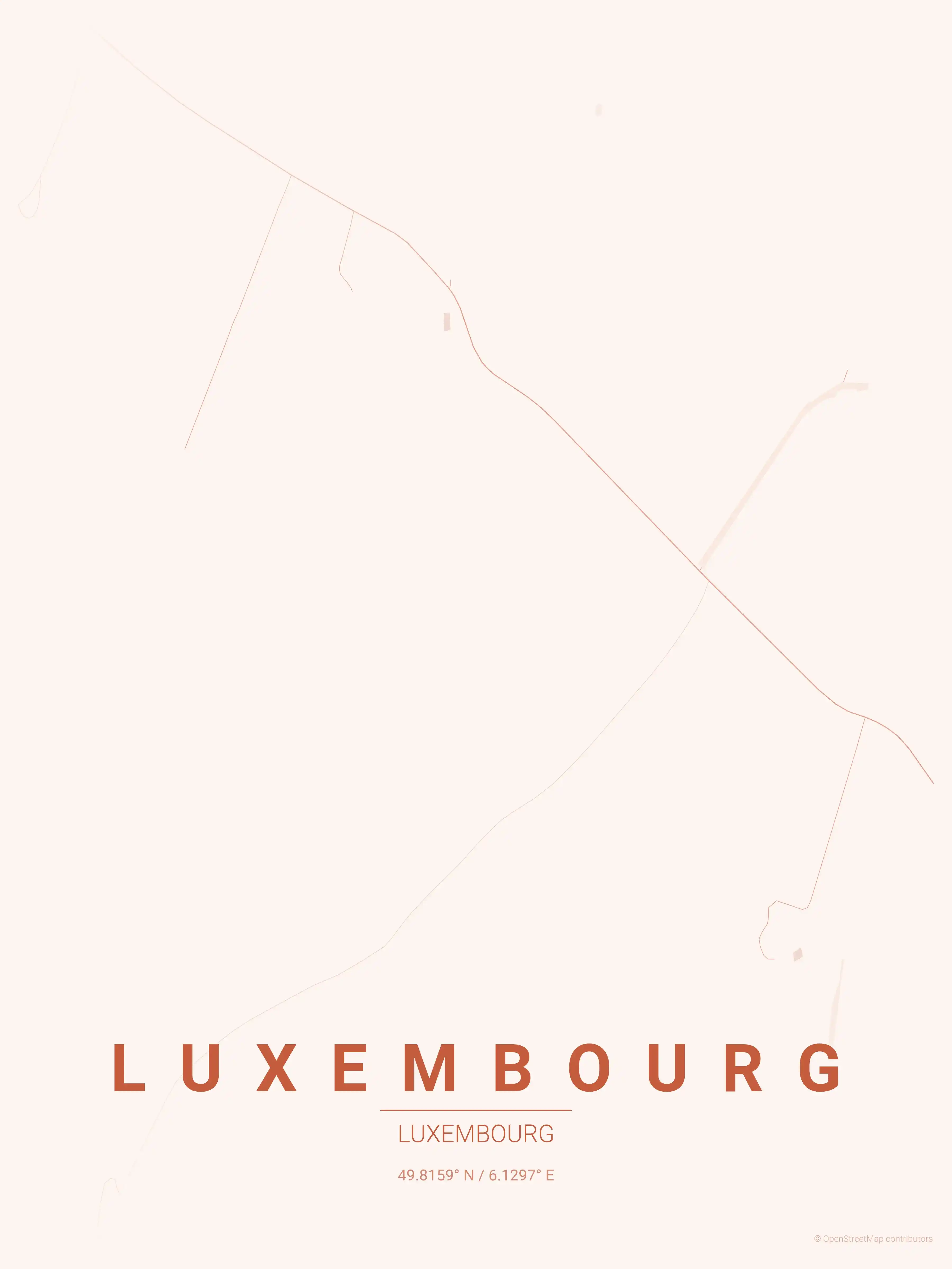
Theme Collection
Explore all available aesthetic variations
contrast zones
Click to preview
midnight blue
Click to preview
forest
Click to preview
neon cyberpunk
Click to preview
terracotta
Click to preview
japanese ink
Click to preview
blueprint
Click to preview
warm beige
Click to preview
sunset
Click to preview
Luxembourg Map — FAQ
Common questions about the free Luxembourg street map poster
Is the Luxembourg map poster free to download?
Yes. Every Luxembourg, Luxembourg street map poster is 100% free to download for personal use — no signup, no email, and no watermark. Download as many themes as you like.
What does the Luxembourg map show?
It's a minimalist street map of Luxembourg — a clean outline of the city's real street network, including the the Ville Haute historic centre and landmarks such as the Bock Casemates, the Alzette and Pétrusse valleys, Place Guillaume II. It works as both decorative wall art and a stylised reference map of Luxembourg.
What size can I print the Luxembourg map at?
The file is high-resolution and prints crisp at sizes up to roughly A1 (24×36 in / 60×90 cm). Popular frame sizes are A3, A2, 18×24 in and 50×70 cm.
How many themes are available for Luxembourg?
Luxembourg is available in 9 artistic themes, including contrast zones, midnight blue, forest and more — same street layout, different colour palettes.
More Maps from Luxembourg
Discover other cities in our collection