Valletta Street Map Poster
Free printable Malta city map & outline — contrast zones theme
Free high-resolution downloads. Print anywhere you like.
Digital Download
Free
High-resolution digital file
What You Get
- High-resolution WebP file
- Optimized for any print size
- Multiple artistic themes
- Free for personal use
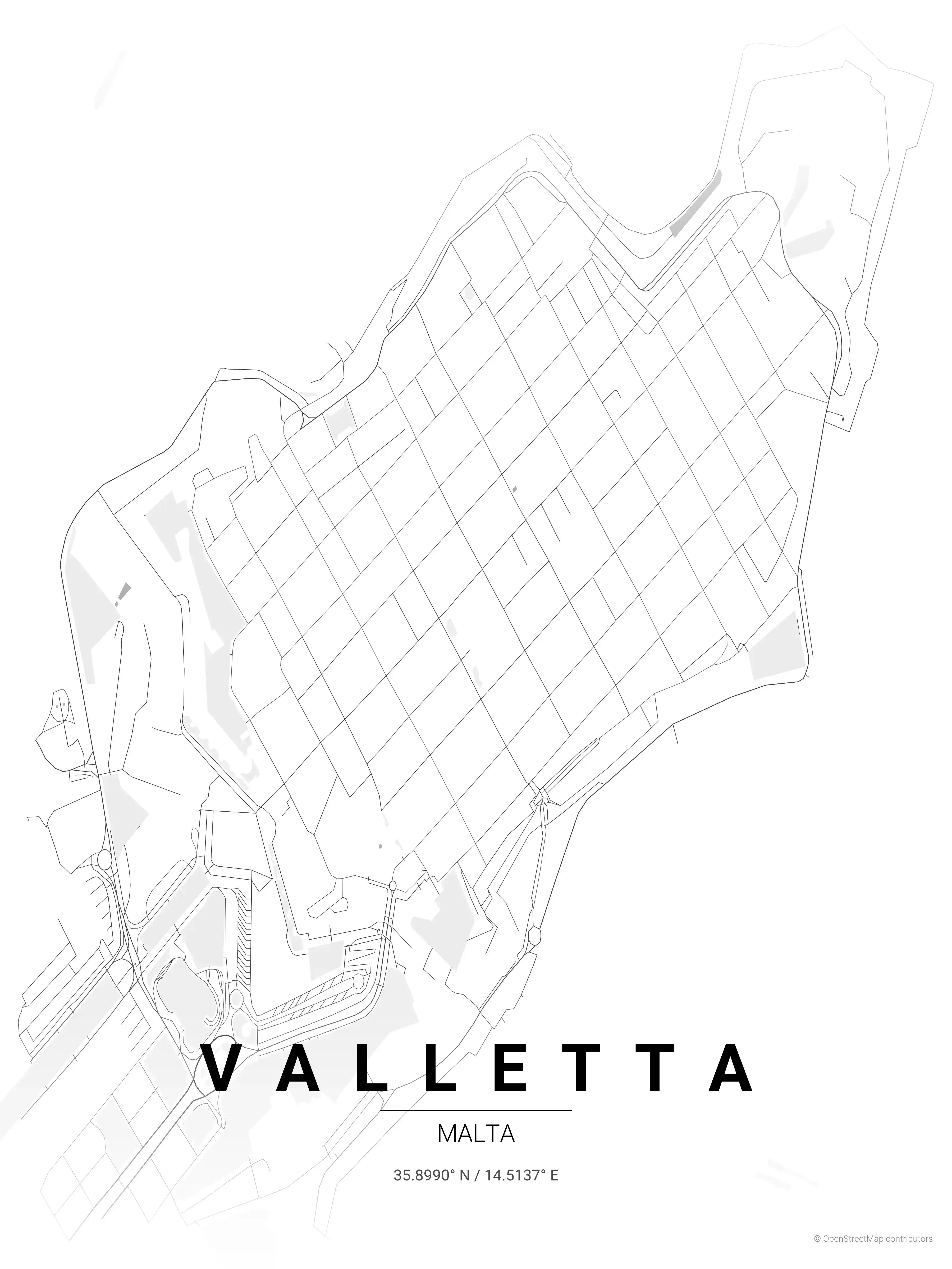
Free Printable Valletta Street Map
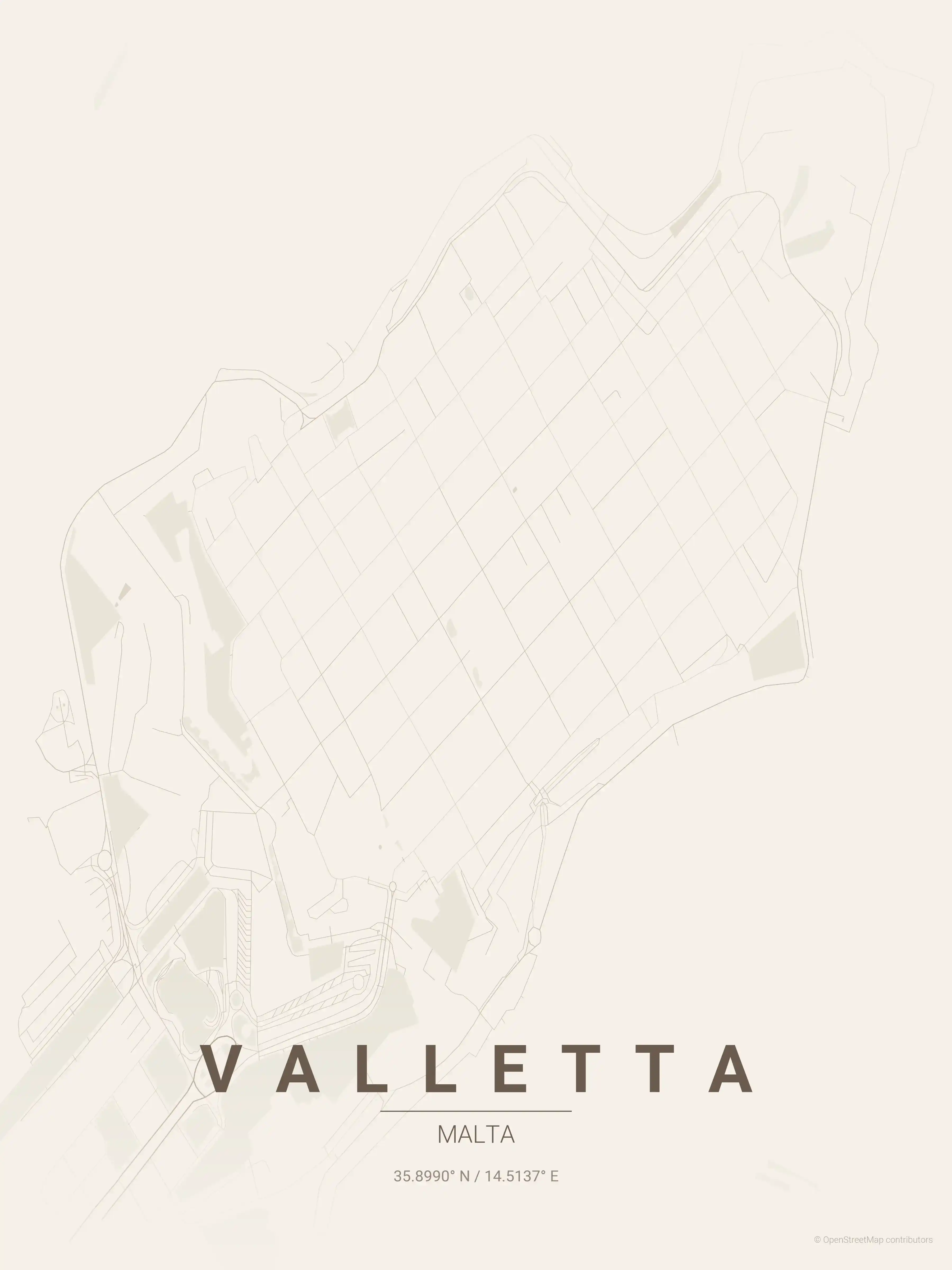
This is a detailed, minimalist street map of Valletta, covering the the UNESCO-listed Valletta peninsula in Malta, with landmarks such as Republic Street, Merchants Street, St. John's Co-Cathedral. Download it free as a high-resolution, print-ready file — equally at home as framed wall art or a clean reference street map and city outline of Valletta.
Also known as: Mappa tal-Belt Valletta · Mappa ta' Valletta · Pjanta ta' Valletta
About the Valletta Map Poster
Few capitals reduce so cleanly to line work as Valletta. Laid out by the Knights of St. John on the narrow Sciberras peninsula, the city follows a tight Renaissance grid that a street map renders almost as pure geometry — straight runs of Republic Street and Merchants Street crossing the slope, hemmed by the bastions that drop to the water on both sides. This printable city map traces that walled tip of land, with the Grand Harbour curling along one flank and Marsamxett on the other.
The detail rewards a closer look: the spur of Fort St. Elmo at the point, the gardens and gun line of the Upper Barrakka above the harbour, and the dense block holding St. John’s Co-Cathedral near the centre. Because the whole historic peninsula carries UNESCO protection, the layout you see is essentially the 16th-century plan, baroque and unbroken.
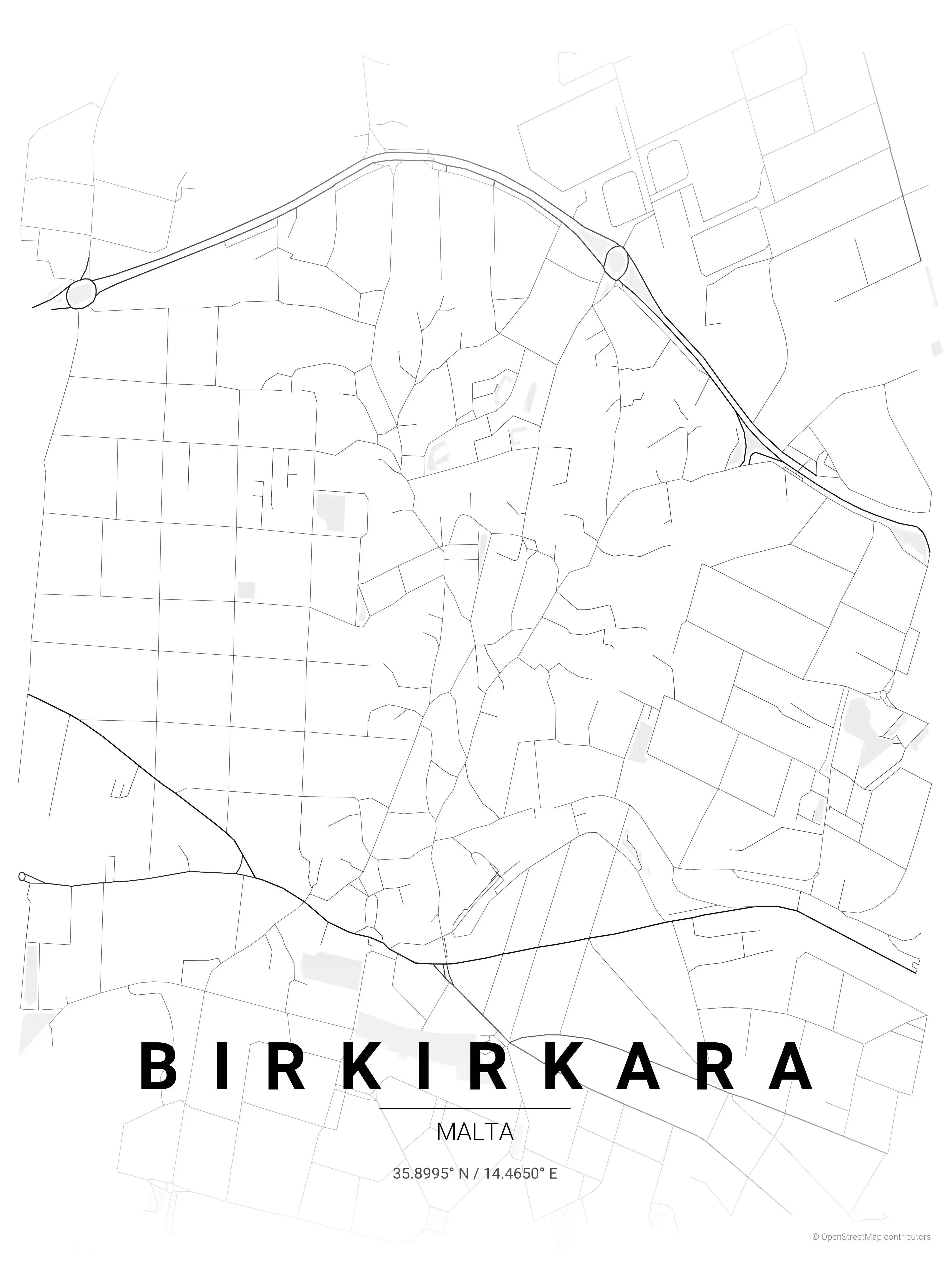
As a poster the warm limestone palette suits Valletta especially well, but every theme keeps the same precise grid front and centre. Pair it with the harbour-town counterpoint of our Birkirkara map poster, or browse other Malta city maps to build out a wall of the islands.
How to Print Your Valletta Map
Download the high-resolution file and print it at home, through an online print service (Printful, Printify, Shutterfly, Vistaprint), or at a local print shop. The Valletta street map prints crisp at sizes up to roughly A1 (24×36 in / 60×90 cm).
- · Popular frame sizes: A3, A2, 18×24 in, 50×70 cm
- · Portrait 3:4 aspect ratio — fits standard poster frames
- · No watermark · no attribution required for personal use
File Information
What's Included
- High-resolution file optimized for professional printing
- Instant download – no registration or account needed
- Print as many times as you like for personal use
- Clean design with no watermarks or attribution required
Theme Collection
Explore all available aesthetic variations
contrast zones
Click to preview
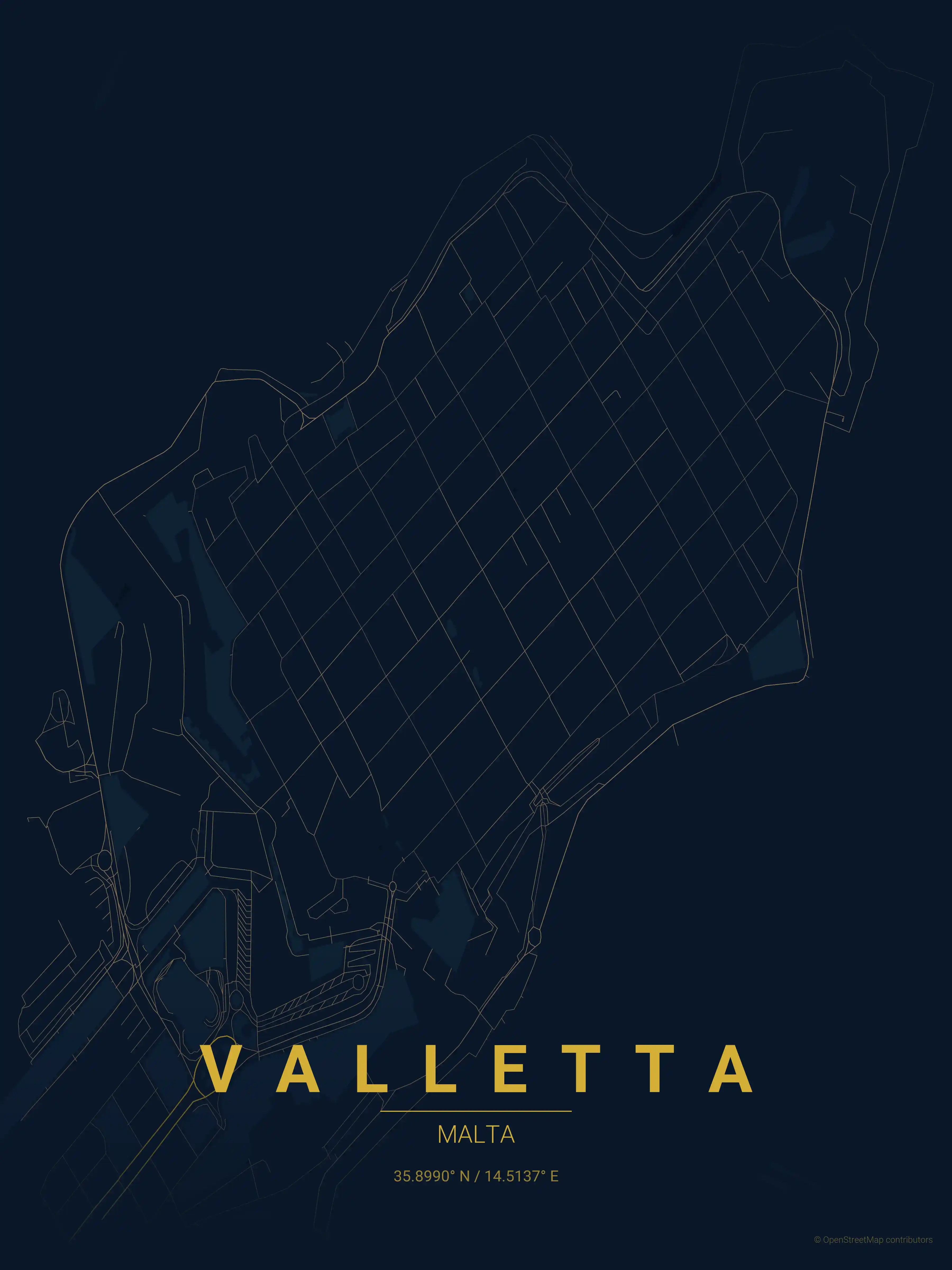
midnight blue
Click to preview
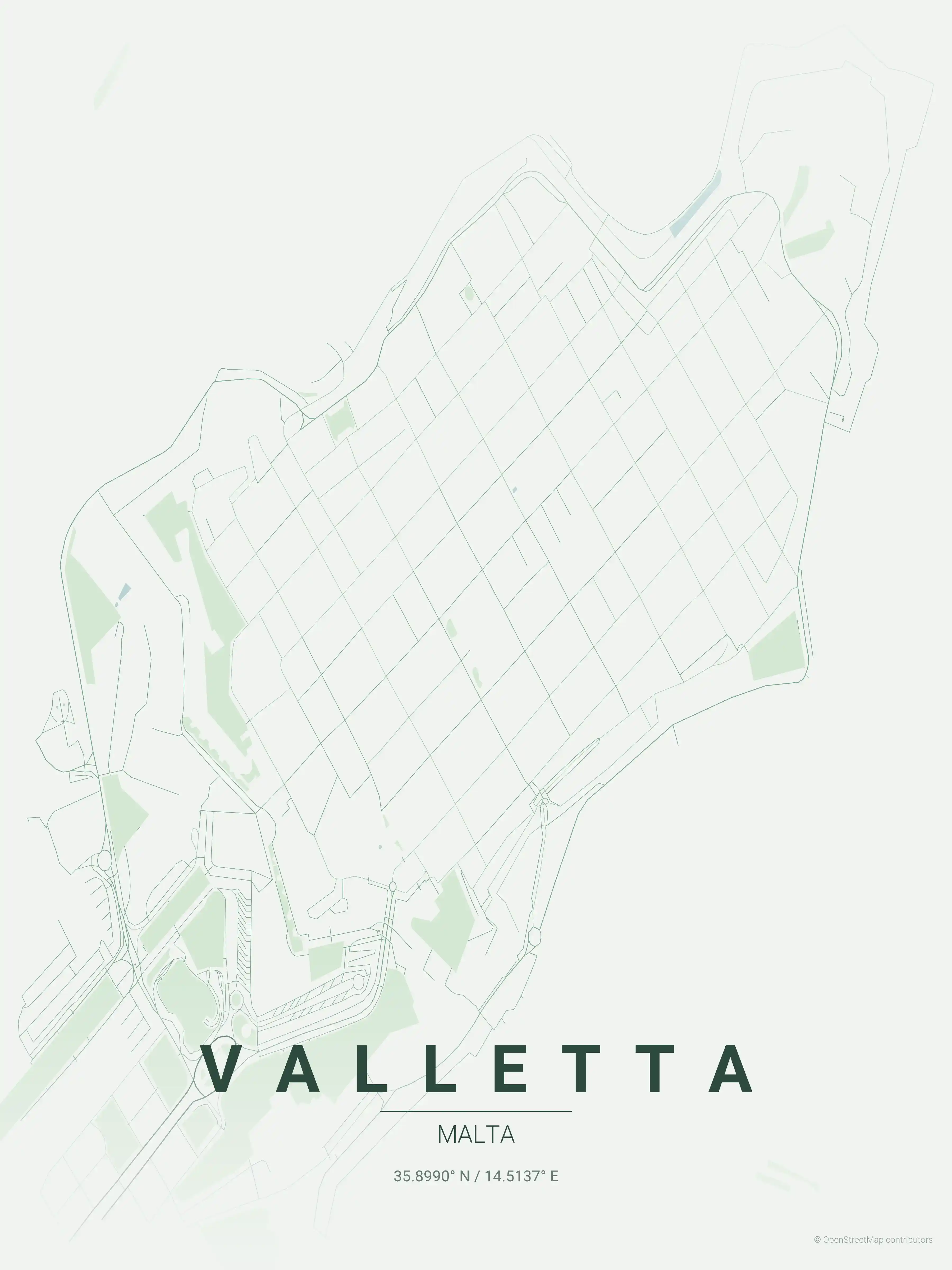
forest
Click to preview
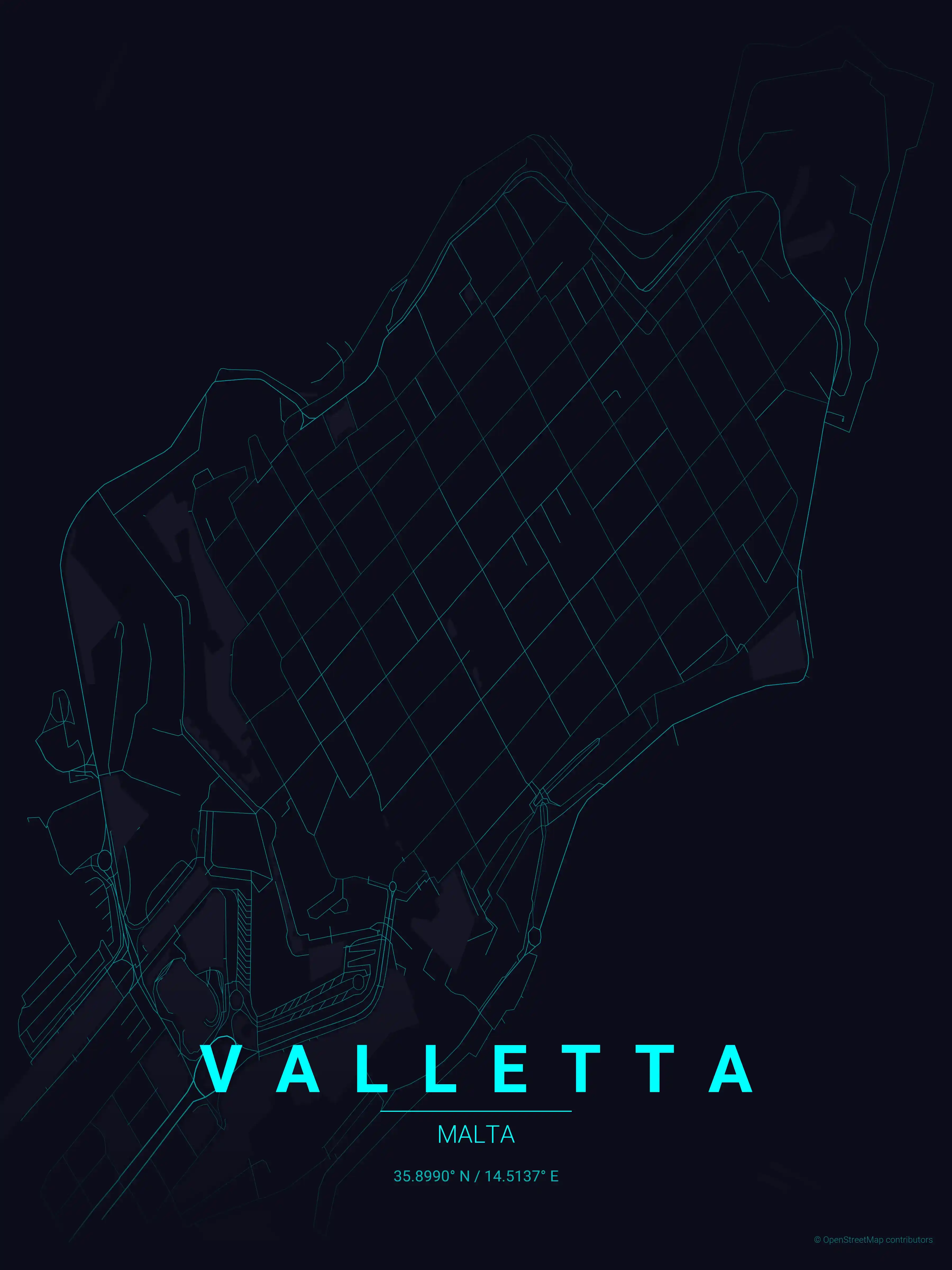
neon cyberpunk
Click to preview
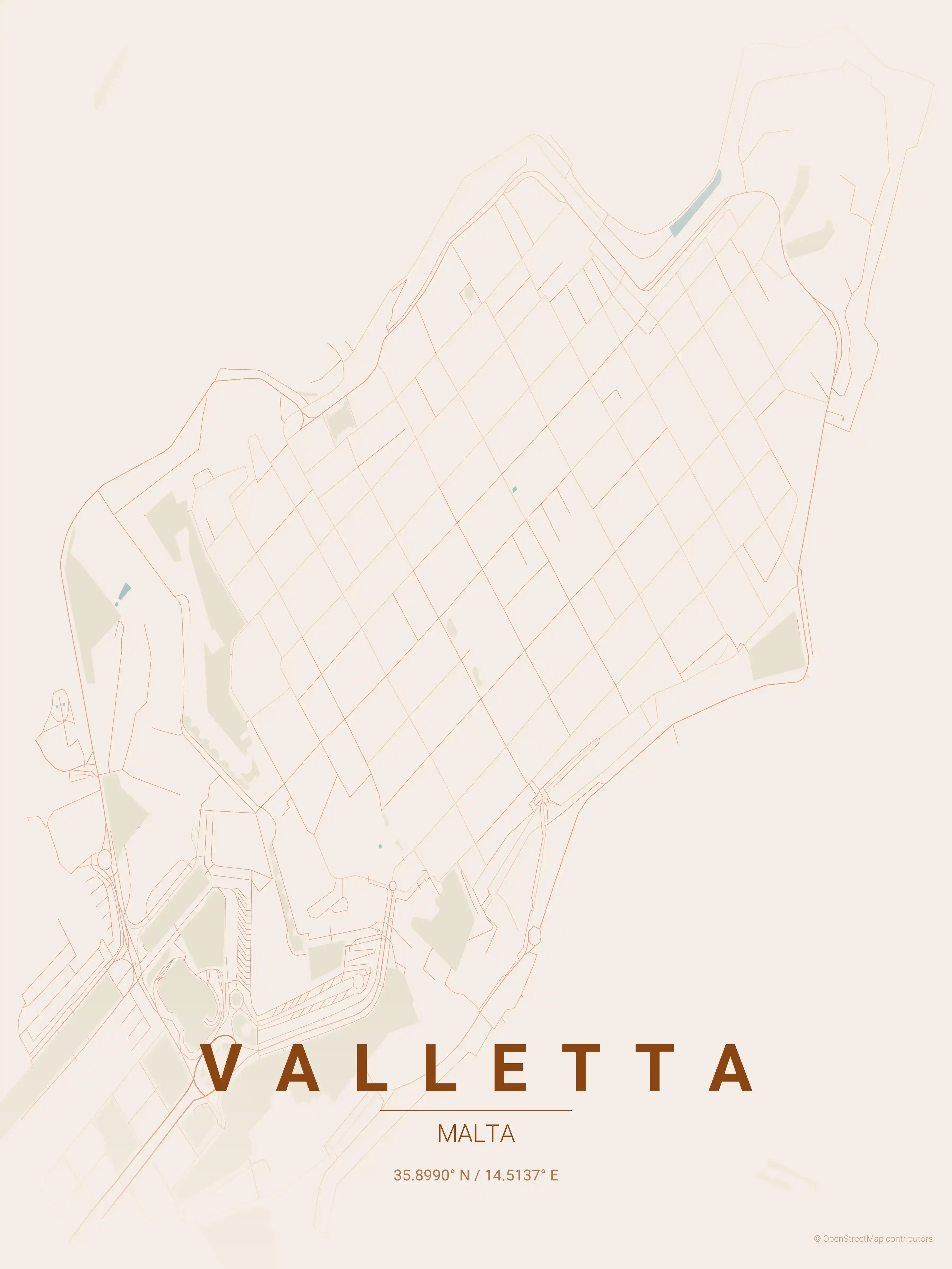
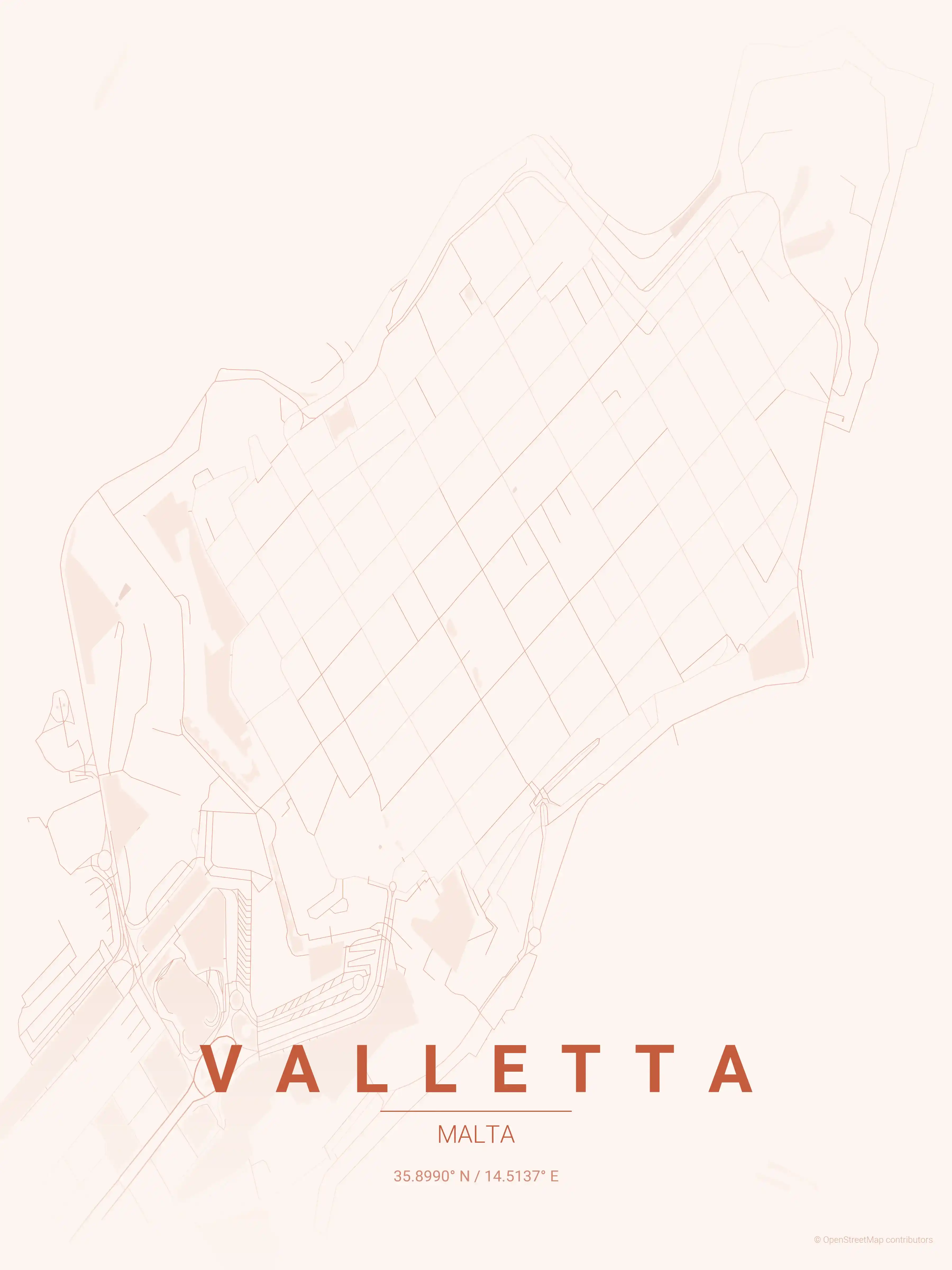
terracotta
Click to preview
japanese ink
Click to preview
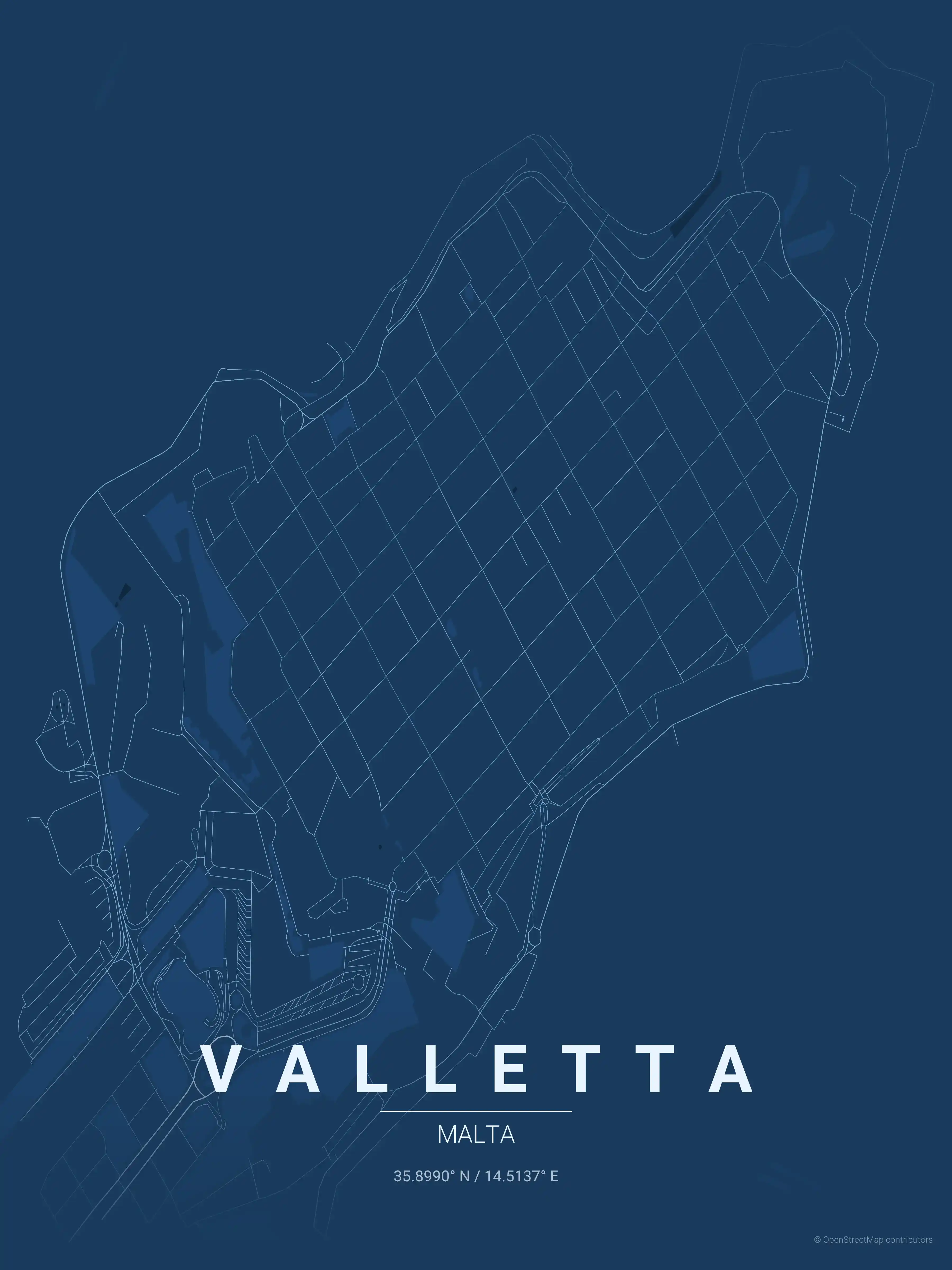
blueprint
Click to preview
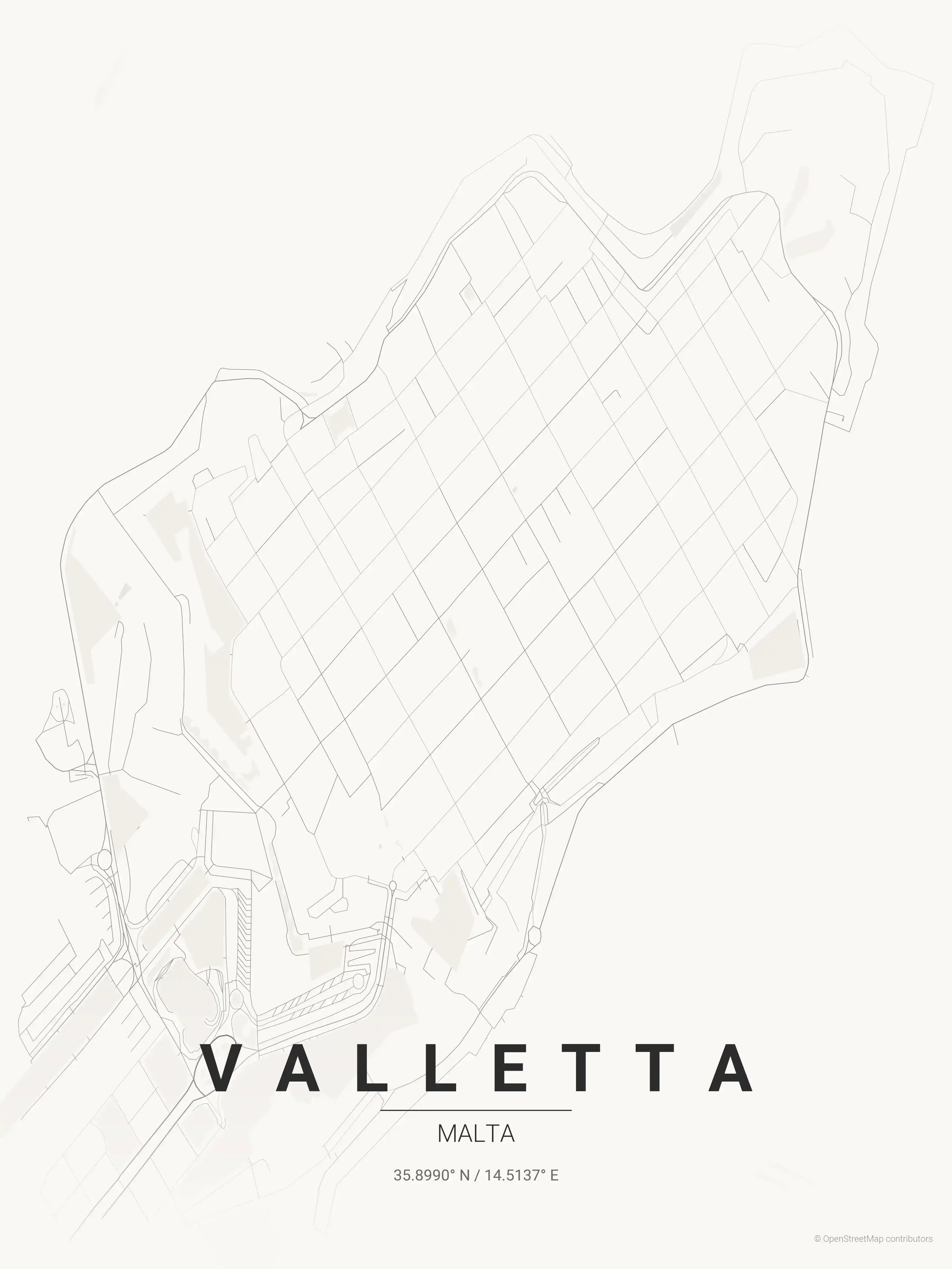
warm beige
Click to preview
sunset
Click to preview
Valletta Map — FAQ
Common questions about the free Valletta street map poster
Is the Valletta map poster free to download?
Yes. Every Valletta, Malta street map poster is 100% free to download for personal use — no signup, no email, and no watermark. Download as many themes as you like.
What does the Valletta map show?
It's a minimalist street map of Valletta — a clean outline of the city's real street network, including the the UNESCO-listed Valletta peninsula and landmarks such as Republic Street, Merchants Street, St. John's Co-Cathedral. It works as both decorative wall art and a stylised reference map of Valletta.
What size can I print the Valletta map at?
The file is high-resolution and prints crisp at sizes up to roughly A1 (24×36 in / 60×90 cm). Popular frame sizes are A3, A2, 18×24 in and 50×70 cm.
How many themes are available for Valletta?
Valletta is available in 9 artistic themes, including contrast zones, midnight blue, forest and more — same street layout, different colour palettes.
More Maps from Malta
Discover other cities in our collection