Oslo Street Map Poster
Free printable Norway city map & outline — contrast zones theme
Free high-resolution downloads. Print anywhere you like.
Digital Download
Free
High-resolution digital file
What You Get
- High-resolution WebP file
- Optimized for any print size
- Multiple artistic themes
- Free for personal use
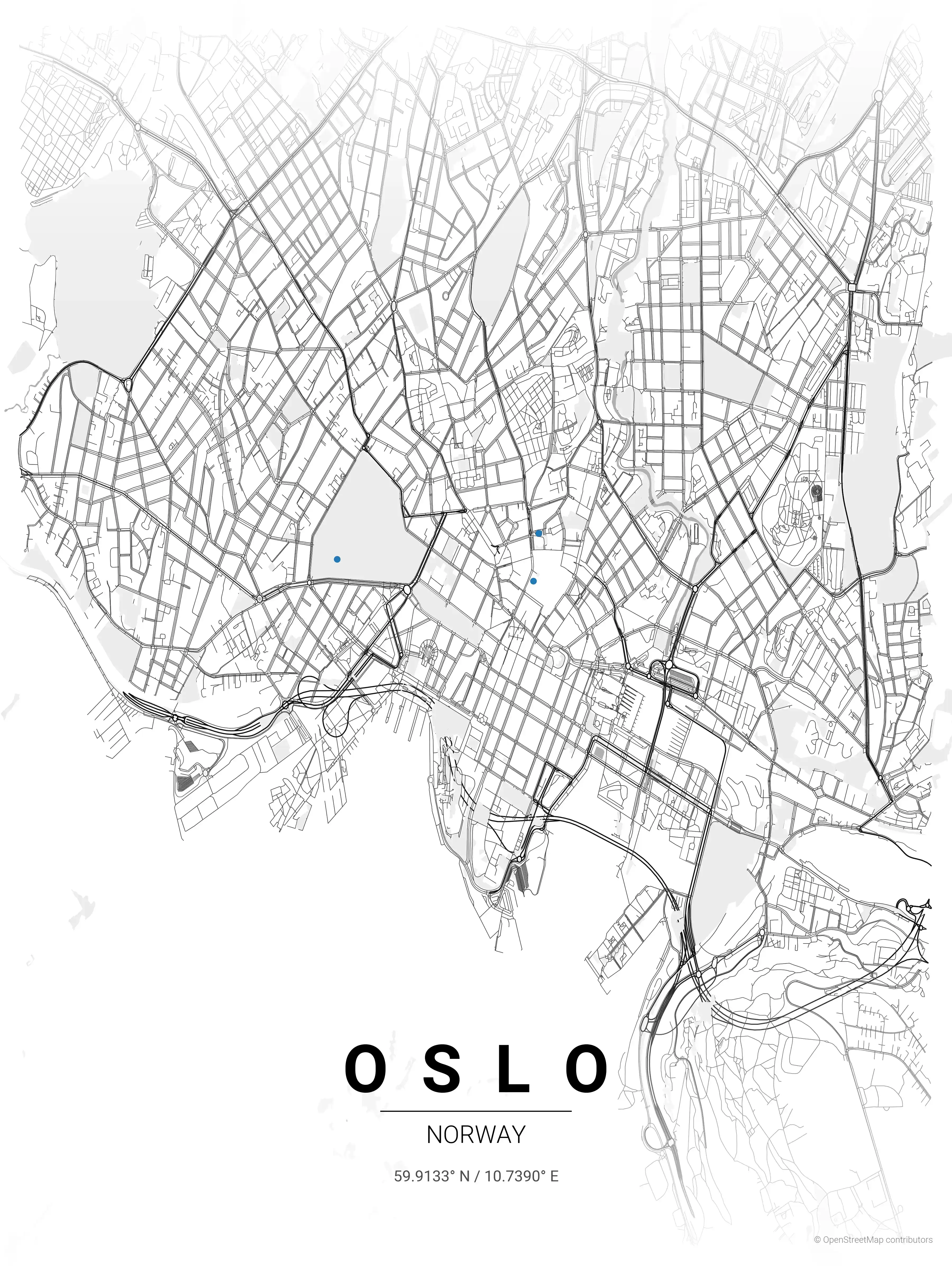
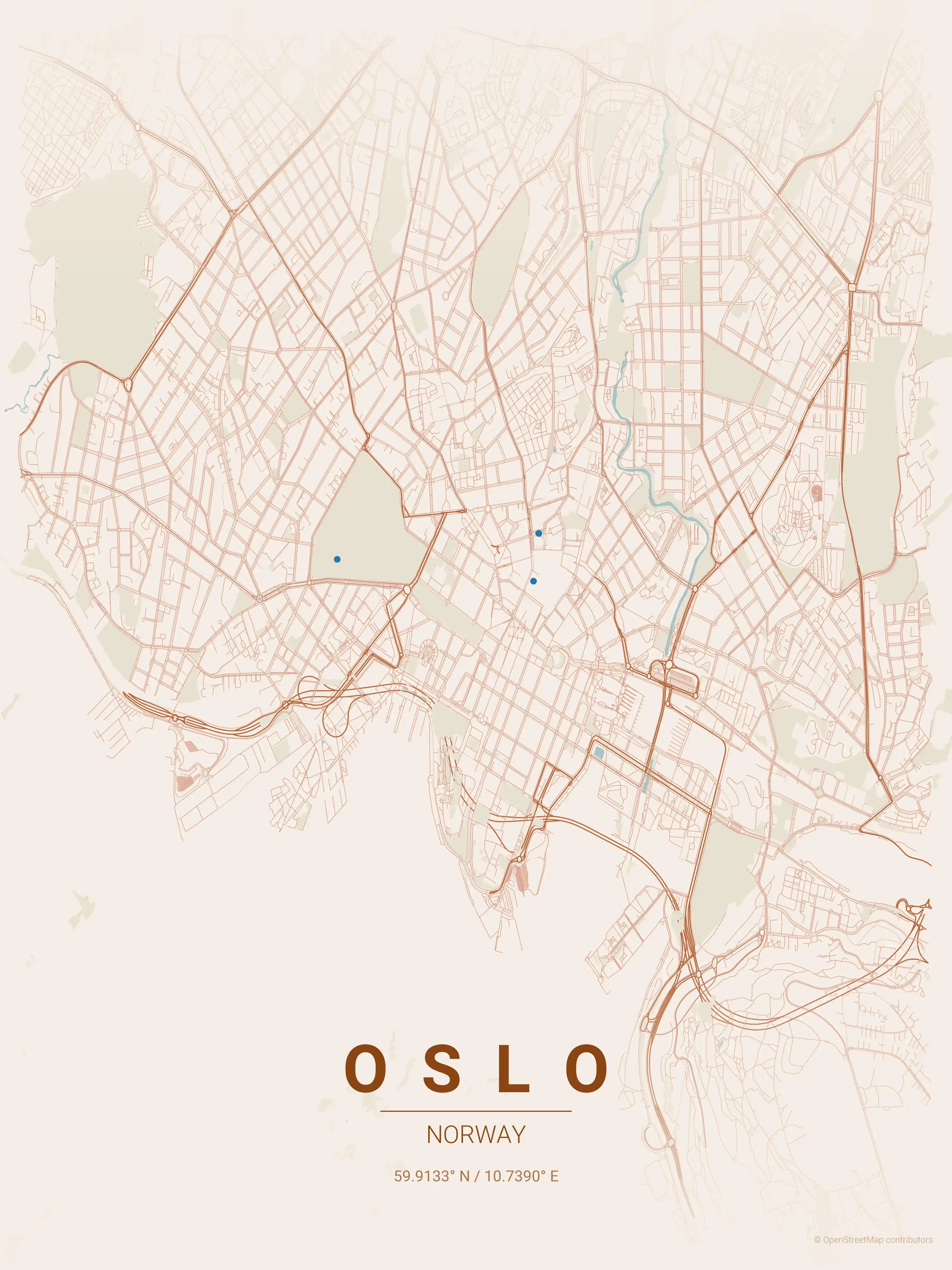
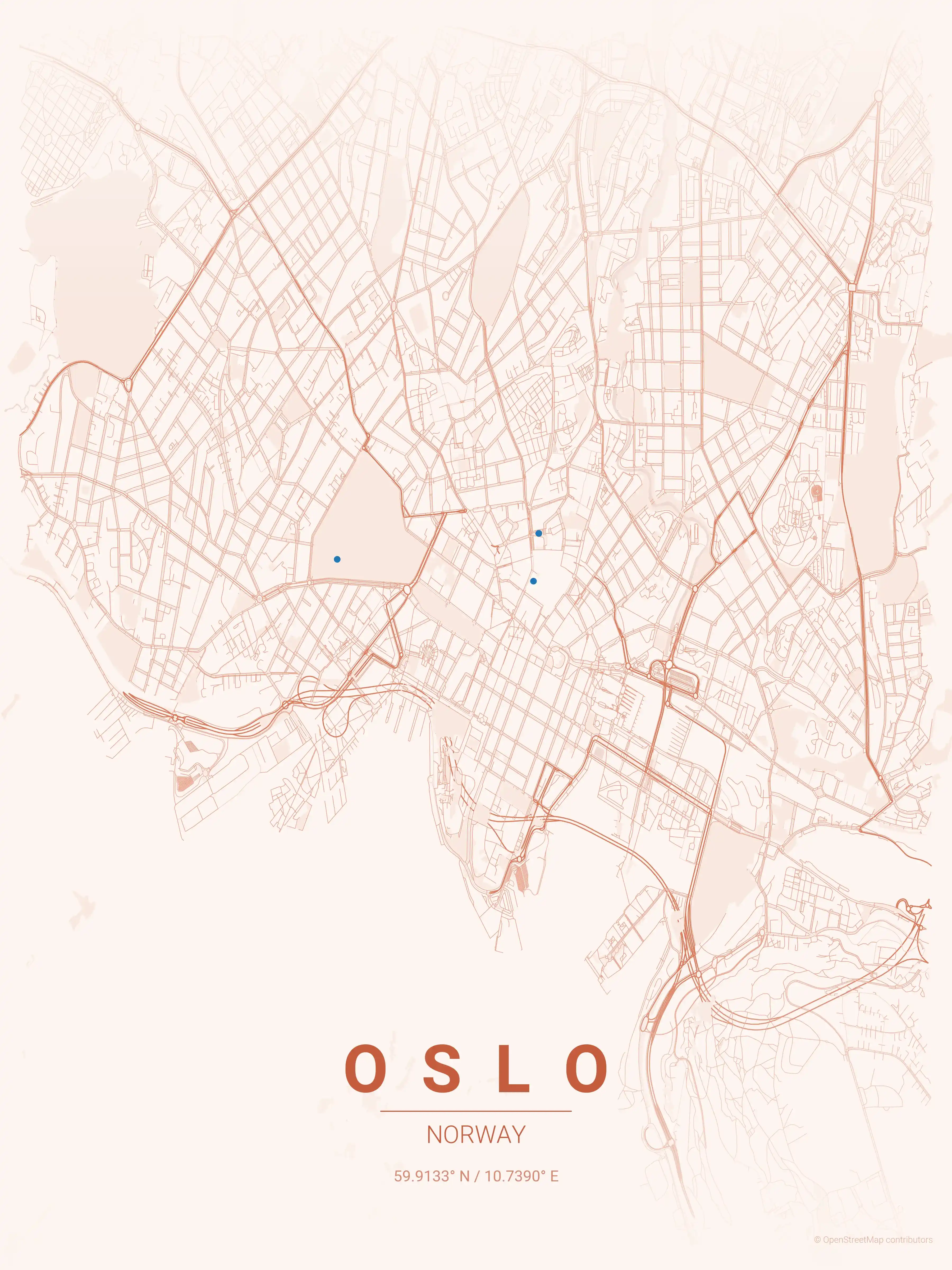
Free Printable Oslo Street Map
This is a detailed, minimalist street map of Oslo, covering the Kvadraturen in Norway, with landmarks such as Karl Johans gate, the Oslofjord waterfront, the Royal Palace. Download it free as a high-resolution, print-ready file — equally at home as framed wall art or a clean reference street map and city outline of Oslo.
Also known as: kart over Oslo
About the Oslo Map Poster
Norway’s capital fans out from the head of the Oslofjord, and its street map captures that amphitheatre layout neatly. The central spine is Karl Johans gate, running from Oslo Central Station up past the Storting to the Royal Palace at the top of its park. South of it lies Kvadraturen, the rectilinear 17th-century grid laid out under Christian IV beside Akershus Fortress, while the waterfront curls along the fjord through Aker Brygge and the newer Bjørvika district.
Beyond the centre the map opens up: the green expanse of Frogner Park to the west, the tightly packed blocks of Grünerløkka along the Akerselva river to the northeast, and roads that thin out as they climb toward the forested Marka hills. A minimalist street map of Oslo shows just how much the fjord and the surrounding ridges hem the city in.
Printable in high resolution and built for the wall, this city map works as understated art for anyone with a connection to Oslo. See other Norway city maps or add the Bergen map poster for a two-coast pairing.
How to Print Your Oslo Map
Download the high-resolution file and print it at home, through an online print service (Printful, Printify, Shutterfly, Vistaprint), or at a local print shop. The Oslo street map prints crisp at sizes up to roughly A1 (24×36 in / 60×90 cm).
- · Popular frame sizes: A3, A2, 18×24 in, 50×70 cm
- · Portrait 3:4 aspect ratio — fits standard poster frames
- · No watermark · no attribution required for personal use
File Information
What's Included
- High-resolution file optimized for professional printing
- Instant download – no registration or account needed
- Print as many times as you like for personal use
- Clean design with no watermarks or attribution required
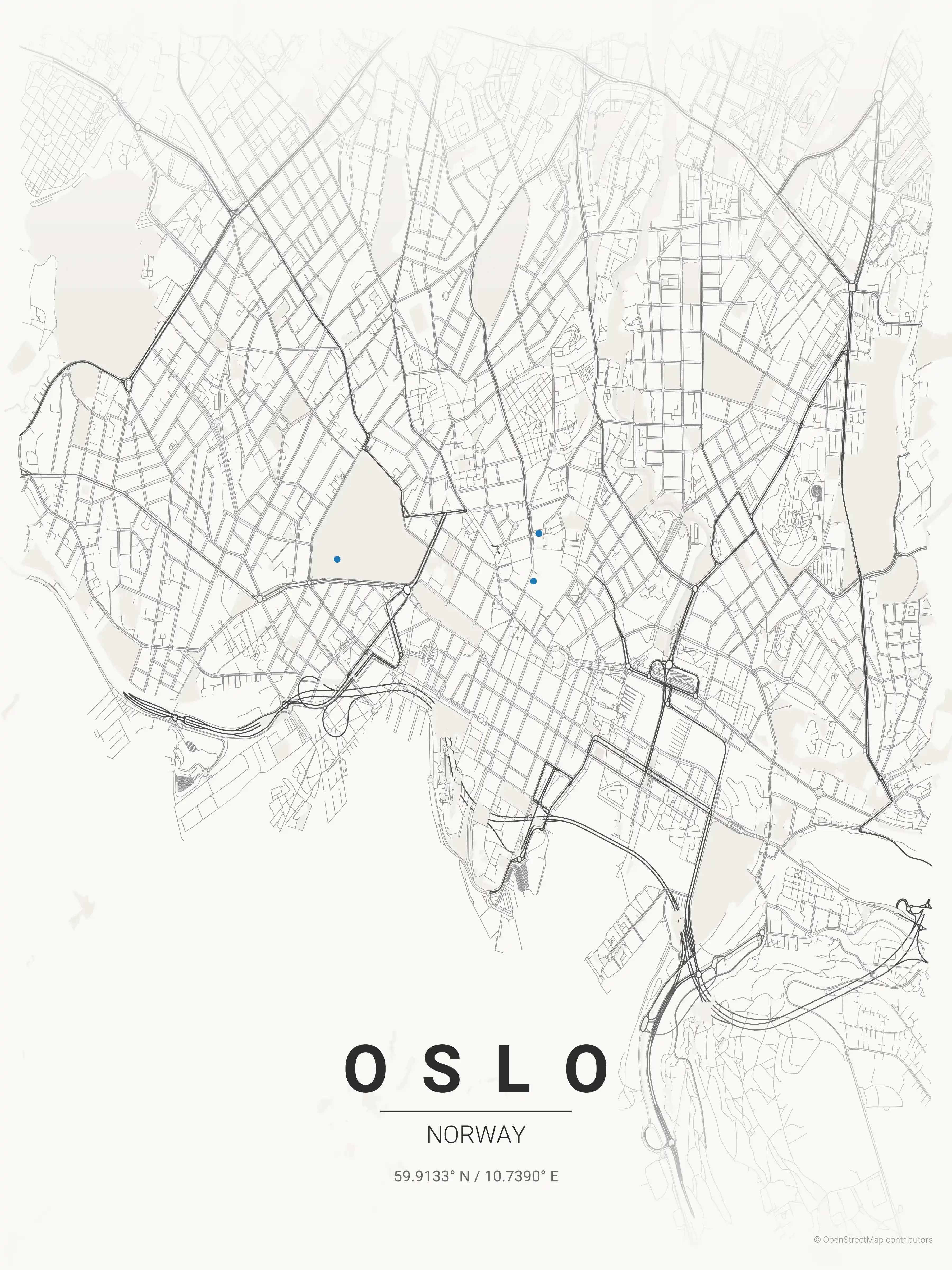
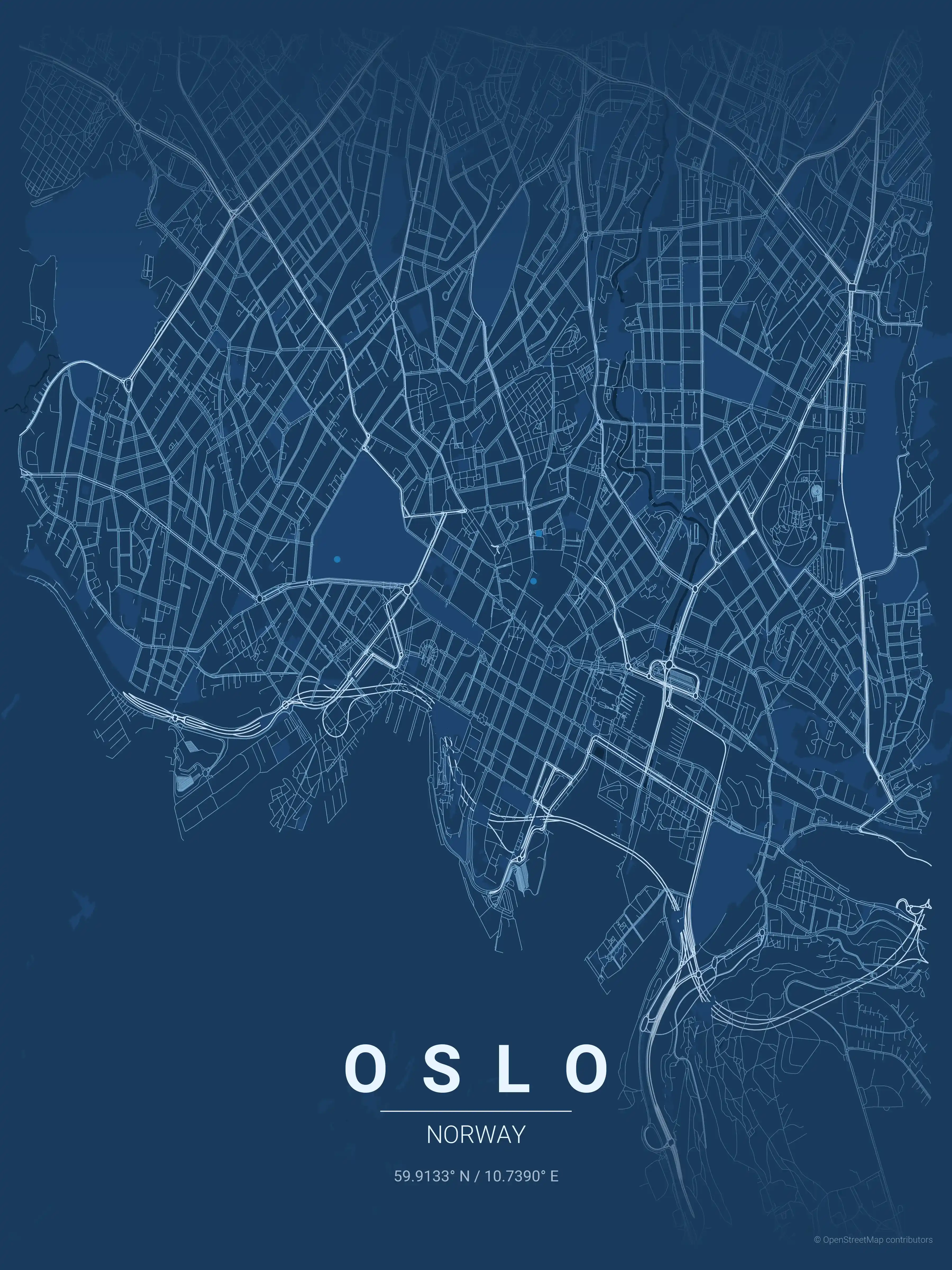
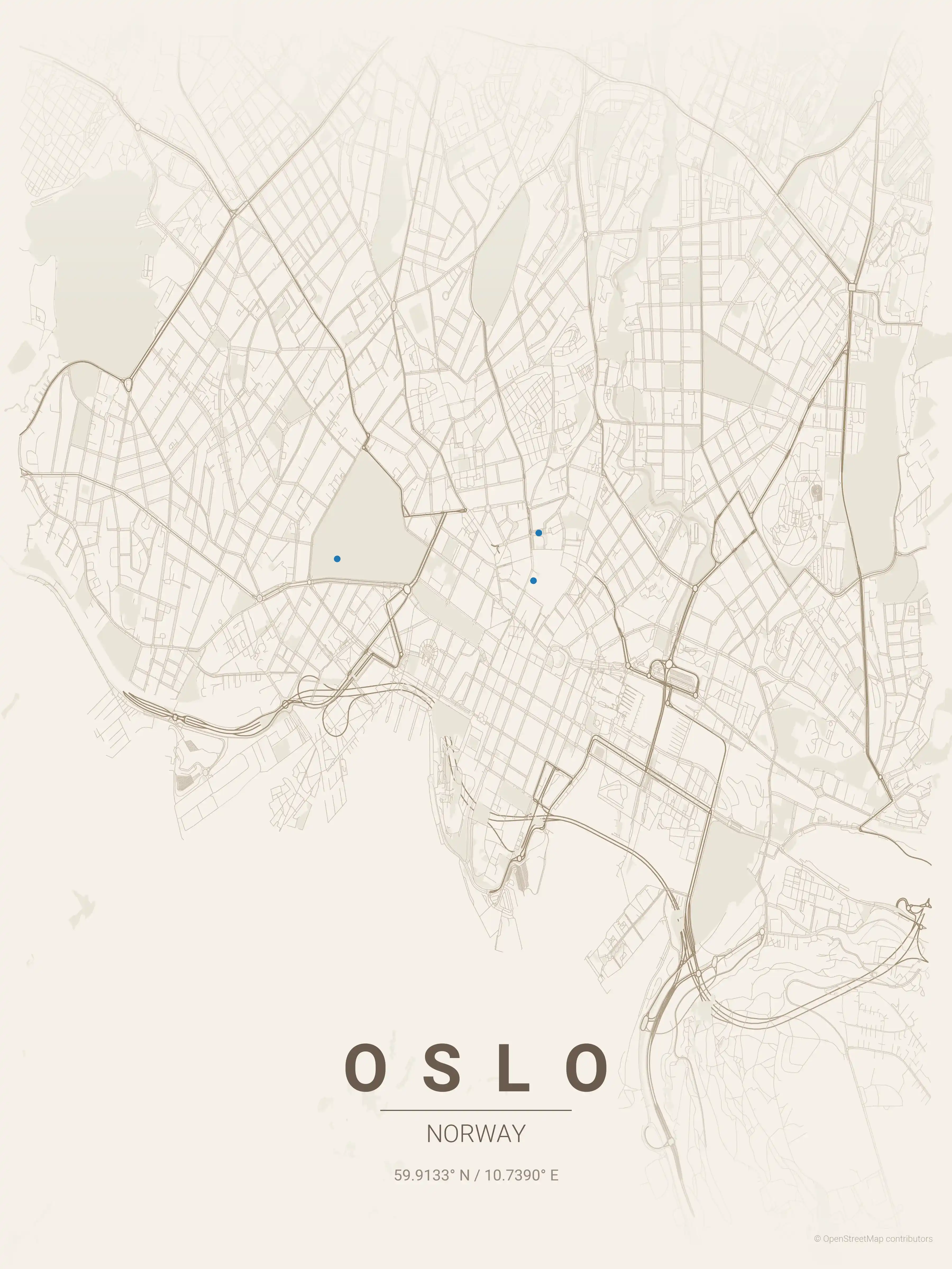
Theme Collection
Explore all available aesthetic variations
contrast zones
Click to preview
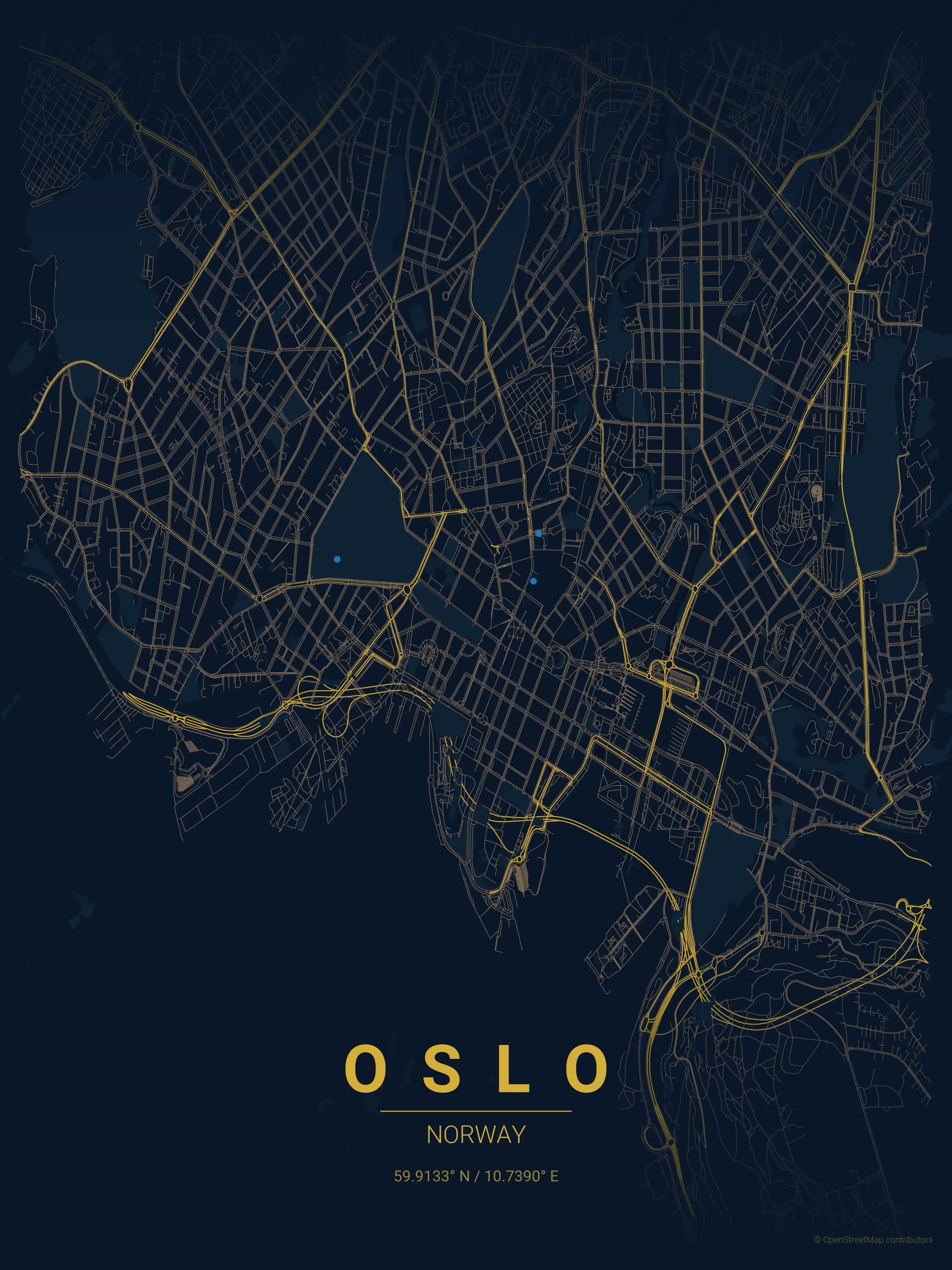
midnight blue
Click to preview
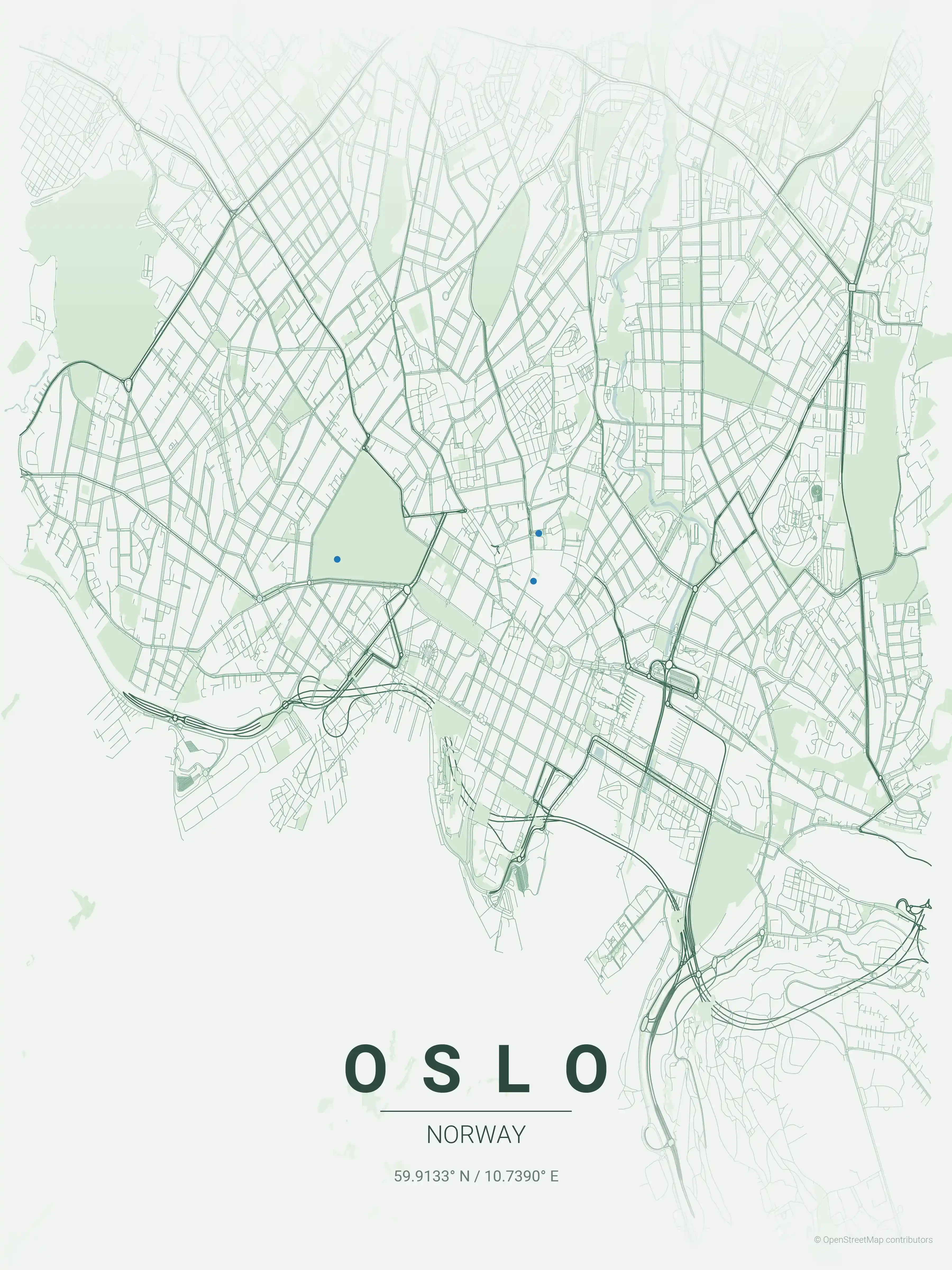
forest
Click to preview
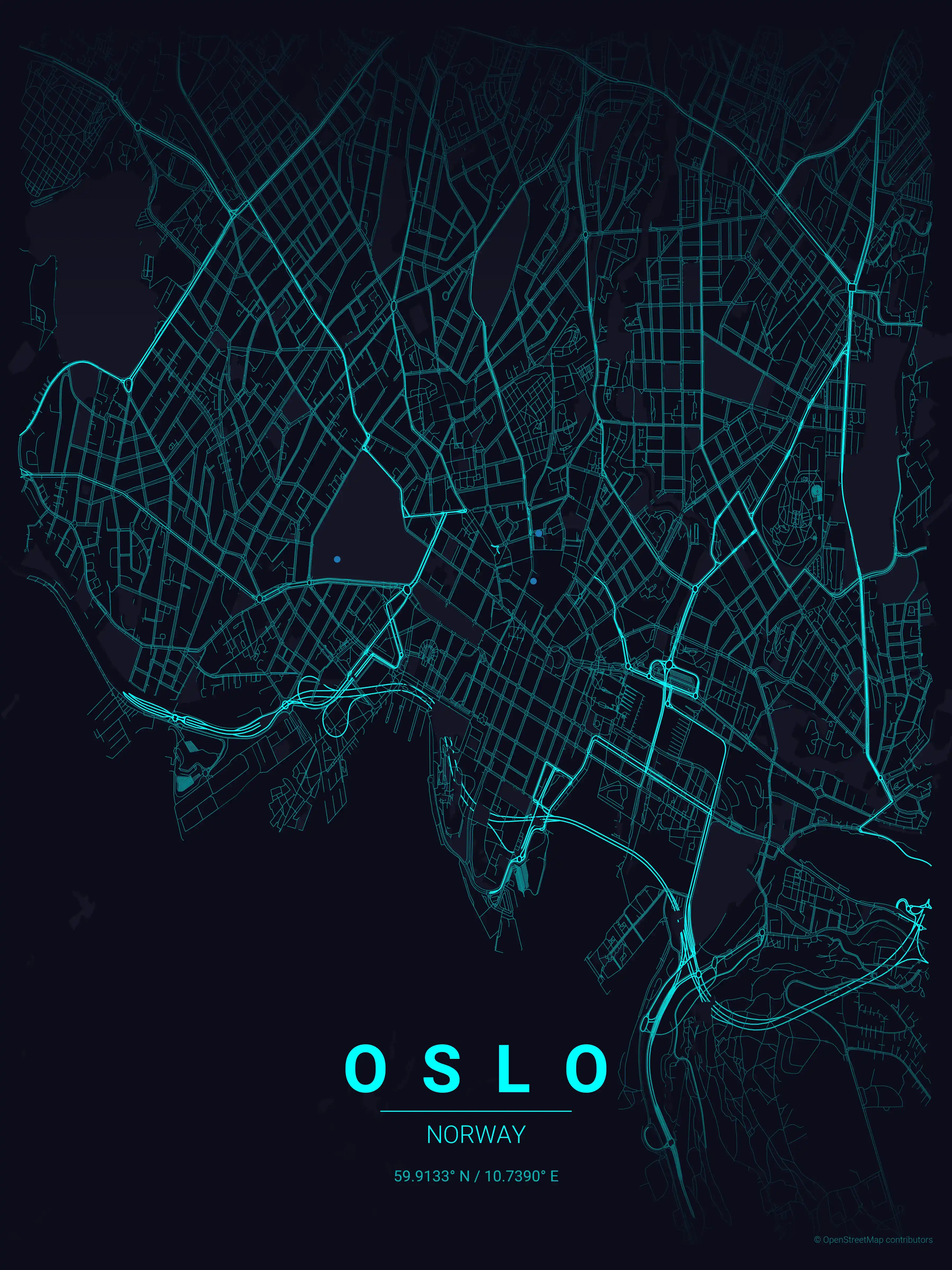
neon cyberpunk
Click to preview
terracotta
Click to preview
japanese ink
Click to preview
blueprint
Click to preview
warm beige
Click to preview
sunset
Click to preview
Oslo Map — FAQ
Common questions about the free Oslo street map poster
Is the Oslo map poster free to download?
Yes. Every Oslo, Norway street map poster is 100% free to download for personal use — no signup, no email, and no watermark. Download as many themes as you like.
What does the Oslo map show?
It's a minimalist street map of Oslo — a clean outline of the city's real street network, including the Kvadraturen and landmarks such as Karl Johans gate, the Oslofjord waterfront, the Royal Palace. It works as both decorative wall art and a stylised reference map of Oslo.
What size can I print the Oslo map at?
The file is high-resolution and prints crisp at sizes up to roughly A1 (24×36 in / 60×90 cm). Popular frame sizes are A3, A2, 18×24 in and 50×70 cm.
How many themes are available for Oslo?
Oslo is available in 9 artistic themes, including contrast zones, midnight blue, forest and more — same street layout, different colour palettes.
More Maps from Norway
Discover other cities in our collection
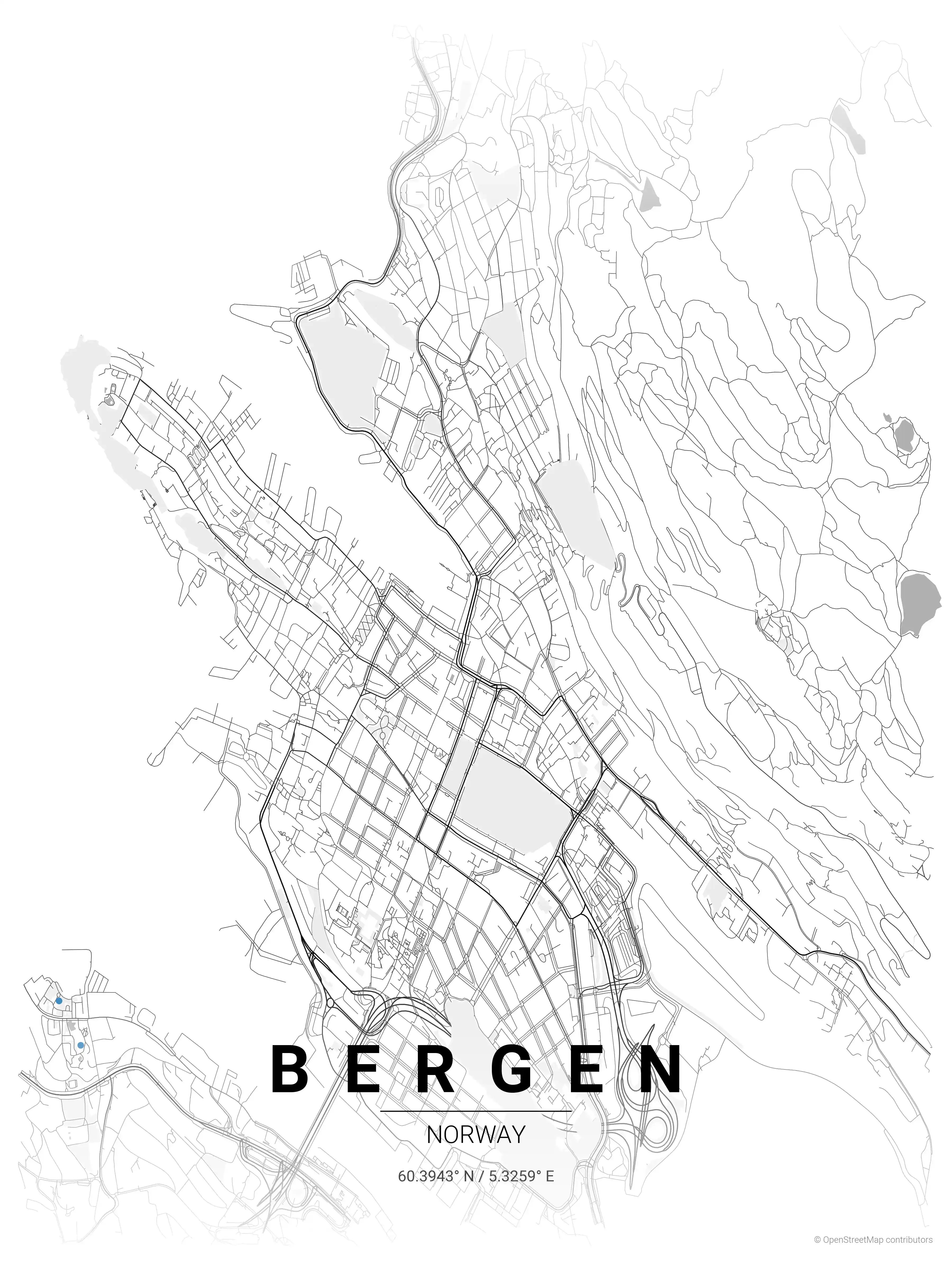
Bergen Map Poster
Adorn your walls with our minimalist Bergen, Norway street map poster. Perfect for urban art lovers, this piece captures Bergen's iconic landscapes in a modern design. Unique aesthetic appeal for a chic interior.
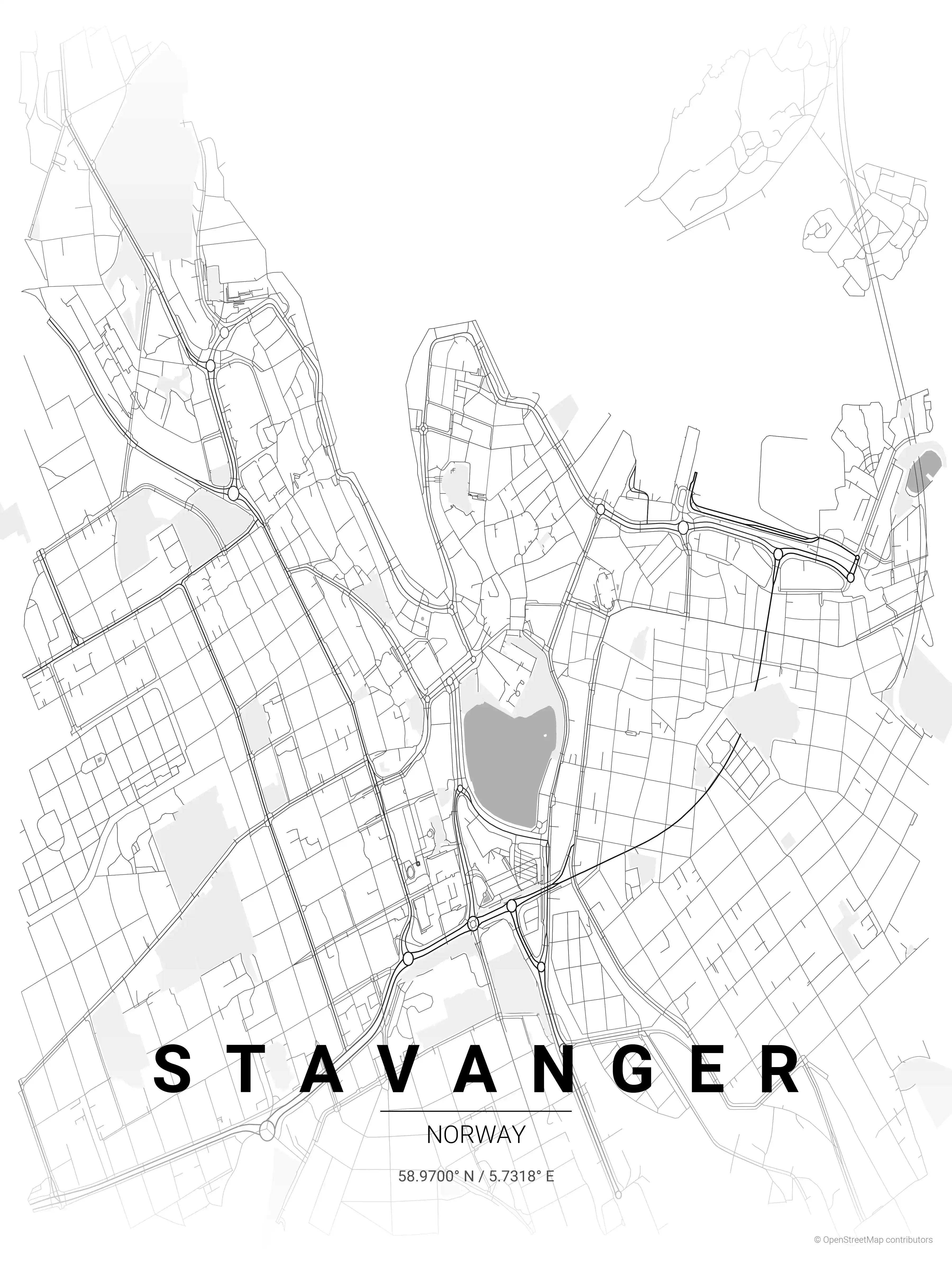
Stavanger Map Poster
Showcase your love for Stavanger with this minimalist map poster, displaying the city's iconic streets and landmarks. Perfect for urban art lovers and modern interiors, it adds a sophisticated touch.
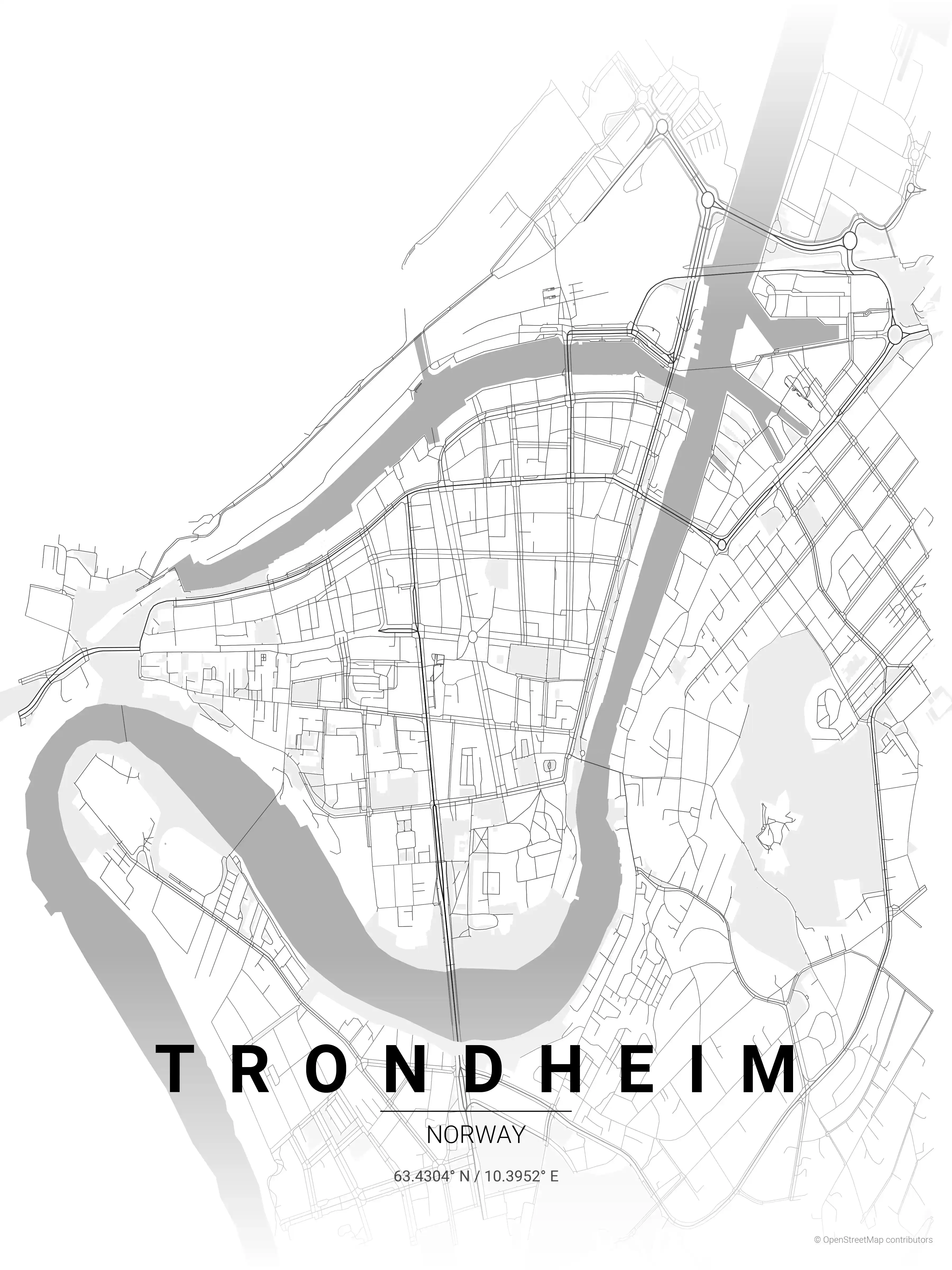
Trondheim Map Poster
Adorn your space with our minimalist street map poster of Trondheim, Norway, showcasing its iconic coastline and Nidaros Cathedral. A perfect pick for modern interiors and urban art lovers.