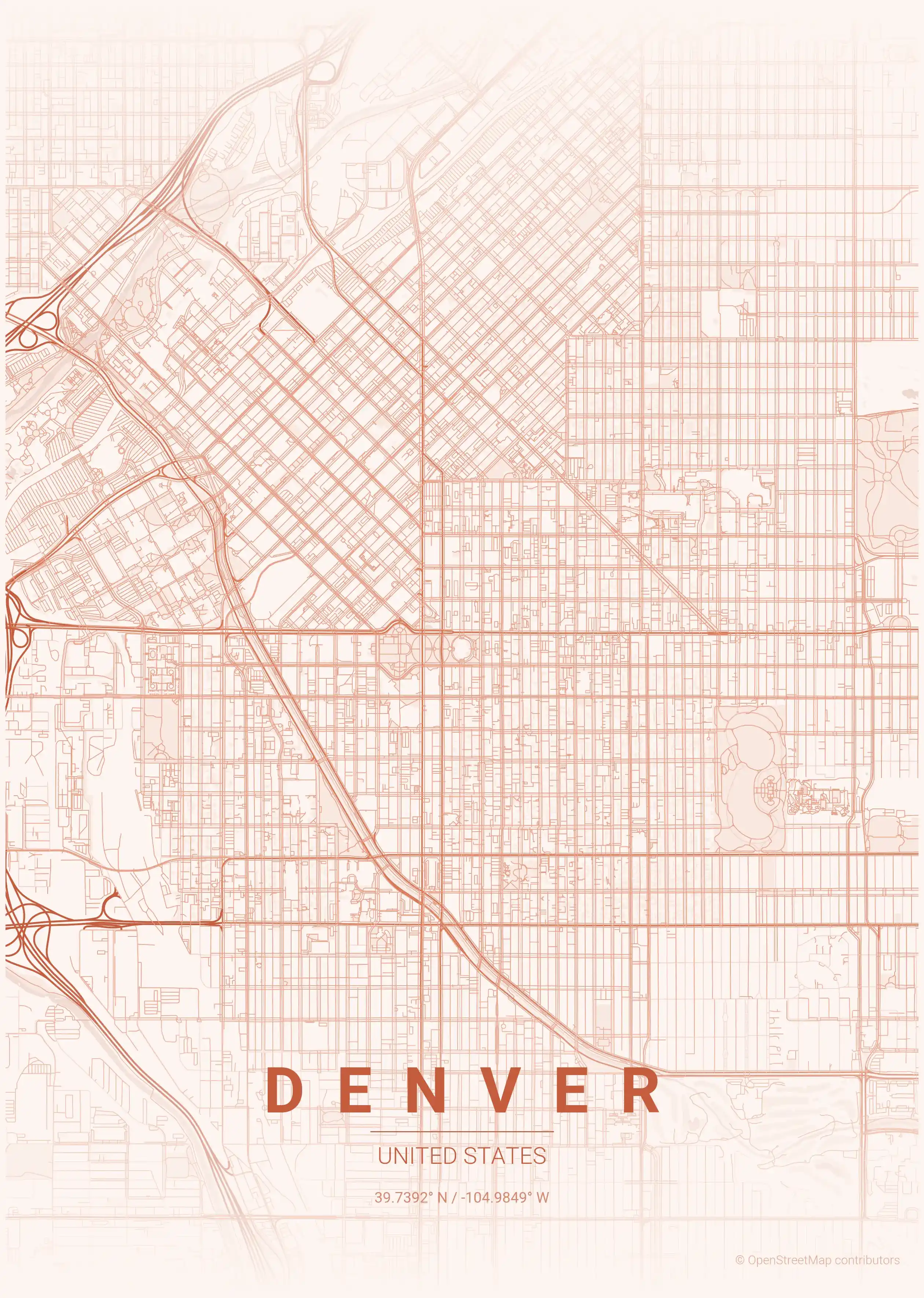
Denver Street Map Poster
Free printable United States city map & outline — contrast zones theme
Free high-resolution downloads. Print anywhere you like.
Digital Download
Free
High-resolution digital file
What You Get
- High-resolution WebP file
- Optimized for any print size
- Multiple artistic themes
- Free for personal use
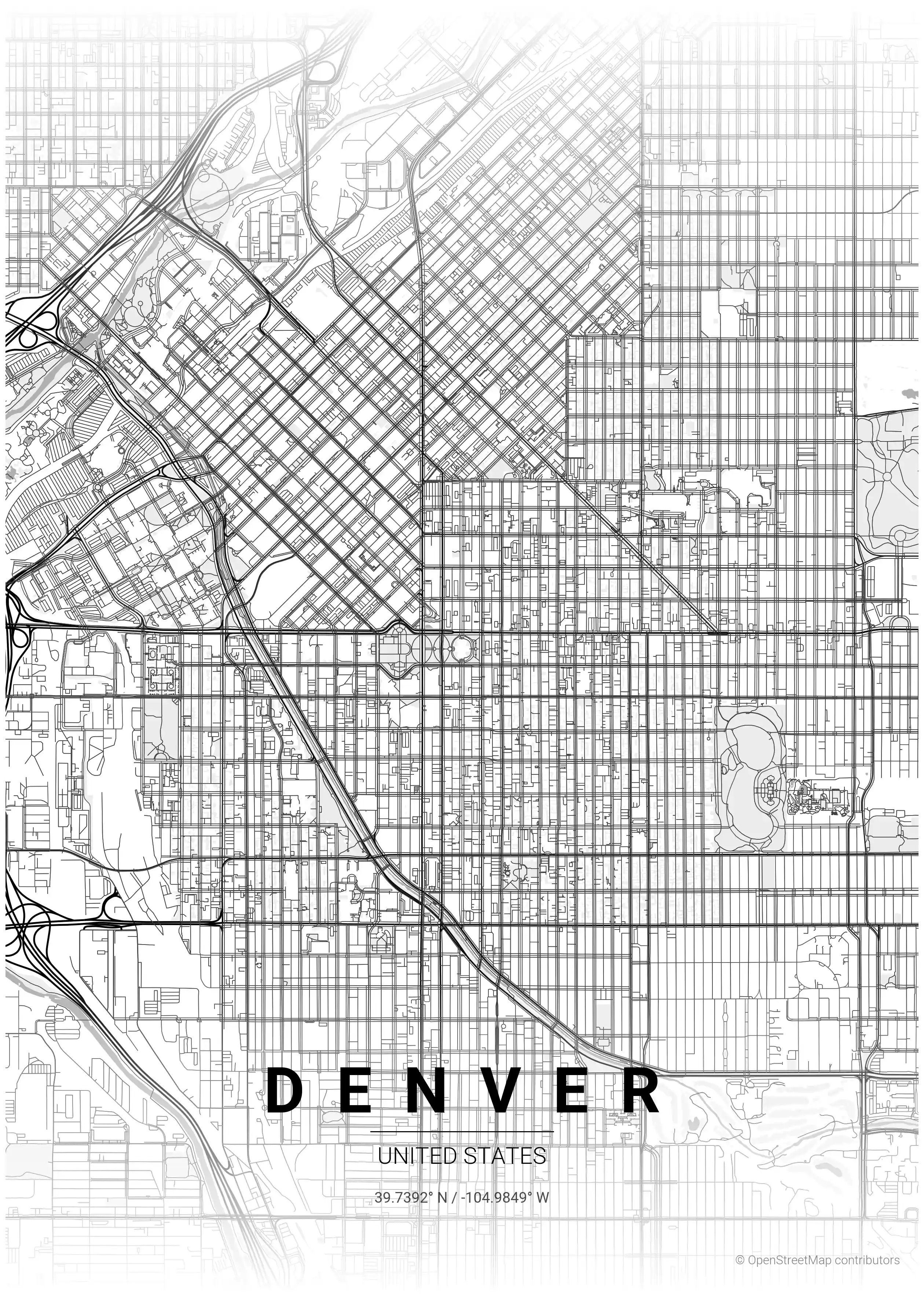
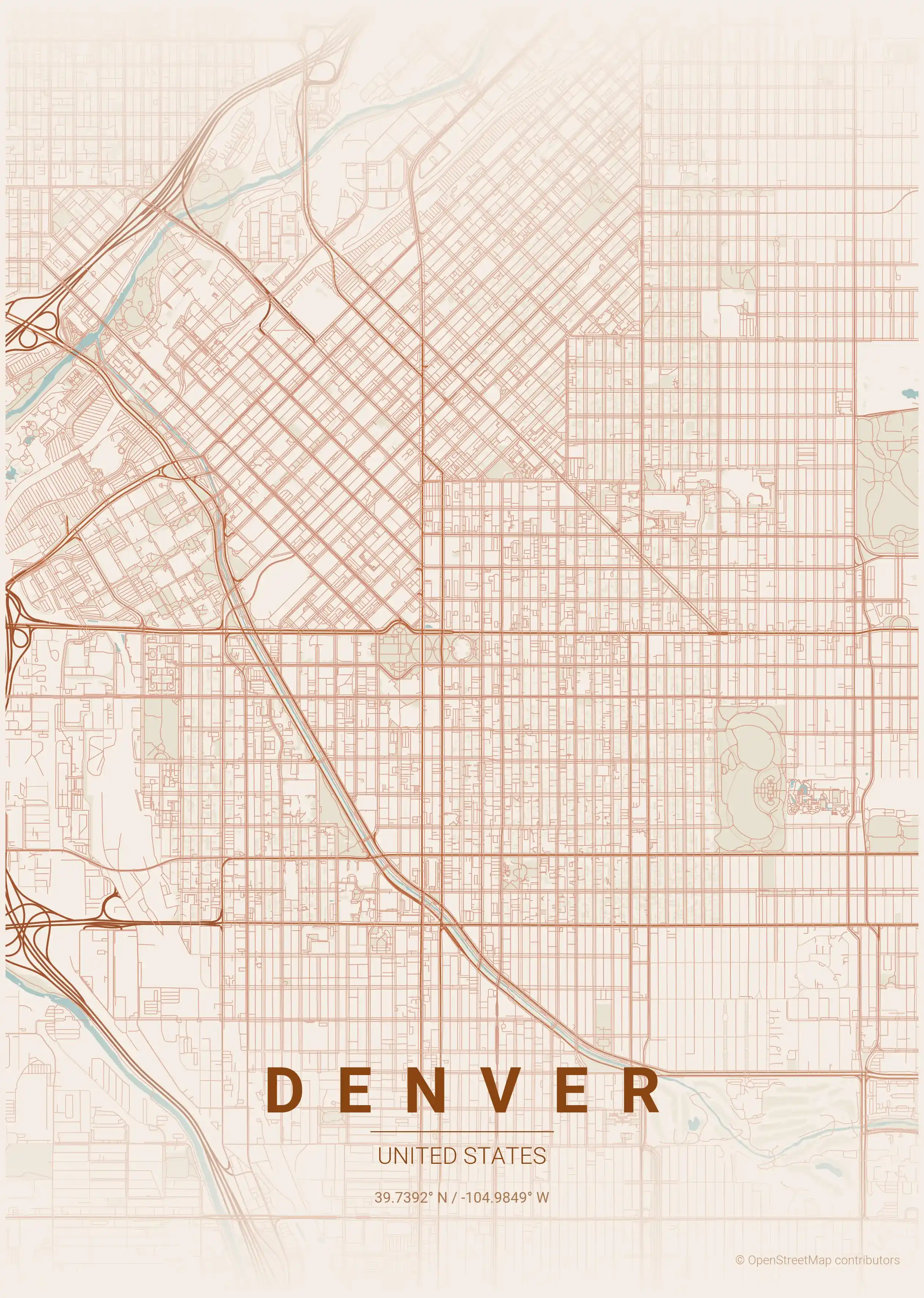
Free Printable Denver Street Map
This is a detailed, minimalist street map of Denver in United States, with landmarks such as the South Platte River, LoDo (Lower Downtown), Union Station. Download it free as a high-resolution, print-ready file — equally at home as framed wall art or a clean reference street map and city outline of Denver.
About the Denver Map Poster
Denver’s street map has a built-in twist: the downtown core sits at a 45-degree angle to the rest of the city, its blocks rotated to run parallel to the South Platte River and the old rail lines, before the surrounding grid snaps back to the cardinal directions. This printable city map captures that distinctive pivot, with Lower Downtown (LoDo) and Union Station at the hinge, the river and Cherry Creek threading through, and the leafy streets around City Park and Washington Park filling out the plan.
The contrast between the diagonal downtown and the north-south suburban grid gives a street map of Denver an immediately recognisable shape, ideal for clean, graphic wall art. The minimalist line style suits the city’s modern, mountain-edged character without cluttering the composition.
It makes a thoughtful print for a Mile High City local or anyone who has chased the Rockies from its streets. Browse our broader collection of United States city maps, or pair it with the Salt Lake City map poster for two Rocky Mountain capitals side by side. Every Denver city map is a free, high-resolution download, ready to print and frame.
How to Print Your Denver Map
Download the high-resolution file and print it at home, through an online print service (Printful, Printify, Shutterfly, Vistaprint), or at a local print shop. The Denver street map prints crisp at sizes up to roughly A1 (24×36 in / 60×90 cm).
- · Popular frame sizes: A3, A2, 18×24 in, 50×70 cm
- · Portrait 3:4 aspect ratio — fits standard poster frames
- · No watermark · no attribution required for personal use
File Information
What's Included
- High-resolution file optimized for professional printing
- Instant download – no registration or account needed
- Print as many times as you like for personal use
- Clean design with no watermarks or attribution required
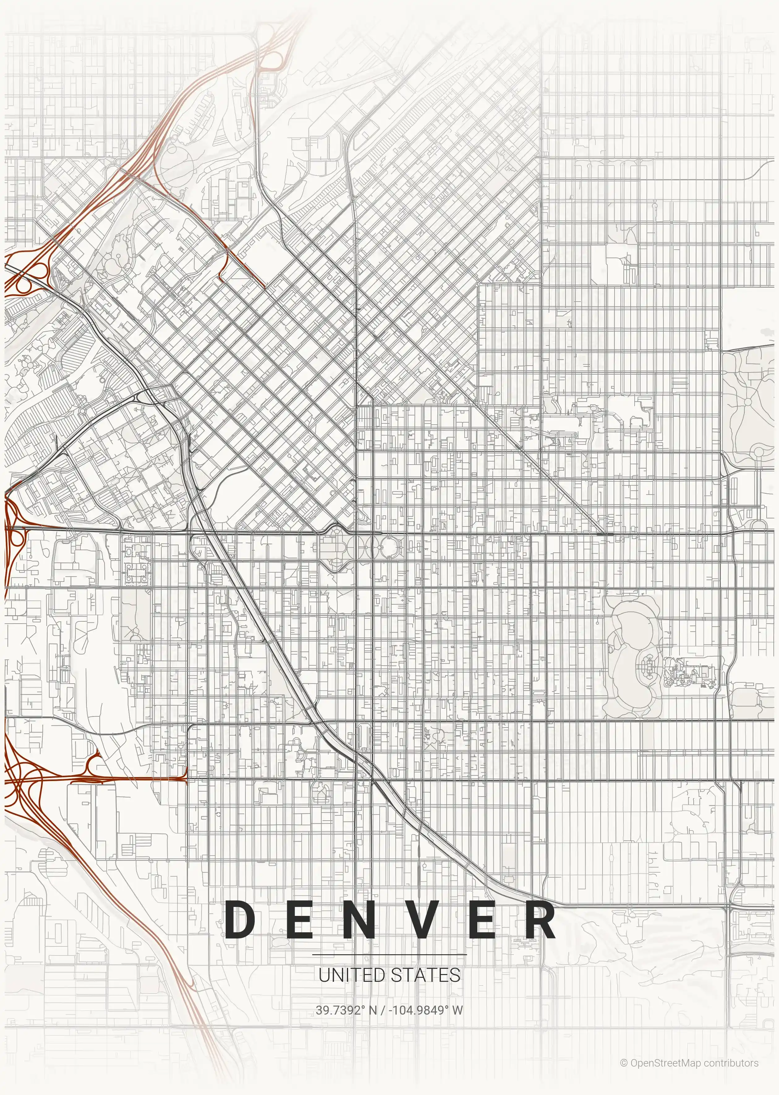
Theme Collection
Explore all available aesthetic variations
contrast zones
Click to preview
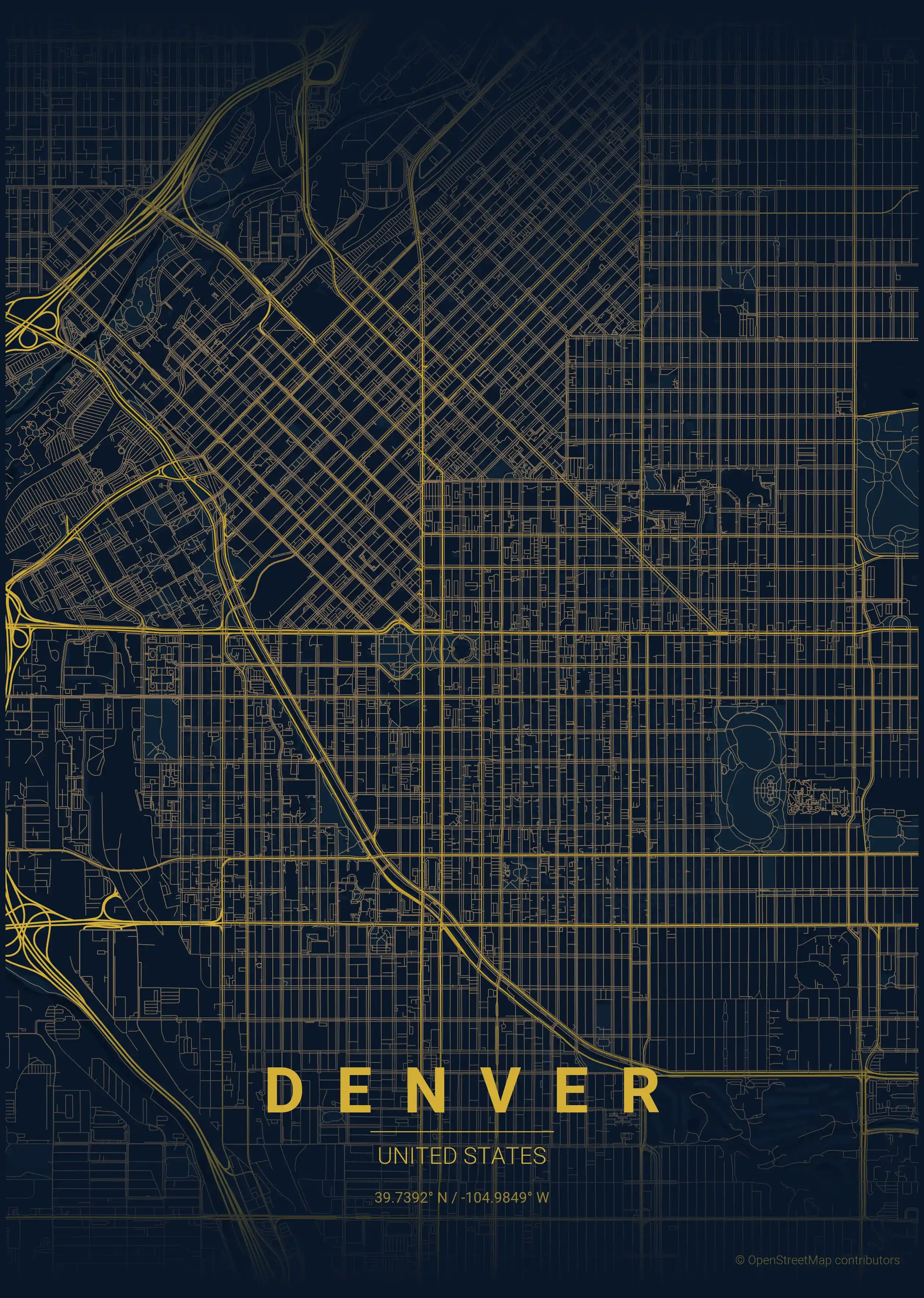
midnight blue
Click to preview
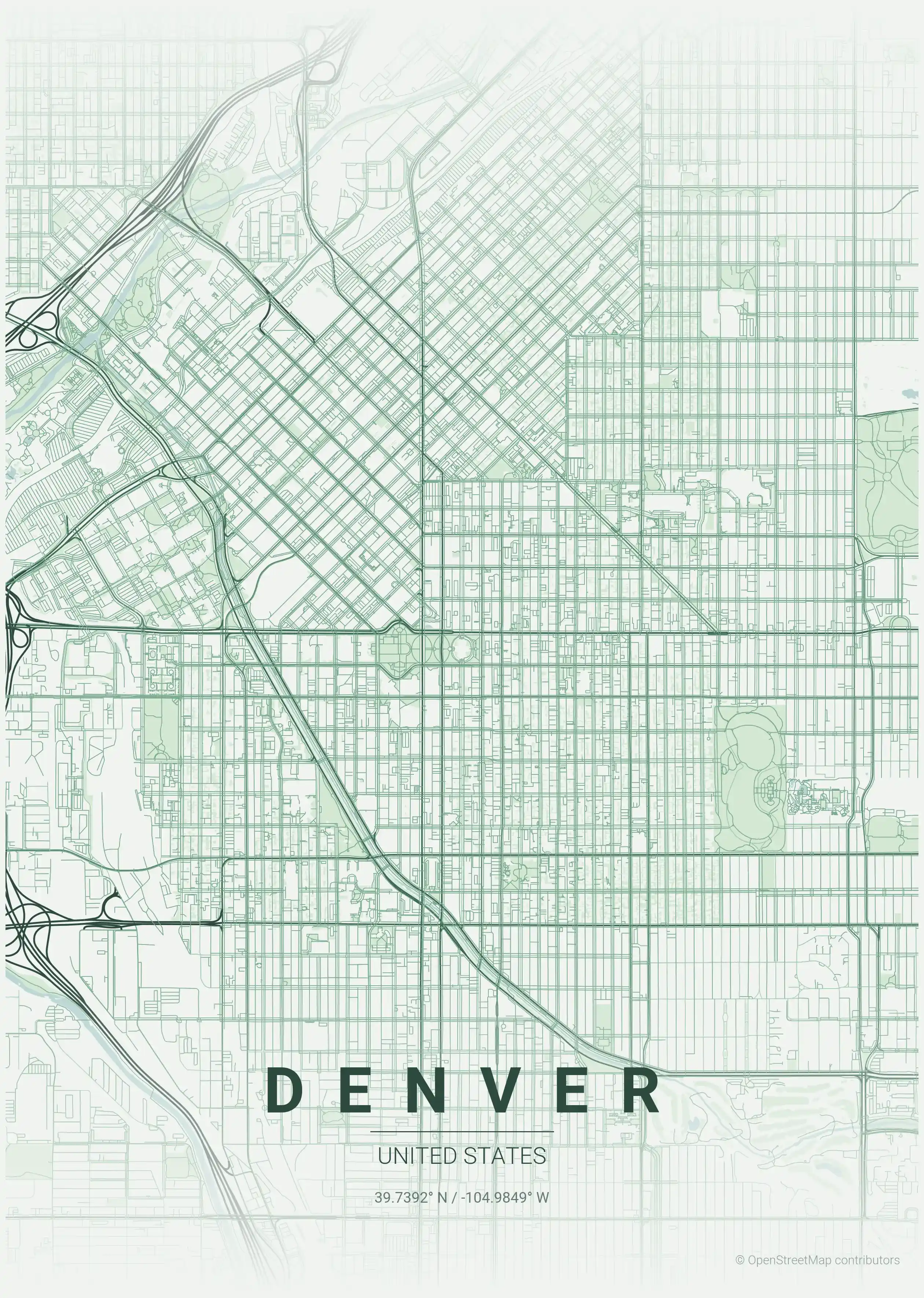
forest
Click to preview
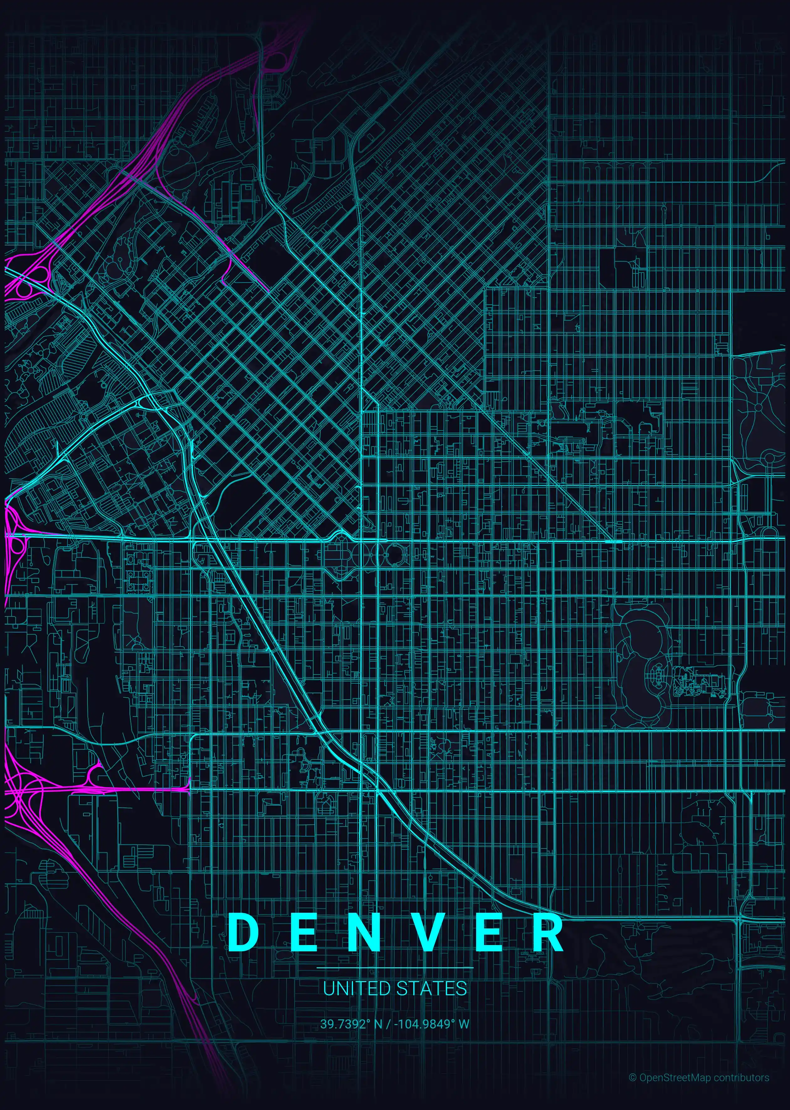
neon cyberpunk
Click to preview
terracotta
Click to preview
japanese ink
Click to preview
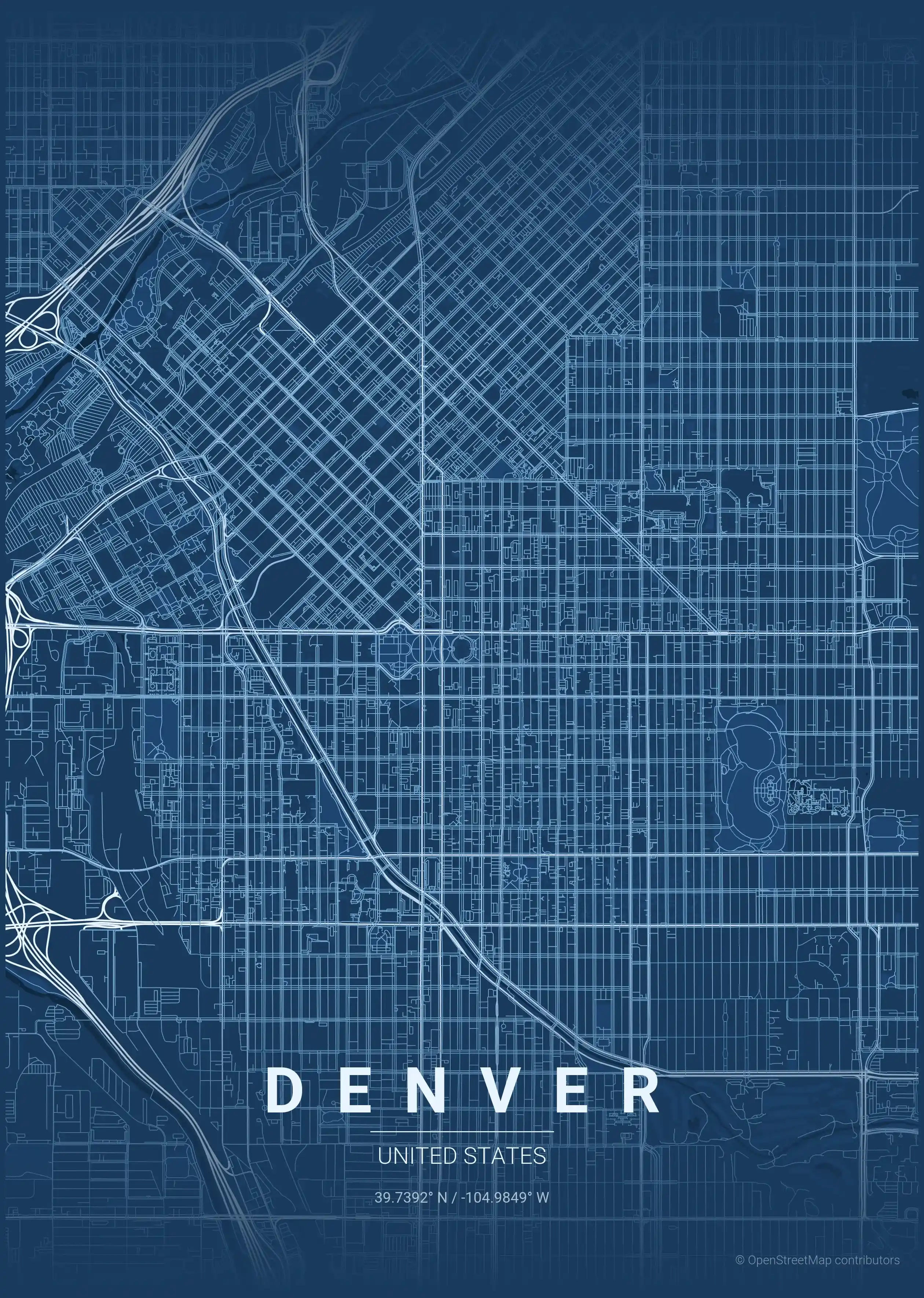
blueprint
Click to preview
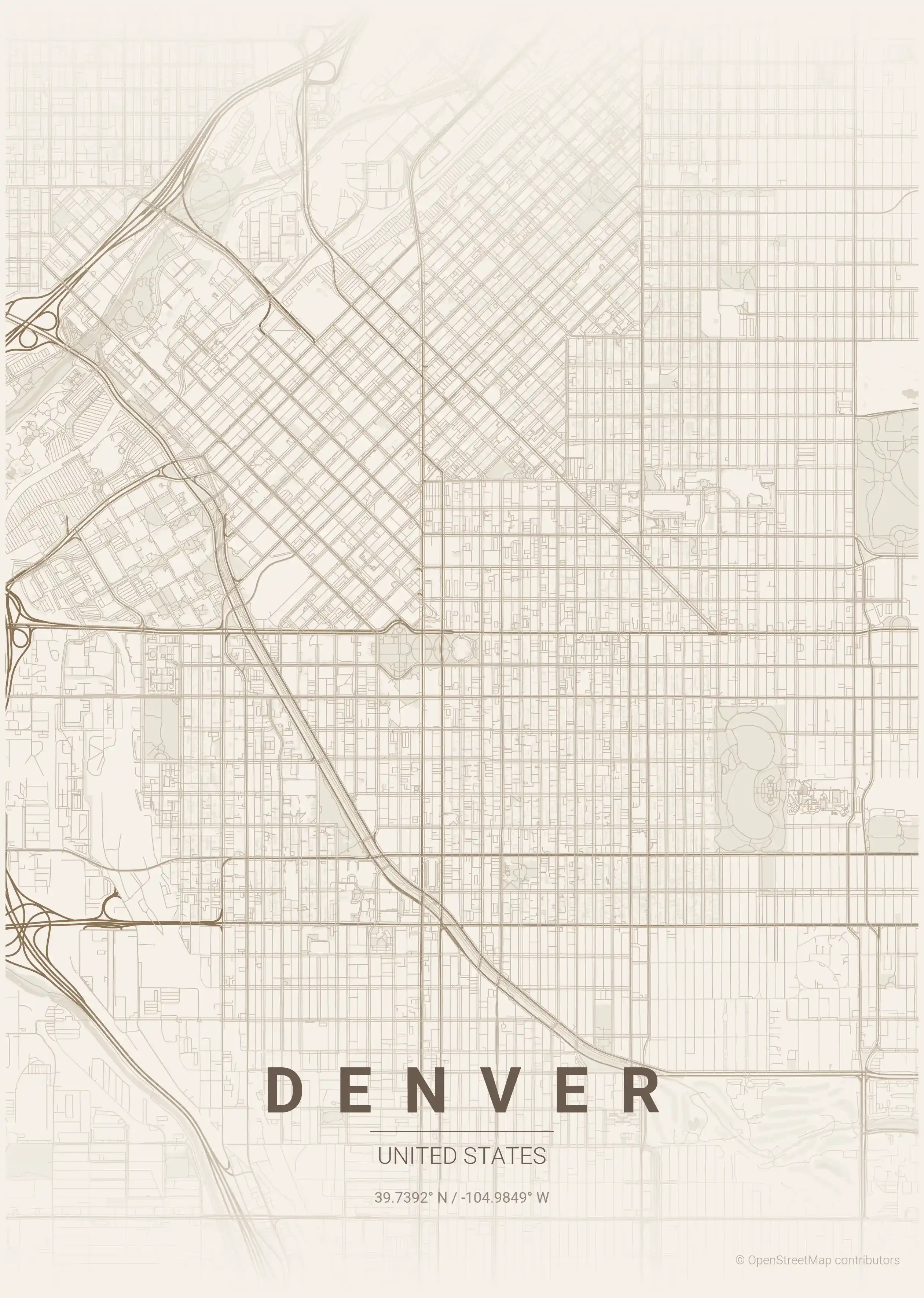
warm beige
Click to preview
sunset
Click to preview
Denver Map — FAQ
Common questions about the free Denver street map poster
Is the Denver map poster free to download?
Yes. Every Denver, United States street map poster is 100% free to download for personal use — no signup, no email, and no watermark. Download as many themes as you like.
What does the Denver map show?
It's a minimalist street map of Denver — a clean outline of the city's real street network and landmarks such as the South Platte River, LoDo (Lower Downtown), Union Station. It works as both decorative wall art and a stylised reference map of Denver.
What size can I print the Denver map at?
The file is high-resolution and prints crisp at sizes up to roughly A1 (24×36 in / 60×90 cm). Popular frame sizes are A3, A2, 18×24 in and 50×70 cm.
How many themes are available for Denver?
Denver is available in 9 artistic themes, including contrast zones, midnight blue, forest and more — same street layout, different colour palettes.
More Maps from United States
Discover other cities in our collection
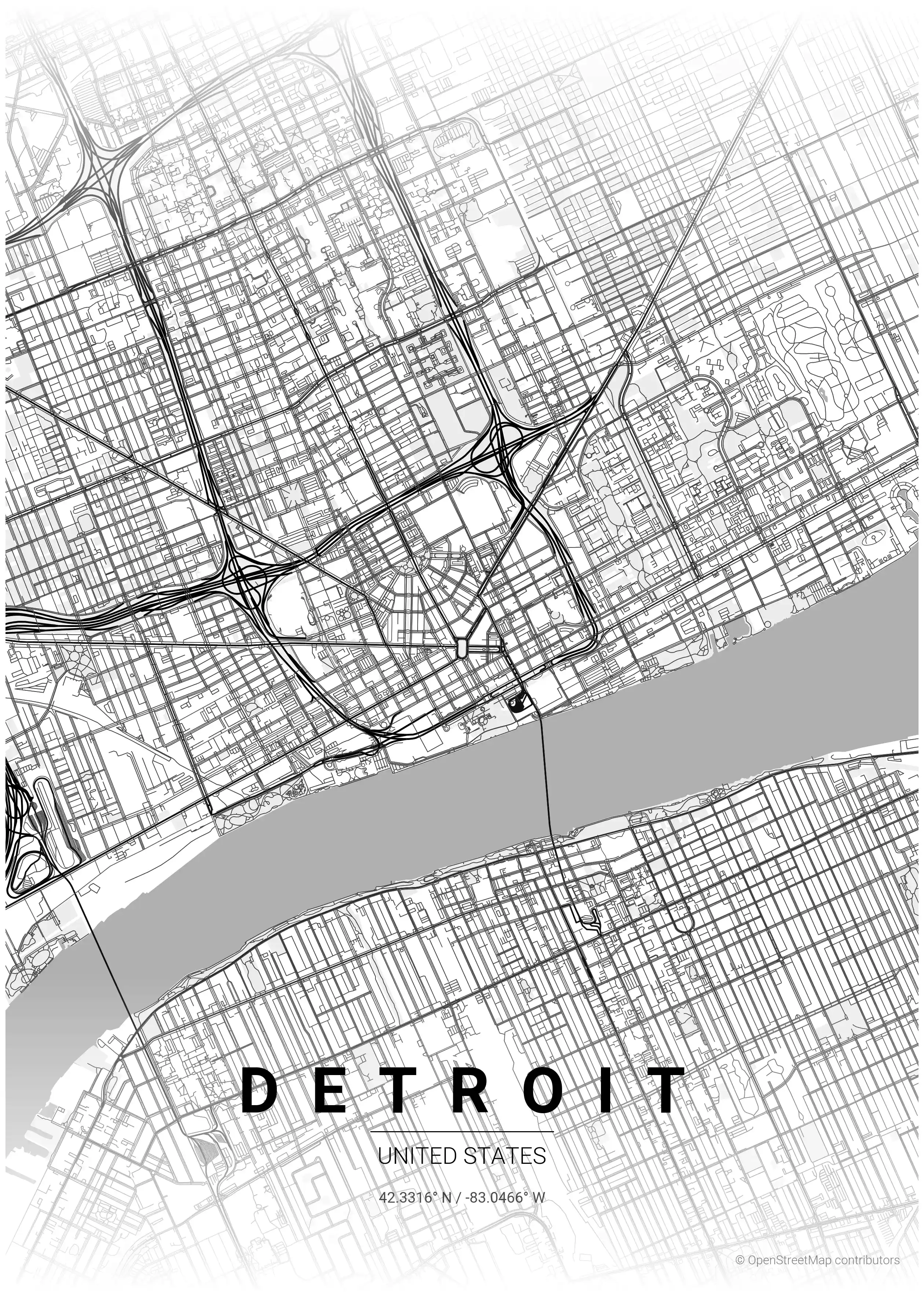
Detroit Map Poster
Discover Detroit's charm with this minimalist street map poster, showcasing its iconic urban features. Perfect for modern interiors and urban art lovers!
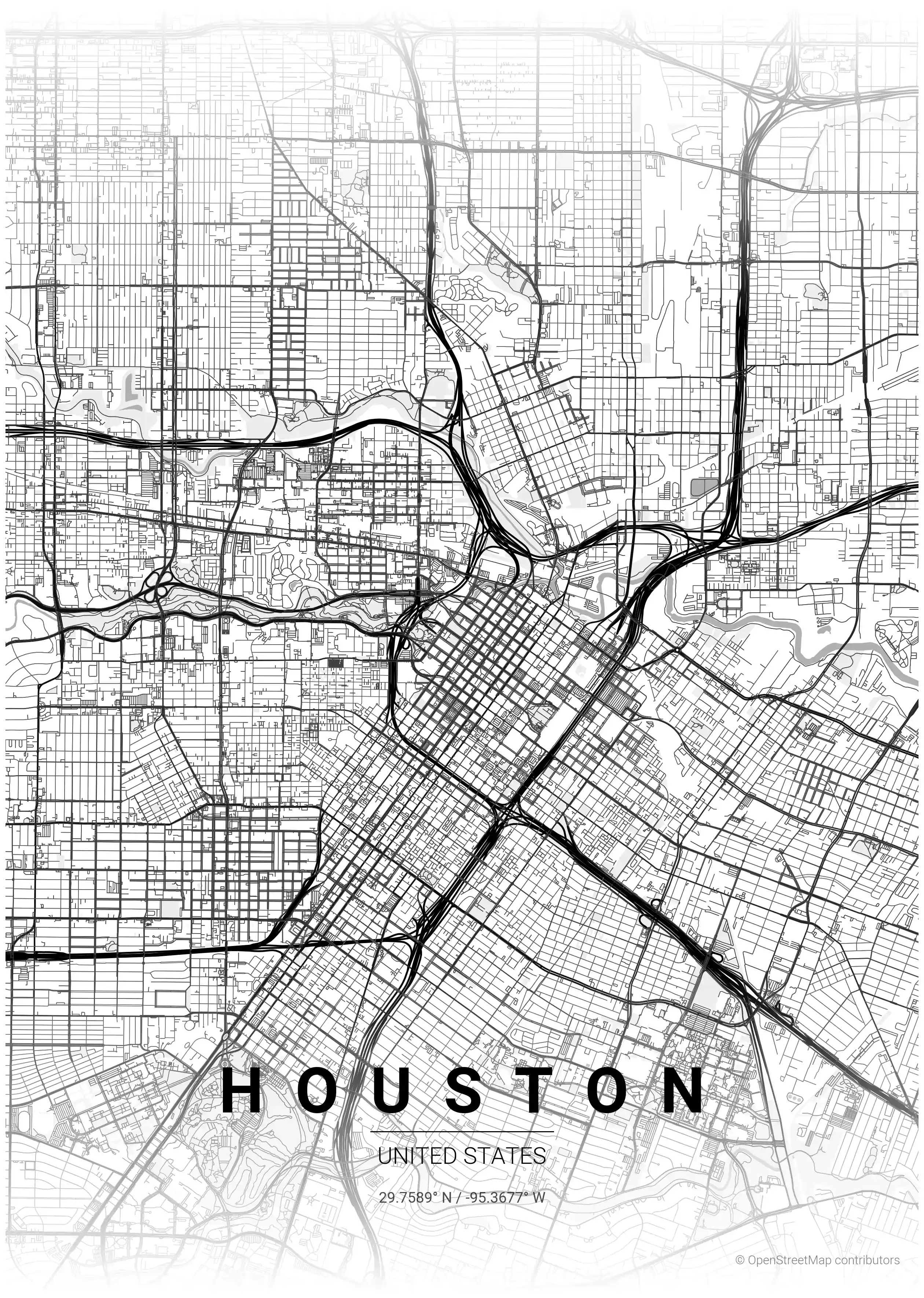
Houston Map Poster
Discover Houston's vibrant street network with our minimalist map poster, showcasing iconic landmarks. Perfect for modern interiors and urban art lovers!
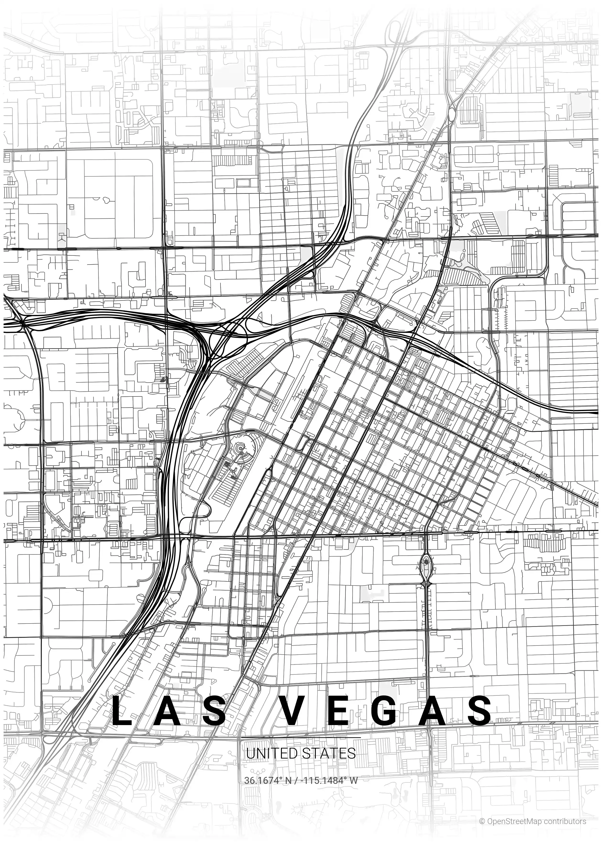
Las Vegas Map Poster
Discover the essence of Las Vegas with this minimalist street map poster, showcasing iconic landmarks in a sleek design. Perfect for modern interiors and urban art lovers!
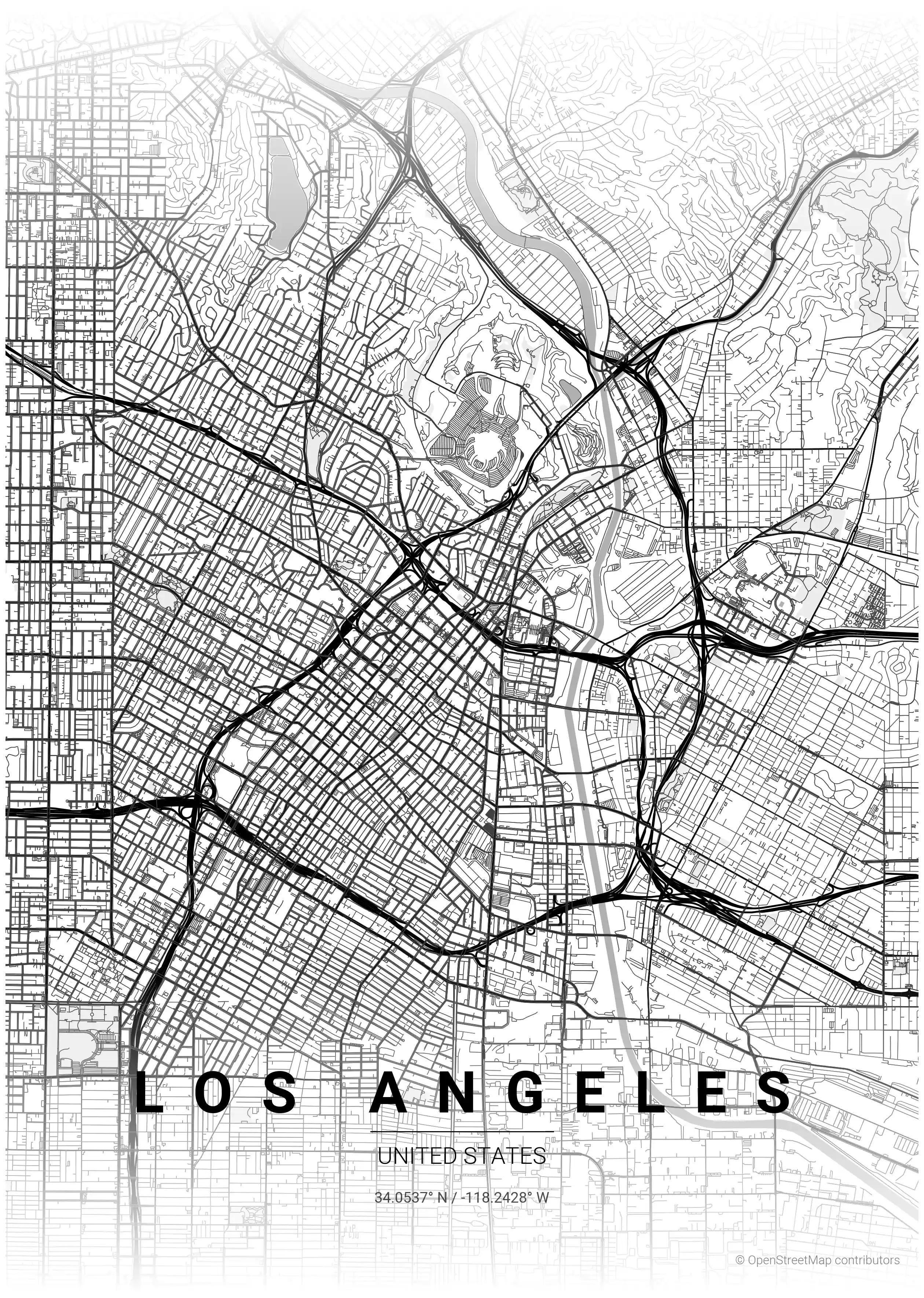
Los Angeles Map Poster
Discover the beauty of Los Angeles with our minimalist street map poster, showcasing iconic landmarks and the intricate urban network—perfect for modern interiors and urban art lovers.
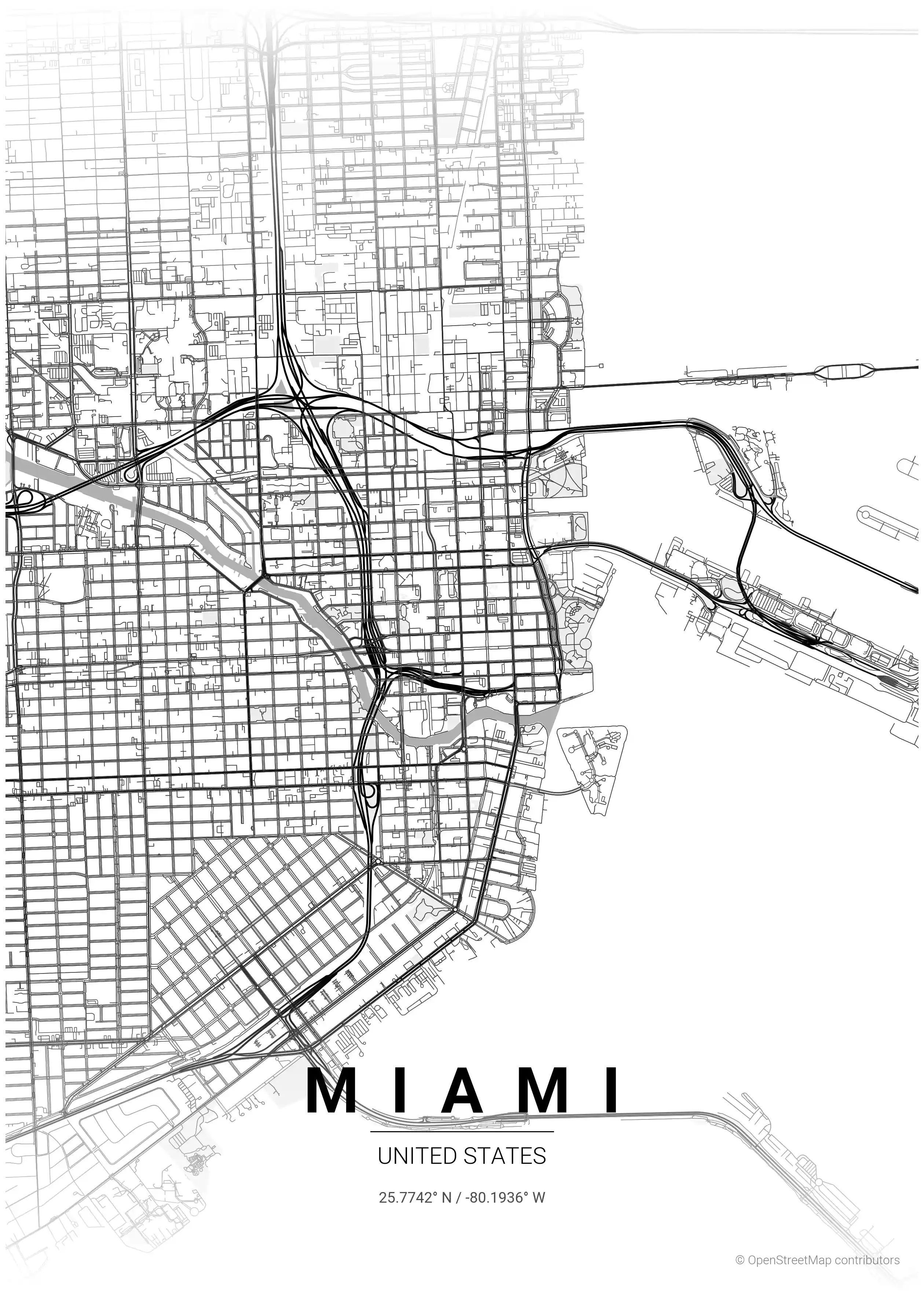
Miami Map Poster
Discover Miami's vibrant essence with our minimalist street map poster, showcasing its iconic landmarks and dynamic street network—perfect for modern interiors and urban art lovers.
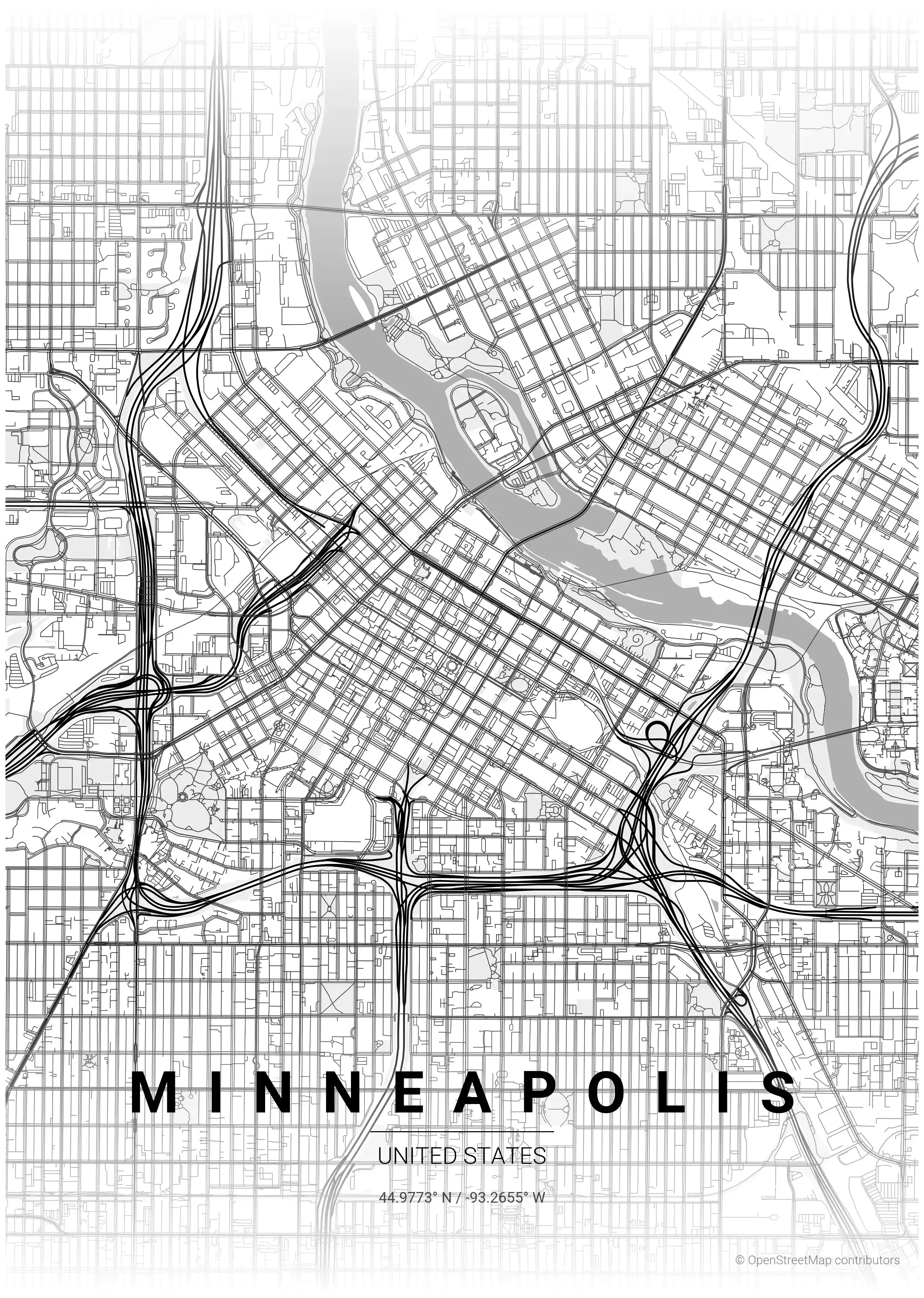
Minneapolis Map Poster
Discover the minimalist street map of Minneapolis, showcasing its iconic landmarks and urban charm. Perfect for modern interiors and urban art lovers!