Philadelphia Street Map Poster
Free printable United States city map & outline — contrast zones theme
Free high-resolution downloads. Print anywhere you like.
Digital Download
Free
High-resolution digital file
What You Get
- High-resolution WebP file
- Optimized for any print size
- Multiple artistic themes
- Free for personal use
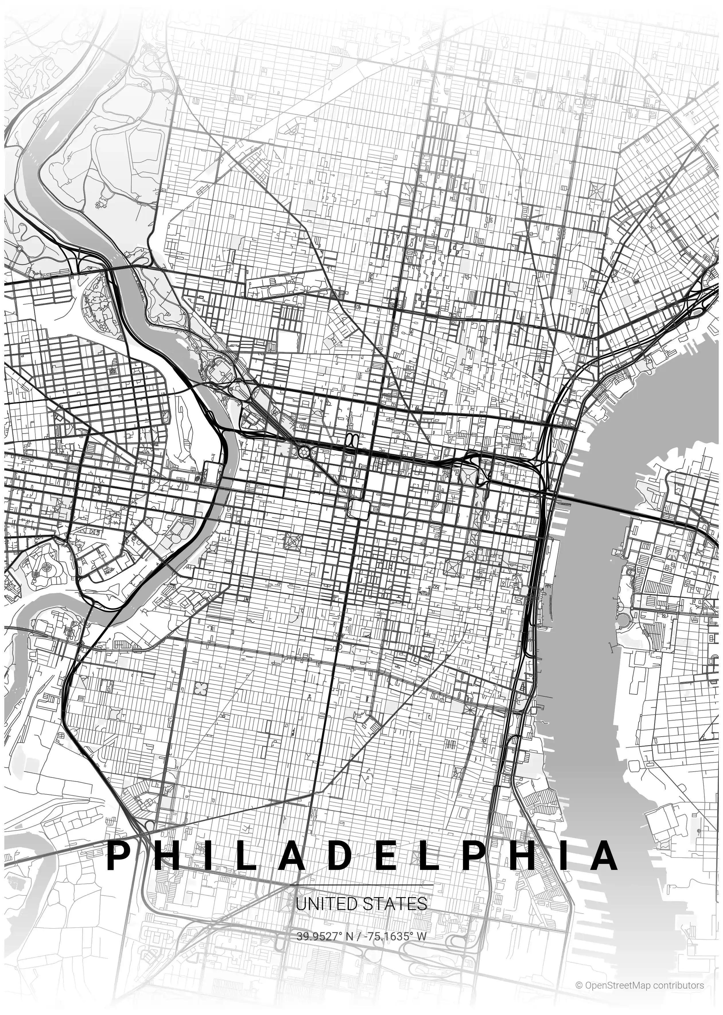
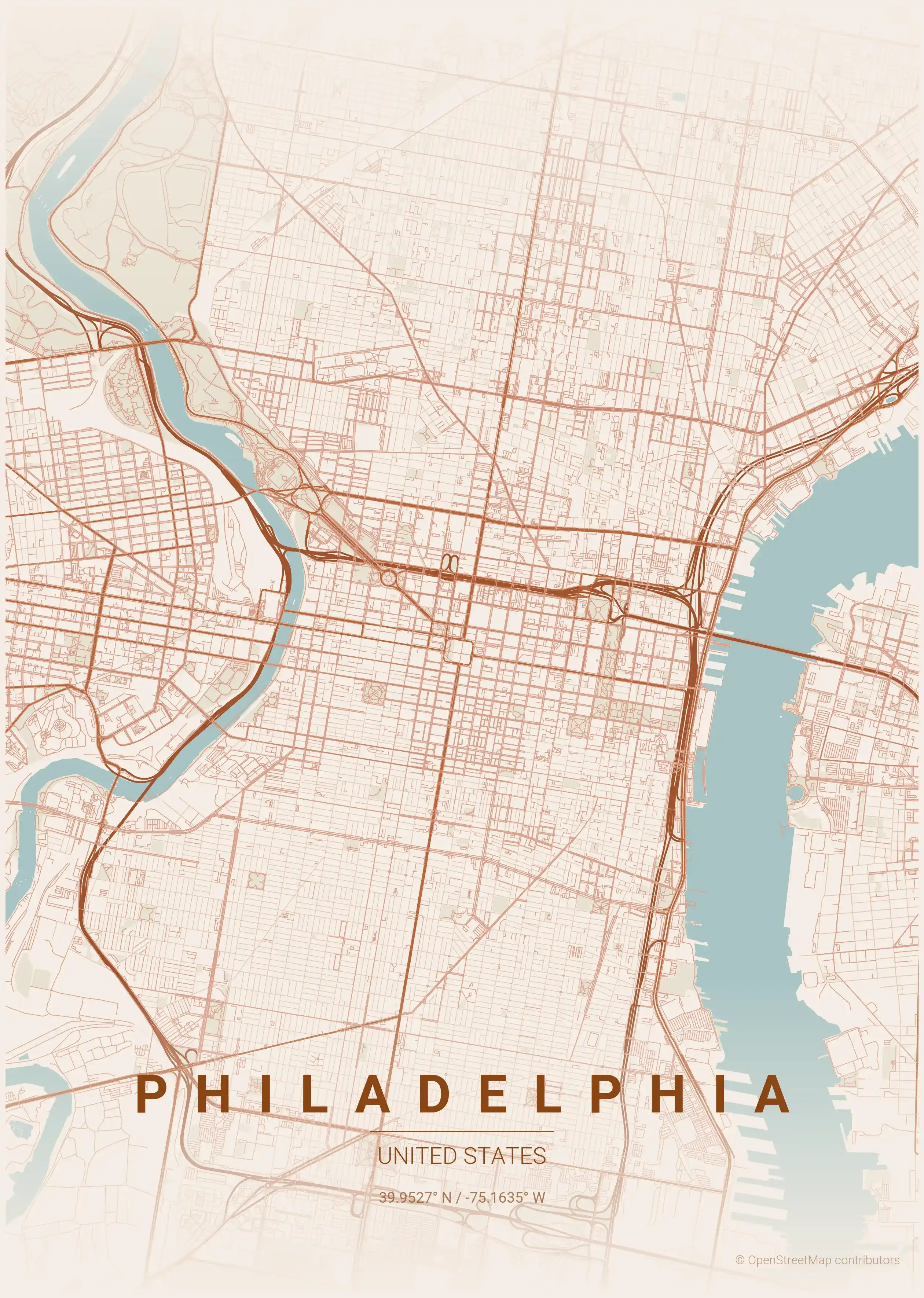
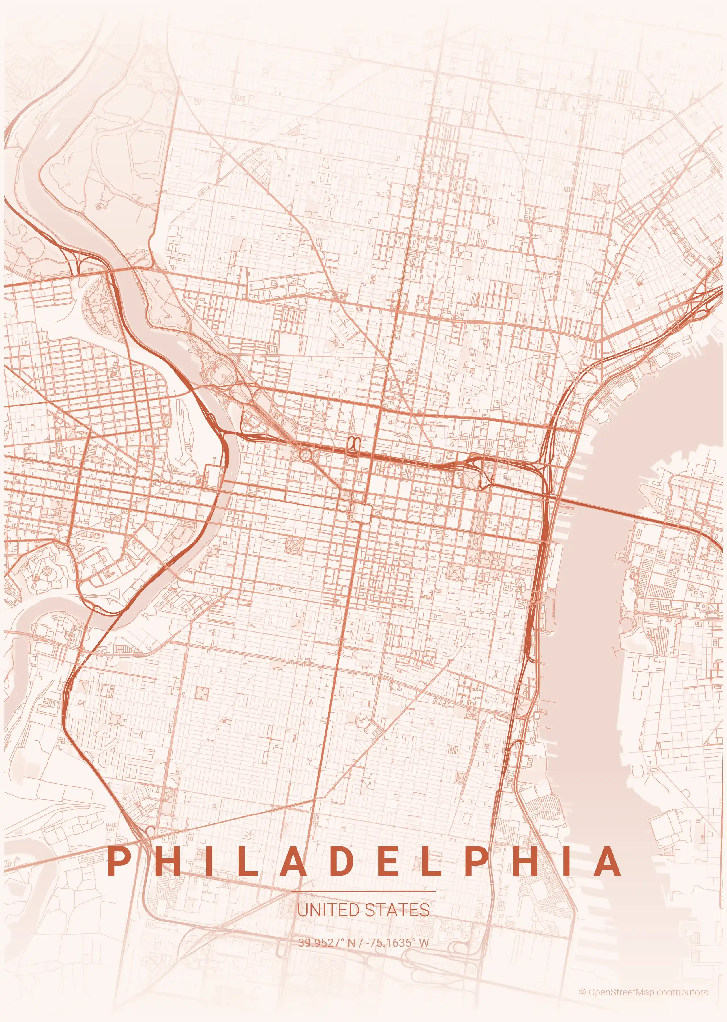
Free Printable Philadelphia Street Map
This is a detailed, minimalist street map of Philadelphia, covering the historic Old City in United States, with landmarks such as the Delaware River, the Schuylkill River, Rittenhouse Square. Download it free as a high-resolution, print-ready file — equally at home as framed wall art or a clean reference street map and city outline of Philadelphia.
About the Philadelphia Map Poster
Philadelphia gave America its first great planned grid, and this printable city map shows William Penn’s 1682 design at its heart: an orderly rectangle laid between the Delaware and Schuylkill Rivers, with five public squares anchoring the corners and centre — Rittenhouse, Washington, Franklin, Logan and the city’s hub at City Hall. This street map traces that founding plan along with the cobbled colonial blocks of Old City near Independence Hall, and the grand diagonal of the Benjamin Franklin Parkway cutting from City Hall toward the art museum.
The contrast between Penn’s tidy original grid and the later diagonal parkway gives a street map of Philadelphia a clear, historic structure that reads beautifully as wall art. The minimalist line style keeps the two rivers and the grid crisp and graphic.
It makes a meaningful print for a Philadelphian or any lover of early American history. Discover the rest of our United States city maps, or hang it beside the Washington, D.C. map poster for two cities central to the nation’s founding. Every Philadelphia city map is a free, high-resolution, printable download.
How to Print Your Philadelphia Map
Download the high-resolution file and print it at home, through an online print service (Printful, Printify, Shutterfly, Vistaprint), or at a local print shop. The Philadelphia street map prints crisp at sizes up to roughly A1 (24×36 in / 60×90 cm).
- · Popular frame sizes: A3, A2, 18×24 in, 50×70 cm
- · Portrait 3:4 aspect ratio — fits standard poster frames
- · No watermark · no attribution required for personal use
File Information
What's Included
- High-resolution file optimized for professional printing
- Instant download – no registration or account needed
- Print as many times as you like for personal use
- Clean design with no watermarks or attribution required
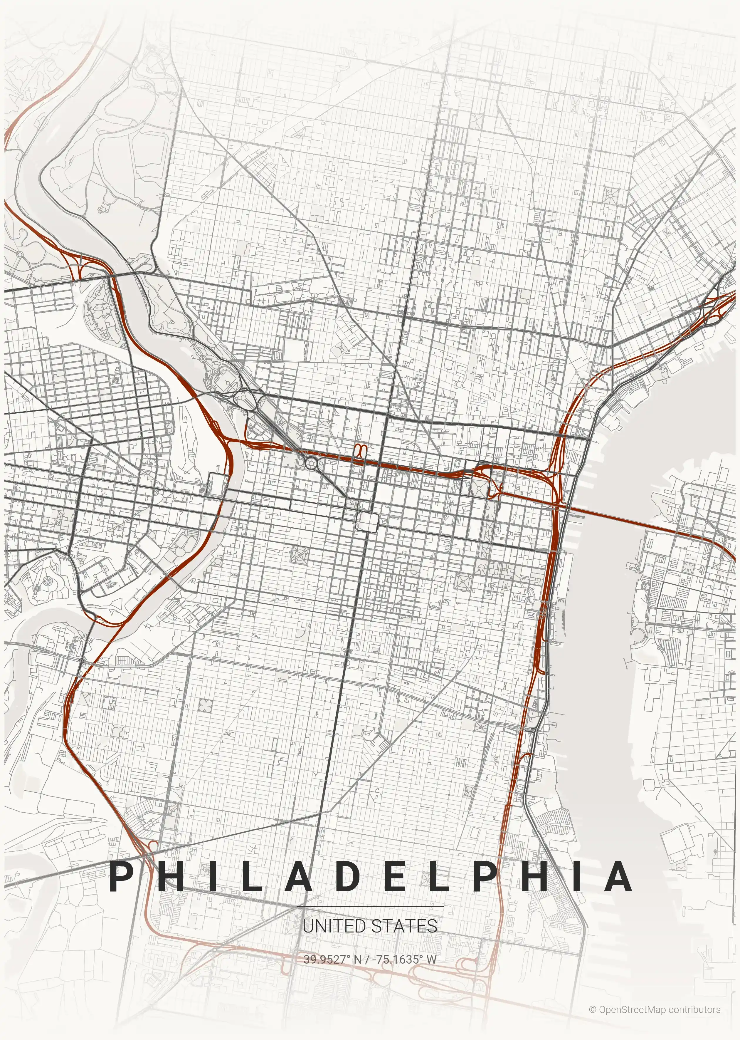
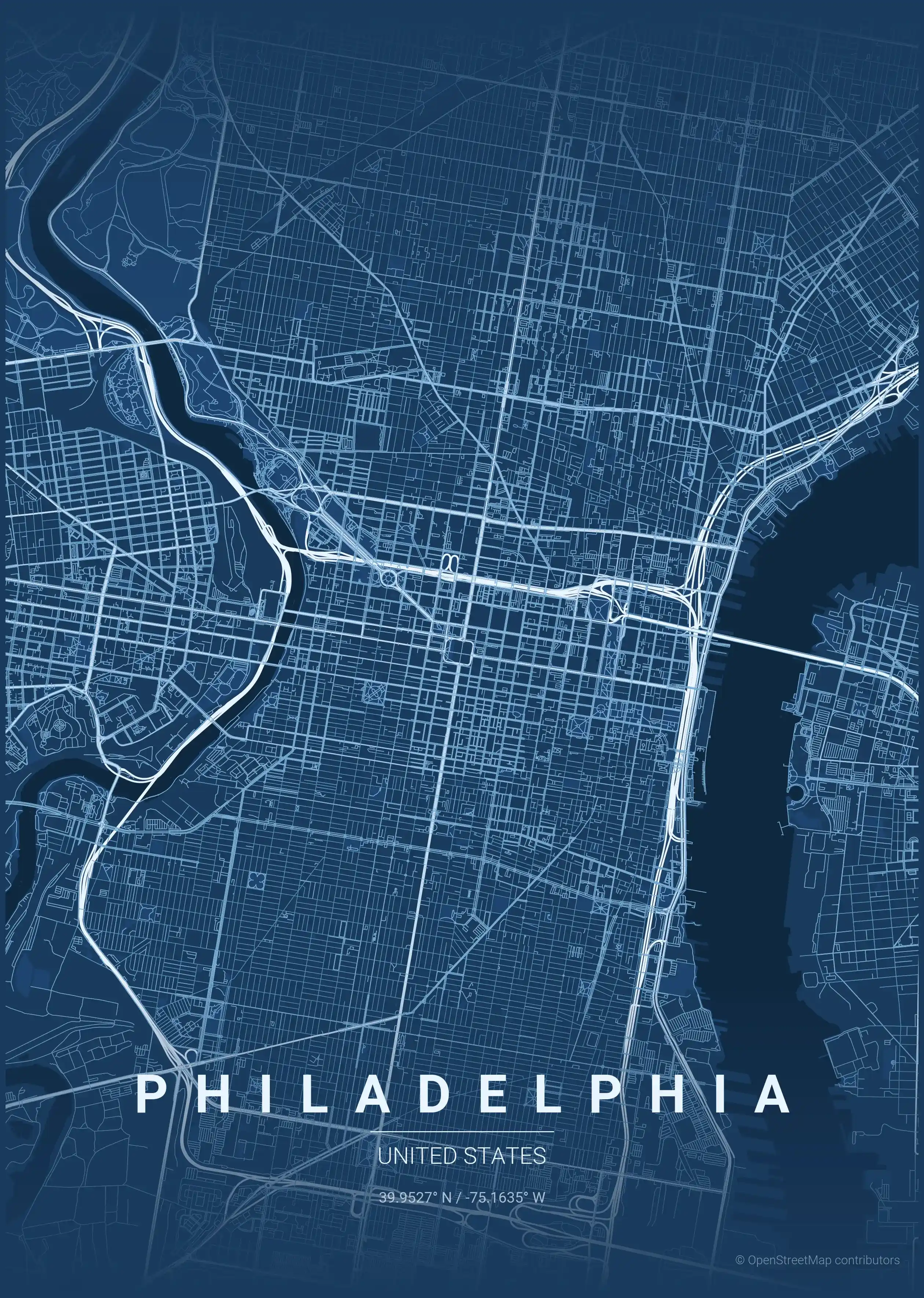
Theme Collection
Explore all available aesthetic variations
contrast zones
Click to preview
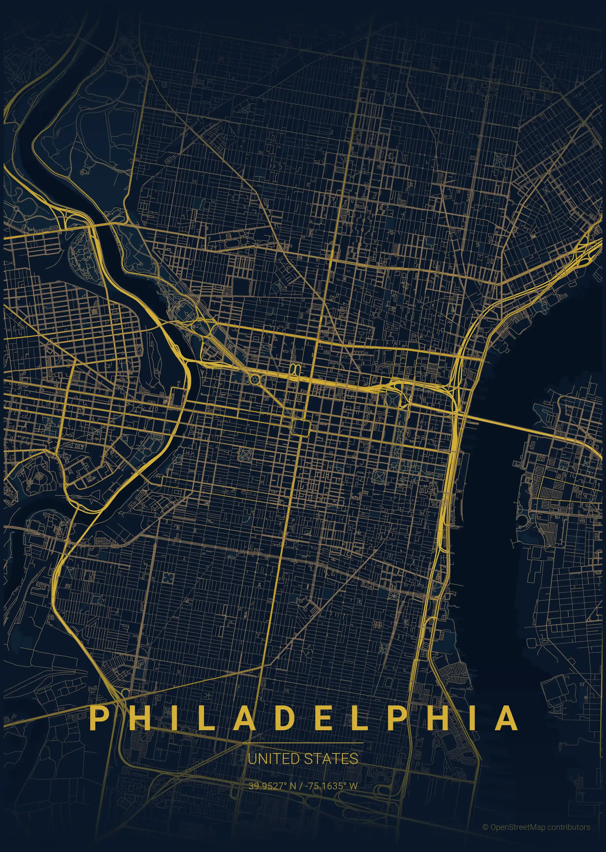
midnight blue
Click to preview
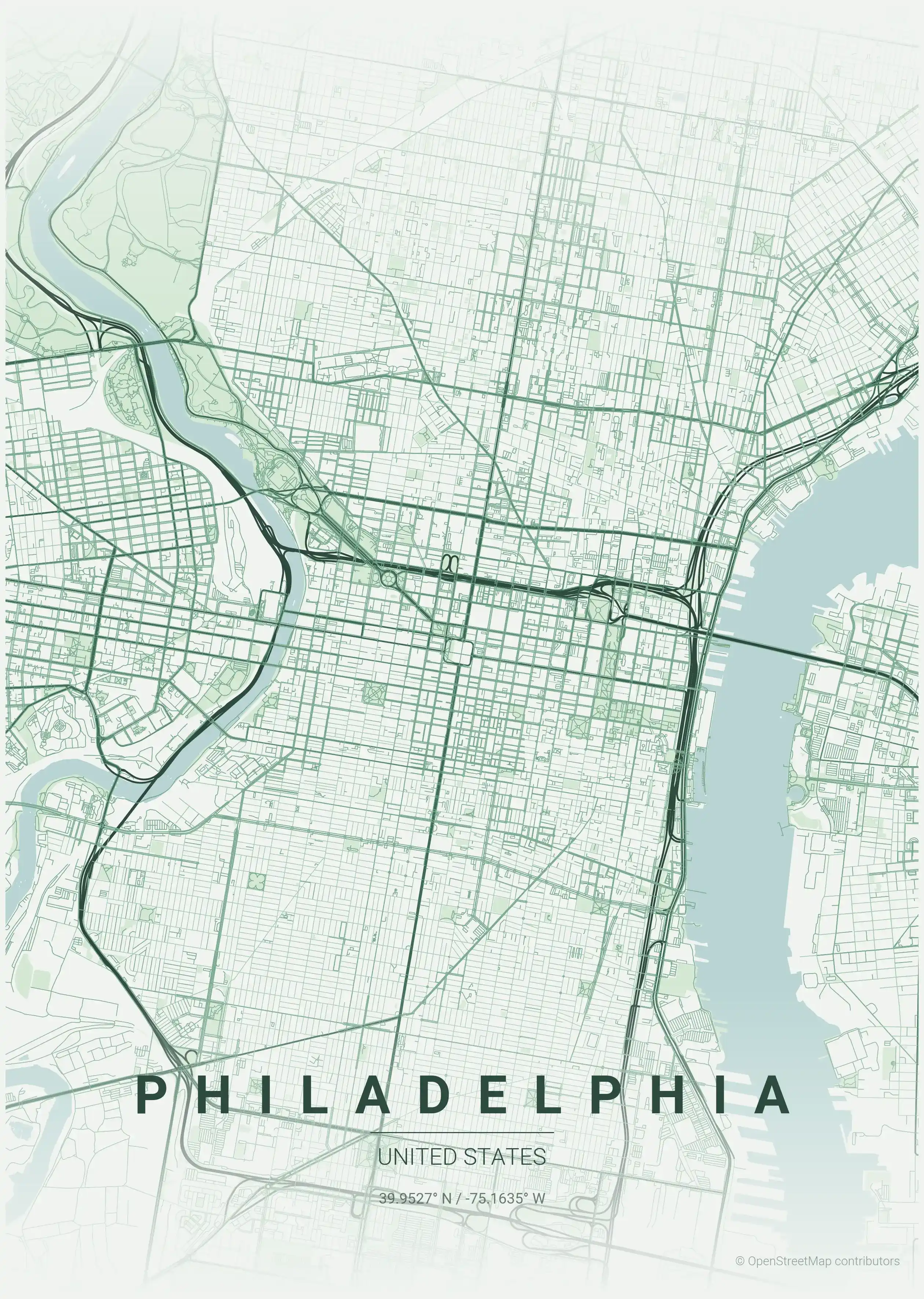
forest
Click to preview
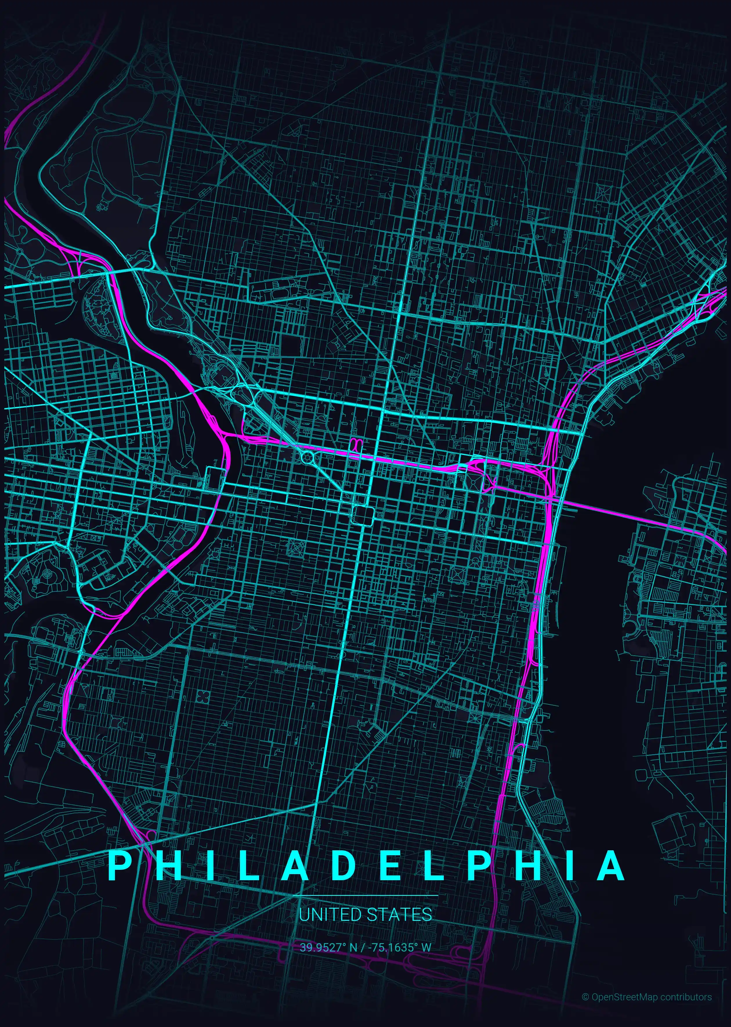
neon cyberpunk
Click to preview
terracotta
Click to preview
japanese ink
Click to preview
blueprint
Click to preview
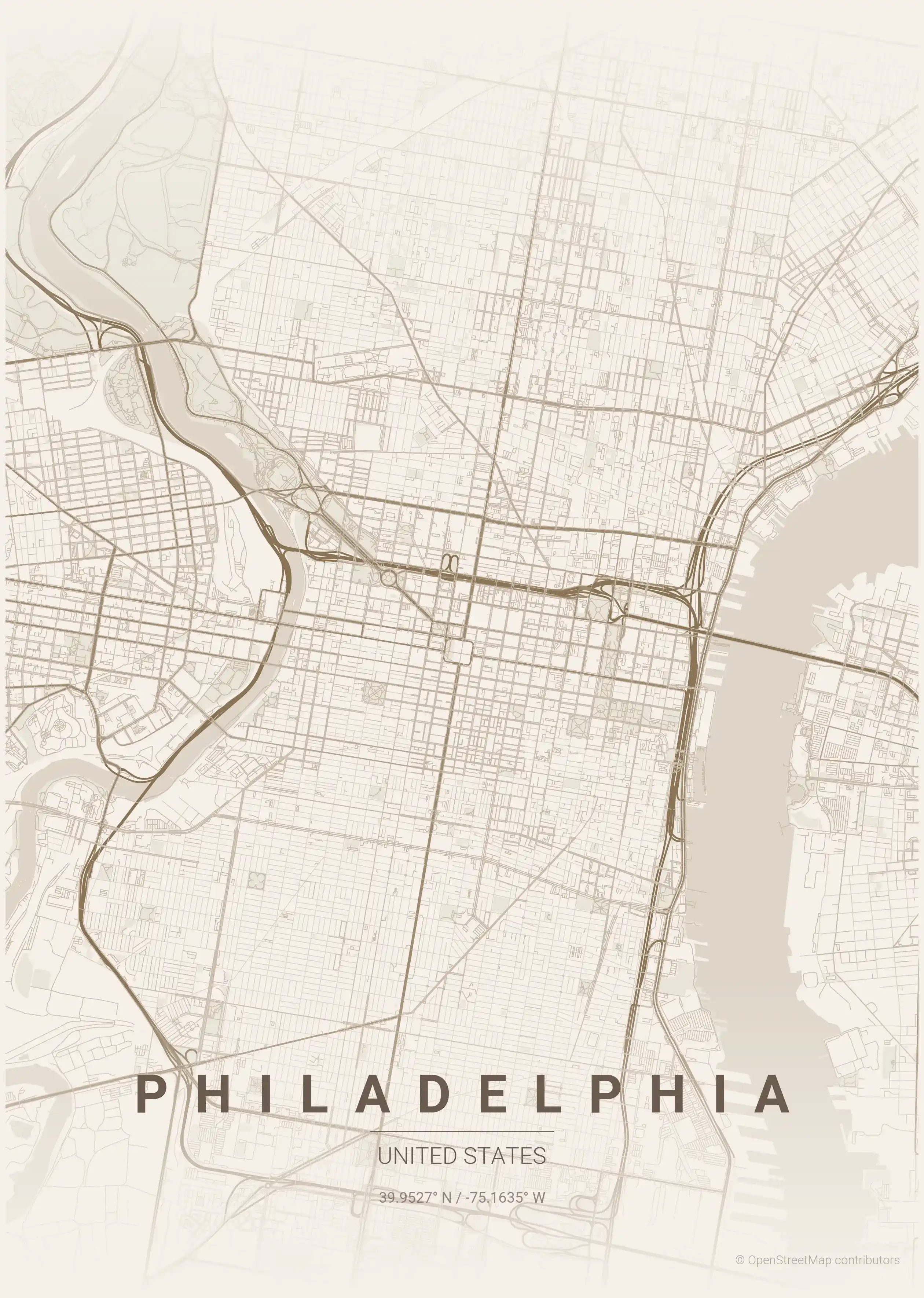
warm beige
Click to preview
sunset
Click to preview
Philadelphia Map — FAQ
Common questions about the free Philadelphia street map poster
Is the Philadelphia map poster free to download?
Yes. Every Philadelphia, United States street map poster is 100% free to download for personal use — no signup, no email, and no watermark. Download as many themes as you like.
What does the Philadelphia map show?
It's a minimalist street map of Philadelphia — a clean outline of the city's real street network, including the historic Old City and landmarks such as the Delaware River, the Schuylkill River, Rittenhouse Square. It works as both decorative wall art and a stylised reference map of Philadelphia.
What size can I print the Philadelphia map at?
The file is high-resolution and prints crisp at sizes up to roughly A1 (24×36 in / 60×90 cm). Popular frame sizes are A3, A2, 18×24 in and 50×70 cm.
How many themes are available for Philadelphia?
Philadelphia is available in 9 artistic themes, including contrast zones, midnight blue, forest and more — same street layout, different colour palettes.
More Maps from United States
Discover other cities in our collection
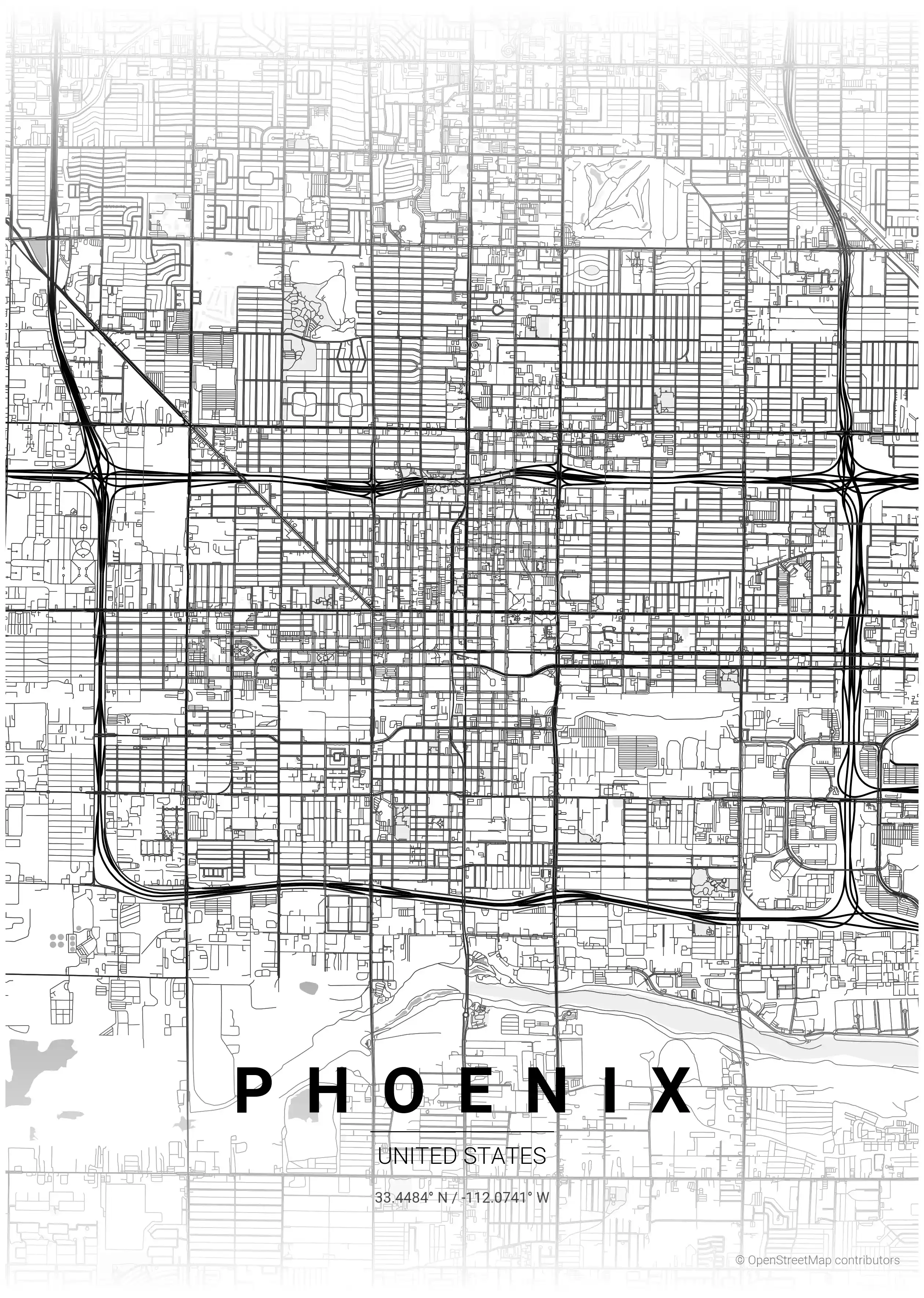
Phoenix Map Poster
Discover Phoenix's vibrant spirit with our minimalist street map poster, showcasing its iconic landmarks and intricate network. Perfect for modern interiors and urban art lovers!
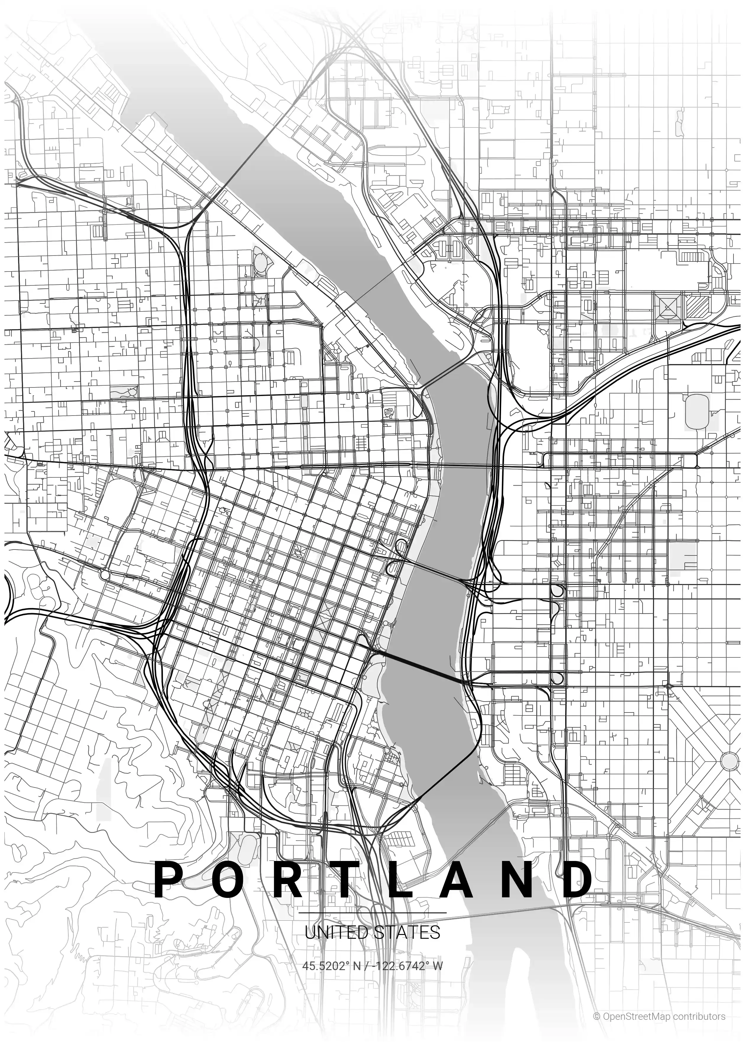
Portland Map Poster
Discover Portland's charm with this minimalist street map poster, showcasing iconic landmarks and its unique urban network—perfect for modern interiors and art lovers!
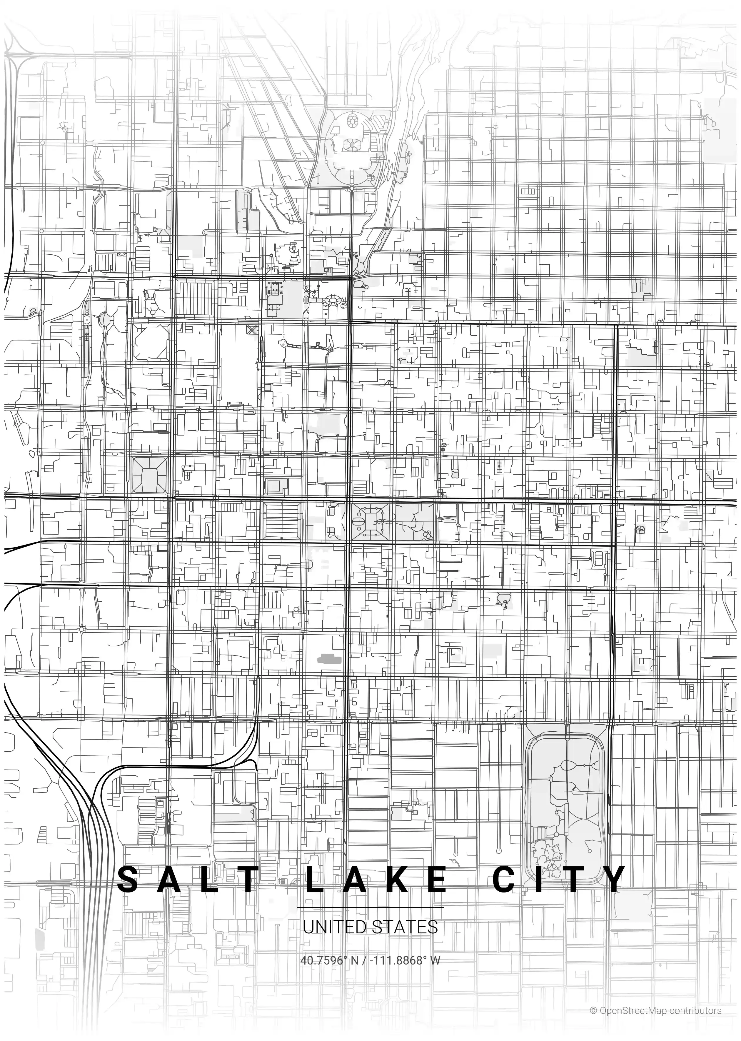
Salt Lake City Map Poster
Discover the stunning simplicity of Salt Lake City's minimalist street map poster, featuring iconic landmarks and a striking urban layout—perfect for modern interiors and art lovers.
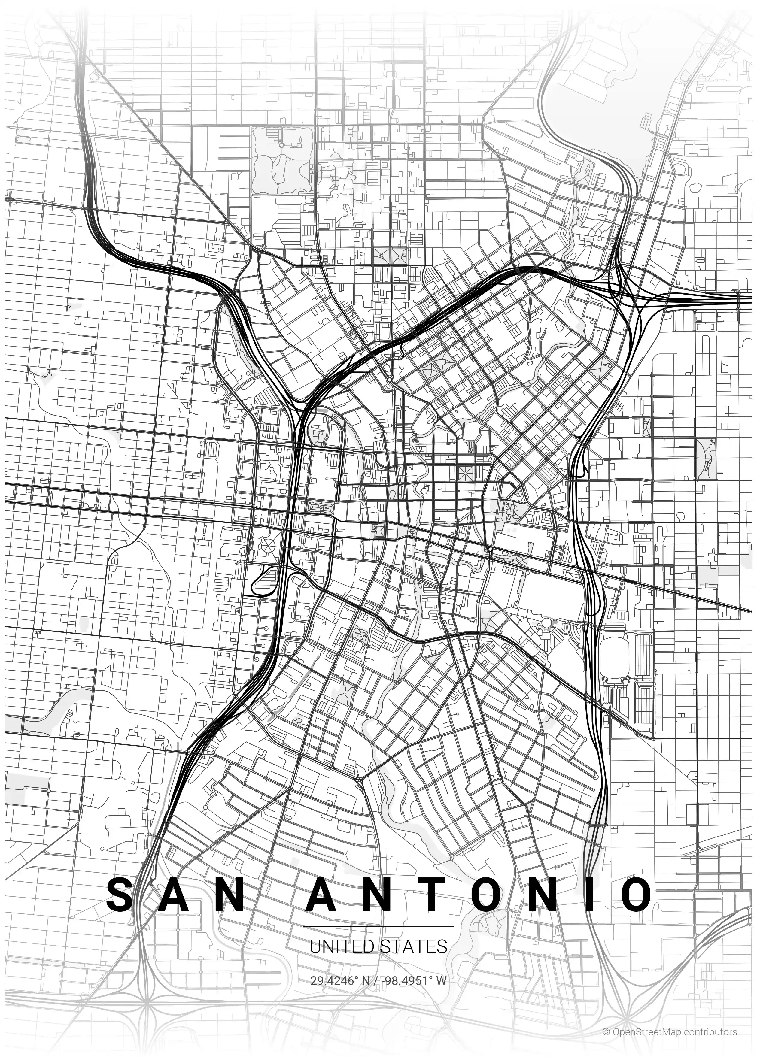
San Antonio Map Poster
Explore San Antonio's unique charm with this minimalist street map poster, showcasing iconic landmarks and a stunning network of streets—perfect for modern interiors and urban art lovers.
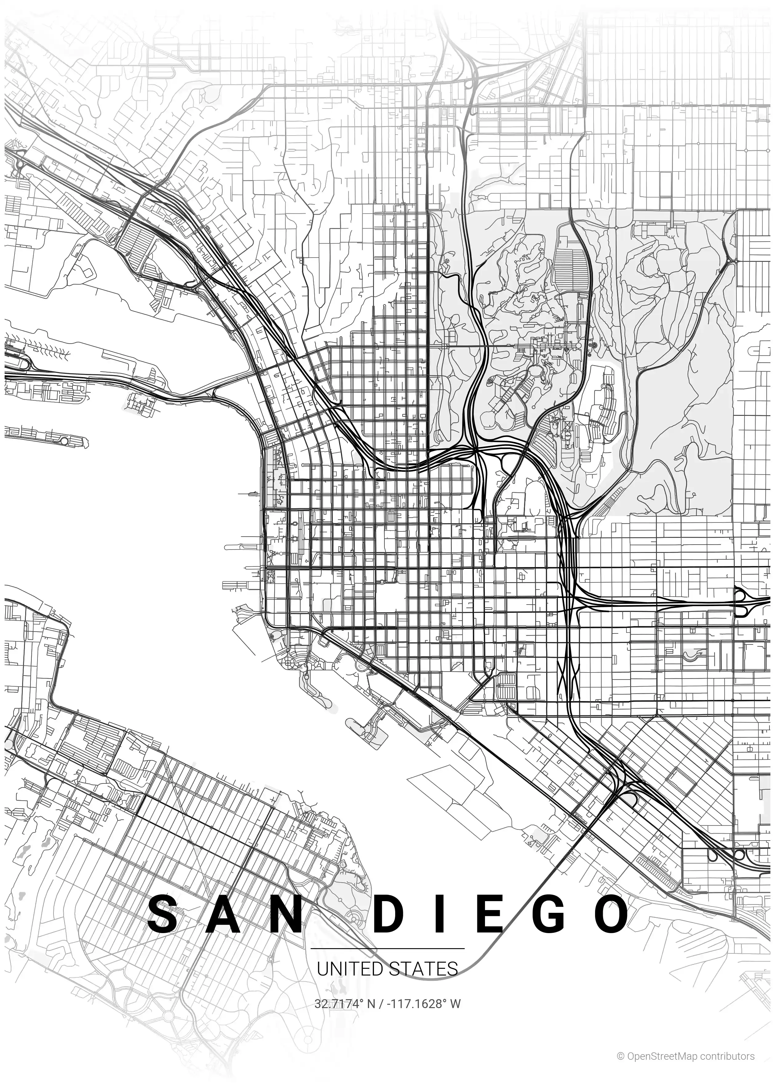
San Diego Map Poster
Discover San Diego's iconic skyline and coastal charm with our minimalist street map poster. Perfect for modern interiors, it’s a stunning piece for urban art lovers.
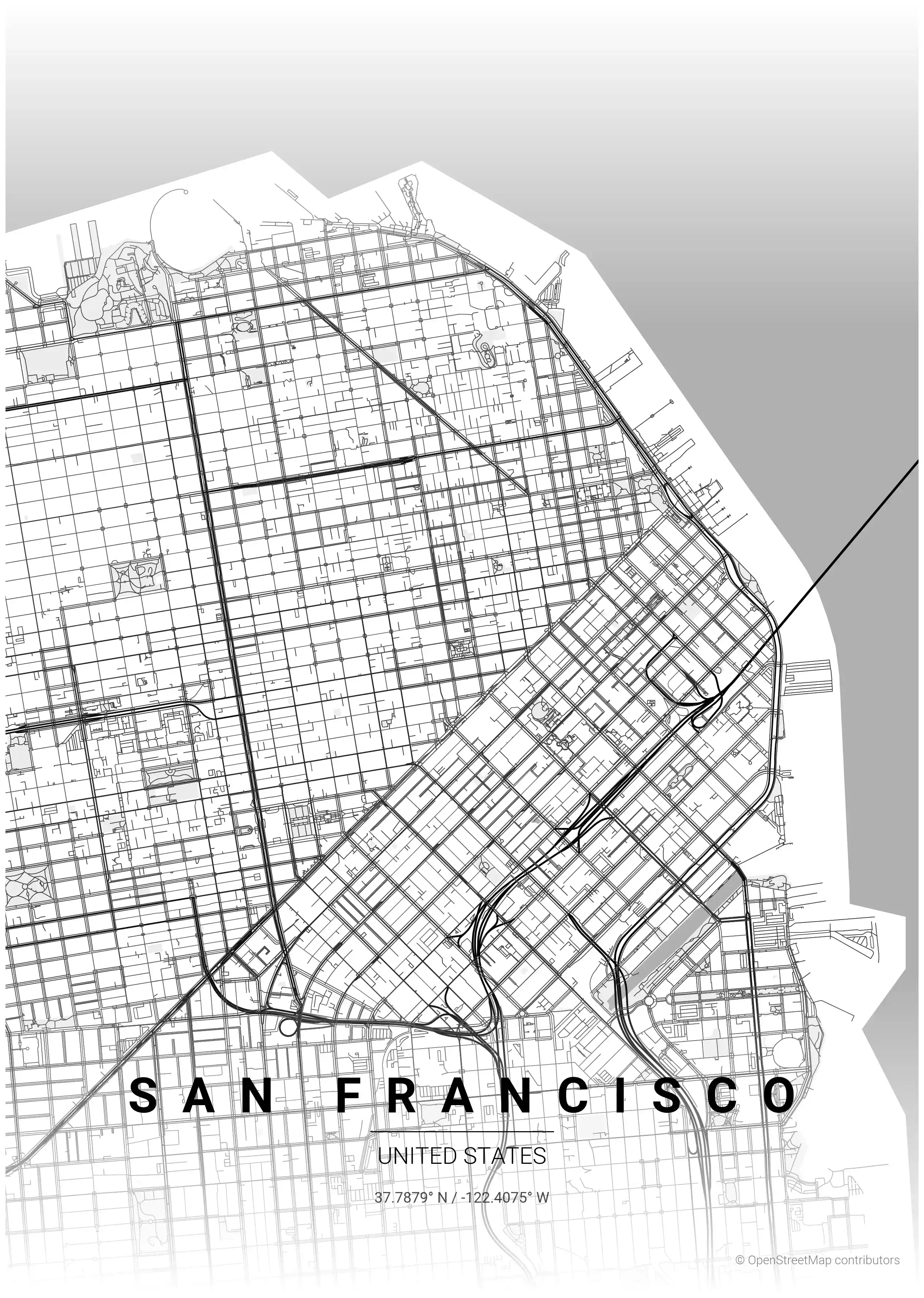
San Francisco Map Poster
Discover the elegance of San Francisco with our minimalist street map poster, showcasing iconic landmarks and a stunning urban network. Perfect for modern interiors and urban art lovers!