Andorra City Map
Free street map posters of 1 city
A minimalist map of Andorra and its cities. Explore free, printable street map posters of Andorra la Vella — each city mapped in 9 artistic themes and available as a high-resolution download.
Cities of Andorra on the map: Andorra la Vella.
About Andorra City Maps
Looking for a printable Andorra city map? This is the place. Andorra is a tiny Pyrenean microstate wedged between France and Spain, and its handful of valley towns produce some of the most distinctive street maps in Europe. Every poster here is a free download, rendered as a high-resolution minimalist street map ready to print at any size.
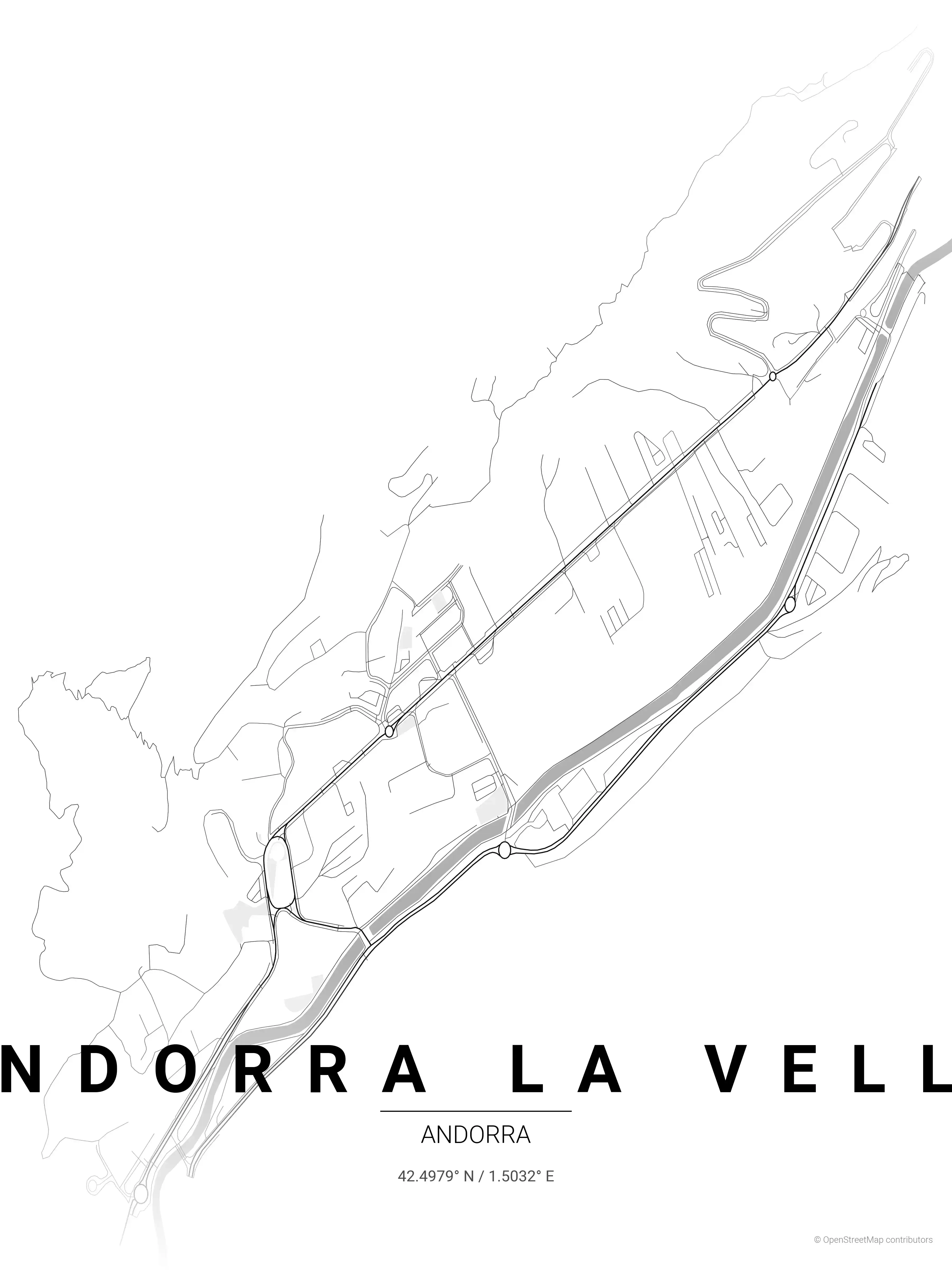
Browse our free Andorra city map collection, currently centred on Andorra la Vella, the capital and by far the largest settlement. Sitting at the confluence of the Valira river valleys, its streets twist along the steep terrain in a compact, organic pattern you simply don’t see in flatland grids.
Andorra’s urban character is shaped entirely by its mountains. Roads hug the riverbanks, switch back up the hillsides, and cluster around the medieval Barri Antic, the historic old quarter at the heart of the capital. A street map of Andorra la Vella reads almost like a topographic sketch — geography and town planning are inseparable here.
These maps are a favourite with travellers who discovered the country on a skiing trip or a Pyrenean road tour, as well as residents proud of their mountain republic. As wall art, the winding lines make for an unusually graphic, eye-catching print.
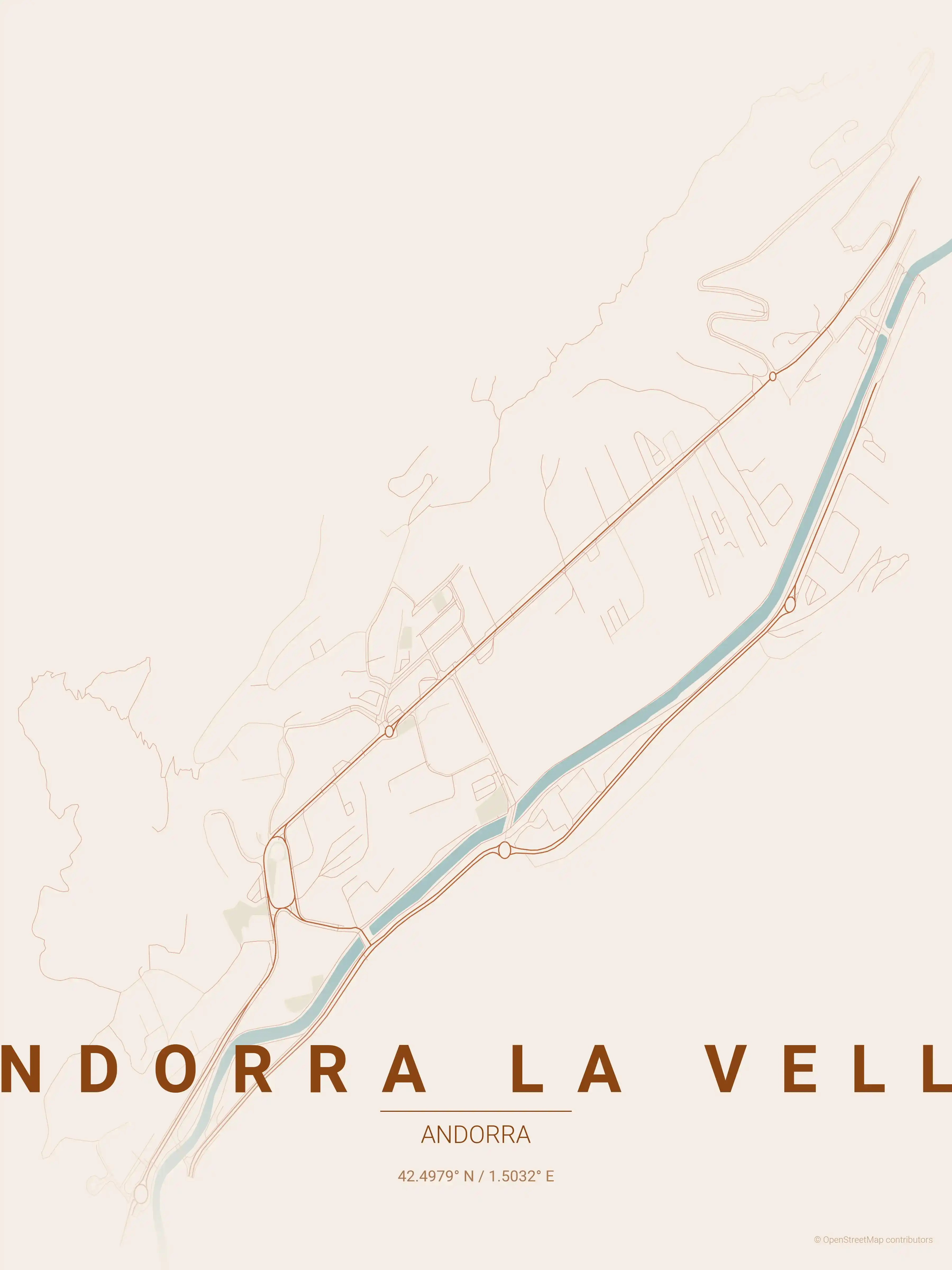
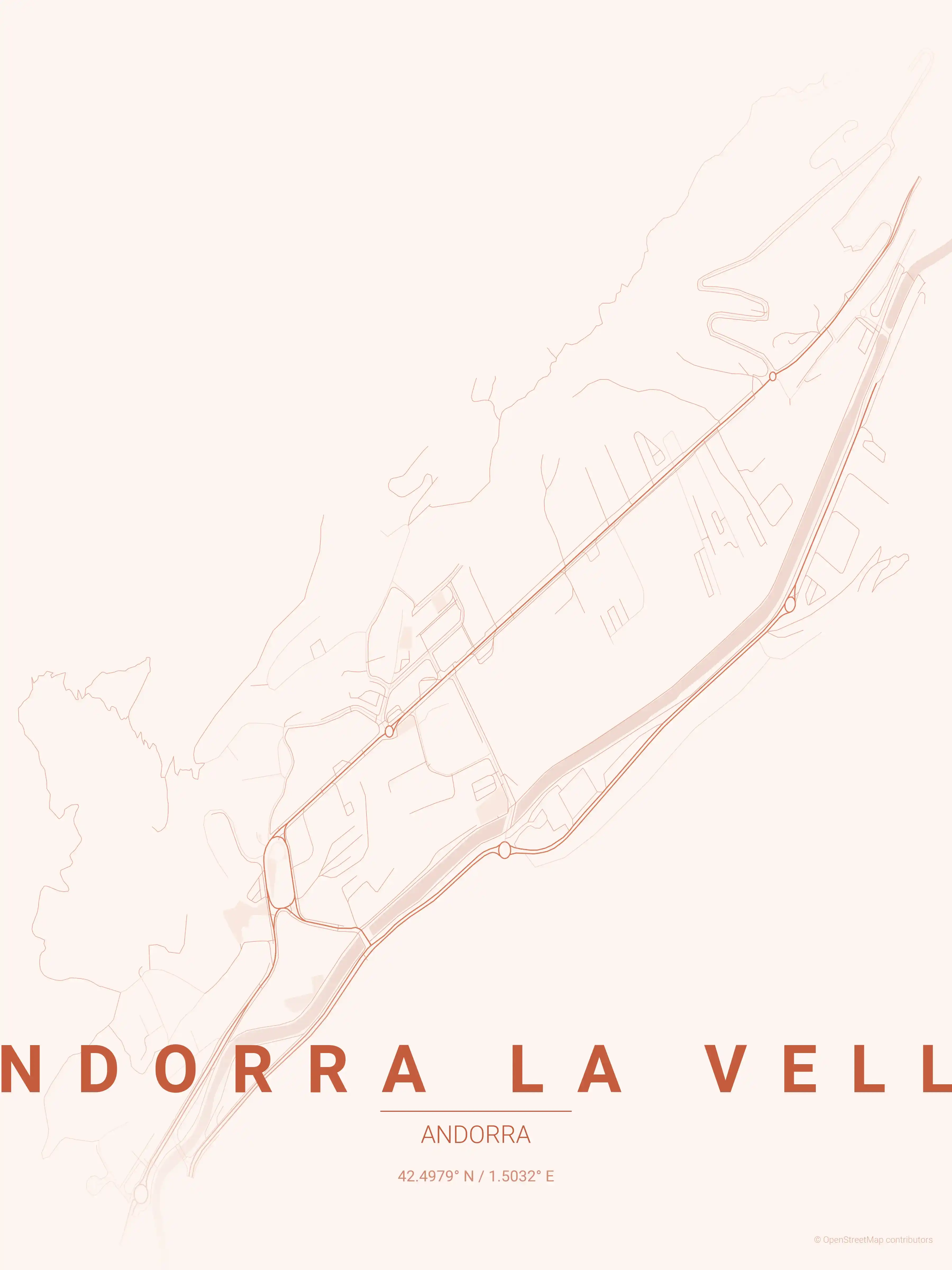
If you are mapping the wider region, explore neighbouring France city maps and Spain city maps too. Each Andorra city map is offered in nine hand-crafted themes — from warm sunset tones that echo the mountain light to cool midnight blue palettes — and every file is completely free to download.
More Europe City Maps
Explore More Cities
Discover map posters from cities across Europe in our complete collection.