Croatia City Map
Free street map posters of 2 cities
A minimalist map of Croatia and its cities. Explore free, printable street map posters of Split, Zagreb — each city mapped in 9 artistic themes and available as a high-resolution download.
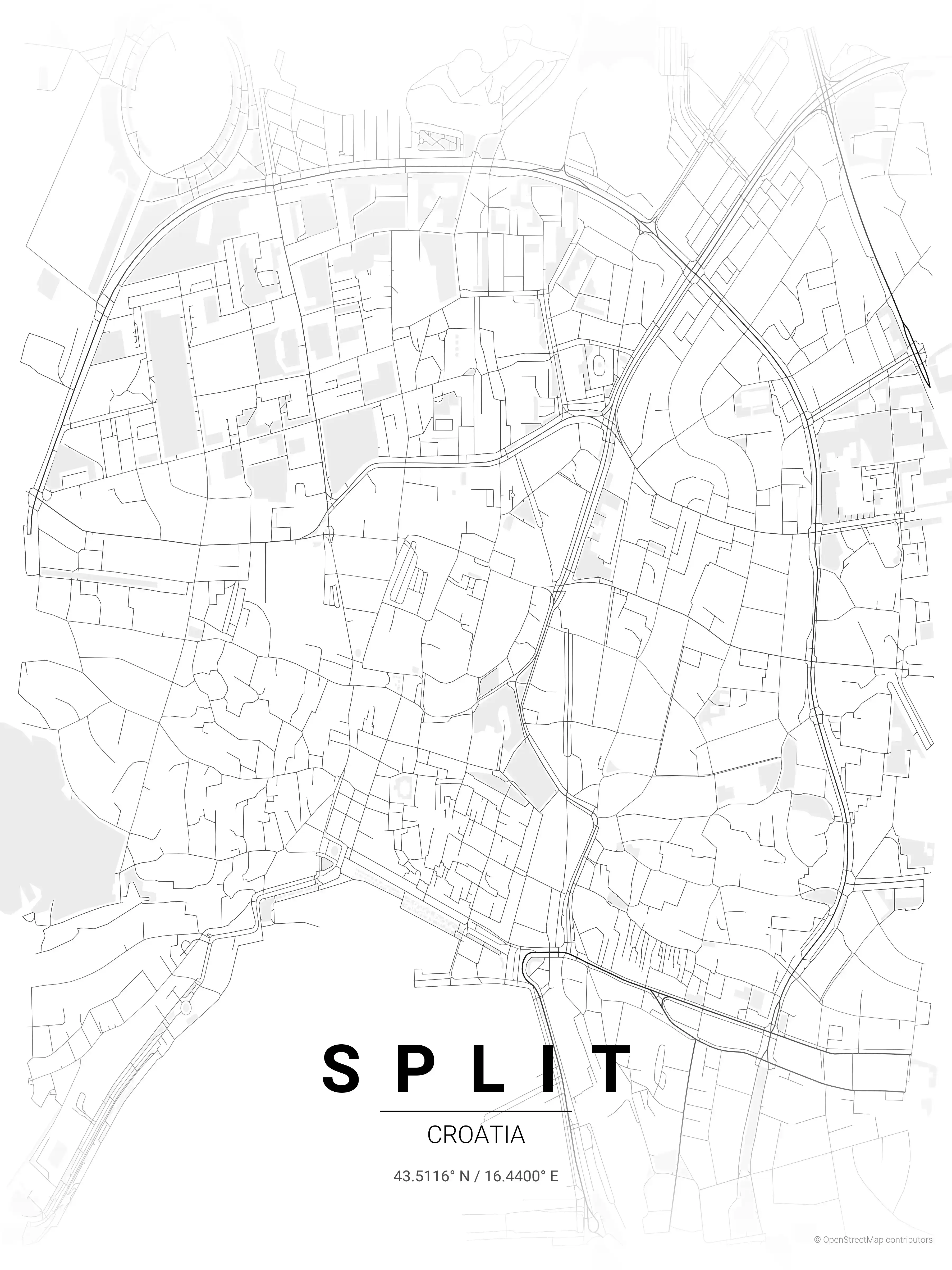
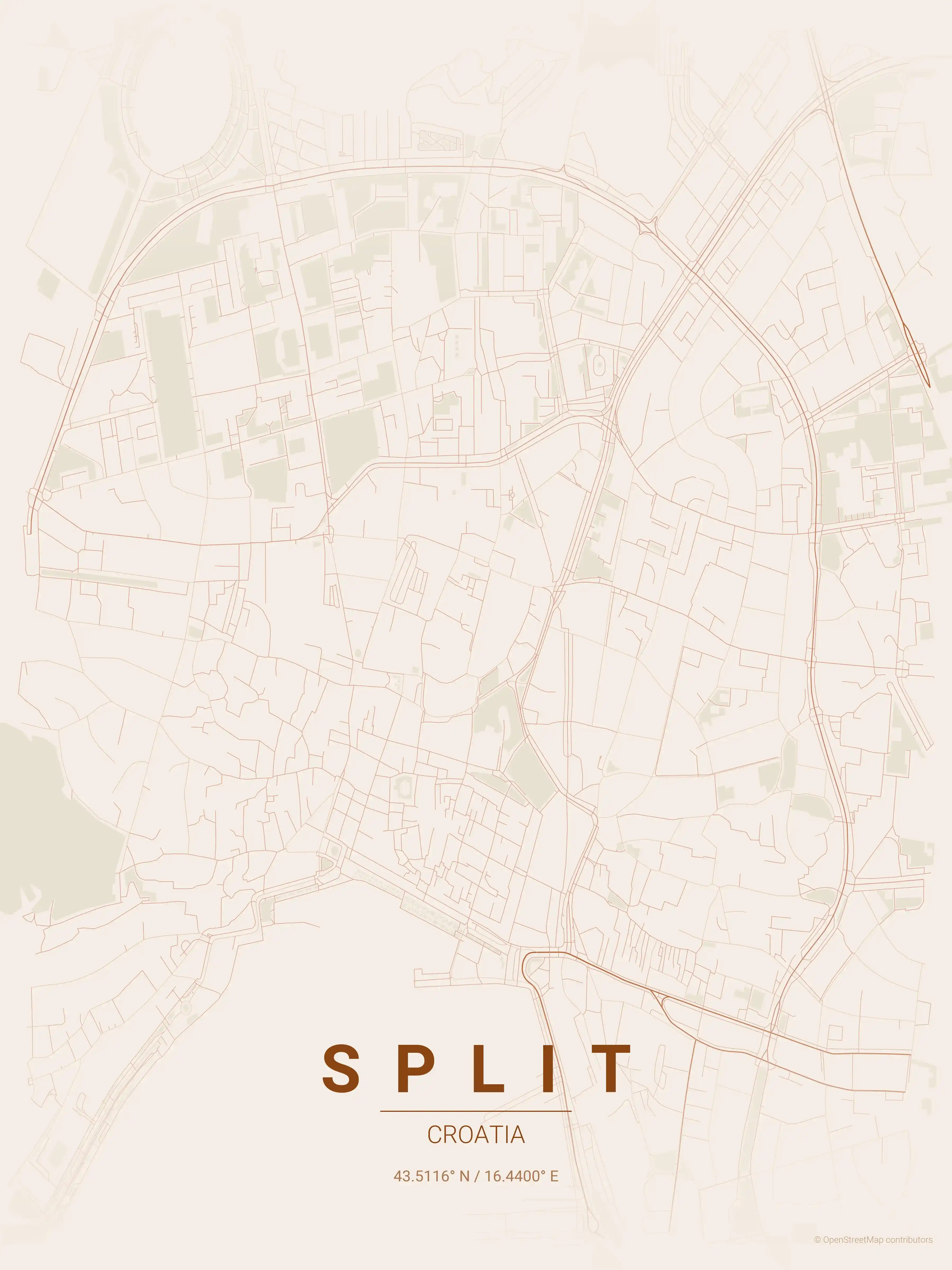
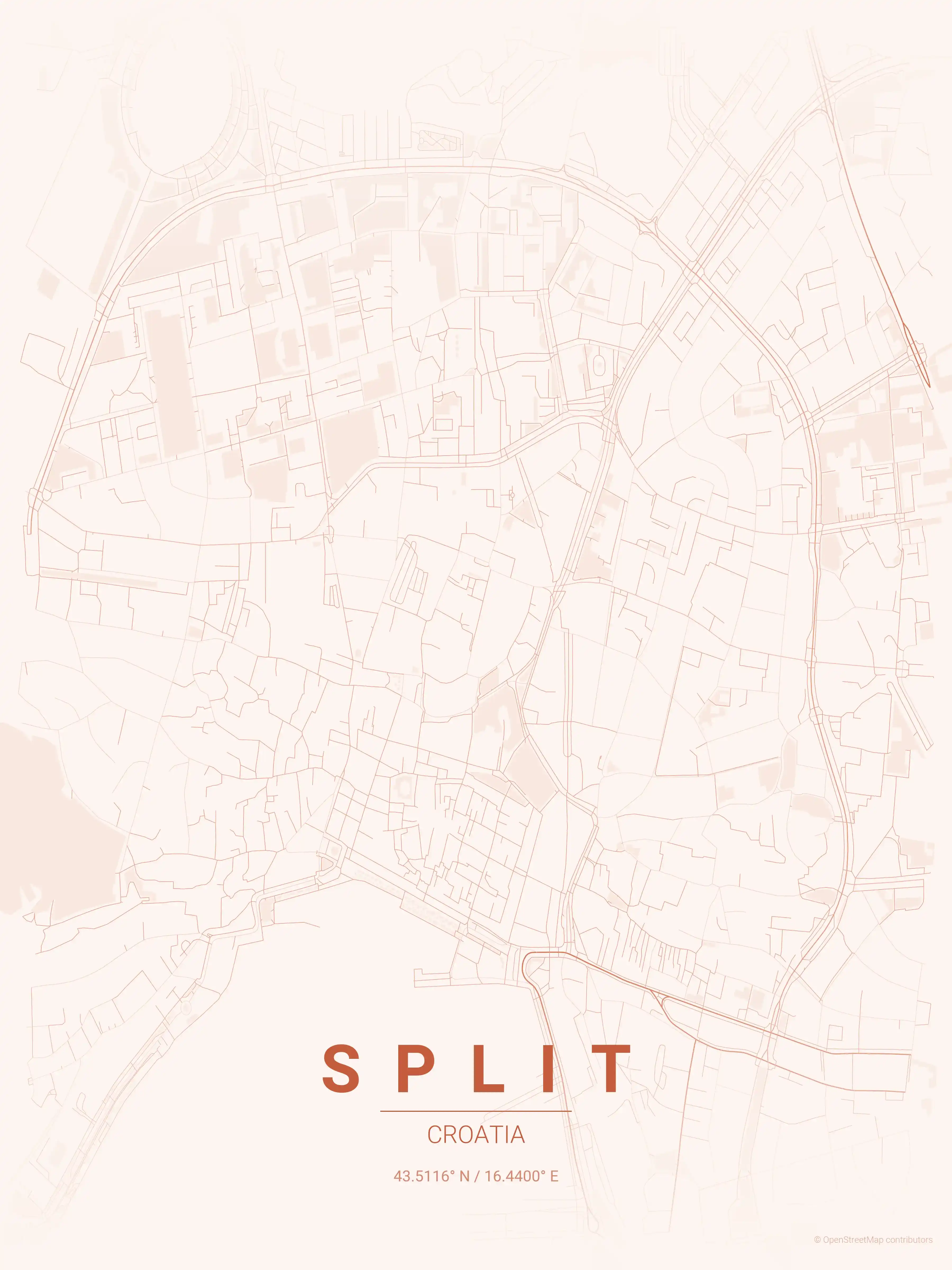
Split Map Poster
Discover Split, Croatia's urban charm with a minimalist street map poster, showcasing iconic landmarks. Perfect for urban art lovers and modern interiors.
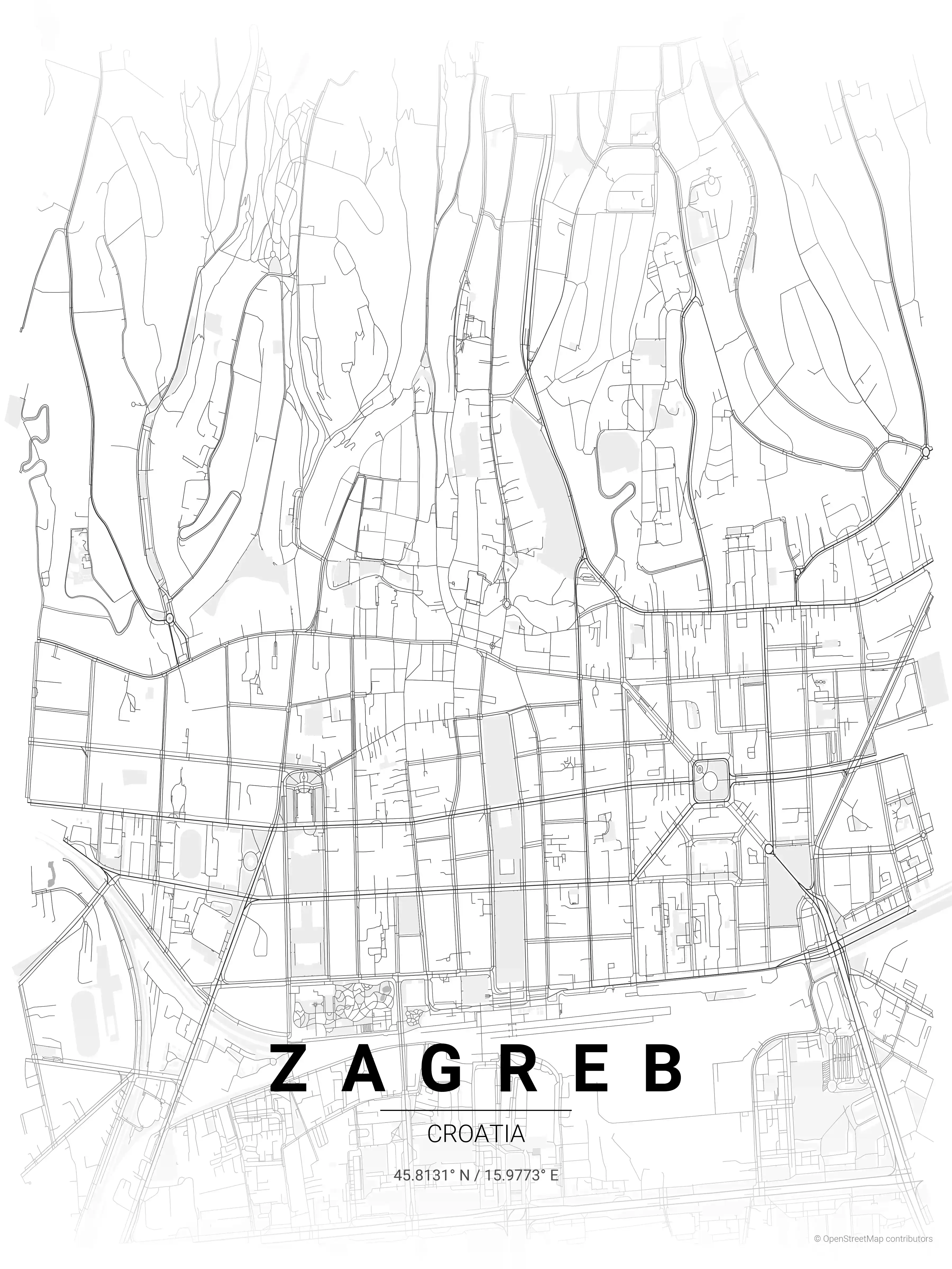
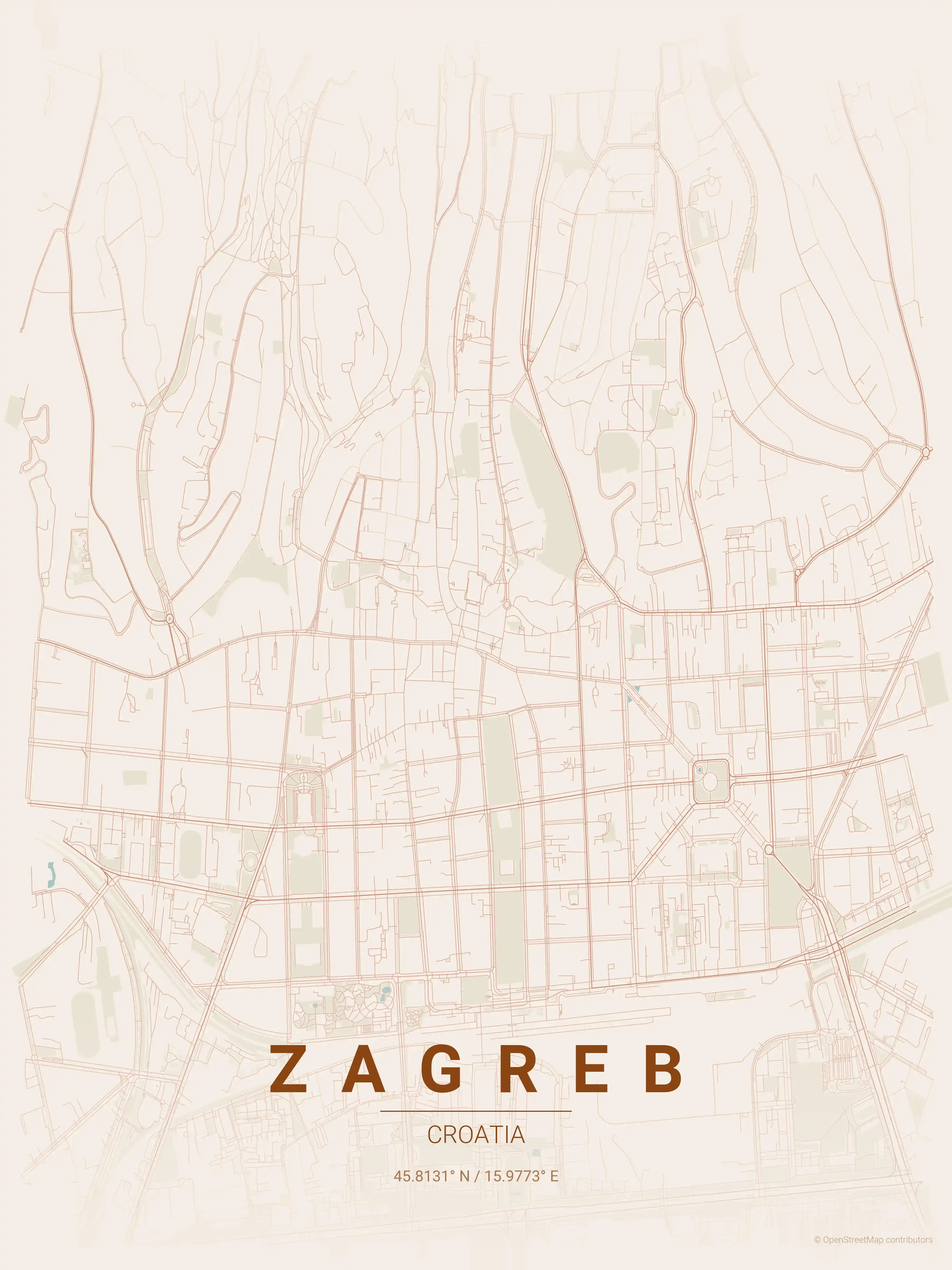
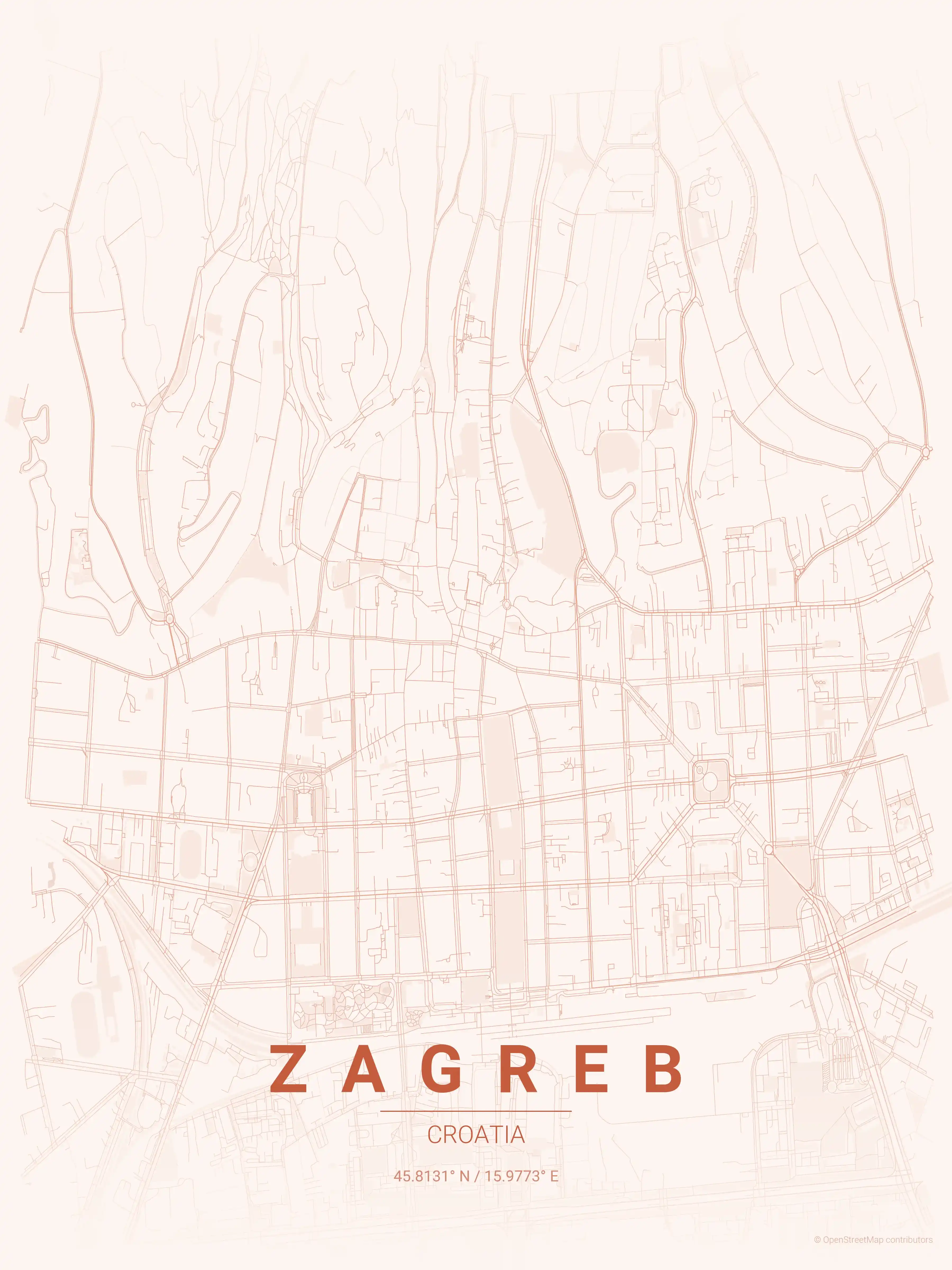
Zagreb Map Poster
Showcase your love for Zagreb with our minimalist street map poster, highlighting its iconic landmarks. Perfect for modern interiors and urban art enthusiasts, this piece captures the city's unique aesthetic beauty.
About Croatia City Maps
Looking for a Croatia city map you can print and frame? This collection gathers free, minimalist street map posters of the country”s best-known cities, each rendered as clean high-resolution wall art and offered as a free download with no signup.
Croatian urbanism splits neatly between two worlds. Inland, continental cities carry the orderly stamp of Habsburg planning, with broad boulevards and green squares laid out in measured grids. On the Dalmatian coast, cities hug their harbours and hillsides in tight, organic tangles of lanes — patterns that show up vividly the moment you look at them as a street map.
Browse free street maps of 2 Croatia cities: Zagreb and Split. Zagreb pairs the medieval lanes of its Upper Town with the rational nineteenth-century grid of the Lower Town, while Split”s streets still trace the walls of Diocletian”s Palace down to the Adriatic shore.
Every printable poster comes in nine artistic themes, so you can match a map to your room: midnight blue for an Adriatic evening, terracotta for the warm tones of the coast, or a clean blueprint look for a study. Each city map reads as both decoration and a faithful diagram of the place.
Exploring more of the region? See our Italy city maps across the Adriatic, or head north for Austria city maps that share Croatia”s Central European heritage.
More Europe City Maps
Explore More Cities
Discover map posters from cities across Europe in our complete collection.