Liechtenstein City Map
Free street map posters of 1 city
A minimalist map of Liechtenstein and its cities. Explore free, printable street map posters of Vaduz — each city mapped in 9 artistic themes and available as a high-resolution download.
Cities of Liechtenstein on the map: Vaduz.
About Liechtenstein City Maps
Looking for a Liechtenstein city map? This collection gathers free, printable street map posters of the microstate’s towns, rendered as clean minimalist line art. Whether you want to map the capital or simply own a piece of one of the world’s smallest countries, every download is high-resolution and free.
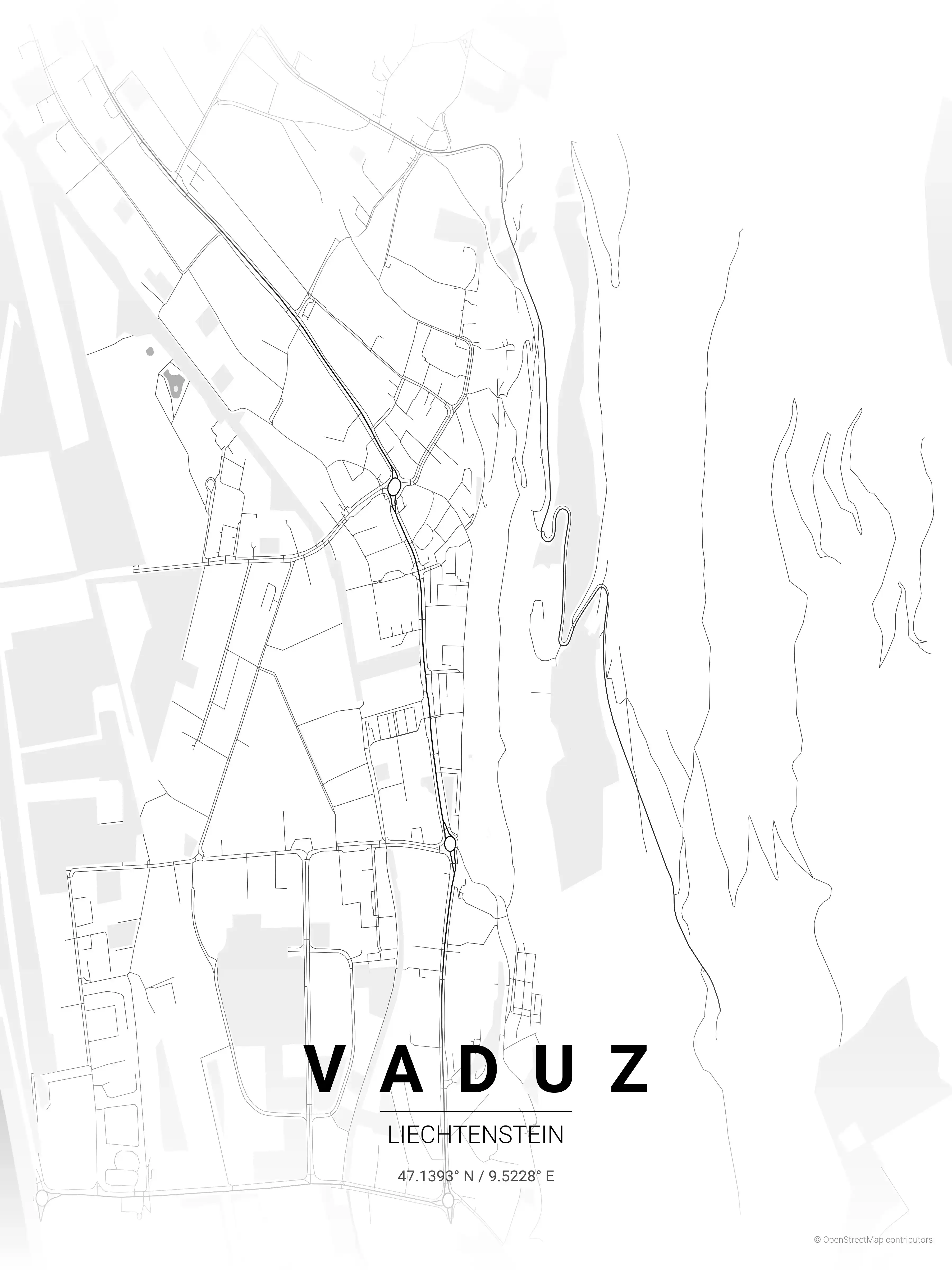
Browse free street maps of Liechtenstein cities: Vaduz. As the capital sits in the Rhine valley between Switzerland and Austria, its street map captures the distinctive blend of alpine village and modern microstate — a compact grid framed by the river and overlooked by Vaduz Castle.
Liechtenstein’s urban character is unlike anywhere else: a single principality of close-knit villages strung along the Rhine, where well-planned streets, careful infrastructure and dramatic mountain backdrops sit side by side. That intimacy is exactly what makes each city map so striking, with no wasted space and every road clearly legible.
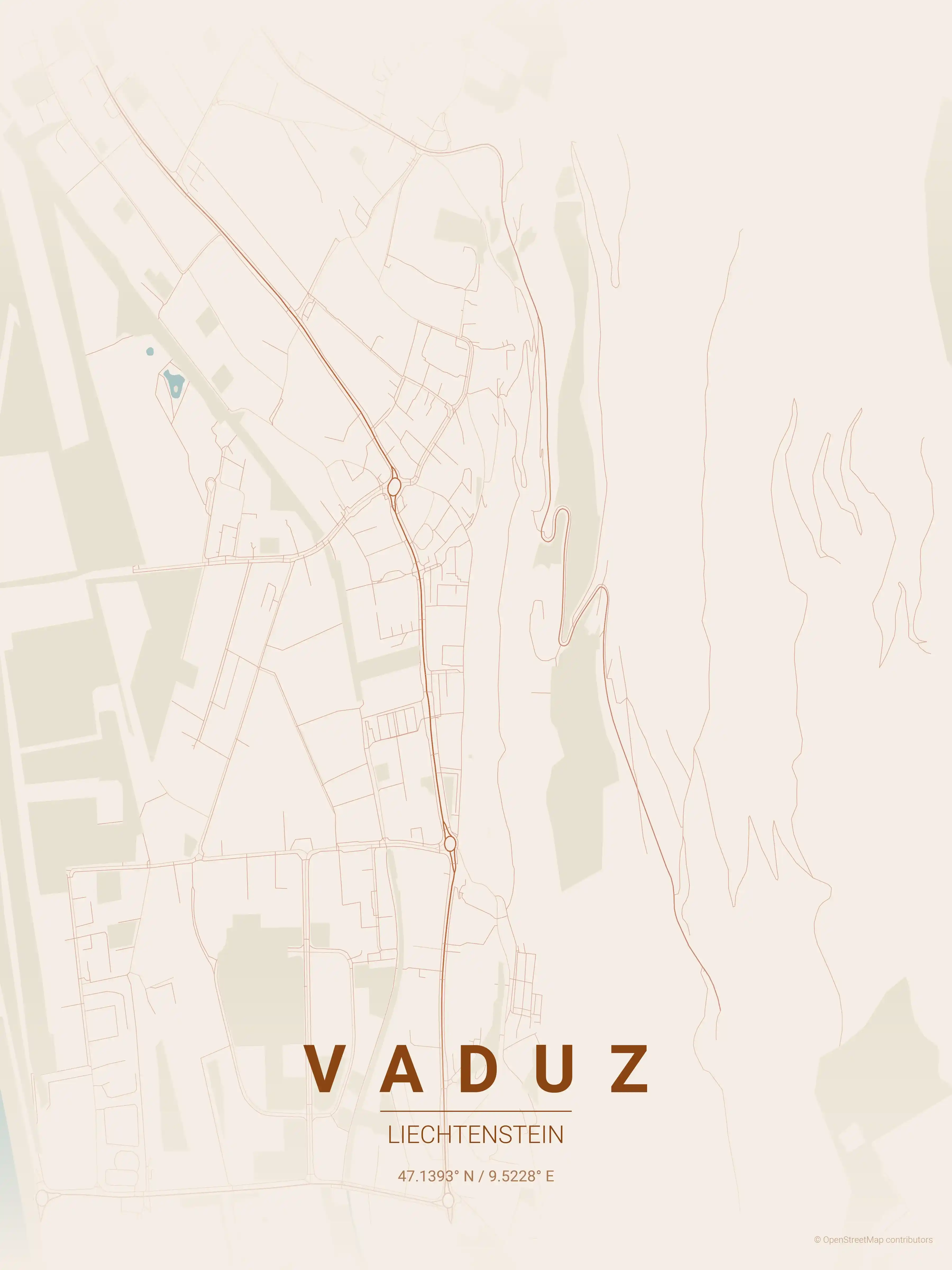
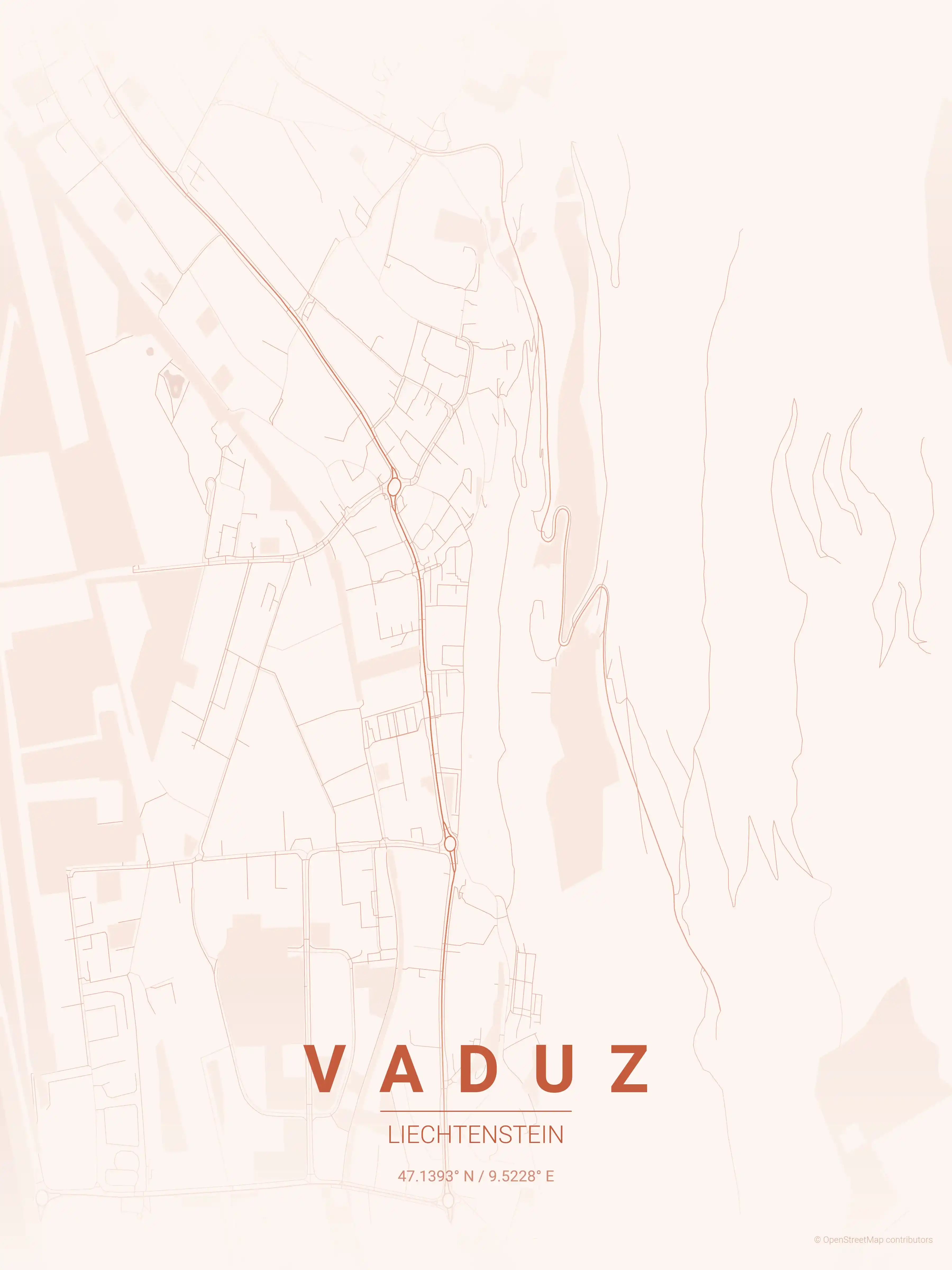
Each Liechtenstein street map comes in 9 artistic themes, from warm beige tones that echo the alpine setting to a precise blueprint style. Pick a palette, download the free file and print it at the size that fits your wall.
Exploring the wider region? See our neighbouring Switzerland city maps and Austria city maps for more alpine street map posters across central Europe.
More Europe City Maps
Explore More Cities
Discover map posters from cities across Europe in our complete collection.