Monaco City Map
Free street map posters of 1 city
A minimalist map of Monaco and its cities. Explore free, printable street map posters of Monaco — each city mapped in 9 artistic themes and available as a high-resolution download.
Cities of Monaco on the map: Monaco.
About Monaco City Maps
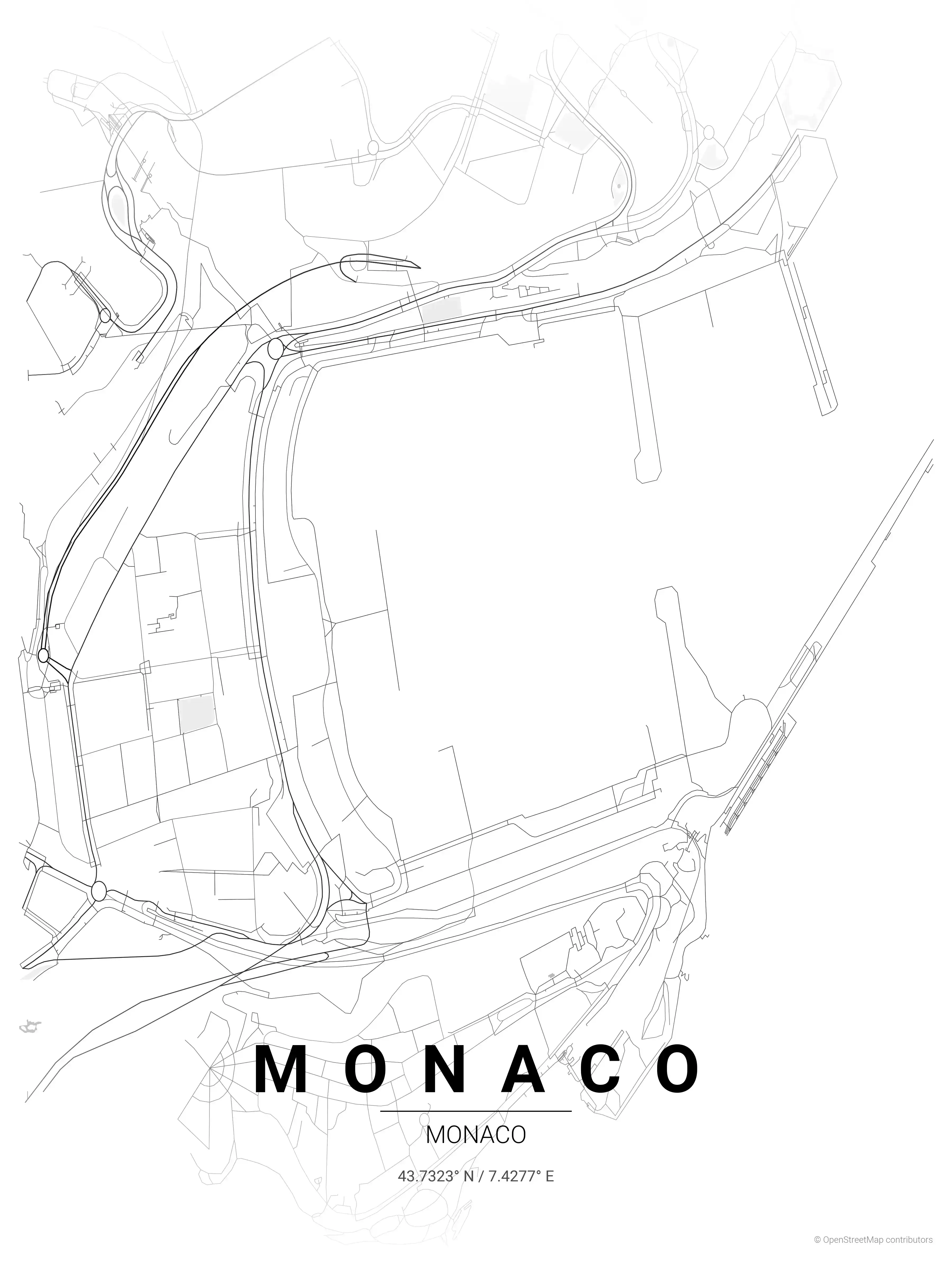
Looking for a Monaco city map? This is the place to download free, printable street map posters of the principality. Despite being the world’s second-smallest country, Monaco packs extraordinary urban density into roughly two square kilometres on the French Riviera, and its street map is one of the most distinctive in Europe.
Monaco is effectively a single city-state, so the collection centres on one remarkable place. Browse the free street map of Monaco’s only city: Monaco, covering Monte Carlo, Port Hercule and the historic quarter of Monaco-Ville.
The city map reveals a place built vertically: roads switchback up steep hillsides, tunnels burrow through rock, and every square metre of the principality is accounted for. The tight, layered streets of Monte Carlo, the harbour-hugging roads around the yacht basin, and the famous Grand Prix circuit looping through public streets make the map instantly recognisable to motorsport and travel enthusiasts alike.
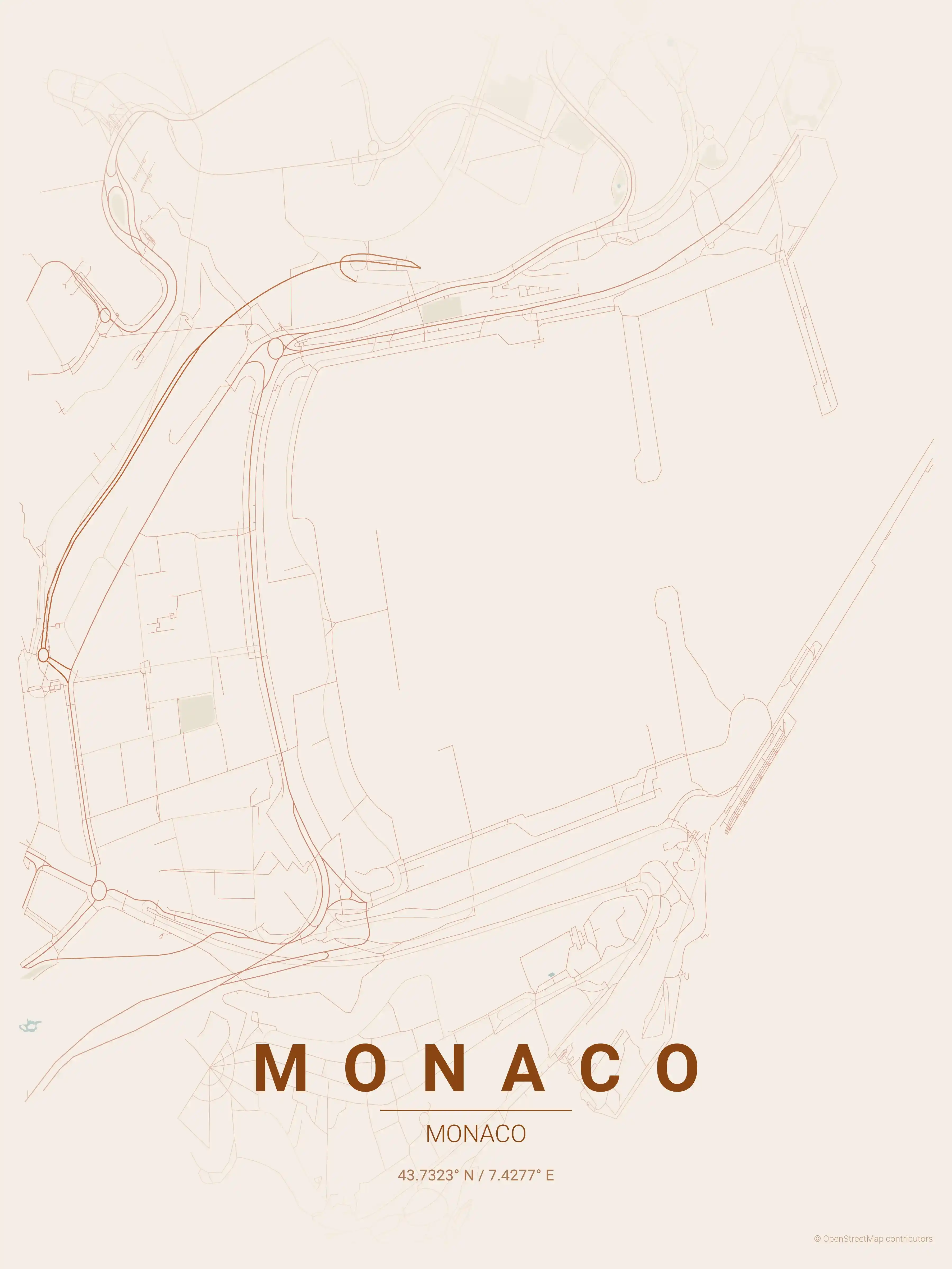
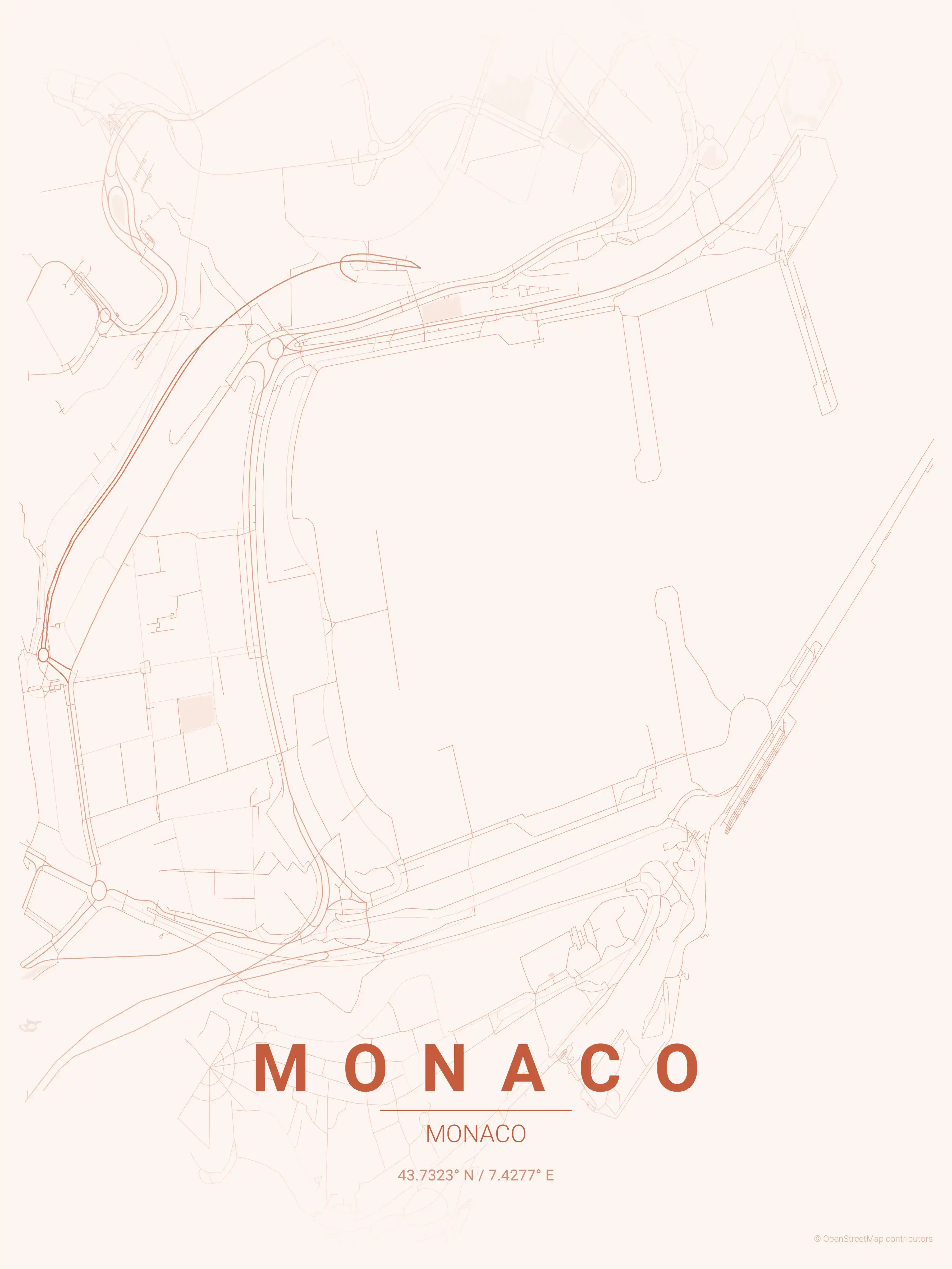
Each printable poster comes in nine artistic themes. The neon cyberpunk palette nods to Monaco’s glamorous nightlife, while the midnight blue theme evokes evenings along the Mediterranean. Every download is free and high-resolution.
If you are mapping this corner of the Riviera, you may also like our neighbouring France city maps and Italy city maps, which share the same Mediterranean coastline and urban character.
More Europe City Maps
Explore More Cities
Discover map posters from cities across Europe in our complete collection.