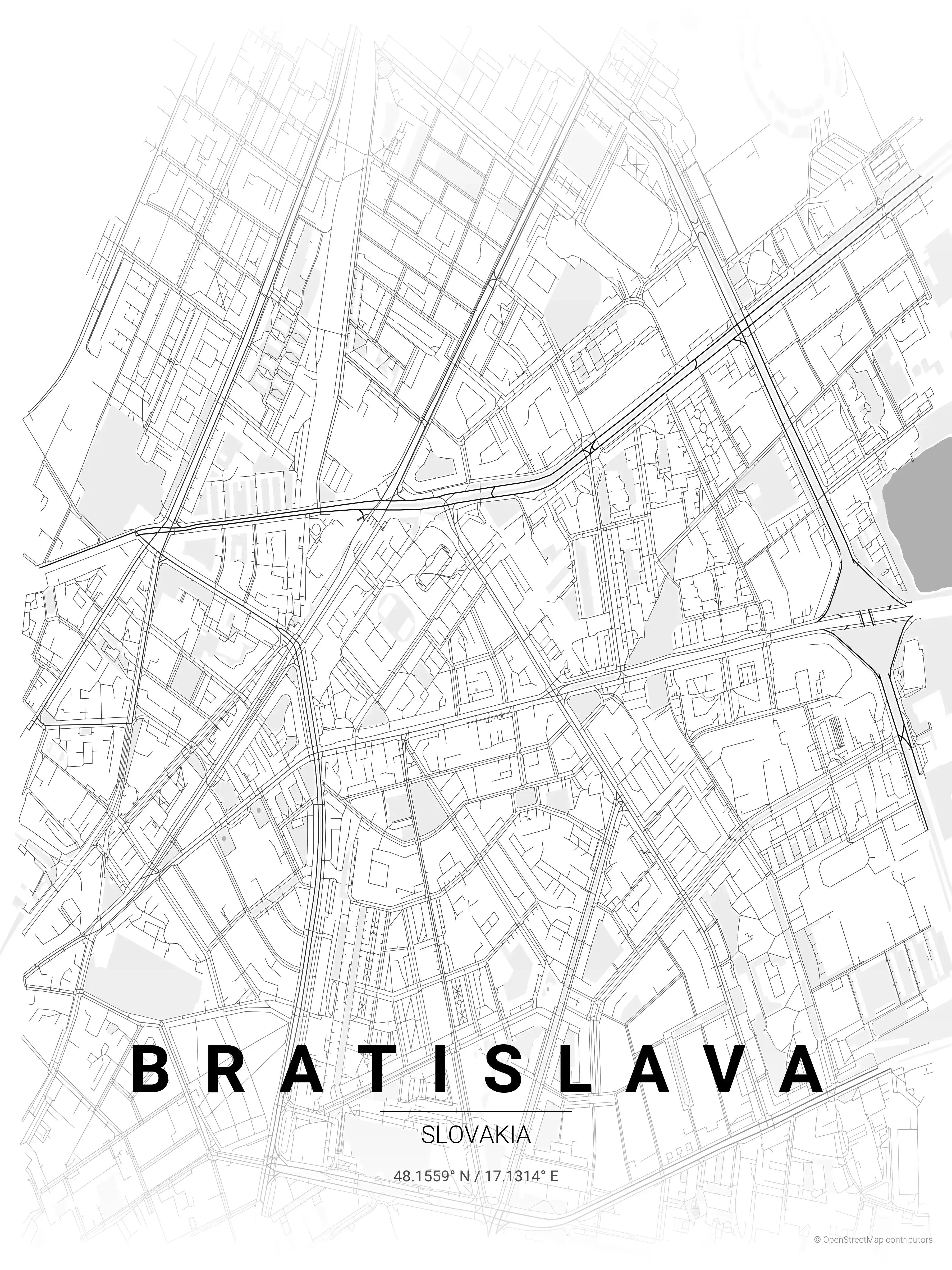
Bratislava Street Map Poster
Free printable Slovakia city map & outline — contrast zones theme
Free high-resolution downloads. Print anywhere you like.
Digital Download
Free
High-resolution digital file
What You Get
- High-resolution WebP file
- Optimized for any print size
- Multiple artistic themes
- Free for personal use
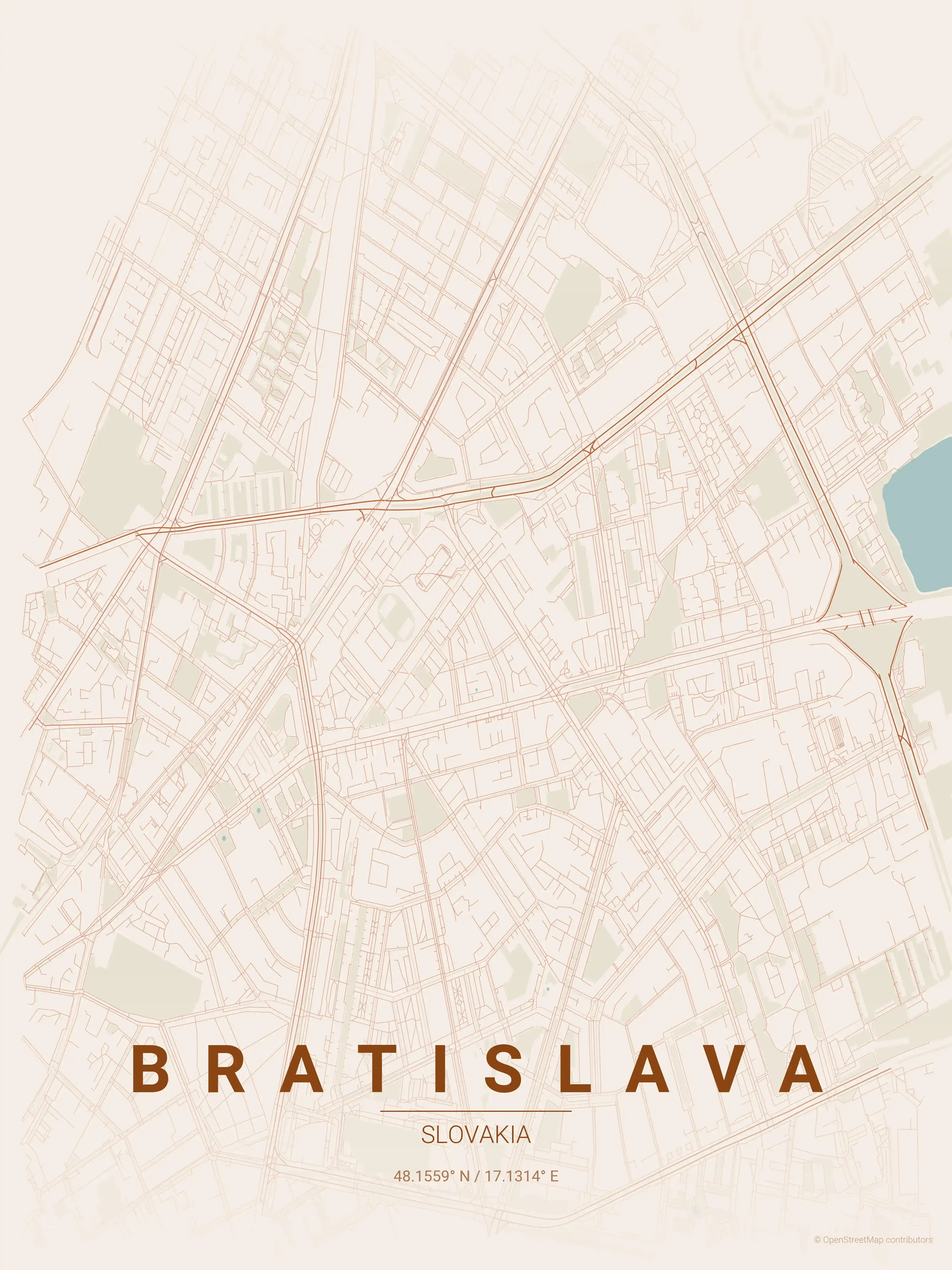
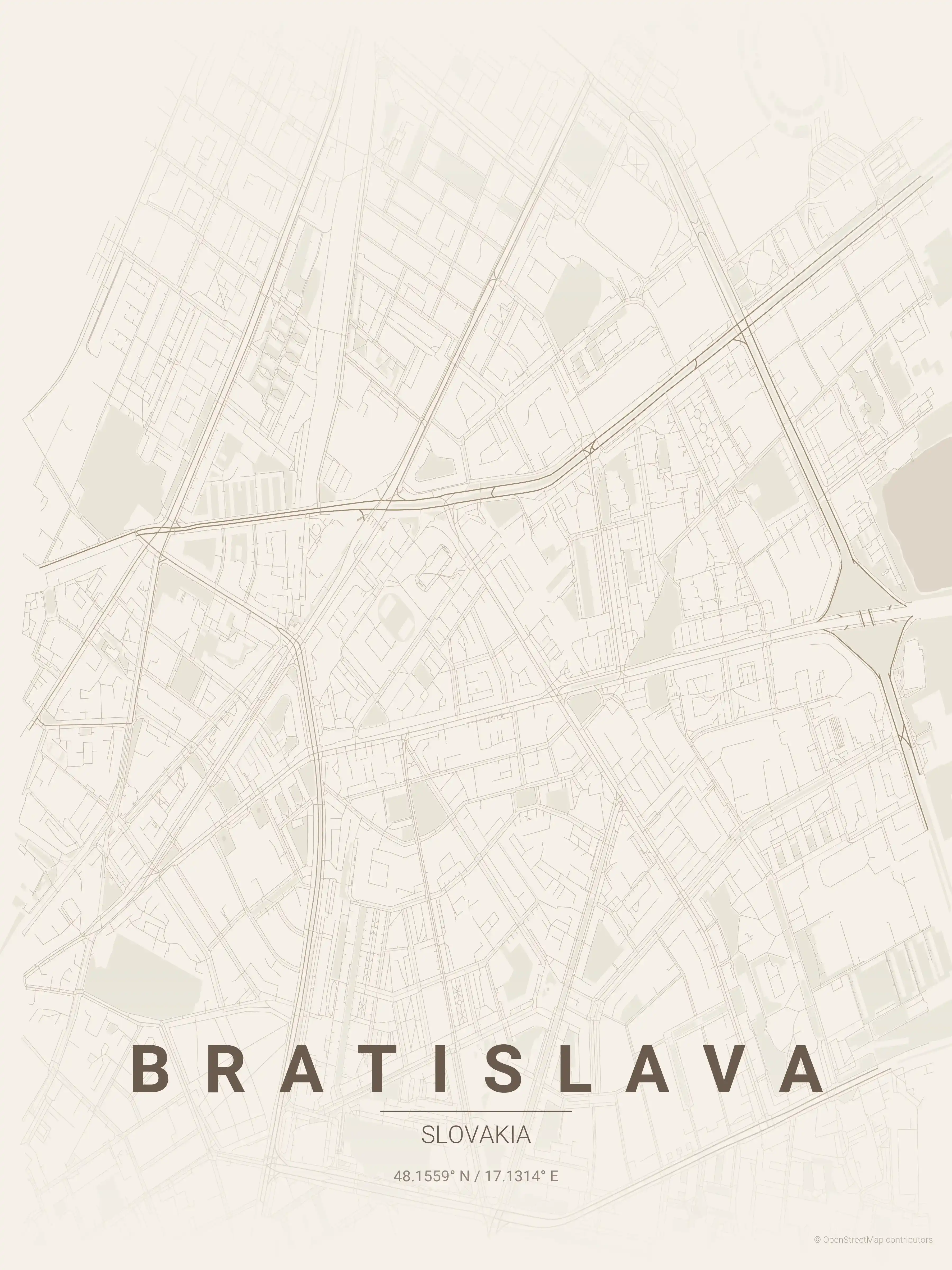
Free Printable Bratislava Street Map
This is a detailed, minimalist street map of Bratislava, covering the Staré Mesto old town in Slovakia, with landmarks such as Bratislava Castle, the Danube, Staré Mesto old town. Download it free as a high-resolution, print-ready file — equally at home as framed wall art or a clean reference street map and city outline of Bratislava.
Also known as: mapa Bratislavy · mapa Bratislavy s ulicami · mapa mesta Bratislava
About the Bratislava Map Poster
Sitting on the banks of the Danube, Bratislava has a street map shaped by the river and the hill that Bratislava Castle crowns above the old town. This printable city map traces the tight medieval lanes of Staré Mesto, the historic centre, where pedestrian streets converge on Hlavné námestie and pass beneath Michael’s Gate, the last surviving medieval gateway. From there the grid opens out toward the Danube embankment and the cable-stayed SNP Bridge, with its UFO observation deck, linking the centre to the Petržalka district across the water.
What makes a Bratislava street map distinctive is this compression of an Austro-Hungarian capital into a walkable core, ringed by wider nineteenth-century boulevards and later development. The poster captures St. Martin’s Cathedral, the curving riverfront, and the radiating streets that fan out from the historic heart.
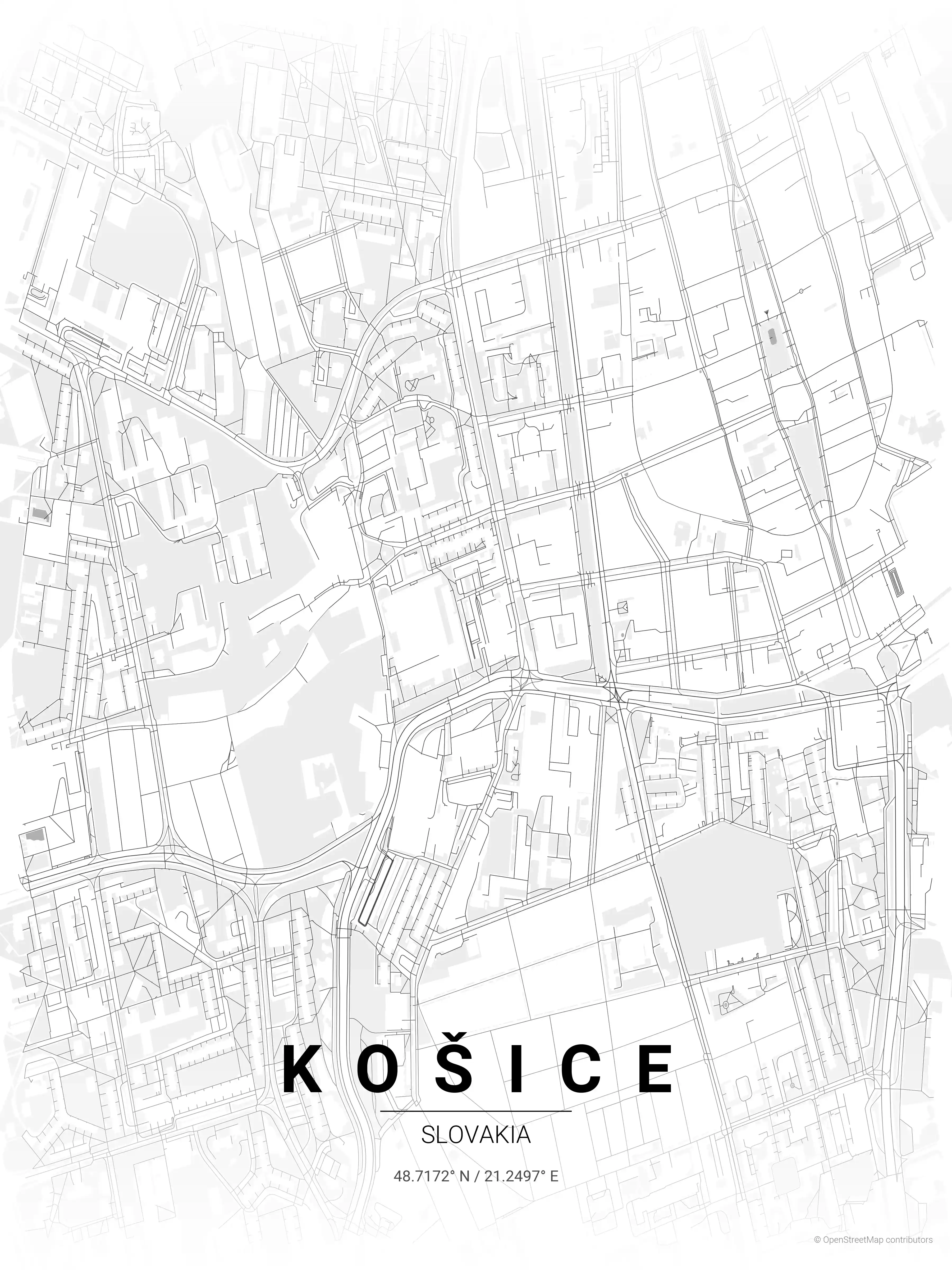
As wall art it suits anyone with a connection to the Slovak capital — a clean, framed reminder of the city on the Danube. Explore other Slovakia city maps or pair it with the Košice map poster from the country’s east. Each city map comes in several palettes so the printable artwork fits your space.
How to Print Your Bratislava Map
Download the high-resolution file and print it at home, through an online print service (Printful, Printify, Shutterfly, Vistaprint), or at a local print shop. The Bratislava street map prints crisp at sizes up to roughly A1 (24×36 in / 60×90 cm).
- · Popular frame sizes: A3, A2, 18×24 in, 50×70 cm
- · Portrait 3:4 aspect ratio — fits standard poster frames
- · No watermark · no attribution required for personal use
File Information
What's Included
- High-resolution file optimized for professional printing
- Instant download – no registration or account needed
- Print as many times as you like for personal use
- Clean design with no watermarks or attribution required
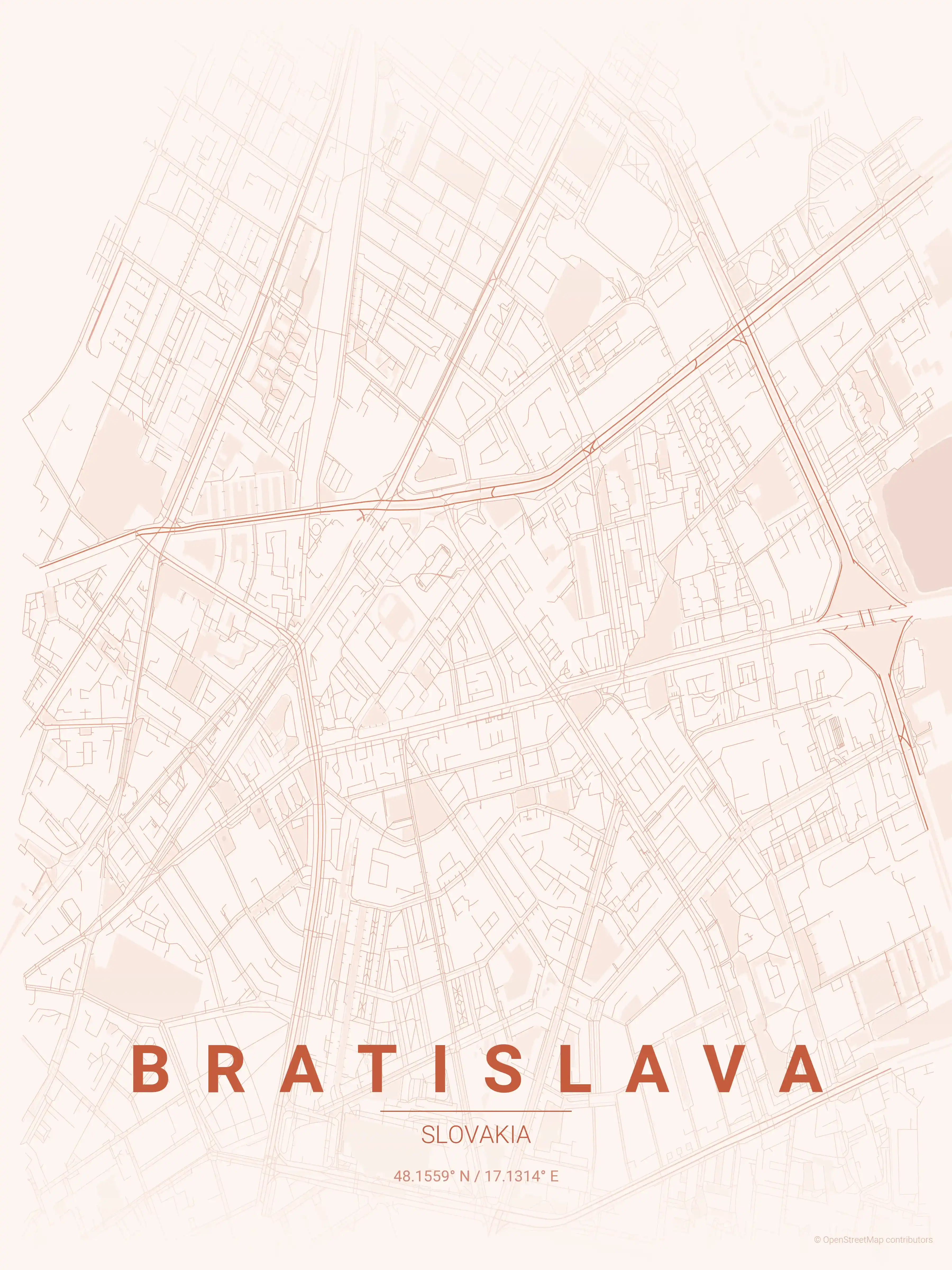
Theme Collection
Explore all available aesthetic variations
contrast zones
Click to preview
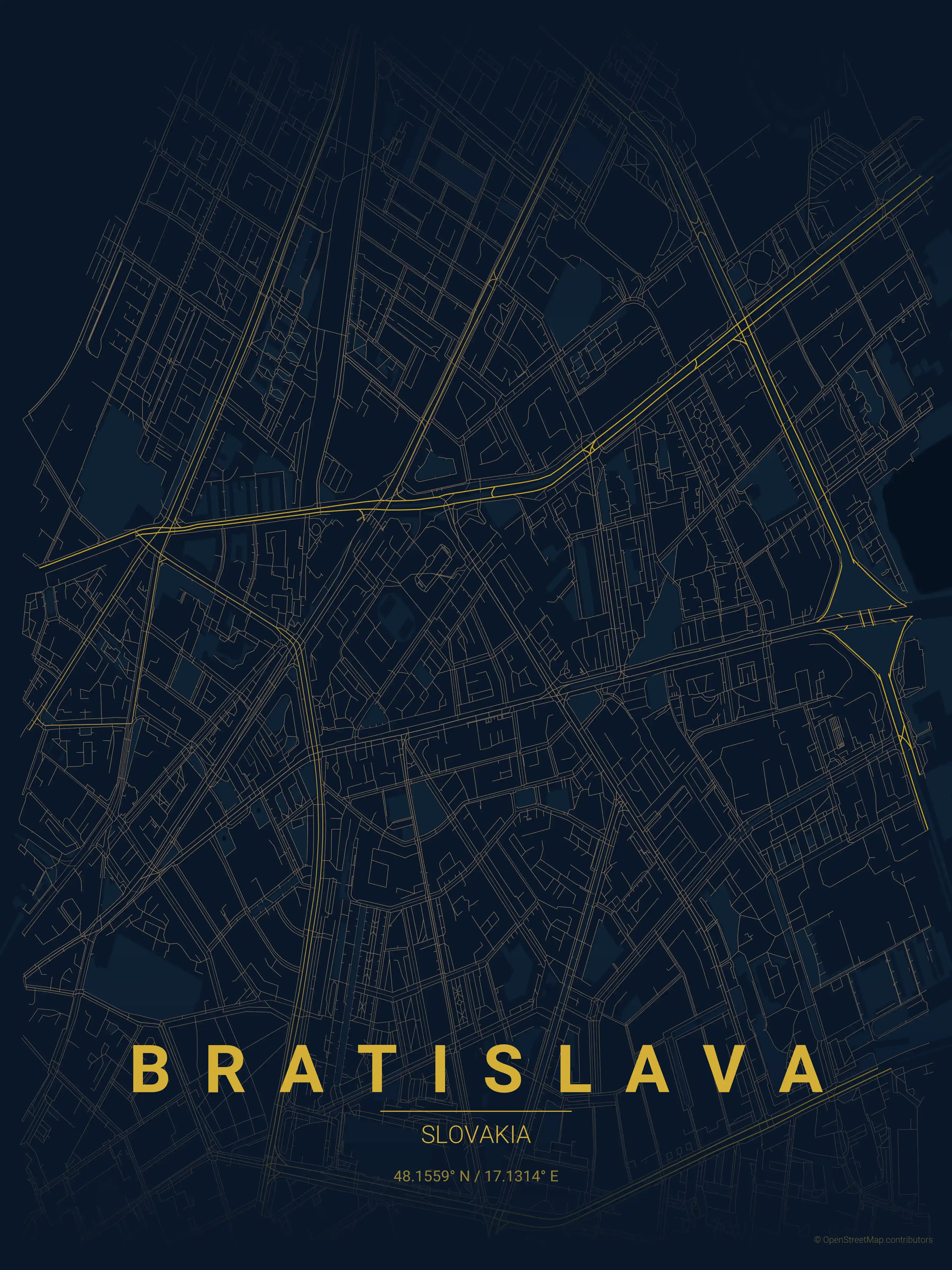
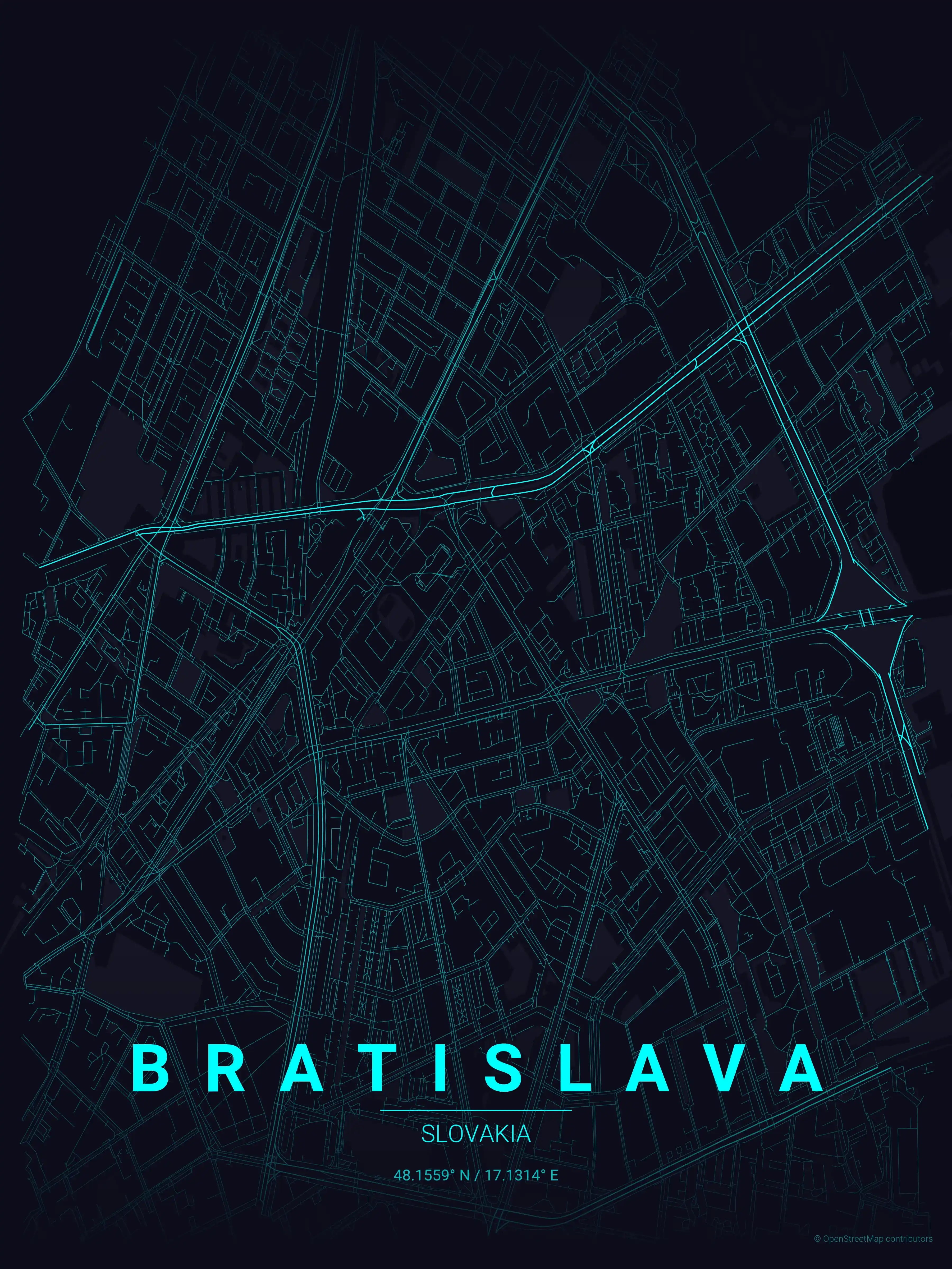
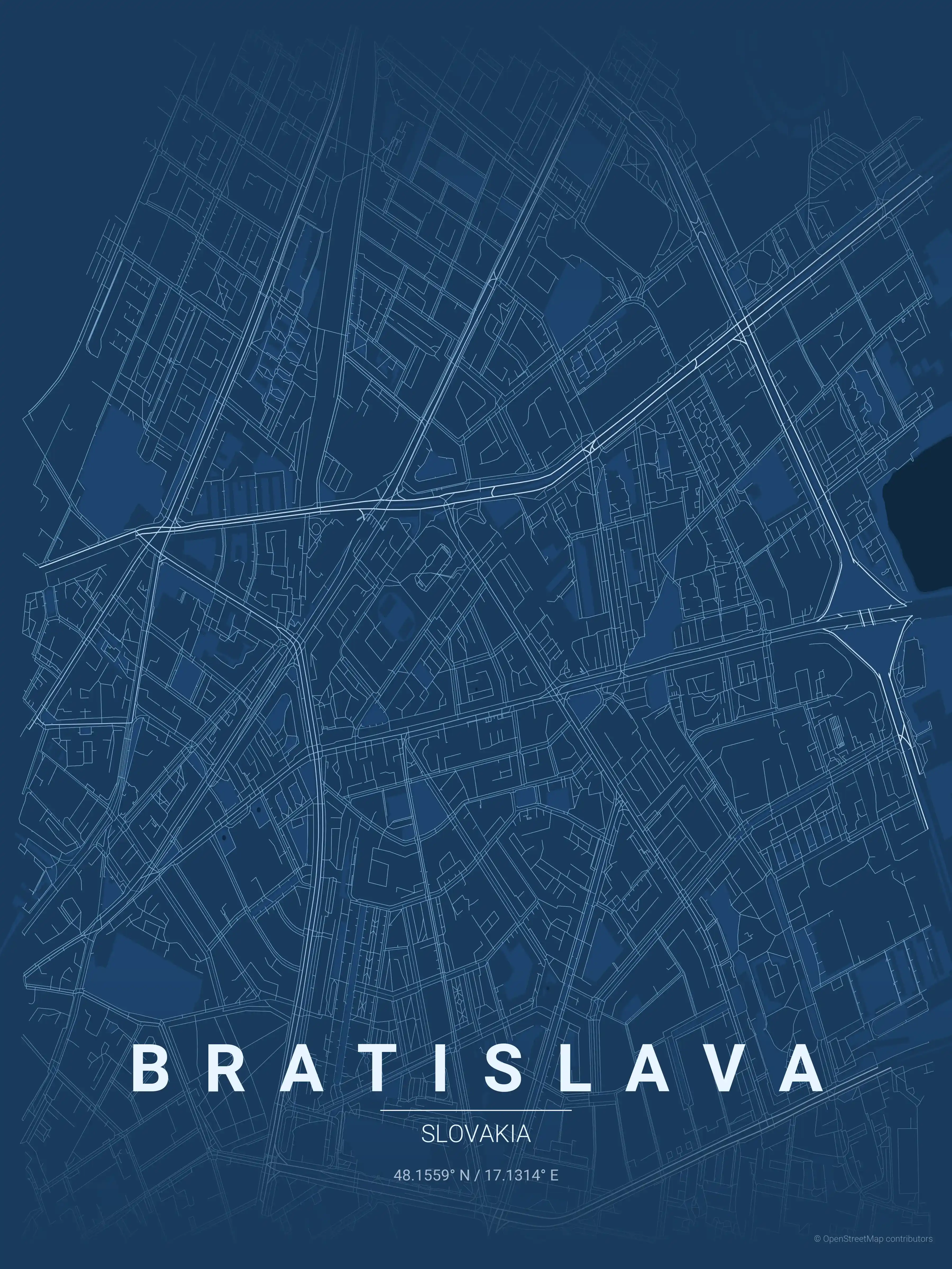
midnight blue
Click to preview
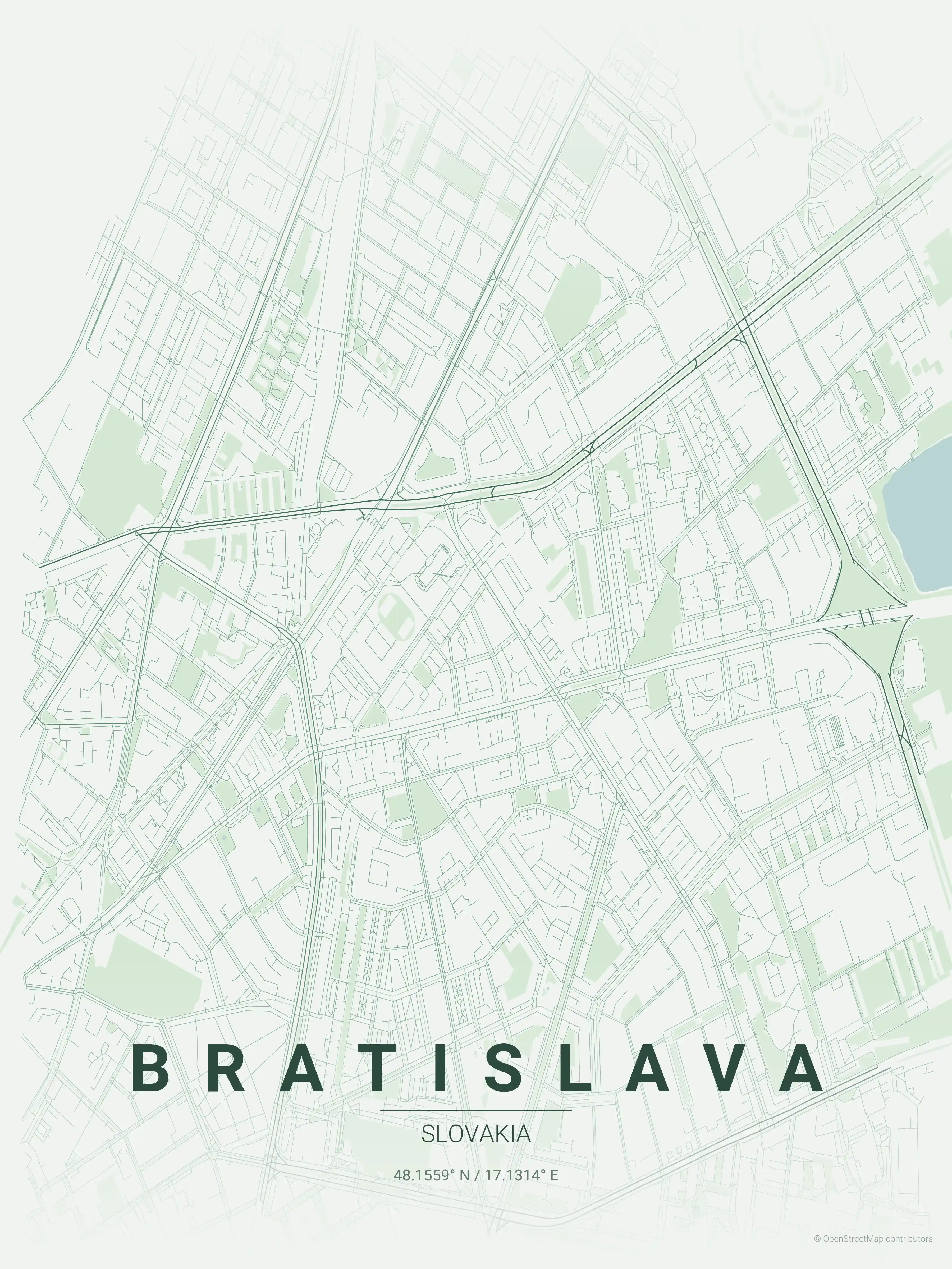
forest
Click to preview
neon cyberpunk
Click to preview
terracotta
Click to preview
japanese ink
Click to preview
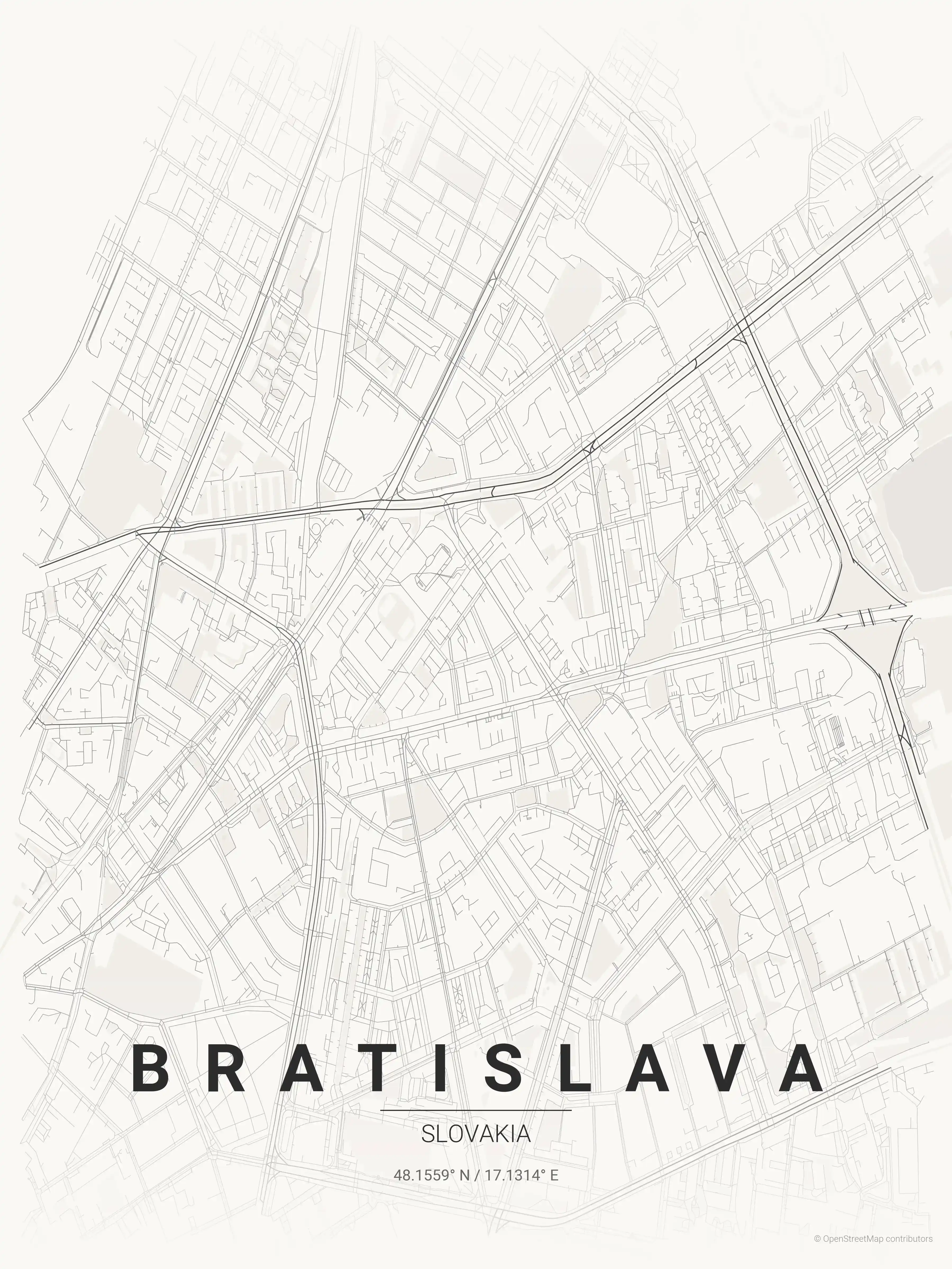
blueprint
Click to preview
warm beige
Click to preview
sunset
Click to preview
Bratislava Map — FAQ
Common questions about the free Bratislava street map poster
Is the Bratislava map poster free to download?
Yes. Every Bratislava, Slovakia street map poster is 100% free to download for personal use — no signup, no email, and no watermark. Download as many themes as you like.
What does the Bratislava map show?
It's a minimalist street map of Bratislava — a clean outline of the city's real street network, including the Staré Mesto old town and landmarks such as Bratislava Castle, the Danube, Staré Mesto old town. It works as both decorative wall art and a stylised reference map of Bratislava.
What size can I print the Bratislava map at?
The file is high-resolution and prints crisp at sizes up to roughly A1 (24×36 in / 60×90 cm). Popular frame sizes are A3, A2, 18×24 in and 50×70 cm.
How many themes are available for Bratislava?
Bratislava is available in 9 artistic themes, including contrast zones, midnight blue, forest and more — same street layout, different colour palettes.
More Maps from Slovakia
Discover other cities in our collection