Slovakia City Map
Free street map posters of 2 cities
A minimalist map of Slovakia and its cities. Explore free, printable street map posters of Bratislava, Košice — each city mapped in 9 artistic themes and available as a high-resolution download.
Cities of Slovakia on the map: Bratislava, Košice.
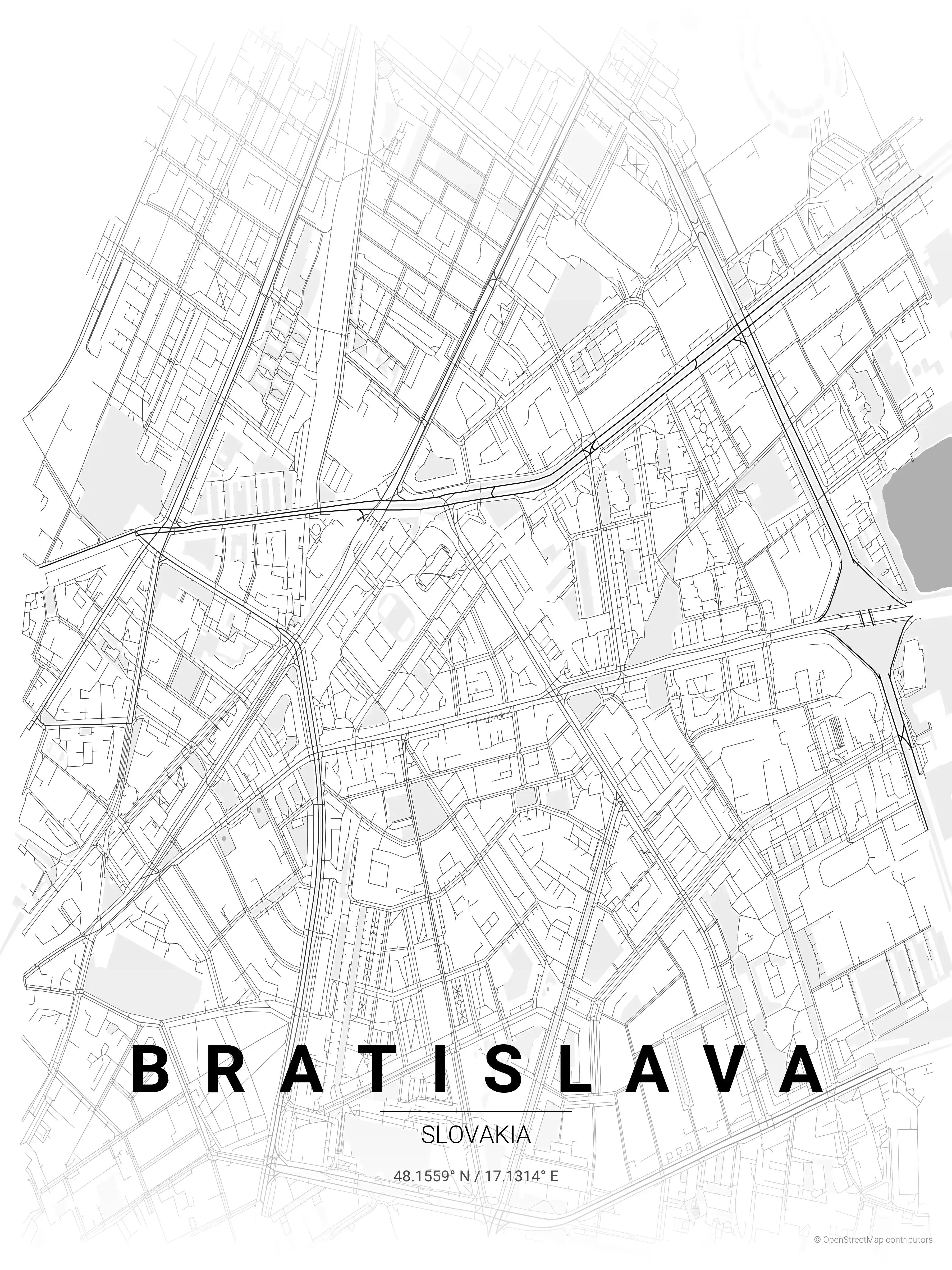
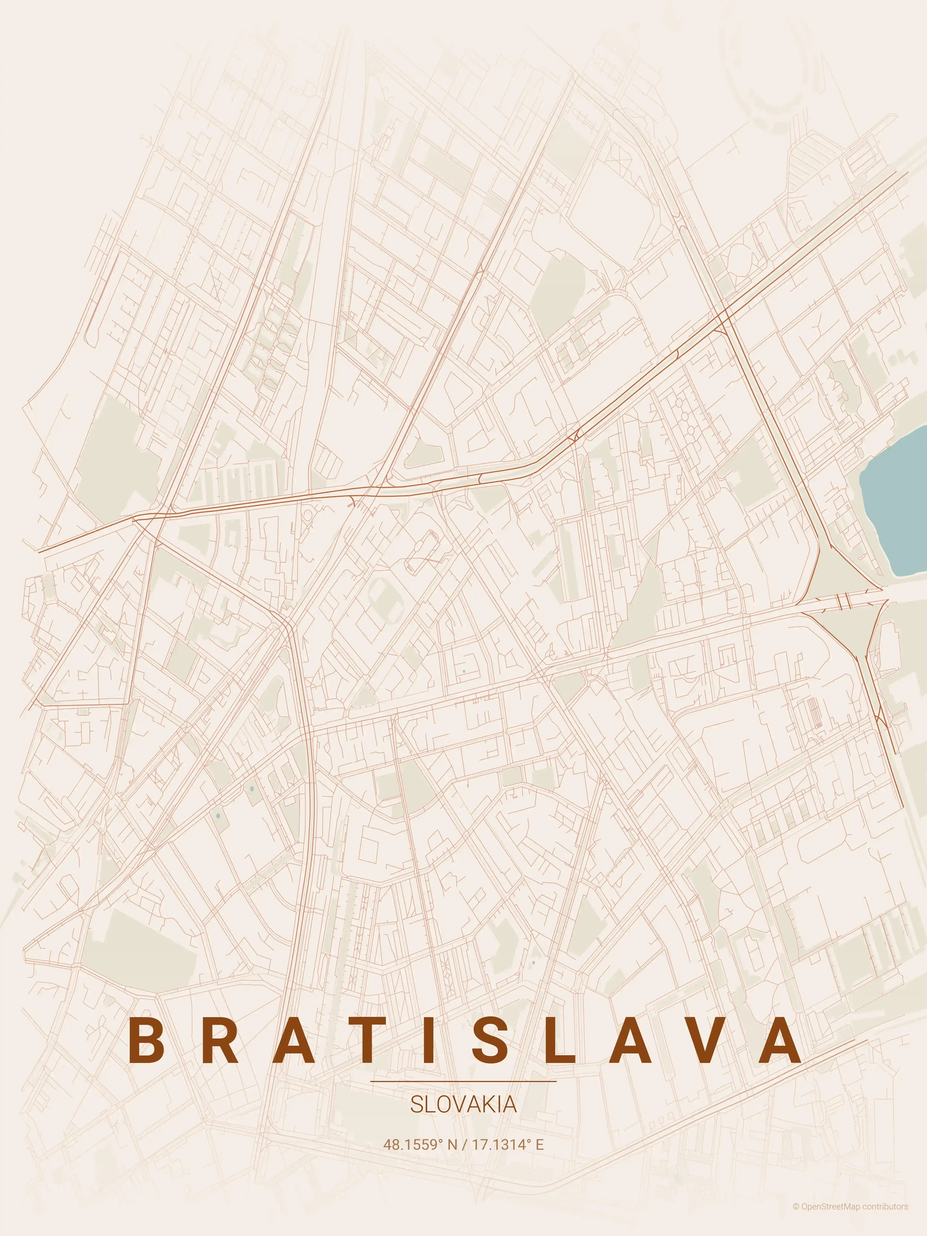
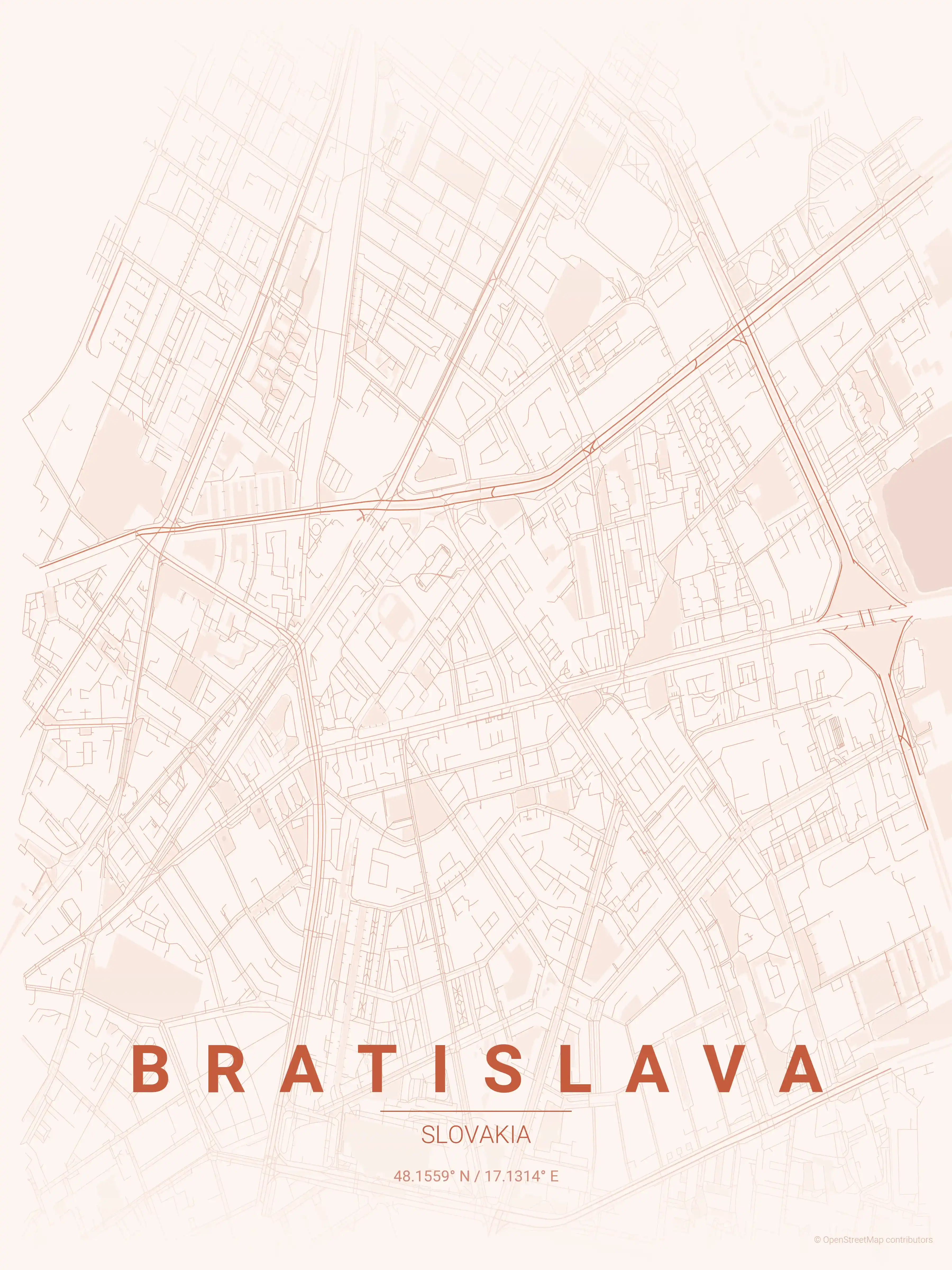
Bratislava Map Poster
Our minimalist street map poster of Bratislava showcases its iconic landmarks in an elegant design. Perfect for modern interiors and urban art lovers, it beautifully highlights the city's intricate street network — mapa Bratislavy.
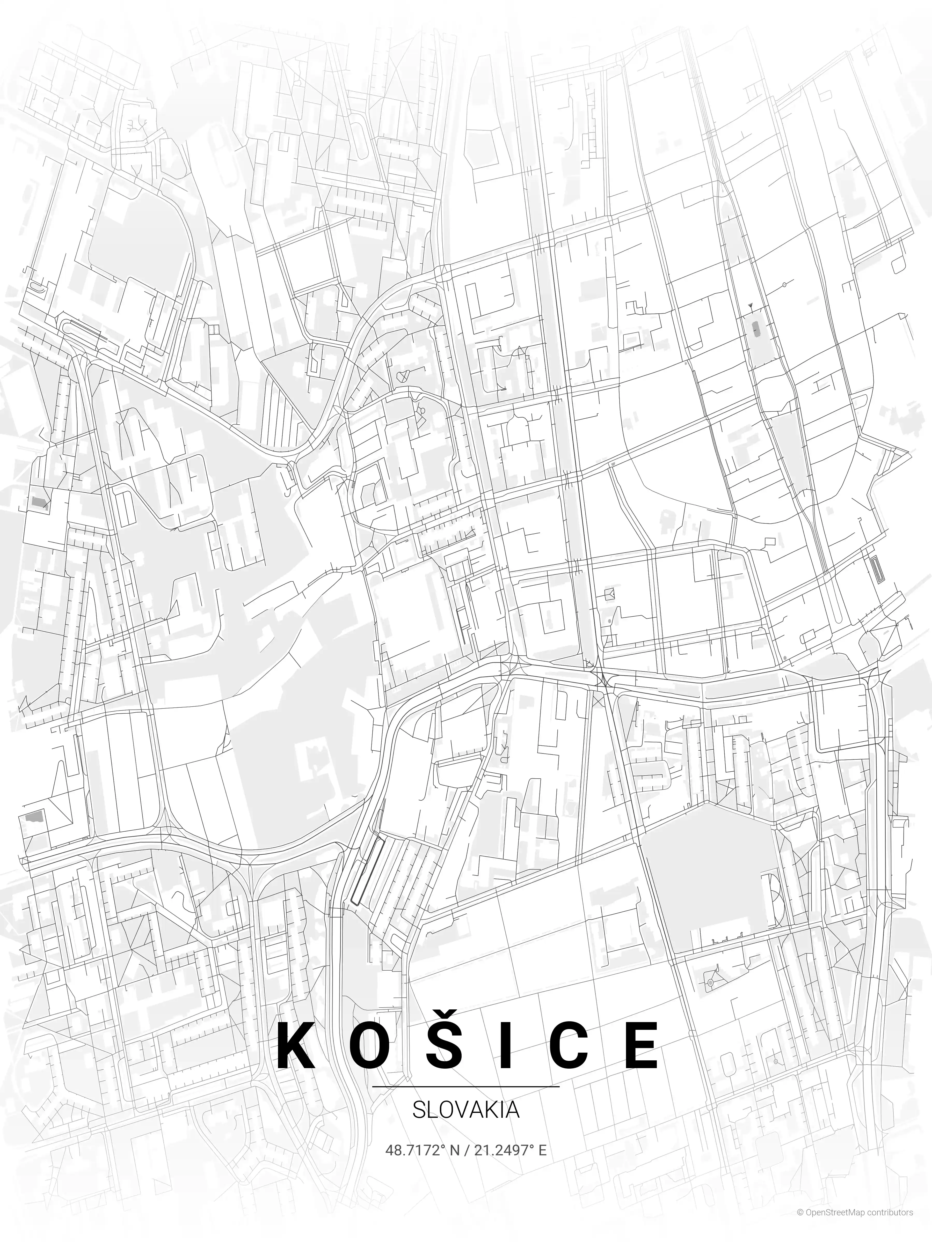
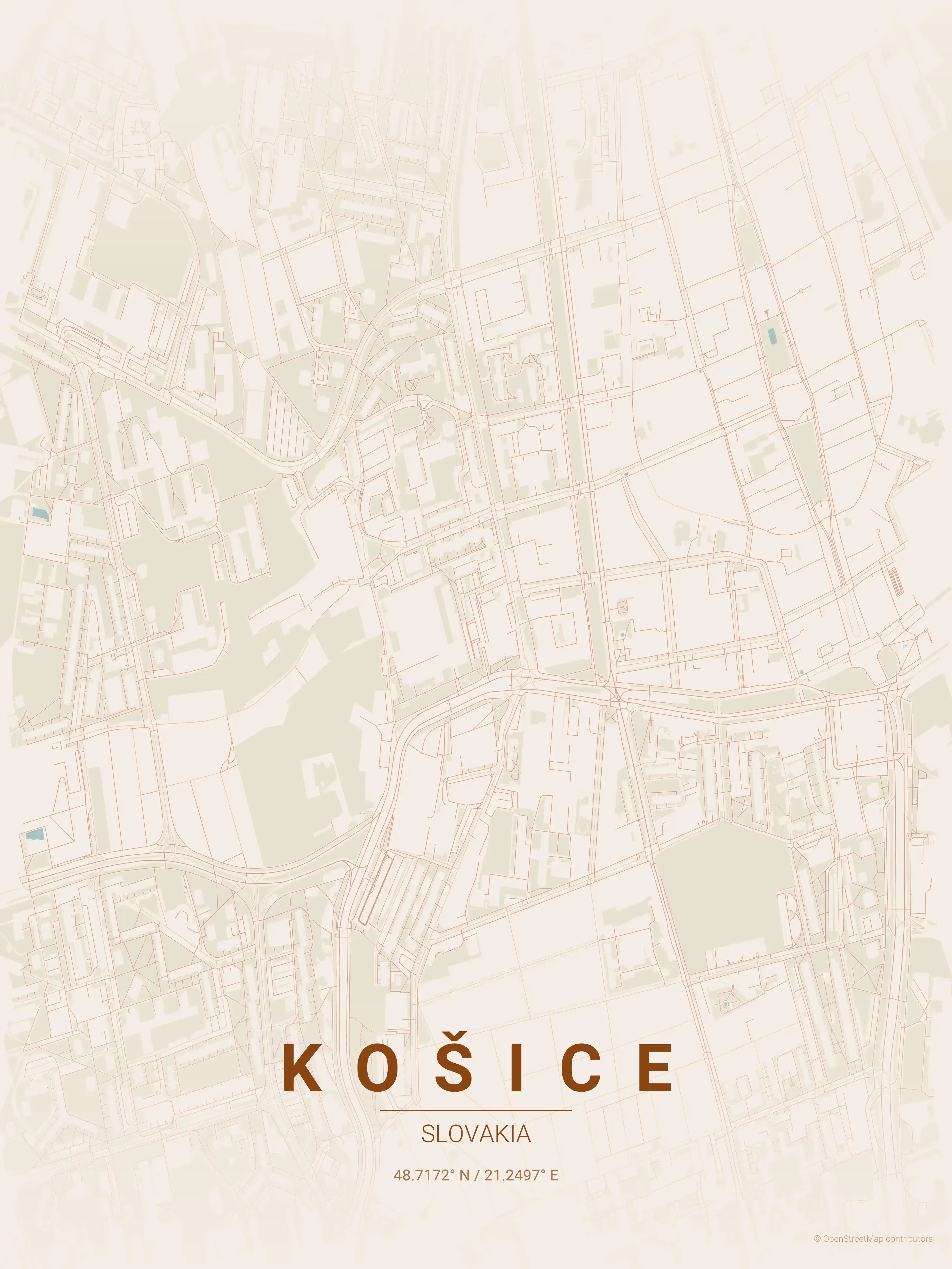
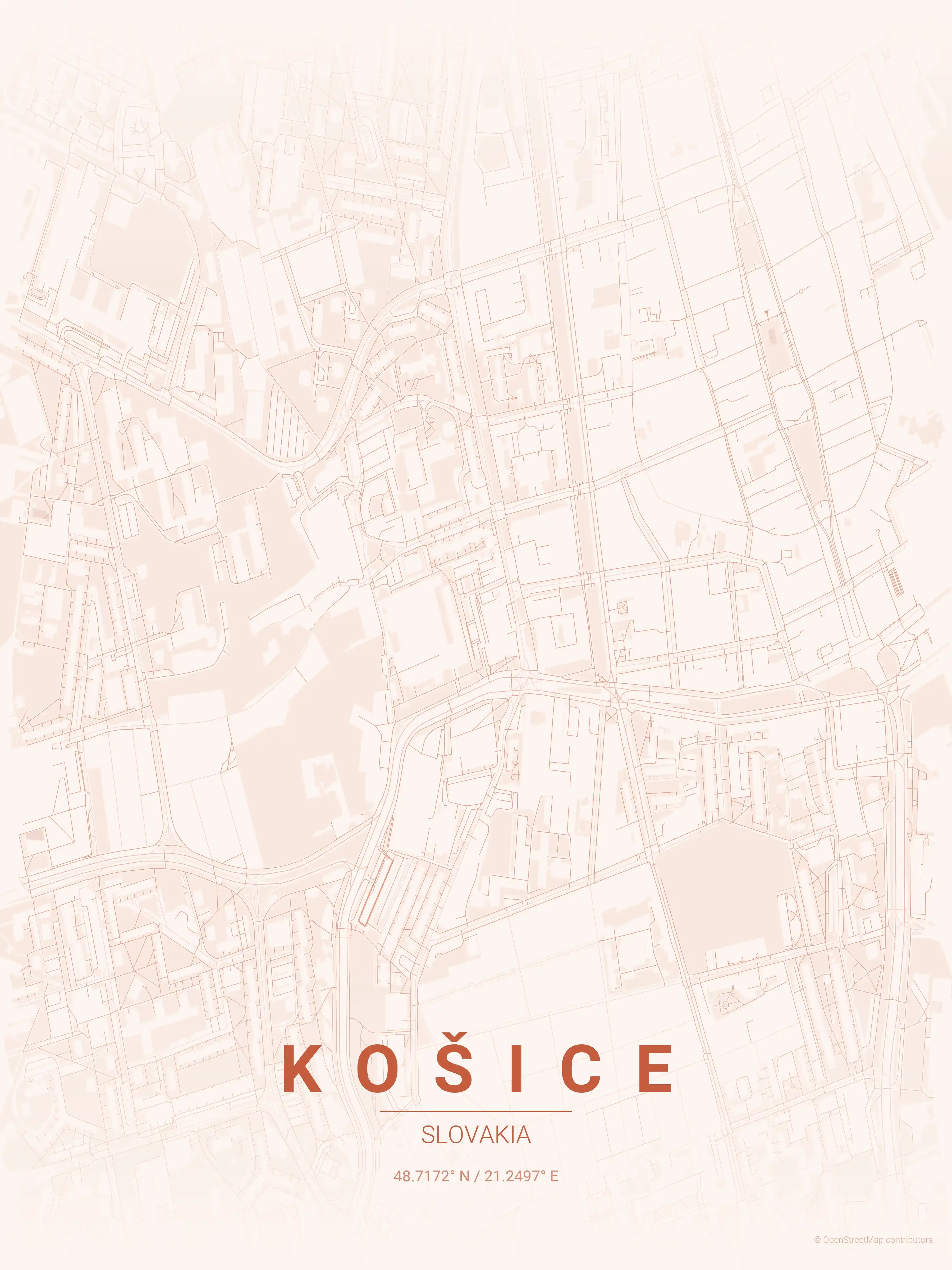
Košice Map Poster
Experience Košice's unique layout with a minimalist street map poster, showcasing iconic landmarks like St. Elisabeth Cathedral. A perfect addition for modern interiors and urban art lovers — mapa Košíc.
About Slovakia City Maps
Looking for a Slovakia city map? This is the place to find free, printable street map posters of the country’s cities. Browse free street maps of both major Slovak cities: Bratislava and Košice. Each is a high-resolution city map you can download at no cost and frame as minimalist wall art.
Slovakia’s urban character sits at a Central European crossroads, blending Hungarian, Austrian, and Slavic influences. The cities are compact and walkable, their cores still shaped by medieval walls and later Austro-Hungarian boulevards — the kind of structure that reads clearly in a minimalist line map.
Bratislava, the capital, sits on the Danube within sight of both Vienna and Budapest, its castle-topped Staré Mesto giving way to wider boulevards and the riverside development beyond. The street map captures that layering, from the tight old-town lanes to the SNP Bridge spanning the water.
In the east, Košice offers a completely different city map: its old town wraps around Hlavná ulica, a long spindle-shaped main street that widens into a central plaza anchored by St. Elisabeth Cathedral. Set side by side, the two posters show how varied Slovak urbanism can be.
Each city map comes in nine artistic themes, from midnight blue to warm beige, and every file is a free, high-resolution download ready to print. Exploring the wider region? See our Czech Republic city maps and Austria city maps for neighbouring Central European capitals and towns.
More Europe City Maps
Explore More Cities
Discover map posters from cities across Europe in our complete collection.