New Orleans Street Map Poster
Free printable United States city map & outline — contrast zones theme
Free high-resolution downloads. Print anywhere you like.
Digital Download
Free
High-resolution digital file
What You Get
- High-resolution WebP file
- Optimized for any print size
- Multiple artistic themes
- Free for personal use
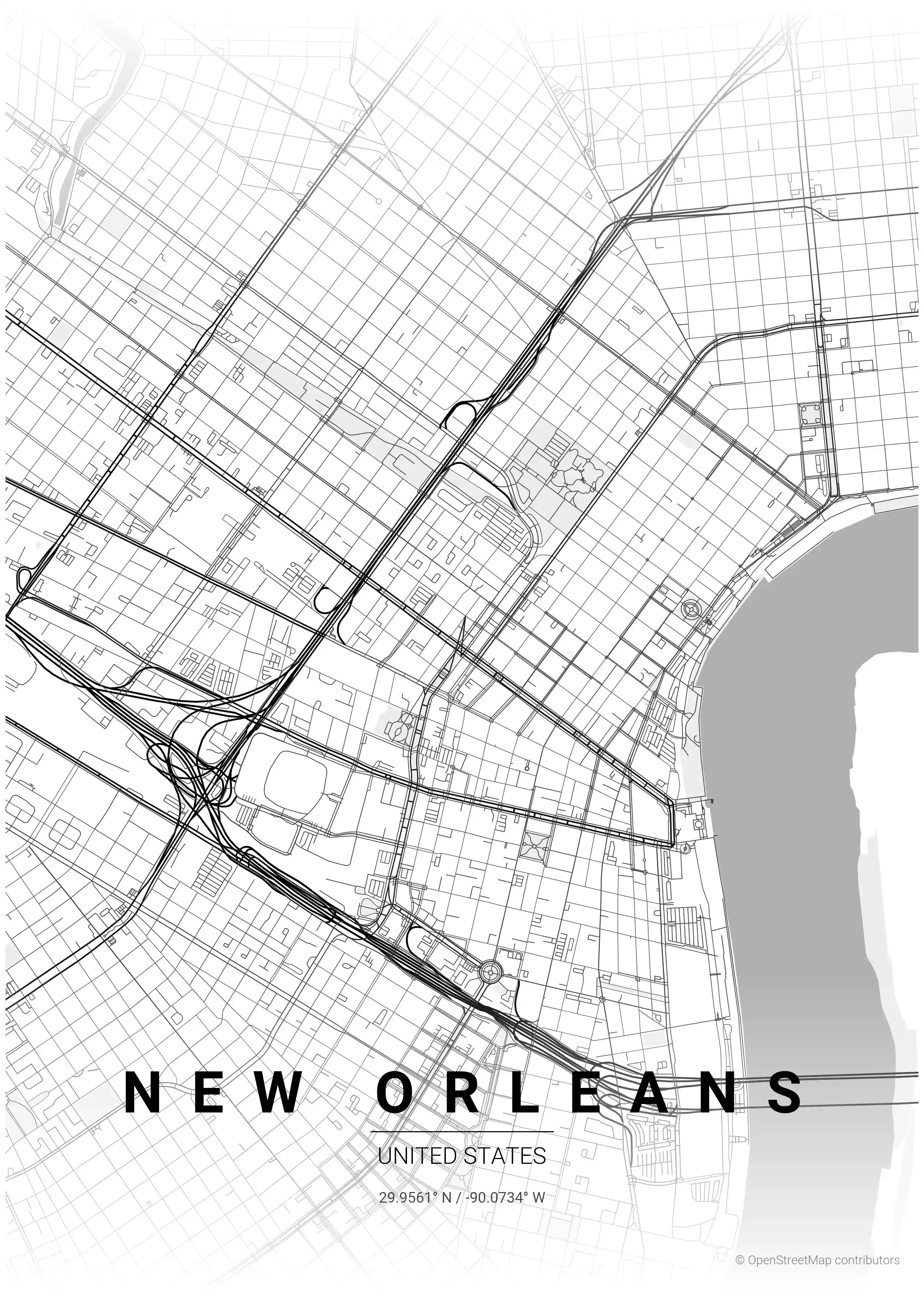
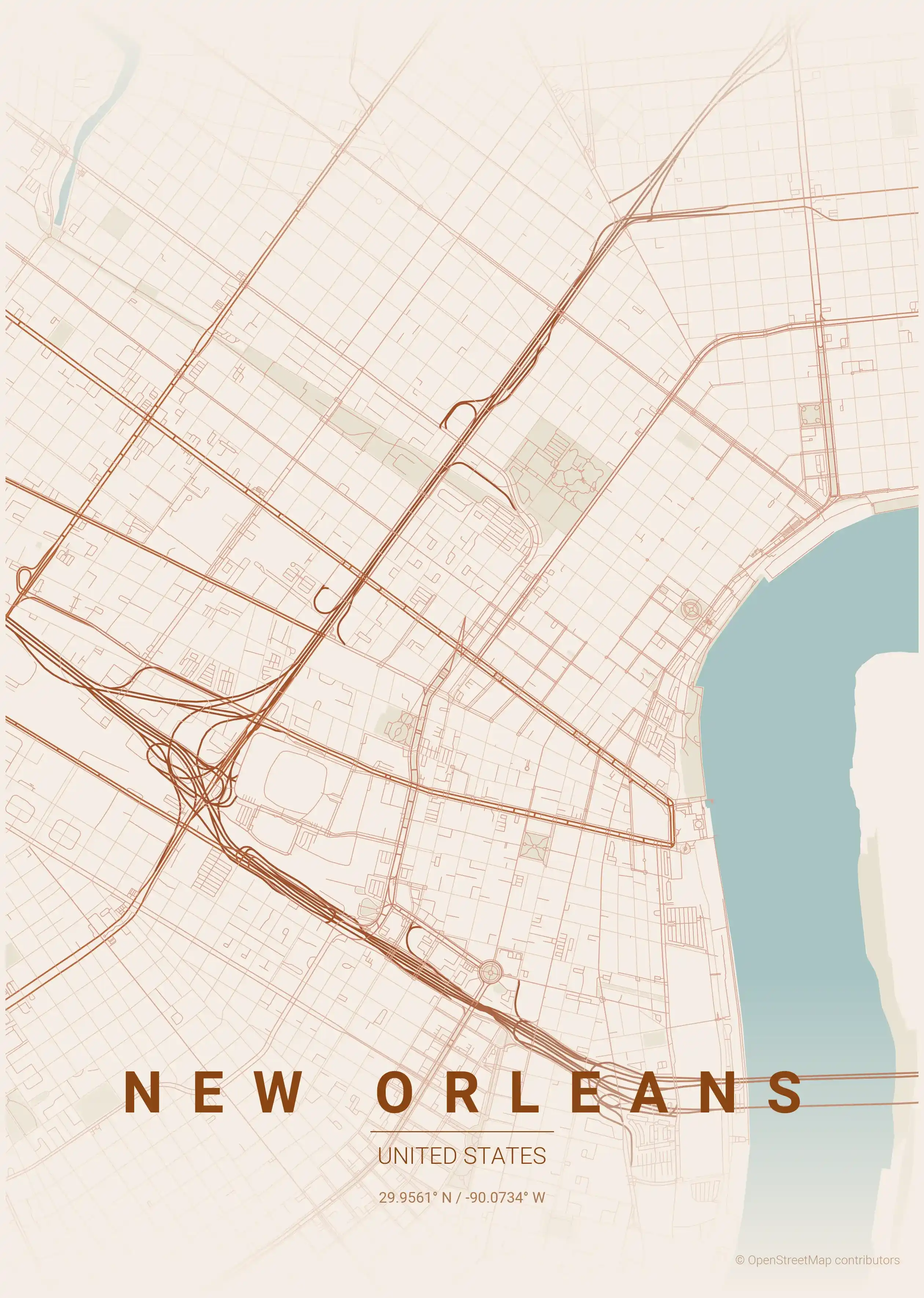
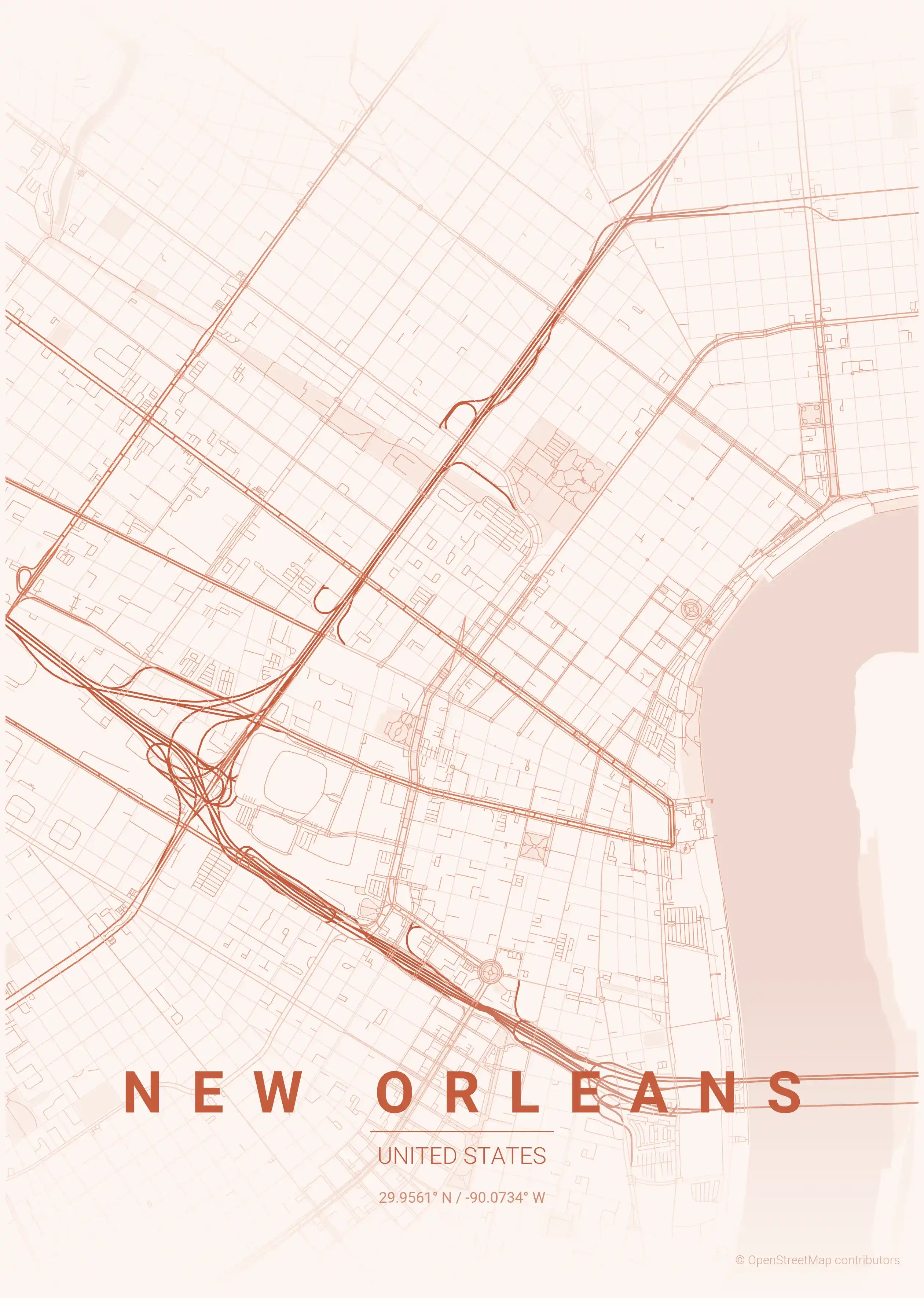
Free Printable New Orleans Street Map
This is a detailed, minimalist street map of New Orleans, covering the the French Quarter (Vieux Carré) in United States, with landmarks such as the Mississippi River, the French Quarter, the Garden District. Download it free as a high-resolution, print-ready file — equally at home as framed wall art or a clean reference street map and city outline of New Orleans.
About the New Orleans Map Poster
There is no other street map in the United States quite like New Orleans. Because the city follows the great curve of the Mississippi River, its streets bend and fan out to stay parallel to the water — earning it the nickname the Crescent City. This printable city map captures that sweeping geometry: the tight, original grid of the French Quarter (Vieux Carré) at the river’s edge, the long oak-lined run of St. Charles Avenue through the Garden District and Uptown, and the radiating blocks of the Marigny and Bywater downriver.
The fan-shaped streets, pinched and splayed by the river’s curve, make a street map of New Orleans endlessly interesting to trace. As a minimalist line drawing it becomes elegant, slightly off-kilter wall art that captures the city’s one-of-a-kind layout.
It is a soulful print for a New Orleanian, a jazz lover, or anyone who has wandered the Quarter at dusk. Explore the rest of our United States city maps, or pair it with the Miami map poster for two vibrant Gulf-and-Atlantic cities. Every New Orleans city map is a free, high-resolution download, ready to print and frame.
How to Print Your New Orleans Map
Download the high-resolution file and print it at home, through an online print service (Printful, Printify, Shutterfly, Vistaprint), or at a local print shop. The New Orleans street map prints crisp at sizes up to roughly A1 (24×36 in / 60×90 cm).
- · Popular frame sizes: A3, A2, 18×24 in, 50×70 cm
- · Portrait 3:4 aspect ratio — fits standard poster frames
- · No watermark · no attribution required for personal use
File Information
What's Included
- High-resolution file optimized for professional printing
- Instant download – no registration or account needed
- Print as many times as you like for personal use
- Clean design with no watermarks or attribution required
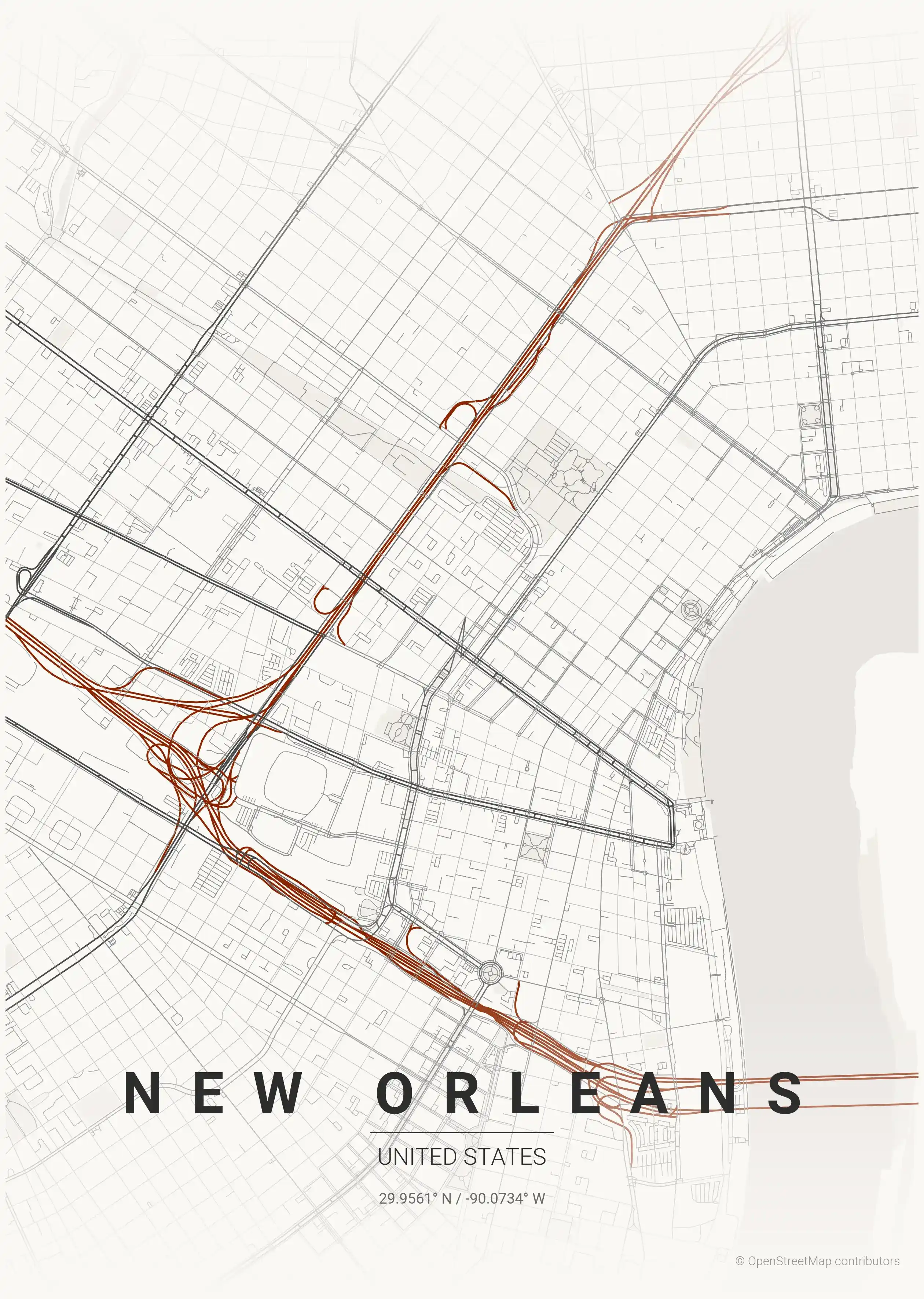
Theme Collection
Explore all available aesthetic variations
contrast zones
Click to preview
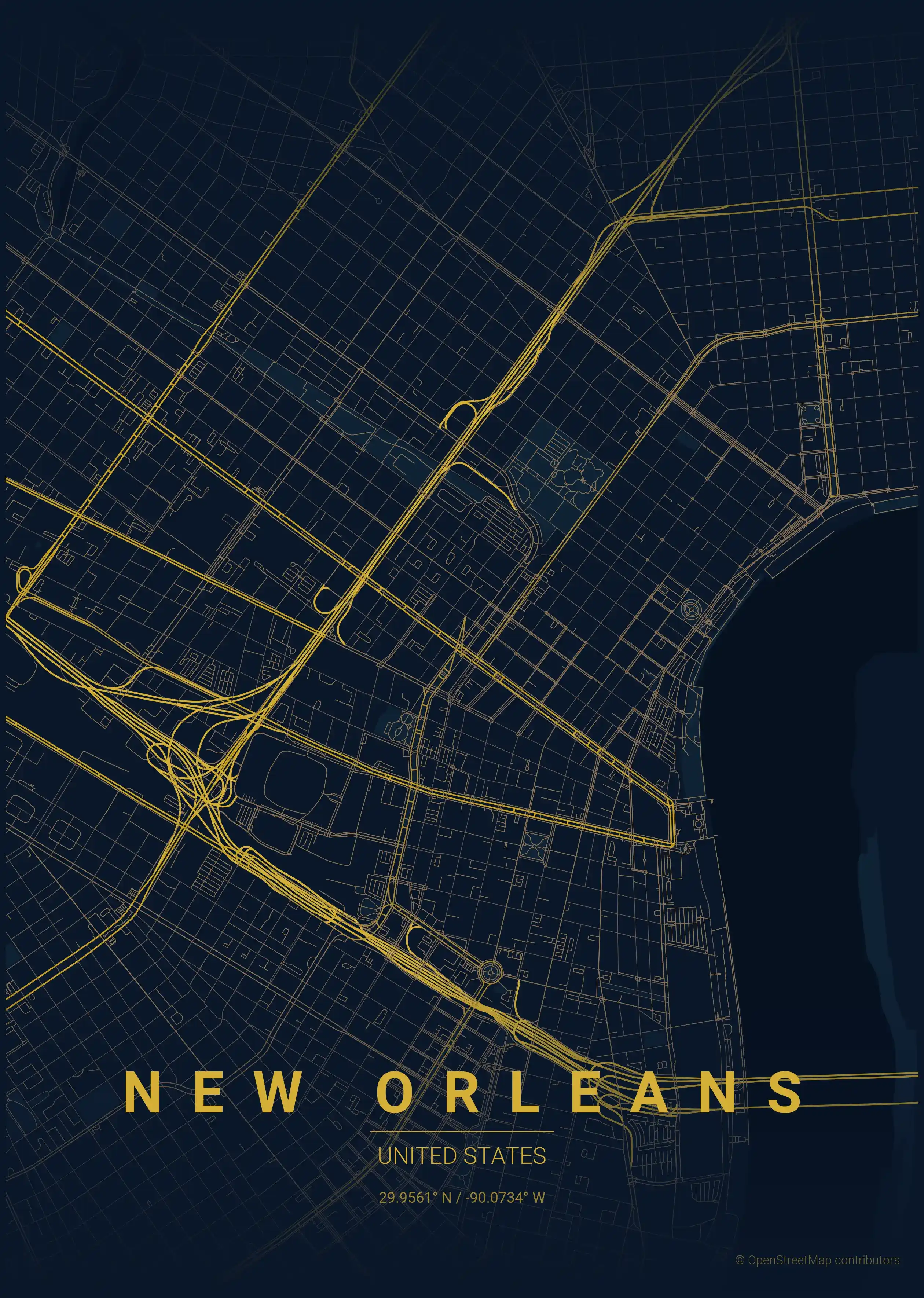
midnight blue
Click to preview
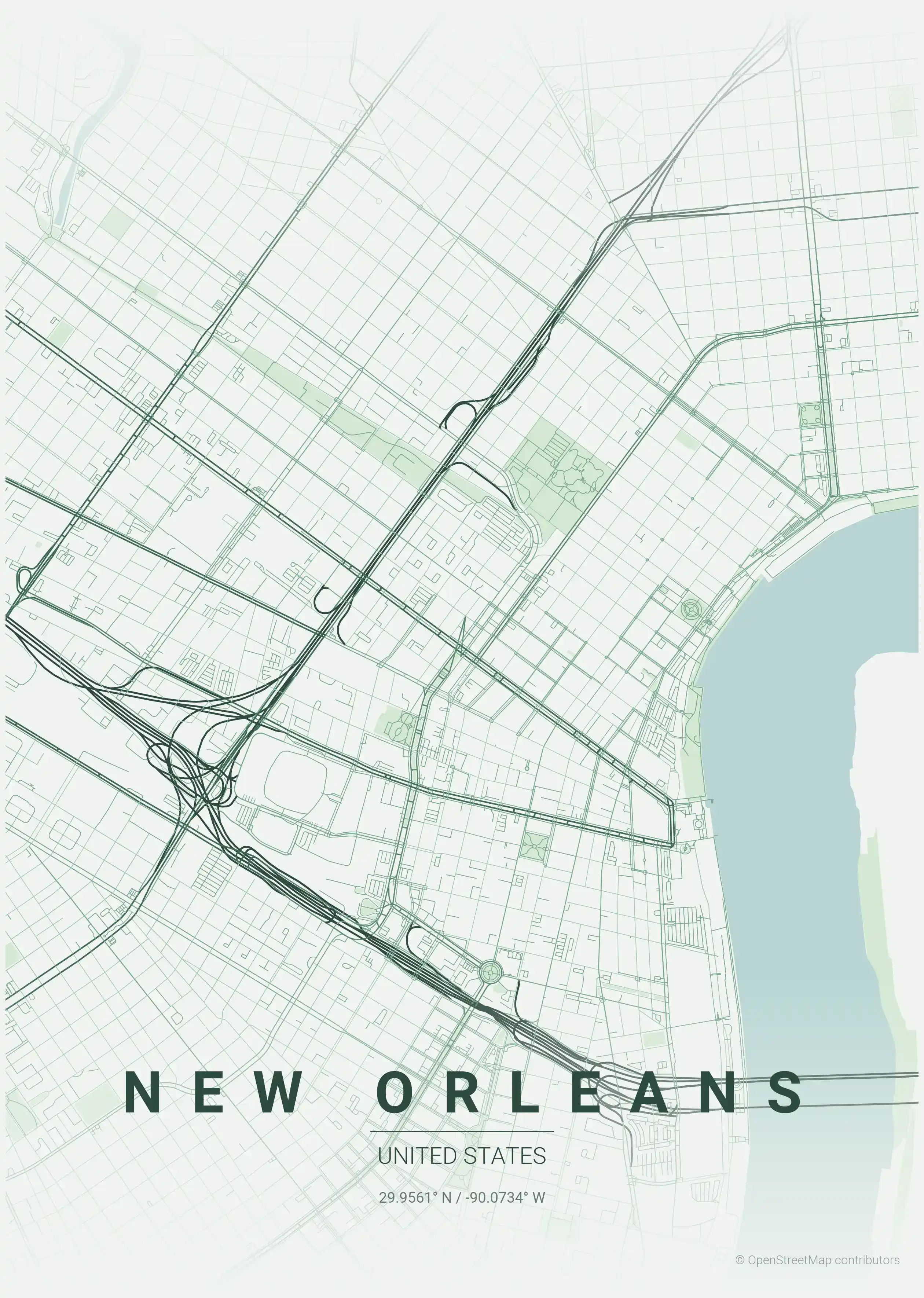
forest
Click to preview
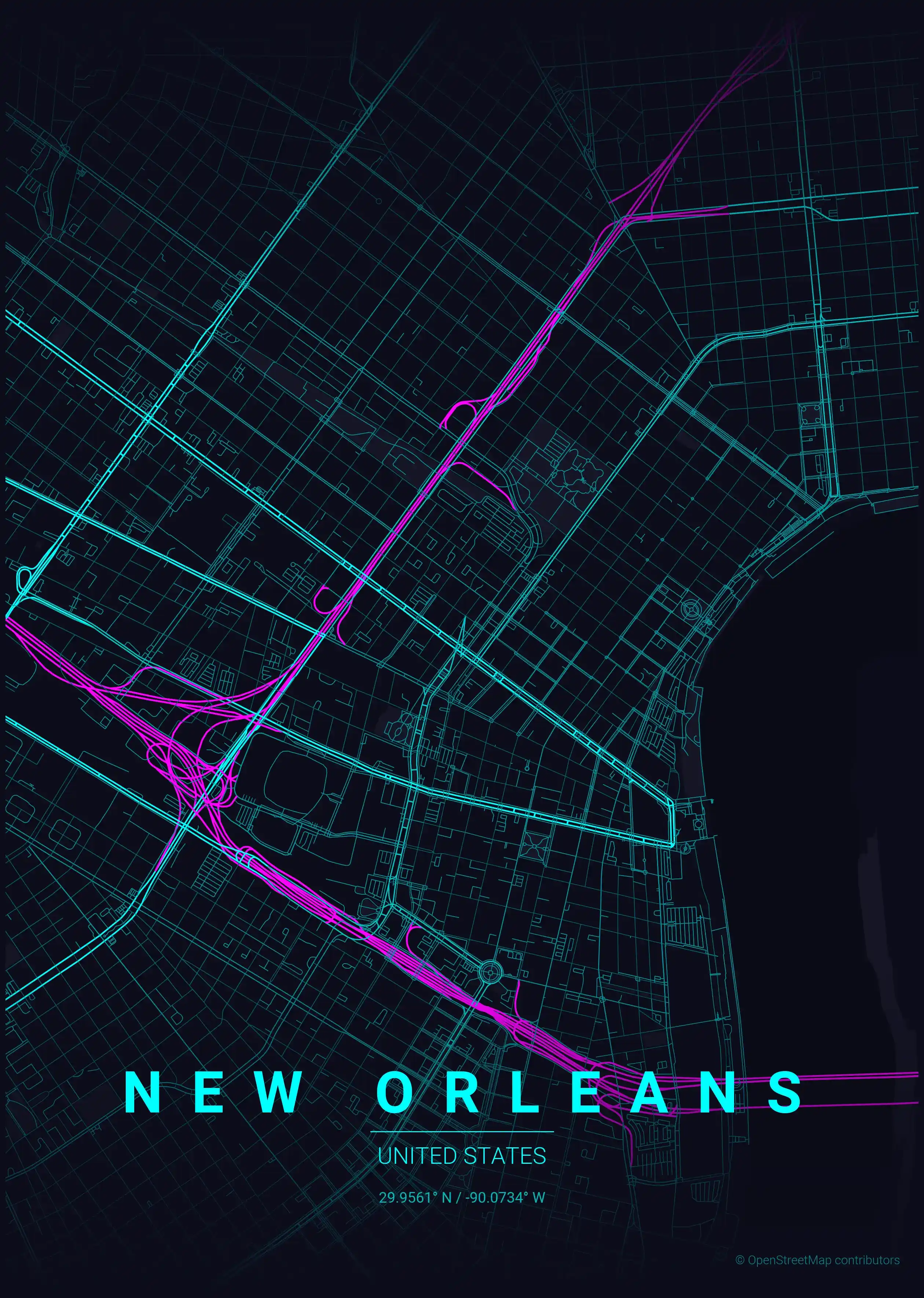
neon cyberpunk
Click to preview
terracotta
Click to preview
japanese ink
Click to preview
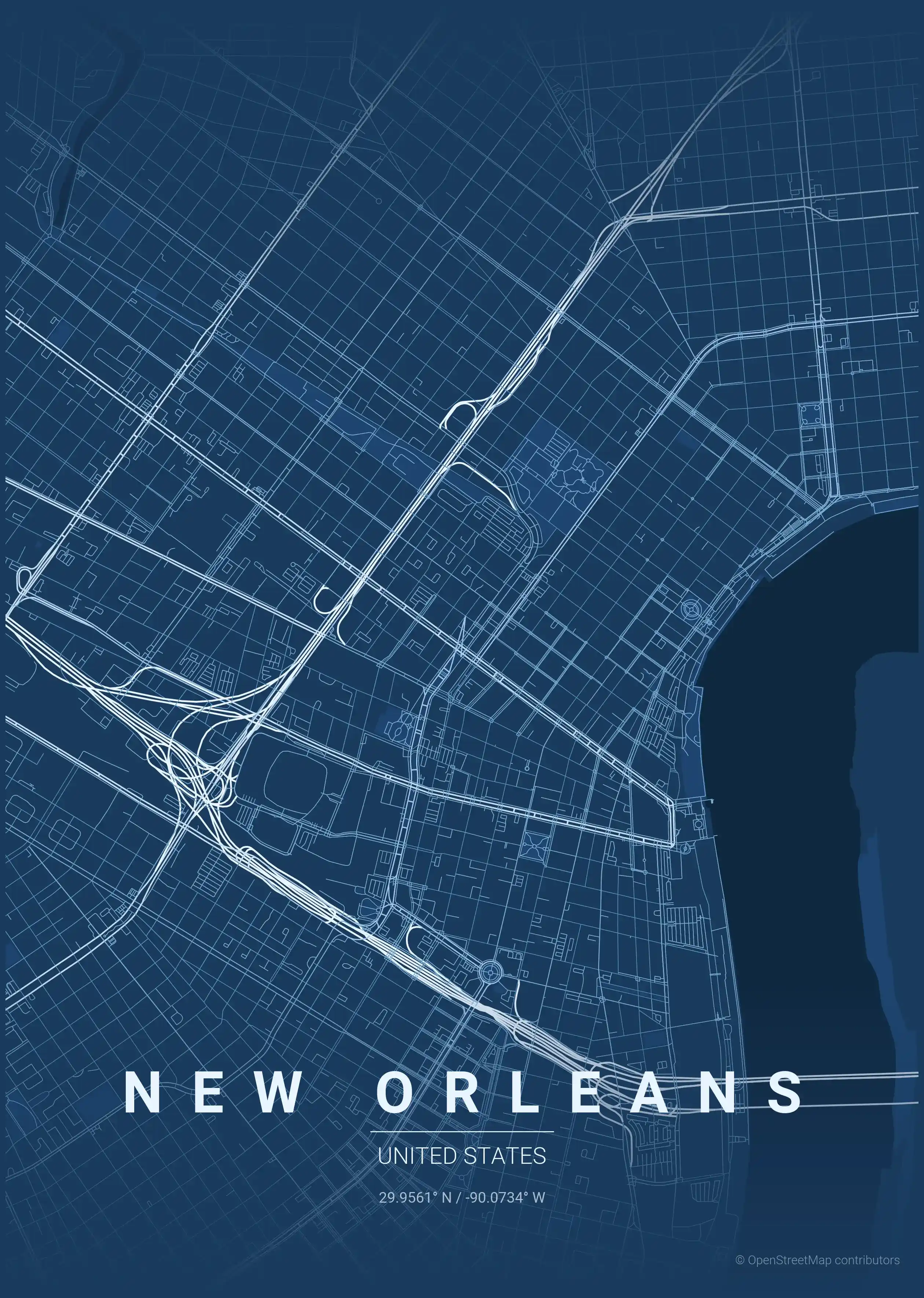
blueprint
Click to preview
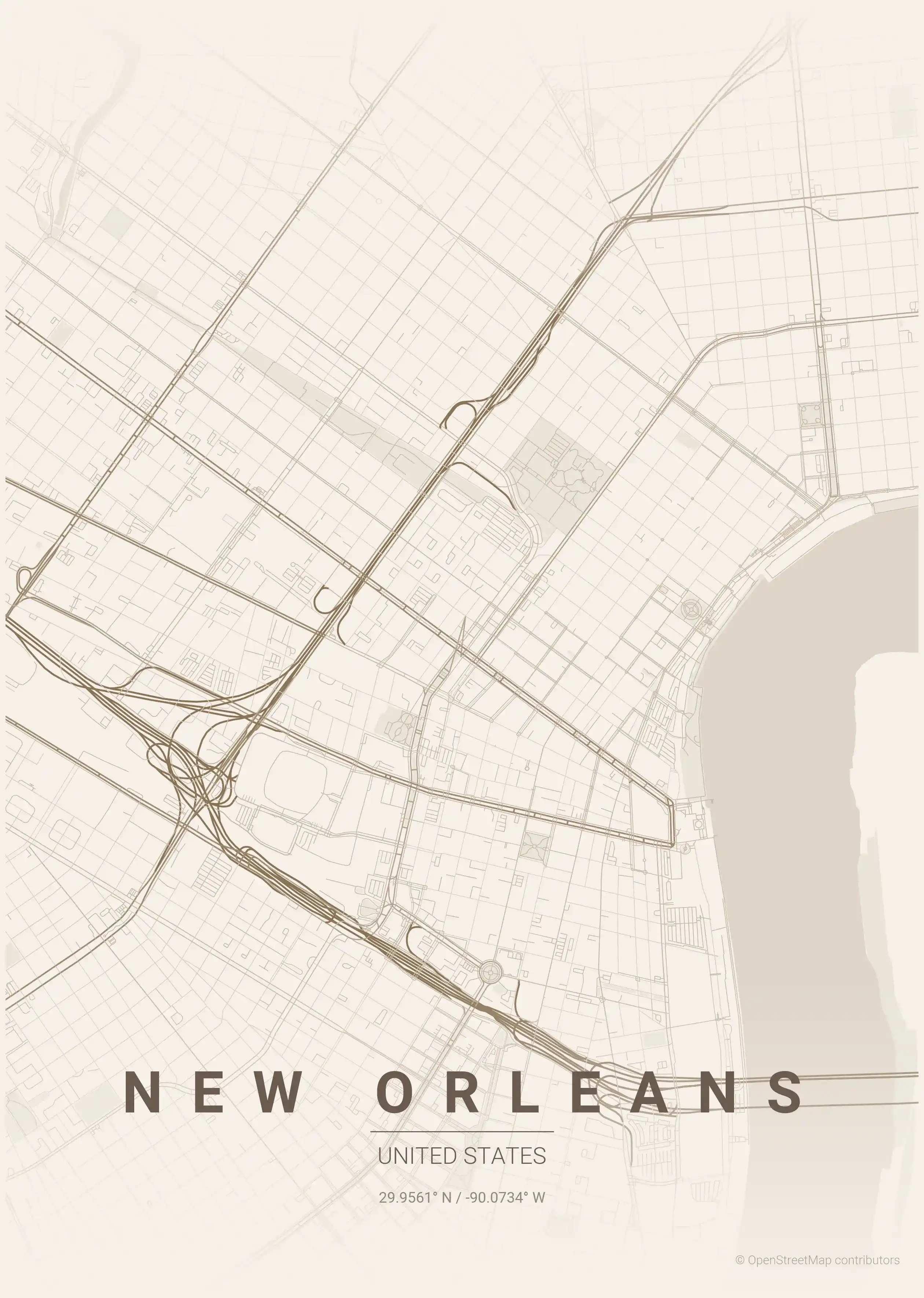
warm beige
Click to preview
sunset
Click to preview
New Orleans Map — FAQ
Common questions about the free New Orleans street map poster
Is the New Orleans map poster free to download?
Yes. Every New Orleans, United States street map poster is 100% free to download for personal use — no signup, no email, and no watermark. Download as many themes as you like.
What does the New Orleans map show?
It's a minimalist street map of New Orleans — a clean outline of the city's real street network, including the the French Quarter (Vieux Carré) and landmarks such as the Mississippi River, the French Quarter, the Garden District. It works as both decorative wall art and a stylised reference map of New Orleans.
What size can I print the New Orleans map at?
The file is high-resolution and prints crisp at sizes up to roughly A1 (24×36 in / 60×90 cm). Popular frame sizes are A3, A2, 18×24 in and 50×70 cm.
How many themes are available for New Orleans?
New Orleans is available in 9 artistic themes, including contrast zones, midnight blue, forest and more — same street layout, different colour palettes.
More Maps from United States
Discover other cities in our collection
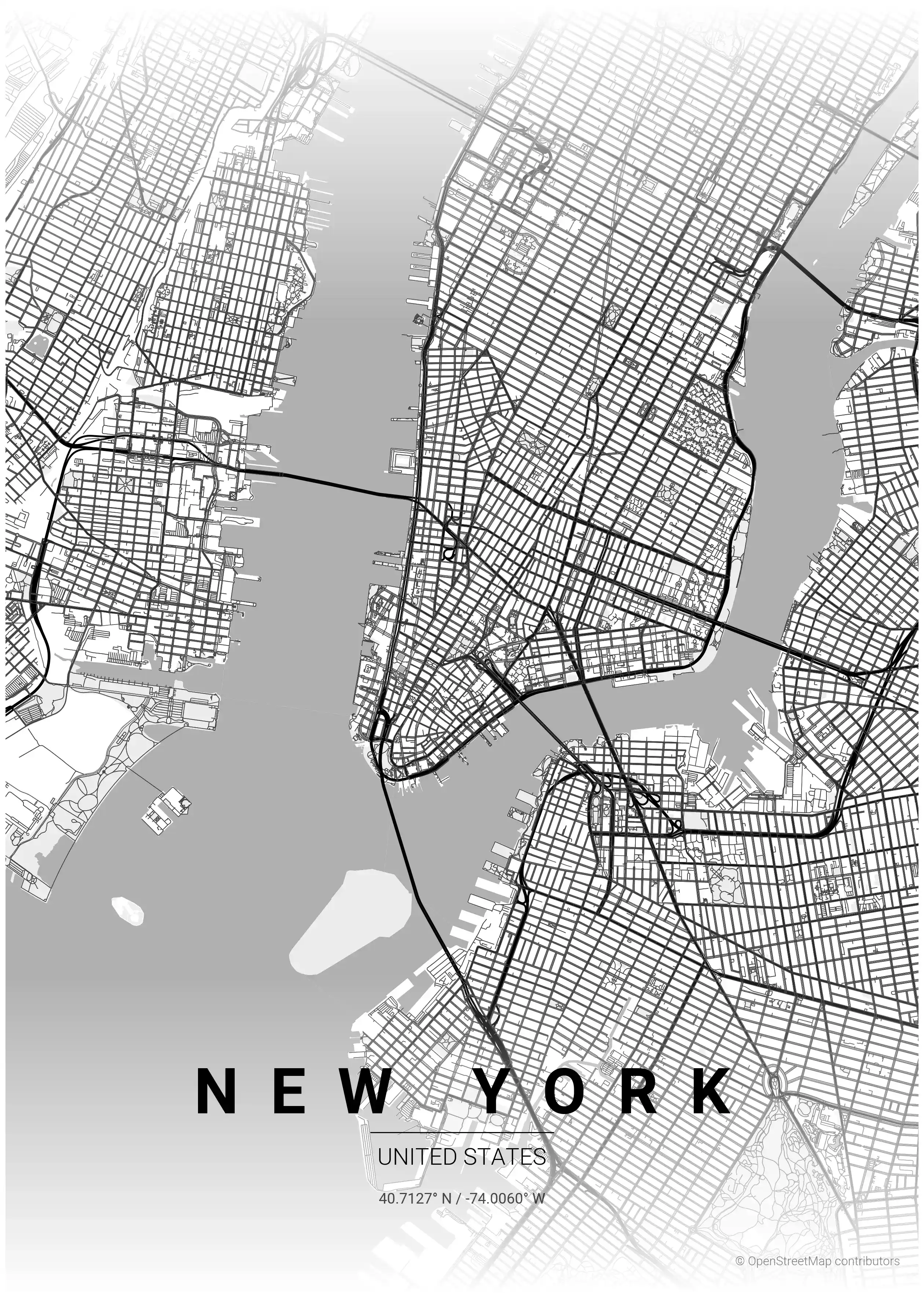
New York Map Poster
Explore New York's iconic skyline and intricate street network with this minimalist map poster, perfect for modern interiors and urban art enthusiasts.
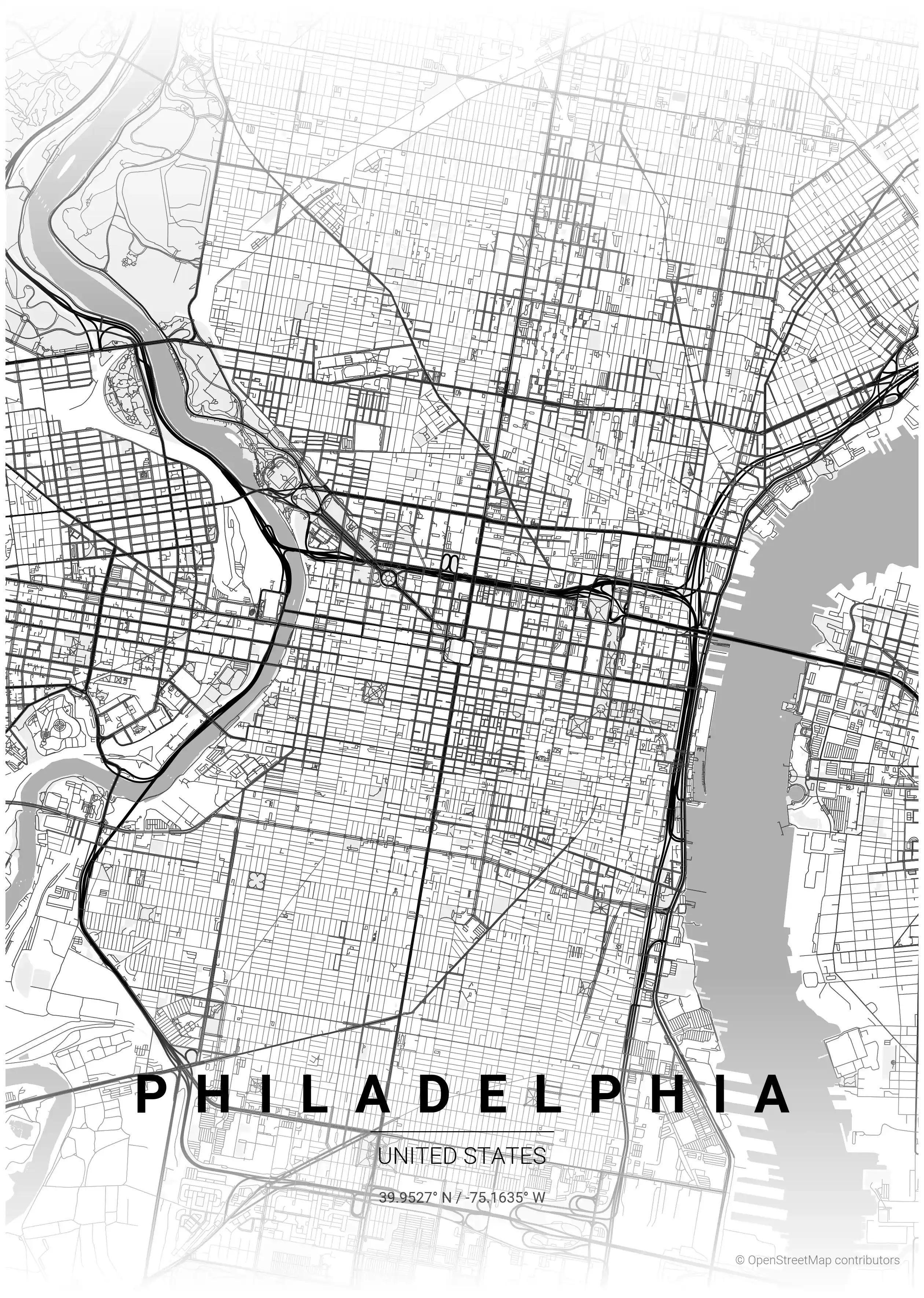
Philadelphia Map Poster
Discover Philadelphia's essence with this minimalist street map poster, showcasing iconic landmarks and a sleek street network—perfect for modern interiors and urban art lovers.
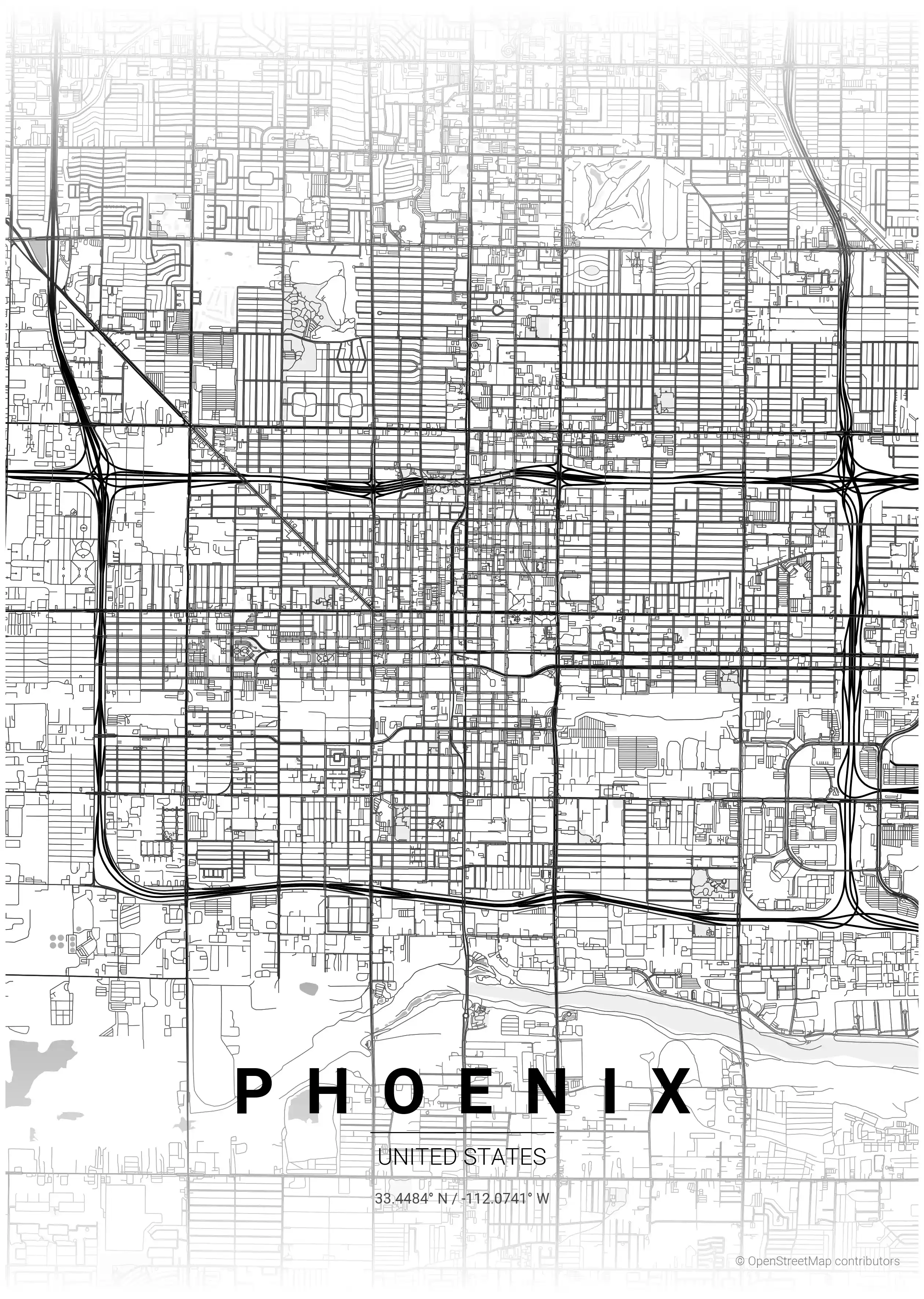
Phoenix Map Poster
Discover Phoenix's vibrant spirit with our minimalist street map poster, showcasing its iconic landmarks and intricate network. Perfect for modern interiors and urban art lovers!
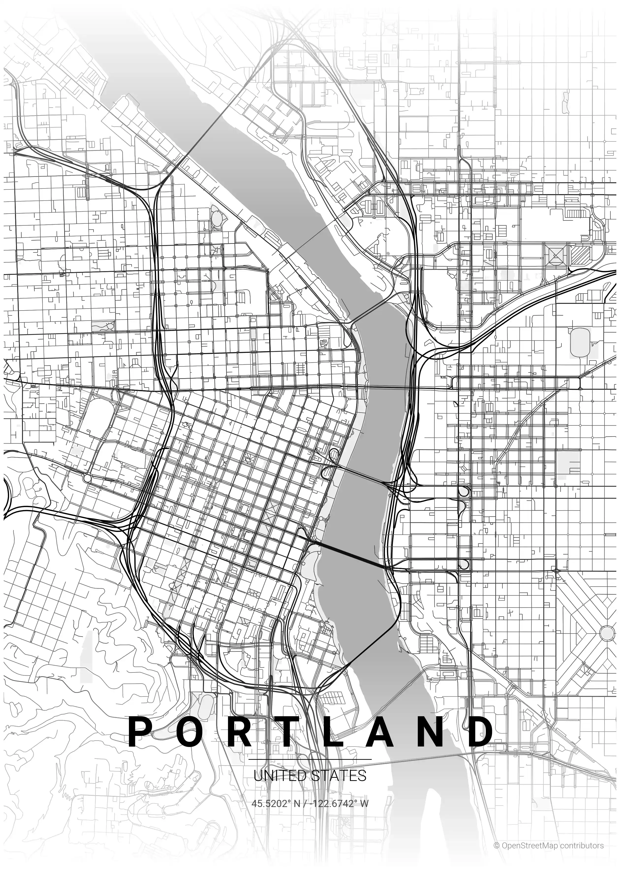
Portland Map Poster
Discover Portland's charm with this minimalist street map poster, showcasing iconic landmarks and its unique urban network—perfect for modern interiors and art lovers!
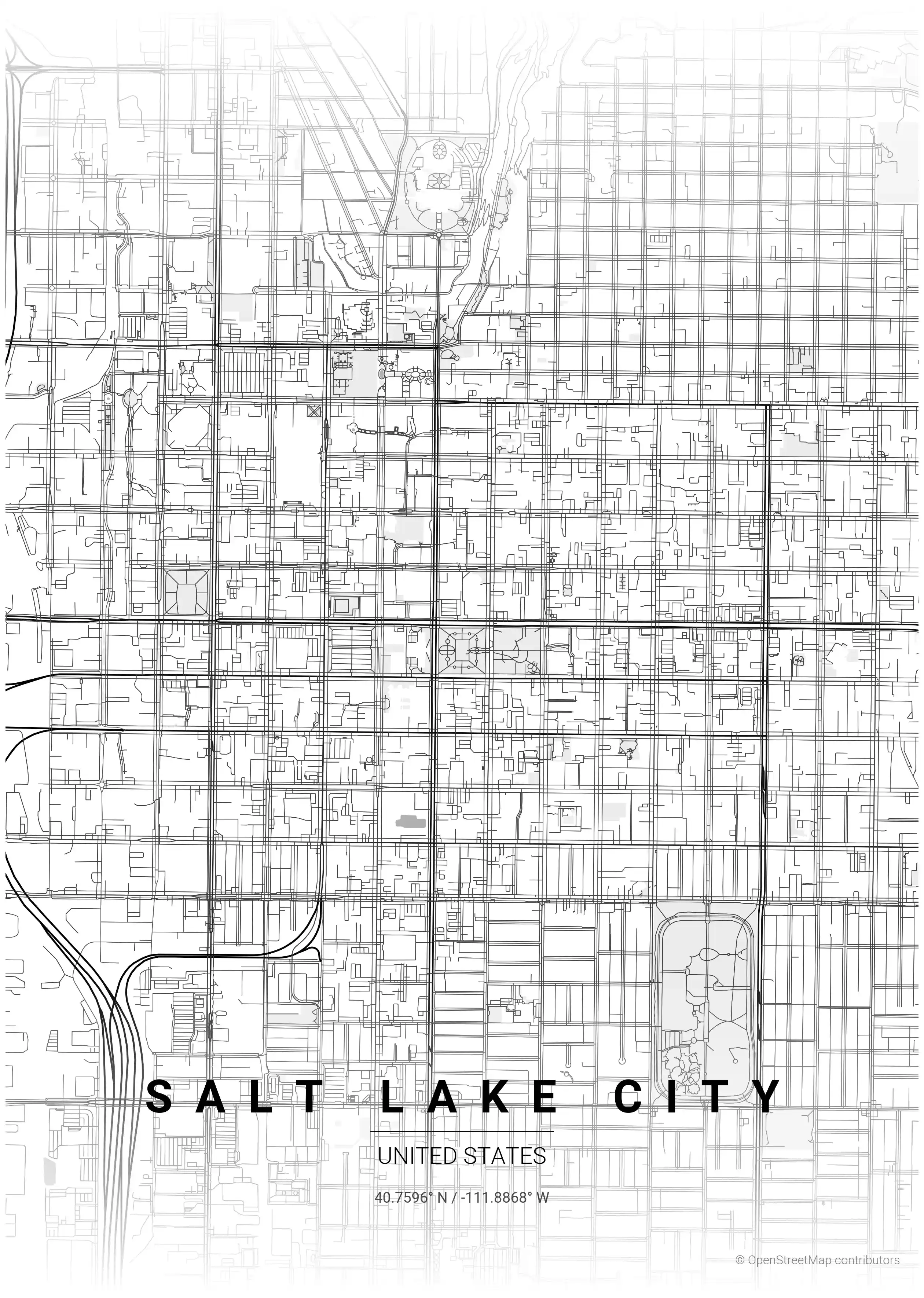
Salt Lake City Map Poster
Discover the stunning simplicity of Salt Lake City's minimalist street map poster, featuring iconic landmarks and a striking urban layout—perfect for modern interiors and art lovers.
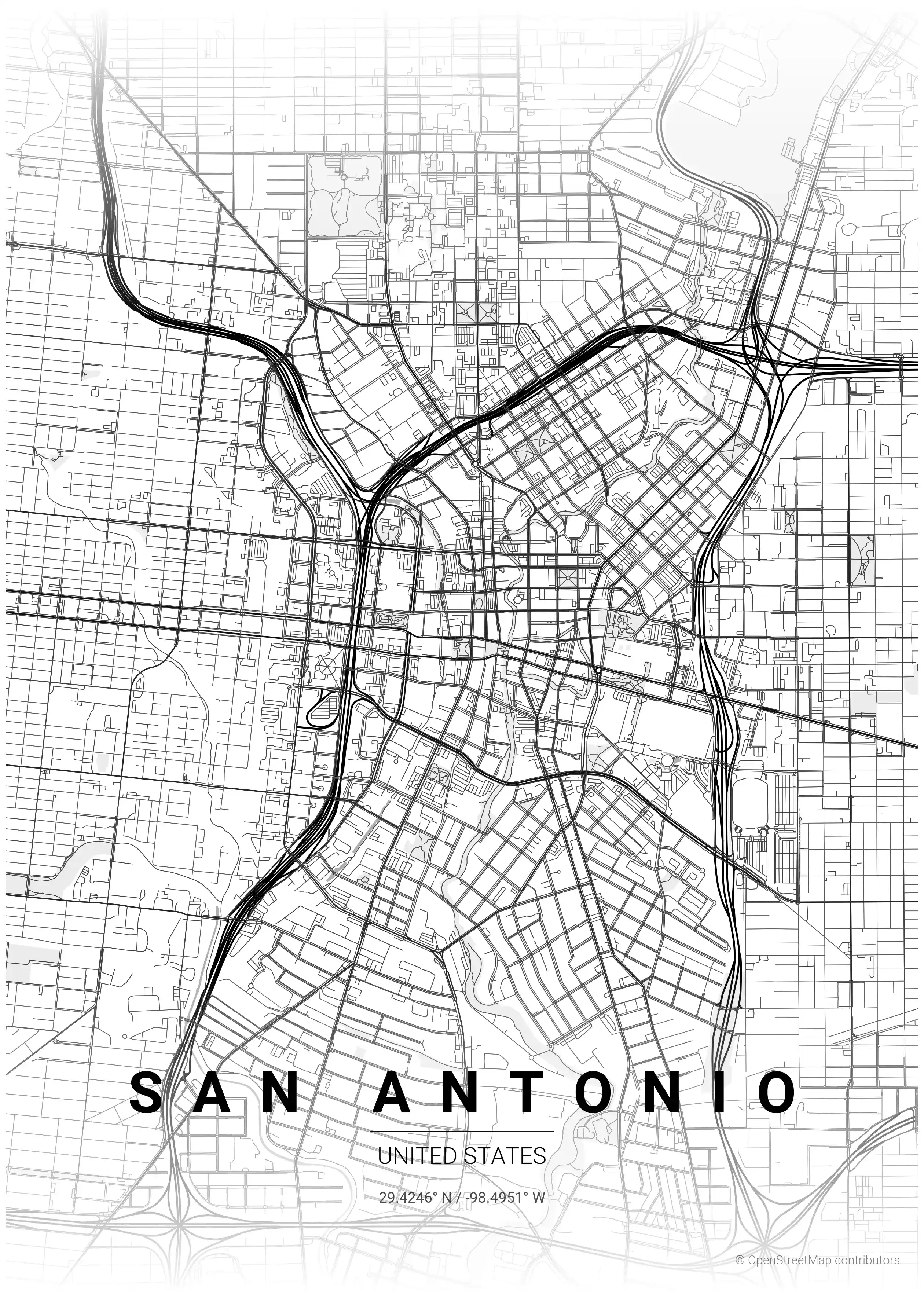
San Antonio Map Poster
Explore San Antonio's unique charm with this minimalist street map poster, showcasing iconic landmarks and a stunning network of streets—perfect for modern interiors and urban art lovers.