El Salvador City Map
Free street map posters of 1 city
A minimalist map of El Salvador and its cities. Explore free, printable street map posters of San Salvador — each city mapped in 9 artistic themes and available as a high-resolution download.
Cities of El Salvador on the map: San Salvador.
About El Salvador City Maps
Looking for an El Salvador city map you can print and hang? This is the place. We turn the street grids of El Salvador’s cities into clean, minimalist poster art — every avenue, plaza and river rendered as a high-resolution printable city map, free to download.
El Salvador is the smallest and most densely populated country in Central America, and its urban character reflects that intensity. Cities here grew up between volcanoes and river valleys, with colonial-era cores rebuilt again and again after earthquakes, ringed by tightly packed modern neighbourhoods that climb the surrounding hills.
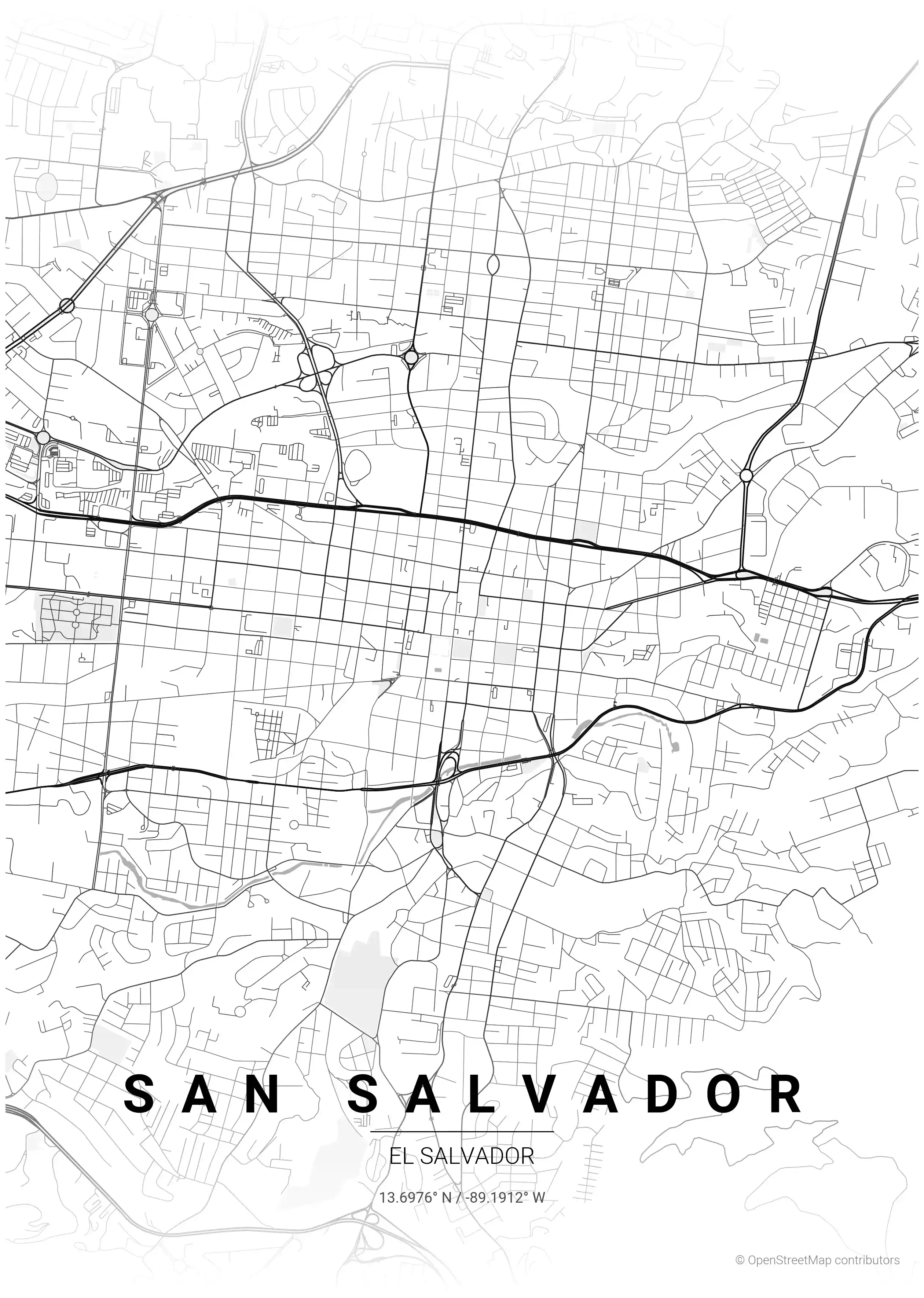
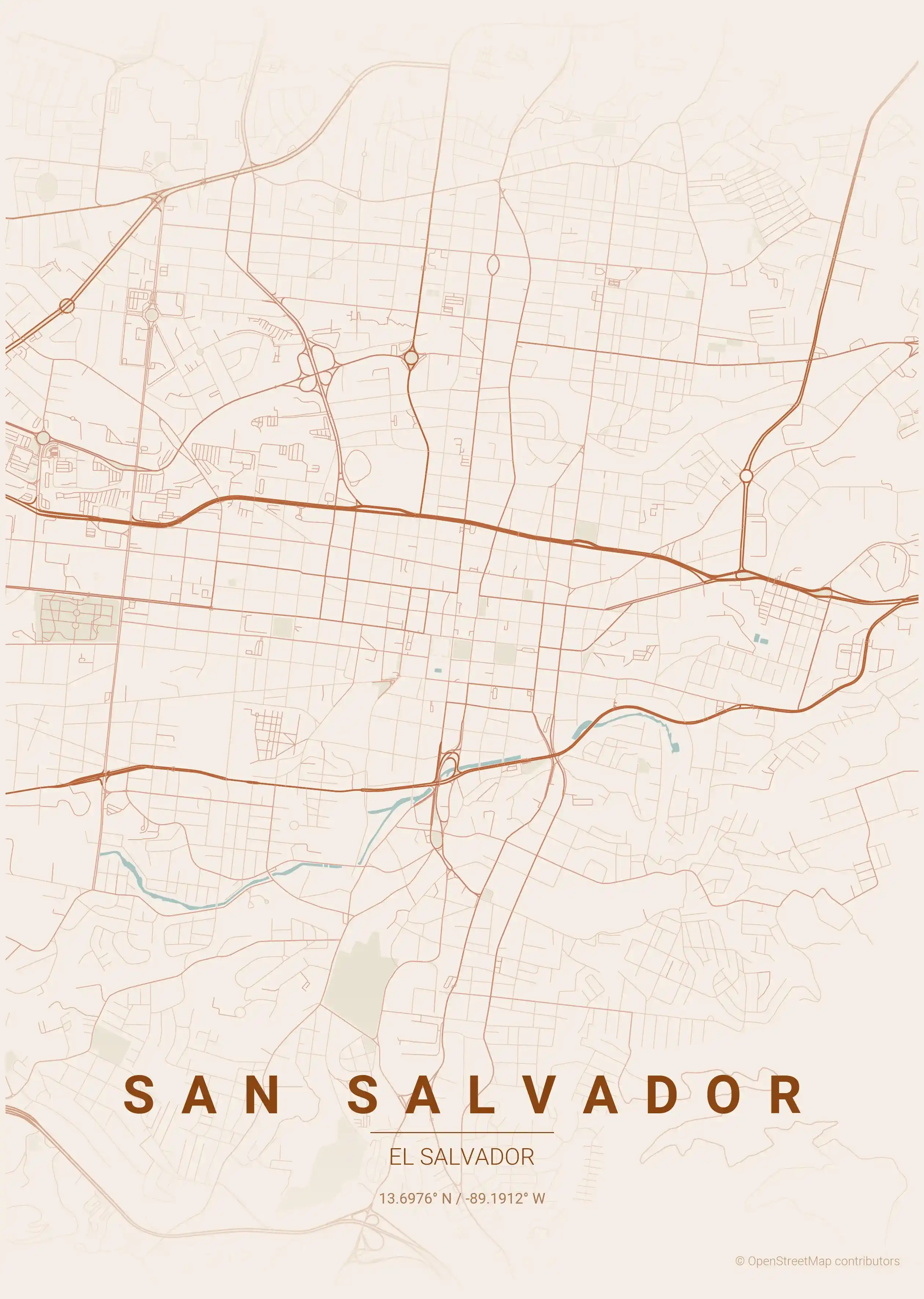
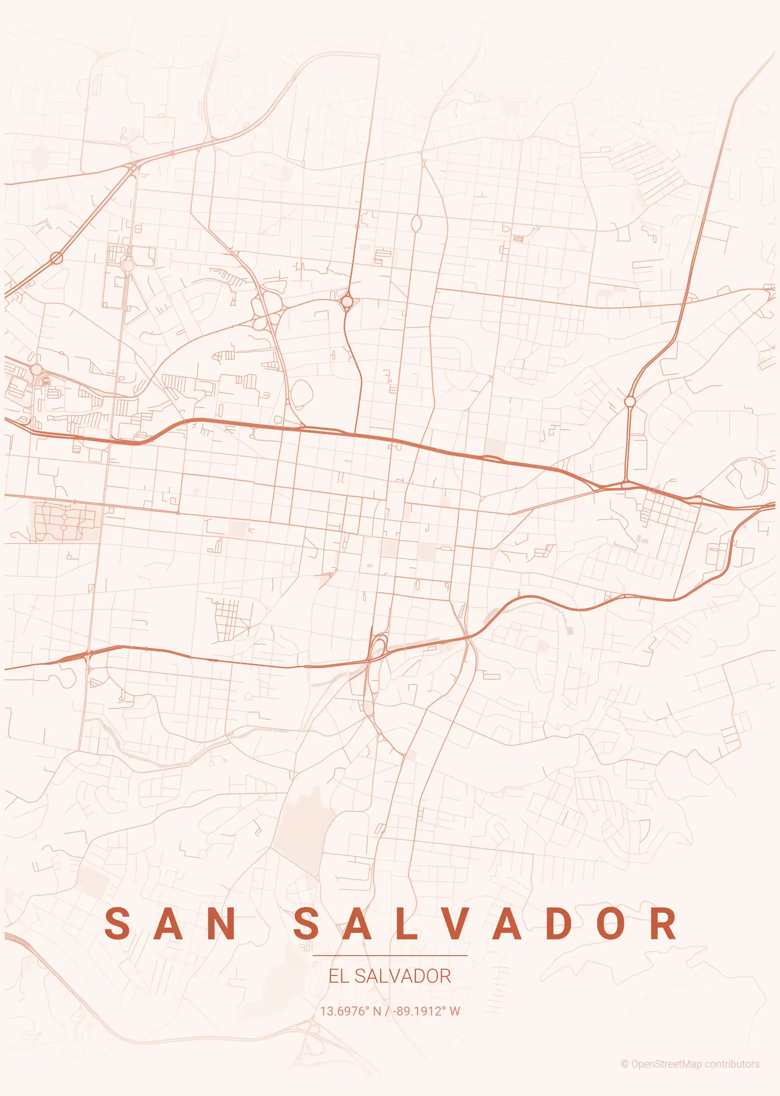
Browse free street maps of El Salvador cities: San Salvador, the capital, whose grid bends around volcanic terrain and radiates outward from a historic downtown into districts like San Benito and the Zona Rosa.
A San Salvador street map makes for distinctive wall art — instantly recognisable to anyone who knows the city, yet abstract enough to suit any room. Each design comes in several artistic themes, from warm terracotta and tropical sunset palettes to cool blueprint and midnight blue.
Exploring the rest of Central America? Compare with our neighbouring Guatemala city maps and Honduras city maps for more printable street map posters. Every El Salvador map is a free download in print-ready resolution, with no signup required.
More North America City Maps
Explore More Cities
Discover map posters from cities across North America in our complete collection.